Hine Road Recreation Area is a large meadow that adjoins Wainuiomata Regional Park to the east.
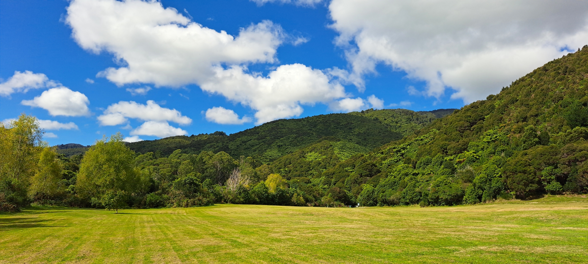
Hine Road Recreation Area was also known as ‘The Meadow’ because it is a large grassland area. Encircled by the Wainuiomata River and encompassed by bush, this area used to be home to horses that grazed on-site.
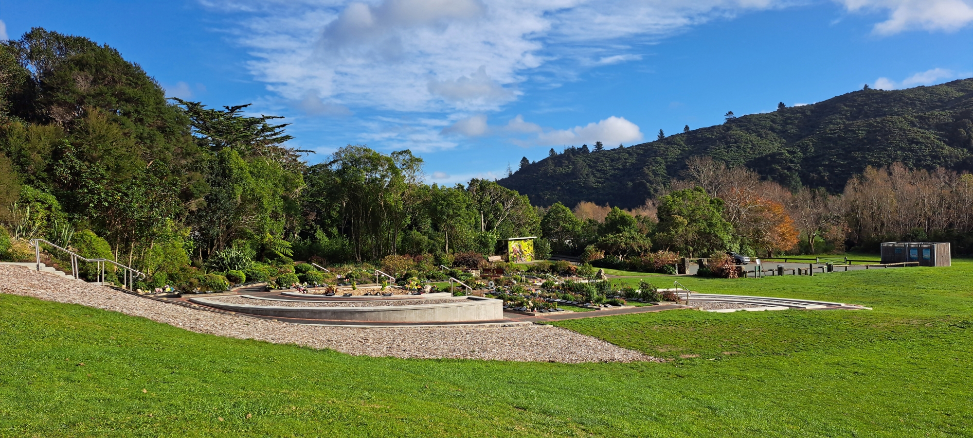 Hine Road Recreation Area is still a large meadow today, but without grazing horses. It does hosts the Wainuiomata Garden of Remembrance a beautiful cemetery and in the bush nearby is the historic Sinclair Cemetery. At the entrance to the park (the car park) are some well kept toilets for your convenience. You can also walk down to the Wainuiomata River. Entrances to Top Pool, Gums Loop Walk, and the Whakanui Track are all located here, although the Whakanui also has an entrance at the top of Sunny Grove, but there is a lack of good car parks there.
On its own, the recreational area is popular place to walk your dog, kick a ball, or go for a stroll. But many enter the area to explore further in the adjoined Wainuiomata Regional Park to do one of the walks on offer there. You can also walk to the Waterworks area and see the lower dam which has been decommissioned. There is also a track that takes you to Richard Prouse Park.
The meadow originally served as a pasture for grazing horses, eventually becoming engulfed in tall grass occasionally trimmed. In the later part of the 1970s and early 80s, blackberry bushes began encroaching from the northern end, but a pathway through to Secret, a secluded swimming spot, was maintained by constant footprints.
 In 1985, a plan was initiated to transition The Meadow and the area eastward spanning up to 800 meters into Reservoir Valley from a restricted zone, to a recreational area. Prior, this land was restricted to the public due to its proximity to the water catchment. The aim was to link it with Richard Prouse Park and what was then Rimutaka State Forest Park, now renamed Remutaka Forest Park. The blueprint included a designated parking area at the terminus of Hine Road, an informational signboard, and a footbridge spanning the Wainuiomata River for access to Top Pool and the Triangle, a grassy area adjacent to Top Pool and the Whitcher Grove car park.
Over time, the Hine Road Recreation Area shrunk to include the original meadow, while the zone beyond the footbridge leading to the Triangle now marks the inception of Wainuiomata Regional Park. The former Rimutaka State Forest Park has since been rebranded as Remutaka Forest Park. This division may reflect the two owners back in 1985 involved in the plan. The Meadow was owned by the New Zealand Forest Service and the Reservoir Valley by the Wellington Regional Council.
Credits
Special thanks to Jeremy Foster for some information in this article.


DISCUSSION