
The Rata Ridge Track offers a moderately challenging loop circuit well-known for its tranquil setting.
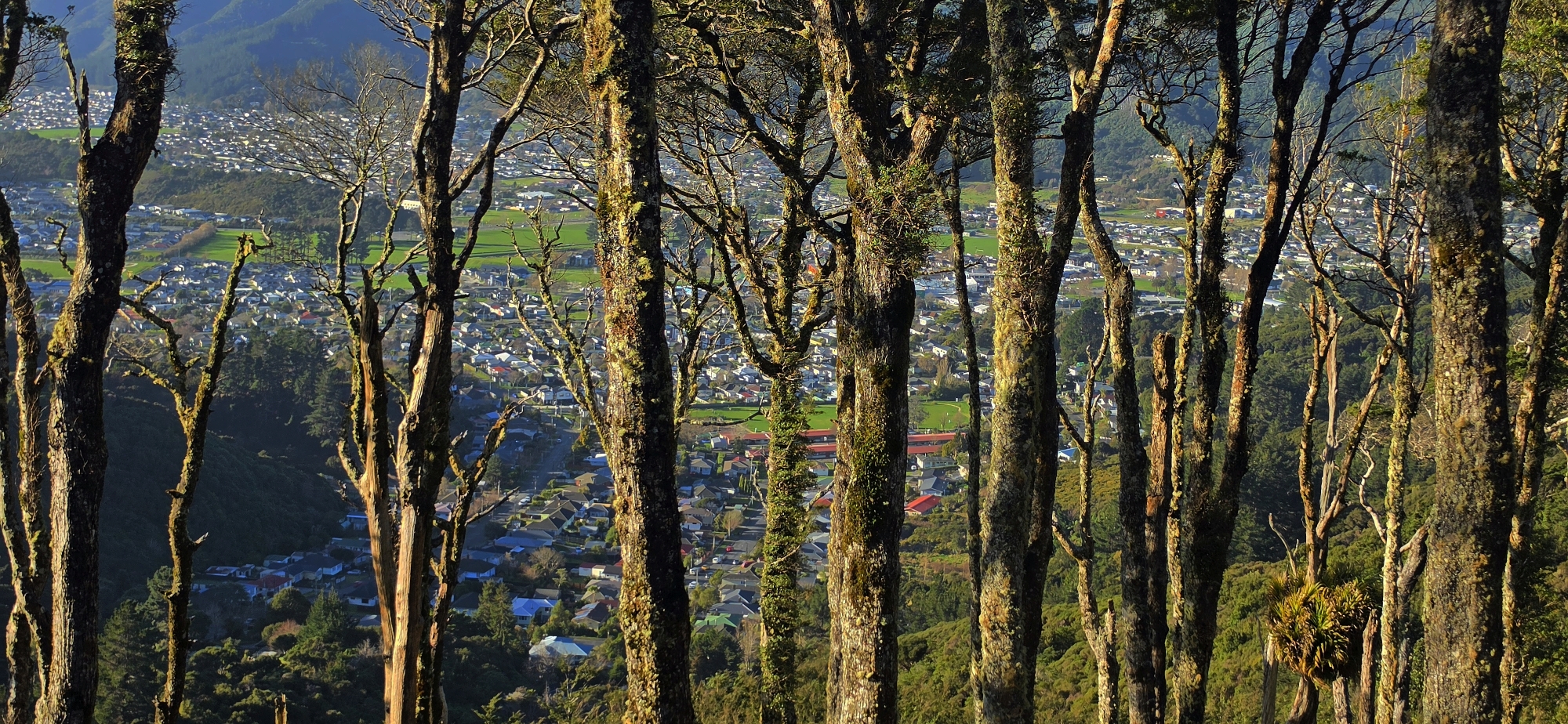
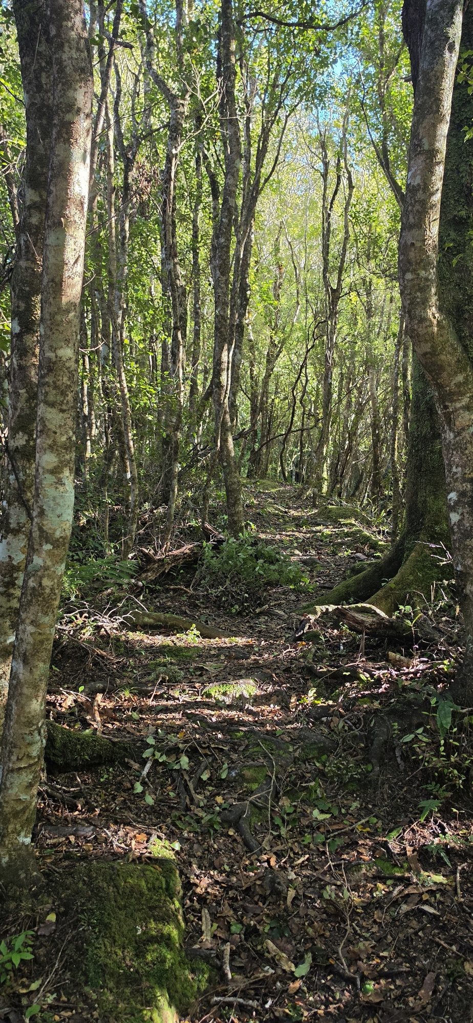
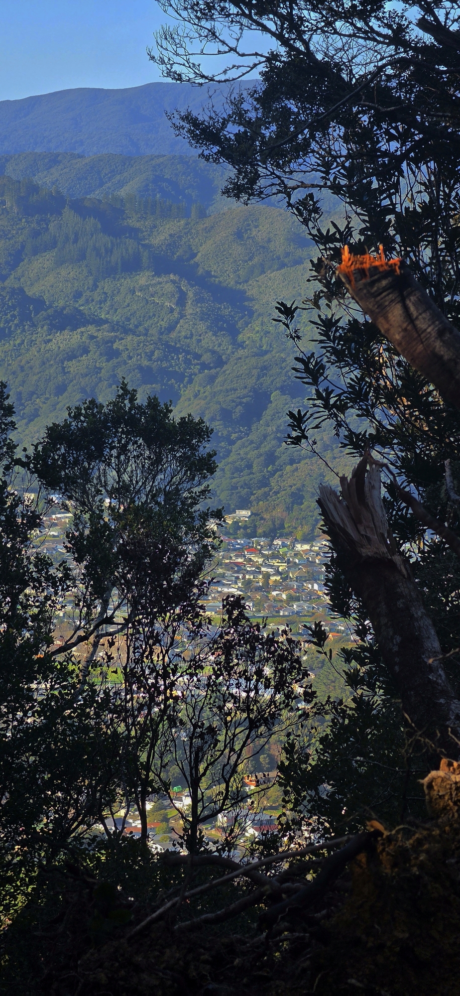
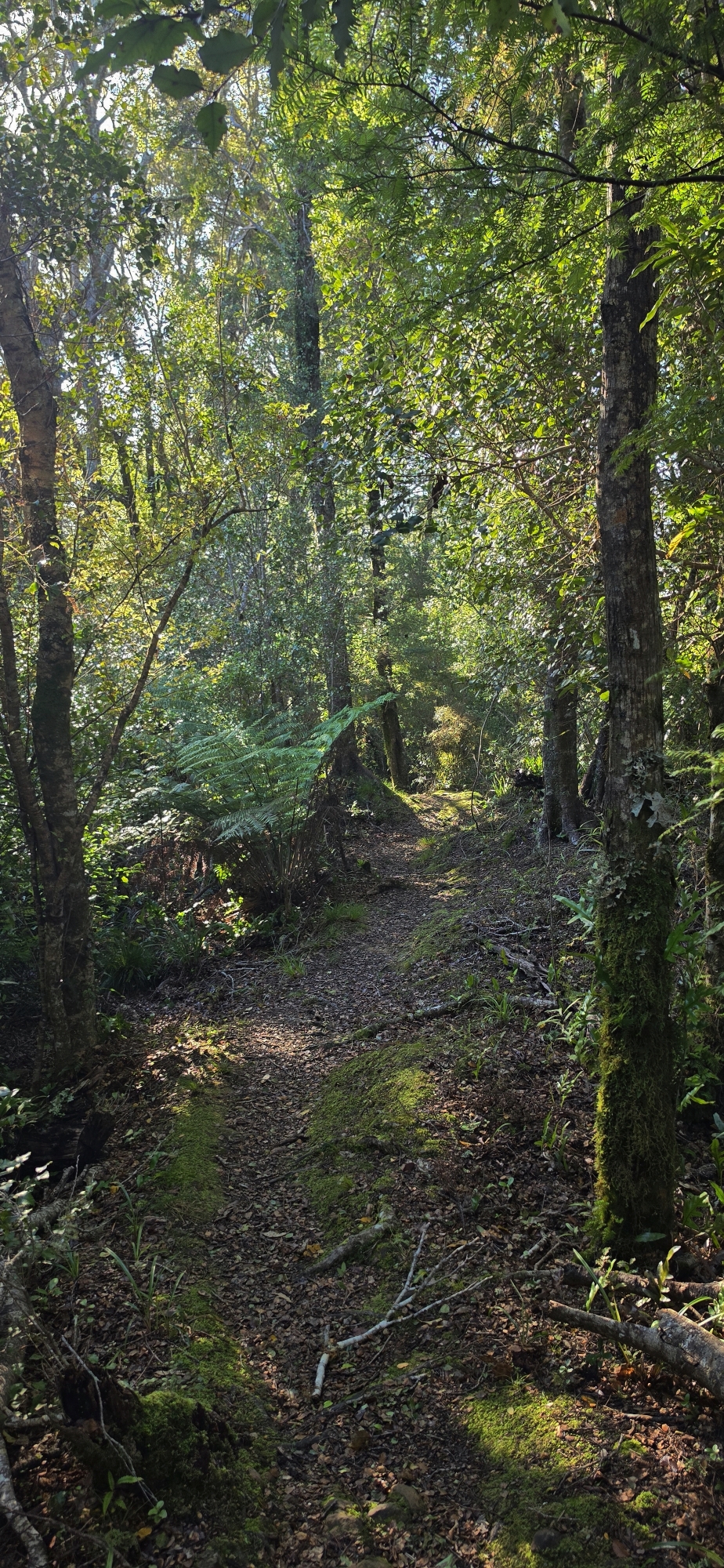
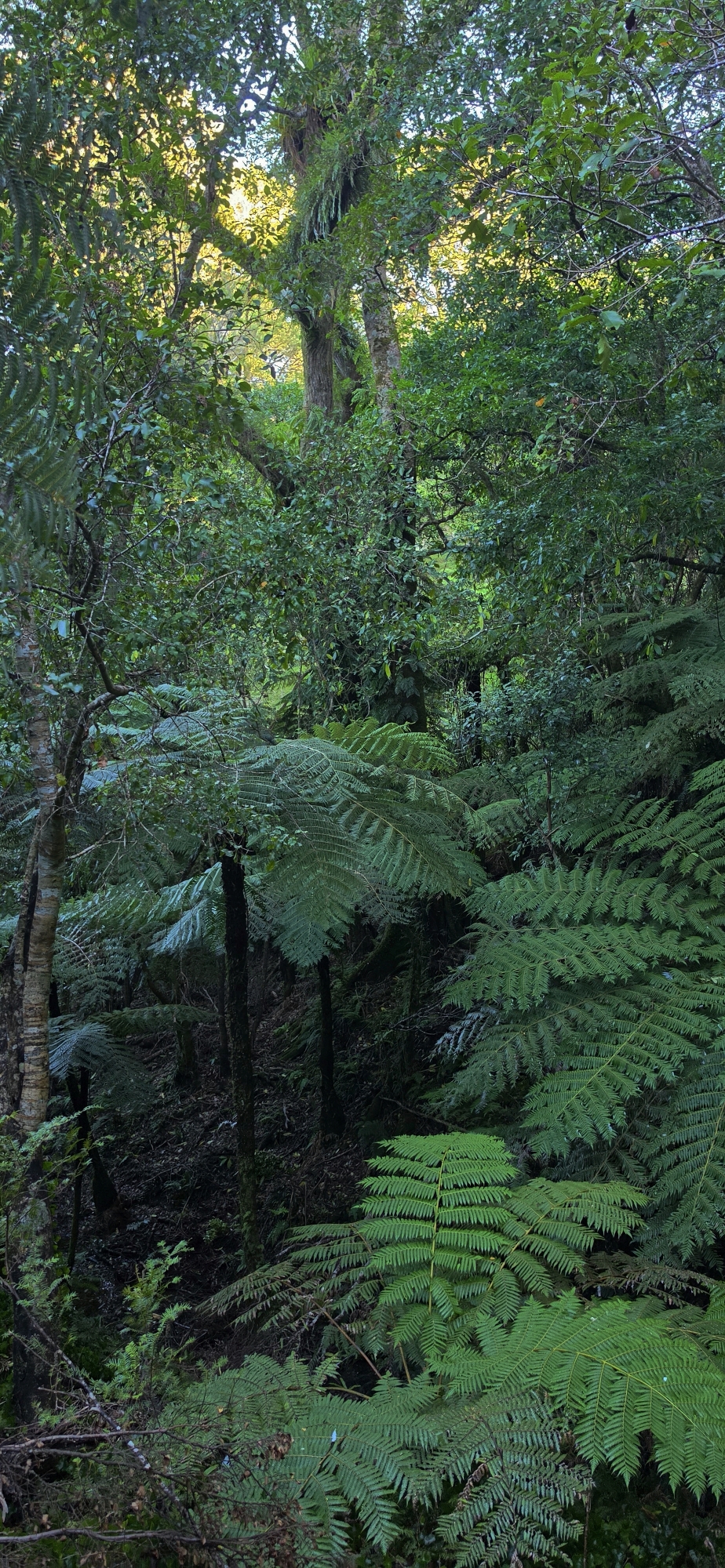
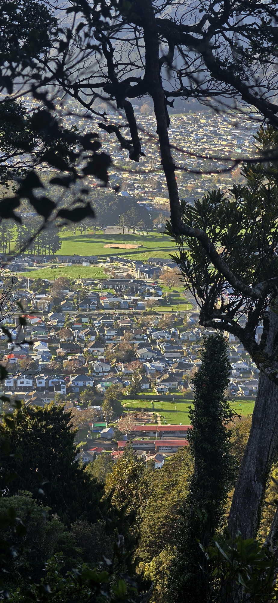
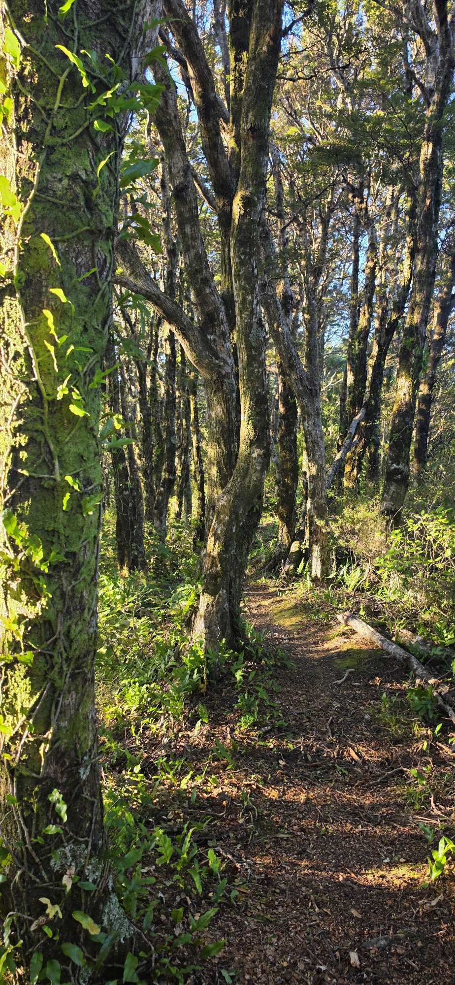
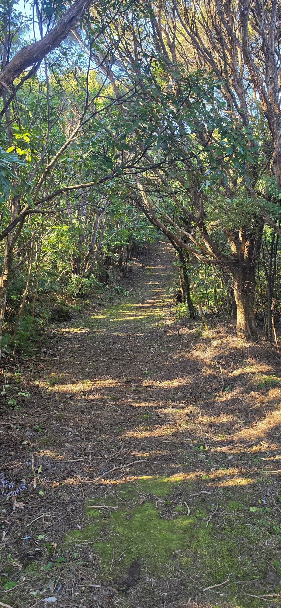
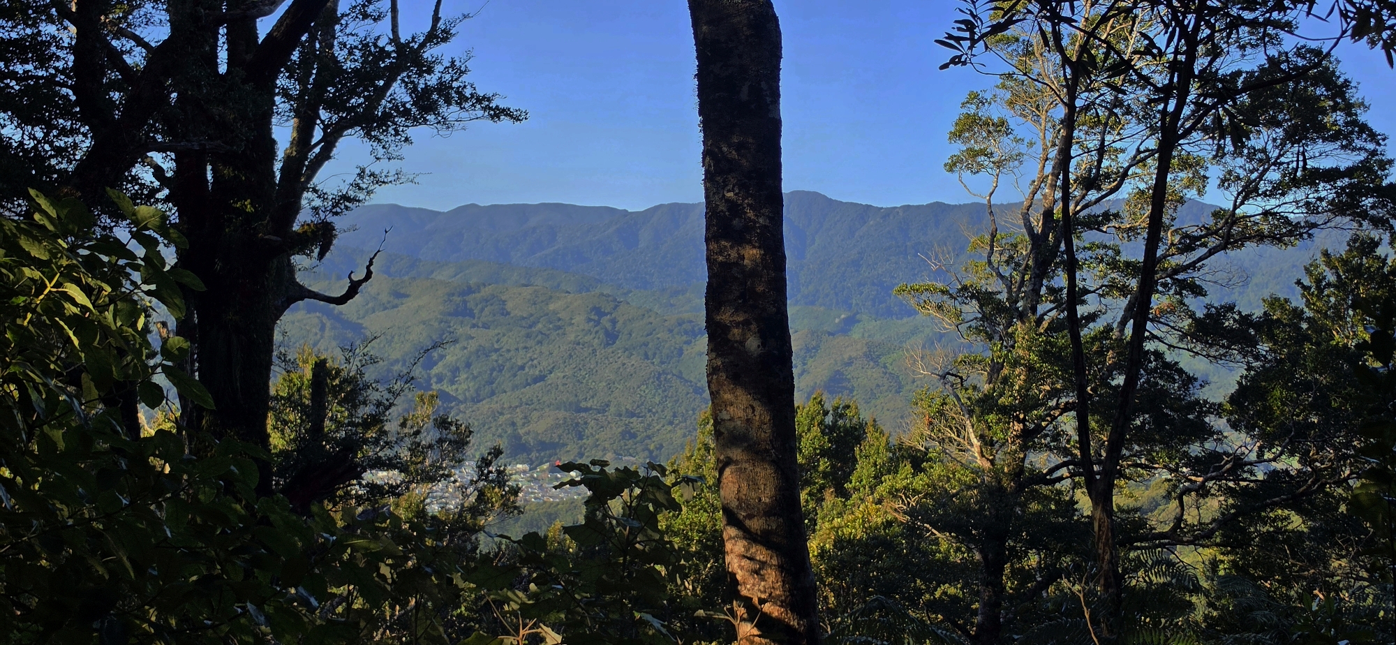
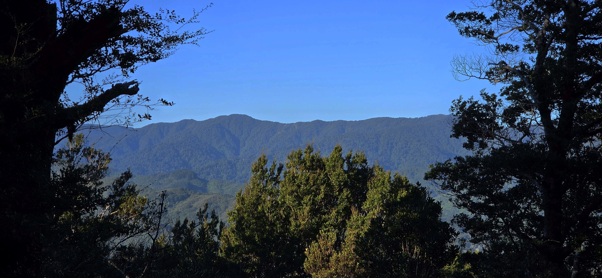
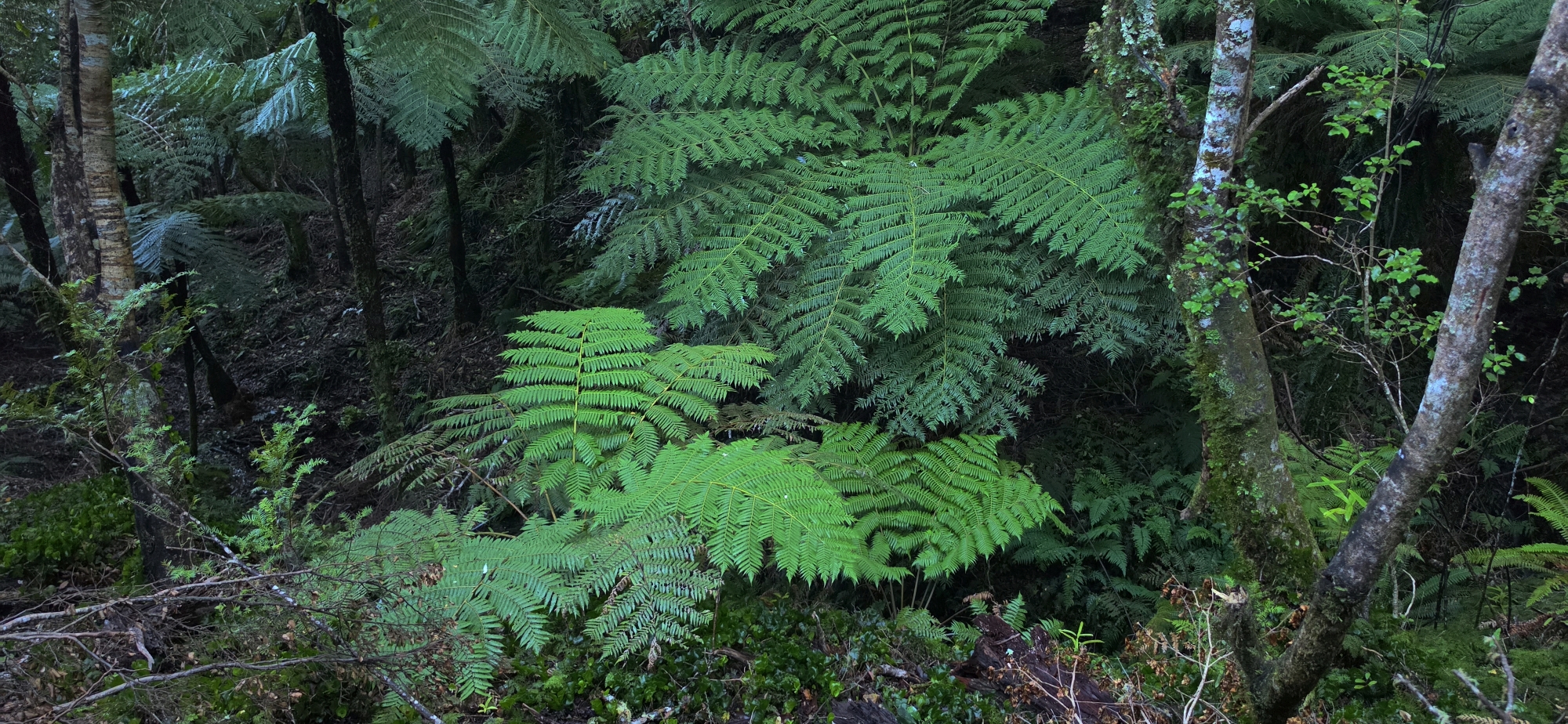
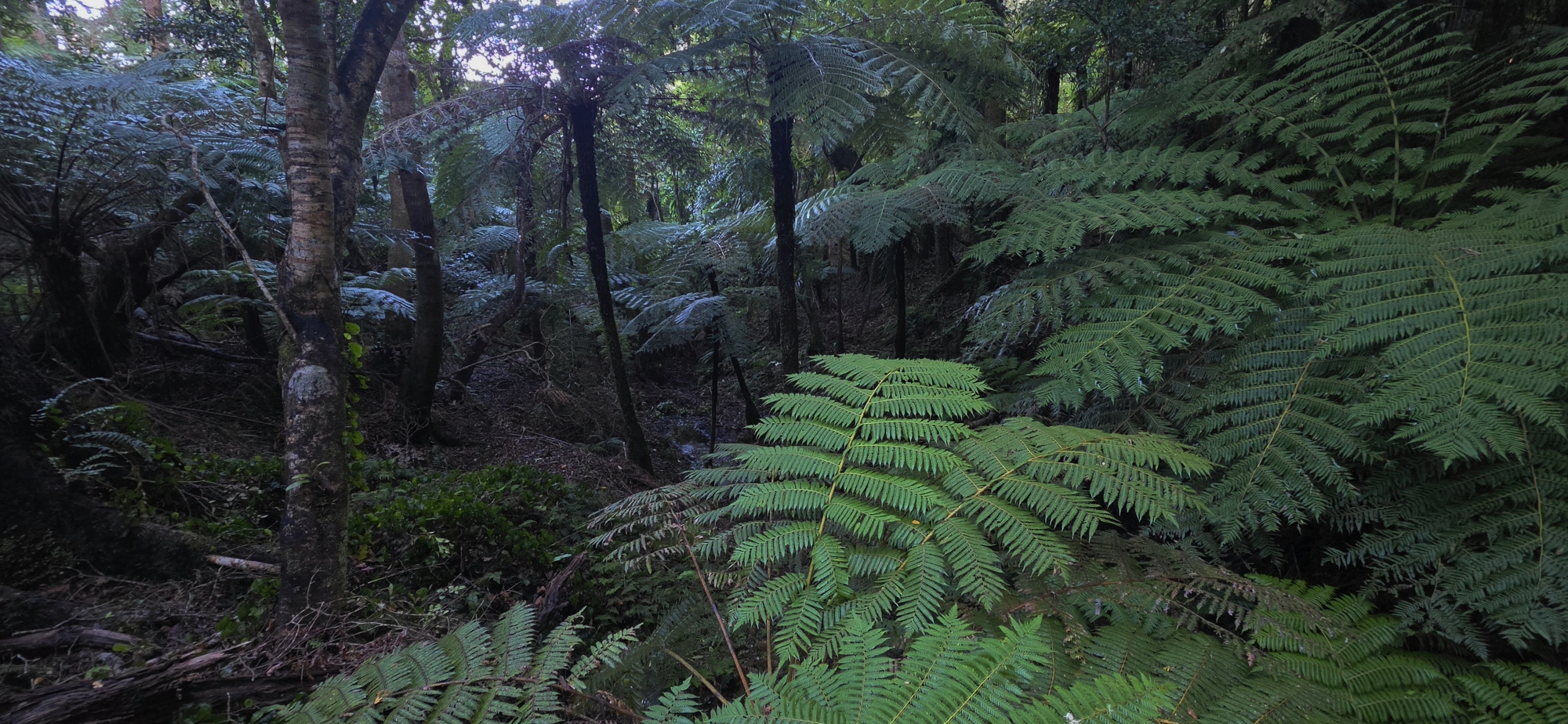
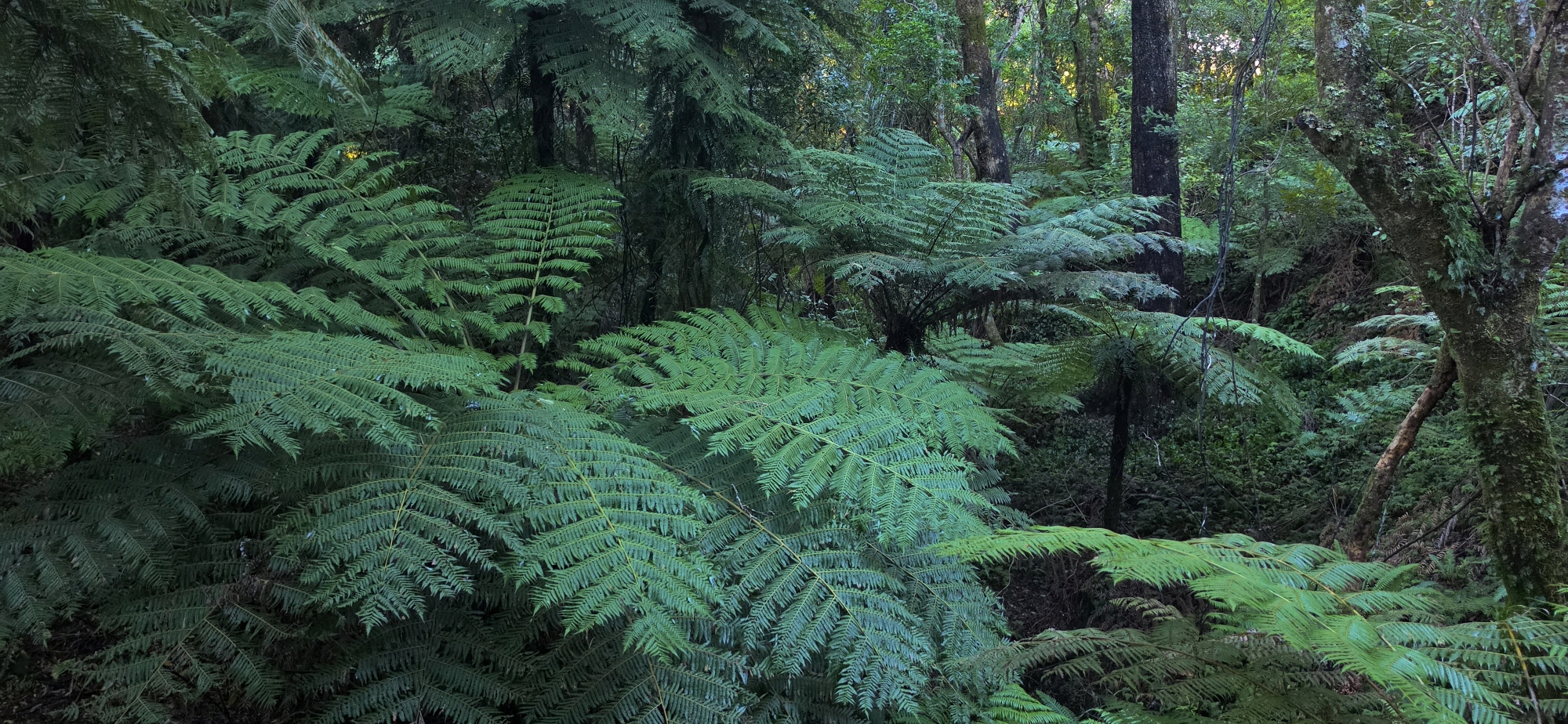
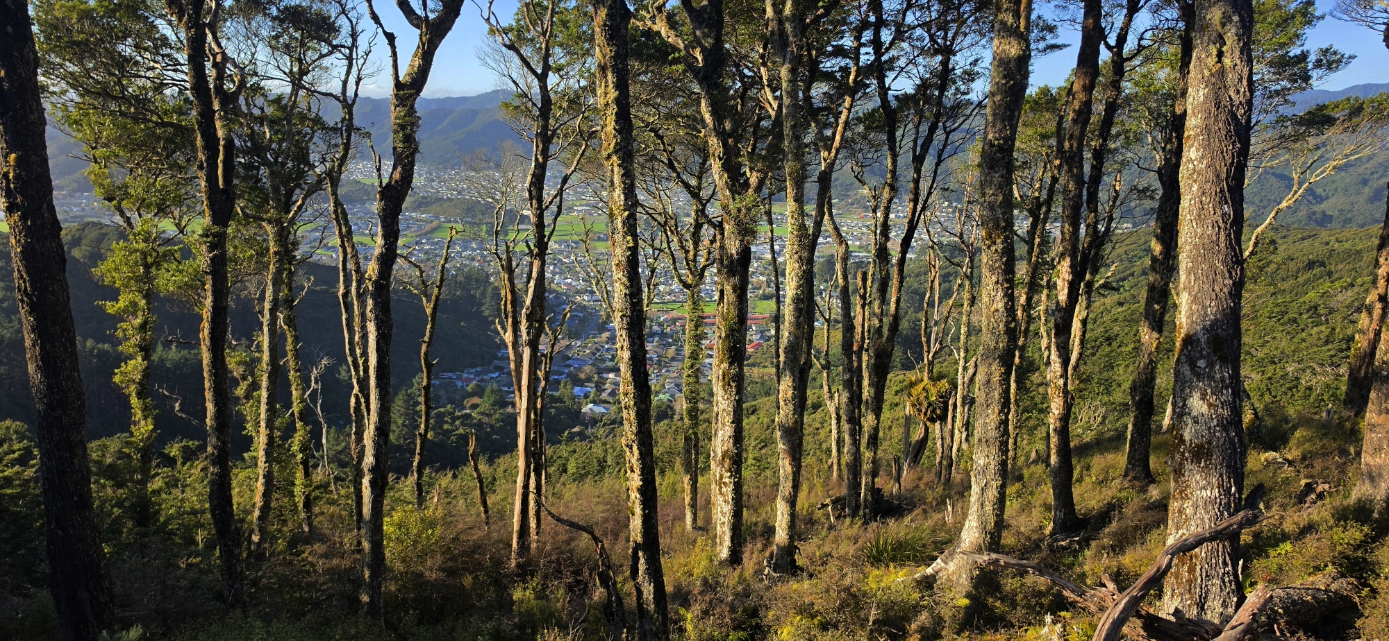
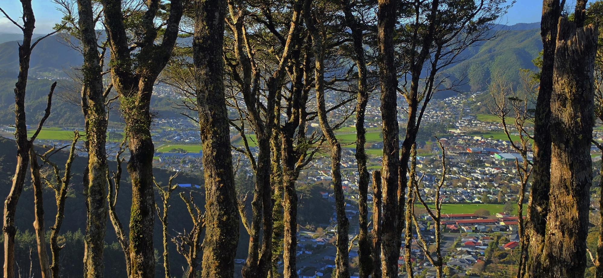
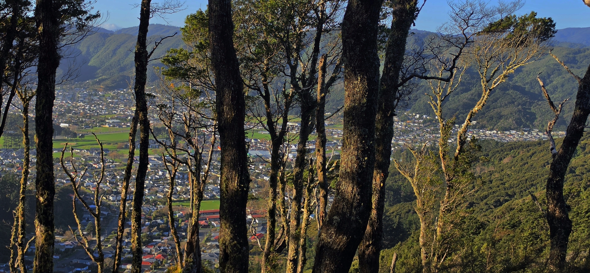
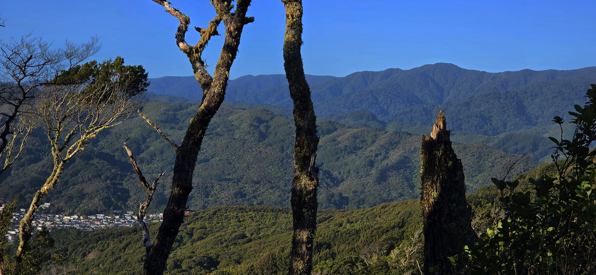
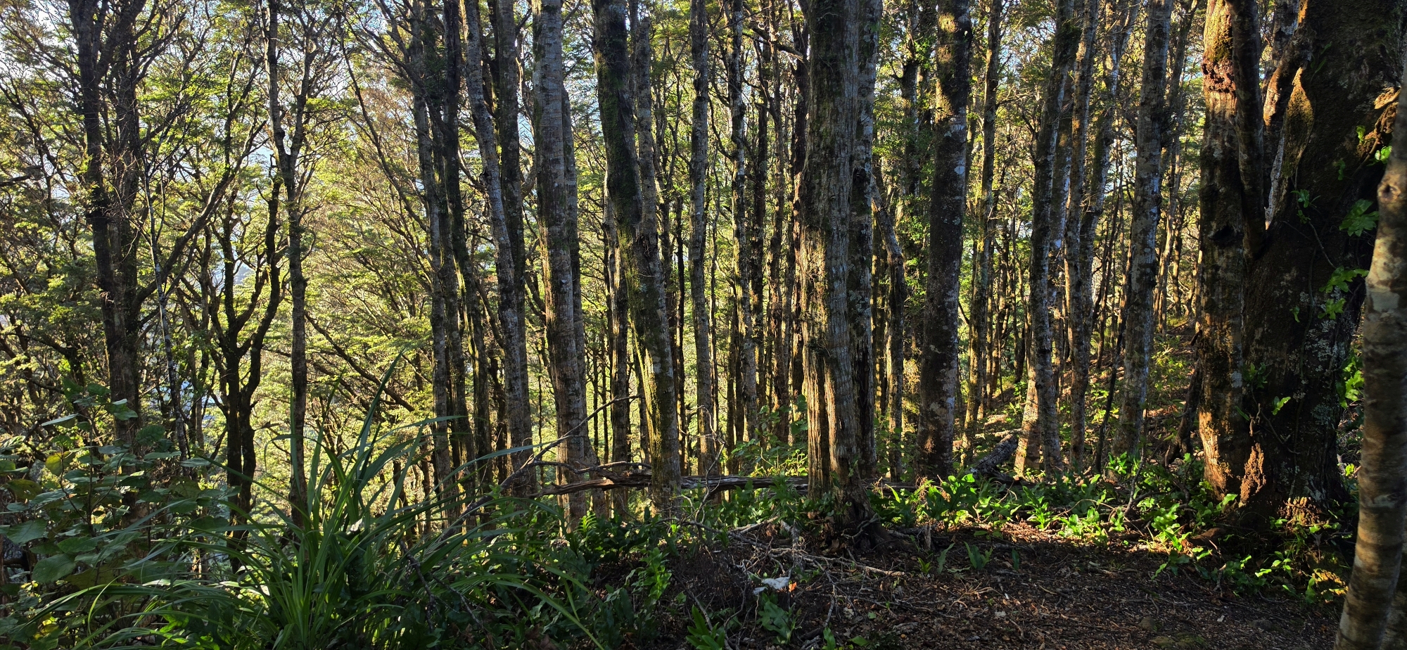
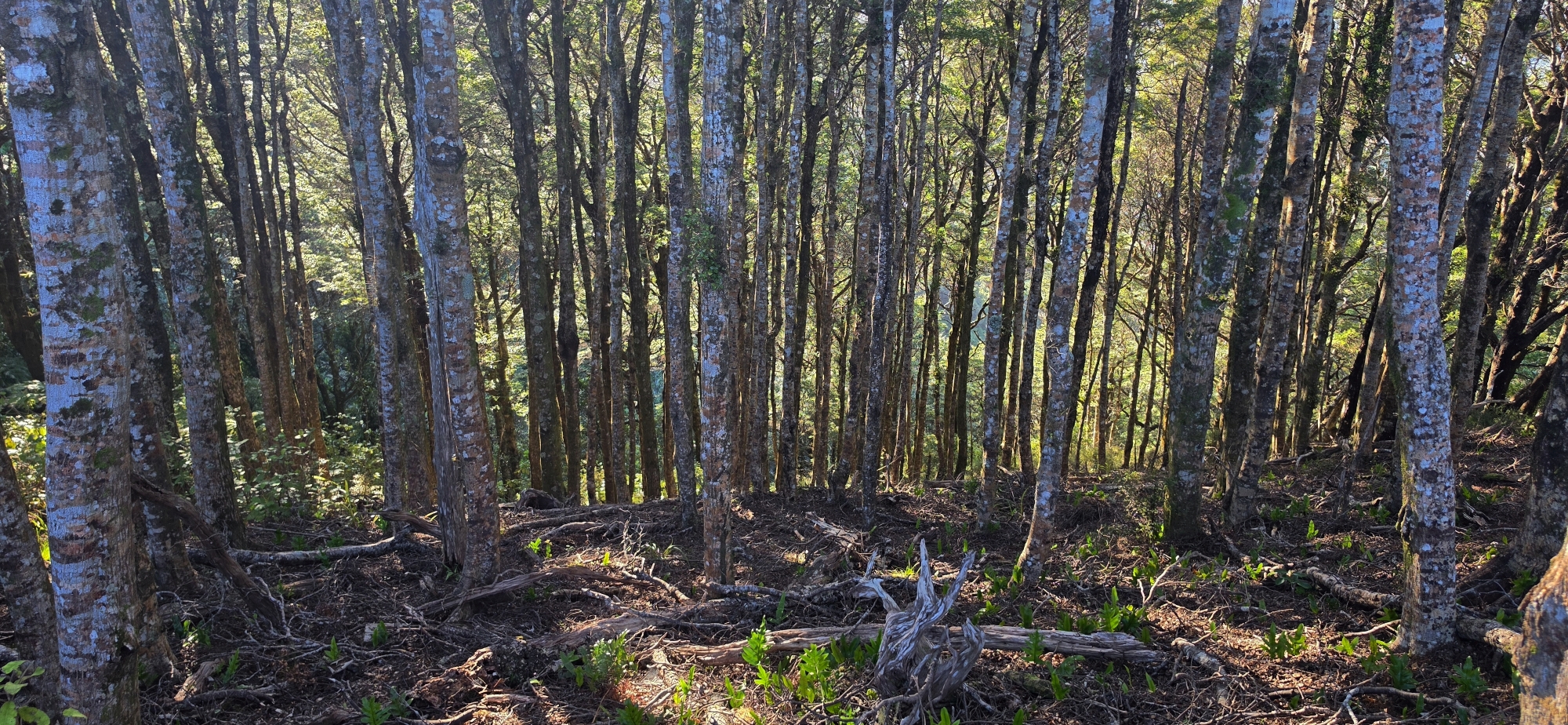
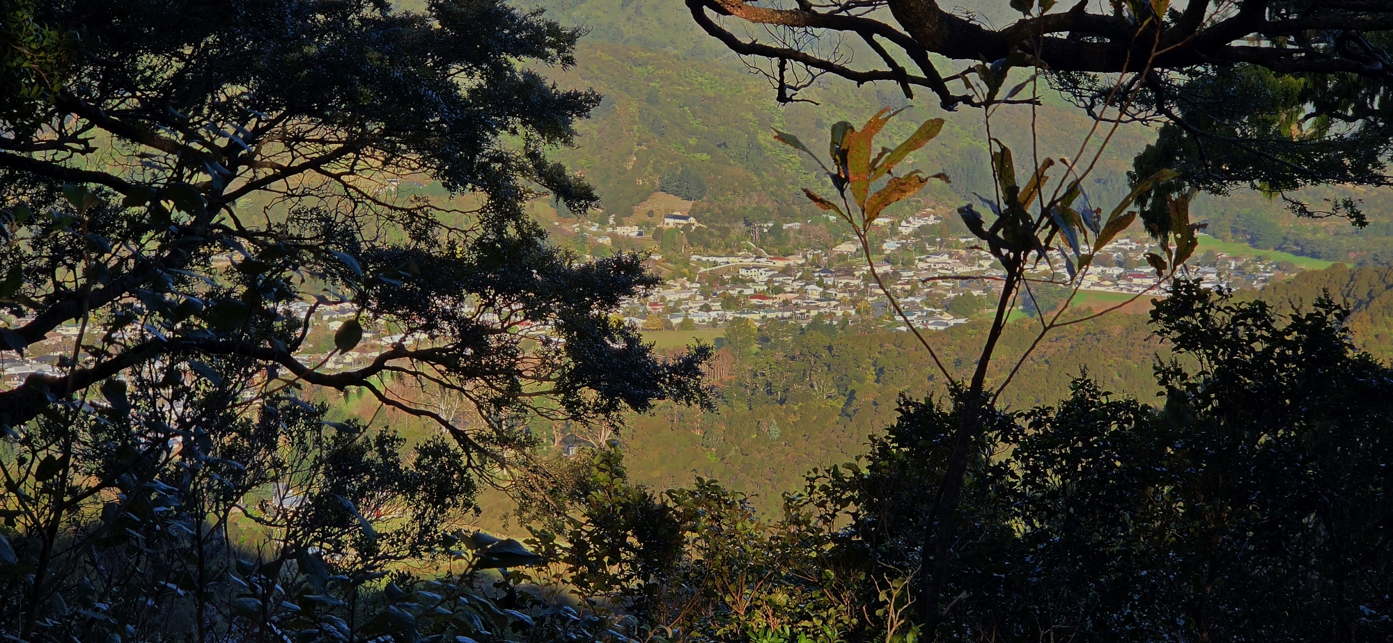
The Rātā Ridge Track crosses part of the Northern Forest in East Harbour Regional Park, following a forested ridge between Wainuiomata and the summit area of Mount Lowry. The route passes through regenerating native bush and mature beech forest within a wider landscape known for its large northern rātā trees. Although much of the track is enclosed by forest, there are occasional glimpses across the surrounding hills, while a nearby lookout at the top provides partial views towards Wellington Harbour.
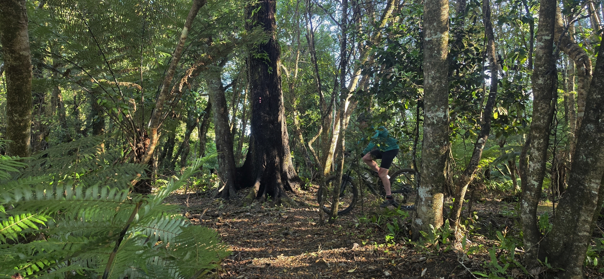
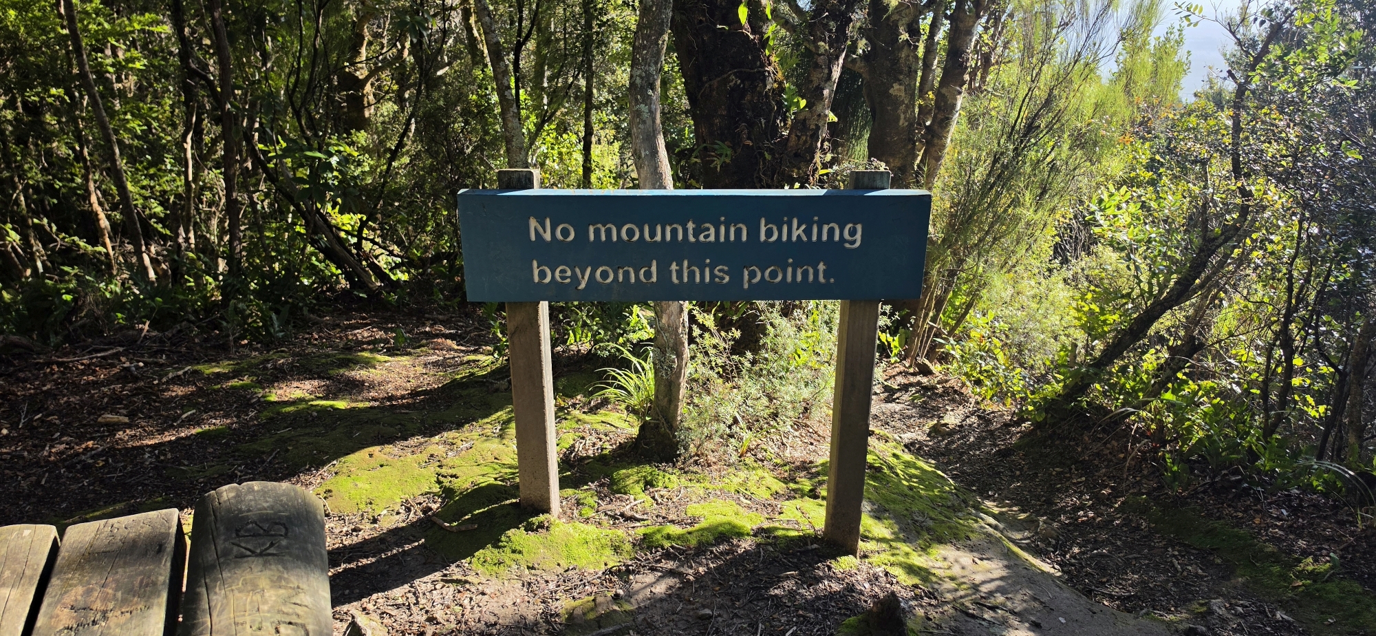
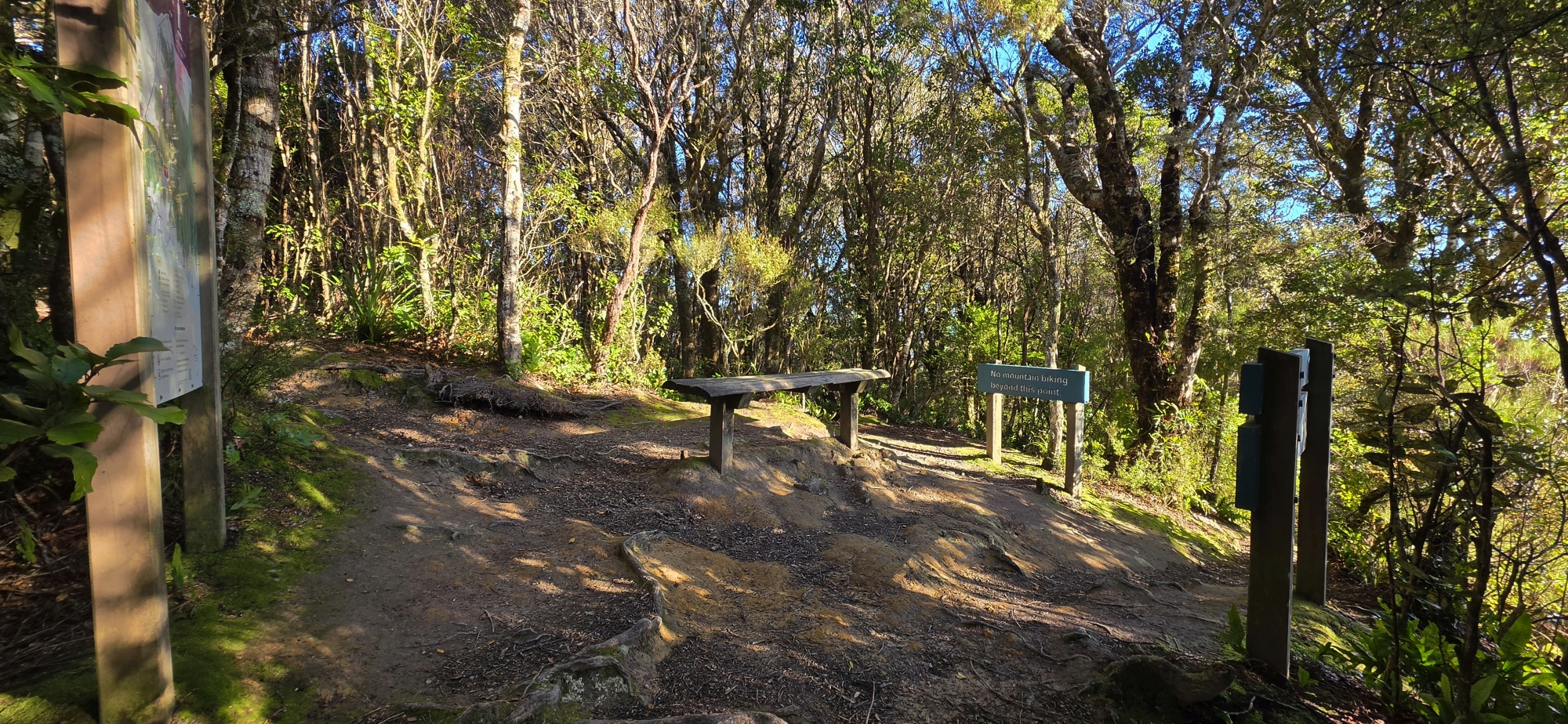
The track is approximately 3.2 kilometres long and takes about 70 minutes to walk one way. It is classified as an intermediate walking track, although the steep lower section, uneven surface and exposed clay can make it considerably more difficult in wet conditions. It is also shared with mountain bikers and is graded expert, or Grade 5, for cycling.
Start and end points
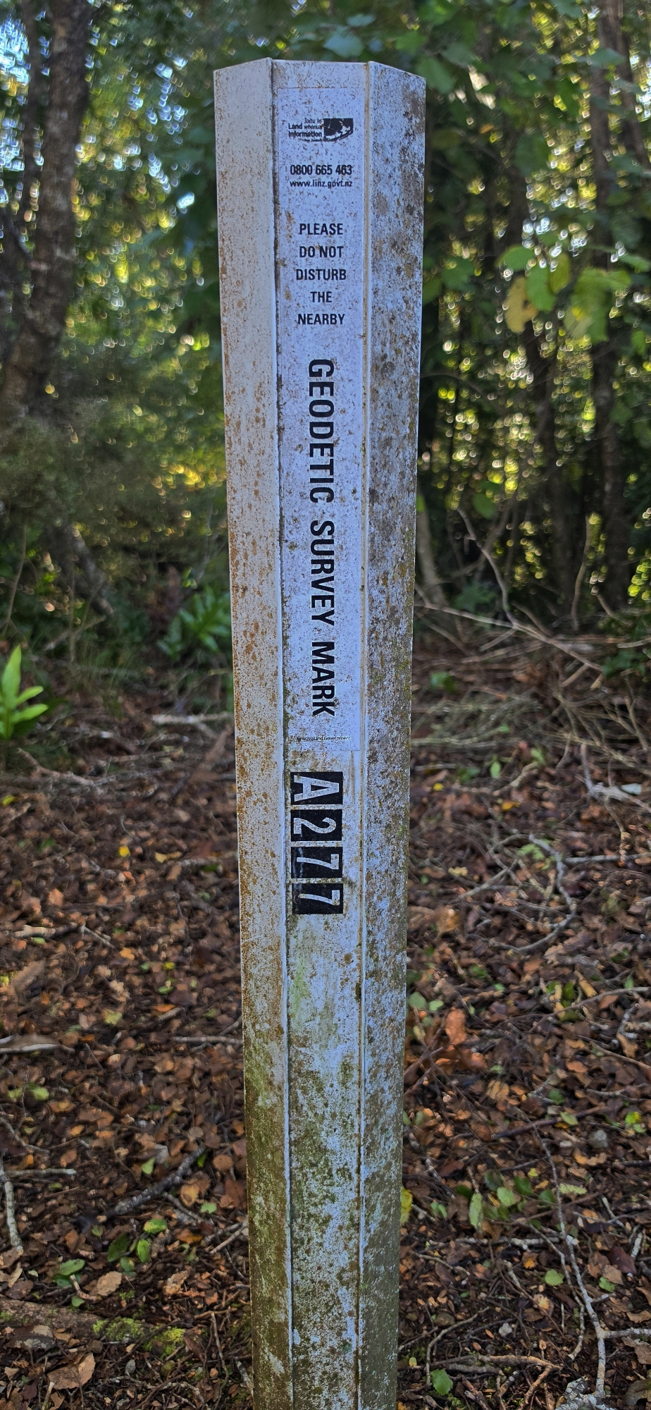
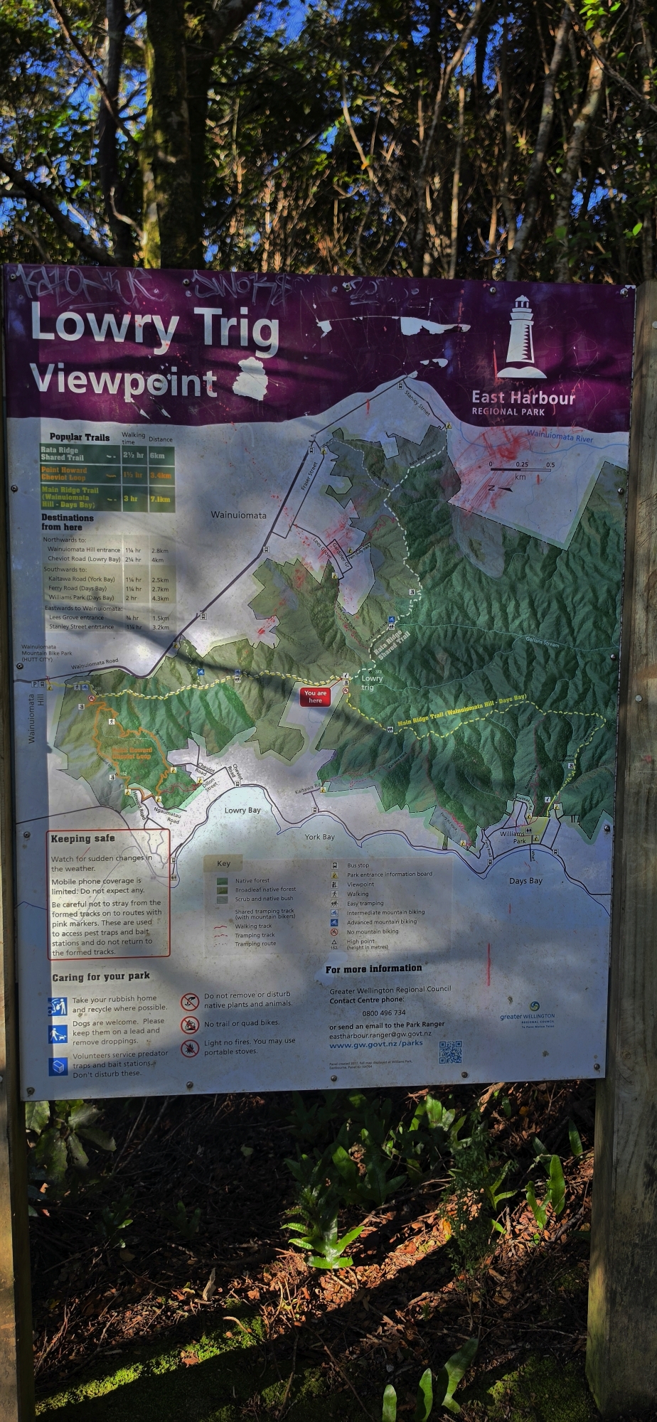
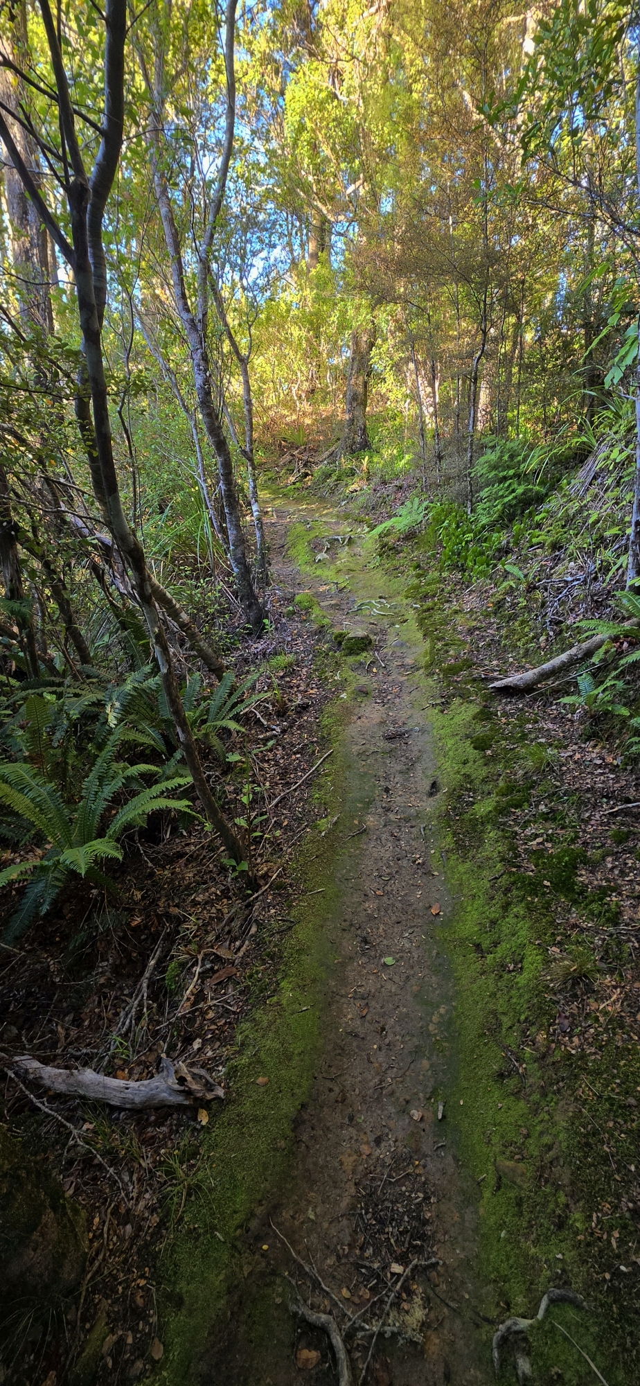
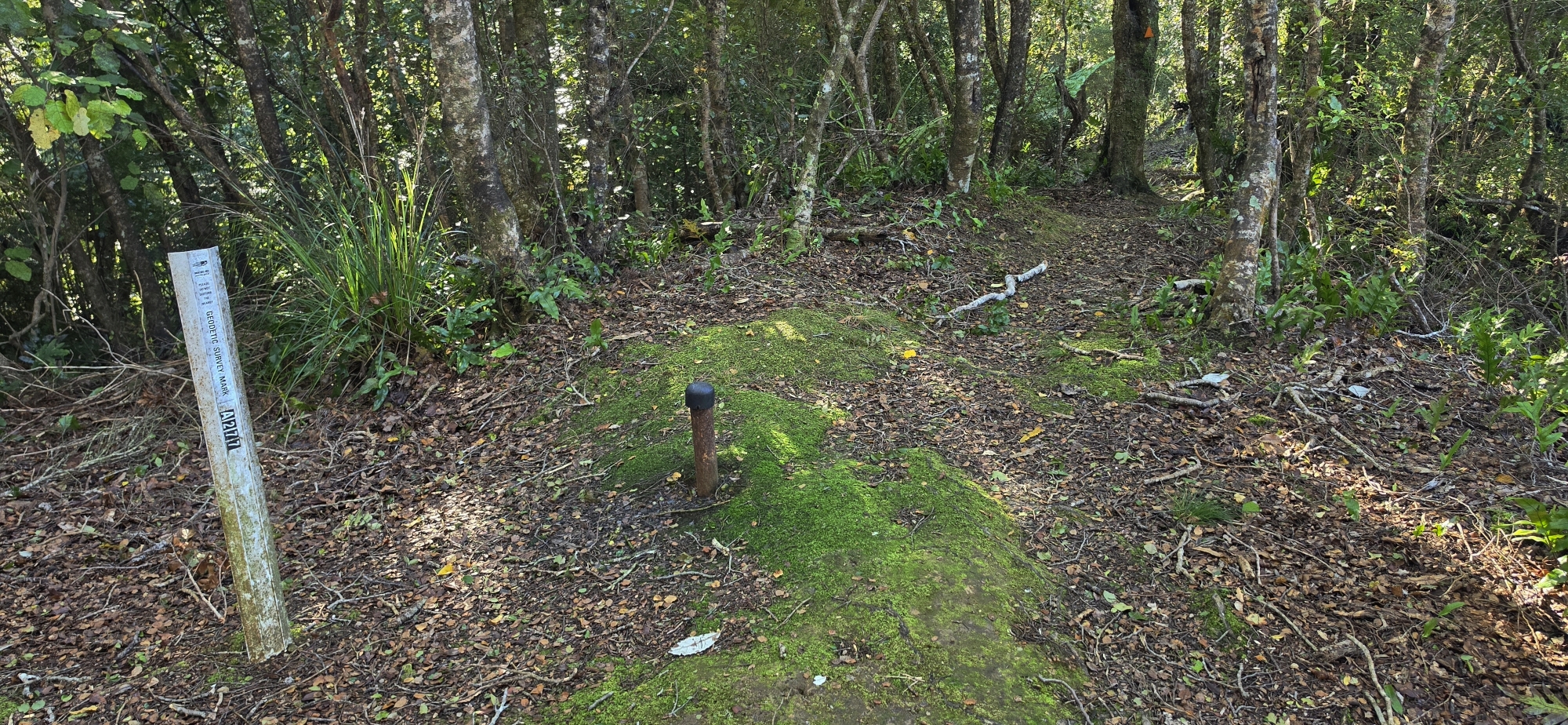
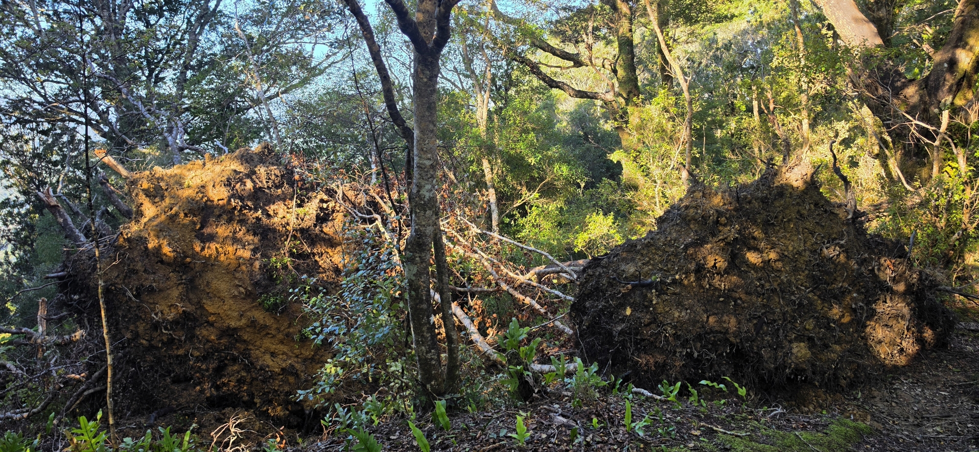
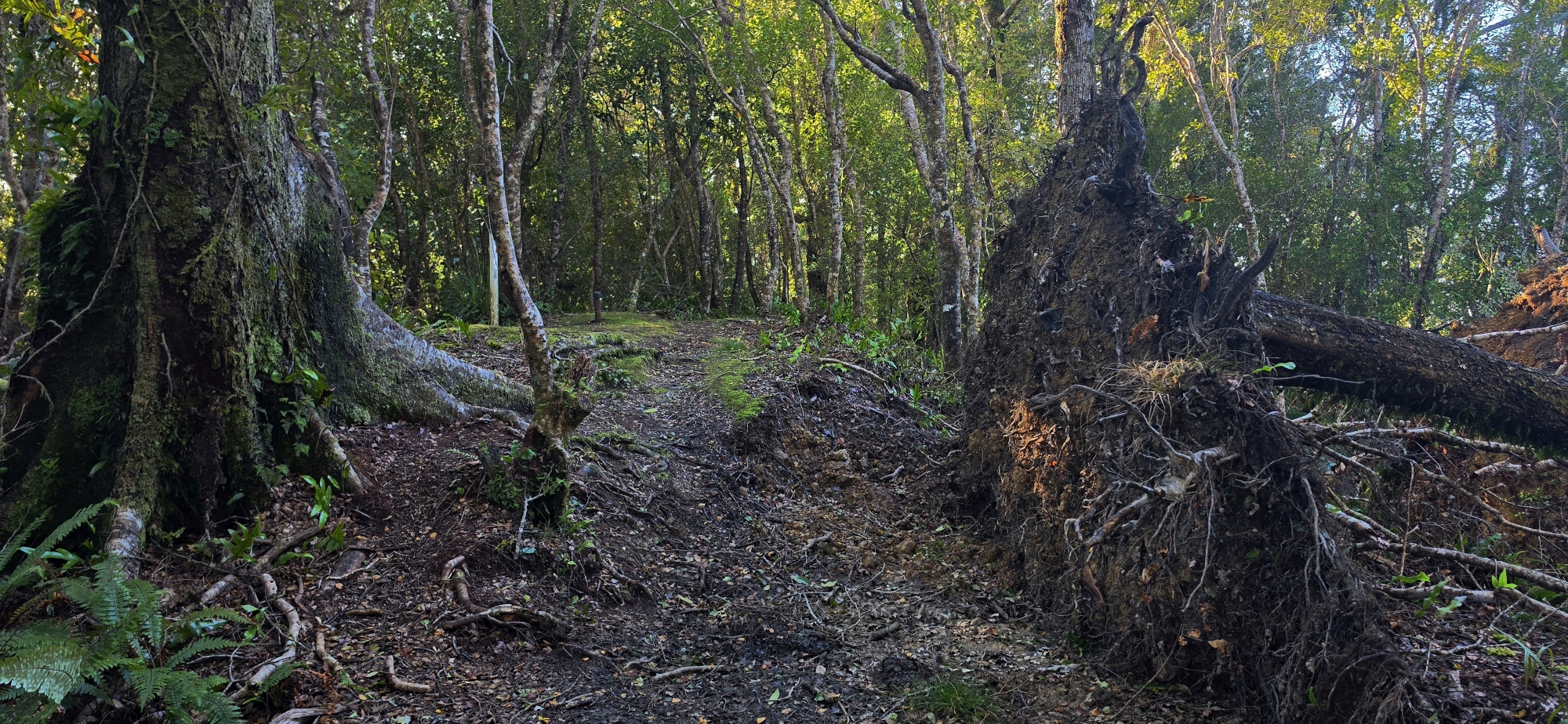
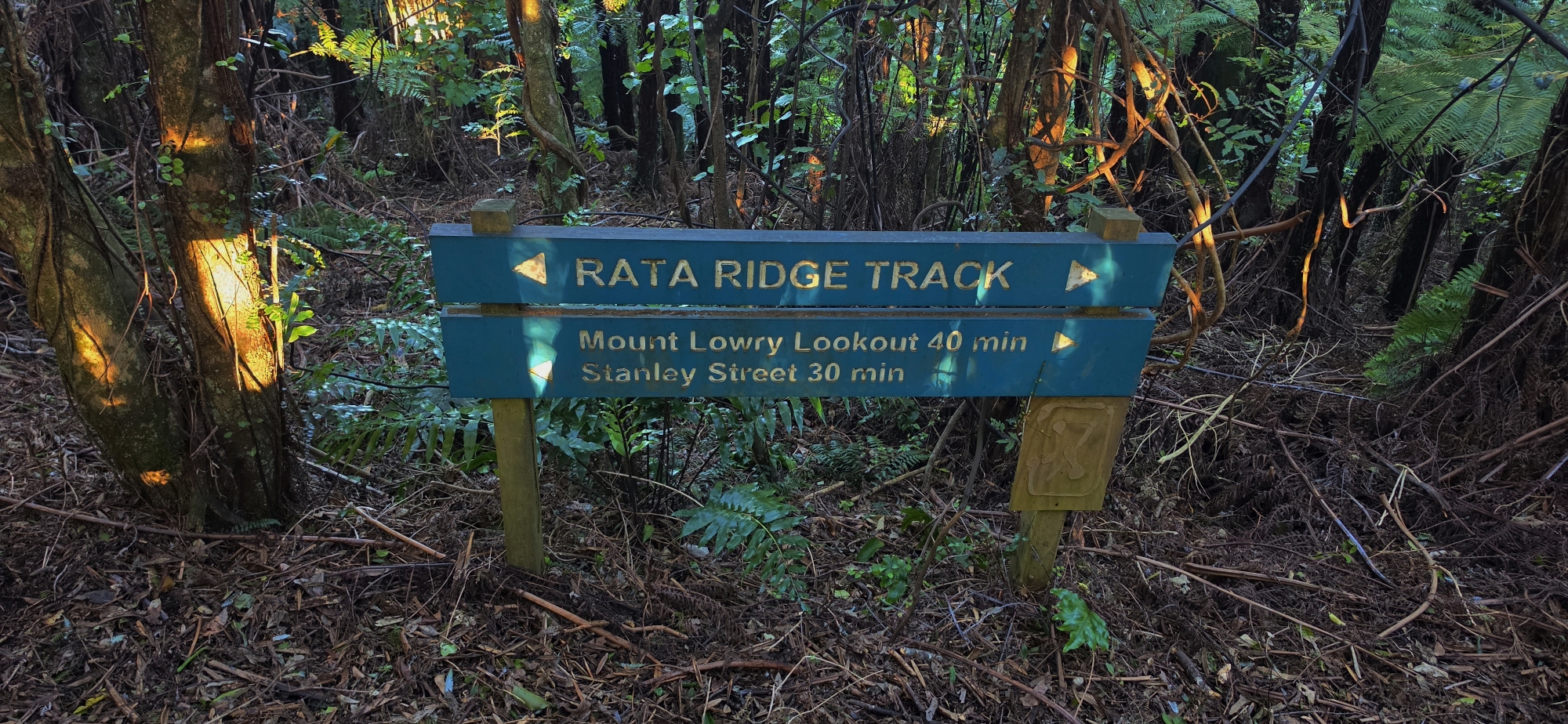
The Rātā Ridge Track proper runs between the East Harbour Regional Park entrance at the end of Stanley Street in Wainuiomata and Lowry Trig, where it meets the Main Ridge Track. From Stanley Street, the track climbs steeply through a series of zigzags before reaching an old ridgeline firebreak. The exposed clay surface on this lower section can become extremely slippery after rain. The route then enters mature native forest and continues steadily uphill towards Lowry Trig, approximately 373 metres above sea level and the highest point in the Northern Forest. The track can be walked in either direction, although Lowry Trig is not a road entrance, so anyone beginning there must first reach it by another track. A popular way to connect with the Lowry Trig end of the track is to combine it with the nearby entrance to the Main Ridge Track on the Wainuiomata Hill summit.
Tracks connecting with Rātā Ridge
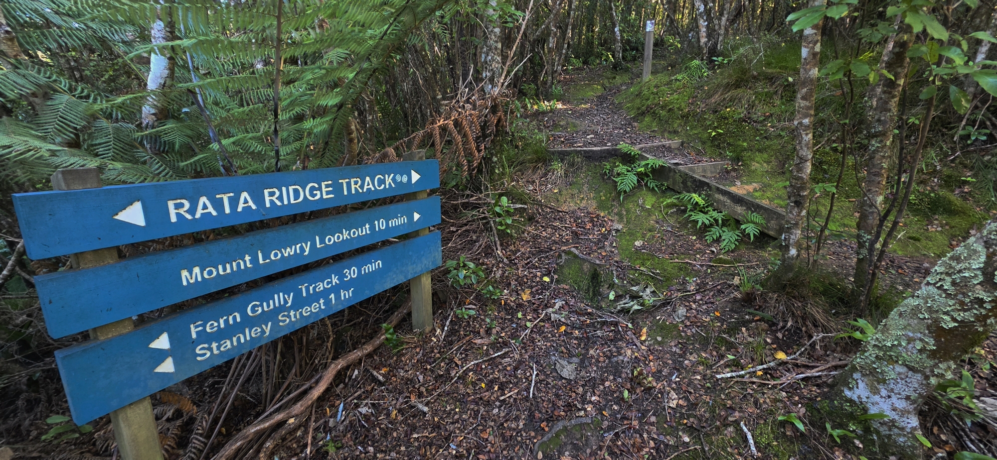
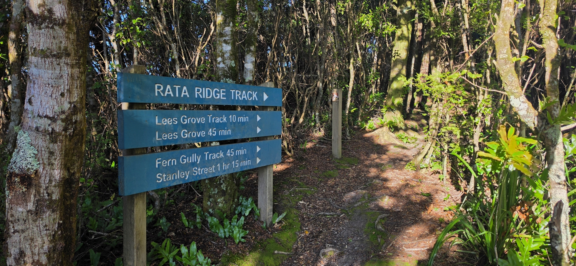
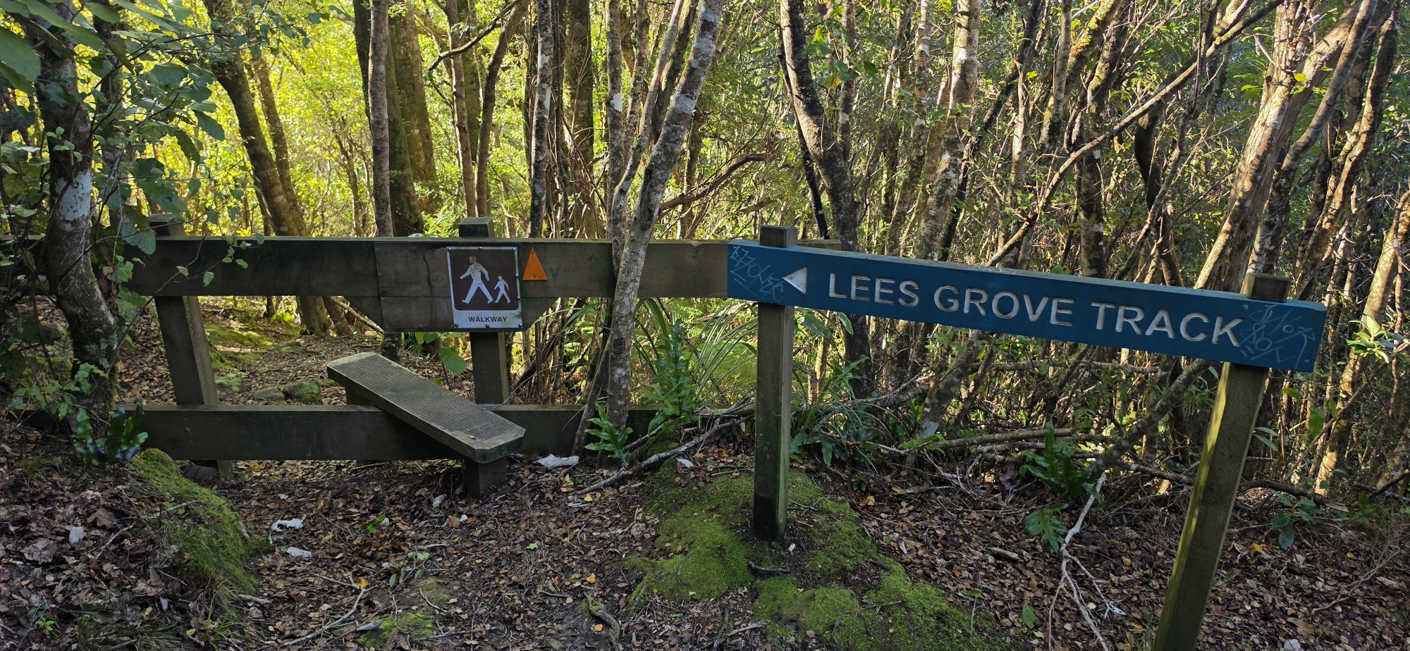
Several tracks connect with Rātā Ridge, allowing it to form part of longer walks and circuits. Near its lower end, the Zigzag Track provides another route into or out of the Wainuiomata side of the park. Farther uphill, Fern Gully Track descends towards the residential streets below, while Lees Grove Track offers another sheltered route between Wainuiomata and the ridge. Together, these tracks can be combined with part of Rātā Ridge to form the 4.8-kilometre Trig Loop.
Another entrance track is the Stanley Street Track which involves the more demanding ascent. The initial firebreak is steep and relatively exposed, but has a coating of gravel for grip. The route becomes more sheltered after entering the forest. From there, the climb is steadier as it connects with the Rata Ridge Track and Zigzag Track intersection. This forms an interesting loop walk from Stanley Street to Fraser Avenue near the BP Service Station.
At its upper end, Rātā Ridge meets the Main Ridge Track at Lowry Trig. From there, the Main Ridge Track continues north to the Wainuiomata Hill summit car park, beside the Pukeatua pedestrian and cycle bridge, or south through the forest towards Days Bay and Hawtrey Trig. A popular six-kilometre through-route begins at the hill summit car park, follows the Main Ridge Track south to Lowry Trig, and then descends the Rātā Ridge Track to Stanley Street, taking approximately two hours.
Walking the track
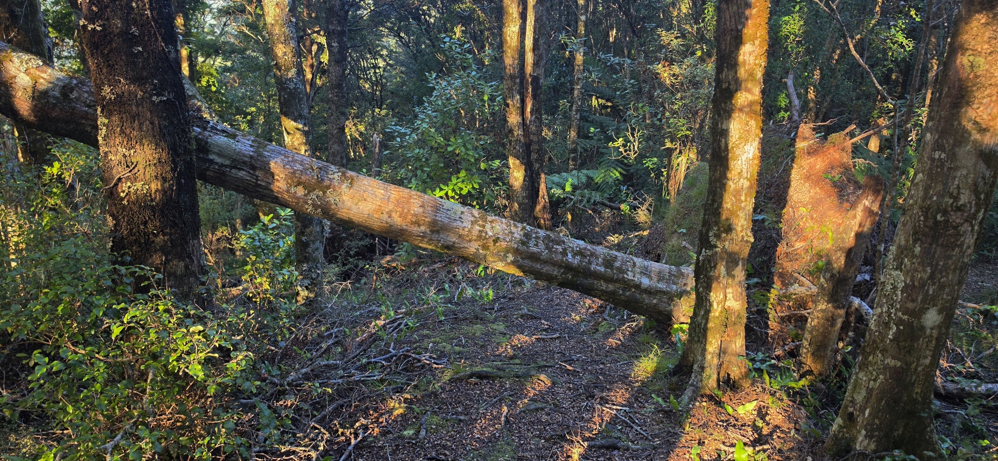
Rātā Ridge is best suited to walkers comfortable with sustained climbing and ordinary tramping-track conditions. There are no facilities within the Northern Forest, weather conditions can change quickly, and mobile-phone reception may be limited. Dogs are permitted but must remain on a lead. Because the route is shared with mountain bikes, walkers should also remain alert on narrow sections and allow riders enough room to pass safely.




DISCUSSION