The Oxbow Loop Walk is a short, easy walking track near Baring Head / Ōrua-pouanui at the southern end of Wainuiomata. Located within East Harbour Regional Park, the loop follows the lower Wainuiomata River valley and gives visitors a close look at two old river bends known as oxbows. Greater Wellington lists the walk as a 2.2 kilometre loop taking about 35 minutes, making it one of the more accessible walks in the Baring Head area.
The walk begins near Lighthouse Bridge, reached from the Coast Road car park south of Wainuiomata. After crossing the bridge on foot, the track follows the open river valley below Para Hill and the Baring Head lighthouse landscape. Unlike the steeper routes that climb towards the lighthouse or the surrounding ridges, the Oxbow Loop stays mostly flat, making it suitable for a gentle walk, family outing, or relaxed introduction to the area.
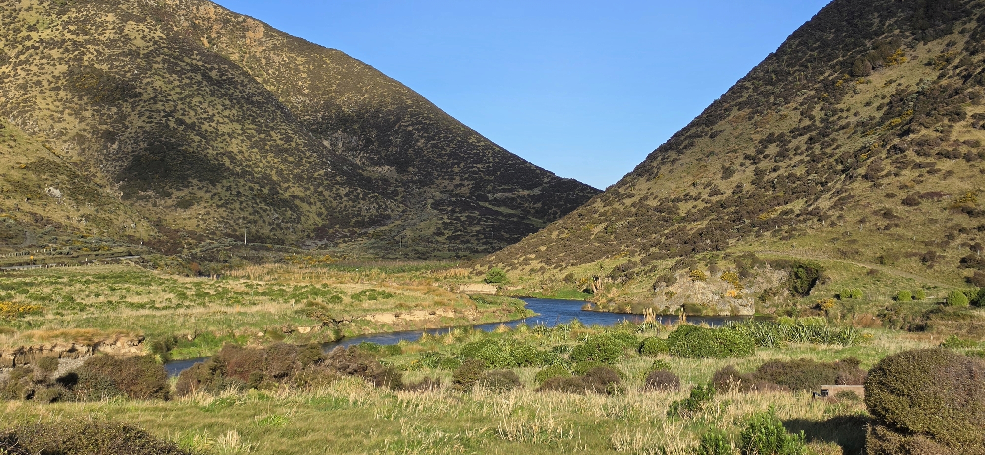
The track takes its name from two former meanders of the Wainuiomata River. An oxbow is created when a river changes course, leaving behind a curved section of its old channel. Over time, the main flow moves elsewhere, while the abandoned bend remains visible as a low, horseshoe-shaped depression in the landscape. At Baring Head, these old bends are reminders that the Wainuiomata River has not always followed its present path.
Although the river no longer flows through the oxbows as an open channel, the old course can still influence the ground and vegetation. The oxbow areas often stand out from the surrounding landscape, especially when seasonal colour changes reveal the shape of the former river bends. This makes the walk more than just a short loop; it is also a chance to read the history of the river written across the valley floor.
The surrounding landscape adds to the appeal of the walk. To one side is the Wainuiomata River, moving towards the south coast before reaching Cook Strait. Above the valley rise the open slopes of Para Hill and the wider Baring Head area, where Māori history, wartime observation sites, lighthouse buildings, and coastal geology all overlap. The Oxbow Loop sits quietly within this larger historic and natural setting.
For visitors who want a longer walk, the Oxbow Loop can be combined with other nearby routes, including the River to Sea Walk, the road towards the lighthouse, or the wider Baring Head / Ōrua-pouanui loop system. For those wanting something shorter, it is an ideal standalone walk, offering open views, river scenery, and a clear example of how the Wainuiomata River has shaped the land over time.


DISCUSSION