
The Secret Tracks of Wainuiomata: Historic Trails Beyond the Map
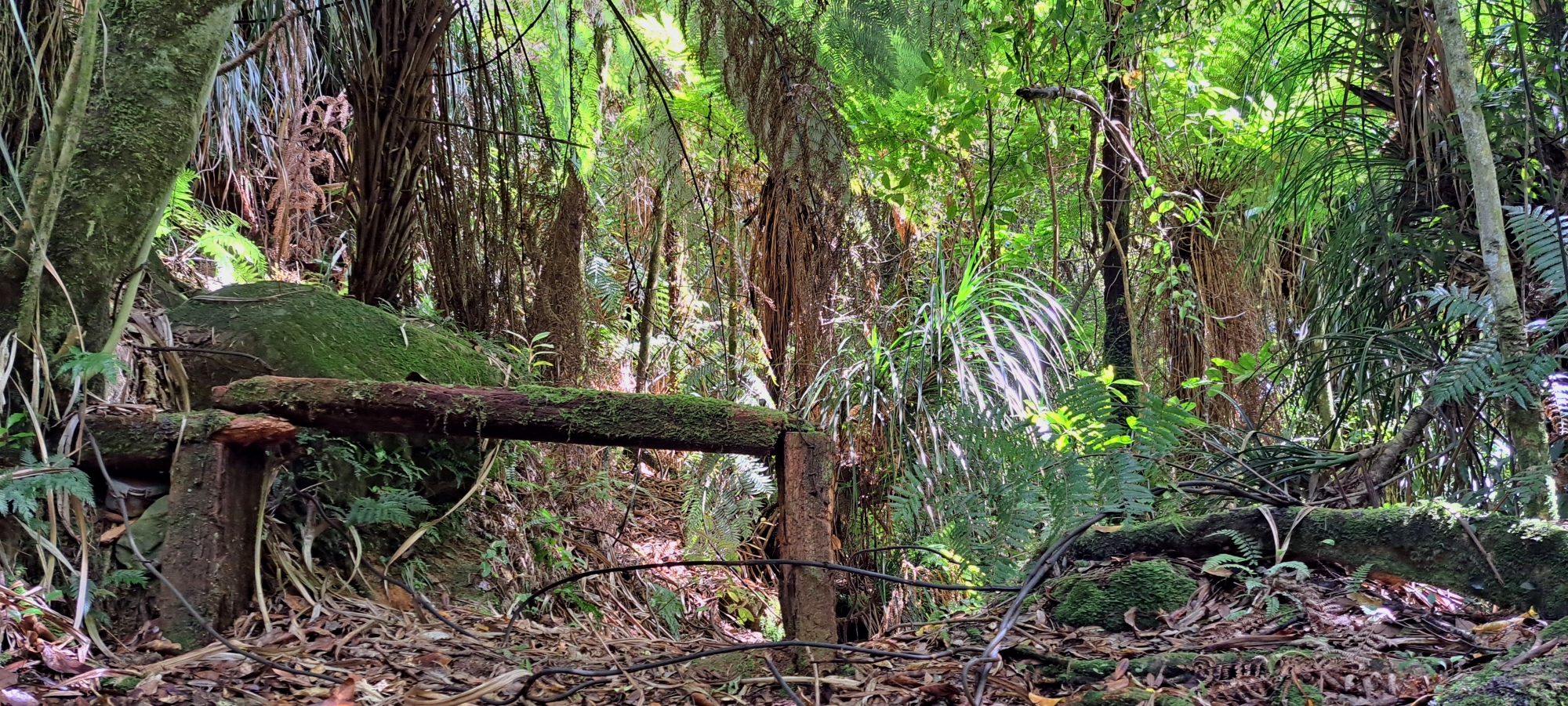
Wainuiomata is renowned for its numerous bush walks, but there are also several unofficial trails that, though challenging, can still be explored. These paths include historic routes that are now overgrown or poorly maintained, and some older versions of existing tracks that were relocated. There are also tracks that once existed, but with no trace left today, they leave stories of historical importance.
Some of these old and overgrown tracks date back to the forestry days of the 1850s to 1860s when Wainuiomata was logged. While some of these tracks continued as firebreaks, others were completely abandoned and forgotten. Further, newer and more efficient tracks have made several older ones redundant while other tracks have been redirected due to their original locations within or near the old water catchment zone perimeter.
Decades ago, the Water Board restricted access to the water catchment and surrounding area to prevent potential water contamination, resulting in some tracks being rerouted. In many cases, the older tracks make for useful shortcuts to official tracks. They remain navigable because they are either still walked, which helps to maintain them, or because they are used as bait lines and receive minimal upkeep.
Walking these tracks can be challenging, and the lack of signage means it can be easy to lose your way. Only experienced trampers should attempt them. In some places, sections of track have become completely overgrown, requiring bush bashing to continue. This can make the route difficult to follow and increases the risk of losing the track altogether.
It is always wise to let someone know your plans before setting out, including your intended route and expected return time. Fortunately, mobile phone reception is available on parts of these tracks, particularly along ridges and higher slopes. Where coverage is available, it provides an opportunity to update someone on your location, advise them of any change in route, or simply let them know that everything is going to plan.
These walks are labeled unofficial, meaning they are not maintained by the Greater Wellington Regional Council (GWRC). Many of these tracks do not appear on maps, and if they do, they are often unnamed. While they are known to some locals, they often refer to them by different names.
Coast Road and Scholes Routes
Bivy Track
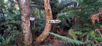 Bivy Track provides a link between Scholes Creek Track at Camp Wainui along the Coast Road to the Crowther Ridge Track above or vice versa. At the bottom of the track is a bivy that can be used as emergency accommodation.
Bruce’s Track
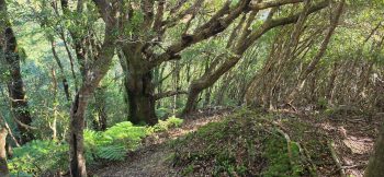 Bruce’s Track is an unofficial bush route on the Camp Wainui side of the valley, climbing from the lower camp area toward the higher ridges above Wainuiomata. Rather than being a formal public walking track, it appears to have been used as a practical access route, possibly for pest control, camp use, or links into the wider network of rough tracks around Mount Crowther and Mahoe.
Scholes Creek Track
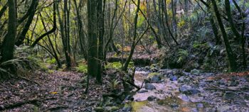 The Scholes Creek Track starts at Camp Wainui on Coast Road and leads to a 5-meter waterfall. Close to the start, there’s a connection to Bivy Track, which ascends to McKerrow Ridge Track.
Wainuiomata River Track
This early track began in what is now the Homedale/Village area of Wainuiomata and followed the western side of the Wainuiomata River. As a result, several early homes, including Willowbank (Burdans), Hermitage (Graces), and Richard Prouse’s residence, were established on this side of the valley during the 1850s. At the time, it was expected that the main road would eventually follow the same route along the western side of the river. However, from the 1860s onwards, the road was instead developed along the eastern side of the Wainuiomata River. It is unclear whether any remnants of the original track still survive today. If they do, they are likely to lie on private land, much of which is now pasture.
Hine Road and Sunny Grove Routes
Hine Road Track
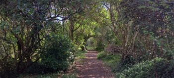 The Hine Road Track in Wainuiomata is a short, flat trail that follows the Wainuiomata River behind the houses on Hine Road. It connects Richard Prouse Park to the Hine Road Recreation Area, providing a convenient link between these reserves.
Mount Crowther Track
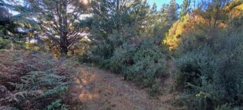 The Mount Crowther Track meanders through the Harry Todd Recreation Reserve in Wainuiomata. Serving as a firebreak, it features a wide path with sections that are steep, making parts of the walk relatively easy while the steeper areas present a challenge. The track also links to other, less maintained tracks in the surrounding bush.
Spear Cut Track
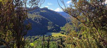 Spear Cut Track was a former firebreak and could even have been an older forestry track when the hill was first logged around the mid 1800s. The track starts at the top of Willis Grove and goes to Mt Crowther Trig.
Sunny Grove Track
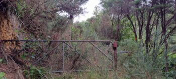 Sunny Grove Track was originally the starting point of the Whakanui Track. The current starting point for the Whakanui Track is now located above Sunny Grove, but an older starting point remains conveniently accessible near the Hine Road Recreation Area, where a car park is available. This older track links eventually links to the current track.
Moores Valley & Crowther Routes
ECNZ Power Pylon Road / Track
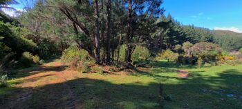 The ECNZ Power Pylon Road, built in the 1950s–60s by the Electricity Corporation of New Zealand, provides access to power pylons along the ridge between the Hutt Valley and Wainuiomata. It runs from Seaview, over Wainuiomata Hill via Pukeatua Bridge, and through Moores Valley into Whitemans Valley.
Gawler Reservoir Track
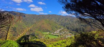 The Gawler Reservoir Track continues beyond the reservoir and climbs to the ridgeline, where impressive views open out across Sunny Grove and the surrounding area. This elevated section offers a rewarding perspective on where suburbia meets the surrounding bush-covered hills.
Mill to Moness Track
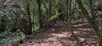 This track is not worthwhile exploring today, as only a very short section appears to remain. Its history, however, is intriguing because of its age and the route it once followed. The track connected the Moness homestead to the Sinclair family’s sawmill. As the Sinclairs were among the early loggers in the area, the surviving section provides an interesting link to Wainuiomata’s early settlement and timber-milling history.
Reservoir Valley and Waterworks Routes
Geological Survey Tracks
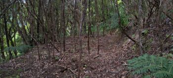 Reservoir Valley has a network of tracks created by surveyors and engineers who ventured deep into its hillsides to test the land for a potential dam site. Decades later, the remnants of their work remain faintly visible beneath the regenerating bush.
Maintenance Track
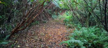 Maintenance Track, once part of Maintenance Road, runs parallel to Reservoir Road. Though it is overgrown today, adventurous types can still navigate through the dense vegetation along this section.
Old Nikau Creek Track
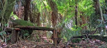
The entrance to the latter part of the Old Nikau Creek Track lies hidden behind the sign that marks the end of the current Nikau Creek Track. The current track covers much of the initial section of the old track. The track’s origin is unclear, though it probably began as a forestry track. An old wooden bench seat can be found near the track’s end and the seat looks quite old.
Water Race Track
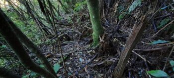 Pipe Track or Water Race Track was a narrow, largely level path cut into the steep slope of Reservoir Valley, providing access to the covered water race that conveyed water from the old reservoir to Coleman’s Tunnel. It was used throughout both the construction and ongoing maintenance of the race, enabling workers to inspect and service the water supply infrastructure along the hillside.
Scour Pipe Track
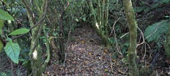 The Scour Pipe Track was a short access track linking the Sinclair Tramway, later Reservoir Road, with a scour pipe on the Orongorongo pipeline. The track may, however, pre-date the pipeline itself and could originally have provided access to infrastructure associated with the earlier Wainuiomata Water Race.
Sinclair Track
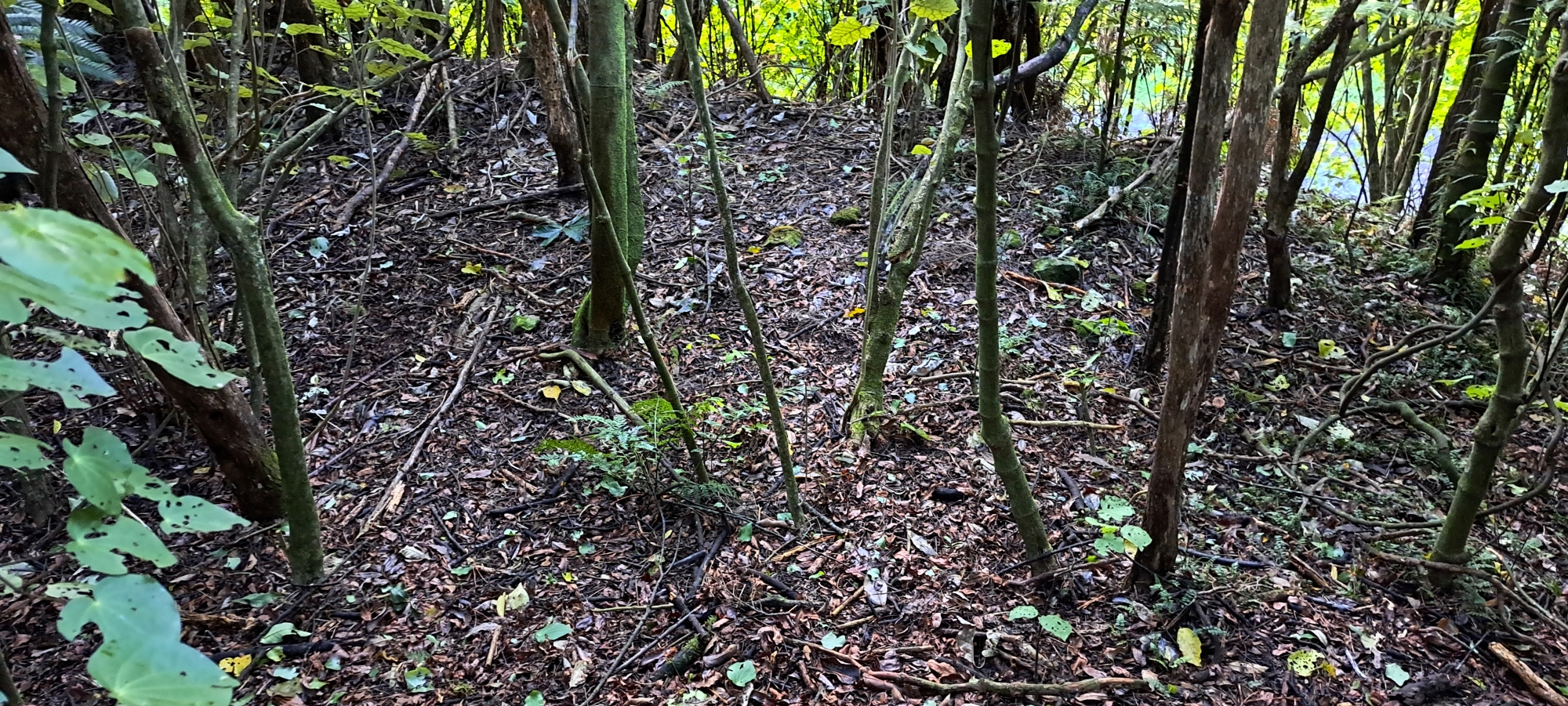 Sinclair Track is a historic forestry route dating back to the 1870s. While it remains mostly inaccessible today due to being overtaken by the bush. The track can still be followed in sections with the aid of cuttings in the banks, which suggest it could have served as a main trunk line for a wooden railway used to transport logs to a nearby mill.
Solomon Track
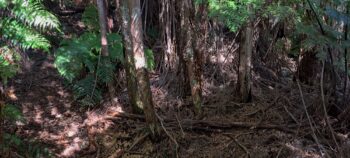 Solomon Track is a long-disused and mostly forgotten route in Wainuiomata, once running along the ridgeline between Morton Dam and the original Whakanui Track near the top of Nīkau Creek. Dating back to the 1880s, it was later closed when the area became part of the Wainuiomata water collection area.
Ultimate Pool Track
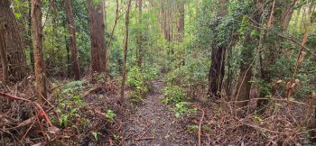 Ultimate Pool Track, not to be confused with the Reservoir Road entrance to Ultimate Pool, is a short walking track that branches south from the Gums Loop Walk. It leads to the deeper side of the river, where a high bank provides a popular spot for jumping into the water.
Whakanui and McKerrow Routes
East Whakanui Track
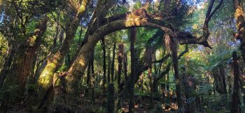 East Whakanui Track is an unofficial route above the back of Nikau Creek Valley, connecting with the wider Whakanui Track network toward the Ōrongorongo Valley. It is a rough, lesser-known route rather than a formal walking track, and is mainly used by conservation and wildlife staff, experienced trampers, and trail runners.
Old Whakanui Track
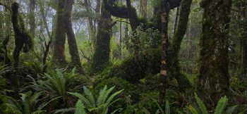 The former Whakanui Track originally began as a Māori trail. Today, it partially coincides with the Nikau Creek Track but then diverges, climbing up the eastern ridge behind Nikau Creek Valley. It eventually joins the Whakanui Track at the top of McKerrow Ridge where you can head down to the Orongorongo Valley.
McKerrow Link Track
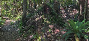
The McKerrow Link Track is an unofficial baitline shortcut between the Whakanui and McKerrow tracks. It can save time when heading west or toward the Kittyhawk crash site, but is rough, unmaintained, and marked mainly by pink ribbons.
McKerrow Ridge Track
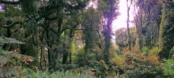 Mckerrow Ridge Track (Old McKerrow Track) is an earlier segment of the McKerrow Track, now superseded. Although it’s no longer an official track, the old section still receives some maintenance and can still be walked.




DISCUSSION