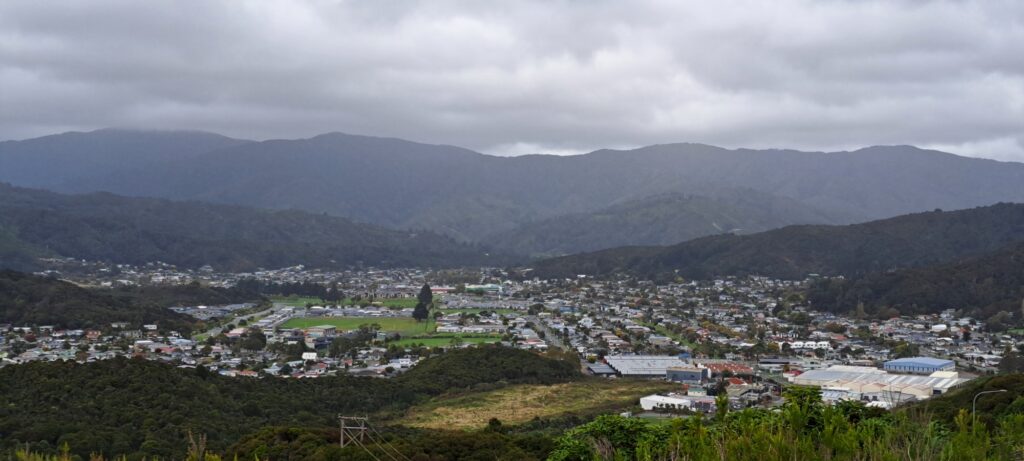
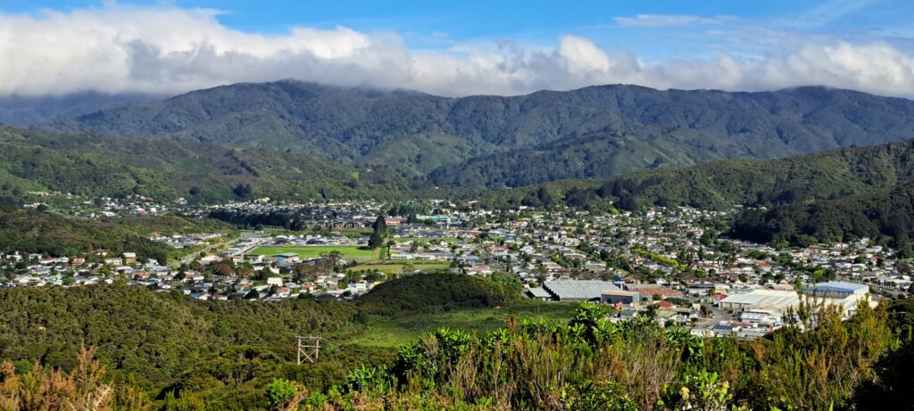
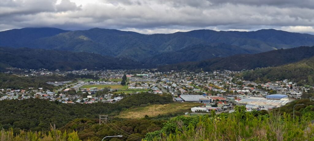
Wainuiomata weather is influenced by mountains, hills, and a coastline. Further, the valley floor of Wainuiomata sits at an elevation of 86 meters above sea level. The highest point of the Wainuiomata Hill Road reaches 195 meters above sea level and the Wainuiomata River flows through the southern part of the valley, eventually draining into the sea at Baring Head to the south. Thus topography has a huge influence on the weather and climate in Wainuiomata.
Consequently, Wainuiomata has an annual temperature of 14.25ºC (57.65ºF), which exceeds the national averages of New Zealand by 1.18%. Wainuiomata typically receives around 74.55 millimeters (2.94 inches) of precipitation annually, with 133.55 rainy days recorded per year, constituting 36.59% of the time.
MetService 3 Day Forecast
Below is the latest weather forecast from MetService.
Weather Station for Wainuiomata
Detailed report with statistics, (updated every 10 minutes).


COMMENTS