Explore our collection of aerial photographs capturing Wainuiomata’s evolution, reaching back to 1941.
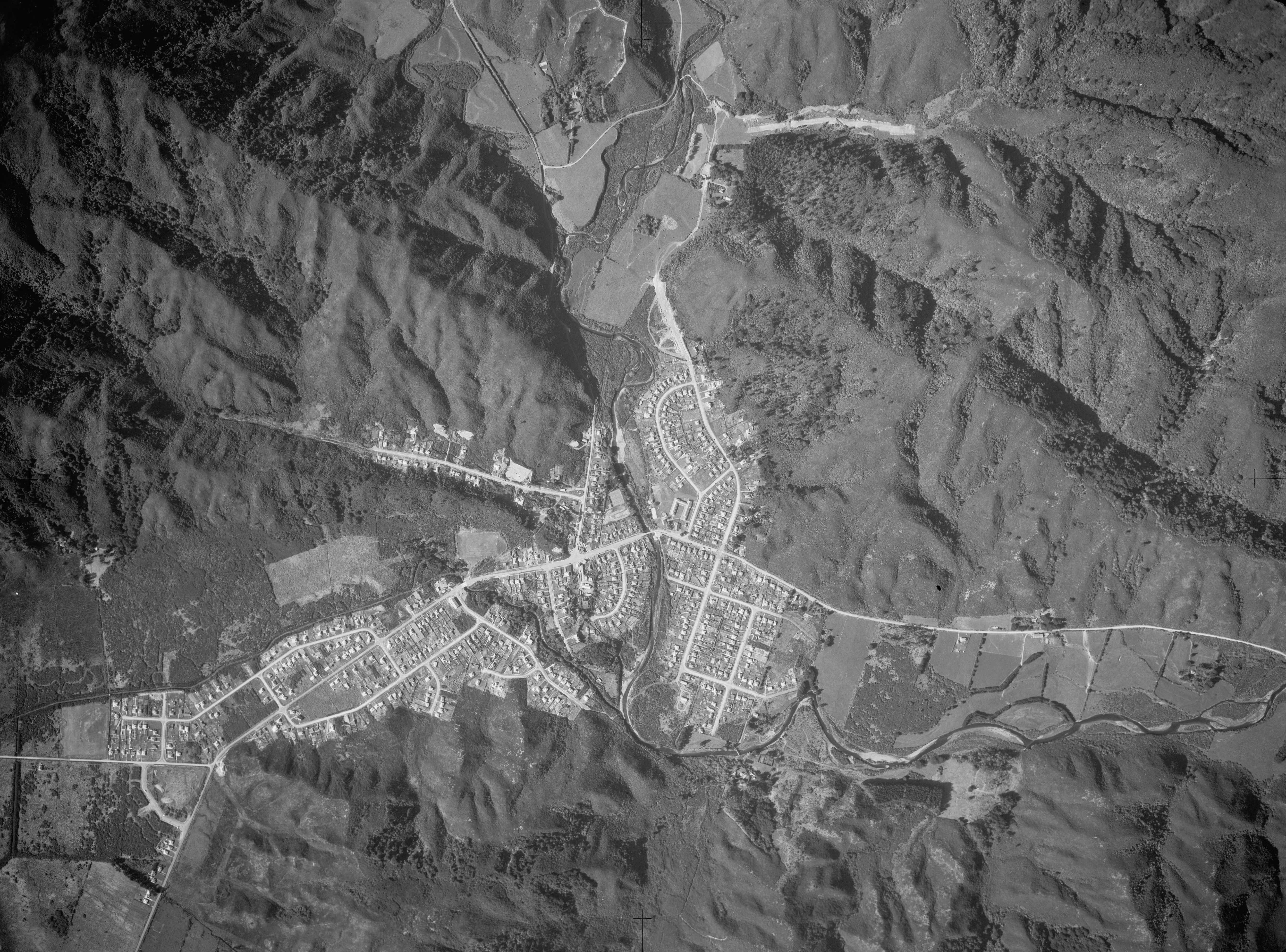
Take a photographic journey from the skies or from other elevated locations to witness the transformation of Wainuiomata over the decades. This growing collection of aerial photography provides a captivating visual story of the suburb’s growth and metamorphosis.
Articles here include photos taken from high up vantage points on hillsides, drone footage, as well as photography from aircraft. Among these images, selections from the LINZ Data Service are available for reuse under the CC BY 4.0 licence. These particular photographs will be clearly marked for recognition.


DISCUSSION