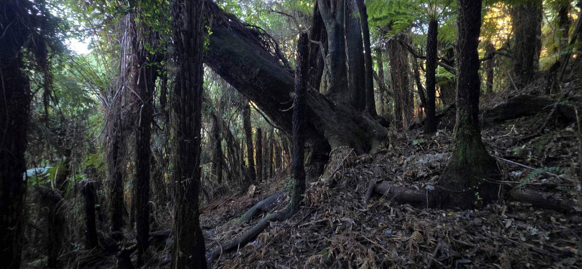
Searching for evidence of historic gold prospecting believed to have taken place in the Northern Forest.
As I headed out for the day, the temperature was just 3 degrees according to my car. The radio announcer was reading out temperatures from around the region and reported that Wainuiomata was sitting at only 1 degree. Despite the cold start, the sky was perfectly blue and there was barely a breath of wind. It promised to be a beautiful winter’s day.
I was returning to Lees Grove to explore the Northern Forest for evidence of historic gold prospecting. I had been told that somewhere in the area was a small tunnel or opening in the hillside, with tailings still visible outside. Numerous nineteenth-century newspaper reports also refer to gold prospecting in the ranges between Wainuiomata and the Hutt Valley, back from Lowry Bay. At the time, the wider locality was sometimes referred to as the Lowry Bay District.
My mission today was to look for any surviving evidence of their activities, although I knew there was little chance of finding anything on my first attempt.
I started on Lees Grove Track, intending to reach a creek I had noticed during my previous visit here in Bush Bash 82. When I arrived at the point where I had planned to leave the track, I realised that the creek carried surprisingly little water, particularly for winter. It then occurred to me that most of the water crossing the lower section of the creek came from another branch running westward from Lees Grove.
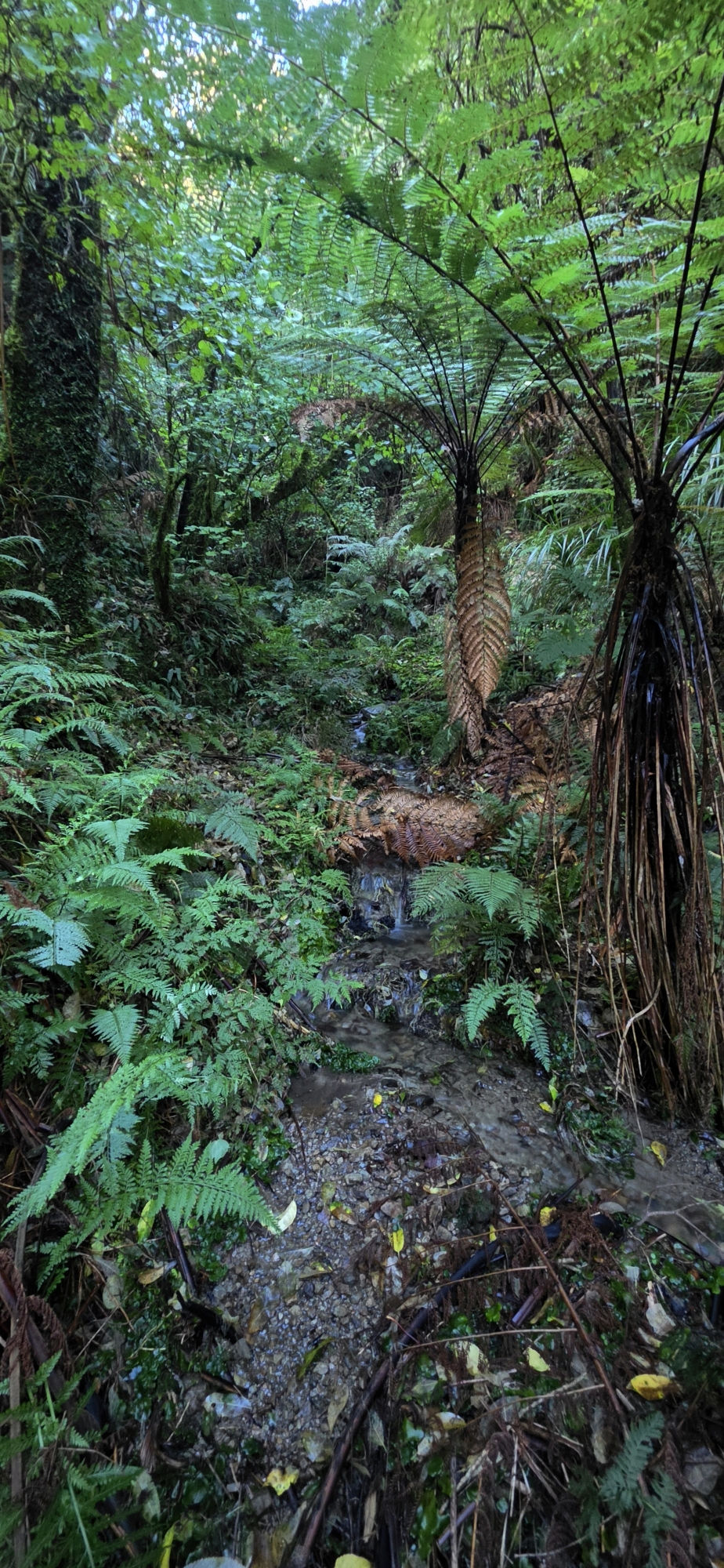 I decided to follow that westward creek instead, although I suspected it was unlikely to produce any evidence of prospecting given it was west of Lees Grove and I was told to look east. Nevertheless, I wanted to approach the search methodically. By beginning in the western side, I could gradually work my way east over a series of separate expeditions. This was far too large and difficult an area to investigate in a single day.
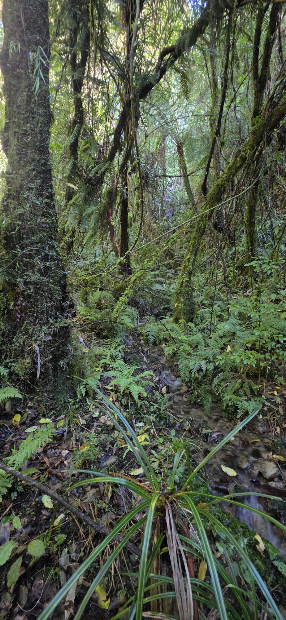
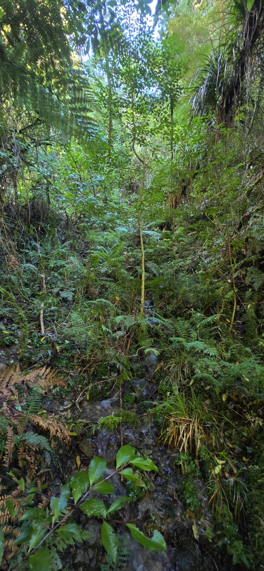
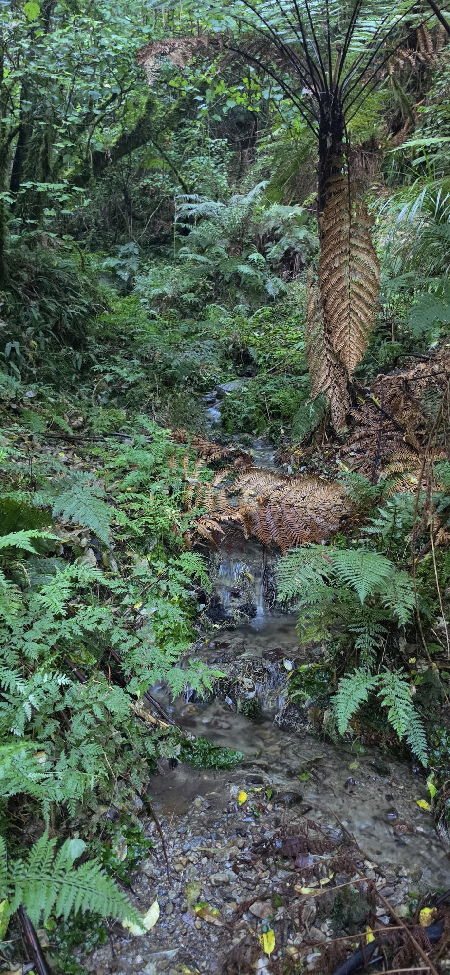
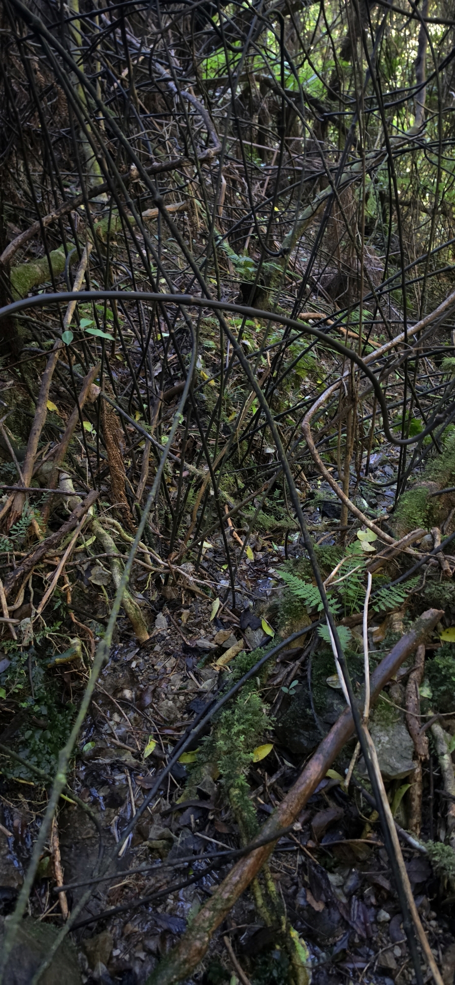
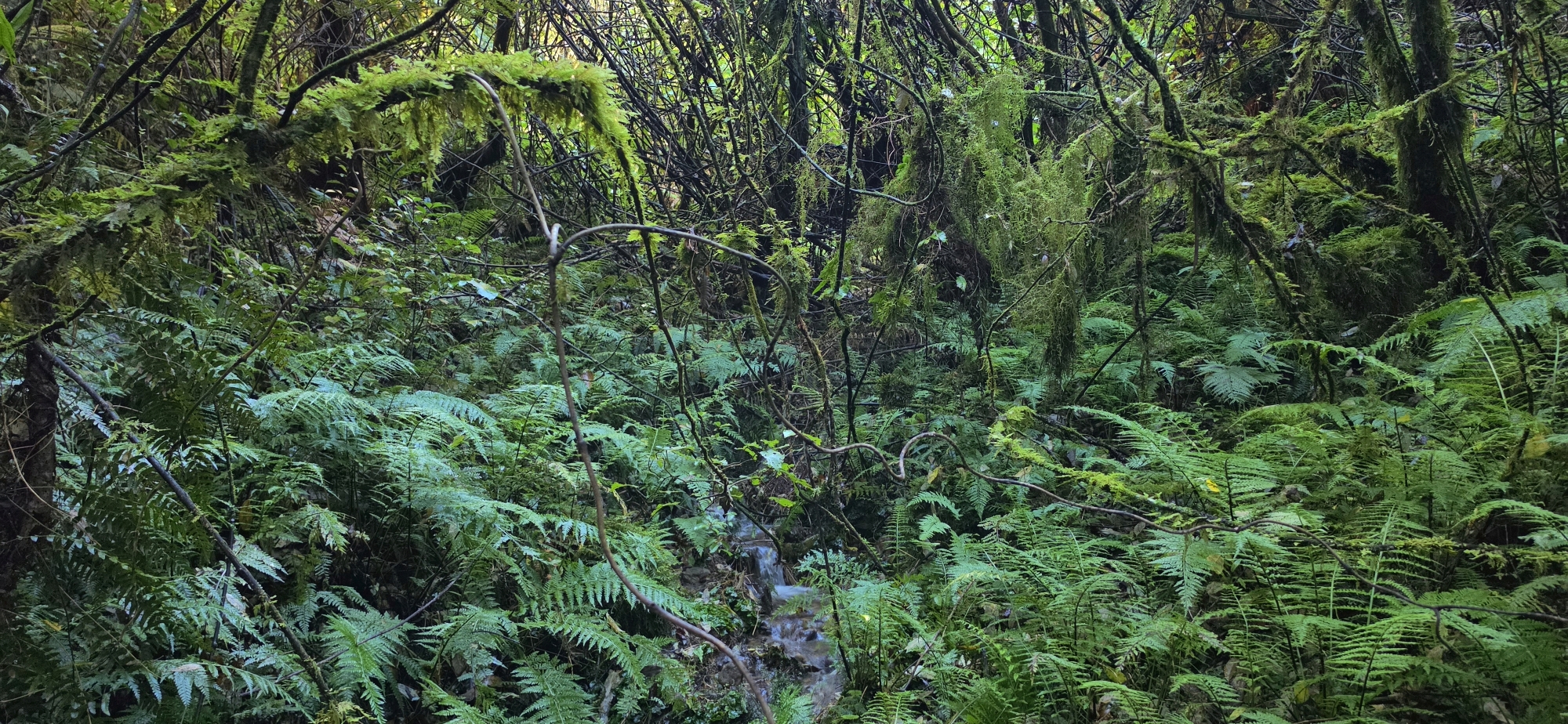
Following the creek proved extremely demanding. The gully was narrow and dark, receiving little sunlight because of its east–west orientation, unlike the other creeks in the area, which ran more from south to north. Thick tangles of supplejack made progress even harder, so I walked in the streambed whenever possible, occasionally straddling both banks where that offered an easier route upstream. It was more of a climb than a walk, as the creek rose steeply and the surrounding gully walls became increasingly severe.
I was becoming increasingly doubtful that I would find any evidence of gold prospecting in this particular gully or on the slopes above, especially given how dark and overgrown it was. How could a prospector have spotted a gold-bearing reef beneath such dense vegetation and in so little light? Still, there was always the possibility that, even if I found no trace of prospecting, I might discover one or two unfamiliar waterfalls, as the steep landscape seemed well suited to them.
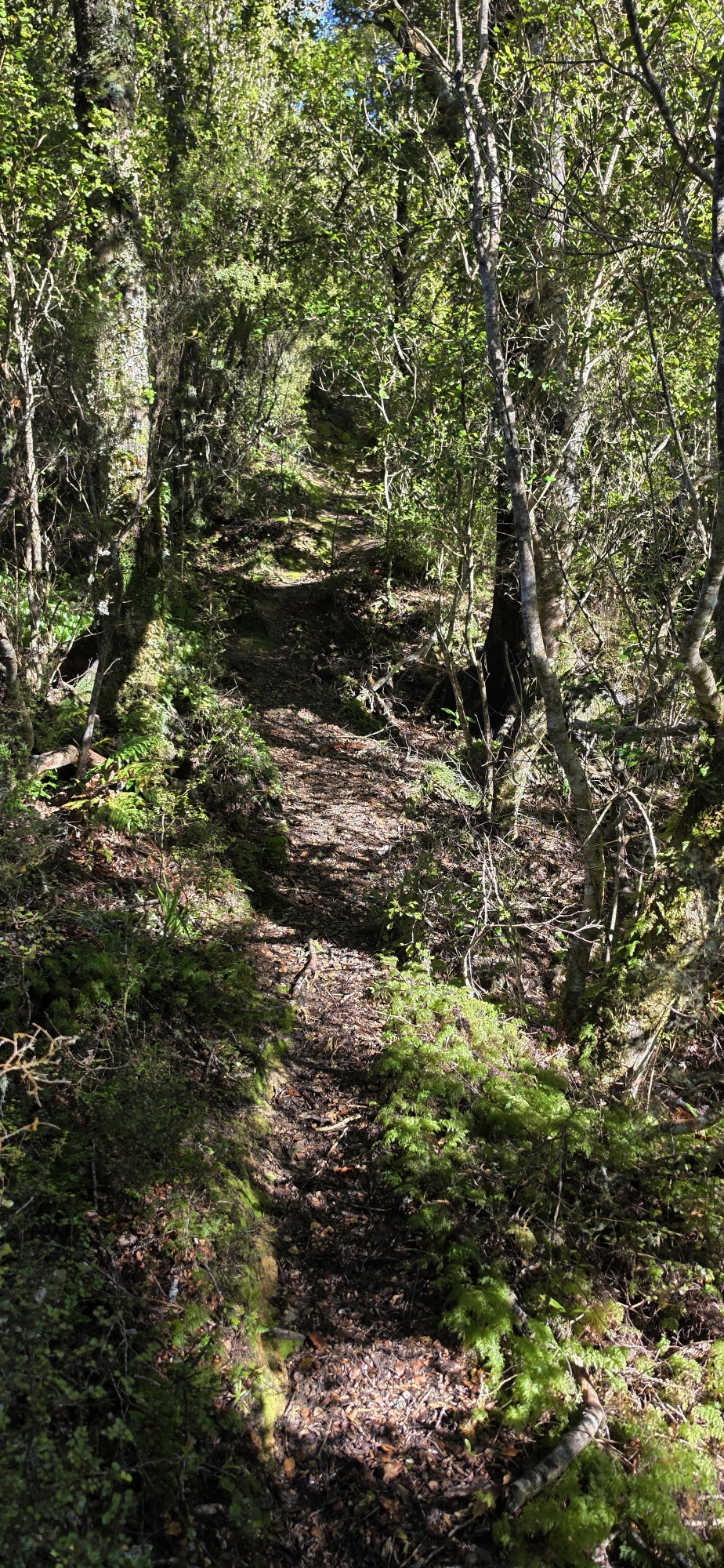
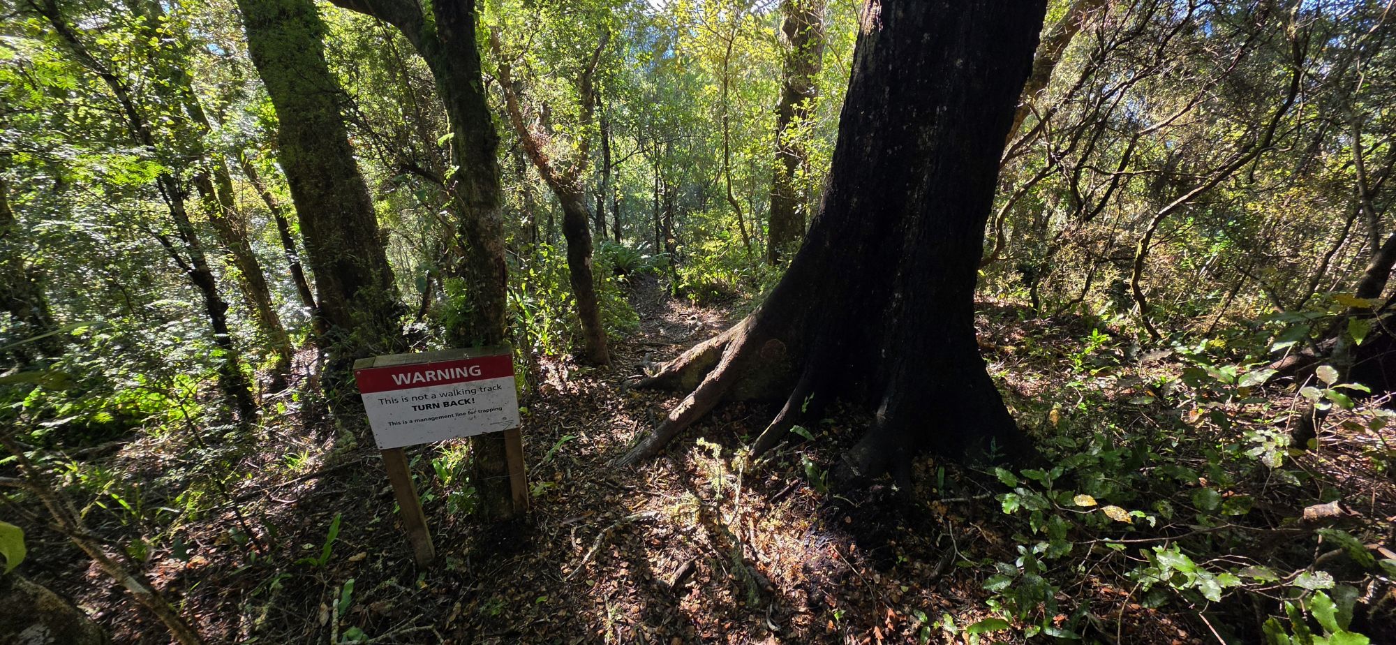
After the creek turned somewhat northwest, I eventually reached its upper end and climbed onto the ridge above, where I found a formed track. I considered simply following it downhill, knowing that it would probably return me to Lees Grove or somewhere nearby. Before doing so, however, I decided to head uphill and determine whether it was the same track I had encountered during Bush Bash 82, where I had seen a sign warning that it was closed to cyclists.
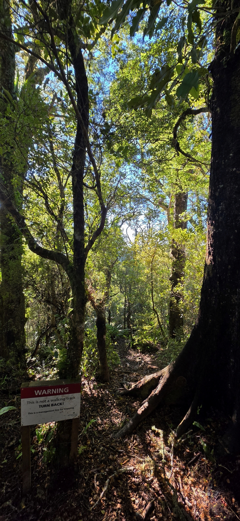 It was indeed the same track. Before confirming that though, an on the way up, I passed another sign indicating that it was also closed to walkers. So I continued upwards until I reached the Rātā Ridge Track.
From there, I walked to the Mt Lowry Trig. On a future expedition, I plan to descend from near this trig into the gully below, follow the creek along its length and then return by walking up Gollans Stream. It was too late in the day to attempt that route now though, but I decided to descend a short distance through this general area to get a better understanding of the terrain.
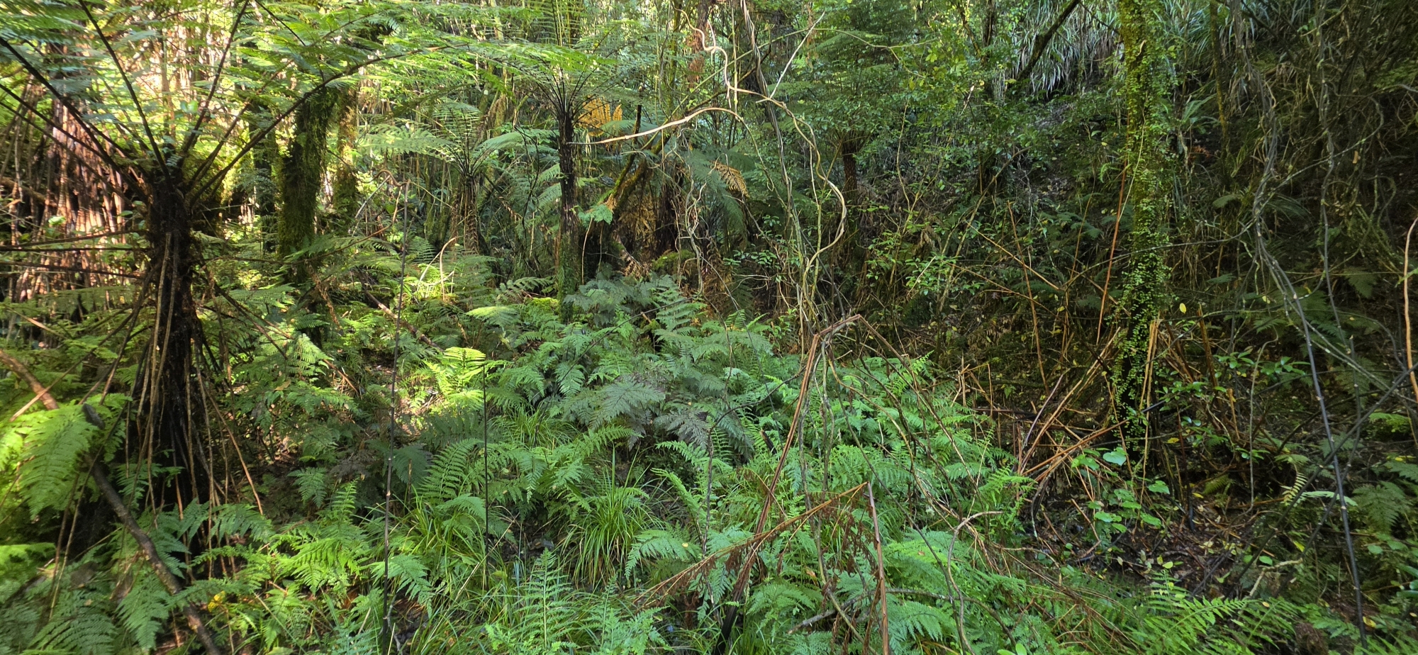
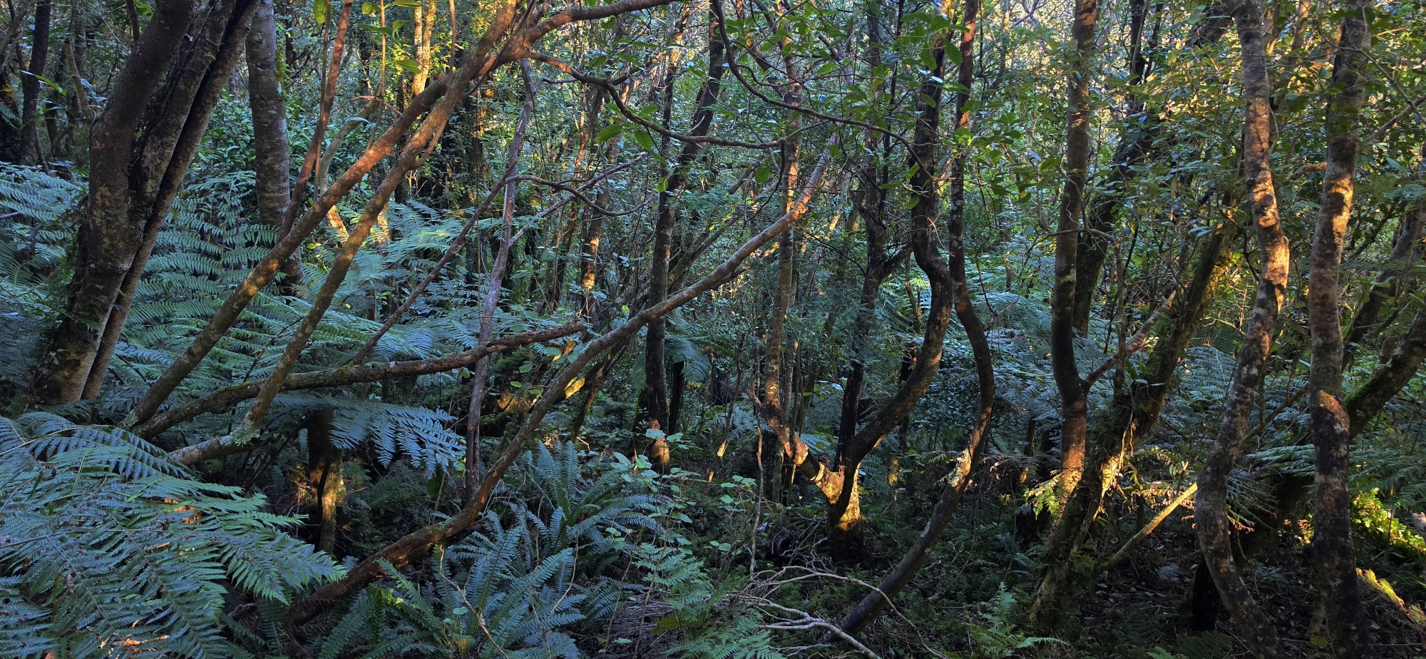
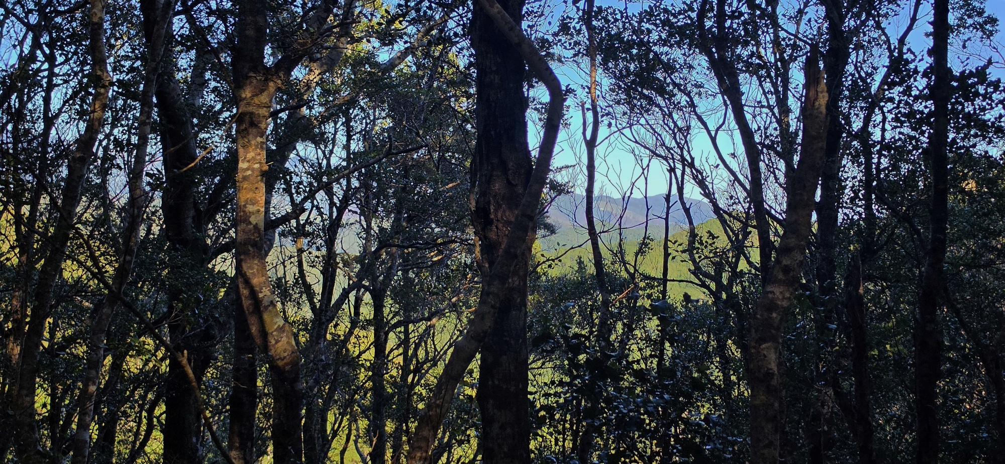
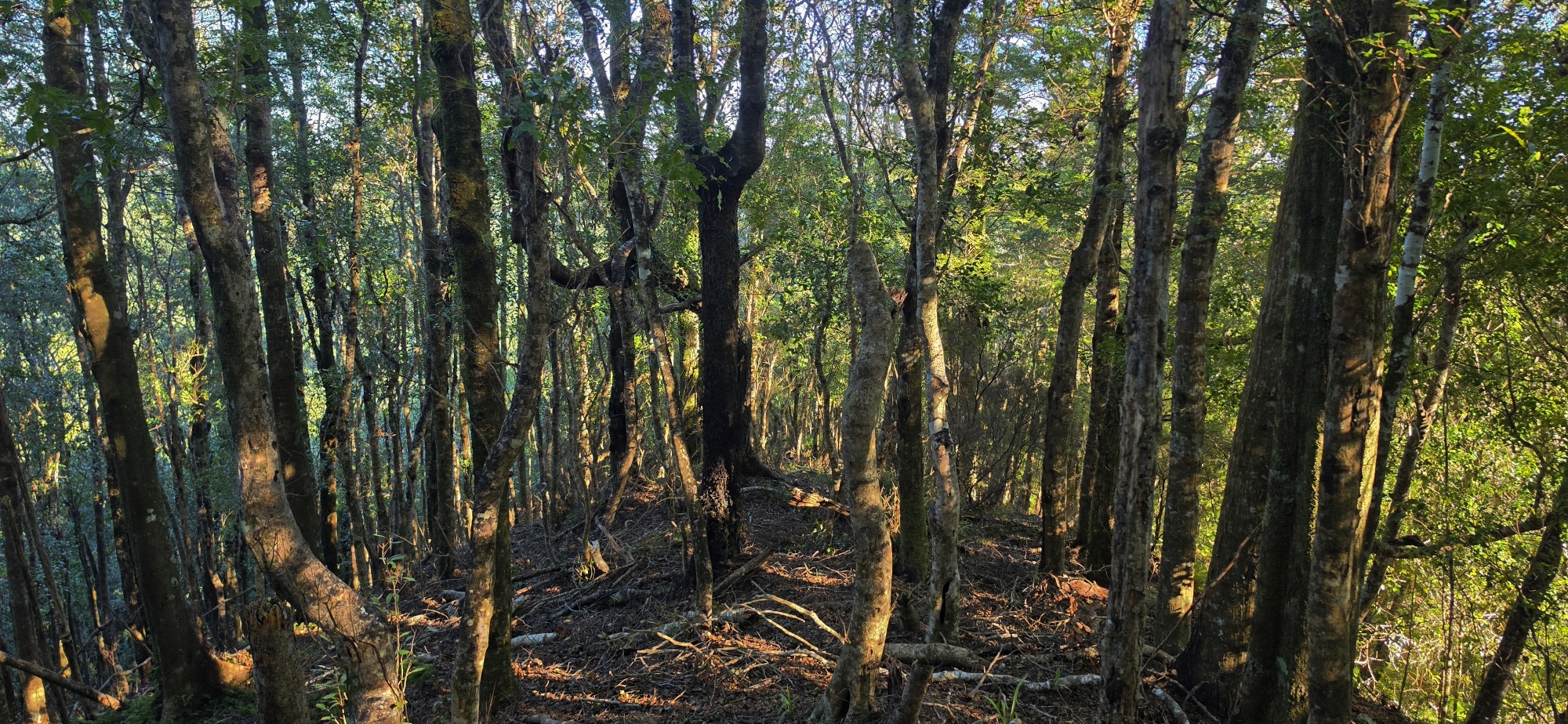 The route appeared achievable, and the native forest in this part of the reserve was particularly beautiful. I moved across the hillside towards a ridge separating that gully from the one through which Gollans Stream flows. Rather than descending further, I followed the ridge separating both creek gullies for about ten minutes before stopping for a rest and a drink. The sense of solitude was amazing.
I then climbed back to the Rātā Ridge Track and continued until I reached the top of the Lees Grove Track. After descending for a short distance, I left the track and entered the bush on its western side to begin searching for the reported prospecting tunnel.
I zigzagged across the hillside until I reached a steep gully containing another creek. From there, I returned to Lees Grove Track and repeated the process several times as I gradually worked my way towards the bottom of the hillside. The creek in the steep gully turned out to be the one I had originally intended to follow at the beginning of the day.
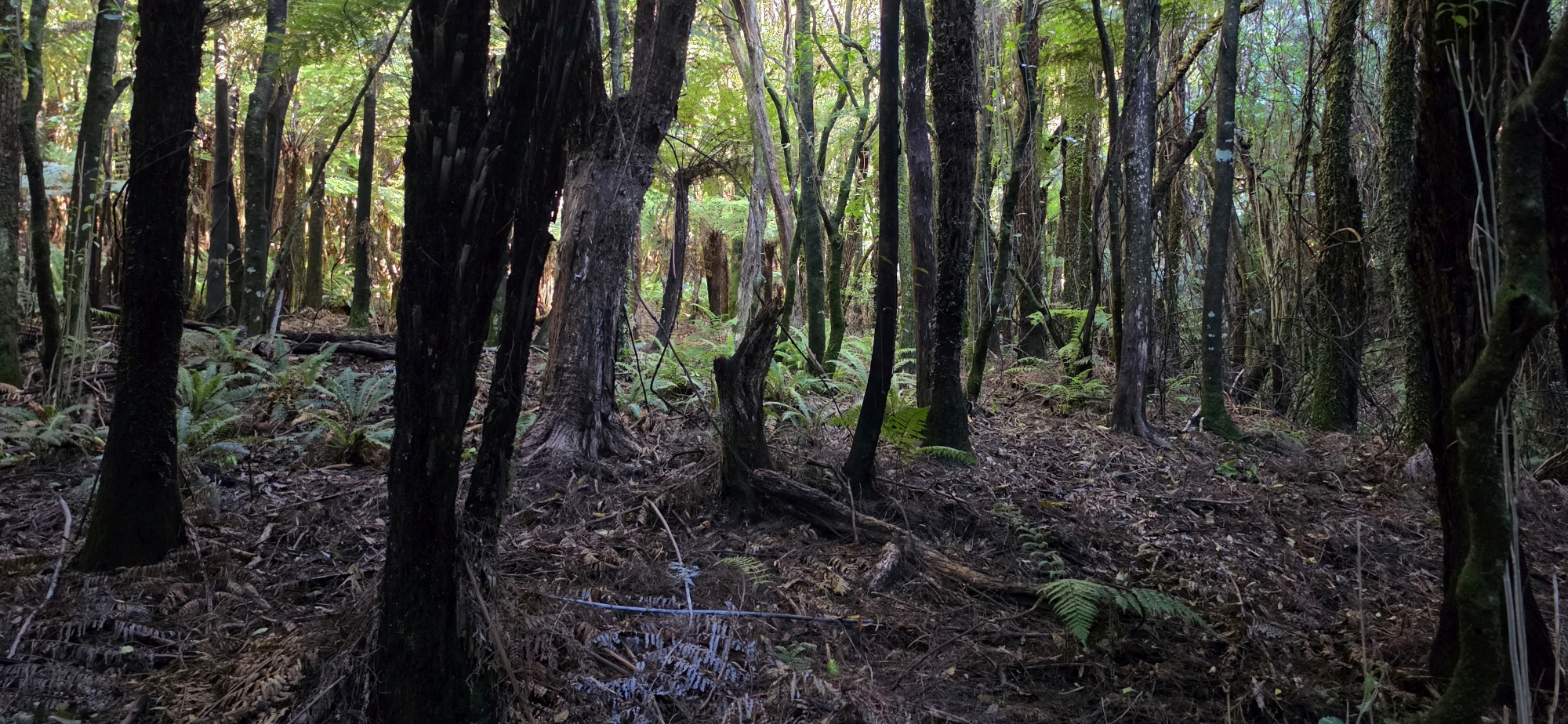 By the time I reached the lower end of the track, I had already devised my next approach. On a future visit, I would follow that creek uphill for some distance, then turn east and zigzag across the slope until I reached the Rātā Ridge Track farther along the ridge. This would allow me to investigate another section of the hillside systematically.
For now, however, I was simply pleased to return to the car and begin the journey home. It had been a challenging trek, with my arms aching from the climbing and my legs feeling the effects of the steep terrain. I had found no trace of the prospecting tunnel, but I had eliminated one section of the forest and gained a much clearer understanding of where to search next.