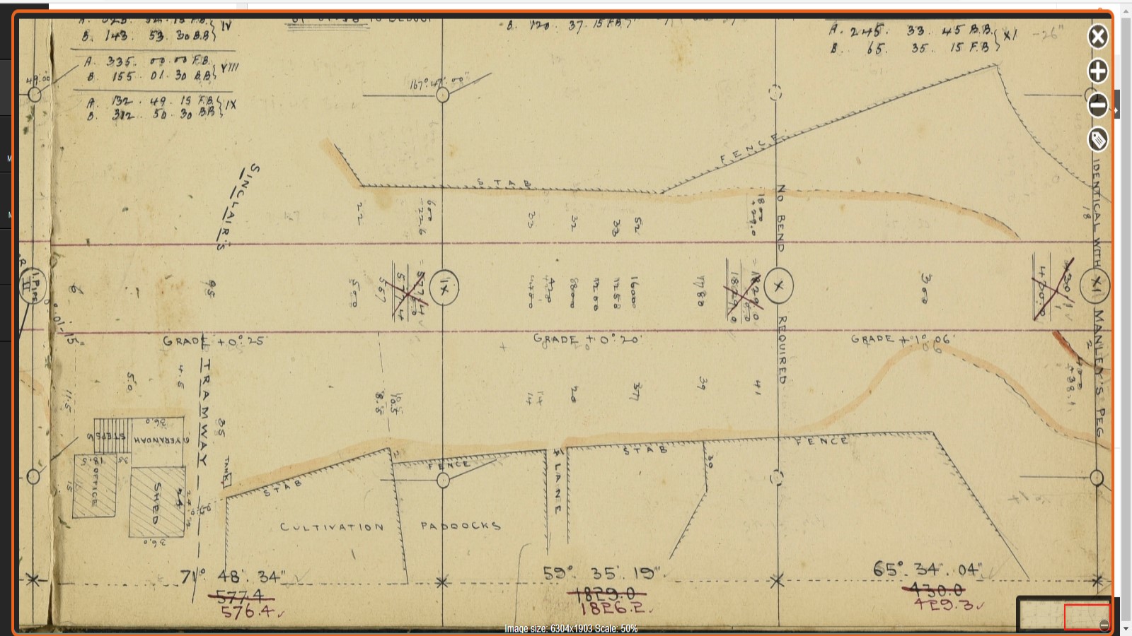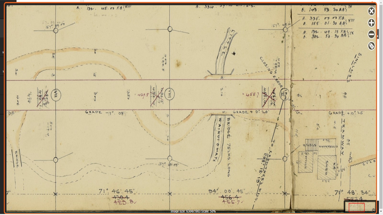
The original Sinclair Tramway in Wainuiomata was built in the 1860s to transport timber. It was replaced in the 1880s by a steel tramway used for logging and carrying people and materials for dam construction.
The Sinclair Valley Tramway played a crucial role in the family’s logging efforts, which began in the late 1850s to early 1860s. The original tramway was built with wooden rails, but in 1879, Mr. Sinclair requested tenders for the transport of 150 tons of steel rails, which he imported from England and simultaneously obtained from Hobart a steam engine which he named the “Pio Pio“. This new system replaced the earlier wooden tramway; however, it was M. Duggan who won the tender to construct the new tramway. The original tramway ran through Sinclair’s land, but the Council also sought a tramway to reach a new dam planned further up Sinclair Valley, now known as Reservoir Valley. The arrangement was as follows:
We, Messrs J. and D. Sinclair, agree to the following arrangements, viz. – That the Council form a road from the mills to the proposed reservoir, the road to be formed on a gradient suitable for a railway, we undertaking to ballast said line and lay rails, &c., and to carry all cement or other materials for the Corporation or contractor under them, or their servants, that may be required in carrying out the waterworks at Wainui-omata. This to be done free of charge. In consideration of above agreement, we agree to allow the Corporation to carry water-race and water-pipes through the whole of our properties at Wainui-o-mata and Lowry Bay district free of any charge or claim for compensation for all time. The Corporation, where passing through grass lands, undertaking to leave the land in proper order after finishing the laying of the pipes.”
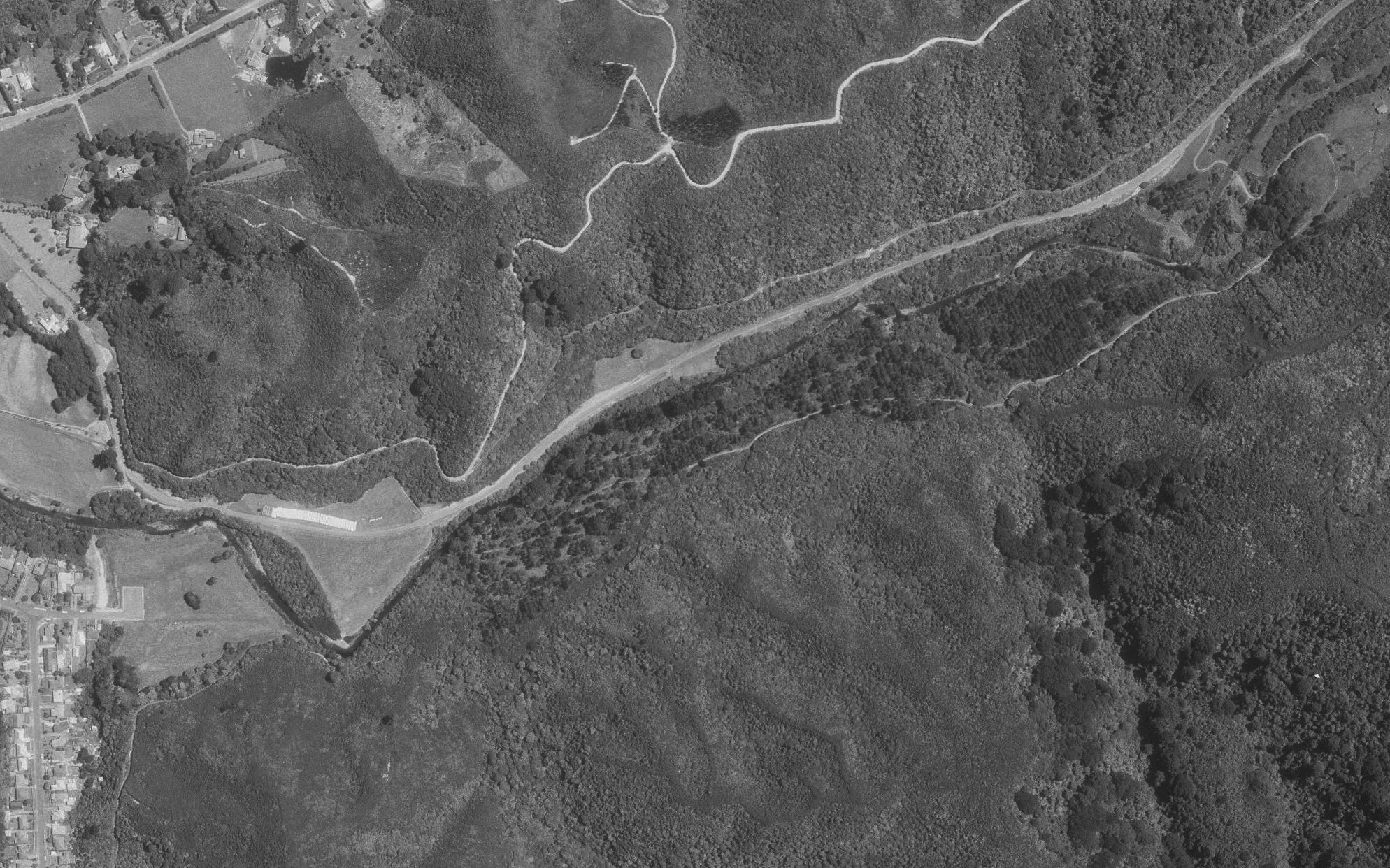
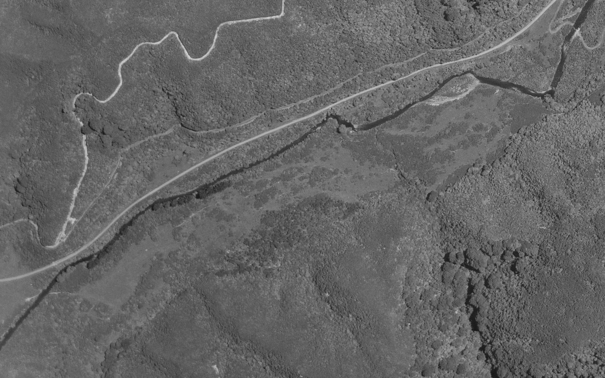
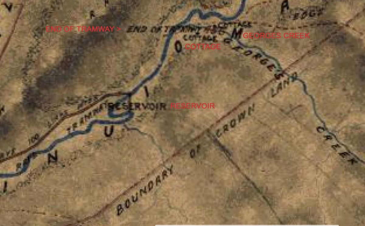
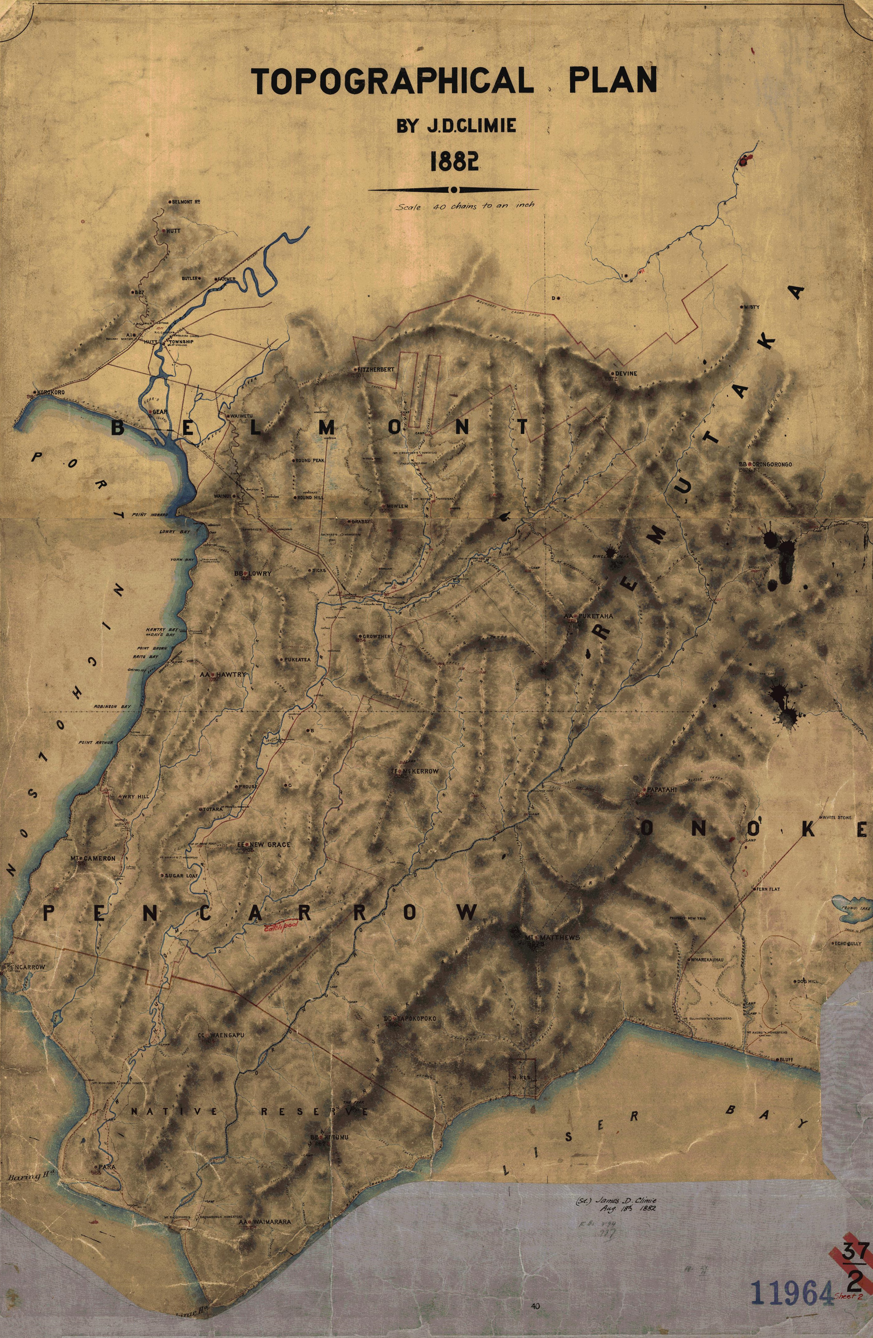 An 1882 map reveals the full route of the steel tramway, reaching all the way to George Creek, later the site of Morton Dam, constructed in the 1910s. Logging extended into this area, stopping roughly 200 metres beyond that point. While the steel tramways’ path is documented, the route of the earlier wooden tramway remains unknown. Where exactly did it run?
The opposite side of the valley, once known as The Terrace because of its flat, elevated terrain, would have provided a logical route for the earlier tramway. Although the area was once densely forested, much of The Terrace is damp and contains patches of wetland. Had the tramway passed through here, it would most likely have followed the lower hillsides, remaining just above the wetter ground.
In deed, evidence of an old track, including sections cut into the bank, can still be seen today. However, this alone does not confirm that it carried a tramway, as such tracks were commonly formed during logging operations. For the purposes of this article, the route is referred to as the Sinclair Track.
A photo taken in the 1880s show the track near the Sinclair Cemetery end. A newer track connecting with Gums Loop was later constructed along part of this route, probably making use of the existing cut bank and level formation. Further traces of a bench-cut track can be followed as far as Sledge Creek and beyond.
In fact, further east of Sledge Track, additional cuts in the landscape appear to resemble a pathway suitable for tramway tracks, hinting at the possibility of the route extending deeper into the valley on this side of the river. However, if a tramway ran through here, it likely did not extend beyond the location of the spillway of the old dam (which did not exist at this time). At that point, the Wainuiomata River closely follows the hillside, and the terrain is extremely steep and unstable, making further eastern penetration impractical.
The Sinclair family not only owned the the land that the tramway was located, but also held the large expanse of land that they logged. Over the years, they converted the logged areas into farmland and constructed several homes on their land, including House Northbrook, a mansion located close to where the tramway ran along in today’s Whitcher Grove.
We also know that the Wellington City Council sought to protect the water catchment area at the top of Sinclair Valley for their water supply scheme in 1880, so they got agreements from the Sinclair family and from all other land owners where the water race passed through.
In 1883, due to bankruptcy, the Sinclair family’s properties, homes, sawmill, tools, tramway rails, tramway trucks, wagons, and other assets were offered for sale. Later, the Council expressed interest in purchasing the Sinclair land located inside the catchment area where Wellington’s water was sourced, but this land was now in the hands of a different owner who suggested an expensive plan to use his land. The council rejected the plan and instead relied on the previous agreement they had with the Sinclair family regarding use of the land as a water catchment to perpetuity.
When the Sinclair family fully ceased logging operations, they left Wainuiomata. But the steel tramway continued as transport to the dam and was also used during construction of the dam to transport concrete to different sites for the concrete race.
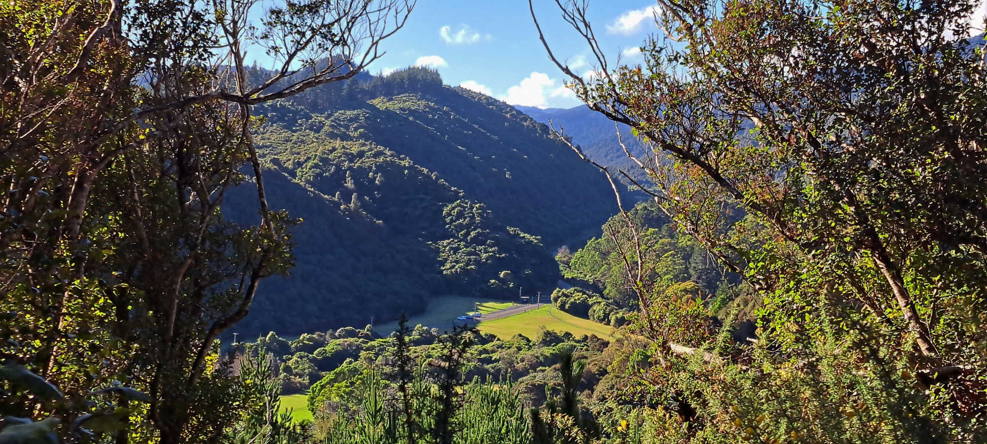
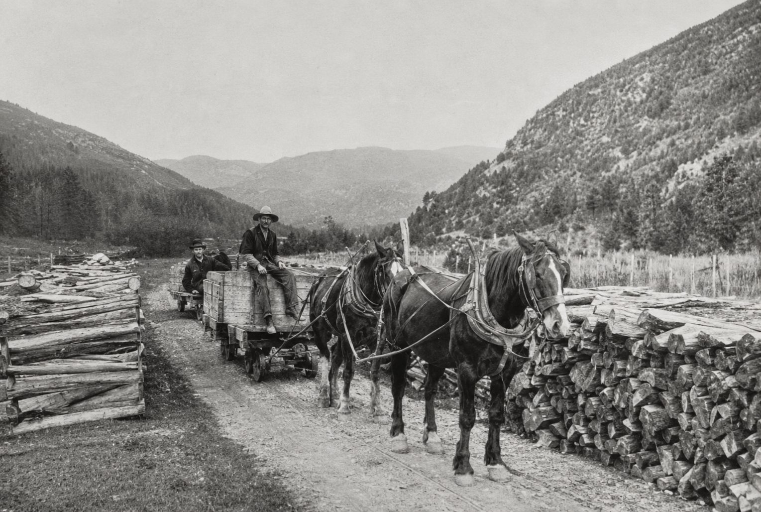 The tramline began near House Northbrook and extended as far as George Creek. An AI-enhanced version of a historic photograph to the right, shows a tramway which is likely the Sinclair Tramway. Although it is larger and higher in resolution from the original, some details may not be entirely accurate. The scene appears to correspond with the present-day Reservoir Road car park, as the surrounding hills and ridgeline closely match the view from that location.
 The original photograph on the right was published in a newspaper article reporting on progress at the Morton Dam construction site. Beneath it is a modern photograph of the Reservoir Road car park, believed to have been taken from approximately the same location. The close alignment of the hills and ridgeline provides strong evidence that the historic image depicts the Sinclair Tramway.
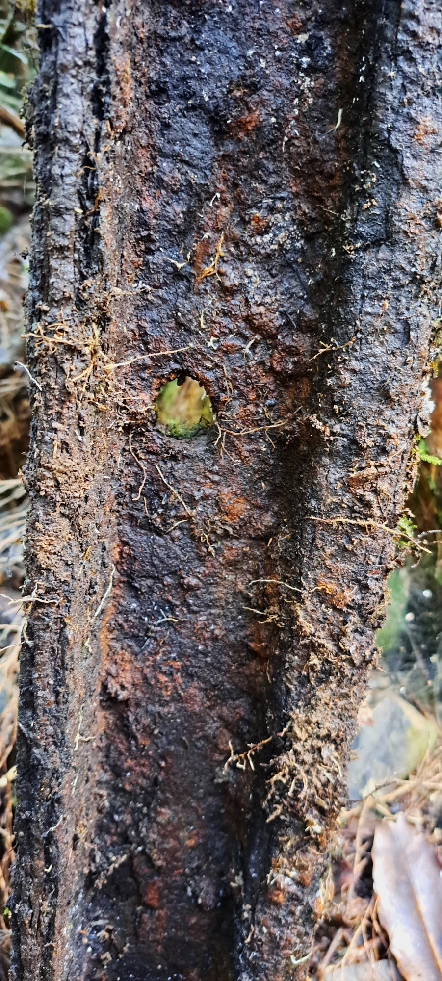
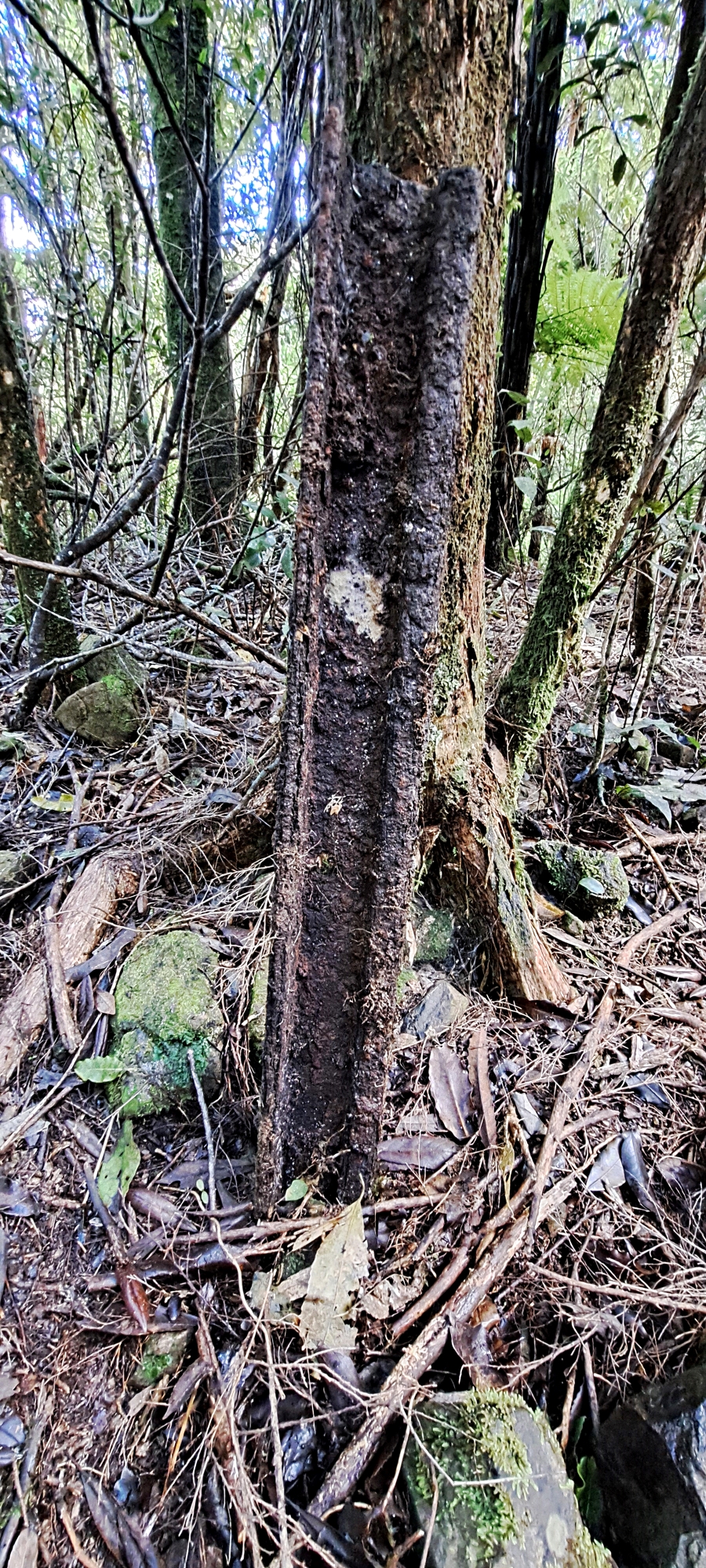
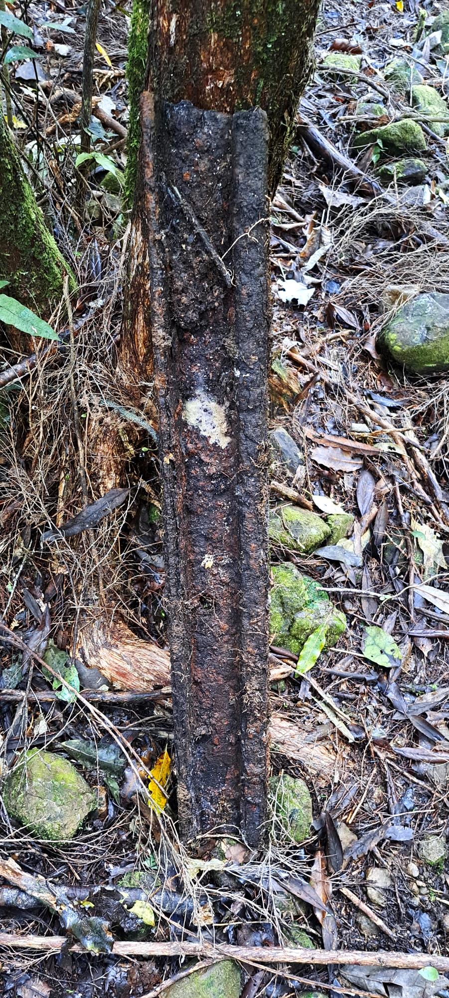
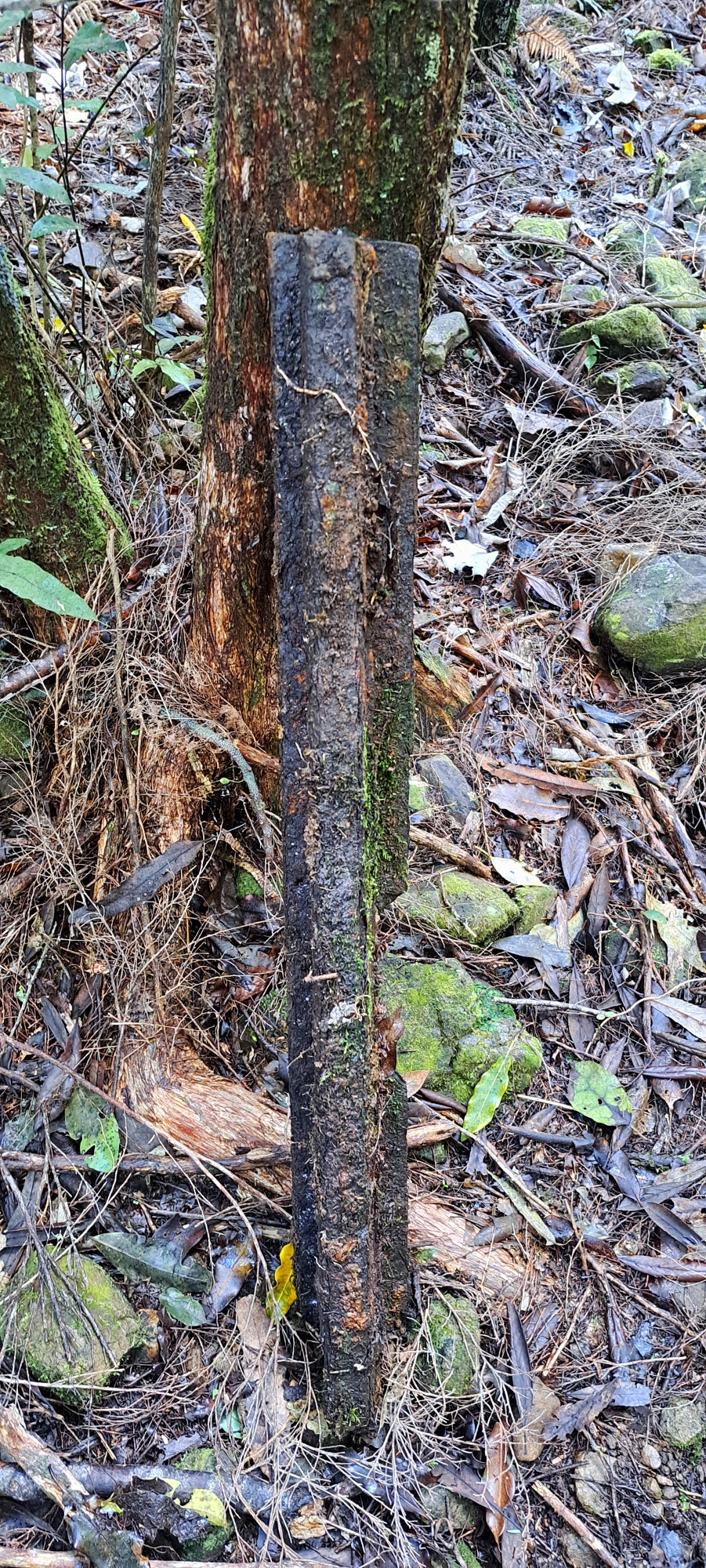
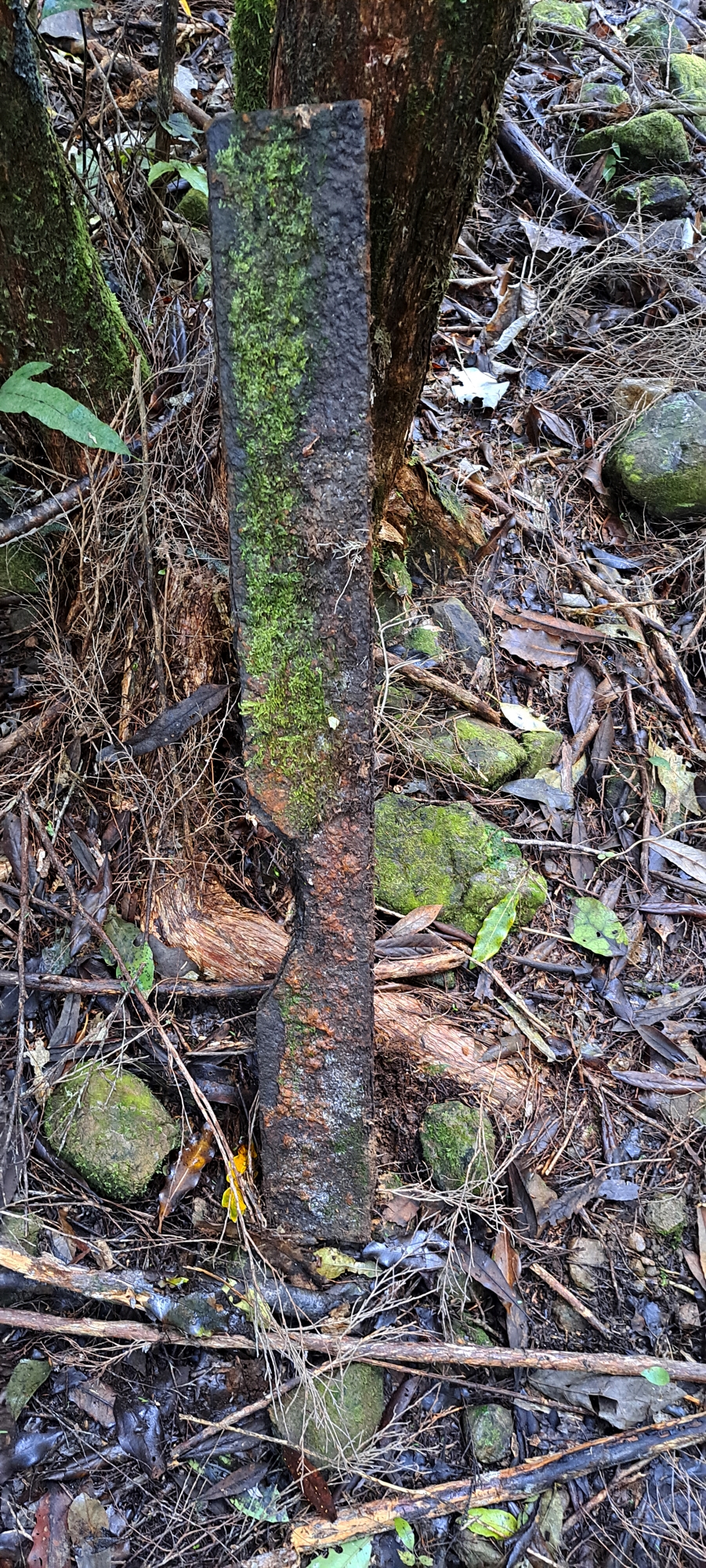
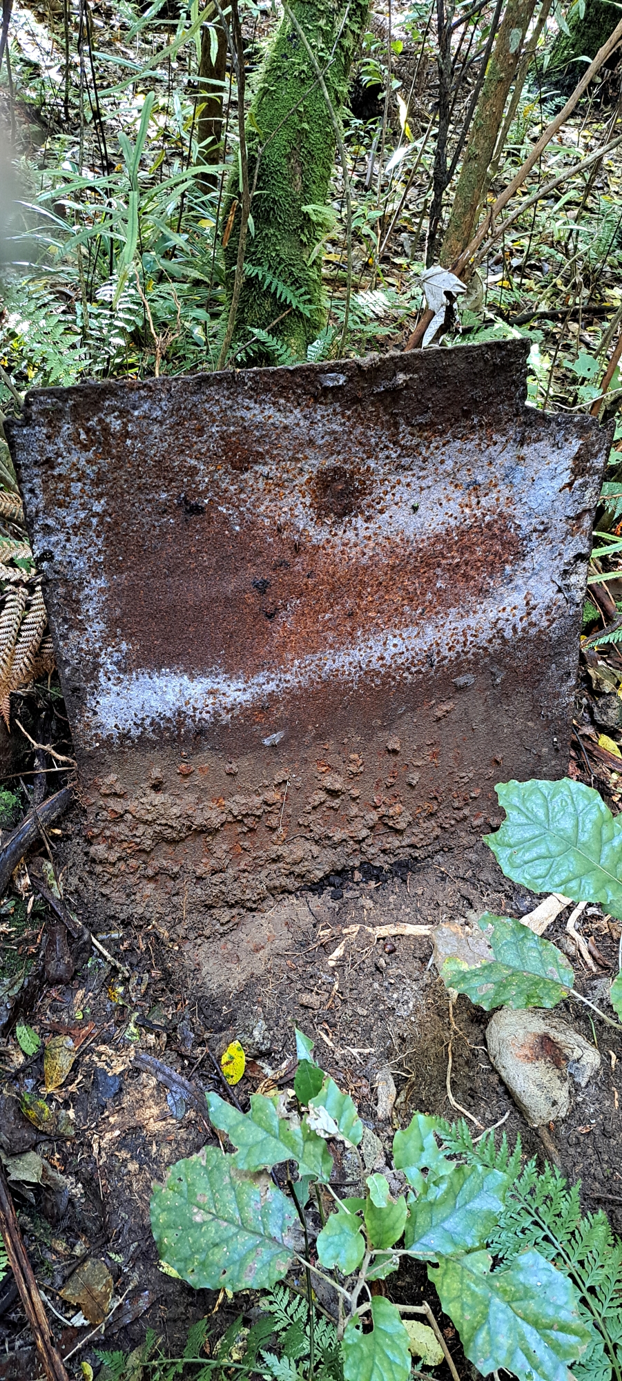
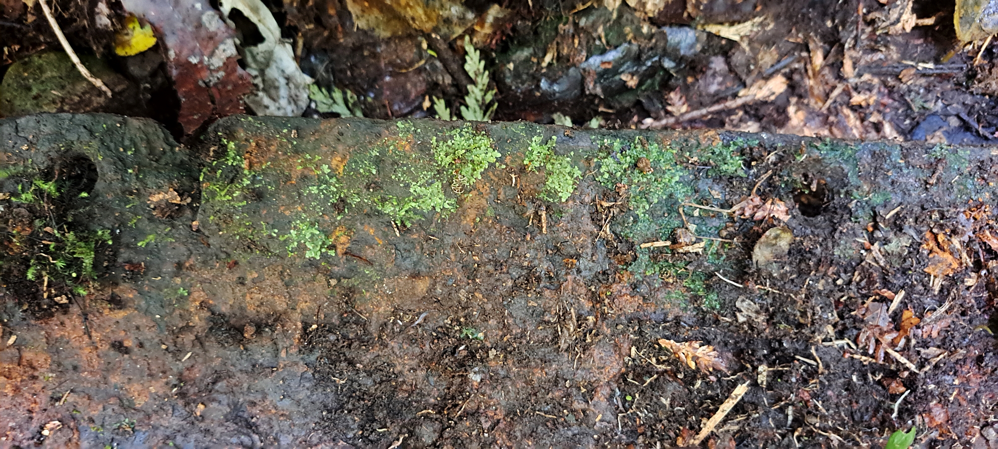
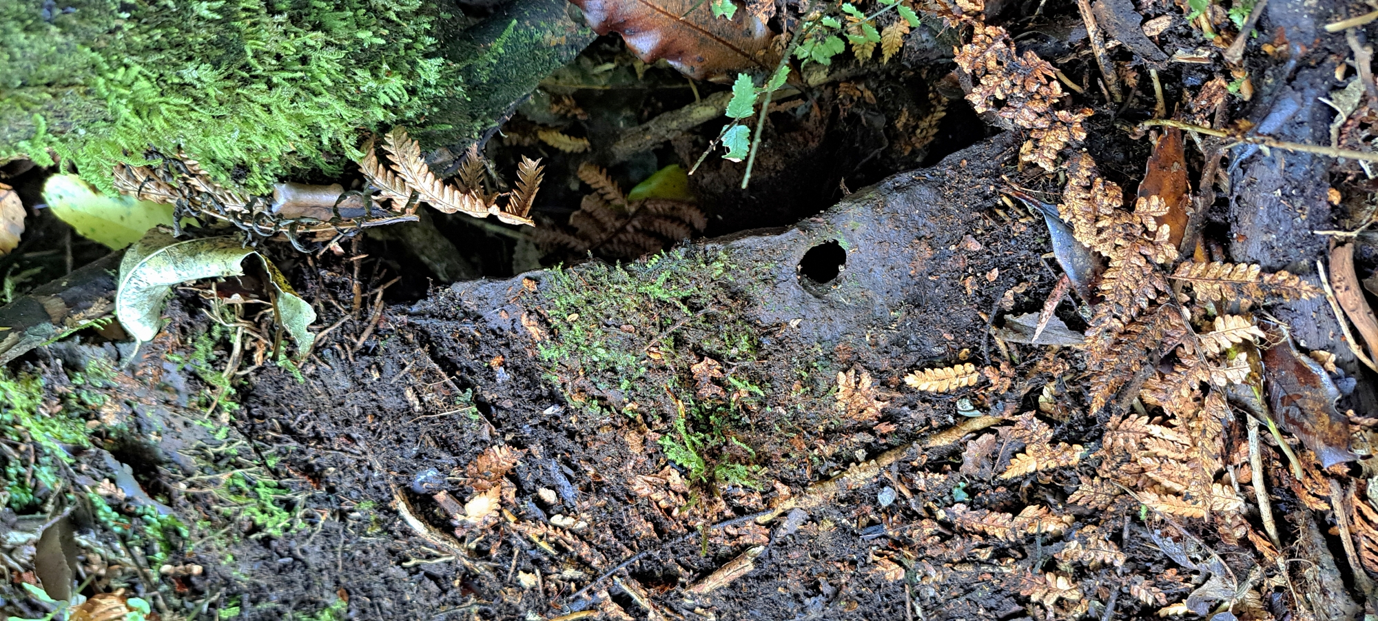
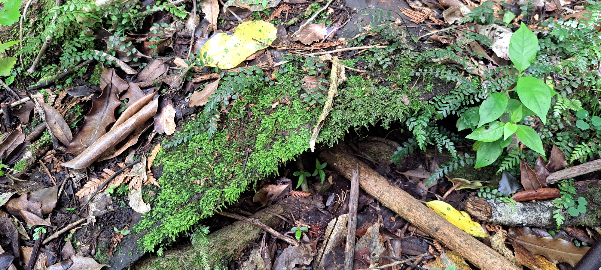
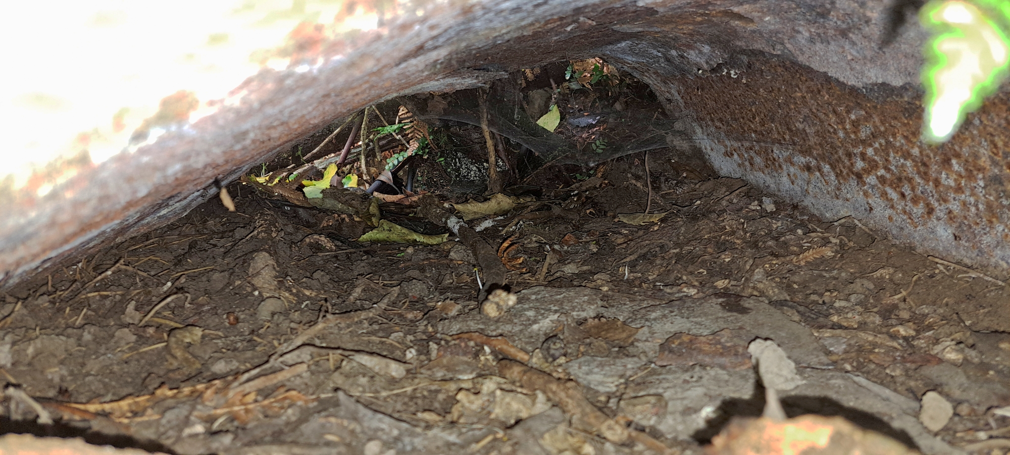
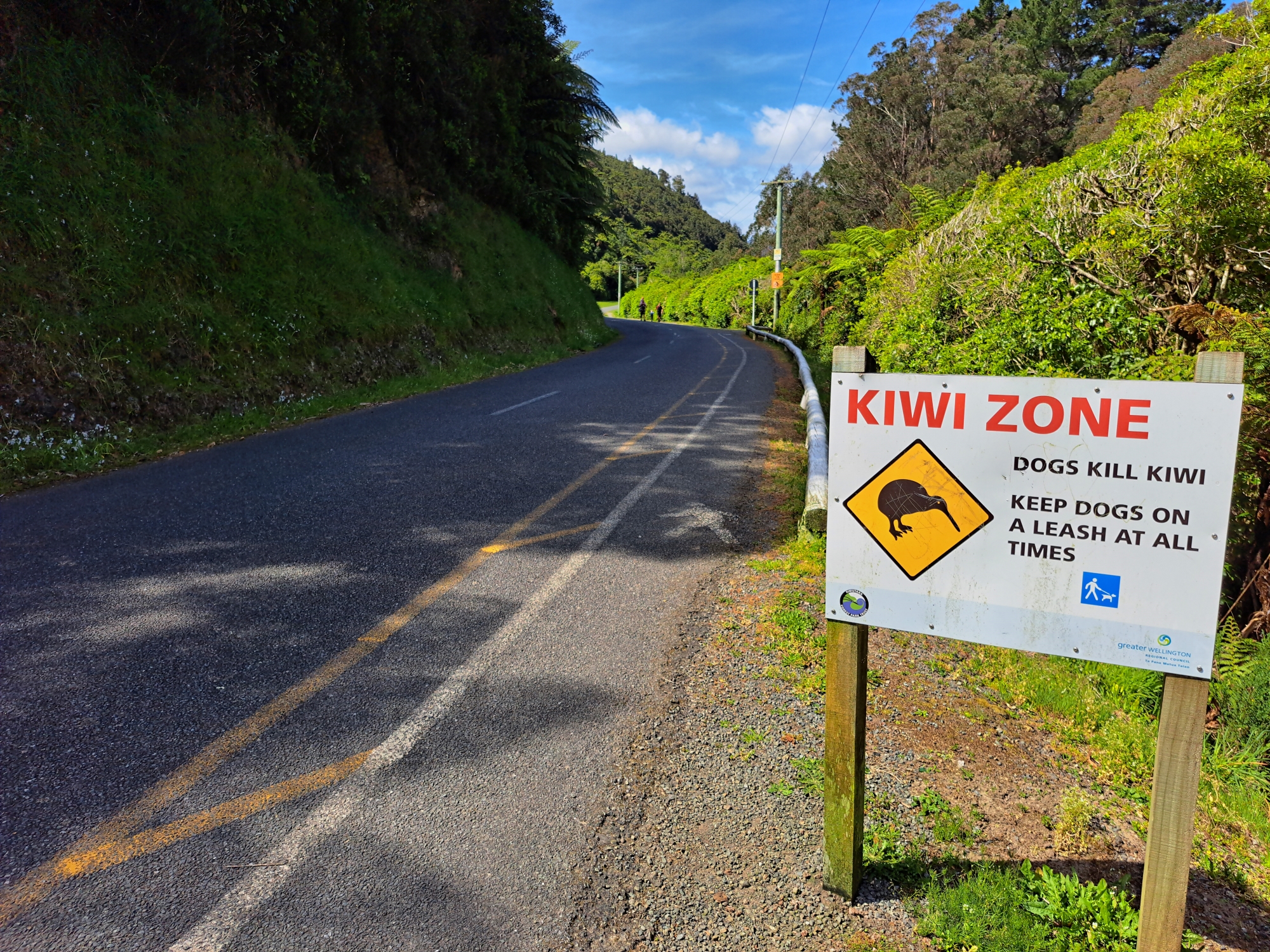
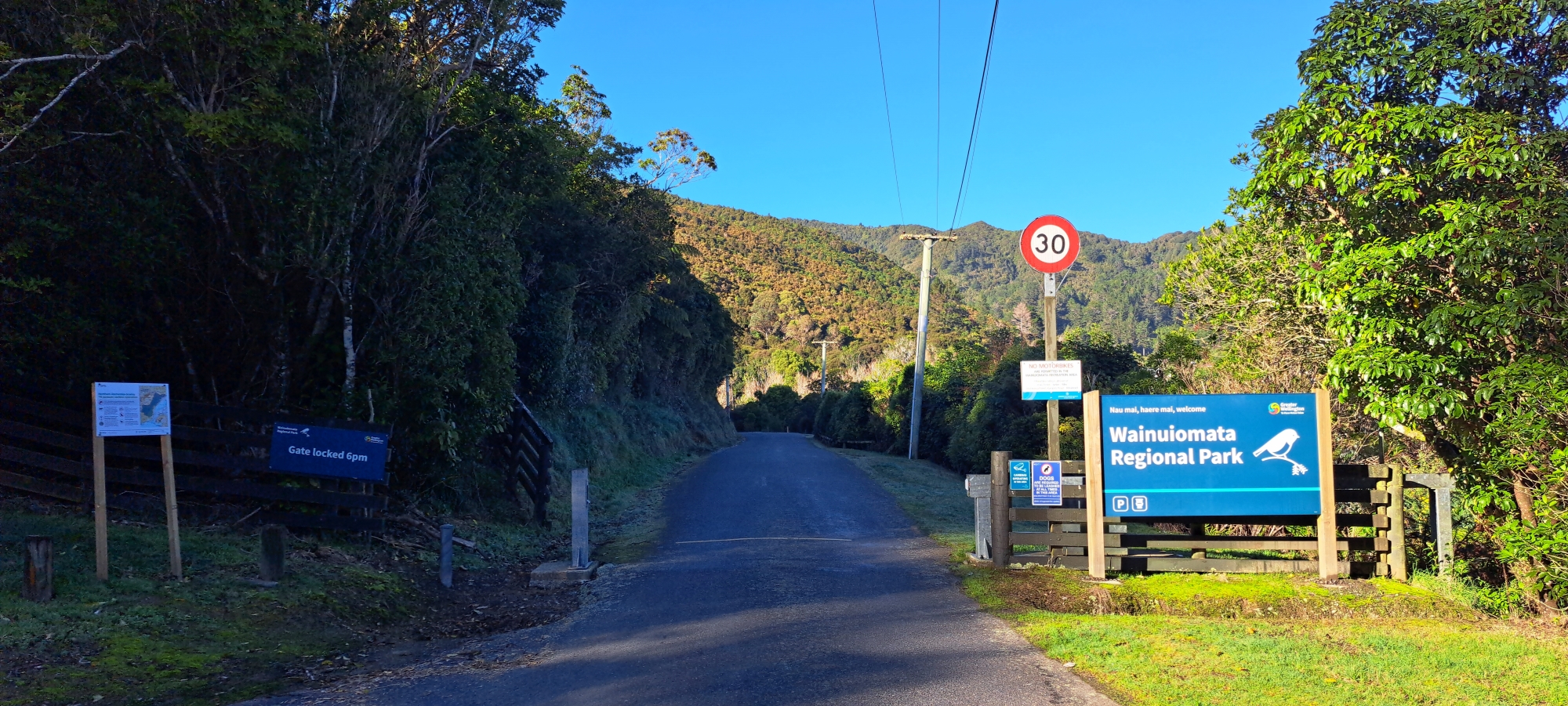
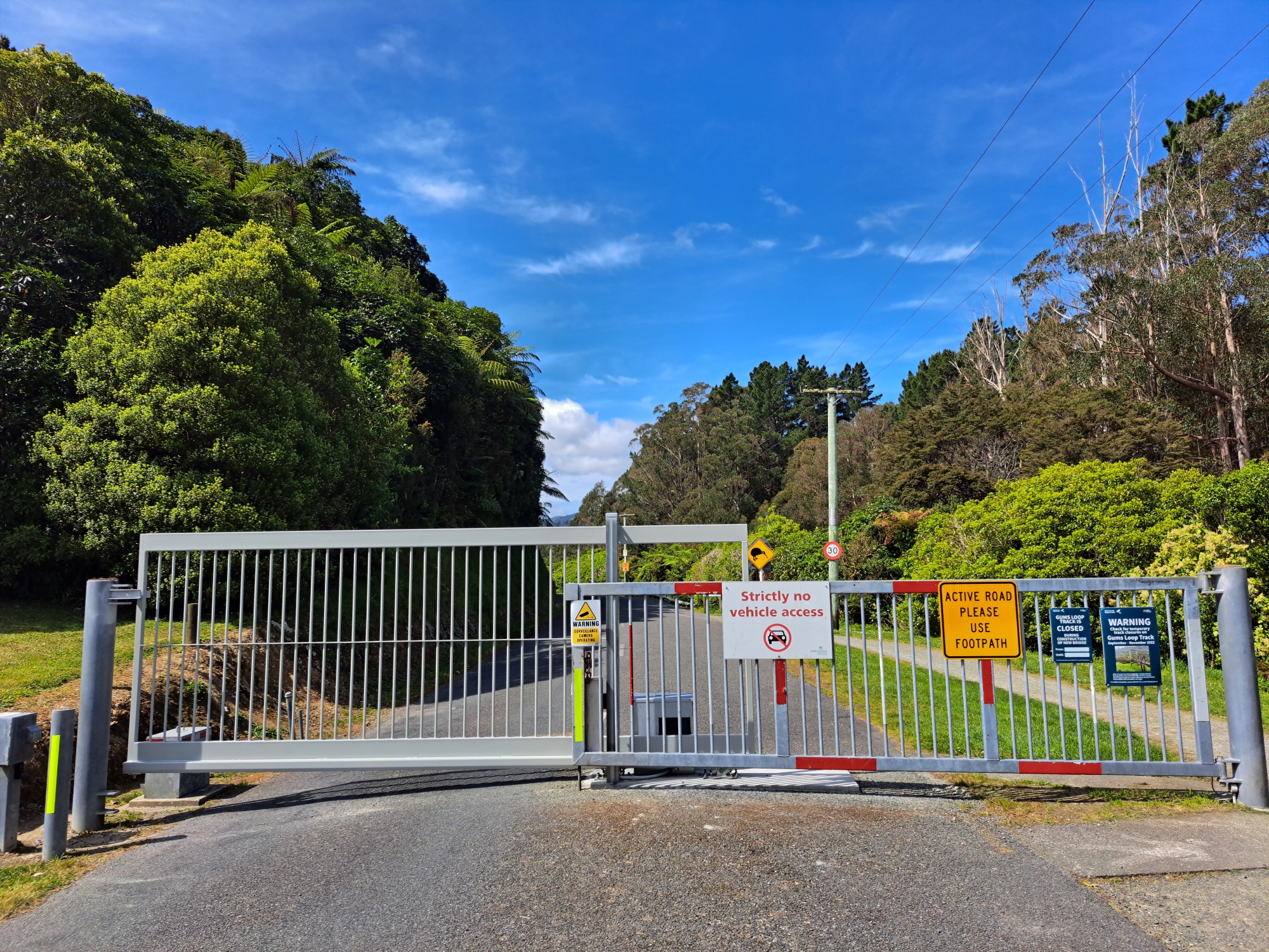
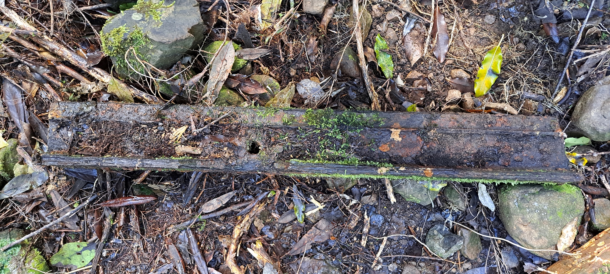
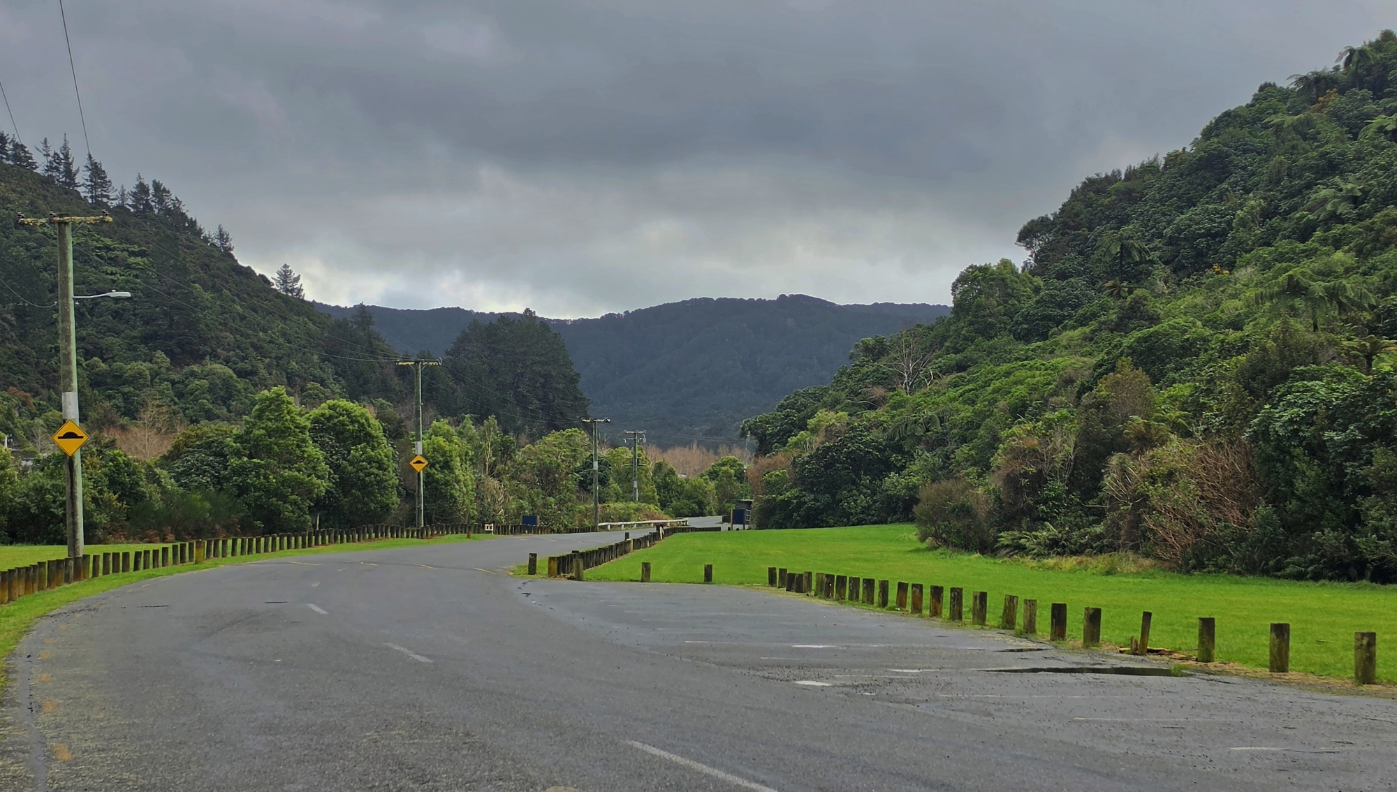 Over time, the tramway was replaced by what is now Reservoir Road, a private road with a locked gate. Today, there are only one or two potential artefacts associated with the steel tramway which are pictured in the gallery below.