
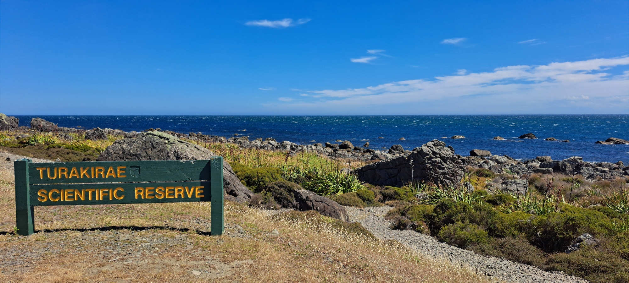
The Turakirae Head Scientific Reserve, located on Wainuiomata’s southern coast, is a unique natural area showcasing earthquake-raised terraces and stunning coastal landscapes.
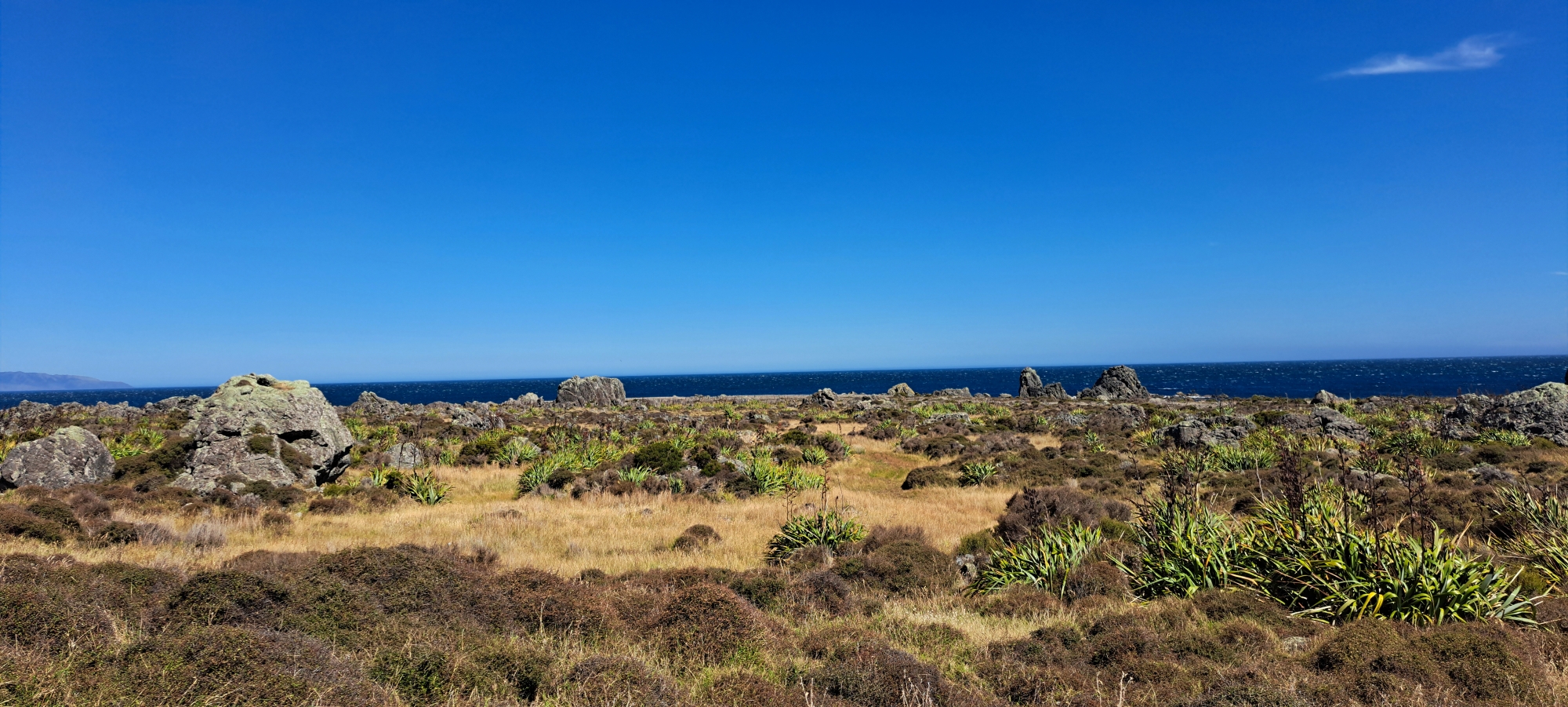
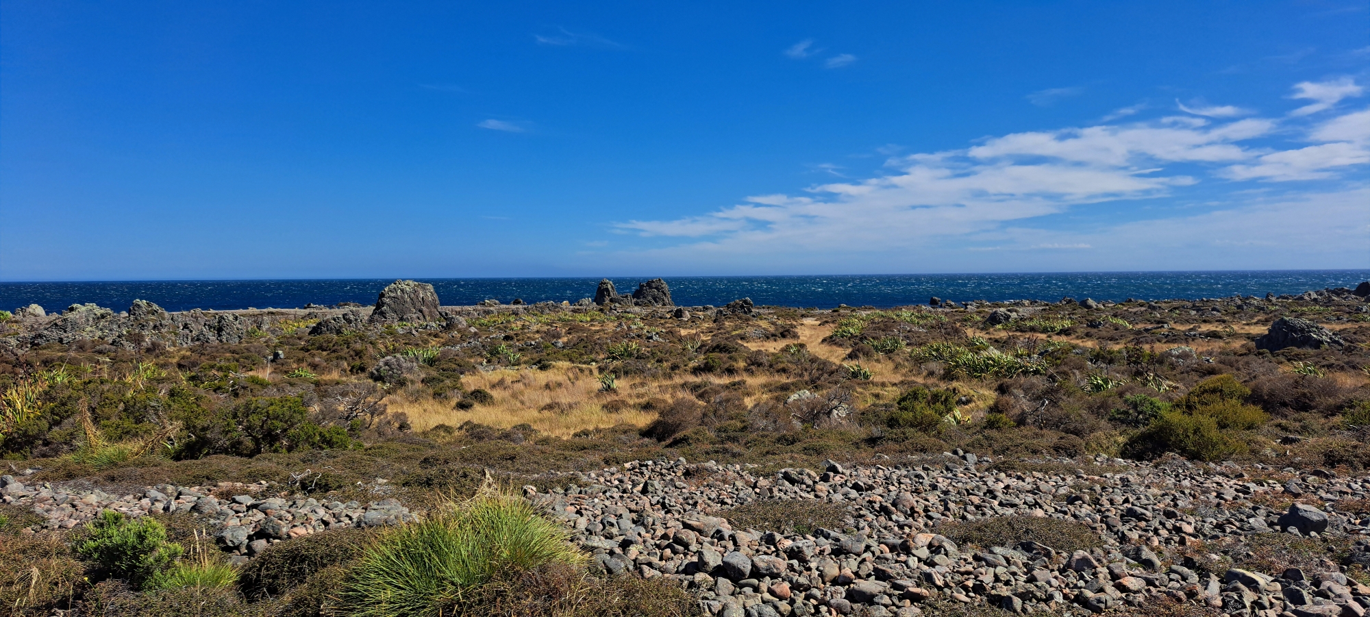
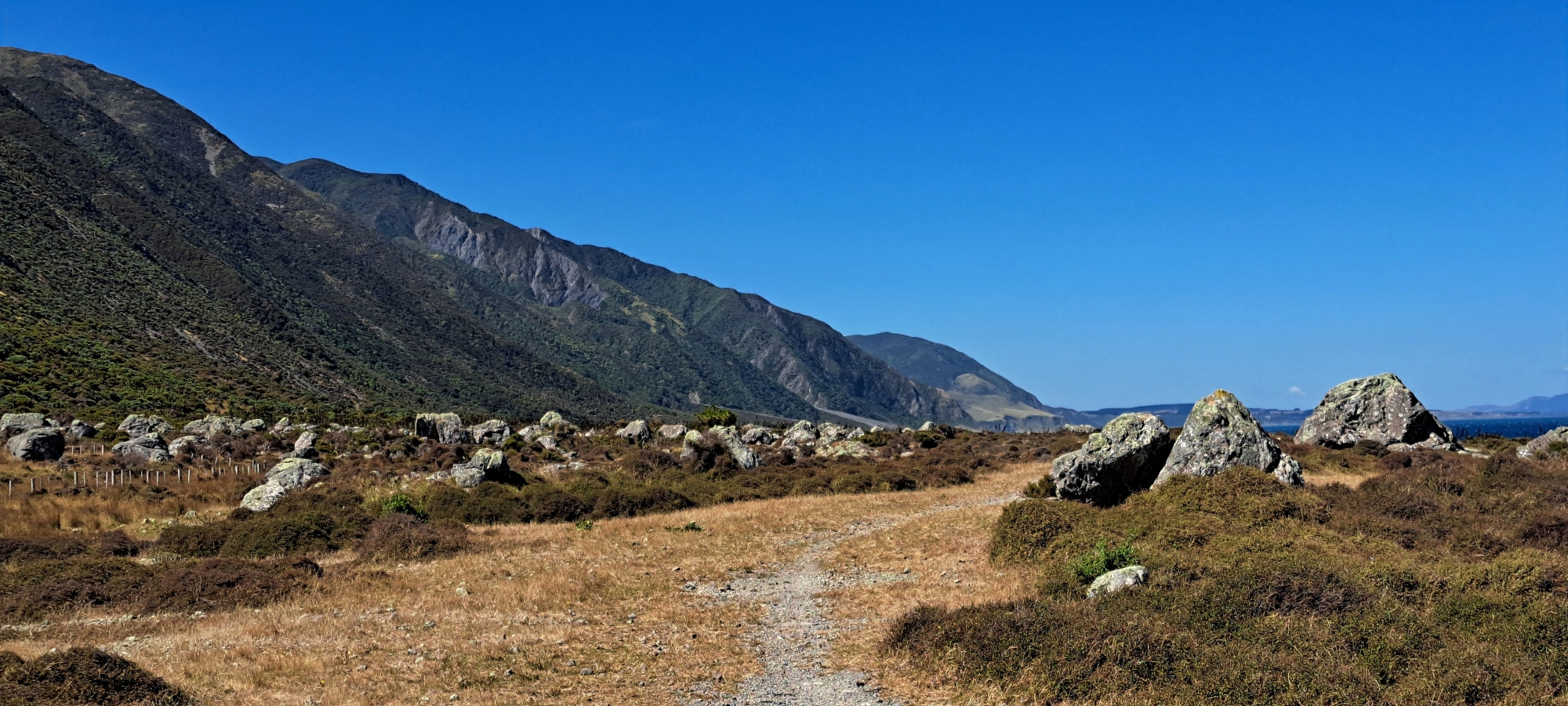
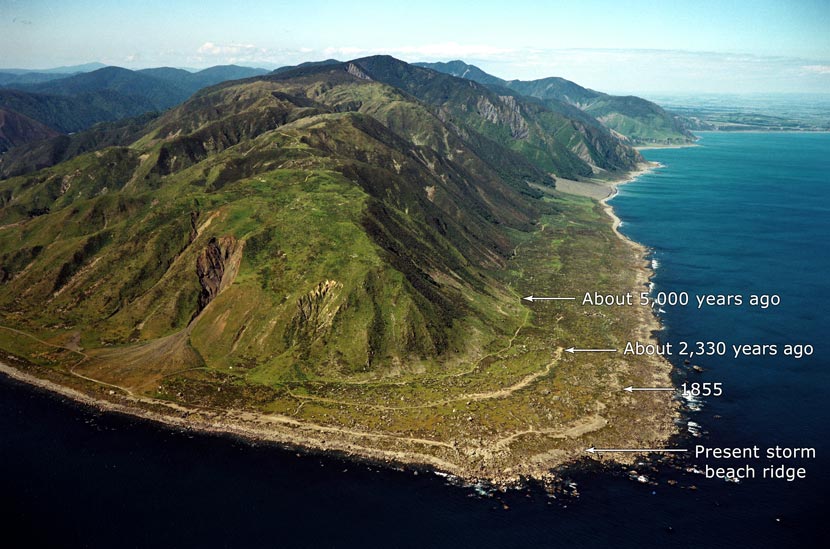 The Turakirae Head Scientific Reserve is a remarkable natural area located on the southern coast of Wainuiomata, near the mouth of the Ōrongorongo River. Known for its unique geological and ecological features, the reserve is a site of both scientific and cultural significance. It is most famous for its series of earthquake-raised terraces, which provide a visible record of tectonic uplift caused by major earthquakes over the past 7,000 years. These terraces are considered one of New Zealand’s most significant coastal geological features, offering a glimpse into the region’s dynamic seismic history.
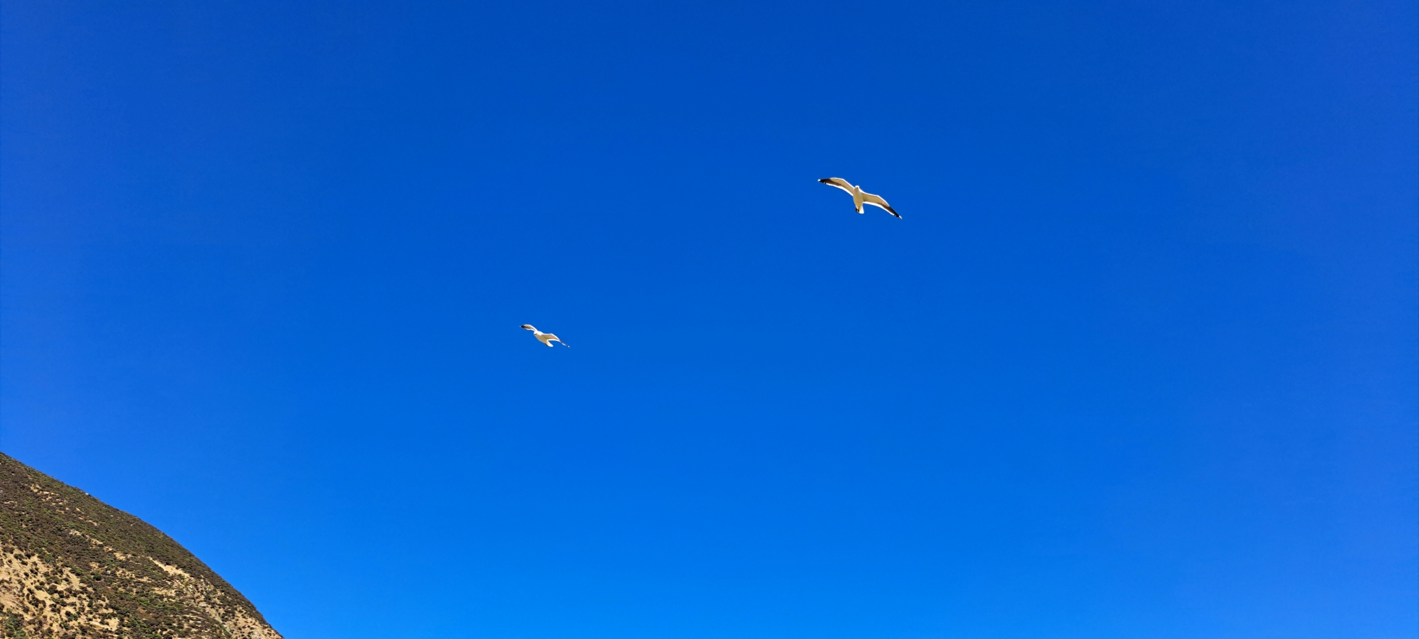
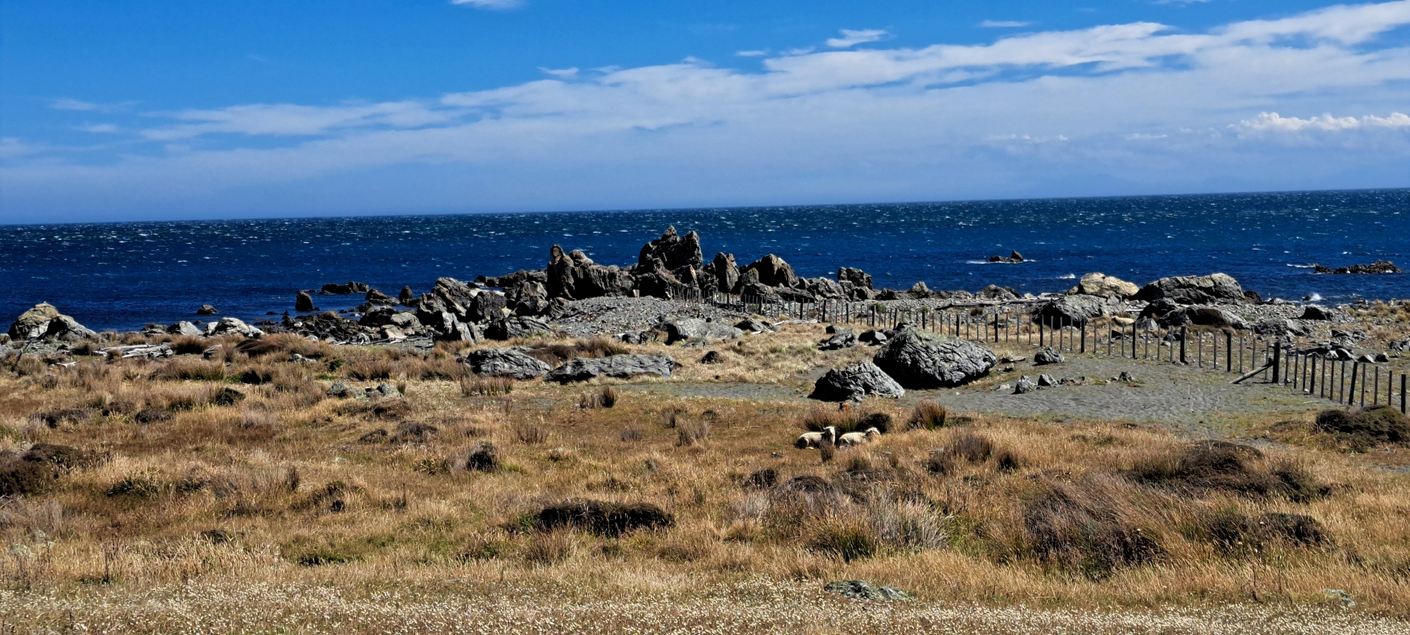
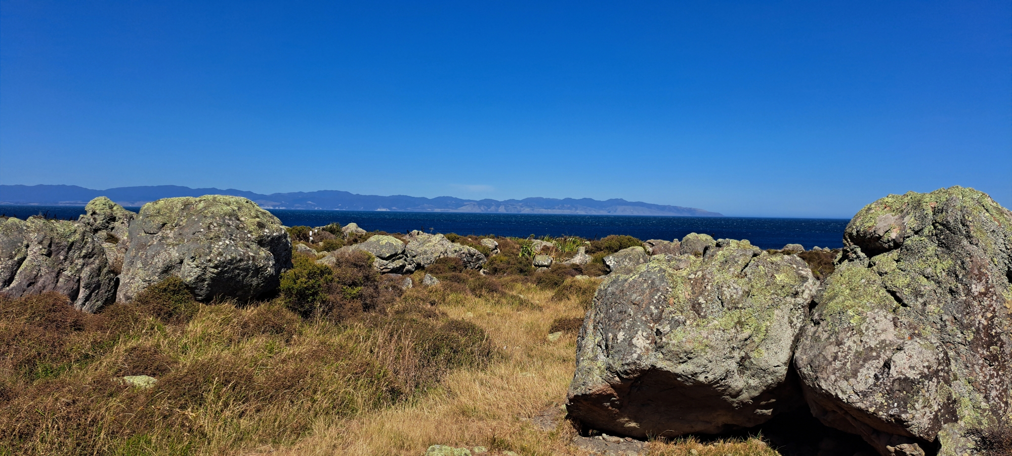
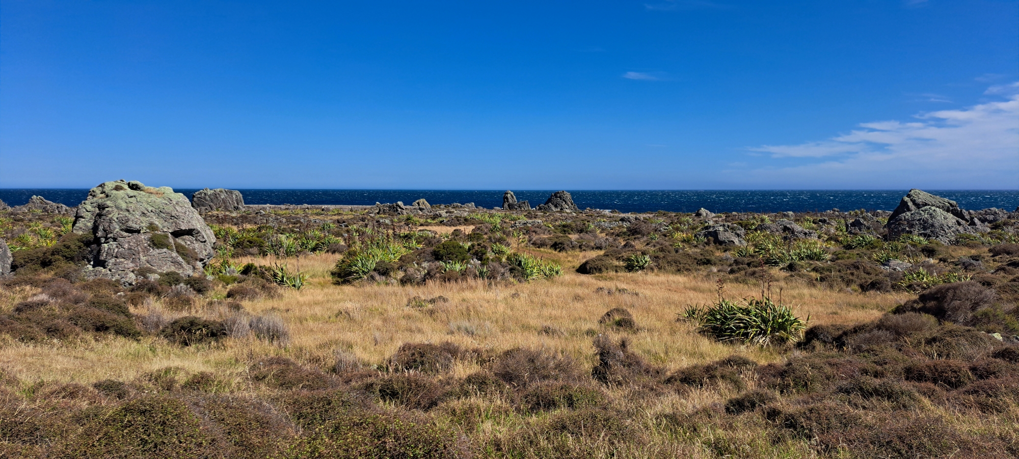
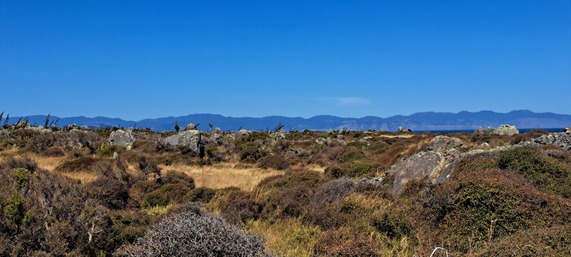
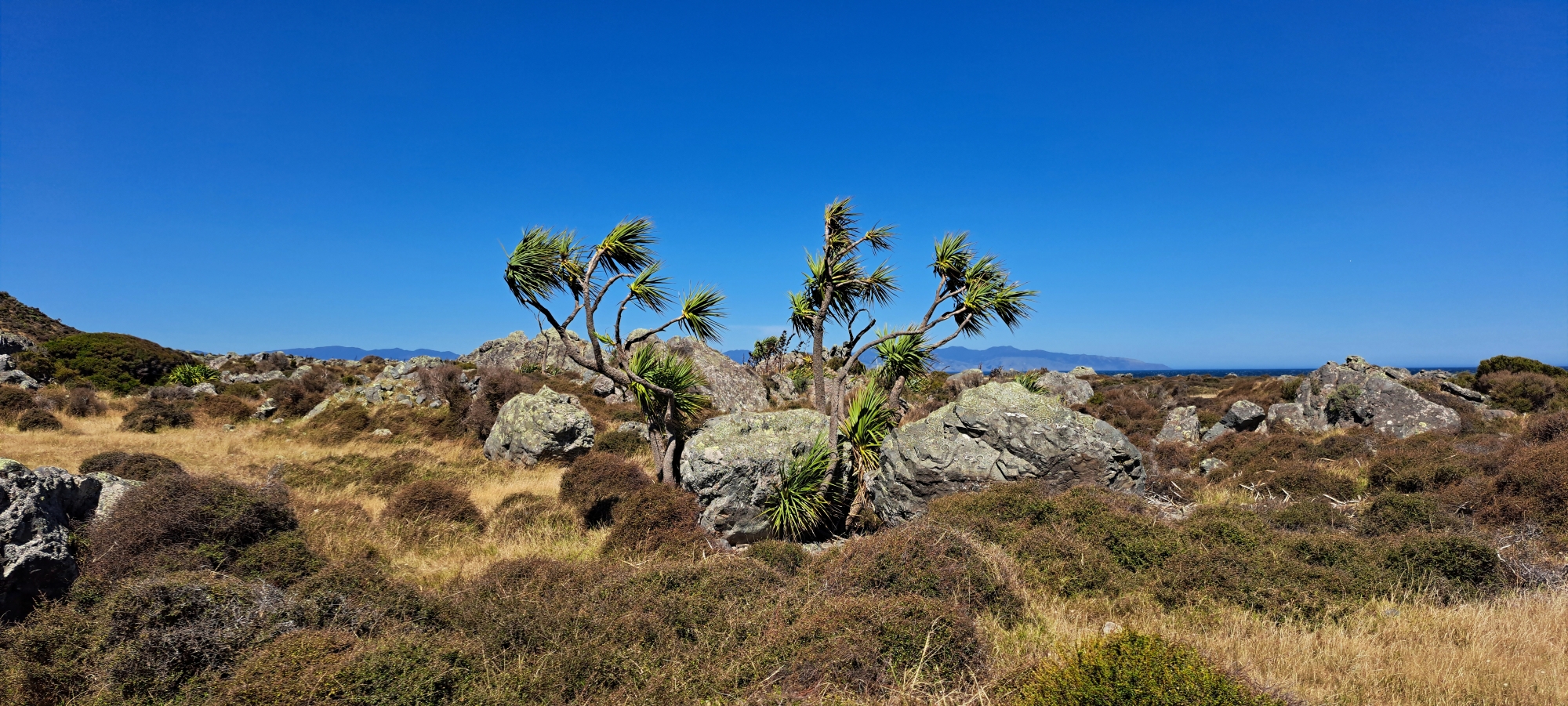
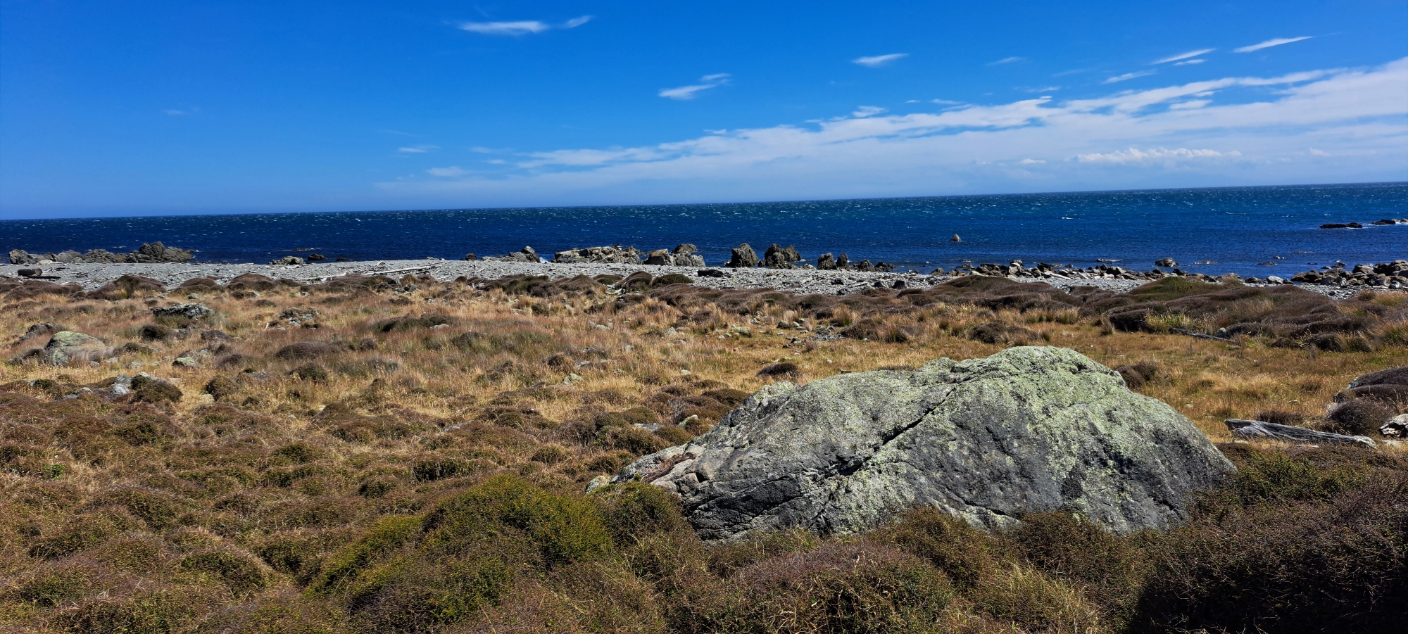
The reserve is also home to a thriving New Zealand fur seal colony, which inhabits the rocky coastline. The area supports diverse plant and bird life, with native species adapted to the rugged coastal environment. The reserve’s remote and wild landscape is both dramatic and serene, with sweeping views of Cook Strait and, on clear days, the South Island.
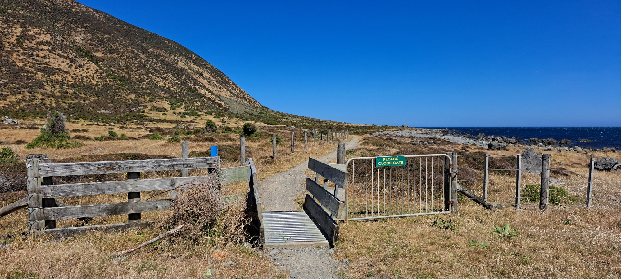
Turakirae Head is a popular spot for outdoor enthusiasts, often explored via the Wild Coast Track. The reserve can be accessed from Coast Road in Wainuiomata or from Ocean Beach in the Wairarapa, though the walk from Ocean Beach is significantly longer than the Wainuiomata route.
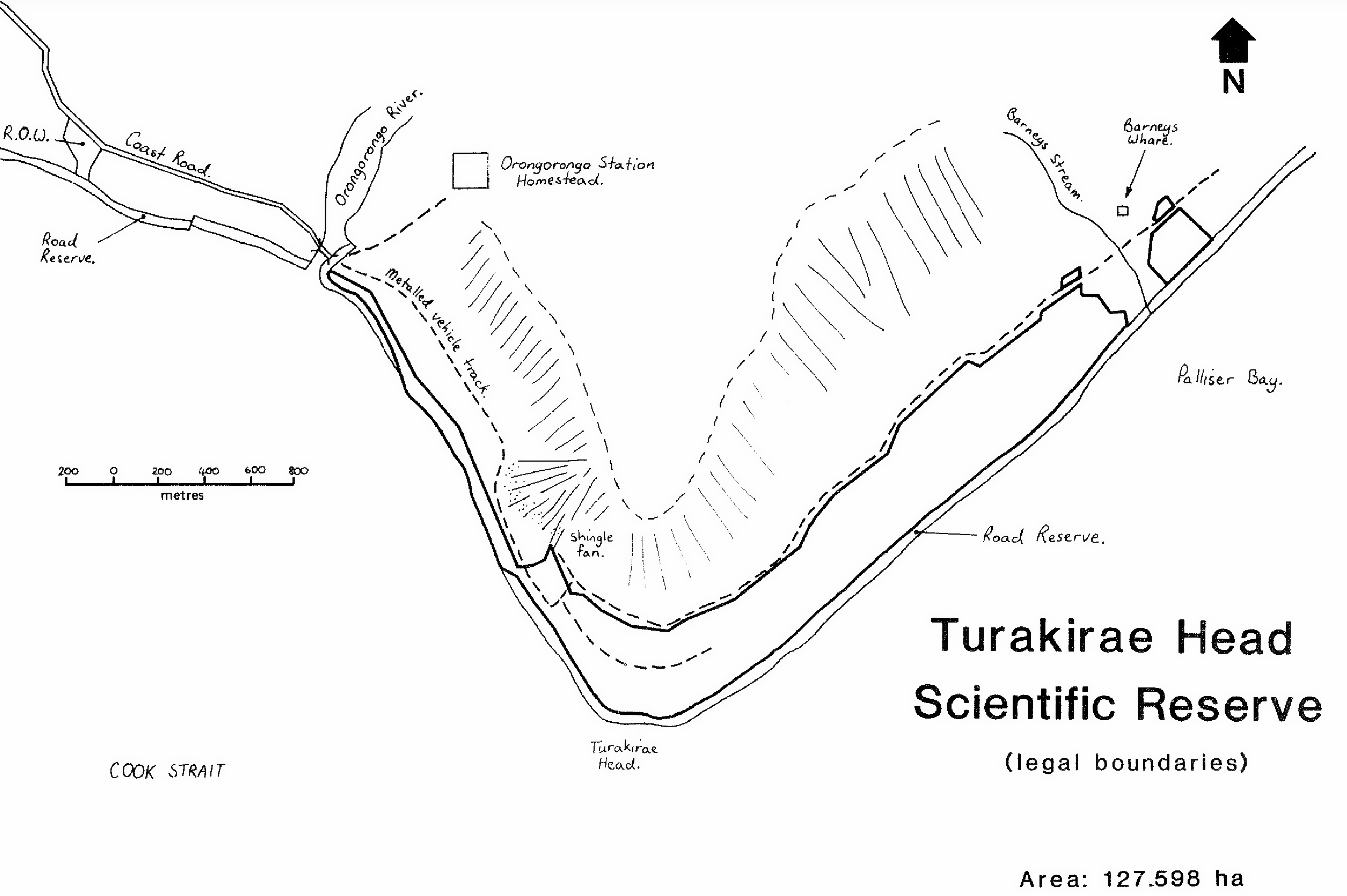 The perimeter of the scientific reserve is Cook Strait to the south, Palliser Bay to the east, the mouth of the Ōrongorongo River to the west, and the vehicle track at the base of the Remutaka range. Just below and on the hillsides is private land belonging to the Ōrongorongo Station.
The primary objective of the reserve’s management is to protect its unique geological features, including the best example of tilted, raised beach ridges in New Zealand. The reserve also provides protection for the largest non-breeding colony of New Zealand fur seals on the Wellington coast, two rare lizard species, a small locally-distributed freshwater shrimp, diverse plant life, and a sequence of vegetation and soils across the raised beach ridges of different ages.
To support conservation efforts, it has been recommended that the reserve be fully fenced on the landward side after the current grazing lease ends. At present, sheep are preventing the regeneration of shrubs beneath the karaka forests and manuka shrubland, while cattle continue to encroach on the wetlands.
Additionally, it is proposed that the reserve’s boundaries be expanded to include the karaka-mixed forests on the slopes to the east of Barney’s Whare, as this type of forest is not currently represented in other mainland reserves within the Wellington region.
Walks
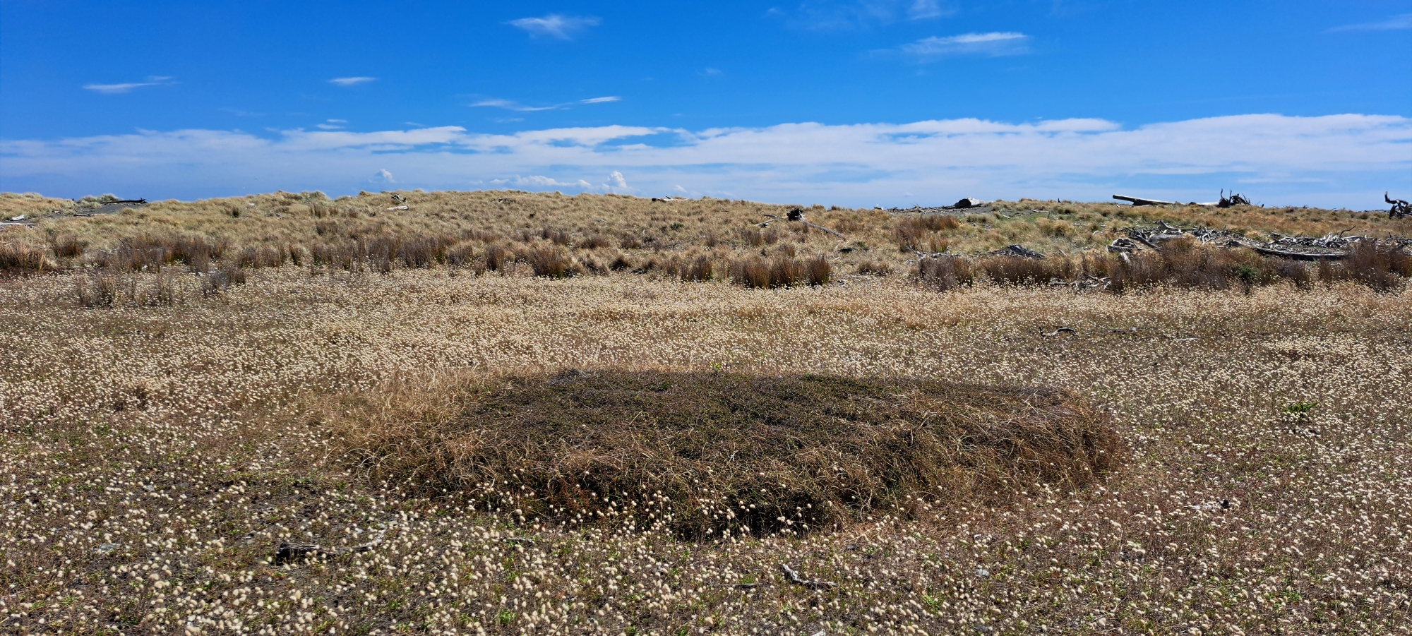
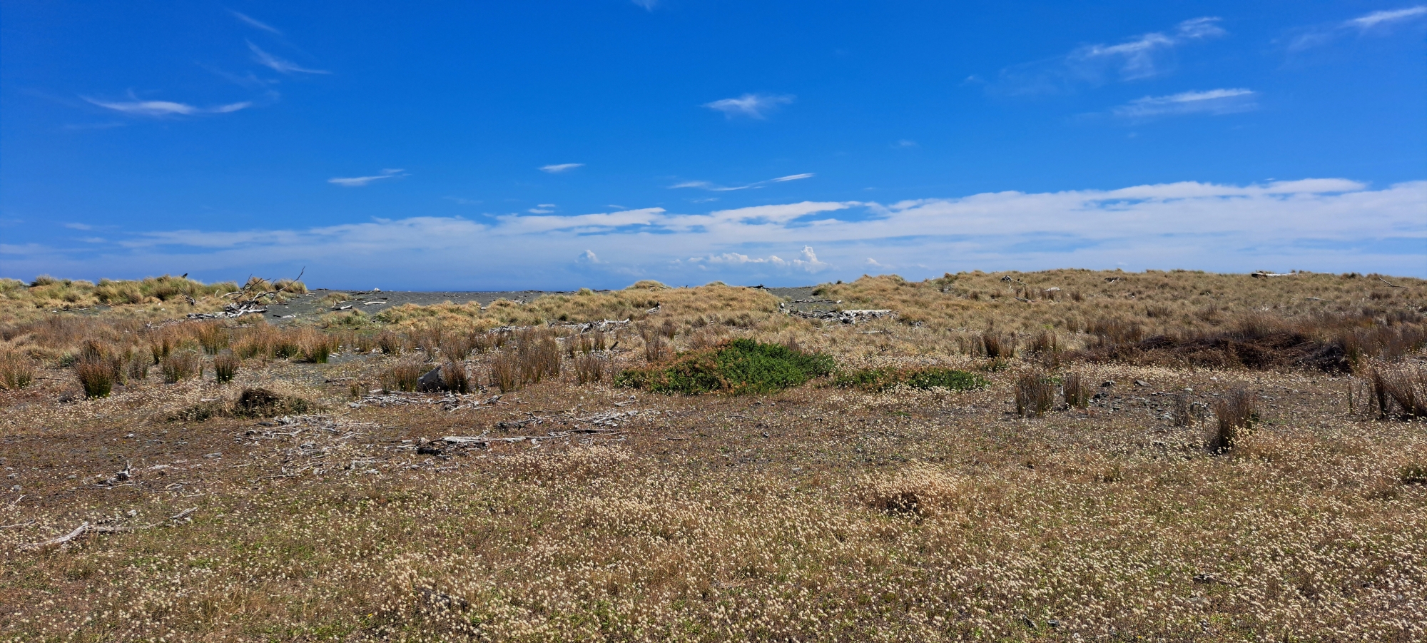
Turakirae Head Scientific Reserve offers a smaller and wilder group of walks than the larger regional parks, but it is one of the most dramatic coastal walking areas near Wainuiomata. The reserve is reached from the end of Coast Road, beyond the Ōrongorongo River, and is best known for its earthquake-raised beaches, boulder fields, exposed Cook Strait coastline, native wildlife, and the largest New Zealand fur seal colony in the Wellington region.
Wild Coast Track
The Wild Coast Track is the longer coastal route through the Turakirae Head landscape, linking the Wainuiomata coast with the southern Wairarapa coastline. It forms part of the Remutaka Cycle Trail and follows a rugged, exposed section of coast past Turakirae Head, raised beaches, boulder fields, seal habitat, and open Cook Strait views. This is a more demanding route than the short walk to the seal colony and is better suited to walkers or riders prepared for distance, rough ground, weather exposure, tides, and remote coastal conditions.
Turakirae Head Walk
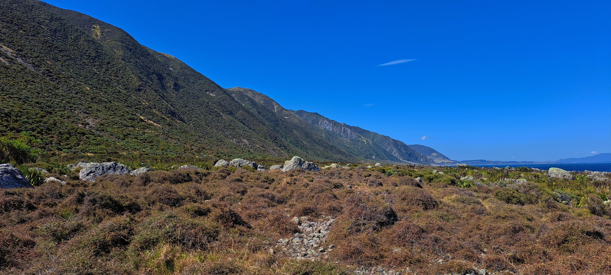
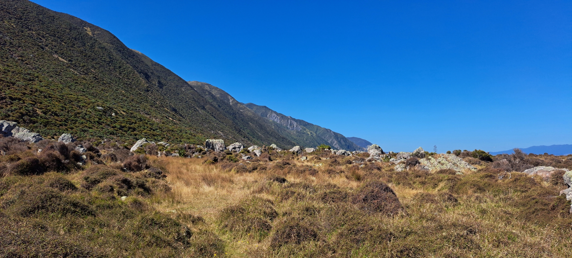
Turakirae Head Walk is the main route into the scientific reserve. Starting near the public car park before the end of Coast Road, it crosses the Ōrongorongo River bridge and follows the seaward side of the fence across private station land before reaching the reserve. The route is open, exposed, and coastal, with wide views along the Wainuiomata coastline and towards the Remutaka Range.
Fur Seal Colony Walk
The Fur Seal Colony Walk continues towards the rocky headland where New Zealand fur seals haul out, especially during winter. It is one of the main reasons people visit Turakirae Head, but walkers need to keep well back from the seals, avoid getting between a seal and the sea, and treat the area as a wildlife refuge rather than a viewing platform.
Raised Beaches Walk
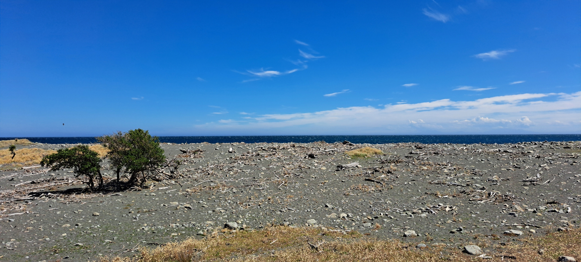
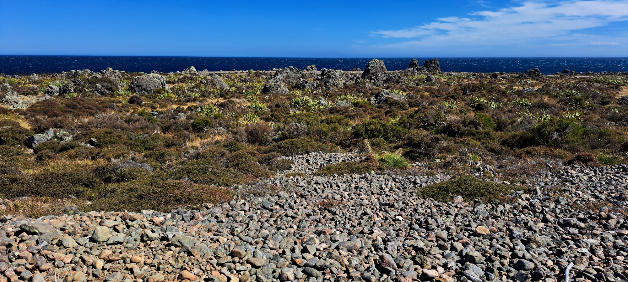
The Raised Beaches Walk explores the internationally significant earthquake-raised beach ridges at Turakirae Head. These old shorelines record repeated uplift events over thousands of years, including the 1855 Wairarapa earthquake. The walk is especially interesting for geology, with terraces, storm ridges, boulders, old shore platforms, and fossil evidence showing where the sea once reached.
Boulder Coast Walk
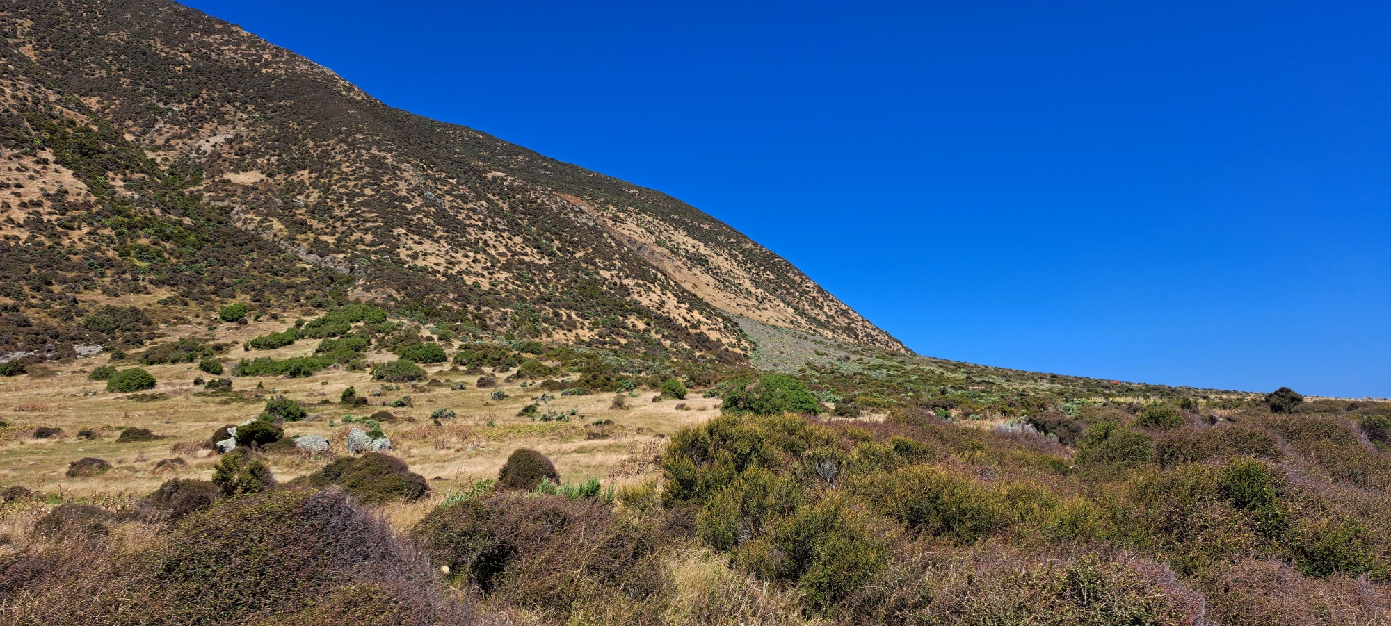
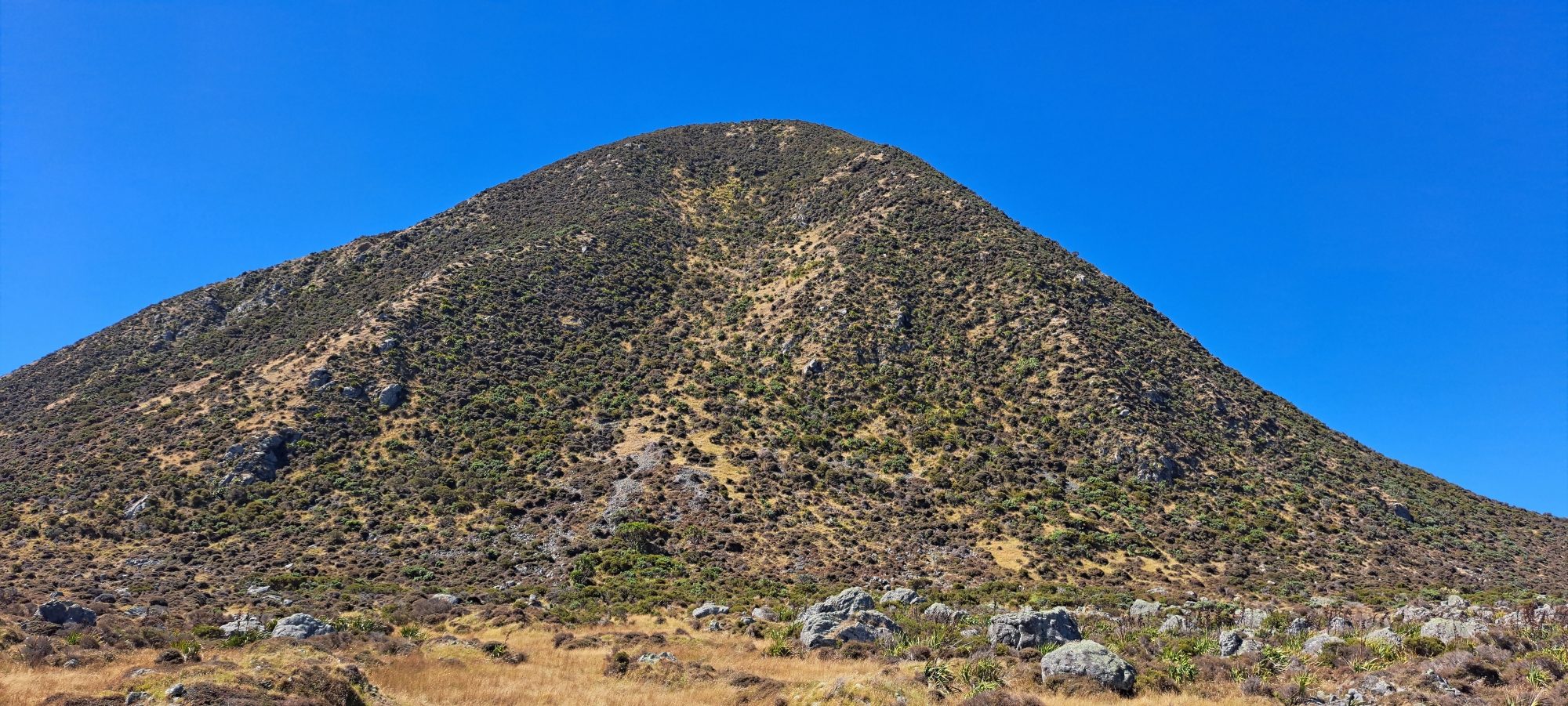
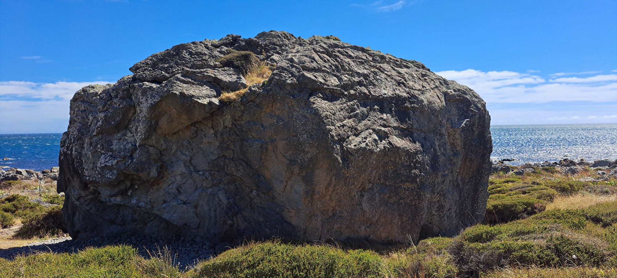
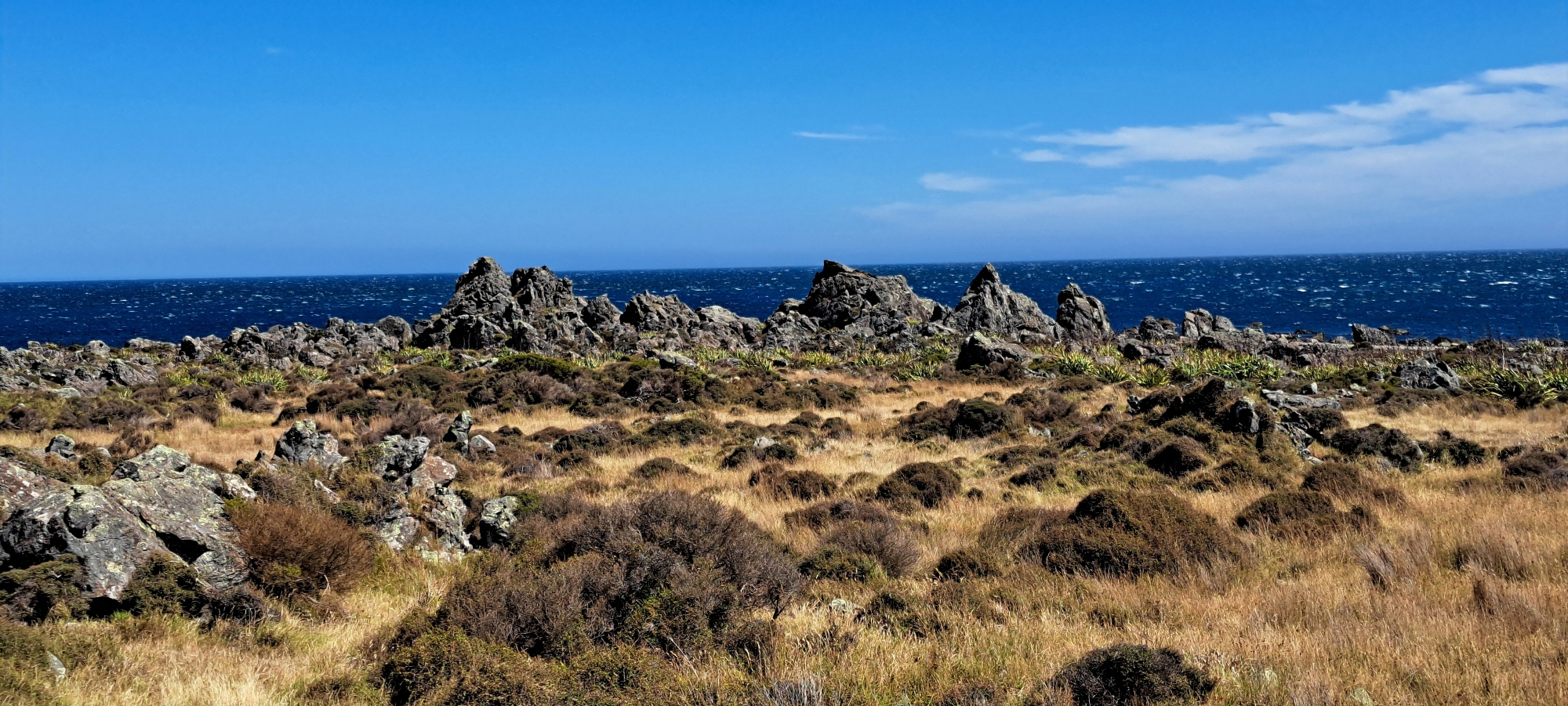
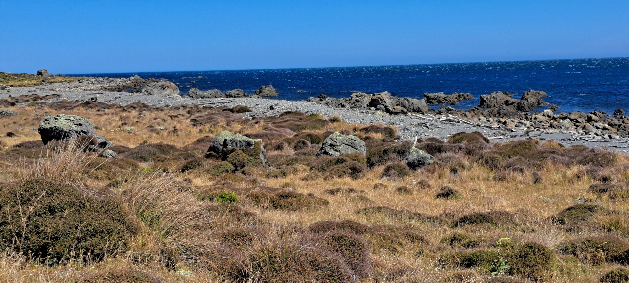
The Boulder Coast Walk follows the rougher shoreline through the dramatic rock and boulder landscape near Turakirae Head. It is not a formal loop, but it gives walkers a close-up experience of the rugged coastal setting, with steep hills rising behind the reserve and Cook Strait open to the south.
Ōrongorongo River Mouth Walk
The Ōrongorongo River Mouth Walk is the first part of the Turakirae Head approach and is useful as a shorter option for visitors who do not want to continue all the way to the headland. It takes in the lower Ōrongorongo River, the bridge area, open coastal flats, and the start of the exposed southern coastline.
Corner Creek / Palliser Bay Coastal Route
The Corner Creek / Palliser Bay Coastal Route is a much longer and more remote coastal option beyond Turakirae Head. It follows the wild southern Wairarapa coastline towards Palliser Bay and is better suited to experienced walkers or trampers who understand the exposure, distance, weather, tides, and lack of facilities along this part of the coast.





DISCUSSION