
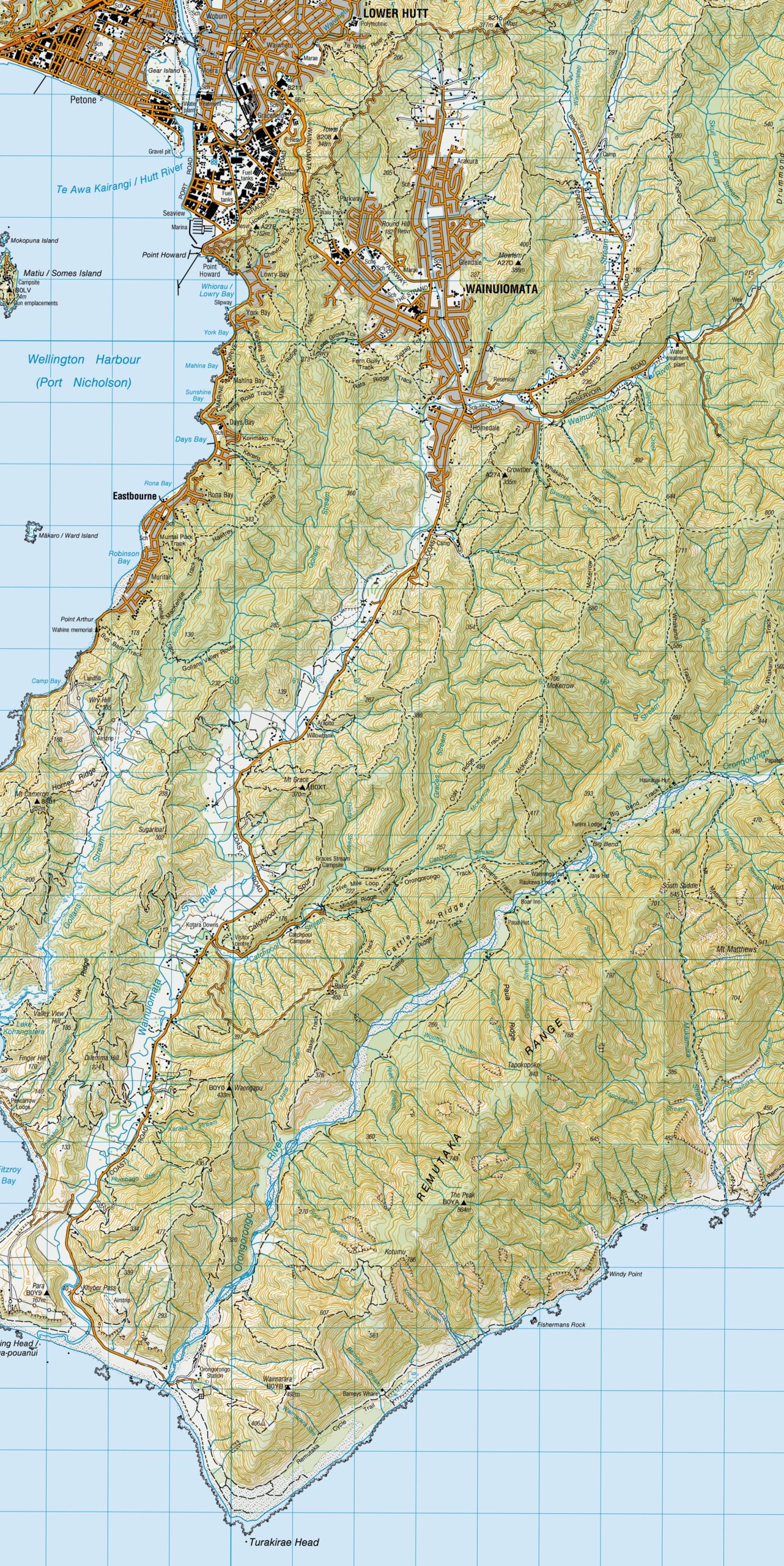
Wainuiomata topographical maps from 1950 to 2019. These maps show tracks and other features that have changed over the...
Wainuiomata: Maps & Plans
A collection of maps and plans spanning several decades, showcasing different aspects of Wainuiomata’s topography and historical development. Included are maps showing old tracks, along with a number of early plans for Wainuiomata, some of which were never brought to fruition.
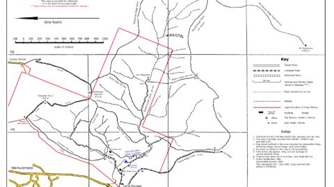
This Camp Wainui map highlights numerous tracks throughout the area, along with creeks and natural features such as waterfalls.
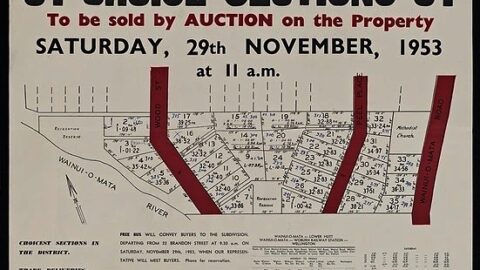
The Faulkes subdivision, Wainui-o-mata Road, Peel Place and Wood Street, Wainui-o-mata : 31 choice sections. H. Ernest Leighton &...
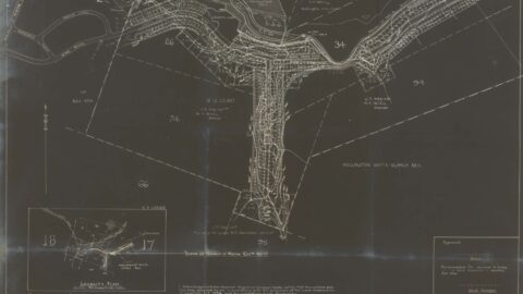
Did you know in 1948, plans for the Hine Road and Sunny Grove area had Hine Road extend all...
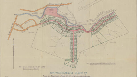
A Norman Willis subdivision plan for the Hine Road and Sunny Grove area. This map shows Hine Road extending...
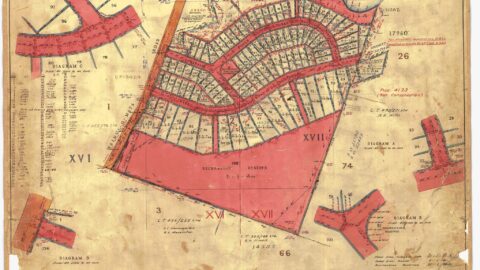
The surveyed subdivision plan from 1945 outlines the development of Hine & Homedale Road, as well as Poole Crescent.
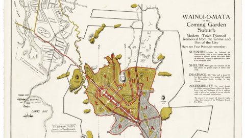
Explore a 1928-29 proposed layout for Wainuiomata, revealing early plans for a garden suburb, road tunnel, reserves, housing, etc.
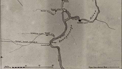
Digital version of an old map, showing the pipeline from the weir to the tunnel, in the Orongorongos, circa...
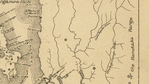
This 1916 Wainuiomata map is part of a larger Wellington District Map. It includes its own index, featuring many...
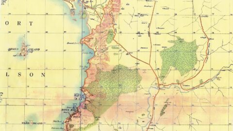
A 1900 Wainuiomata map showing Swamp Road, flax harvesting, Sinclair land later owned by John Wakeham, huts, the river,...
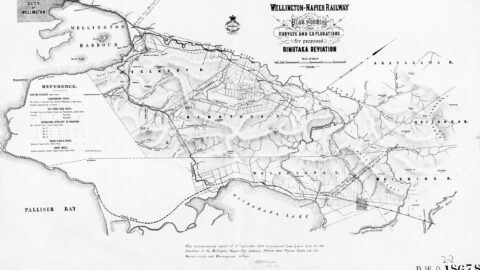
Map (9th September 1899) showing the deviation of the Wellington Napier Railway via Wainuiomata and Wairongomai Valley.
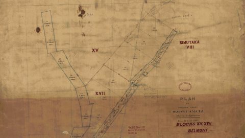
Learn about the history of Sinclair Valley in Wainuiomata before it was renamed Waterworks Valley then Reservoir Valley.
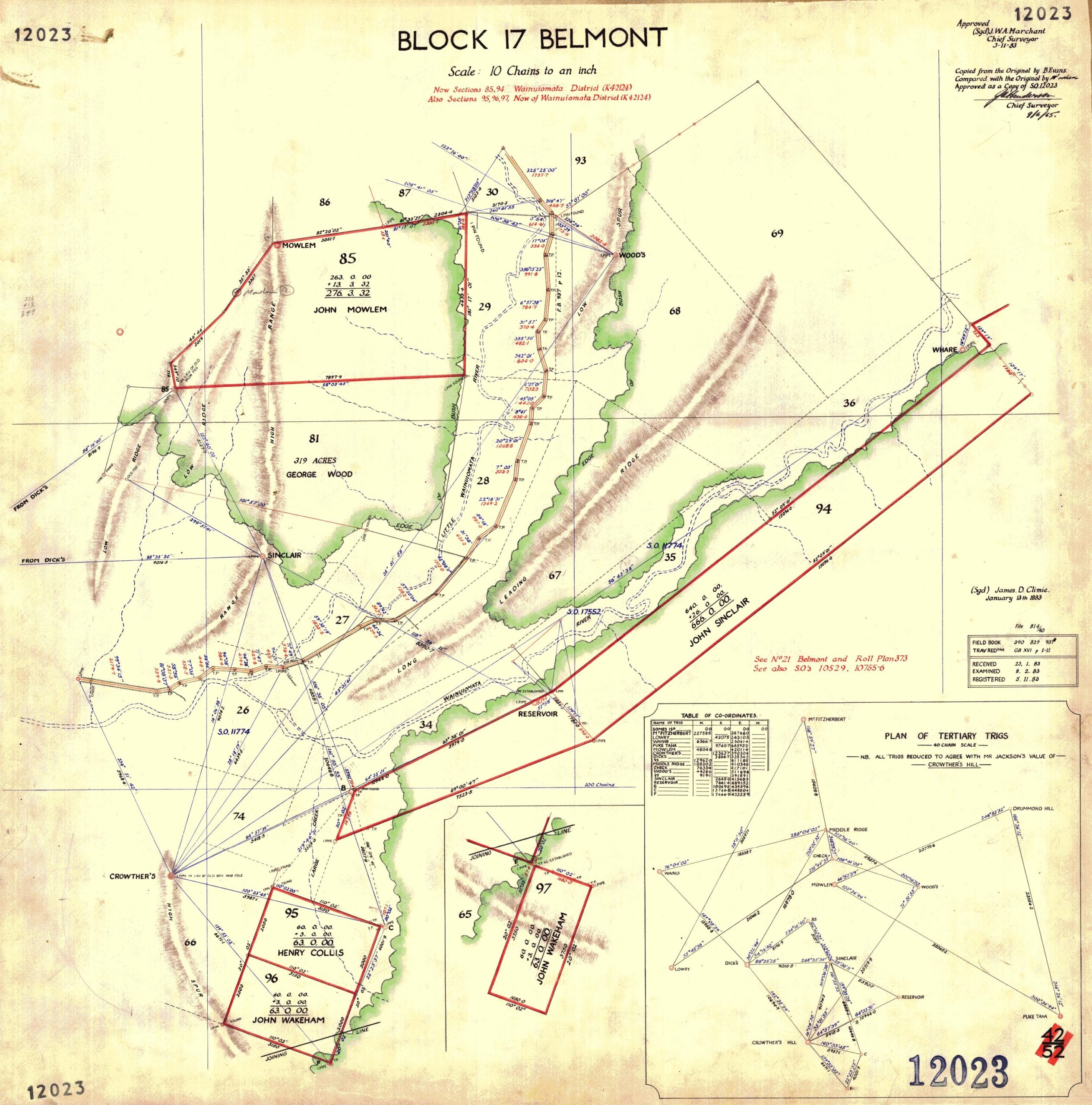
This map (Block 17 Belmont) made on the 9th of June, 1963 is an approved copy of a map...

This 1883 example survey section, reconstructed from field notes, uses Mt Grace on the Coast Road as a primary...
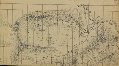
James Daniel Climie was one of the government surveyors responsible for some of the most useful early topographical mapping...
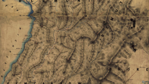
This 1882 map shows the topography of the land in Wainuiomata. It outlines peaks, ridges, rivers, homesteads, etc.
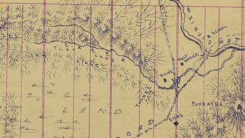
The Black Creek Tunnel, (Dicks Tunnel), was constructed in the 1880s in Wainuiomata with the accepted tender submitted by...
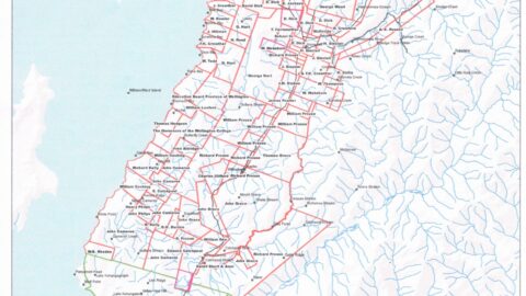
A circa 1860 Crown Grants Map showcasing the first land block purchases in Lower Hutt, Wainuiomata, and the Wellington...
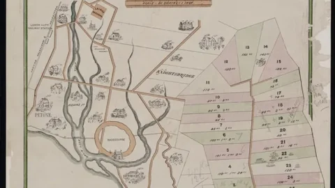
Historic survey plan of small farm settlements at Wainui-o-mata, showing the area described as part of the old Lowry...
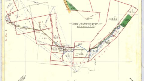
This map shows the land taken for the purposes of the Wainuiomata water supply (1881). Shown in green is...
WAINUIOMATA TOURS

Step into the wilderness of Wainuiomata and experience it for yourself. Learn more →.
WAINUIOMATA MUSEUM

Located in Wainuiomata Primary School, it is open 2pm-4pm every Sunday. Learn more →.
BUY ME A COFFEE
Support Wainuiomata.Net with a donation and help us continue to uncover local history, capture photos, drink coffee, and promote Wainuiomata.
Scan or click the code below:


Support
Make a donation and help us continue to uncover local history, capture photos, drink coffee, and promote Wainuiomata.
Scan or click the code below:
DISCUSSION