Nikau Creek flows within the confines of Wainuiomata Regional Park, and into the Wainuiomata River.
Nikau Creek is a tributary of Wainuiomata River. The creek meanders through the next gully beyond Sunny Grove, where Skerretts Creek courses through. Situated within the boundaries of Wainuiomata Regional Park, Nikau Creek descends from an approximate elevation of 141 meters above sea level. The Nikau Creek Track runs alongside the creek on level ground, but it later intersects with a largely abandoned trail. This path continues to trace the creek until reaching the rear of the valley floor.
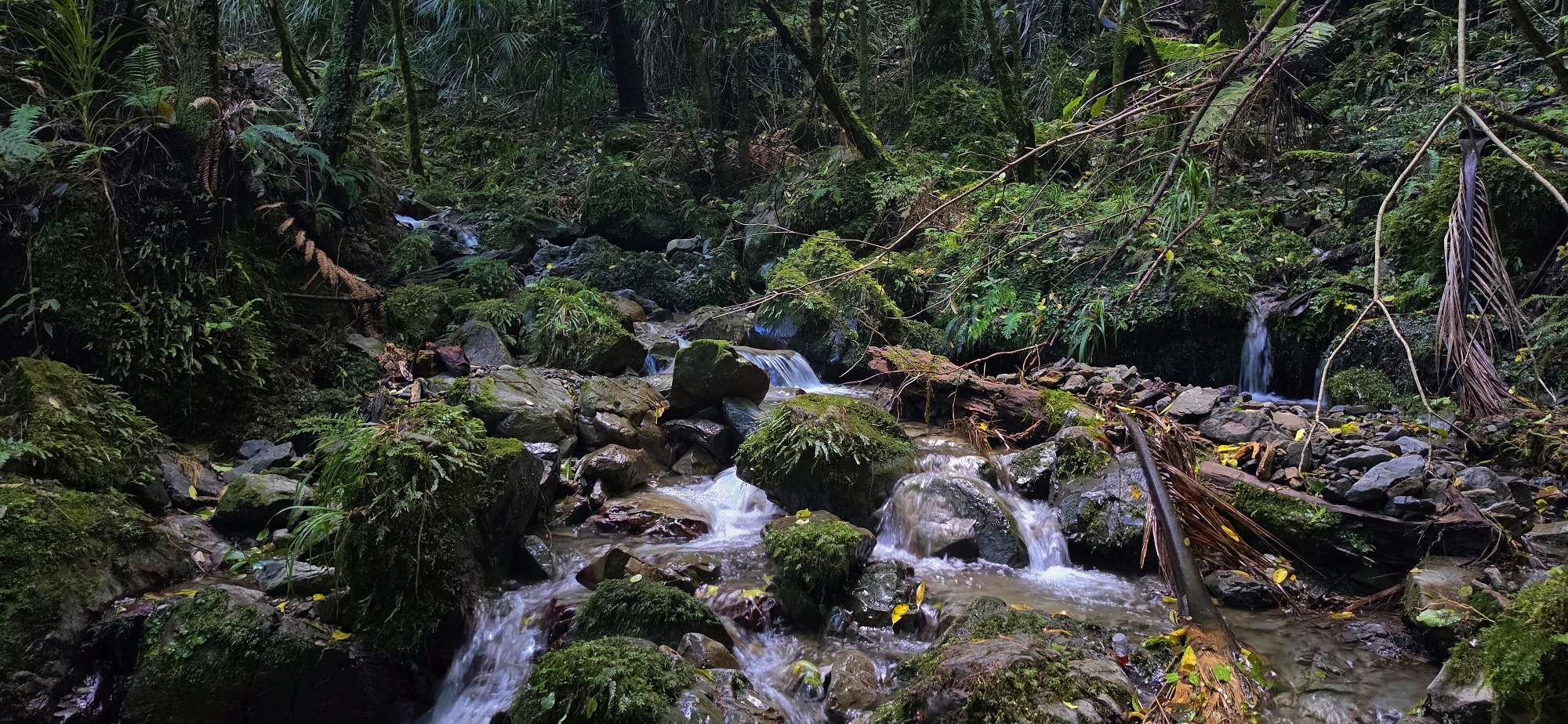
Heading uphill from there at the end of the Old Nikau Creek Track, the creek is lined with nīkau palms, which give it its name. Interestingly, the main Nikau Track and its old extension contain very few nīkau. This raises an intriguing question: was the valley and creek named by someone who ventured farther up the creek beyond the formed tracks? Or were the palms more visible in decades past because logging around 150 years ago opened up the area and exposed them?
If you continue following Nikau Creek uphill, you eventually reach a tall waterfall that is extremely difficult, if not impossible, to get around safely.


DISCUSSION