
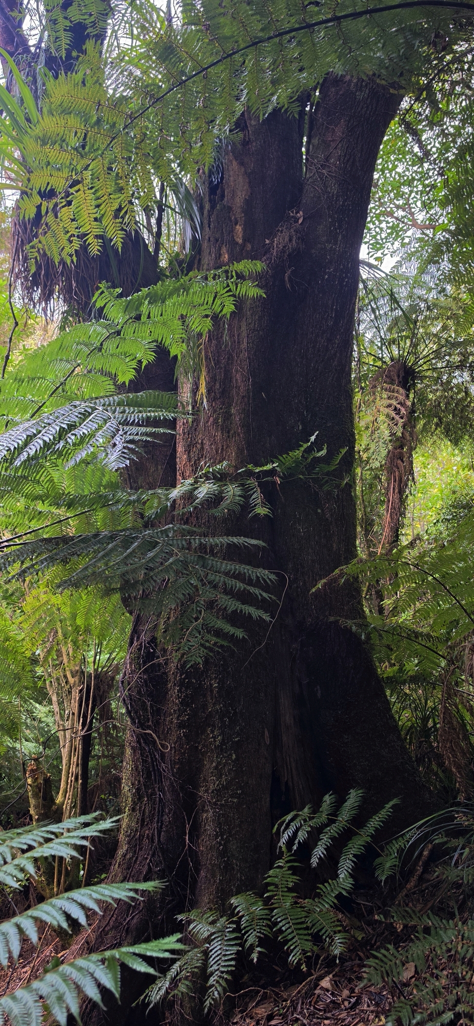
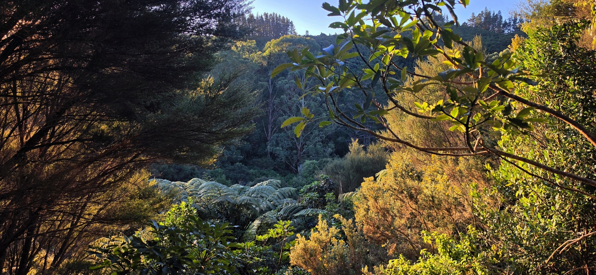
The original entrance to the old Whakanui route was eventually overtaken by gorse and replaced, but most of this track still exist.
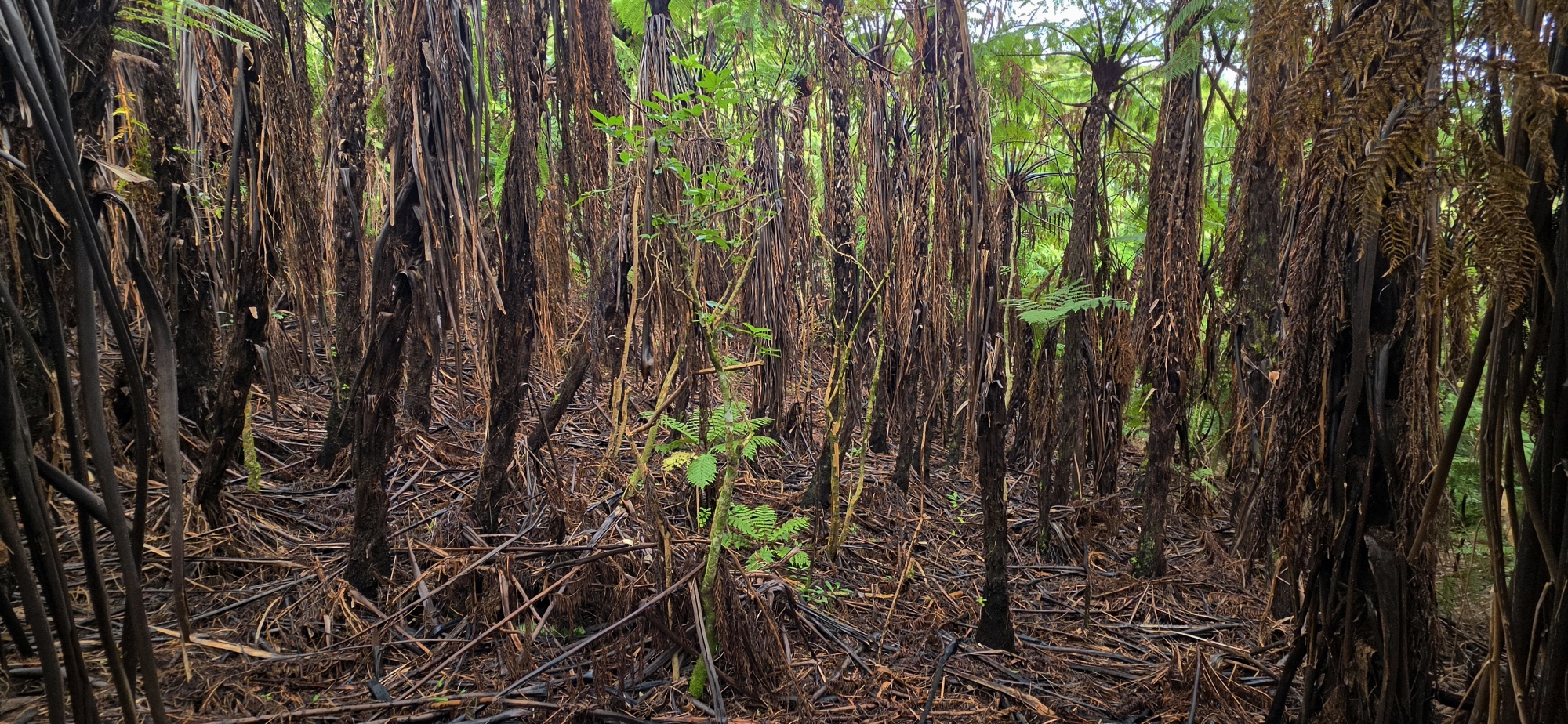
The Old Whakanui Track was the original route over the hillside before it was replaced by the present Whakanui Track. Although the surviving track now begins in Nikau Creek Gully, this was not always its only entrance. During the 1960s, an earlier route began in Reservoir Valley and climbed directly up the hillside.
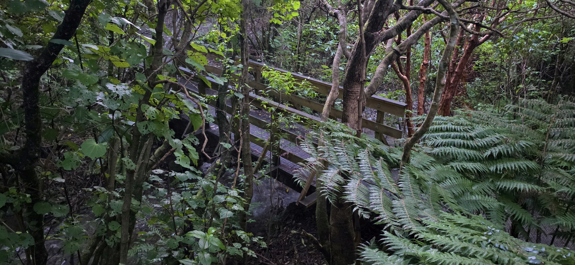 The former entrance begins on a plateau just east of Nikau Creek, near the entrance to Nikau Creek Gully. One way to reach it is by crossing Nikau Creek at the Nikau Creek Bridge. After crossing the bridge, turn right and look for a faint track. Follow this up towards the plateau area.
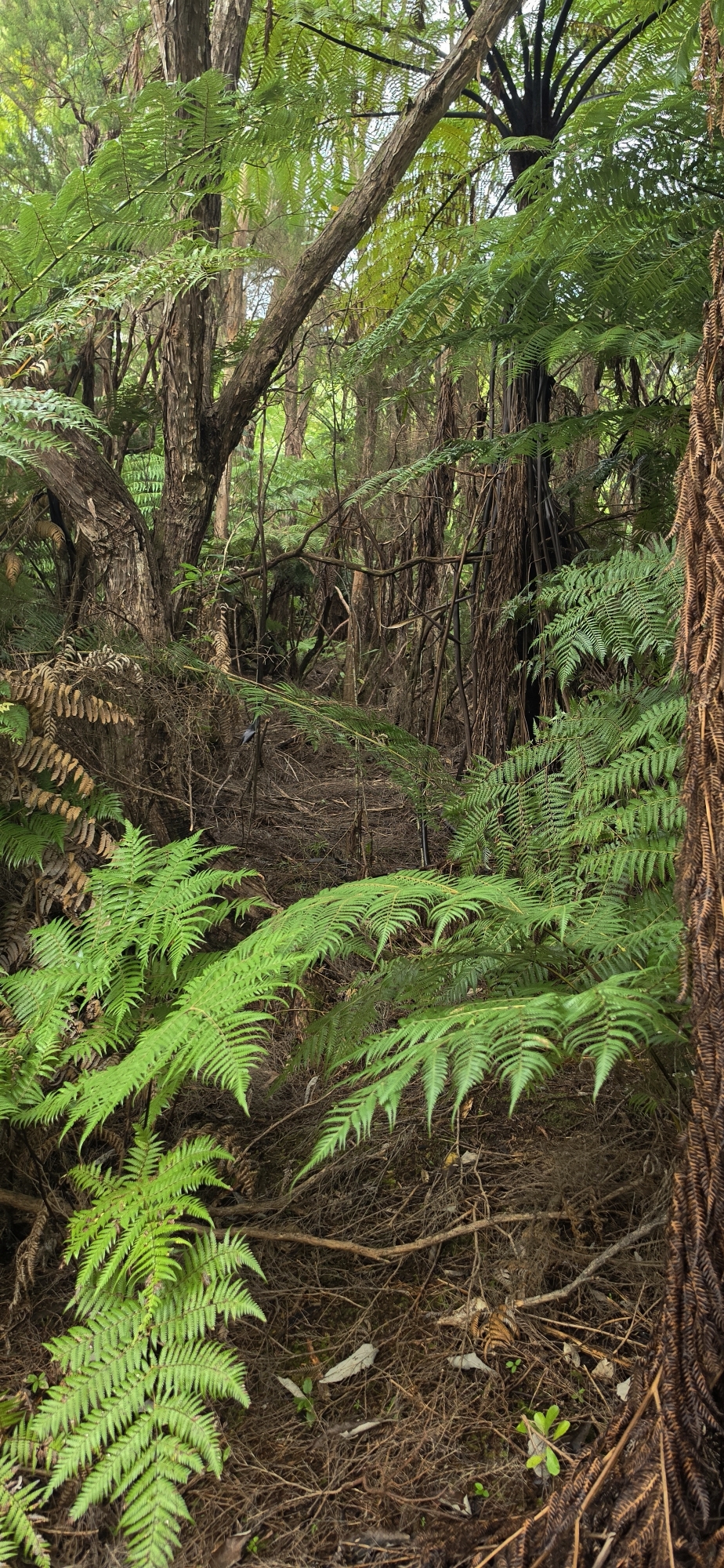
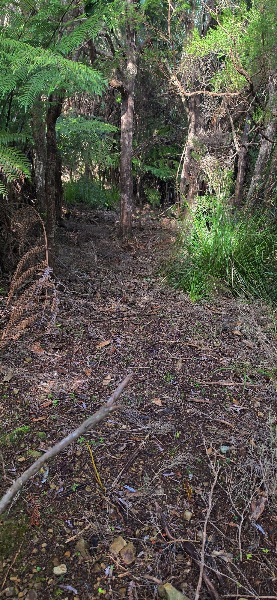
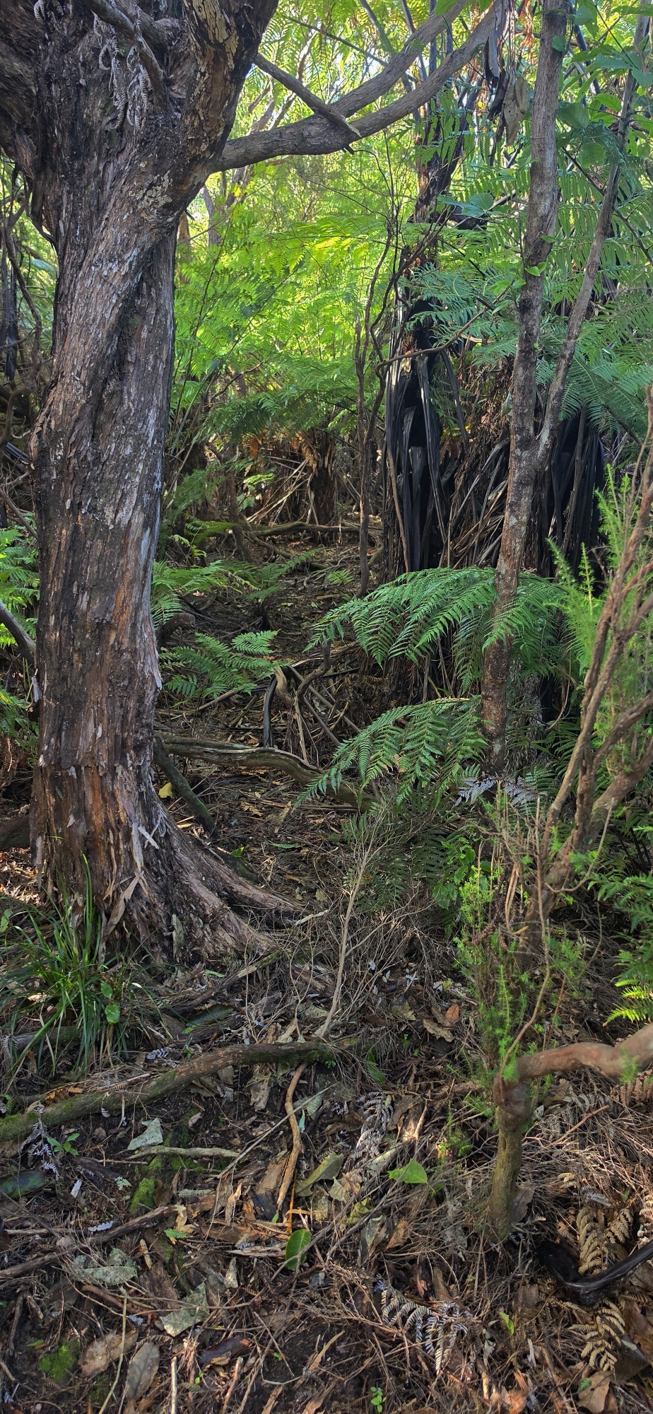
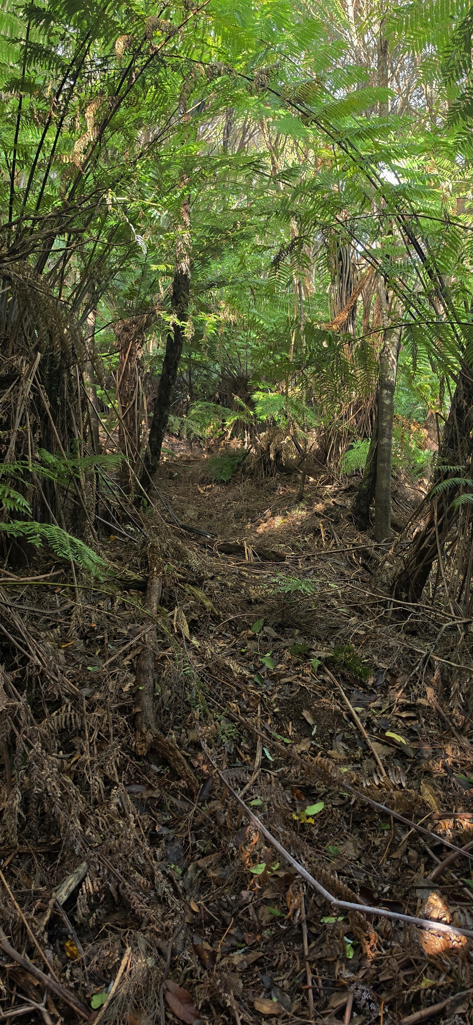
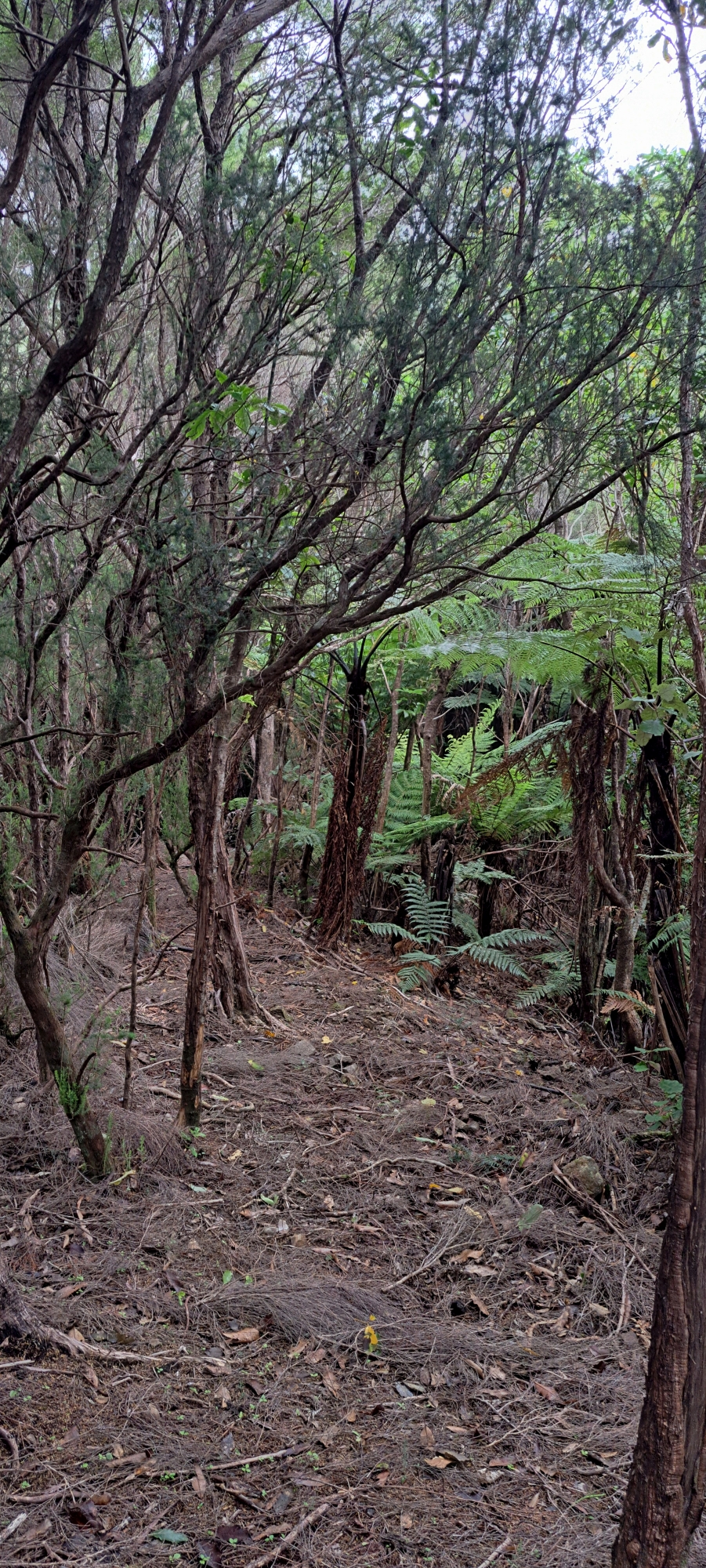
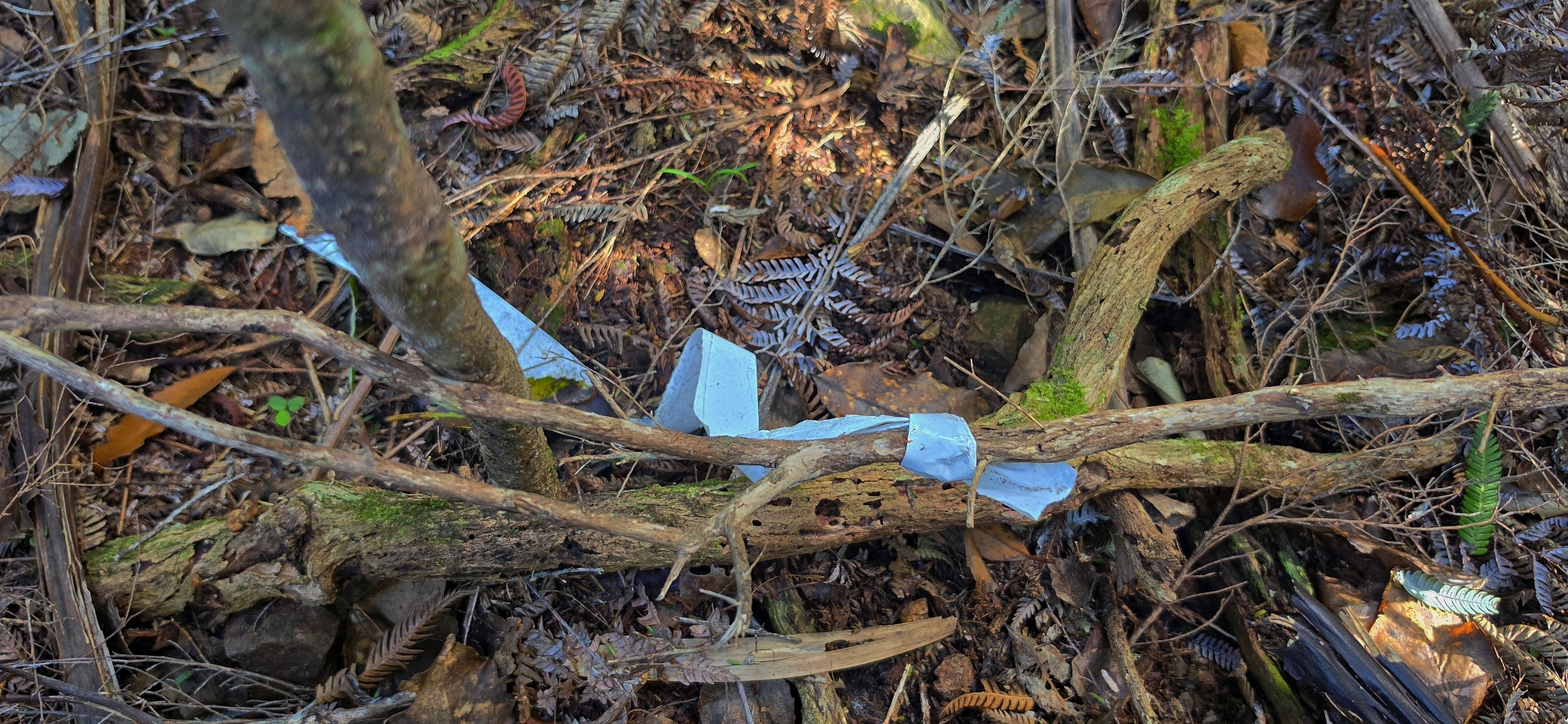
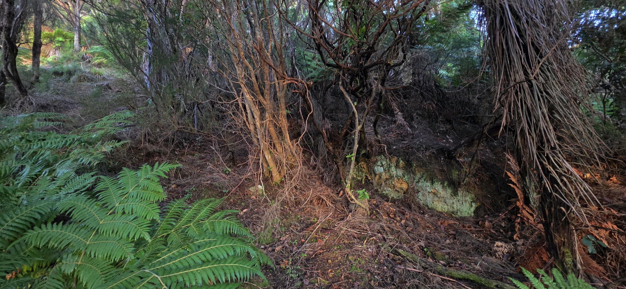 From the plateau, head towards the spur to the east. Near the lower part of the spur, but still within the same gully system, you will find an old bench-cut track climbing across the face of the spur. It then curves around onto the main spine of the spur, where you can follow the old track uphill. White ribbon markers appear from time to time and help confirm that you are still on the route.
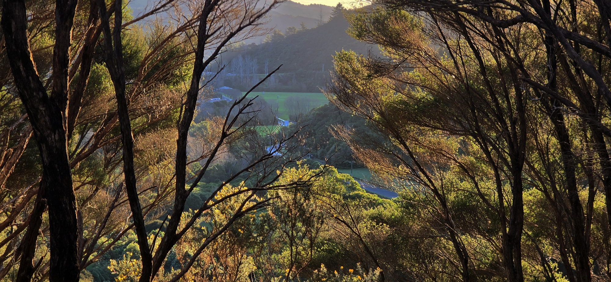
Because this spur was exposed to sunlight, it appears to have gradually become choked with gorse. During the 1970s, a new entrance was established through a more shaded area where native bush had survived. The original entrance was then abandoned, although it may later have been reused as a pest-control bait line.
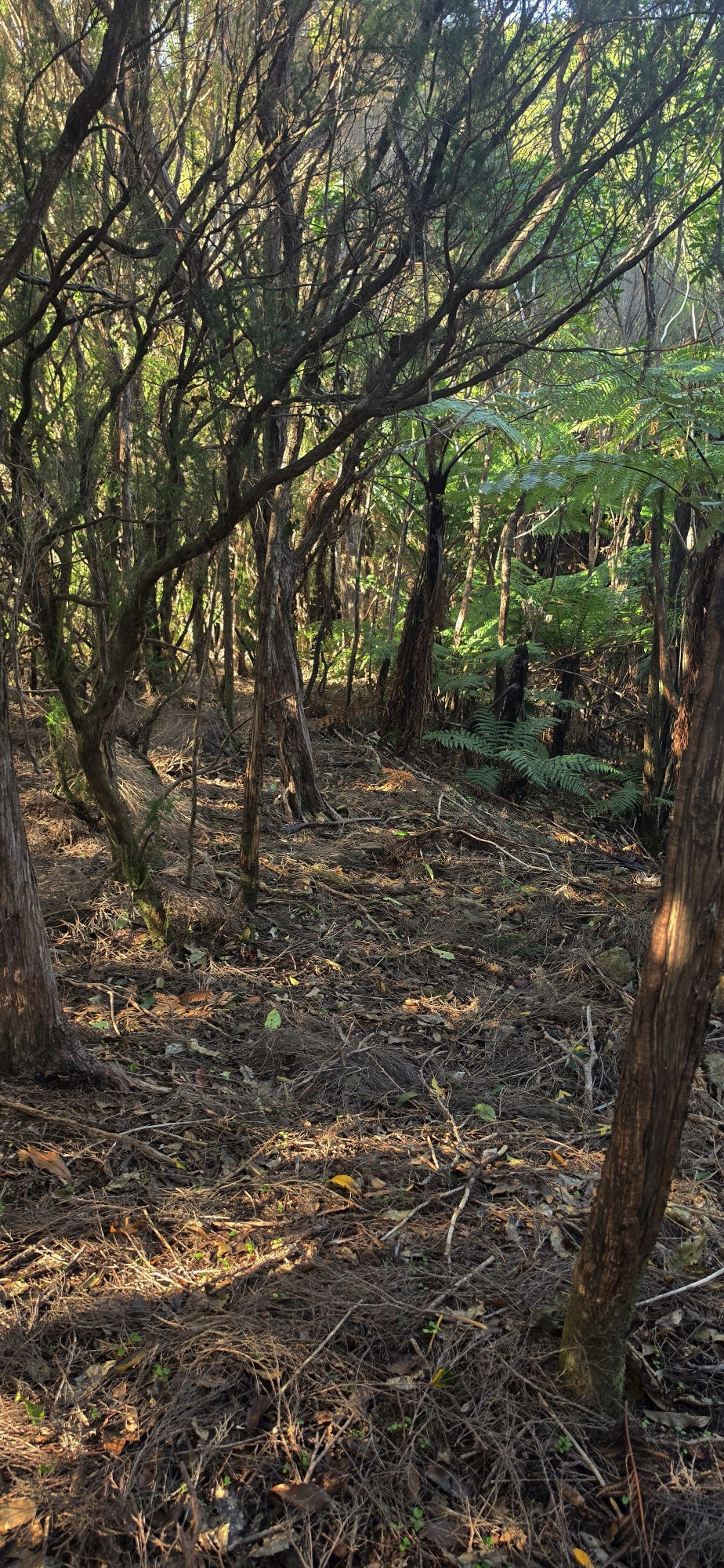
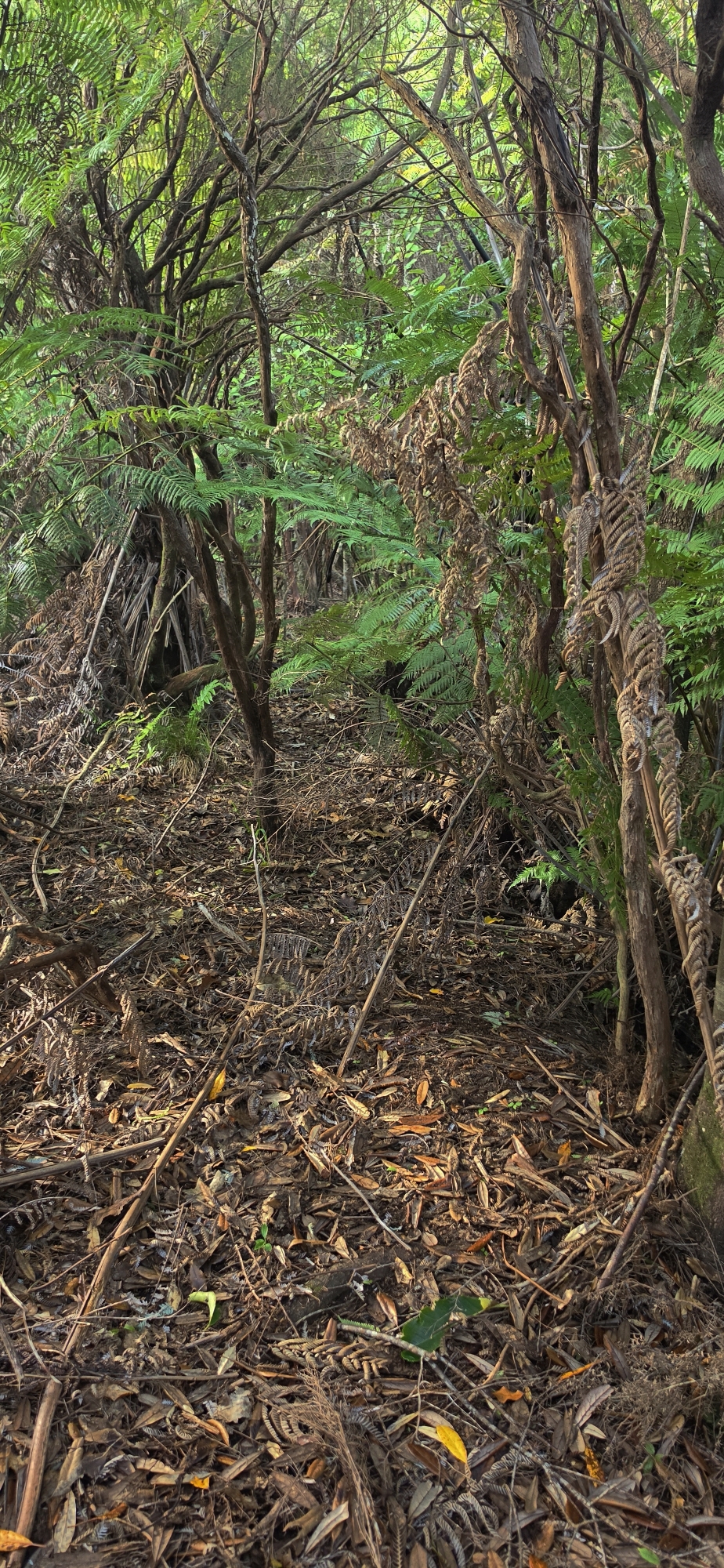
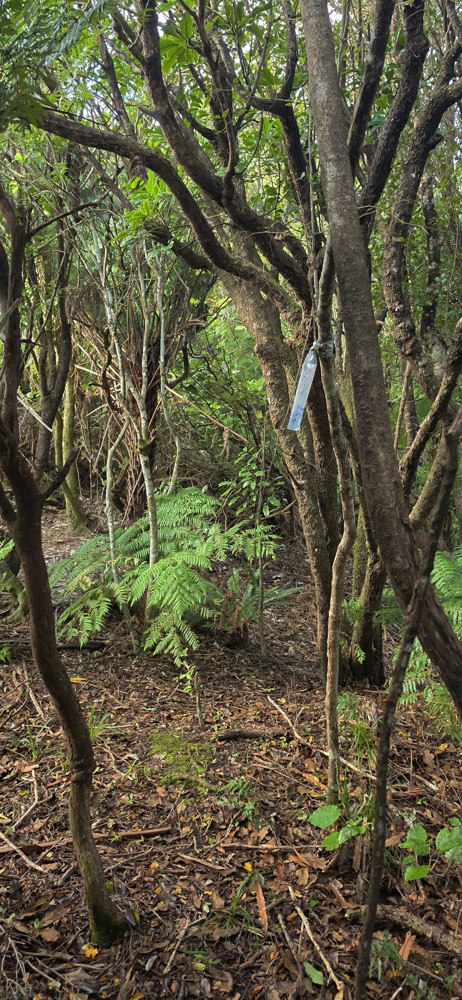
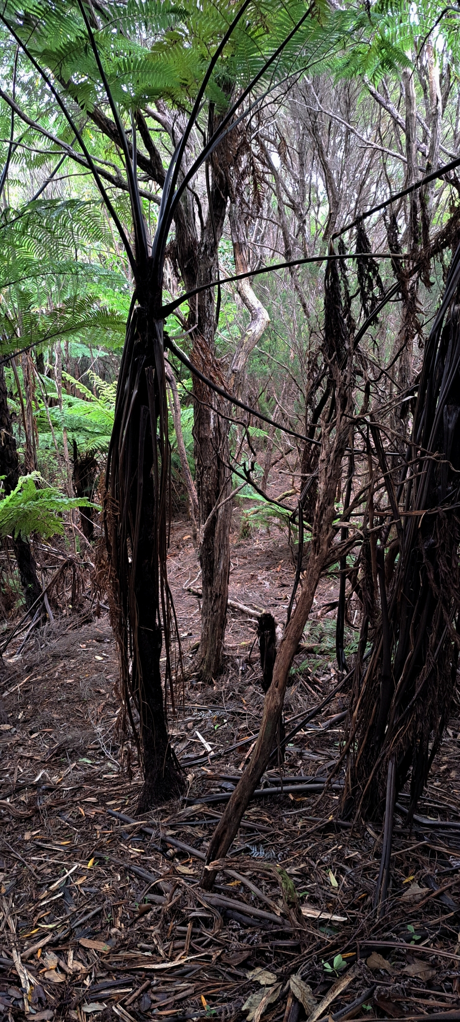
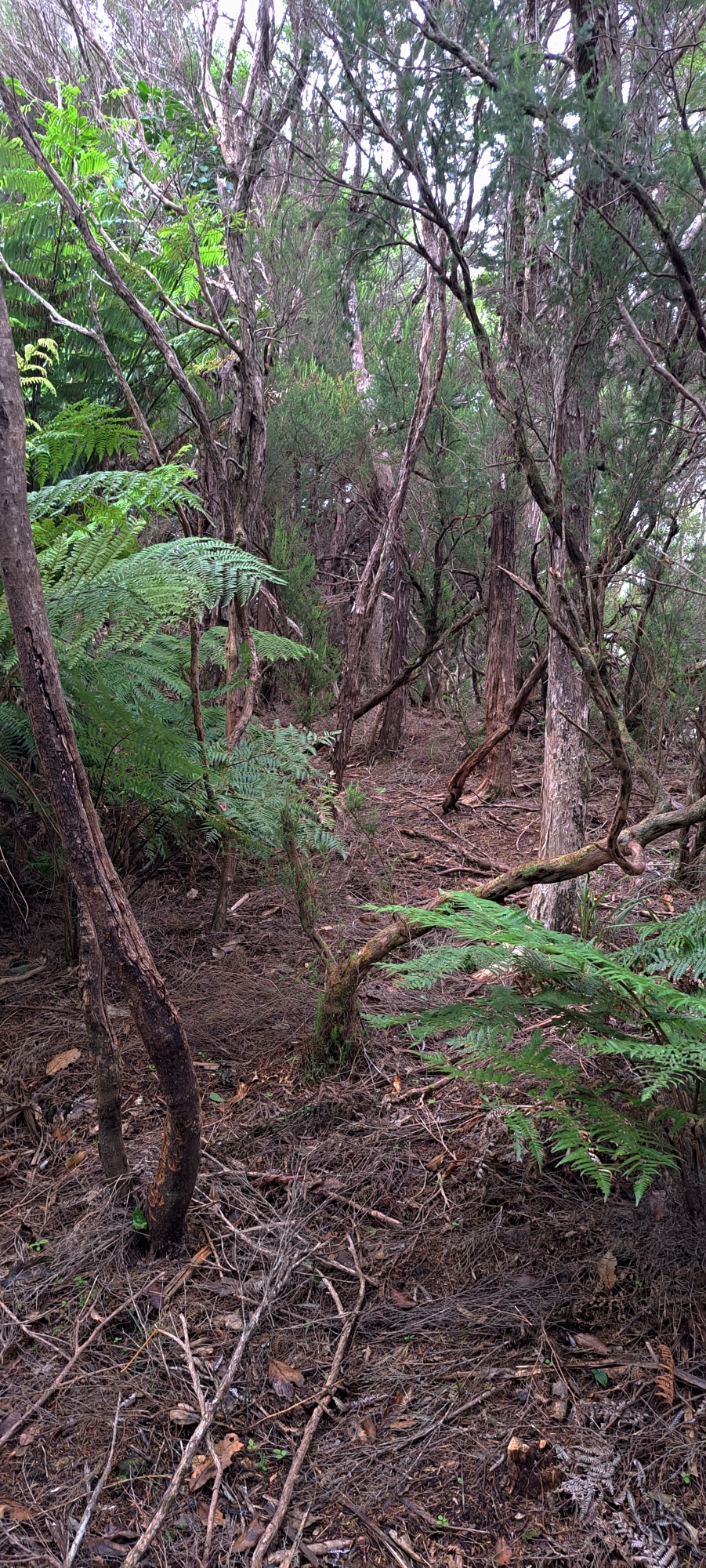
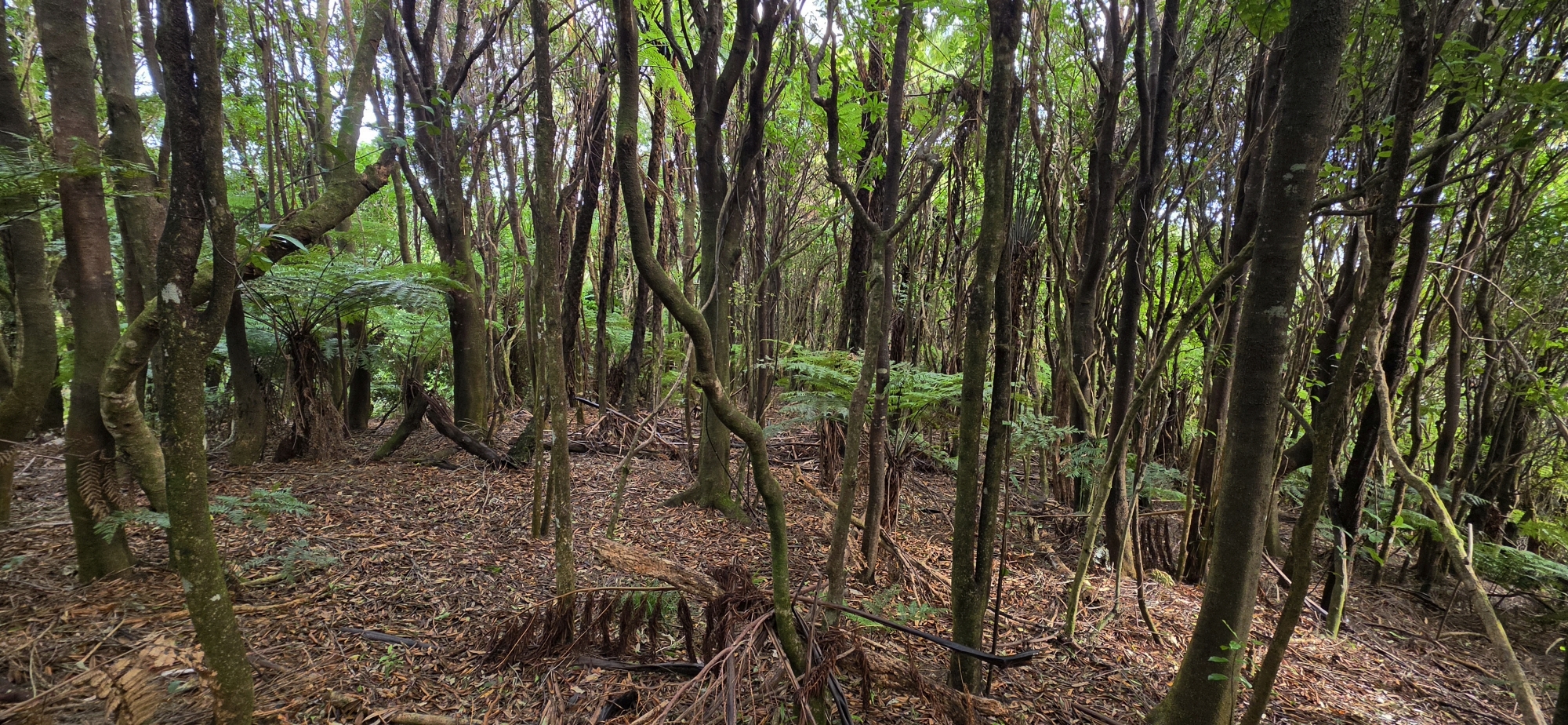
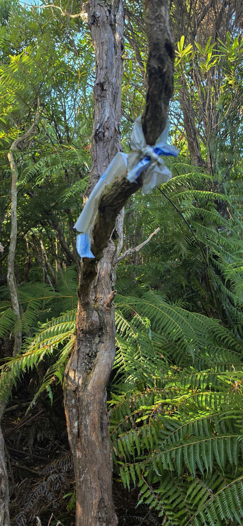 Old white plastic tags wrapped around branches still mark parts of the former route. However, these tags may be several decades old and are widely spaced, making the track difficult to follow. The best approach is to look for signs of the old track itself and use the tags only as confirmation that you are following the correct route. In some places, the tags disappear and the track becomes almost impossible to distinguish. Through these sections, it is important to remain on the highest point, or spine, of the spur.
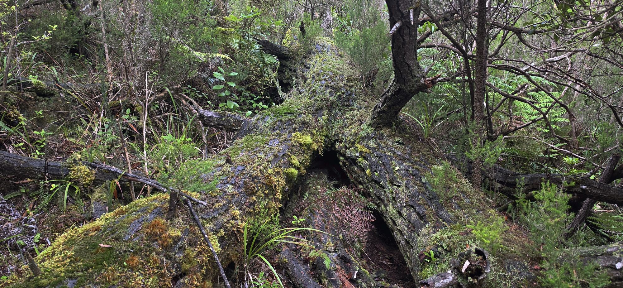
One particularly confusing section reaches a high point before descending. It is easy to lose the route here and continue downhill in the wrong direction. When this happens, the safest approach is to return to higher ground and continue towards McKerrow Ridge. You should eventually relocate the former track or reach the surviving Old Whakanui Track. From there, you can continue uphill towards the East Whakanui Track.
Combining the former entrance with the surviving Old Whakanui Track creates a loop that takes about four hours to complete. However, this depends on staying on the route and successfully navigating the poorly marked sections. It is not suitable for everyone and should only be attempted by people with bush-bashing experience, strong navigation skills and a good sense of direction.
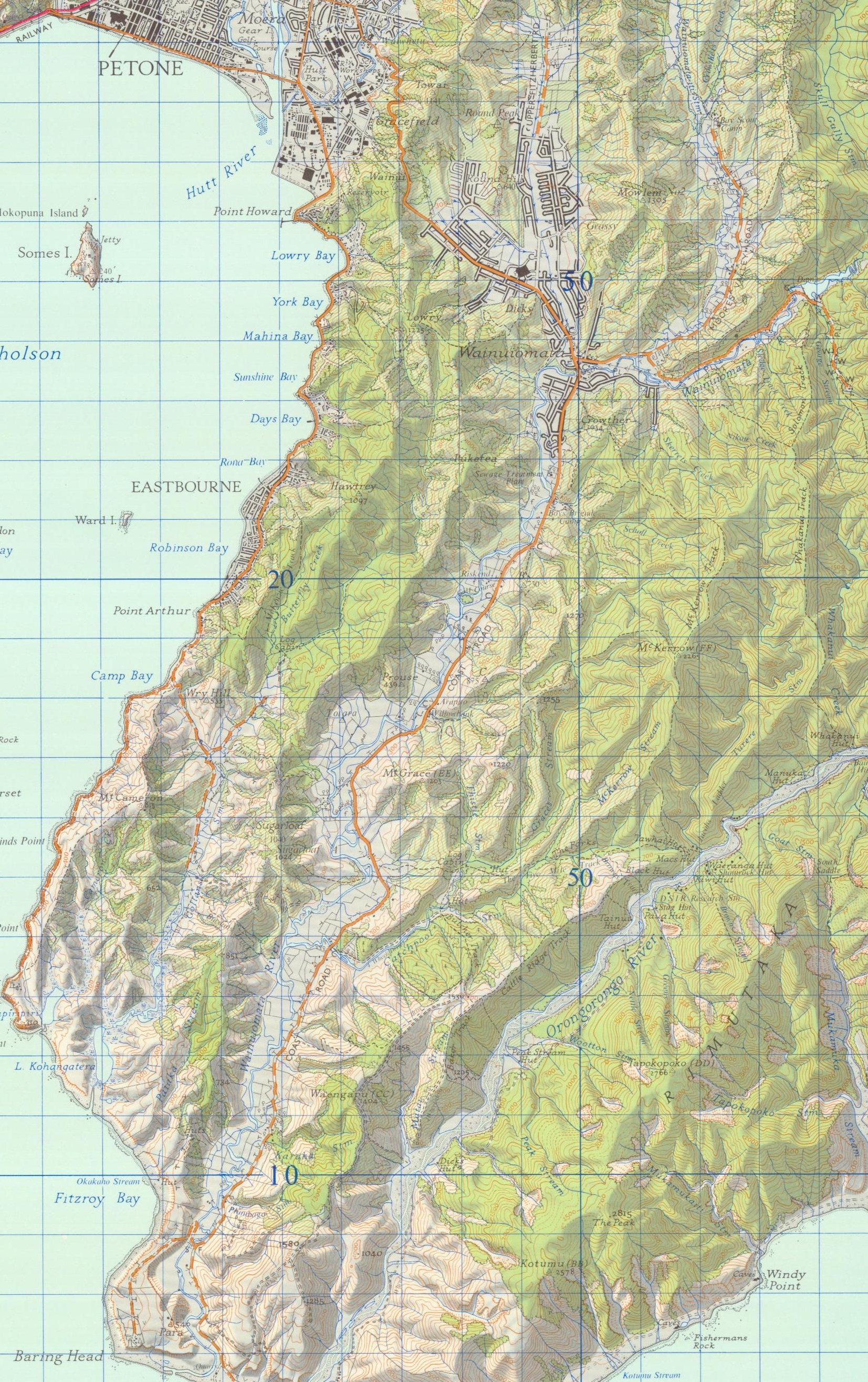 The Old Whakanui Track, including what appears to be its original entrance, can be seen on this 1973 map. The route passes through terrain that is well suited to a track, particularly around the flatter plateau area near Nikau Creek. On the map, look for Nikau Creek and then follow the dotted line climbing up the hillside. That dotted line marks the Old Whakanui Track and its earlier entrance route.




DISCUSSION