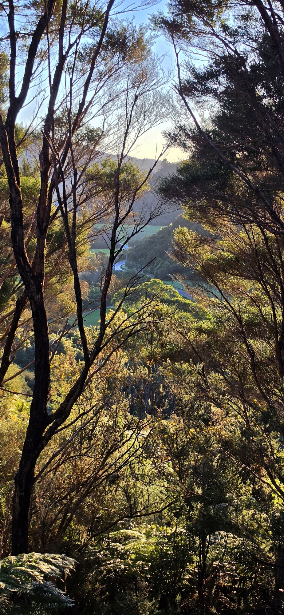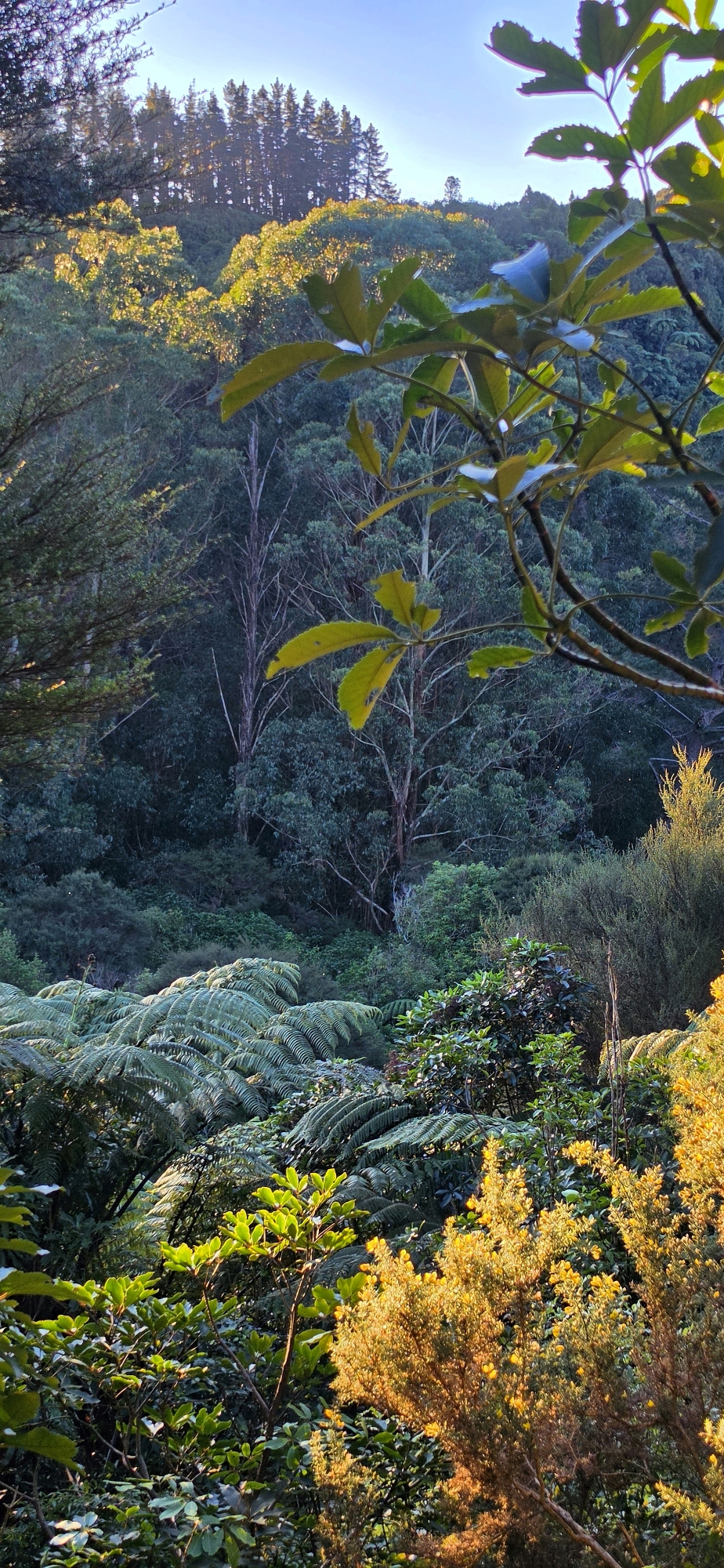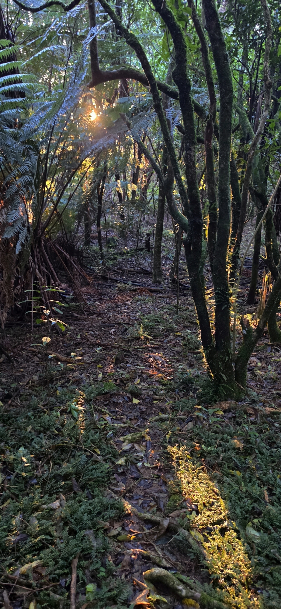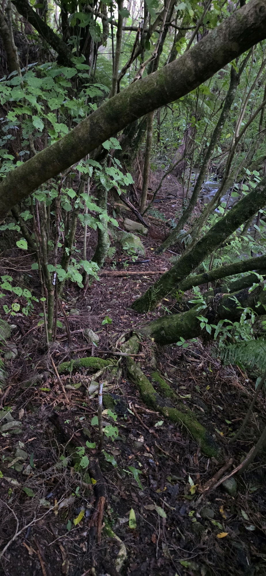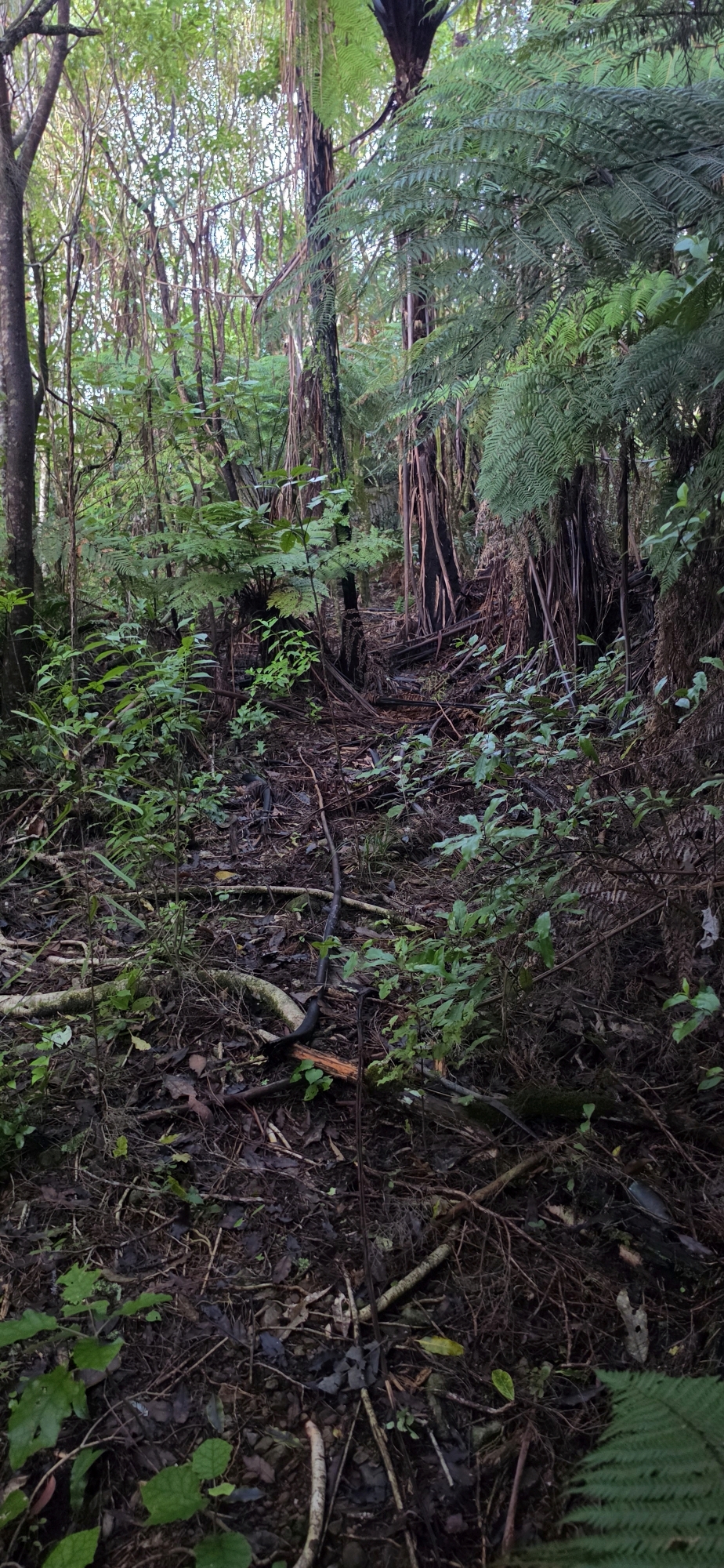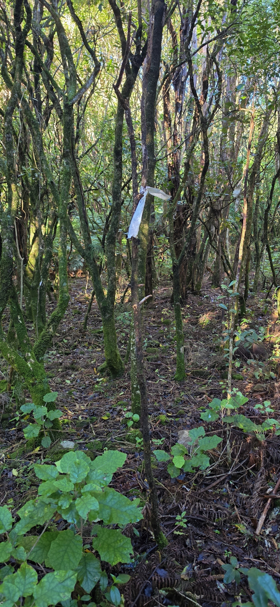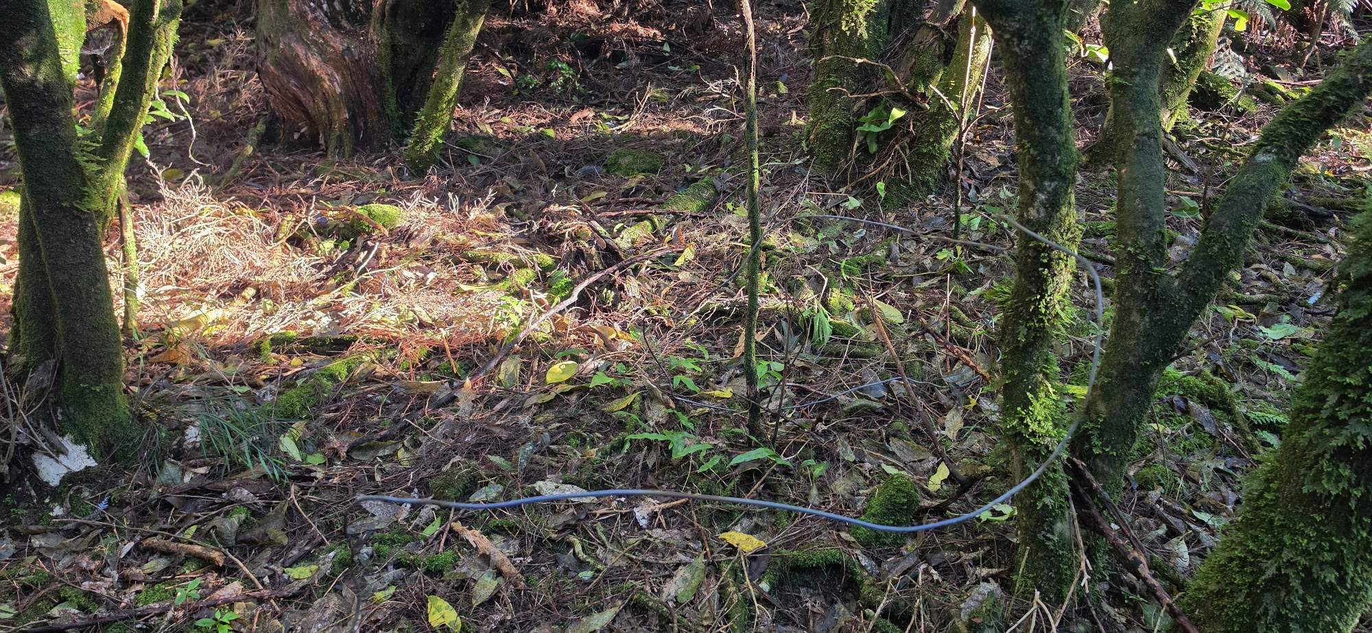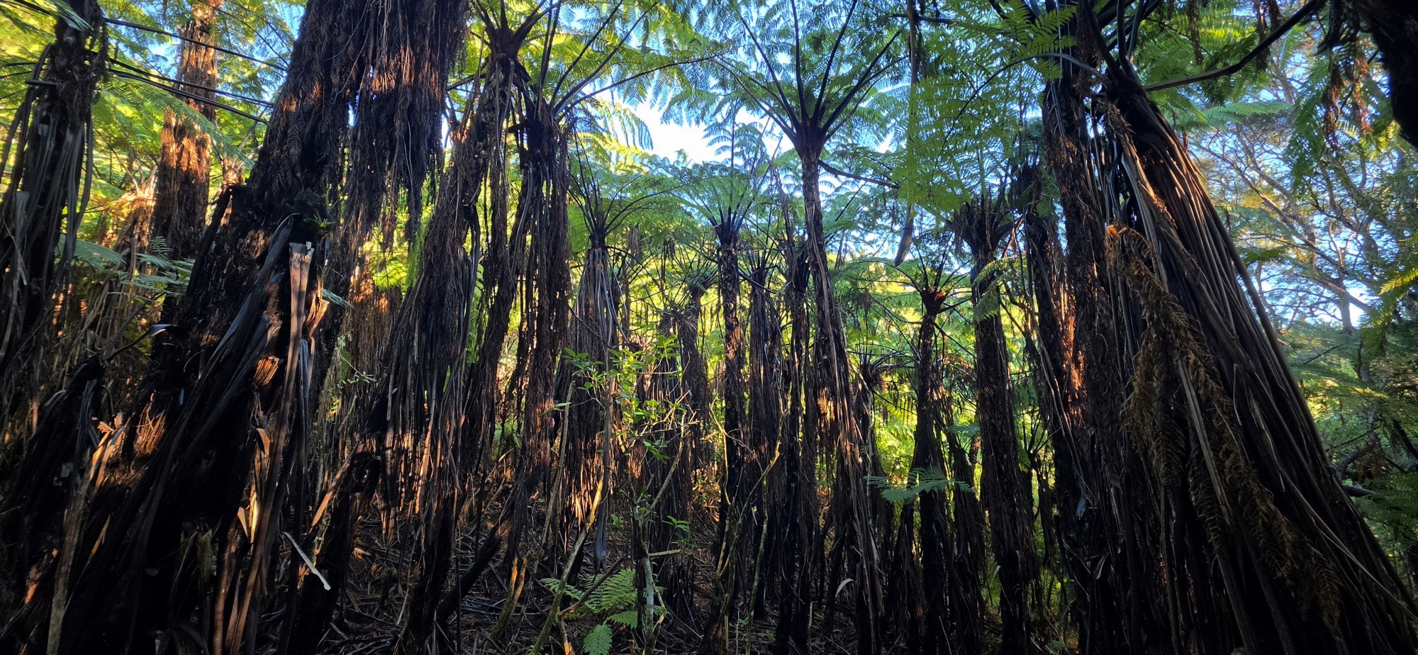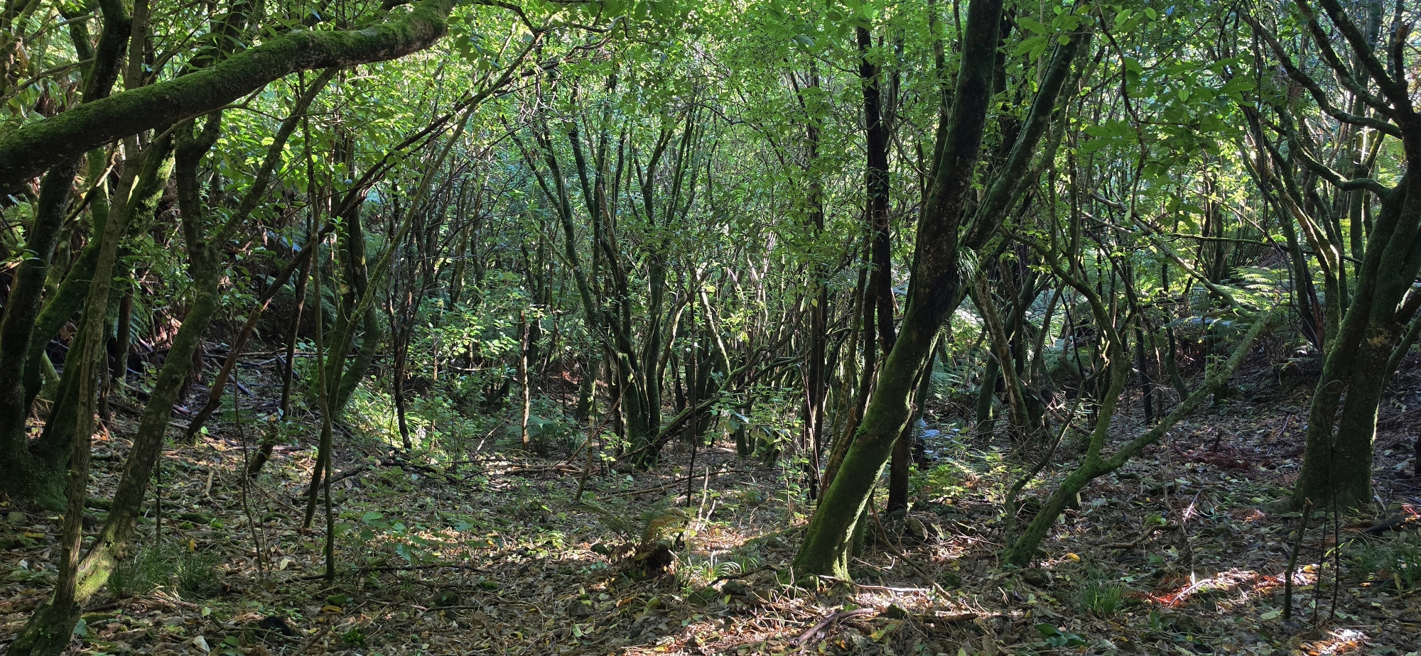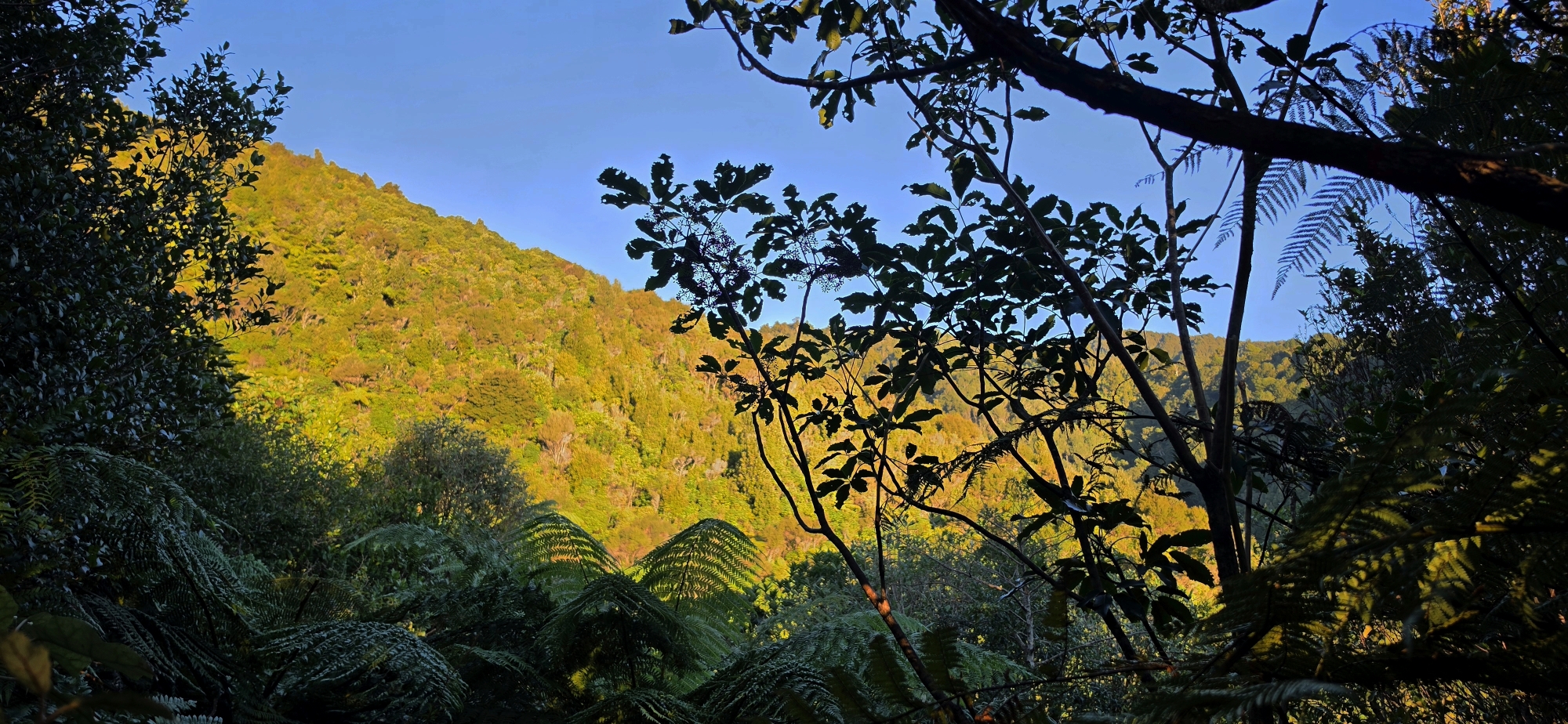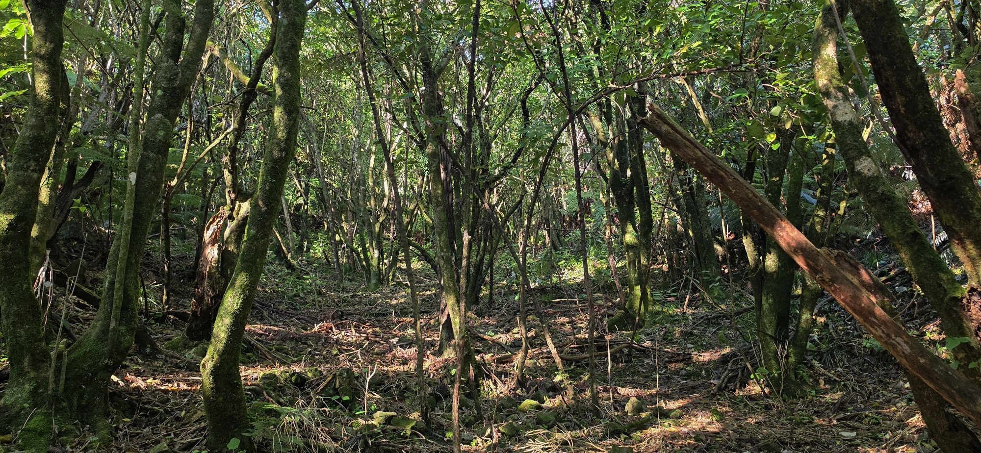
Today, I might have found the start of the Old Whakanui Track located in Reservoir Valley.
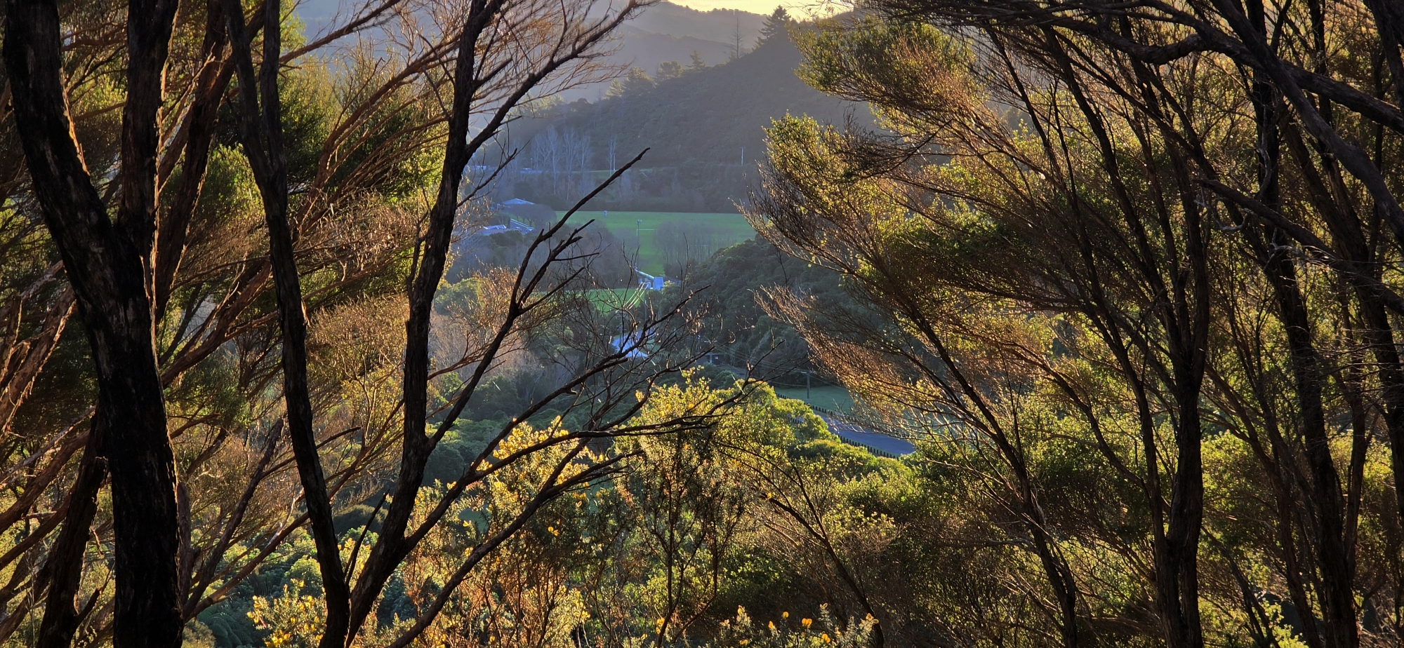
In Bush Bash 80, I stumbled upon what I believe may be the original access route to the Old Whakanui Track (excluding the entrance itself). According to an older Wainuiomata resident, before or around the 1970s the original entrance climbed directly from Reservoir Valley, rather than from inside Nikau Creek Gully, which is the entrance I was familiar with while growing up in the area. That older access route was eventually abandoned after gorse took over the hillside with the newer entrance starting in Nikau Creek Gully.
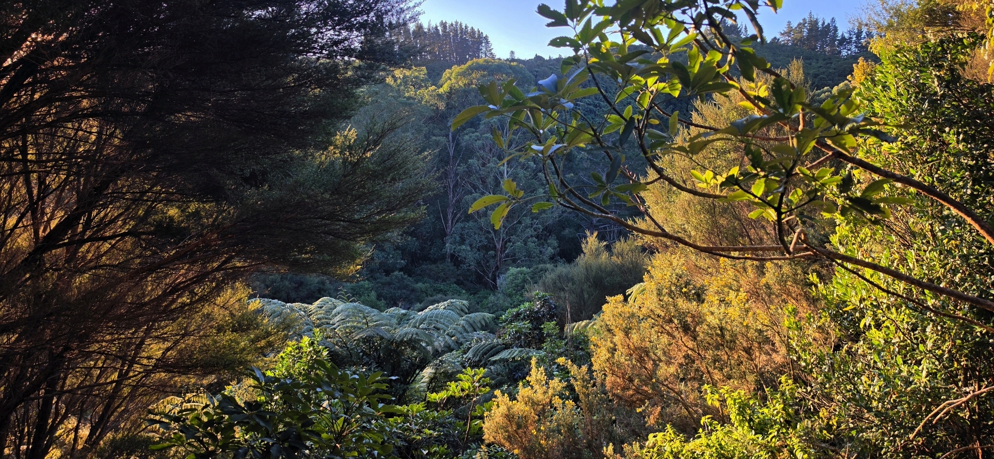
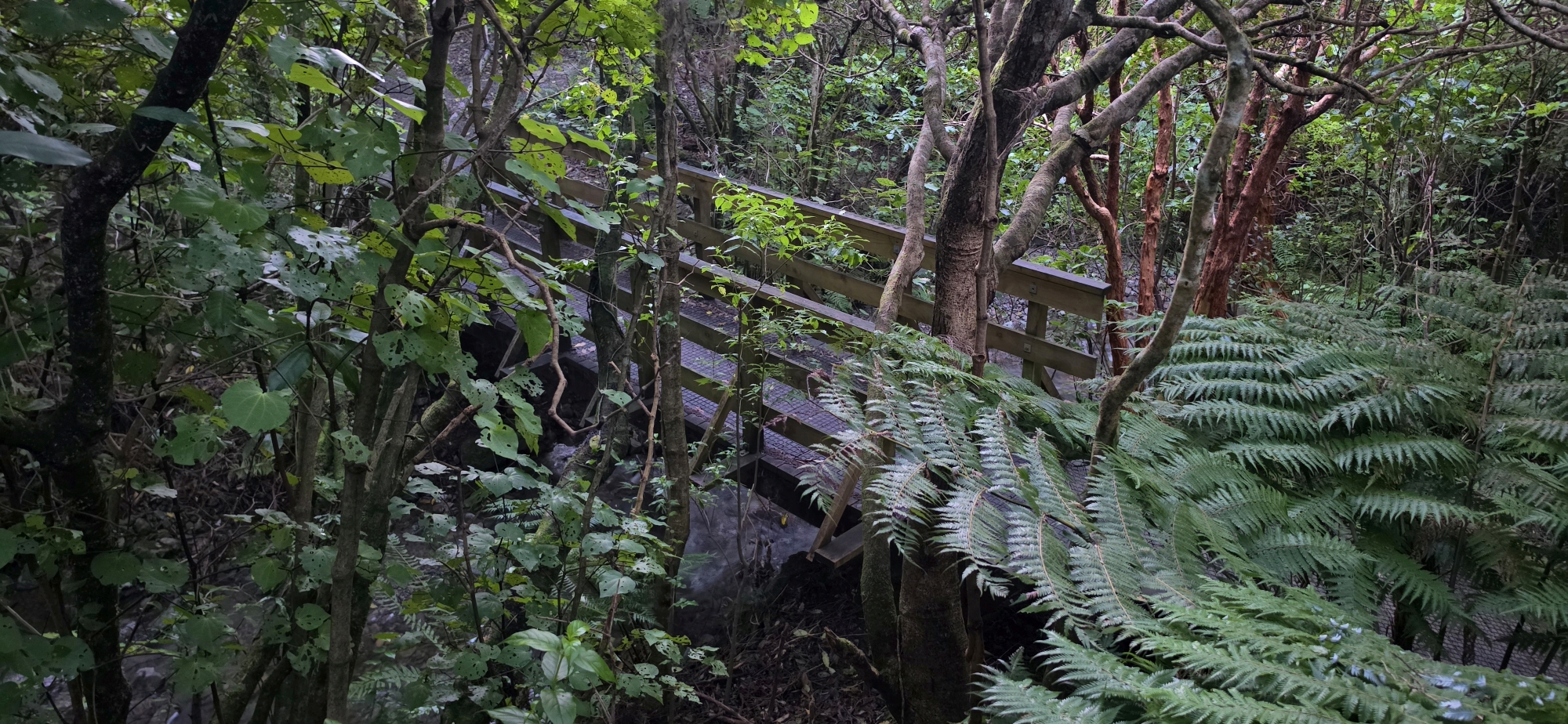
I headed to what I call Nikau Creek Plateau, a scenic flat area above Nikau Creek that is covered in native bush and makes for a pleasant walk. I had not set out specifically to find the original entrance to the old track; I was simply exploring the area more generally. As I worked my way around the spur to exit Nikau Creek Valley, I decided to follow a small creek up the hillside which I have done before, but to go further this time.
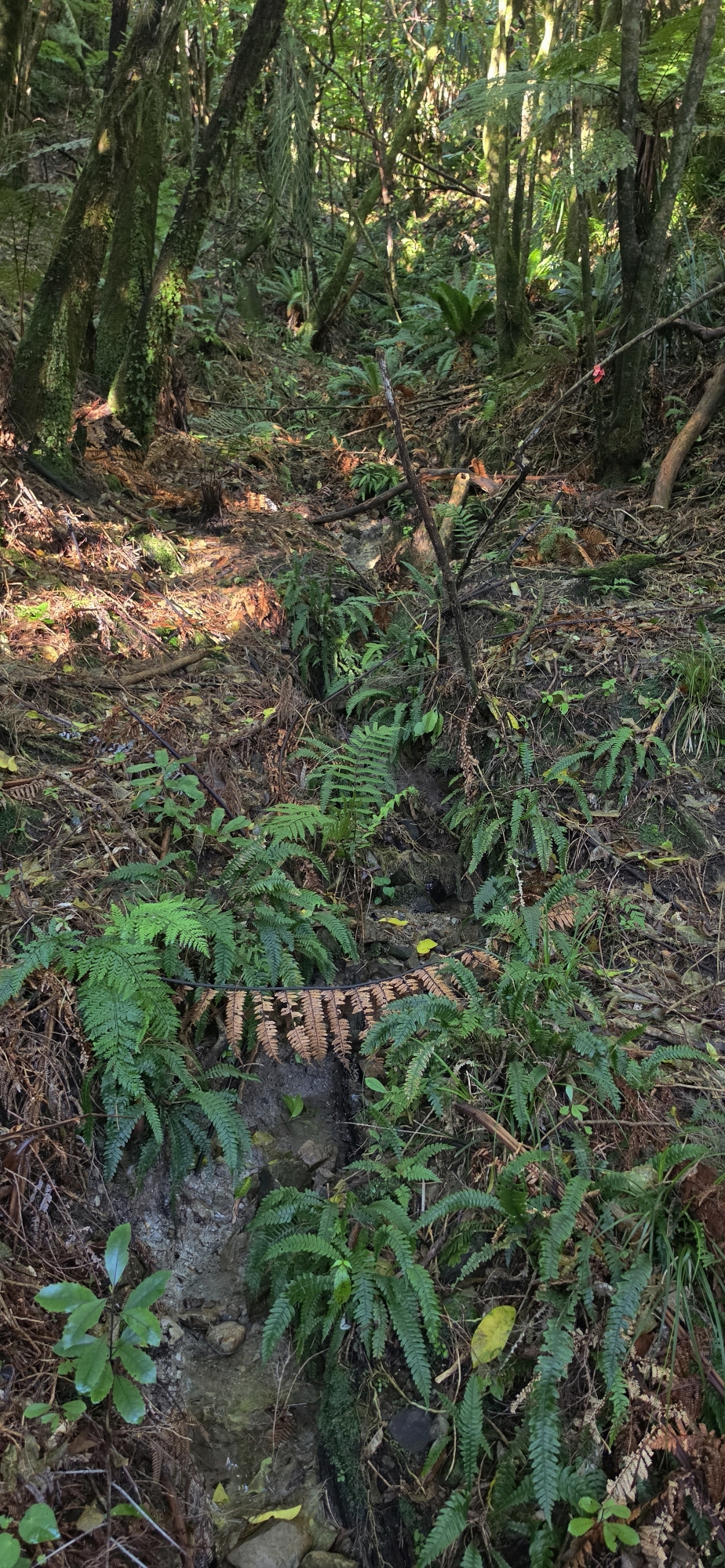
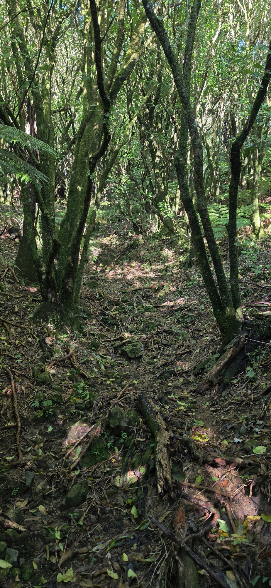
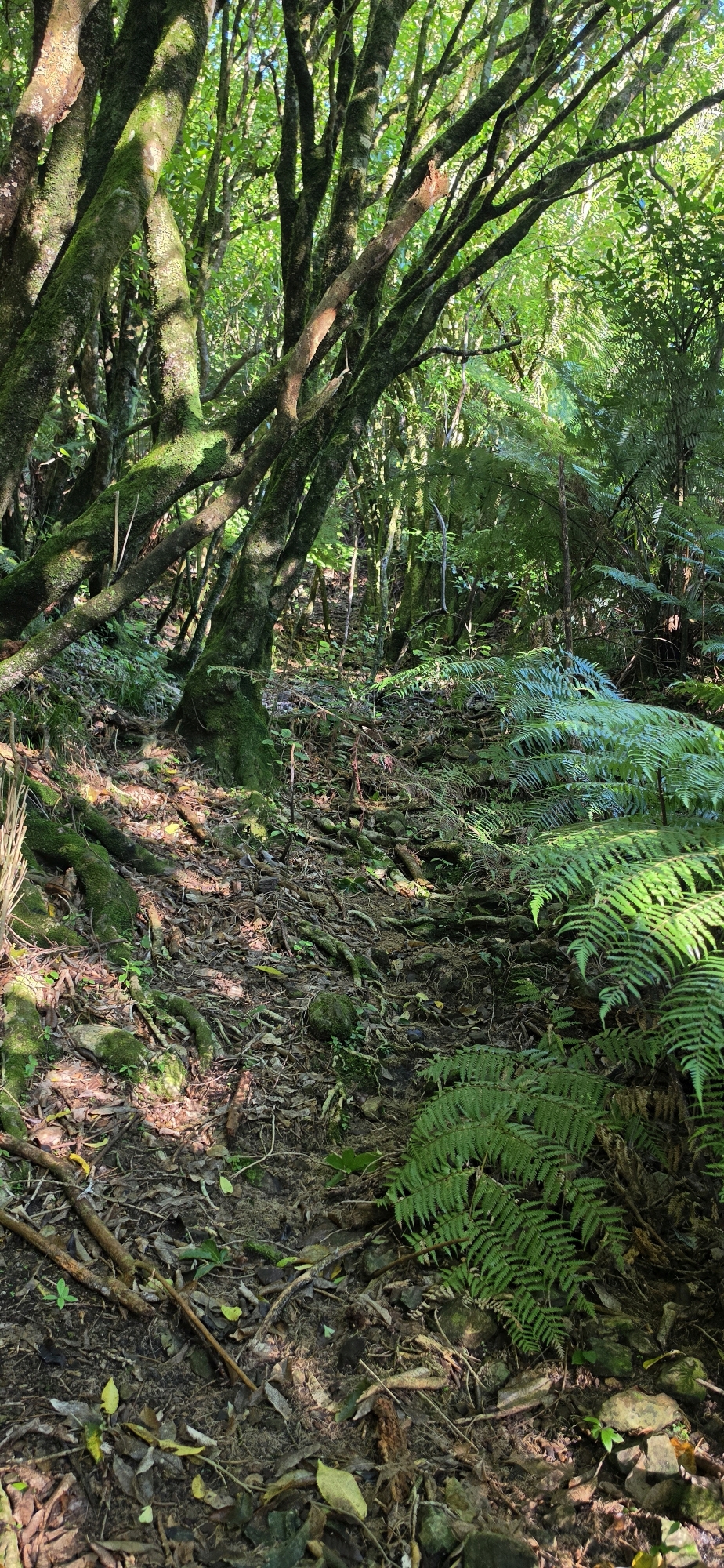
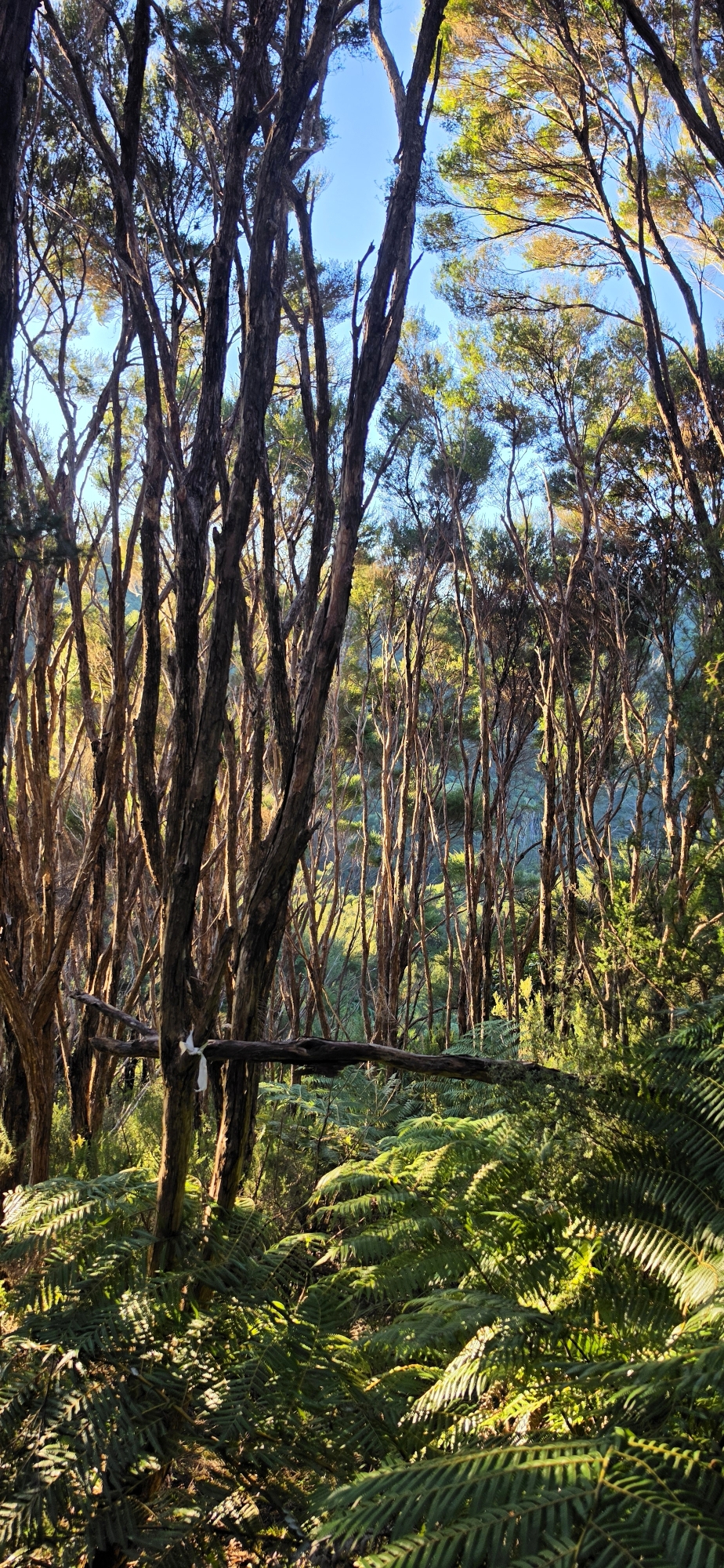
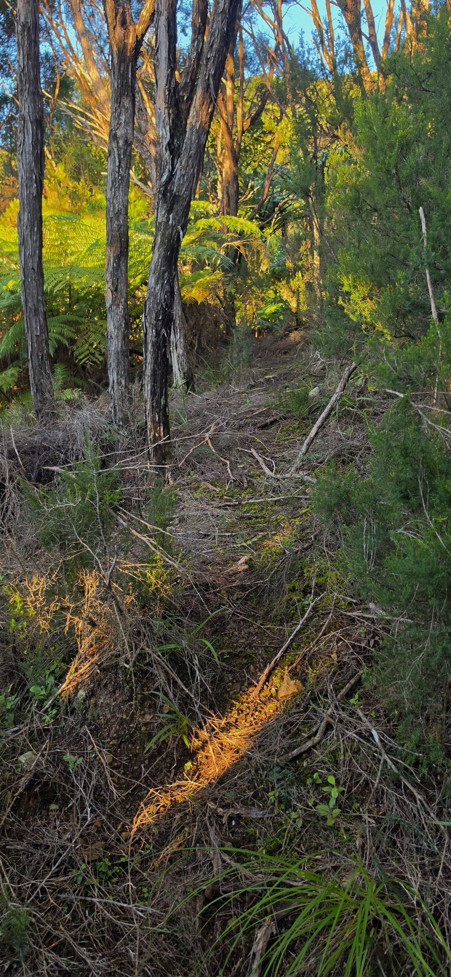
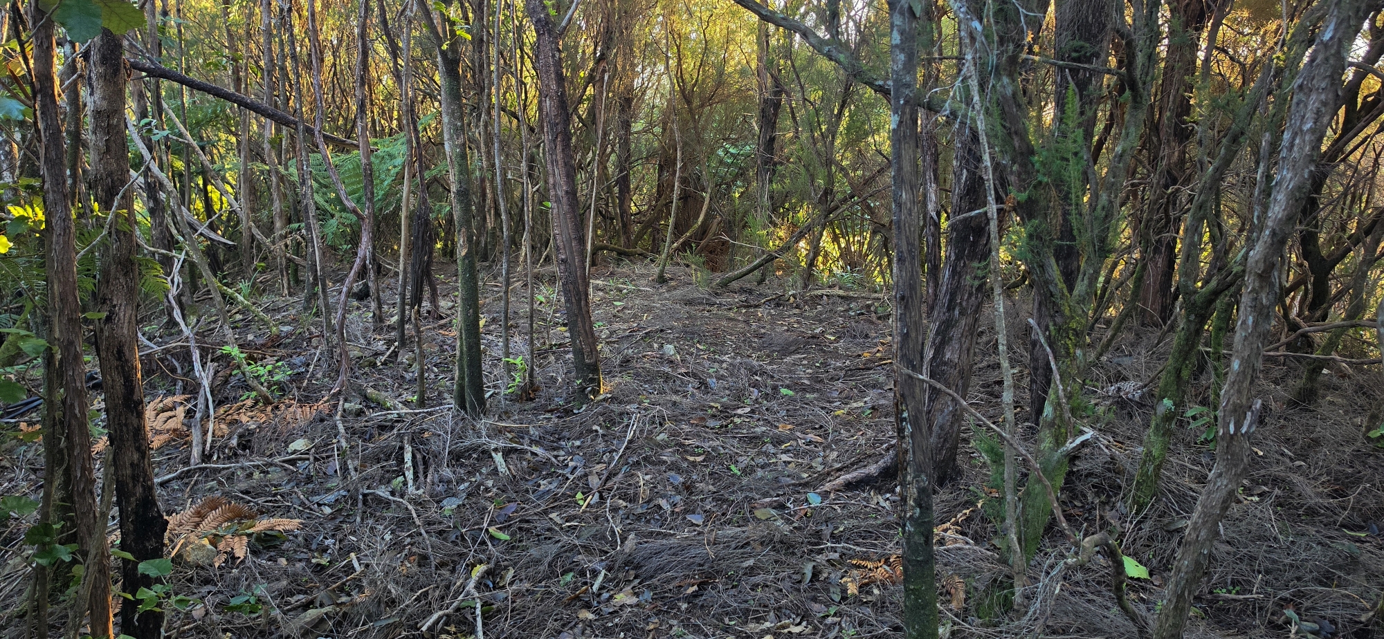
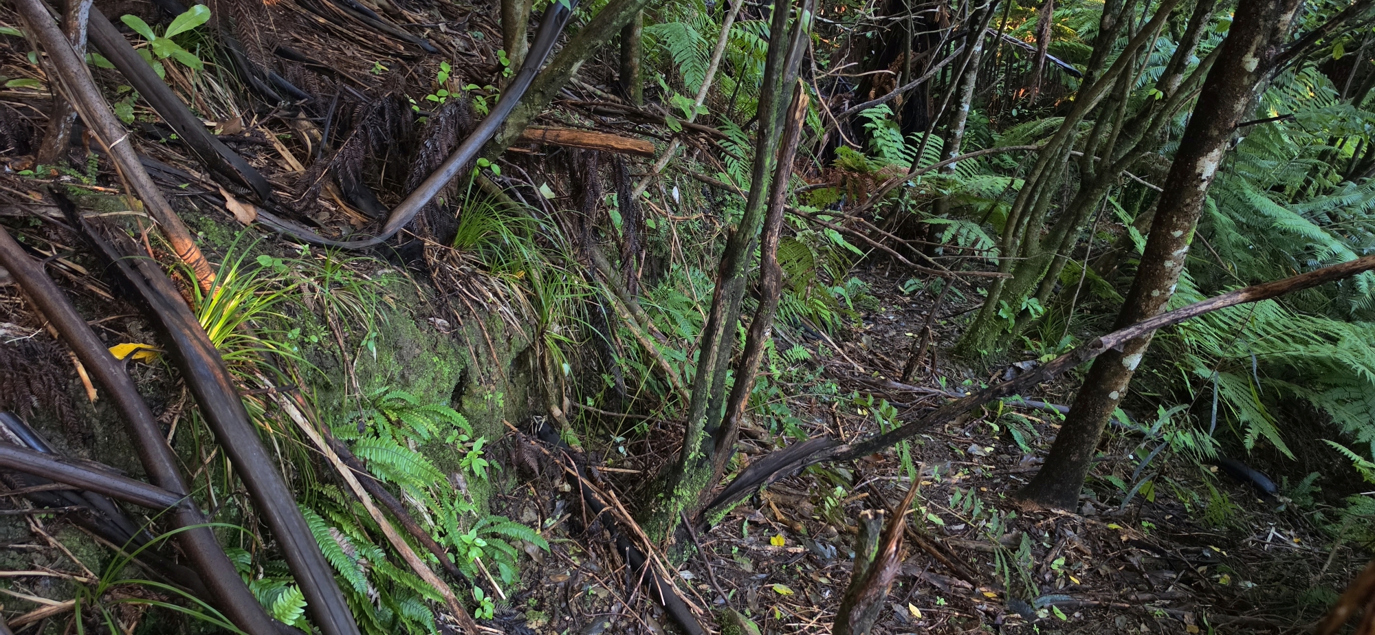
Higher up, the creek became very shallow and the creek gully split into two small open gullies. I first explored the gully to my left, but it ended abruptly in thick regenerating bush at the spine of a spur. I returned to the split and followed the right-hand gully instead, but it was much the same. I then headed for the spine of the spur to my right and almost immediately realised there was an old track there. It was still walkable in sections, and white ribbons were tied to old branches, some still standing and others fallen.
I reasoned that this had to be part of the original access route to the Old Whakanui Track. Although I had explored part of this route during my previous bush bash, I had only found the track further up the hill. This time I was lower down and closer to where the actual entrance might have been. I decided this would become the mission for the day: to see whether I could locate the actual entrance below.
First, however, I needed to climb higher to confirm whether this route connected with the track I had walked during the previous bush bash. After a while, I realised I had seen a section I was on before, although not during the my prior bush bash, as I was not yet high enough on the hillside. I had actually stumbled across this same section during Bush Bash 66, when I followed a tributary up the steep hill east of Nikau Creek Gully. At the time, I had earmarked it for further exploration, but had completely forgotten about until now my prior bush bash where I stumbled across this same section.
I continued upward to confirm if it was the same track, or at least the same section of track, that I had located in the previous bush bash. It did. From there, the task was to head back downhill as far as possible and see exactly where the track emerged in Reservoir Valley. This is where things became a little blurry.
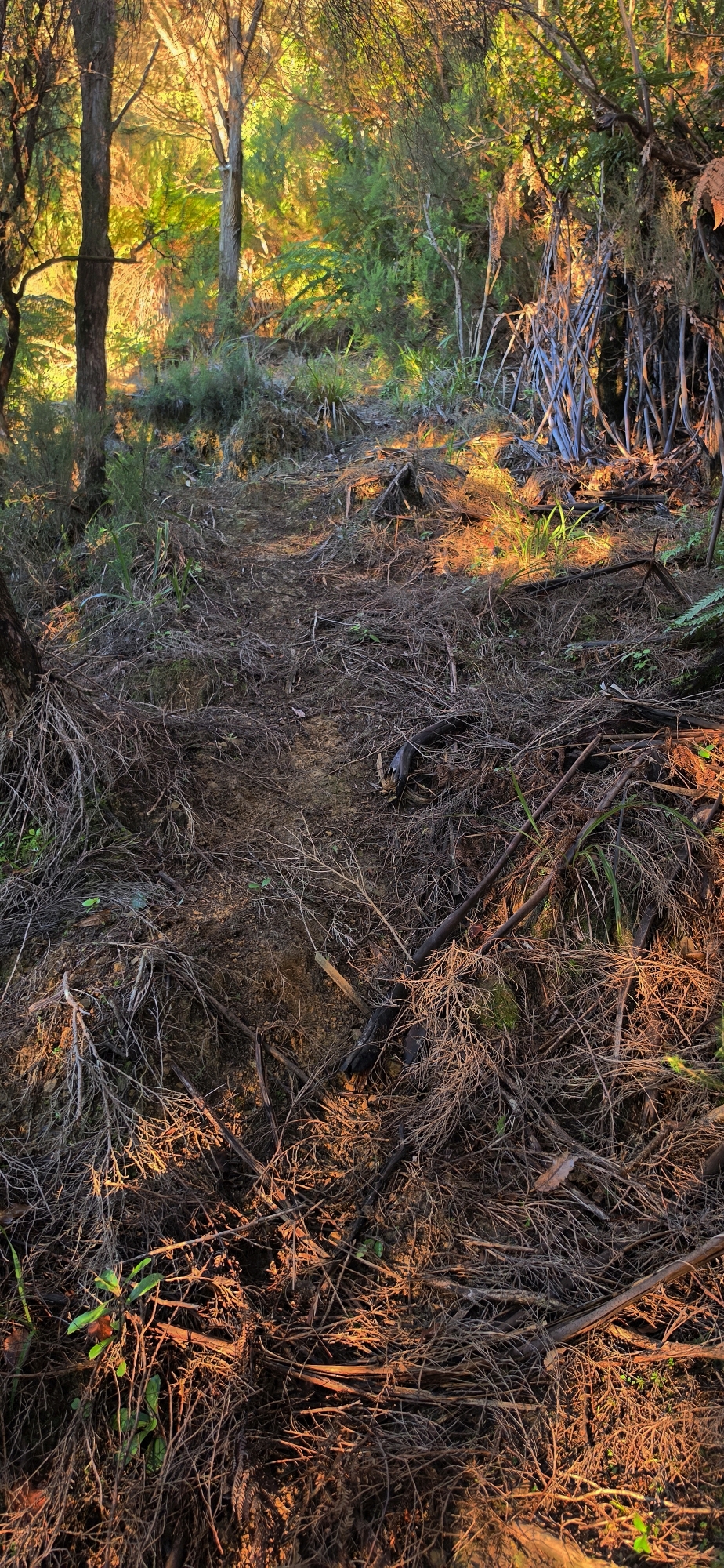
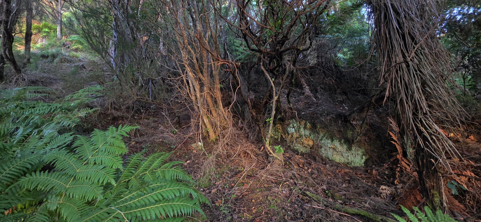
As I approached the lower end of the track, it seemed to curve around the spur, where there was a distinctive bench cut. That route took me back into Nikau Creek Gully, which did not fit the description of a track descending directly into Reservoir Valley. I walked around the spur and returned to where I had started this walk at the beginning of the adventure. There, I found a white ribbon on a tree lower down. I reasoned that the original track may actually have gone straight up the spur instead and ended near this white ribbon marker.
Starting from there, I pushed into the dense bush ahead and getting stabbed by gorse needles here and there, and eventually came back to the bench cut. Before reaching it, I also saw another ribbon onroute, which made me think the mission had been accomplished. I believe I had located the lower approach to the old track.
So what was the bench cut, then? It may have come later, possibly when geological survey tracks were cut through the area. It could have started in a different location to the original Whakanui Track entrance, but merged onto this old access route.
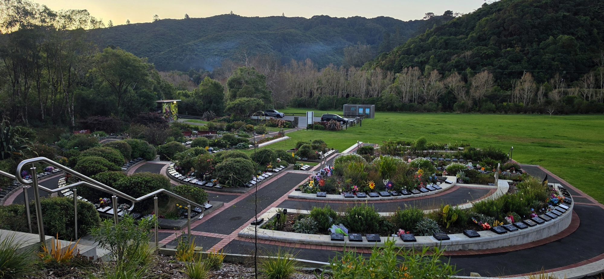
With that, I headed back to the car via the Wainuiomata Garden of Remembrance and called it a day.
NOTE:
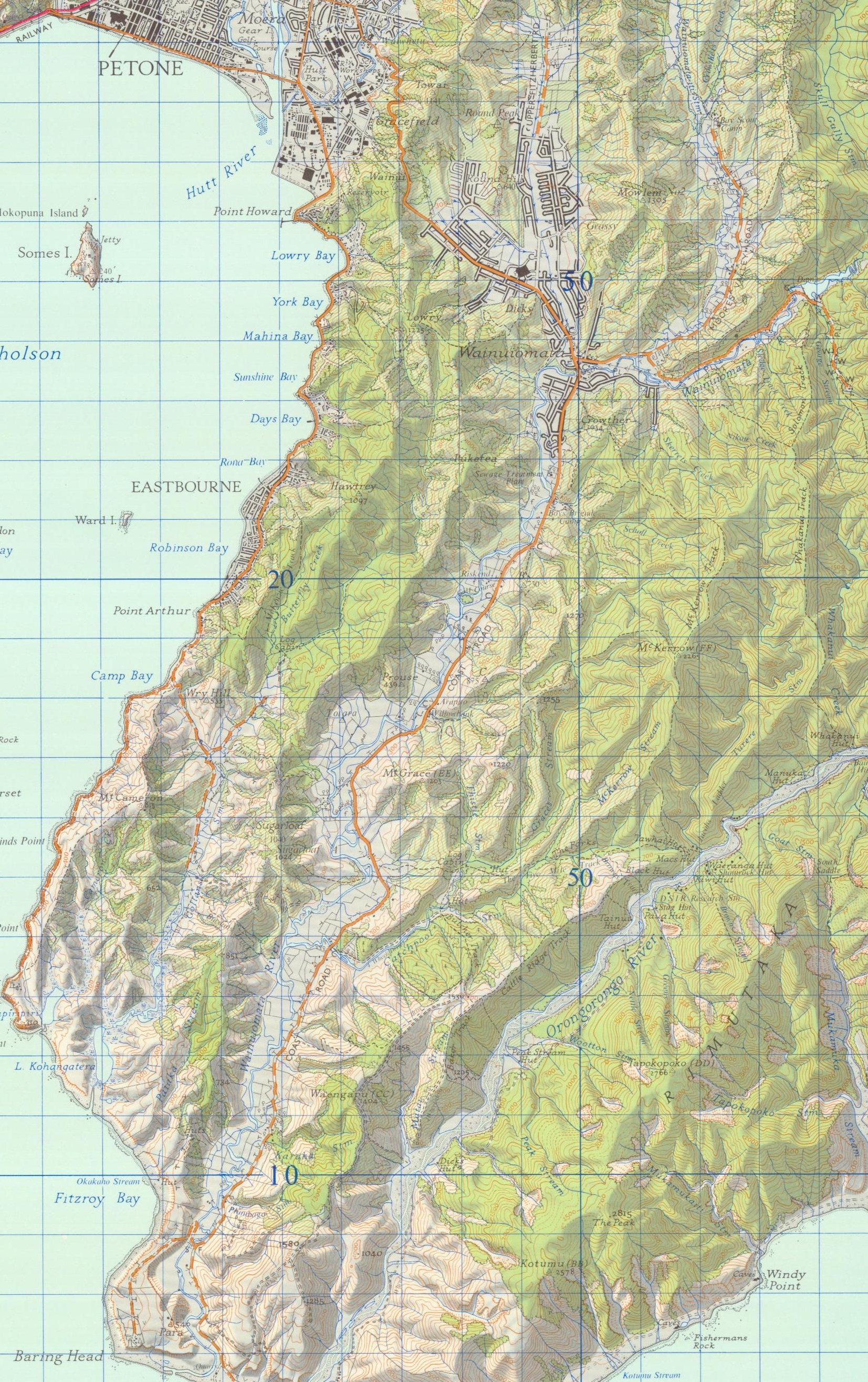 After further research, it appears that the cutting I found during this bush bash is likely the original entrance to the Old Whakanui Track. According to this 1973 map, along with older maps, the track passed through the bench-cut area I saw and appears to have started further towards Reservoir Valley, in what I call the Nikau Creek Plateau, a pleasant, relatively flat area of regenerating forest.
This also makes sense on the ground, as the terrain is well suited to an old track route. On the map, look for Nikau Creek and then follow the dotted line climbing up the hillside. That line marks the Old Whakanui Track with its original entrance.