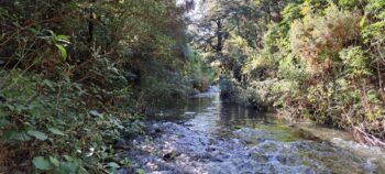
Learn about the rivers and creeks that grace the scenic landscapes of Wainuiomata.
Wainuiomata is encircled by forested hills and mountains, resulting in water runoff that creates streams and creeks. These waterways descend into the valley as rivers and form wetlands. The main river in Wainuiomata is the aptly named ‘Wainuiomata River’. The area is also home to numerous notable creeks that feed into this river. Below is a list starting with Wainuiomata River then followed by its tributaries, arranged from the furthest upstream.
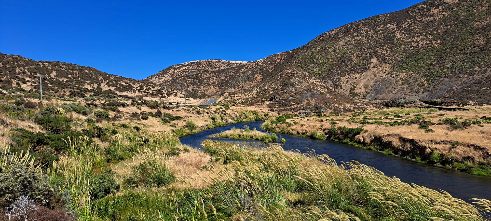
Wainuiomata River
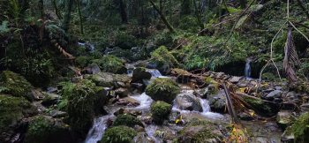
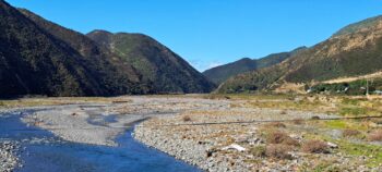
 The Wainuiomata River, originates from the Remutaka Ranges and spans 22 kilometers before reaching Wellington’s south coast, to the east of Wellington Harbour. This is the longest river in Wainuiomata and one of the biggest in the Wellington region.
The river has a catchment that supplies water to four key Wellington centers, contributing around 15 percent of the region’s water supply. Some of this area lies within Wainuiomata Regional Park.
The river is also a place of recreation. It offers a range of opportunities like fishing, swimming, and kayaking. The surrounding bush offers numerous bush walks and parks that you can explore.
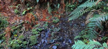
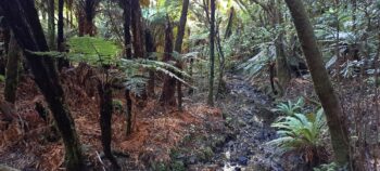
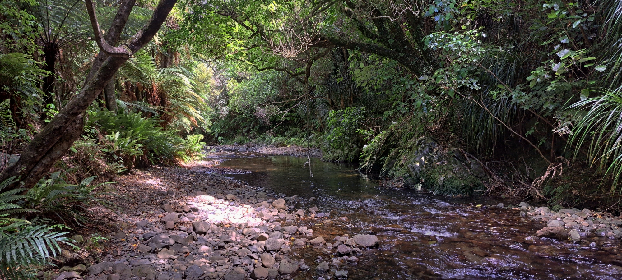
Skull Gully Stream
 Skull Gully Stream, situated beyond Sinclair Stream, serves as a tributary to the Wainuiomata River. Nestled within Skull Gully, this watercourse boasts an estimated maximum terrain elevation of 282 meters above sea level before it flows into the Wainuiomata River.
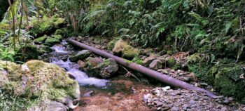
George Creek
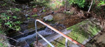 George Creek runs through a side valley that joins Reservoir Valley in the Wainuiomata Water Catchment. A weir on the creek collects water for supply to the Wainuiomata Treatment Plant, where it is processed for drinking.
Sledge Track Creek
 Sledge Creek Track is located next to an old forestry track deep within Reservoir Valley. The creek goes much further up the hill than the track and downstream it eventually flows into the Wainuiomata River.
Nikau Creek
 Nikau Creek flows through Nikau Valley, initially descending steeply at the back of the valley. Once it reaches the valley floor, it follows a gentle incline. The creek parallels both Nikau Creek Track and Old Nikau Creek Track.
Skerretts Creek
 Skerretts Creek, (also known as Skerrets Creek) is another main tributary of the Wainuiomata River. It flows down a hill and through the valley where Sunny Grove is located. It ends when it flows into the Wainuiomata River near the beginning of Reservoir Road. The creek has an interesting history as a water catchment that supplied water to Wainuiomata. The creek is also the location of a plane crash in 1943 with some wreckage still scattered in the surrounding bush.
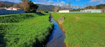
Wainuiomata Stream
The Wainuiomata Stream is a tributary of the Wainuiomata River. The stream originates from a hill between Naenae and The Blue Mountains. It descends behind Brookfield in Wainuiomata and passes through Moores Valley. It then flows into the Wainuiomata River at the eastern end of Richard Prouse Park just outside of Moores Valley.
Hair Stream
 Hair Stream is a creek that flows from the Wainuiomata Scenic Reserve, then flows along and under Hair Street, then under The Village, to eventually flow into the Wainuiomata River.
Black Creek
 Black Creek runs from Arakura and heads south before merging with the Wainuiomata River. The river gets its name from the dark water colored by tannins from a drained swamp.
Scholes Creek
Catchpool Stream
 Catchpool Stream is a tributary of the Wainuiomata River. It is located in Catchment Valley where there are many walks which take you into the Remutaka Forest Park. Catchpool Valley campsite is located alongside Catchpool Stream.
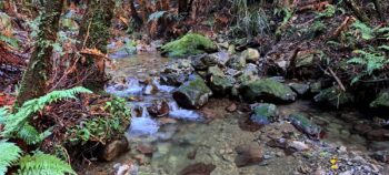
Grace’s Stream
 Grace’s Stream is a small stream in Remutaka Forest Park that follows part of the Five Mile Loop Track through mature lowland forest, including areas of hard beech. It eventually merges with Catchpool Stream.
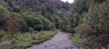
Ōrongorongo River
 The Ōrongorongo River flows from the Rimutaka Ranges to the southern coastline near Wainuiomata. It’s a popular spot for outdoor activities like tramping and fishing.


DISCUSSION