Wainuiomata is a sizable suburb within Lower Hutt, located in the Wellington region of New Zealand.
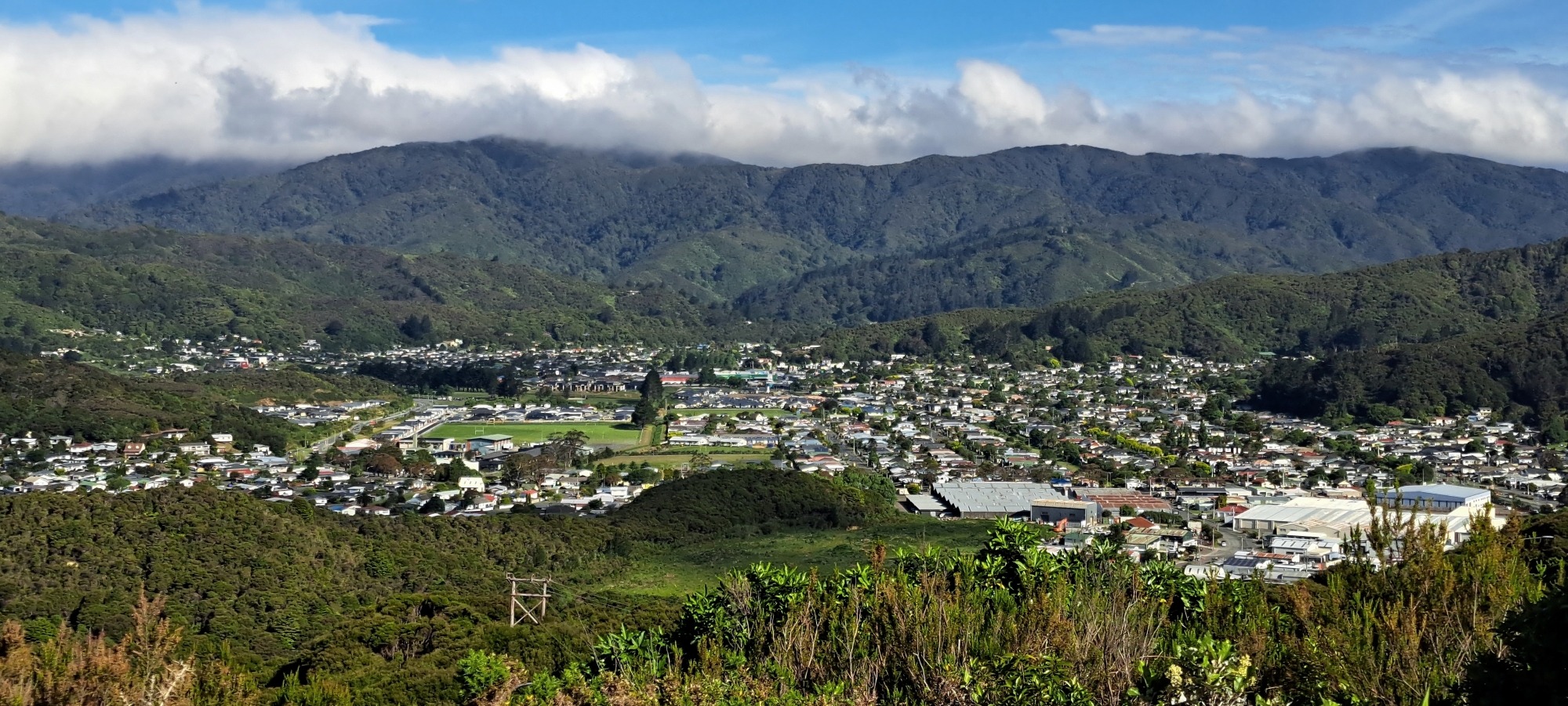
Wainuiomata is uniquely situated, surrounded by hills and a rugged coastline. Its distinctive topography shapes the climate, leading to colder winter lows and warmer summer highs compared to the wider Wellington region. This natural isolation also sets Wainuiomata apart from the rest of Lower Hutt and Wellington, creating a distinct character with a rich pioneering history. With a population approaching 20,000, Wainuiomata feels more like a small town than a typical suburb.
Roads & Access
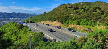 The steep surrounding hills limit access to Wainuiomata to a single road in and out. Known as Wainuiomata Road, this four-to-five-lane highway climbs to 189 metres above sea level at an 80 km/h speed limit. Upon entering the valley, it connects to the main shopping area before splitting into two primary roads that lead further into the neighbourhood.
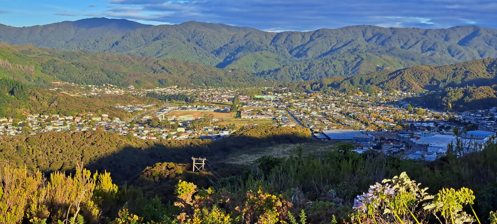
Town Centre & Suburbs
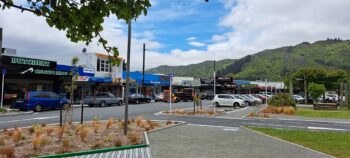 The heart of Wainuiomata is Queen Street, home to most shops and the public library. Off Queen Street lies The Strand, which features a large Woolworths supermarket and several fast-food outlets. Suburban areas extend from this central point in various directions: Parkway to the west, Arakura to the north, and Homedale and Coast Road to the south.
Parks & Reserves
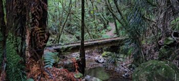 Wainuiomata is a haven for nature enthusiasts. Its hills and forests provide the perfect backdrop for walking, tramping, and mountain biking. Numerous tracks wind through scenic reserves such as Wainuiomata Regional Park and Remutaka Forest Park, home to lush podocarp rainforests among the most pristine in the southern North Island. These forests are habitats for rare birds, including kiwi and the North Island robin. To the south, the rugged coastline offers fishing spots and scenic coastal walks. While beach swimming is unsafe, the Wainuiomata River, which flows into the sea, features several natural swimming areas between its upper reaches and the coast.
Waterworks
 The construction of dams and water systems in the late 1800s and early 1900s played a key role in meeting Wellington’s water needs, marking an intriguing chapter in the region’s history. In the late 1980s, a modern water treatment facility replaced the original infrastructure. Today, Wainuiomata contributes approximately 15% of Wellington’s water supply.
History
 Wainuiomata lies in a basin near the Wainuiomata River and the Remutaka mountain range. Before the 1855 earthquake, the area saw little Māori activity due to its dense forests and swamplands. The earthquake uplifted much of the wetlands, making the land more accessible and attracting European settlers seeking farmland and loggers eager to harvest native timber.
Today
Wainuiomata is a place with a distinct identity, shaped by its natural surroundings and strong community spirit. Tucked between forested hills and linked to the wider Hutt Valley by a single winding road, it has grown from a quiet rural settlement into a vibrant, diverse suburb with a character all its own.
Its scenic walking tracks, native bush, and rich local history reflect a deep connection to the land, while recent developments in infrastructure and housing signal a community looking to the future. Wainuiomata remains a unique part of the Wellington region, where heritage, nature, and progress exist side by side.


DISCUSSION