
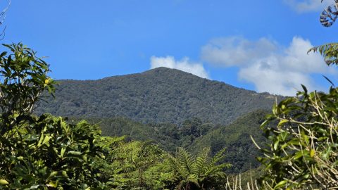
Puketahā Peak is a 767-metre summit overlooking Wainuiomata, rich in Māori heritage and local history, and surrounded by water...
Wainuiomata: Photos
Photographic timeline of Wainuiomata
Documenting Wainuiomata with an ever growing collection of photos. This includes locations such as the town centre, suburbs, landscapes, coastline, rivers, and reserves.
Photo articles are dated by the age of the main photo or the main subject rather than when the article was written. This places the photos in a timeline. Some photos date back to the 1800s. We either have permission to show these old photos or they have no copyright. Modern photos on the site were taken by David Johnson of Wainuiomata.Net unless otherwise specified.
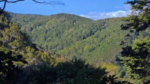
Explore Gollans Valley near Wainuiomata, its streams, bush, historic property, early farming, and gold-prospecting history.
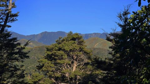
Looking towards the Ōrongorongo Range, with the eastern flank of Gollans Valley and the Coast Road range in the...
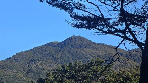
Sugarloaf Hill near Coast Road in Wainuiomata takes its name from the traditional sugar loaf, a solid cone of...
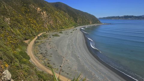
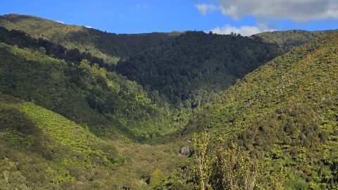
Nīkau Creek Valley in Wainuiomata Regional Park has a mix of regenerating bush and untouched old-growth forest.
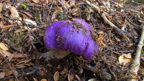
A striking purple pouch fungus found in Wainuiomata may belong to a group of uncommon native Cortinarius species.
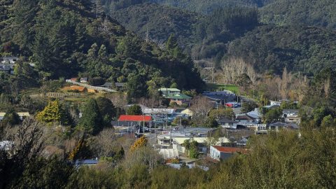
A zoomed-in view of The Village in Homedale, the older shopping area of Wainuiomata, photographed from the Stanley Street...
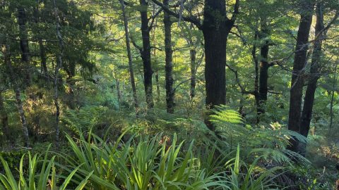
Beech forests in Wainuiomata thrive in the hills and higher elevations, providing vital habitat for native birds.
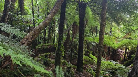
Lush native forests of tree ferns and smaller broadleaf trees are widespread throughout Wainuiomata's regional parks.
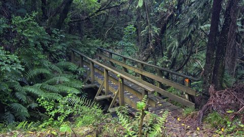
The Northern Forest is the large, bush-covered section of East Harbour Regional Park lying between Wainuiomata and Eastbourne.
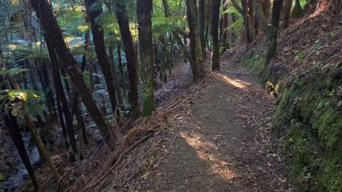
A fern-filled gully viewed from the aptly named Fern Gully Track. The well-maintained track climbs gently toward the Northern...
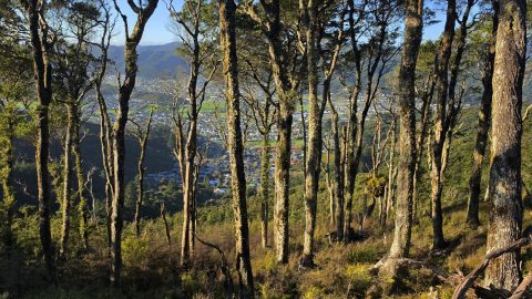
Rātā Ridge Track offers views across Wainuiomata Valley, contrasting native forest with residential streets and open land below.
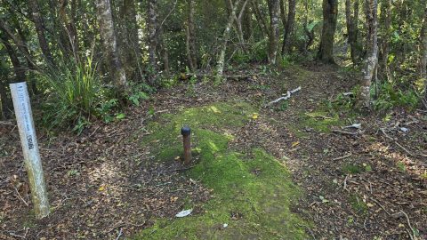
Explore Mt Lowry, the 373-metre peak above Wainuiomata and Lowry Bay, including its trig, native forest, tracks and local...
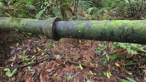
This old scour pipe, now hidden in the Wainuiomata bush, once formed part of the Ōrongorongo Water Scheme.
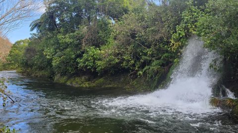
On 2 July 2026, a scour discharged excess water from a pipeline creating a temporary waterfall into the Wainuiomata...
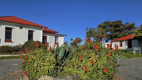
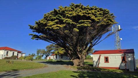
Baring Head / Ōrua-pouanui includes a lighthouse compound, former keepers’ cottages, the Powerhouse, Story Hub, Para Hill, & wartime...
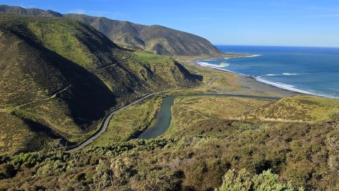
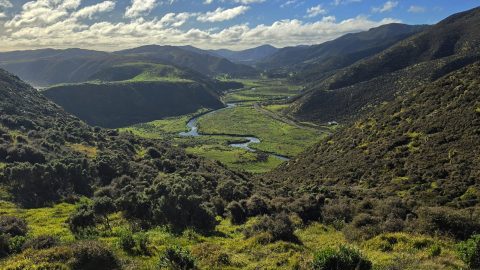
View of the valley through which Coast Road winds its way. Once dominated by early timber milling, the valley...
WAINUIOMATA TOURS

Step into the wilderness of Wainuiomata and experience it for yourself. Learn more →.
WAINUIOMATA MUSEUM

Located in Wainuiomata Primary School, it is open 2pm-4pm every Sunday. Learn more →.
BUY ME A COFFEE
Support Wainuiomata.Net with a donation and help us continue to uncover local history, capture photos, drink coffee, and promote Wainuiomata.
Scan or click the code below:


Support
Make a donation and help us continue to uncover local history, capture photos, drink coffee, and promote Wainuiomata.
Scan or click the code below:
DISCUSSION