
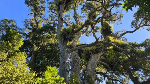
Large rātā tree visible from the Whakanui Track above Sunny Grove, set among towering native forest giants.
Wainuiomata: Photos (Page 3)
Photographic timeline of Wainuiomata
Documenting Wainuiomata with an ever growing collection of photos. This includes locations such as the town centre, suburbs, landscapes, coastline, rivers, and reserves.
Photo articles are dated by the age of the main photo or the main subject rather than when the article was written. This places the photos in a timeline. Some photos date back to the 1800s. We either have permission to show these old photos or they have no copyright. Modern photos on the site were taken by David Johnson of Wainuiomata.Net unless otherwise specified.
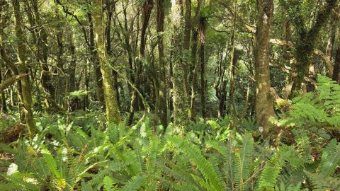
Lush native forest is visible from the Whakanui Track in Wainuiomata as it traverses above Nikau Creek Valley.
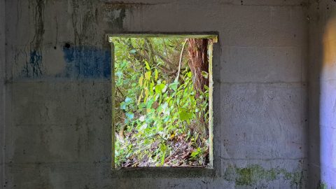
Interior view of the old O-K Venturi Meter Hut (Orongorongo Meter House) located beside the old Maintenance Road,
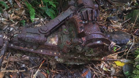
In the hills behind Sunny Grove lies this piece of Kittyhawk aircraft wreckage from 1943 which is thought to...
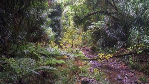
Looking across the bush clad slopes of Skerretts Gully and Skerretts Creek above Sunny Grove in Wainuiomata.
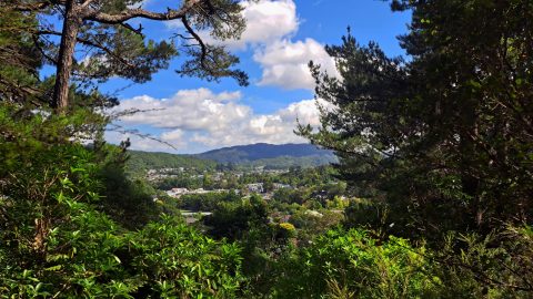
This view from the Harry Todd Track in the Harry Todd Recreation Reserve shows Hine Road in the foreground.
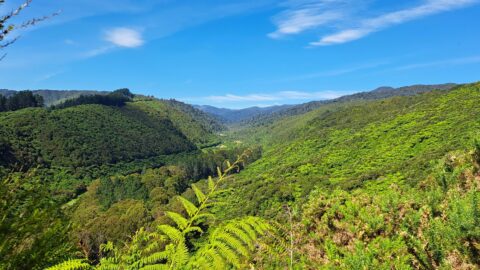
History of Reservoir Valley in Wainuiomata, from Sinclair Valley and early timber milling to the Lower Dam, Morton Dam...
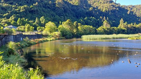
A view of the wetland area and the historic dam in Wainuiomata. This wetland was formerly the reservoir for...
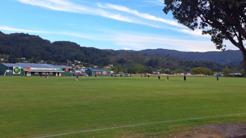
Bryan Heath Park is a large open sports ground used for cricket and football, and serves as the home...
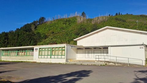
View of a former classroom block at the old Wainuiomata College campus, a remnant of the school prior to...
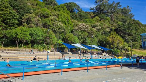
Looking across the Olympic sized pool at the Wainuiomata Baths, also known as the Wainuiomata Summer Pool.
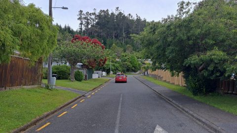
View of Willis Street near Hine Road in Wainuiomata. This short street is backed by the Harry Todd Recreation...
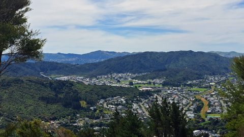
Looking from Mount Crowther on the Mount Crowther Track near the transmission station in the Harry Todd Recreation Reserve.
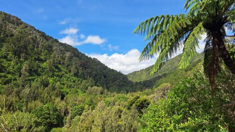
View across Remutaka Forest Park at Catchpool Valley from the Ōrongorongo Track. This outlook is reached approximately ten minutes...
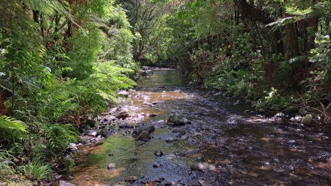
Grace’s Stream is a minor forest waterway within Remutaka Forest Park, south of Wainuiomata where it flows through areas...
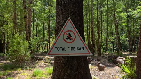
This older fire ban sign is nailed to a tree in the now abandoned Grace's Stream Campsite in the...
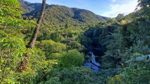
Looking down on the Wainuiomata River near the old dam, where the view has opened up slightly, following a...
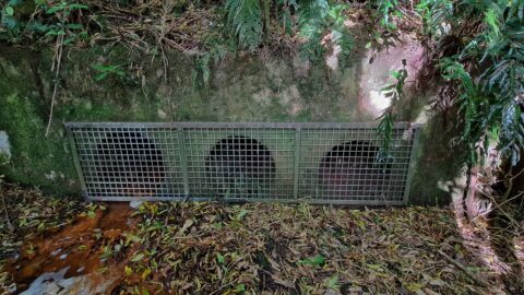
These pipes run beneath the old dam and were built to reduce pressure on the dam wall during major...
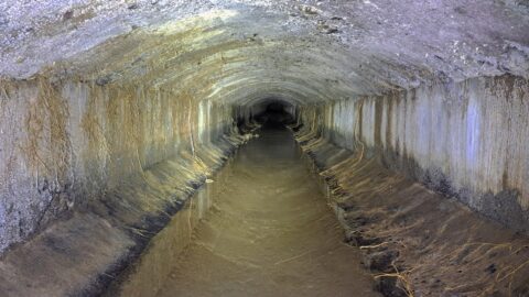
Looking inside the Wainuiomata Water Race. This two-kilometre concrete tunnel was built in the early 1880s and decommissioned in...
WAINUIOMATA TOURS

Step into the wilderness of Wainuiomata and experience it for yourself. Learn more →.
WAINUIOMATA MUSEUM

Located in Wainuiomata Primary School, it is open 2pm-4pm every Sunday. Learn more →.
BUY ME A COFFEE
Support Wainuiomata.Net with a donation and help us continue to uncover local history, capture photos, drink coffee, and promote Wainuiomata.
Scan or click the code below:


Support
Make a donation and help us continue to uncover local history, capture photos, drink coffee, and promote Wainuiomata.
Scan or click the code below:
DISCUSSION