
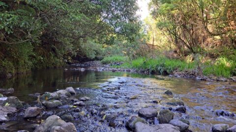
Three ducks on the Wainuiomata River just downstream from Ultimate Pool, a popular local swimming and recreation spot.
Wainuiomata: Photos (Page 4)
Photographic timeline of Wainuiomata
Documenting Wainuiomata with an ever growing collection of photos. This includes locations such as the town centre, suburbs, landscapes, coastline, rivers, and reserves.
Photo articles are dated by the age of the main photo or the main subject rather than when the article was written. This places the photos in a timeline. Some photos date back to the 1800s. We either have permission to show these old photos or they have no copyright. Modern photos on the site were taken by David Johnson of Wainuiomata.Net unless otherwise specified.
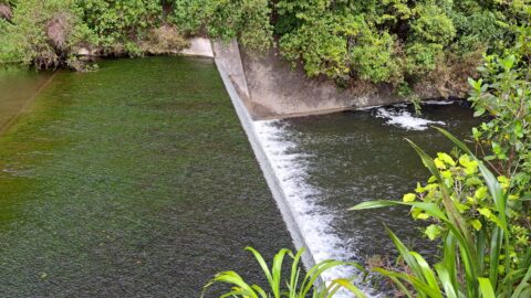
The old dam and its spillway was part of the original 1880s water supply system in Wainuiomata that served...
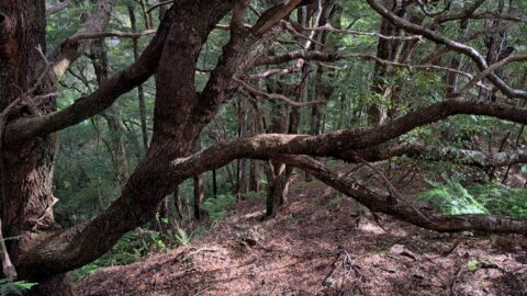
Beech trees grow along a remote ridge within Wainuiomata Regional Park. There are no formed tracks leading to this...
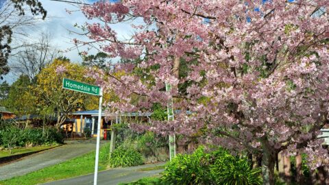
While Hine Road is best known for its brilliant autumn colours, spring brings a vibrant display of its own.
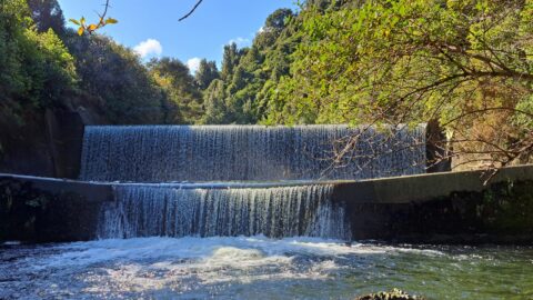
At the base of the spillway at Lower Dam in Wainuiomata Regional Park, the Wainuiomata River is channelled through...
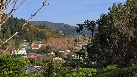
Looking down onto Main Road in Wainuiomata, with a section of the Coast Road valley visible in the distance.
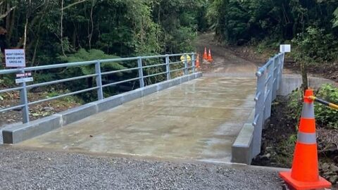
A new bridge has been built at George Creek in the Wainuiomata Catchment after a 2023 flood destroyed the...
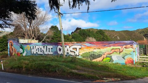
This old farm building at 864 Coast Road features artwork bearing the words 'Wainui Coast', a nod to the...
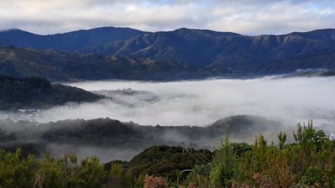
Given the topography of the land in Wainuiomata, its surrounding hills often trap mist, creating a still, atmospheric landscape.
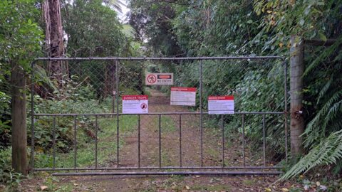
This gate blocks public access to Maintenance Road, which runs parallel to Reservoir Road and higher up the hillside.

The Wainuiomata Mitre 10 store is a recent addition to the local community, officially opening its doors on Saturday,...
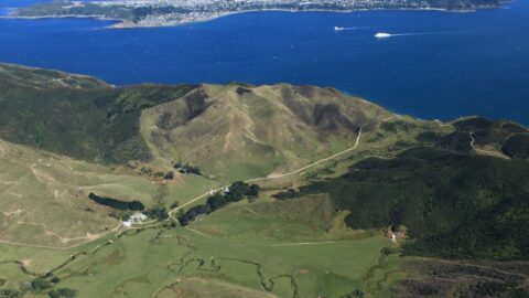
The Greater Wellington Regional Council has successfully purchased a 1366-hectare parcel of land in Gollans Valley Wainuiomata.
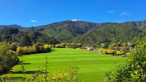
This view over eastern Homedale, including Richard Prouse Park, has been a popular vantage point for photography since the...
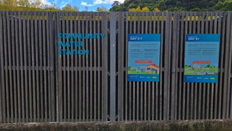
The Wainuiomata Community Water Station serves as a crucial component of the region's emergency water supply network.
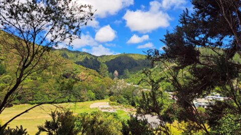
View of Hine Road Recreation Area as seen from a hill behind Reservoir Road. Sunny Grove (once known as...
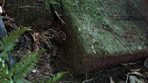
A recently discovered rectangular concrete slab in the Wainuiomata bush features a small metal door engraved with the letters...
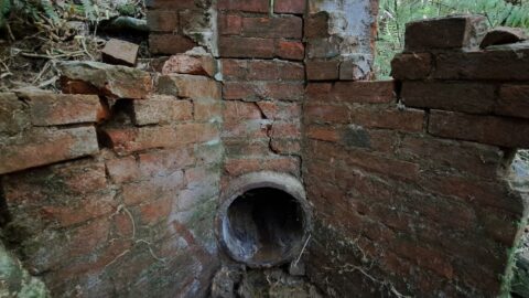
This recently discovered drainage pipe, dating back to the 1880s, was constructed to channel a creek beneath an earth...
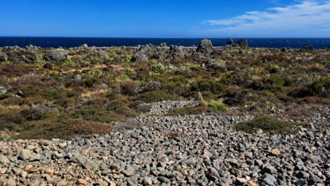
This gravel beach ridge marks the shoreline as it was approximately 2,300 years ago. Beyond this, there are 2...
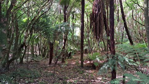
Nikau Creek Terrace is a plateau located on the opposite bank of Nikau Creek, running parallel to Nikau Creek...
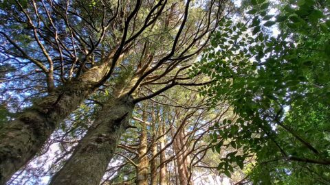
In Nikau Valley lies this strand of young Kahikatea trees standing gracefully amidst the lush surroundings.
WAINUIOMATA TOURS

Step into the wilderness of Wainuiomata and experience it for yourself. Learn more →.
WAINUIOMATA MUSEUM

Located in Wainuiomata Primary School, it is open 2pm-4pm every Sunday. Learn more →.
BUY ME A COFFEE
Support Wainuiomata.Net with a donation and help us continue to uncover local history, capture photos, drink coffee, and promote Wainuiomata.
Scan or click the code below:


Support
Make a donation and help us continue to uncover local history, capture photos, drink coffee, and promote Wainuiomata.
Scan or click the code below:
DISCUSSION