
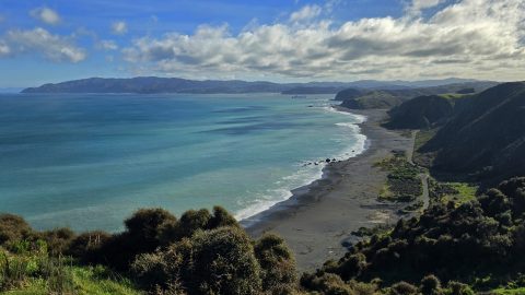
Fitzroy Bay is on the eastern side of the entrance to Wellington Harbour. It sits between Pencarrow Head to...
Wainuiomata: Photos (Page 2)
Photographic timeline of Wainuiomata
Documenting Wainuiomata with an ever growing collection of photos. This includes locations such as the town centre, suburbs, landscapes, coastline, rivers, and reserves.
Photo articles are dated by the age of the main photo or the main subject rather than when the article was written. This places the photos in a timeline. Some photos date back to the 1800s. We either have permission to show these old photos or they have no copyright. Modern photos on the site were taken by David Johnson of Wainuiomata.Net unless otherwise specified.
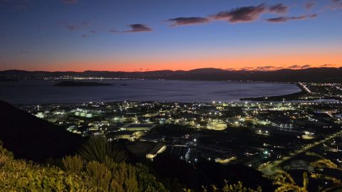
Wainuiomata Lookout' presents panoramas of Wellington Harbour, Wellington city, The South Island, and Lower Hutt including Petone & Seaview.
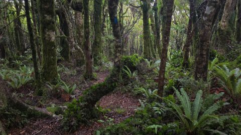
The forest surrounding the Old Whakanui Track changes noticeably as the route climbs the 600 metre plus hillside.
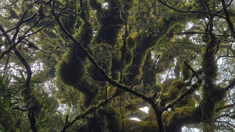
This moss-laden tree stands on the East Whakanui Track near the top of a ridge, where moisture-laden winds sweep...
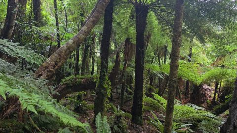
The forest surrounding the Old Whakanui Track changes noticeably as the route climbs the 600 metre plus hillside.
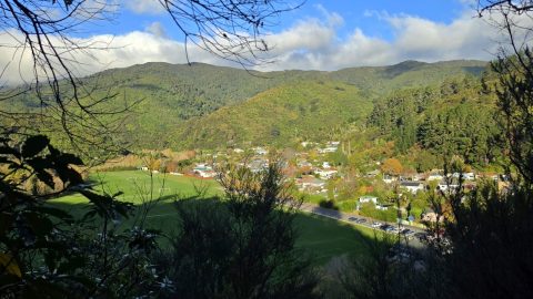
View of The Rock, a large hill behind Moores Valley Road that was once quarried. It likely gained its...
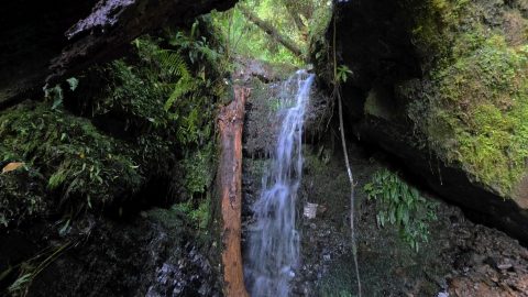
David Falls is a remote waterfall hidden deep in Nikau Gully, Wainuiomata, well beyond established tracks and absent from...
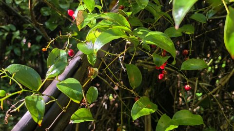
Supplejack, also known as kareao, is a native climbing plant often seen winding its way through New Zealand forests.
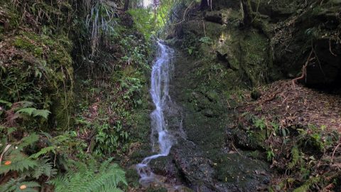
Along the creek are three main waterfalls commonly referred to as the Lower, Middle, and Upper Falls, along with...
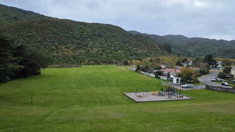
Ngaturi Park below Coast Road, sits within the lower Wainuiomata Valley and features wide open sports fields.
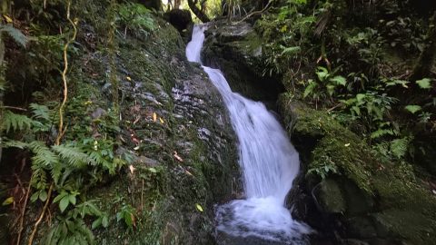
Scholes Creek Waterfall is located on Scholes Creek and can traditionally be reached via the Scholes Creek Track through...
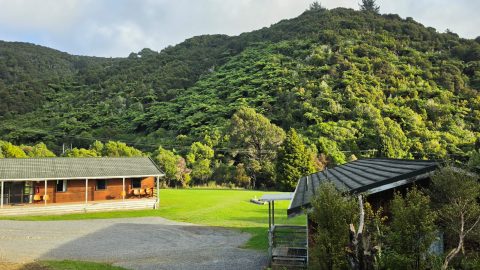
Peter Burgess Lodge Complex at Camp Wainui is a group accommodation facility in Wainuiomata, offering lodges, dining facilities, and...
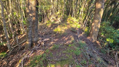
Bruce’s Track links with the Mount Crowther Track and Camp Wainui. Although it is a lesser known route, it...
Discover Tony Falls, a remote waterfall hidden in the bush behind Sunny Grove, Wainuiomata, reached via Skerretts Creek and...
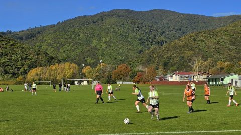
Wainuiomata AFC Women’s Firsts defeated Naenae Football Club Dragonflies 4–1 on Sunday at Richard Prouse Park.
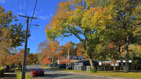
Hine Road is best known for its brilliant autumn colours. Each year, the street transforms into a corridor of...
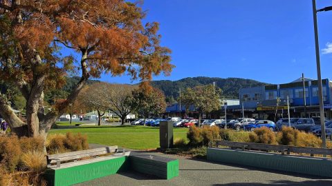
Queen Street scene in Autumn shows one of Wainuiomata's main commercial streets as the season begins to change.
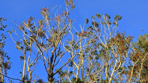
Right now, holly trees in numerous locations in Wainuiomata are emblazoned with red berries, giving the scene a distinctly...
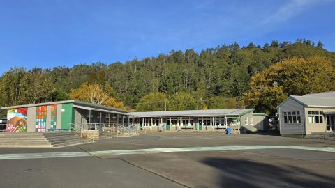
Peter Burgess Lodge Complex at Camp Wainui is a group accommodation facility in Wainuiomata, offering lodges, dining facilities, and...
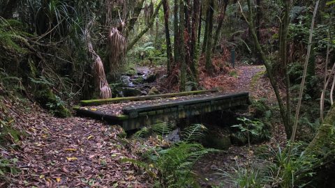
Looking at the Whakanui Track bridge at the start of the track near the top of Sunny Grove in...
WAINUIOMATA TOURS

Step into the wilderness of Wainuiomata and experience it for yourself. Learn more →.
WAINUIOMATA MUSEUM

Located in Wainuiomata Primary School, it is open 2pm-4pm every Sunday. Learn more →.
BUY ME A COFFEE
Support Wainuiomata.Net with a donation and help us continue to uncover local history, capture photos, drink coffee, and promote Wainuiomata.
Scan or click the code below:


Support
Make a donation and help us continue to uncover local history, capture photos, drink coffee, and promote Wainuiomata.
Scan or click the code below:
DISCUSSION