
Discover the summits that shape Wainuiomata’s landscape.
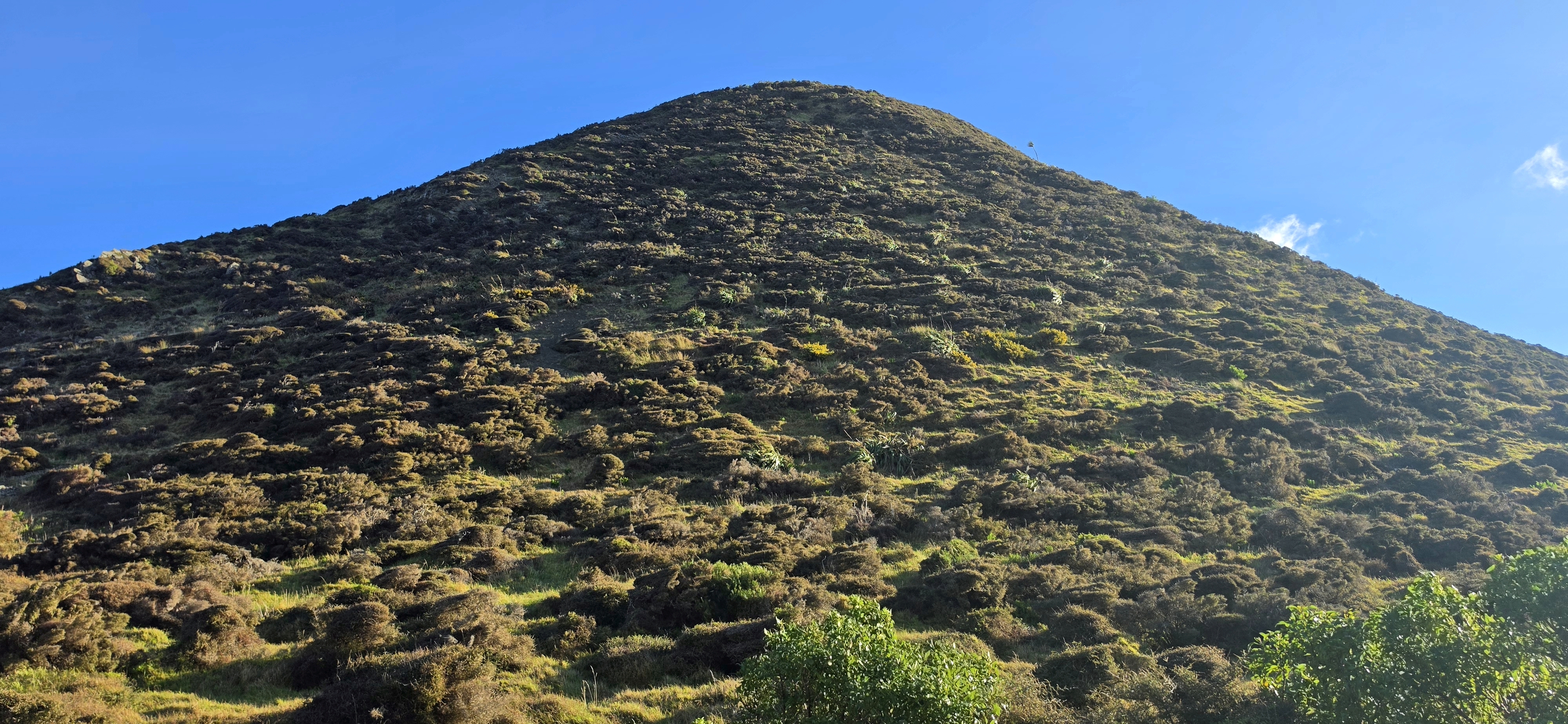
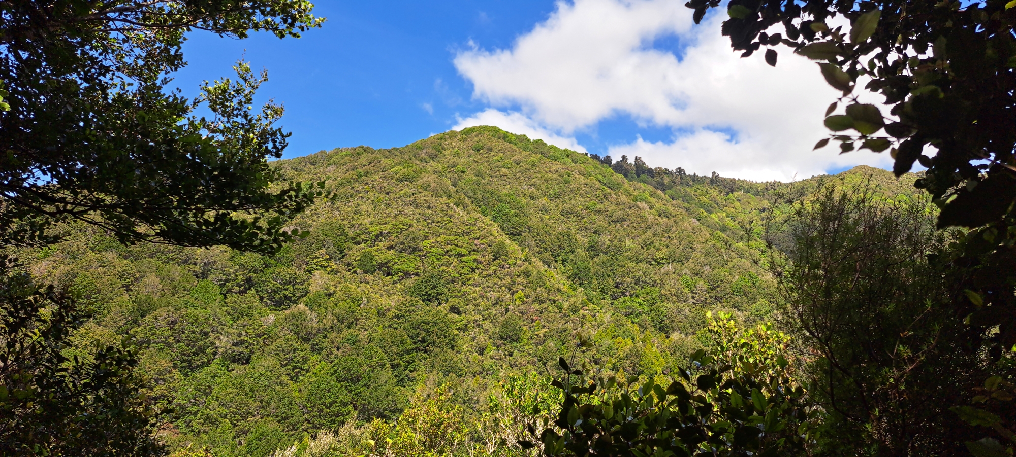
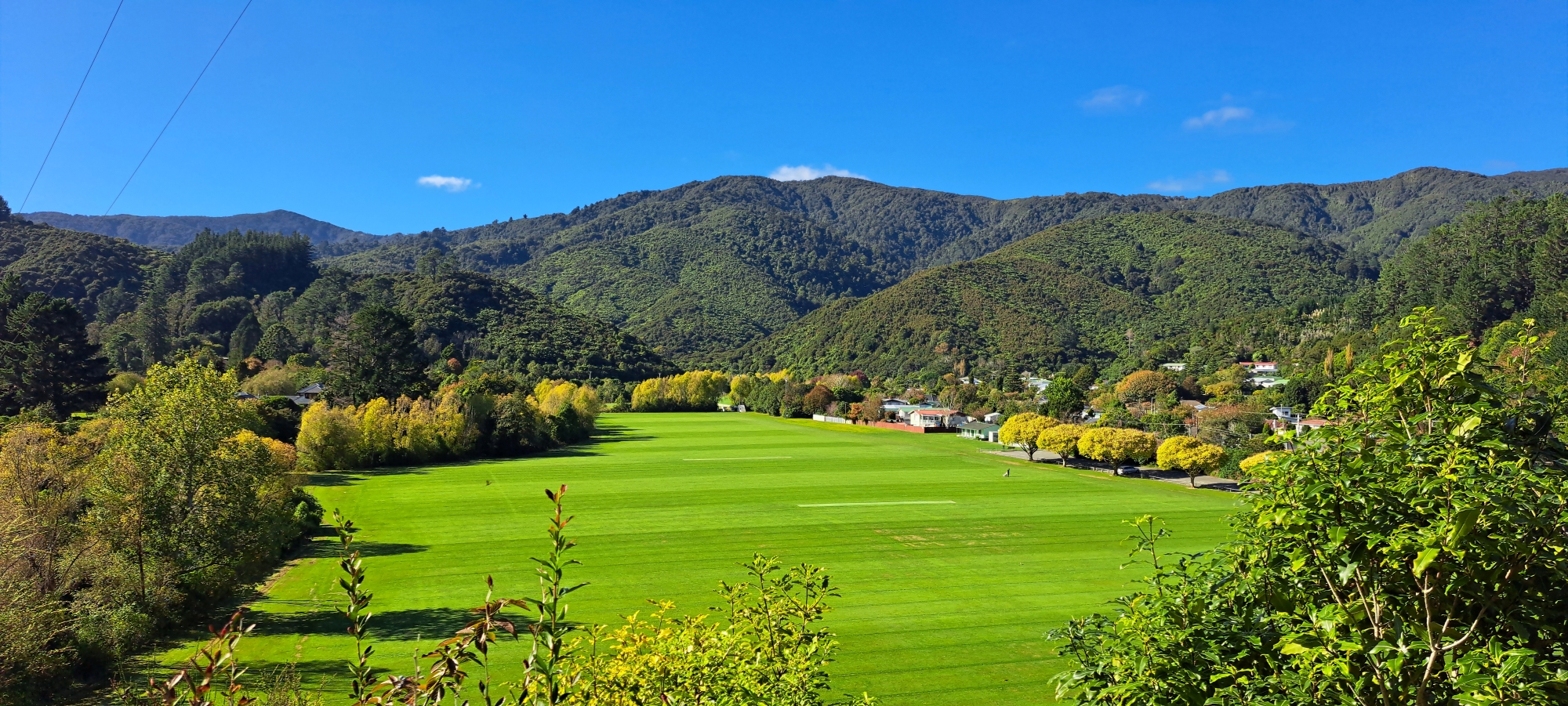
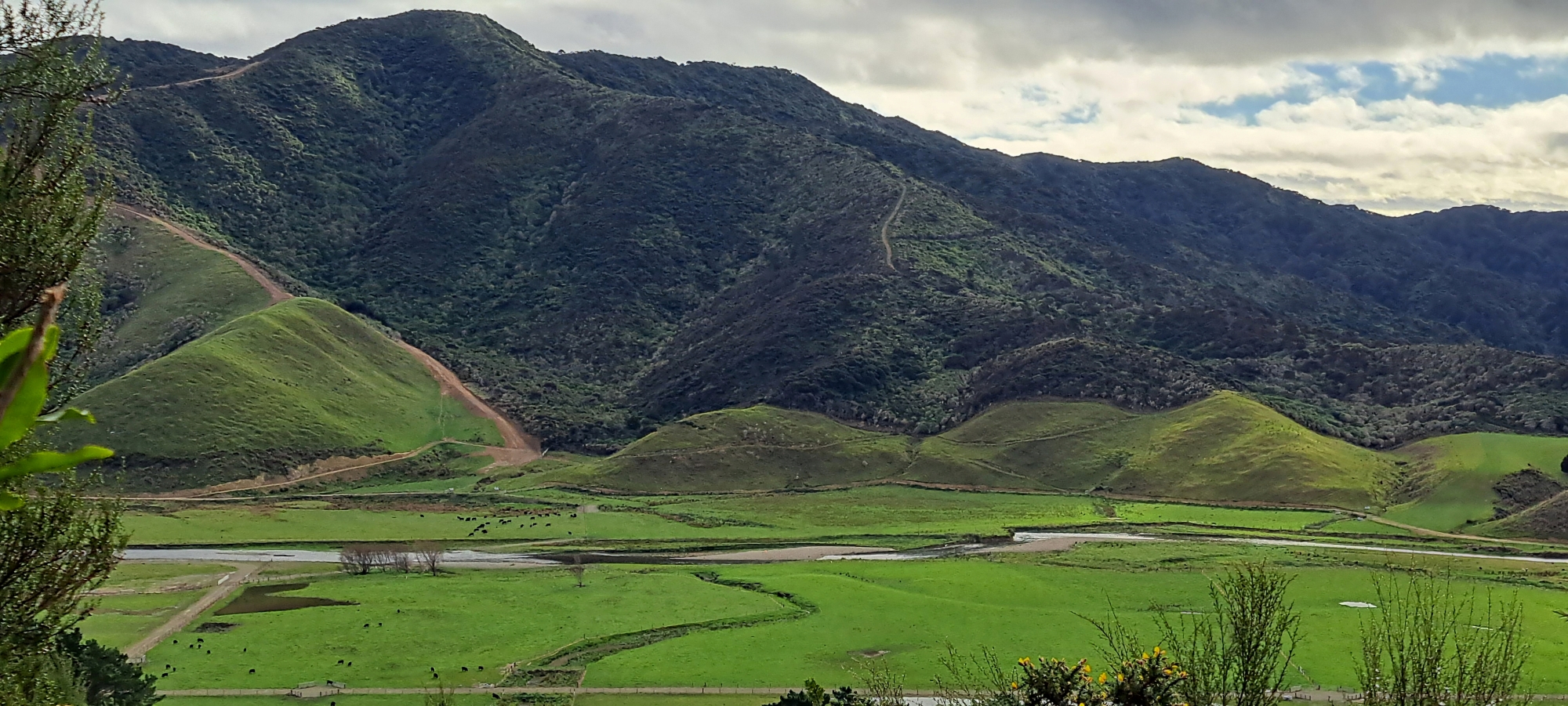
Wainuiomata is defined by the hills that surround it. From the forested ranges around the main residential basin to the higher country of the water catchment, Ōrongorongo Valley and the rugged hills near the coast, peaks and ridgelines form much of the area’s natural boundary.
Many of these high points have been named for generations. An 1882 topographical survey of Wainuiomata records dozens of named peaks and hills, showing that early settlers and surveyors had already developed a detailed vocabulary for the surrounding landscape. Some names, such as McKerrow, Lowry, Puketahā, Crowther, Para and Mt Matthews, remain recognisable today, while others have largely disappeared from modern maps.
Mount Matthews – 941 metres
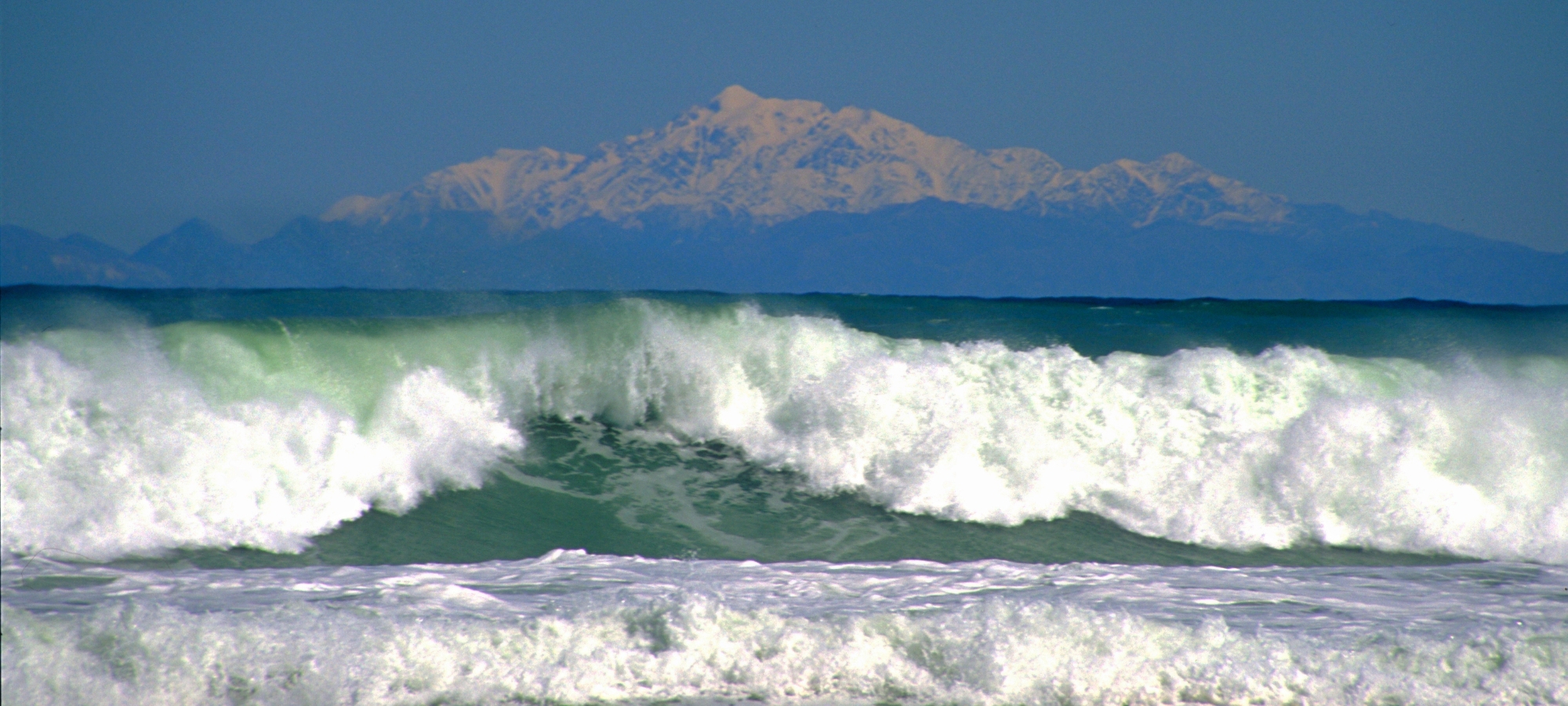
Mount Matthews is one of the dominant peaks of the southern Remutaka Range. Rising above the Ōrongorongo Valley, it reaches 941 metres and towers over much of the surrounding Wainuiomata landscape. The mountain is reached by a demanding tramping route from the Catchpool area and provides a strong visual backdrop to the wider district.
Mount McKerrow – 706 metres
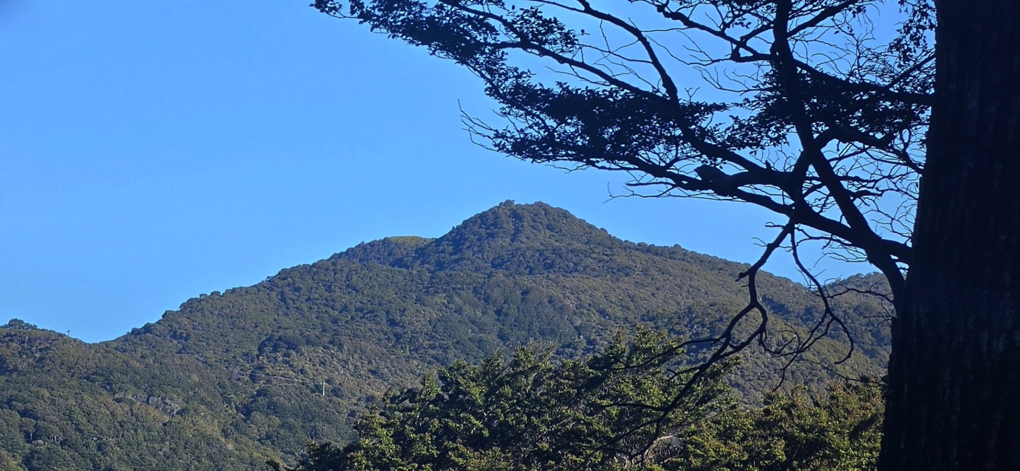
Mount McKerrow is a prominent forest-covered mountain on the eastern side of Wainuiomata. The McKerrow Track follows the high ridge between Wainuiomata and the Ōrongorongo Valley, with occasional views over Wainuiomata and the Hutt Valley. The summit itself is heavily forested and can be surprisingly inconspicuous when approached along the ridge.
Puketahā – 558 metres
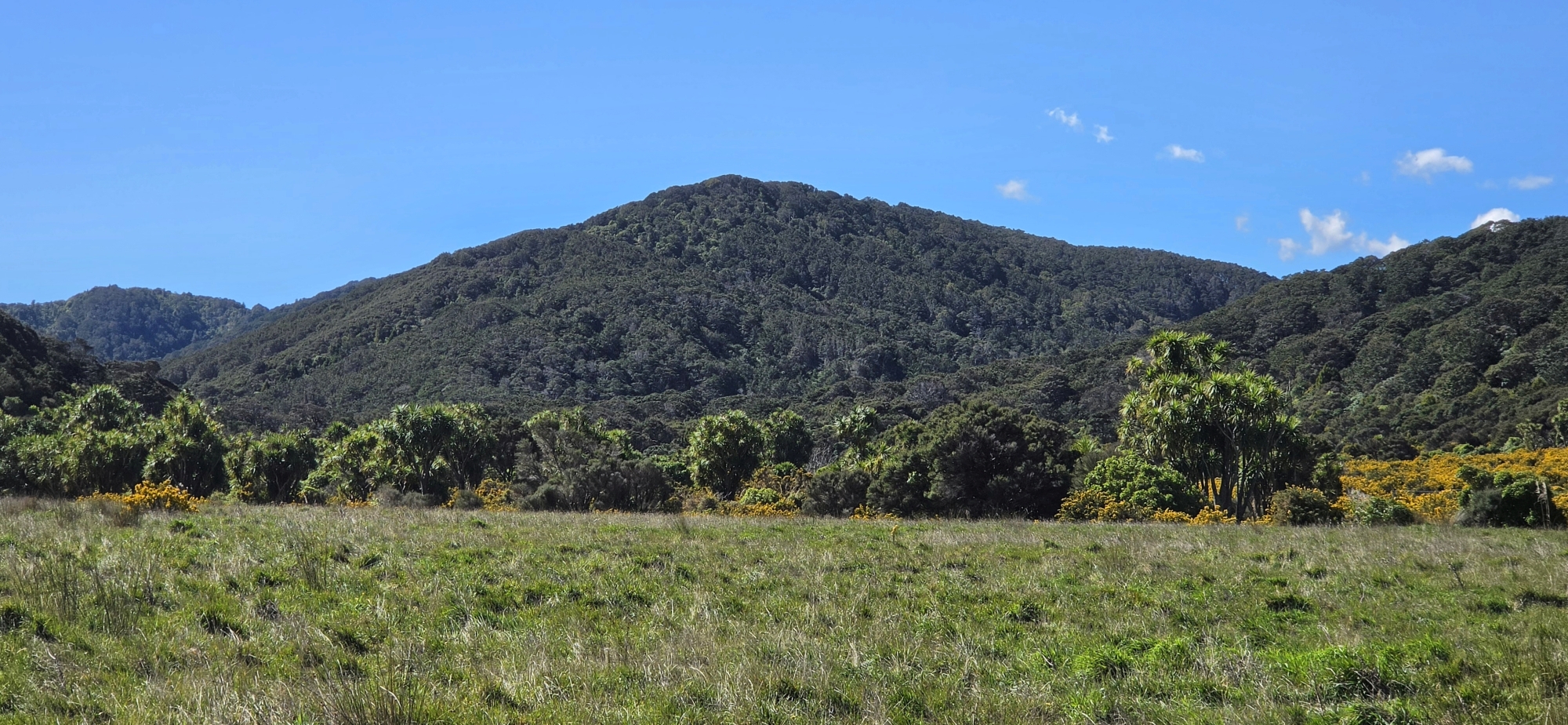
Puketahā lies deep within the Wainuiomata water catchment and is surrounded by some of the most intact native forest in the district. The name has also been used for the proposed Puketahā Wildlife Sanctuary, which would protect a large area of old-growth forest within the catchment.
Mowlem – 386 metres
Mowlem is one of the high points surrounding the northern Wainuiomata basin. The name appears on nineteenth-century maps and is associated with the Mowlem family, one of Wainuiomata’s early settler families. The hill forms part of the elevated land that helps define the shape of the valley.
Mount Lowry – about 373 metres
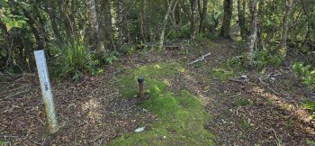 Mount Lowry is the highest point in the Northern Forest section of East Harbour Regional Park. The forested summit can be reached from Wainuiomata by tracks including Rātā Ridge and the Main Ridge Track. Although the summit itself is enclosed by bush, nearby openings provide views towards Wellington Harbour and across Wainuiomata.
Mount Fitzherbert
Mount Fitzherbert is situated on the range separating Wainuiomata from the Hutt Valley. It is one of the older named peaks around the northern end of the valley and appears on nineteenth-century mapping of the district.
Towai – 348 metres
Towai is another of the hills forming the northern rim of the Wainuiomata basin. Although less prominent in local conversation than Lowry or McKerrow, it forms part of the high ground that gives the upper valley its enclosed character.
Sugarloaf Hill – 302 metres
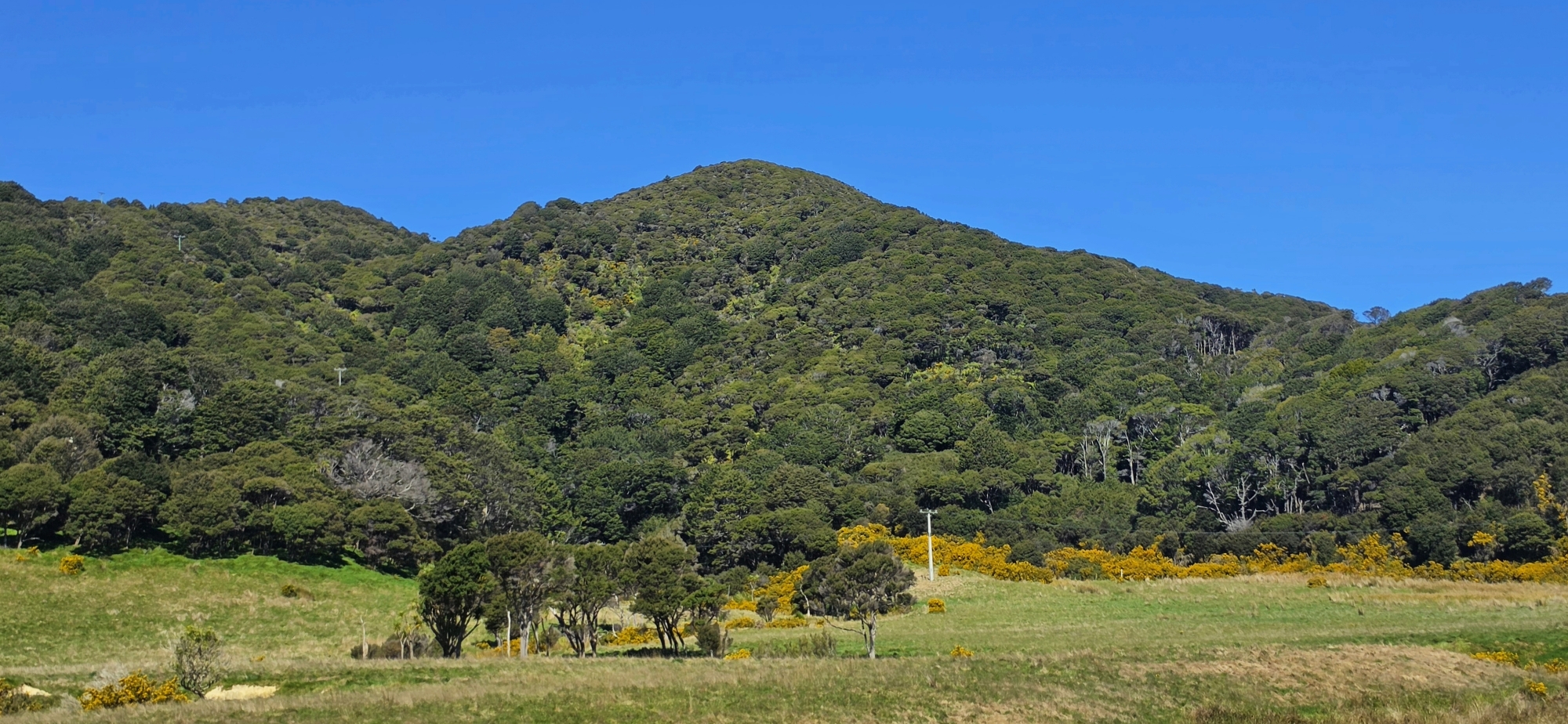
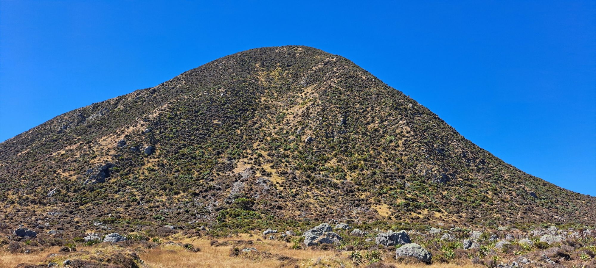
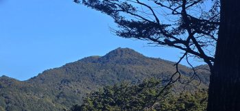 Sugarloaf Hill rises between the Coast Road valley and Gollans Valley and is one of Wainuiomata’s most distinctive smaller peaks. Its name comes from its cone-like shape, which resembled the traditional loaves in which refined sugar was once sold.
The hill also has links with early gold prospecting and was used during the Second World War, when a Home Guard bivouac was established there.
Mount Crowther
Mount Crowther stands above the Coast Road side of Wainuiomata and was named after early settler Frederick Kershaw Crowther. An old route over the mountain formed part of the original McKerrow Track, while a transmitter station was later established near the high point.
Mount Grace
Mount Grace is one of Wainuiomata’s older named high points and appears on nineteenth-century mapping. The name is associated with the Grace family, early settlers and landowners along Coast Road. Like several other early geographical names, Mt Grace provides a direct connection between the landscape and the families who settled Wainuiomata during the nineteenth century.
Para Hill / Mt Para
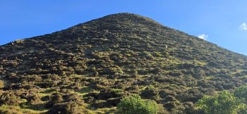 Para Hill rises above the Baring Head / Ōrua-pouanui area near the southern entrance to Wellington Harbour. Its exposed position provides extensive views across Cook Strait and the harbour entrance.
The hill later became strategically important, with a military observation post established there as part of Wellington’s coastal defence system.
Round Hill – 182 metres
Round Hill sits within the developed part of Wainuiomata and separates Parkway from neighbouring residential areas. The Kōnini/Parkway water reservoir occupies the high point, and the name can be traced back to early mapping of the valley.
The Rock
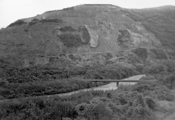
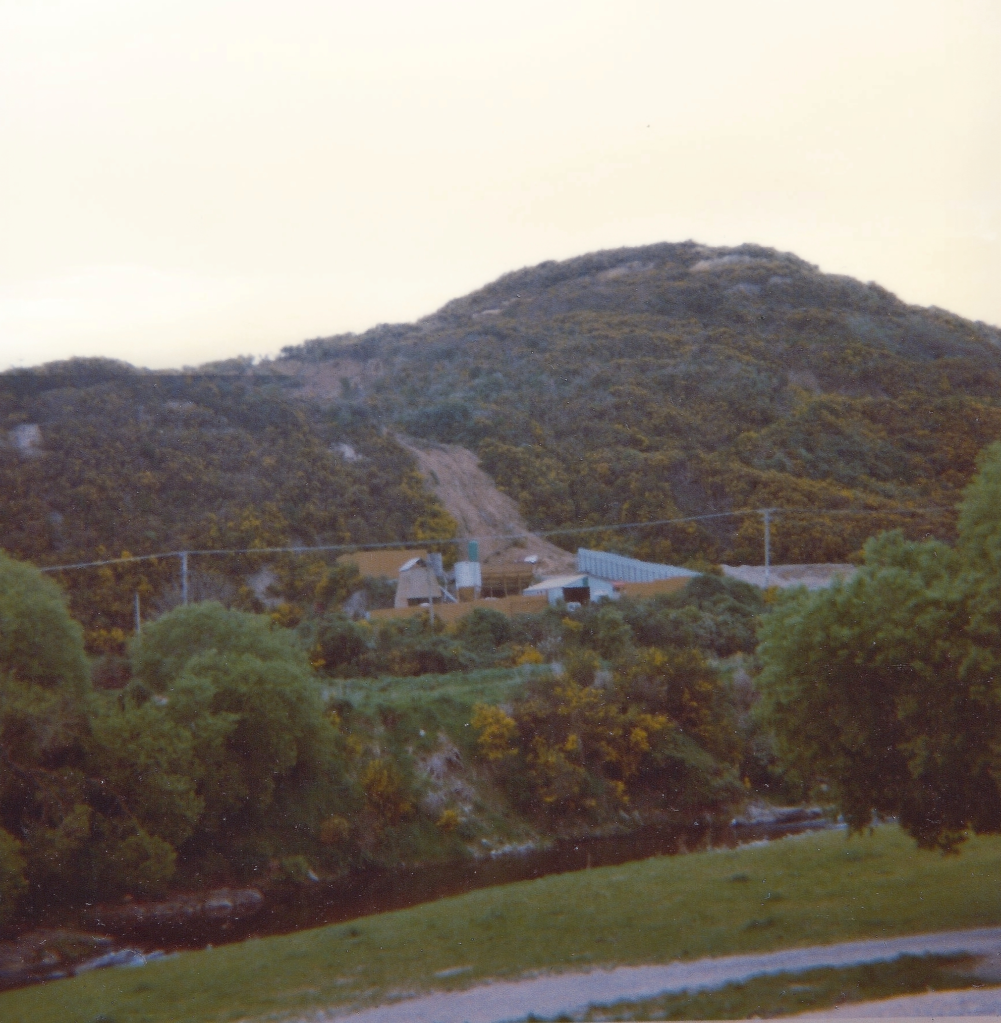
The Rock is a prominent hillside beside Moores Valley Road, where the road climbs from the suburban part of Wainuiomata towards the rural valley. The hill was quarried from the 1930s until the late 1970s, leaving exposed rock faces and terraces that have gradually become covered by regenerating native bush.
Historic peaks of Wainuiomata
Modern maps preserve only part of Wainuiomata’s remarkably rich collection of hill names. James Daniel Climie’s 1882 topographical survey recorded high points including Wainui, Mt Grace, Richmond, Mt Cameron, Hawtry, Totara, Sugar Loaf, Fitzherbert, Round Peak, Round Hill, Grassy, Mowlem, Lowry, Dicks, Pukeatea, Puketahā, Crowther, Sinclair, New Grace, McKerrow, Waengapu, Para, Waimarara, Tapokopoko, Devine, Mt Parks, Kotumu, Orongo, Mt Matthews, Morris and Misty.
Some were named after settlers, others described the appearance of the land, while several preserve Māori names. Over time, many disappeared from everyday use as farms changed ownership, tracks were rerouted and modern topographical maps adopted a smaller number of recognised geographical names.
Taken together, these peaks tell much of Wainuiomata’s story. They mark the boundaries between valleys and catchments, provided routes for early settlers and surveyors, carried tracks and communication equipment, supported wartime observation posts and today protect extensive areas of native forest.
They are also a reminder that Wainuiomata extends far beyond the suburban valley floor into a much larger landscape of ridges, mountains, forest and coast.





DISCUSSION