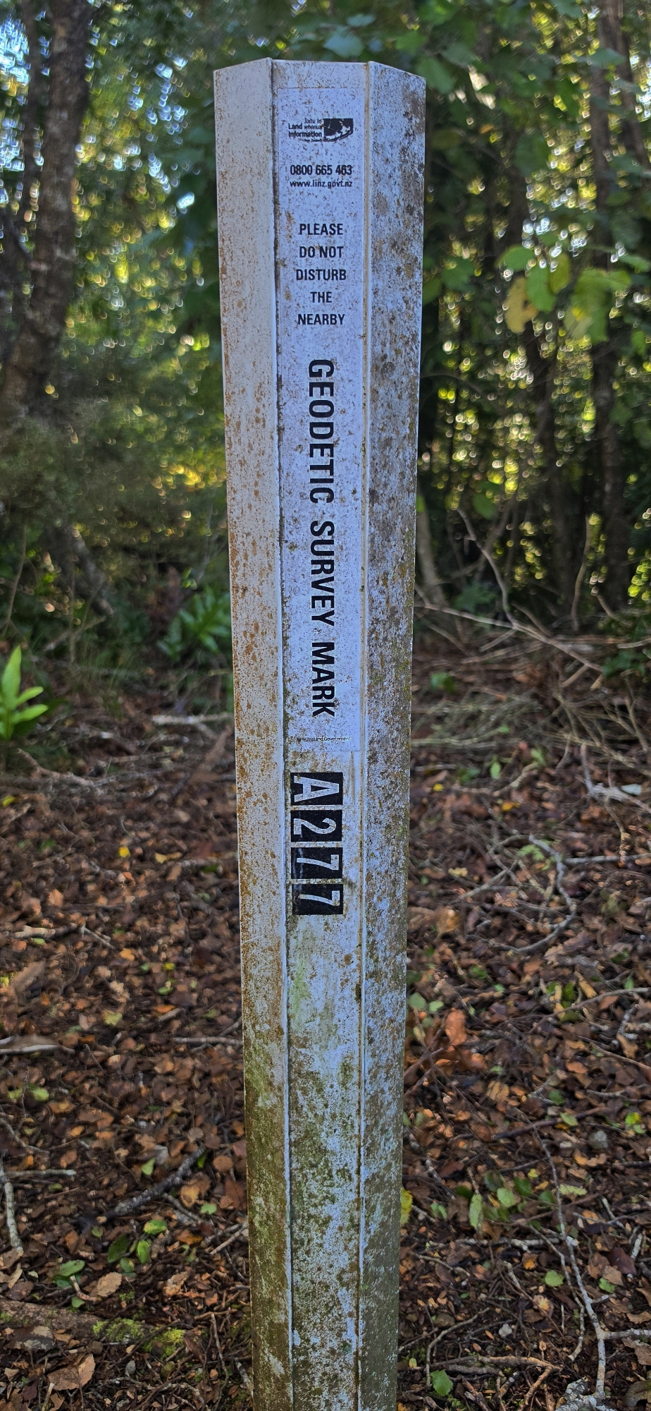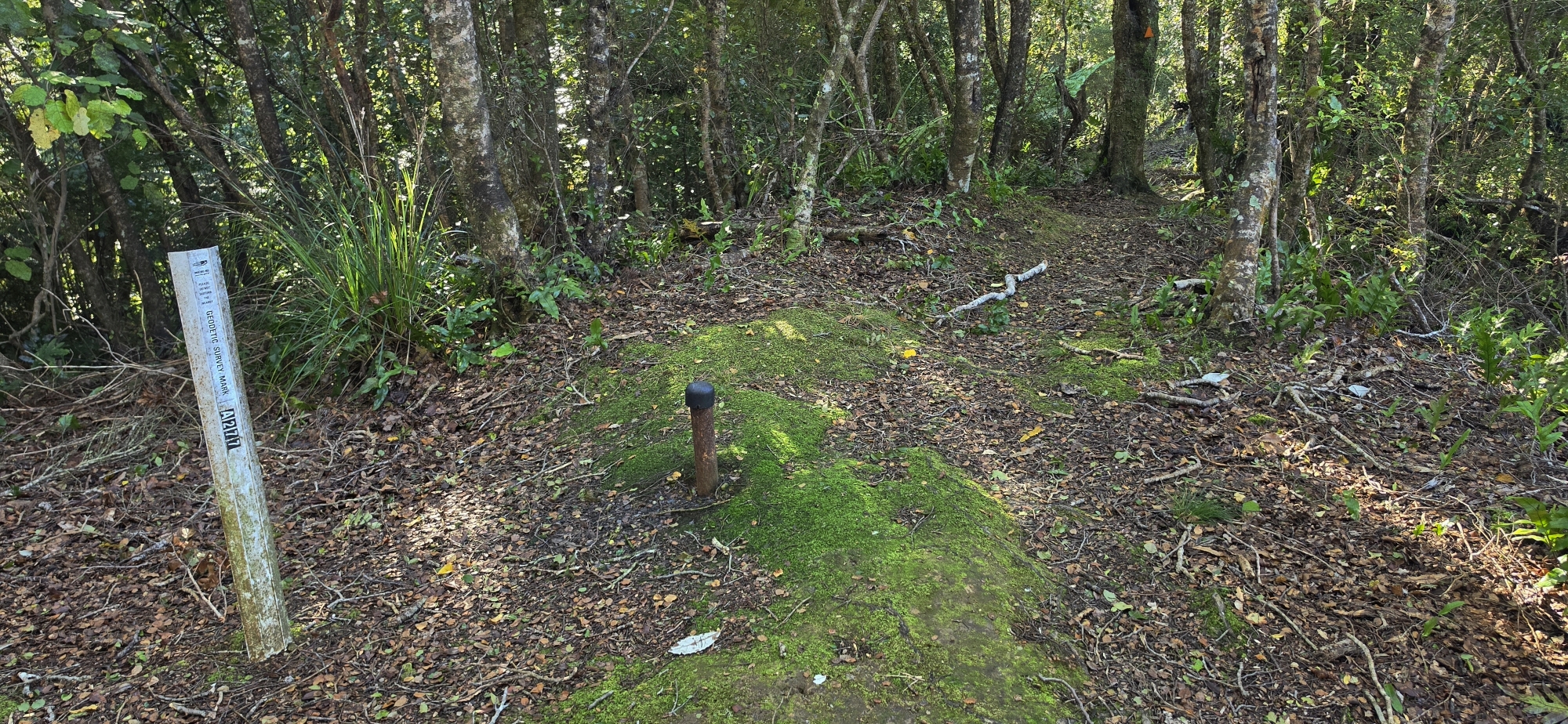
Mt Lowry Trig, marking the highest peak in the Northern Forest.
The highest point of the Northern Forest overlooking Wainuiomata and Wellington Harbour
Mt Lowry is one of the prominent peaks surrounding Wainuiomata and forms part of the forested range separating the valley from Wellington Harbour. Rising to approximately 373 metres, it is the highest point in the Northern Forest section of East Harbour Regional Park.
Although not a particularly high mountain by New Zealand standards, Mt Lowry occupies an important position in the local landscape. Its ridges fall away towards Wainuiomata on the eastern side and towards Whiorau/Lowry Bay and the harbour on the western side. From Wainuiomata, the mountain forms part of the heavily forested skyline along the north-western edge of the valley.
Lowry Trig
Near the summit is Lowry Trig, which marks the highest part of the mountain and is an important junction in the Northern Forest track network. The summit itself is surrounded largely by native bush, so the best views are generally obtained from openings and viewpoints along the approaches to the trig.
From these higher ridges there are views across Wainuiomata, the Hutt Valley and Wellington Harbour. The contrast between the enclosed Wainuiomata basin on one side of the ridge and the open harbour on the other is one of the features that makes Mt Lowry particularly interesting.
Native forest
Mt Lowry lies within the Northern Forest of East Harbour Regional Park, an extensive area of native forest covering the hills between Wainuiomata and the eastern harbour suburbs. Beech and rātā forest dominate much of this part of the park, with the higher ridges retaining a surprisingly wild character despite being close to suburban Lower Hutt.
The forest also hides much of the underlying terrain. Numerous steep spurs and gullies descend from the main ridge towards both Wainuiomata and the harbour, making the mountain appear quite different depending on the direction from which it is approached.
Reaching Mt Lowry from Wainuiomata
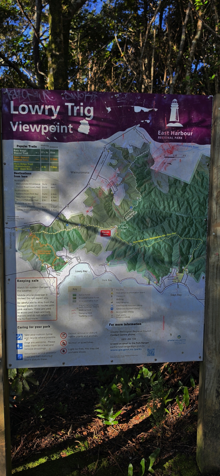
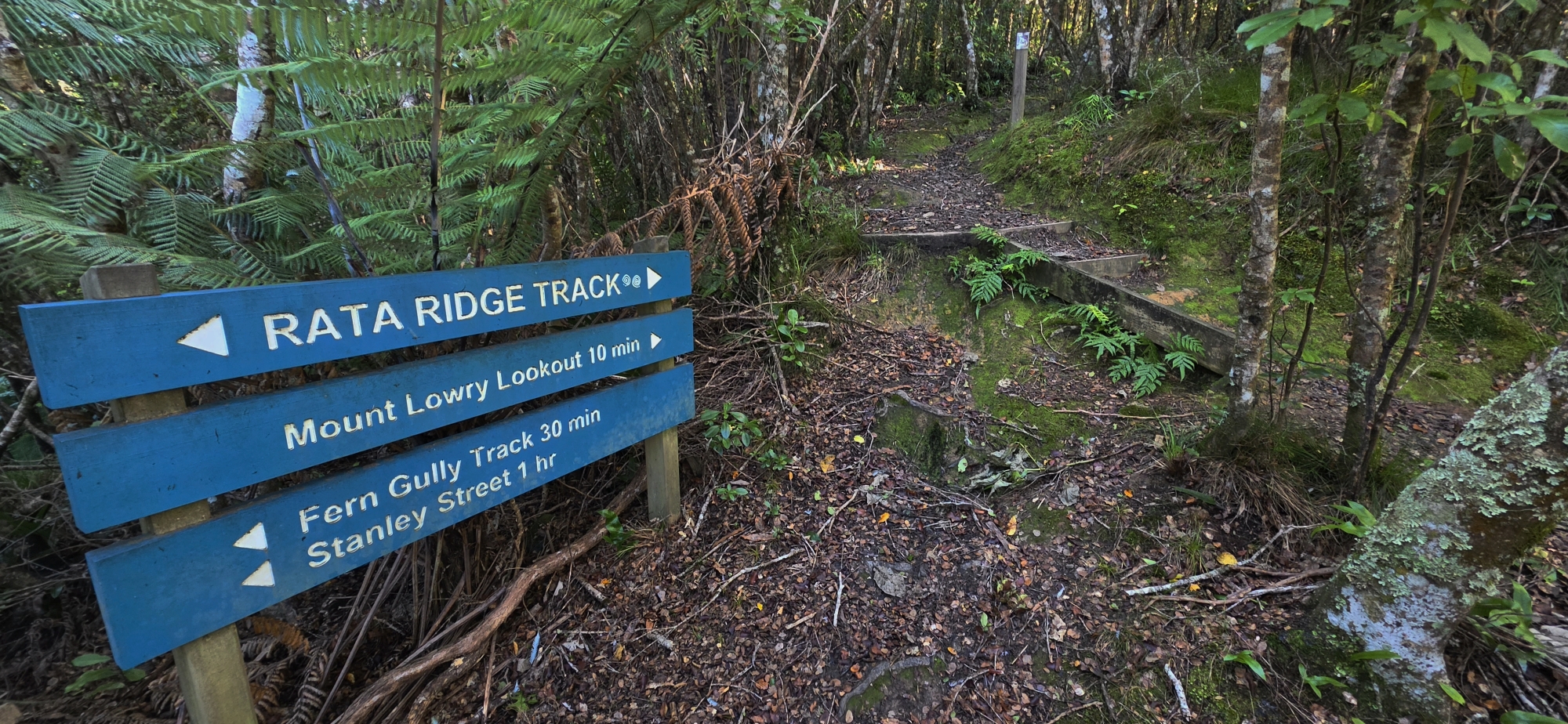
Mt Lowry can be approached from several directions, but two of the most useful routes from Wainuiomata are the Main Ridge Track and Rātā Ridge Track.
From near the summit of Wainuiomata Hill Road, the Main Ridge Track follows the high country south towards Lowry Trig. Another route begins at Stanley Street Track and follows Rātā Ridge uphill through regenerating bush and mature beech forest before reaching the trig. Rātā Ridge can also be joined from Lees Grove Track and elsewhere on the Wainuiomata side of the forest.
From Mt Lowry, the Main Ridge Track continues south through the Northern Forest, providing connections with tracks descending towards the eastern bays and Butterfly Creek.
The Lowry name
Mt Lowry shares its name with nearby Whiorau/Lowry Bay. The European name Lowry comes from Richard Jennings Lowry, first mate of the Tory, the New Zealand Company survey ship that arrived in Wellington Harbour in 1839. Historical place-name research also records Mt Lowry as having been named after him.
The mountain therefore carries one of the earliest European place names associated with this part of Wellington Harbour.
Behind Lowry Bay, an area of the surrounding hills was historically identified as the Lowry Bay District. The name was later also used in connection with parts of what is now Wainuiomata.
A landmark above Wainuiomata
For Wainuiomata, Mt Lowry is more than simply a summit. It forms part of the natural wall surrounding the valley and is a major meeting point for the tracks and ridges of the Northern Forest.
At 373 metres, Mt Lowry may be modest compared with the much higher peaks of the Remutaka Range further east, but its position immediately above Wainuiomata and Wellington Harbour makes it one of the most distinctive and accessible peaks in the local landscape.