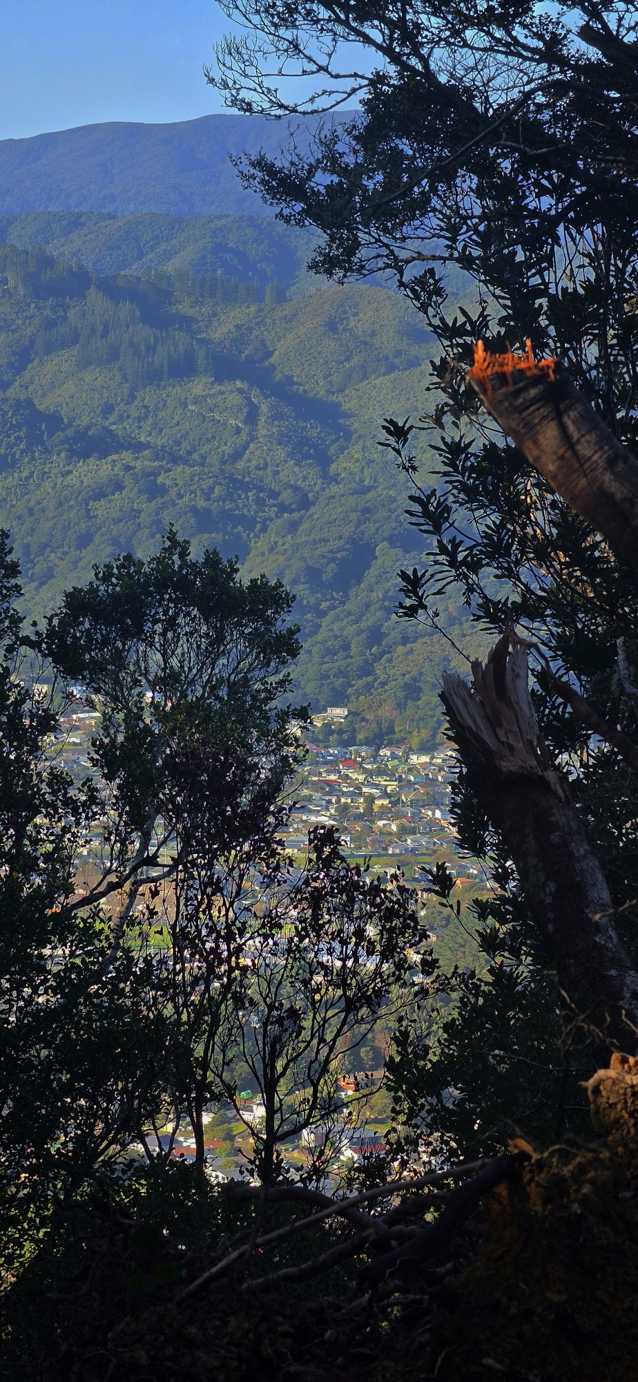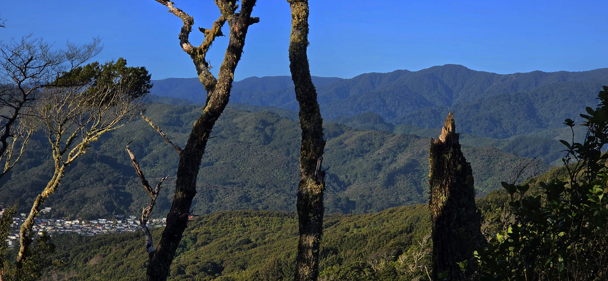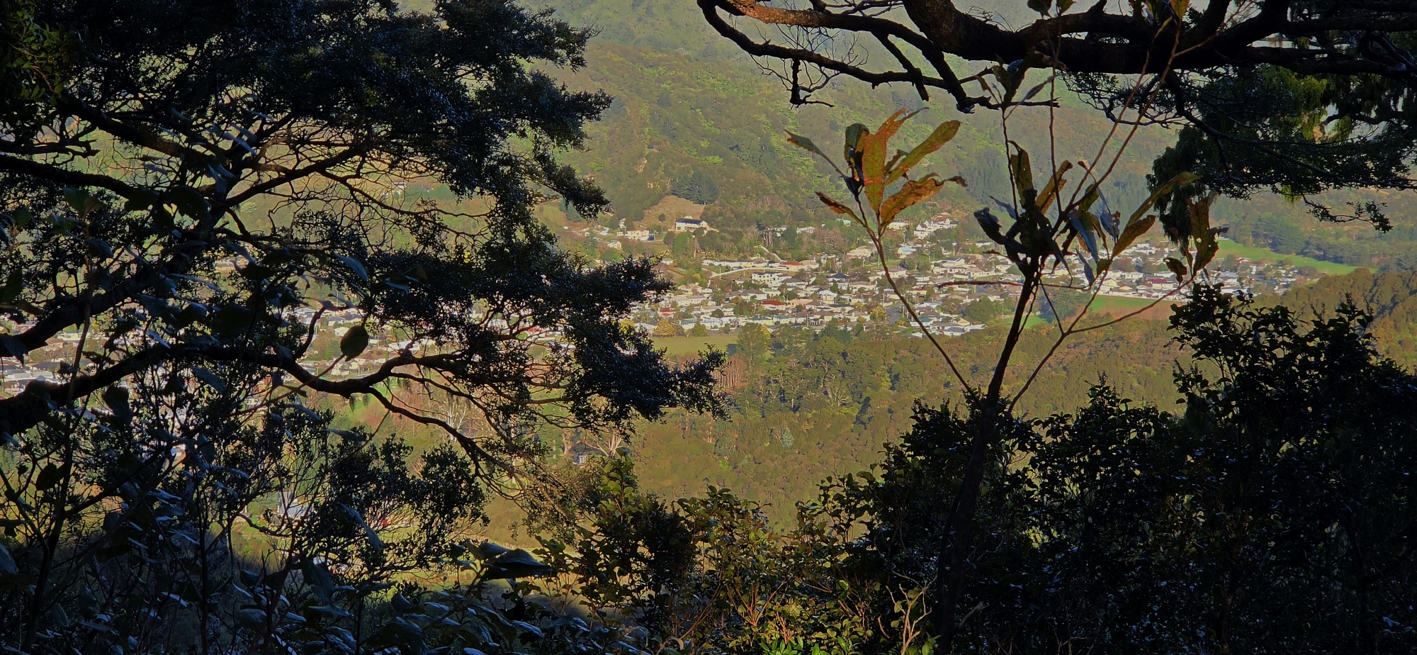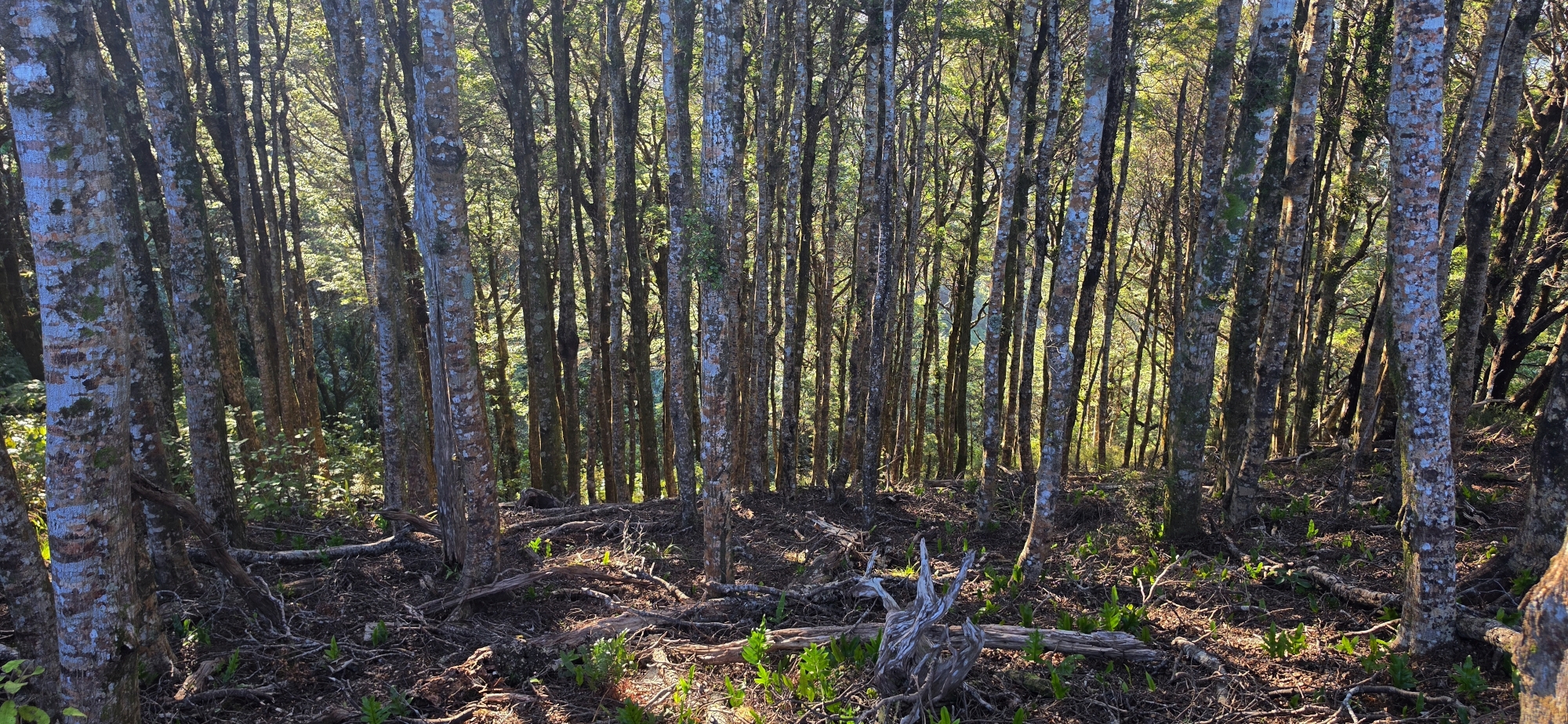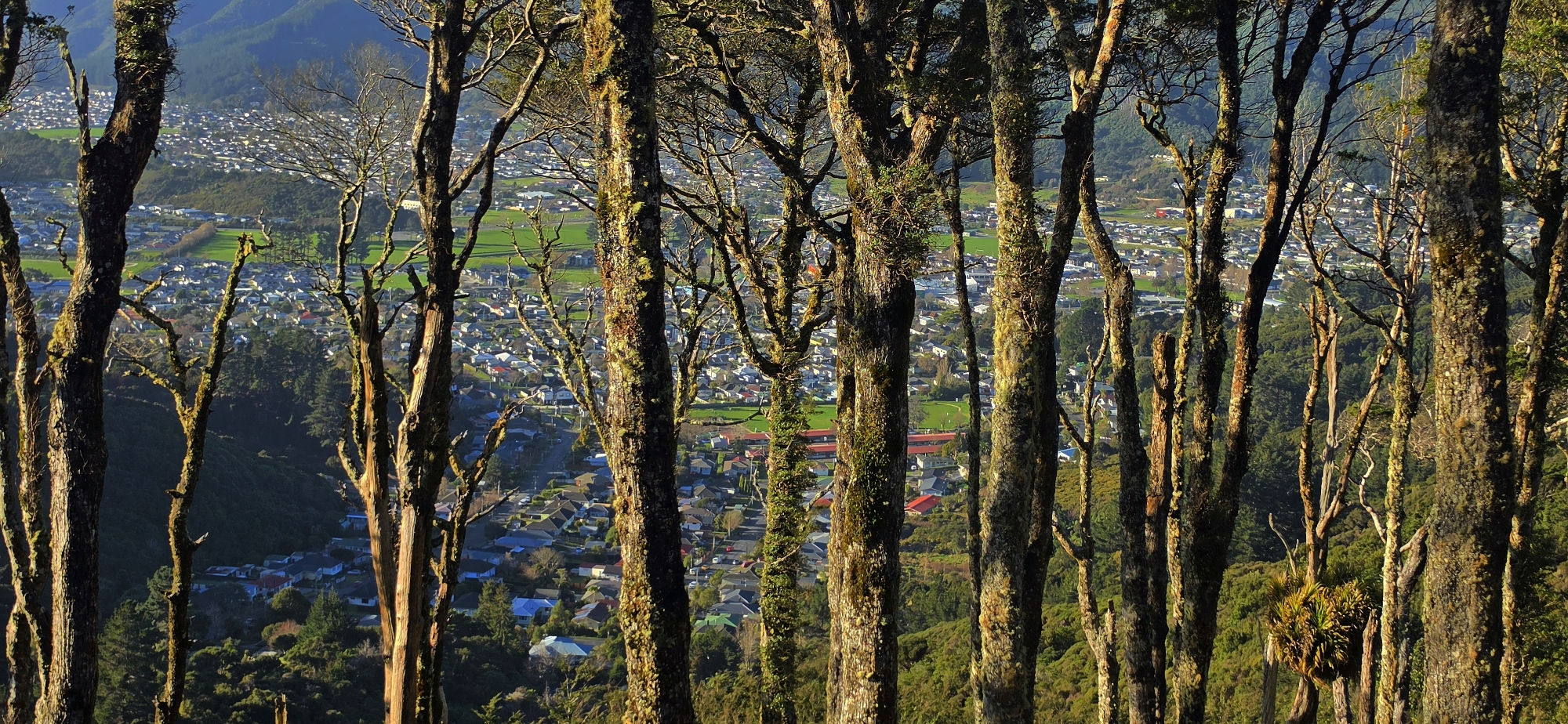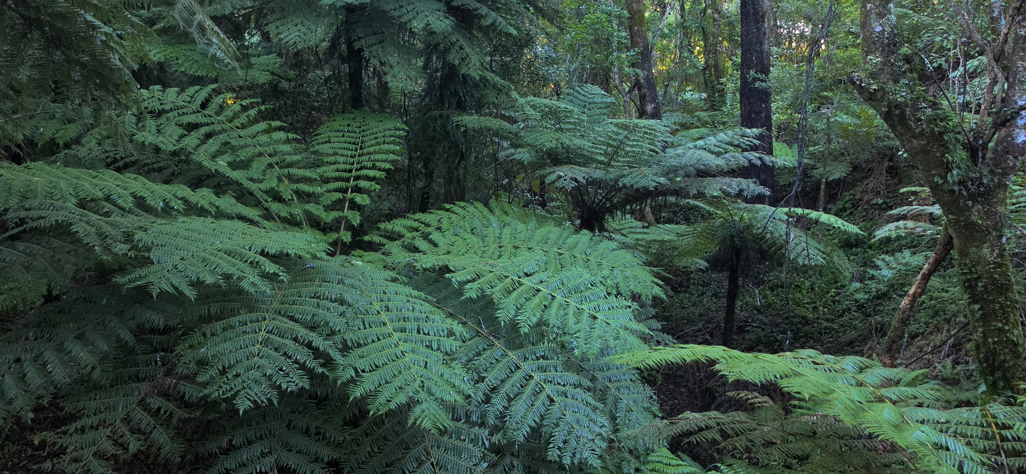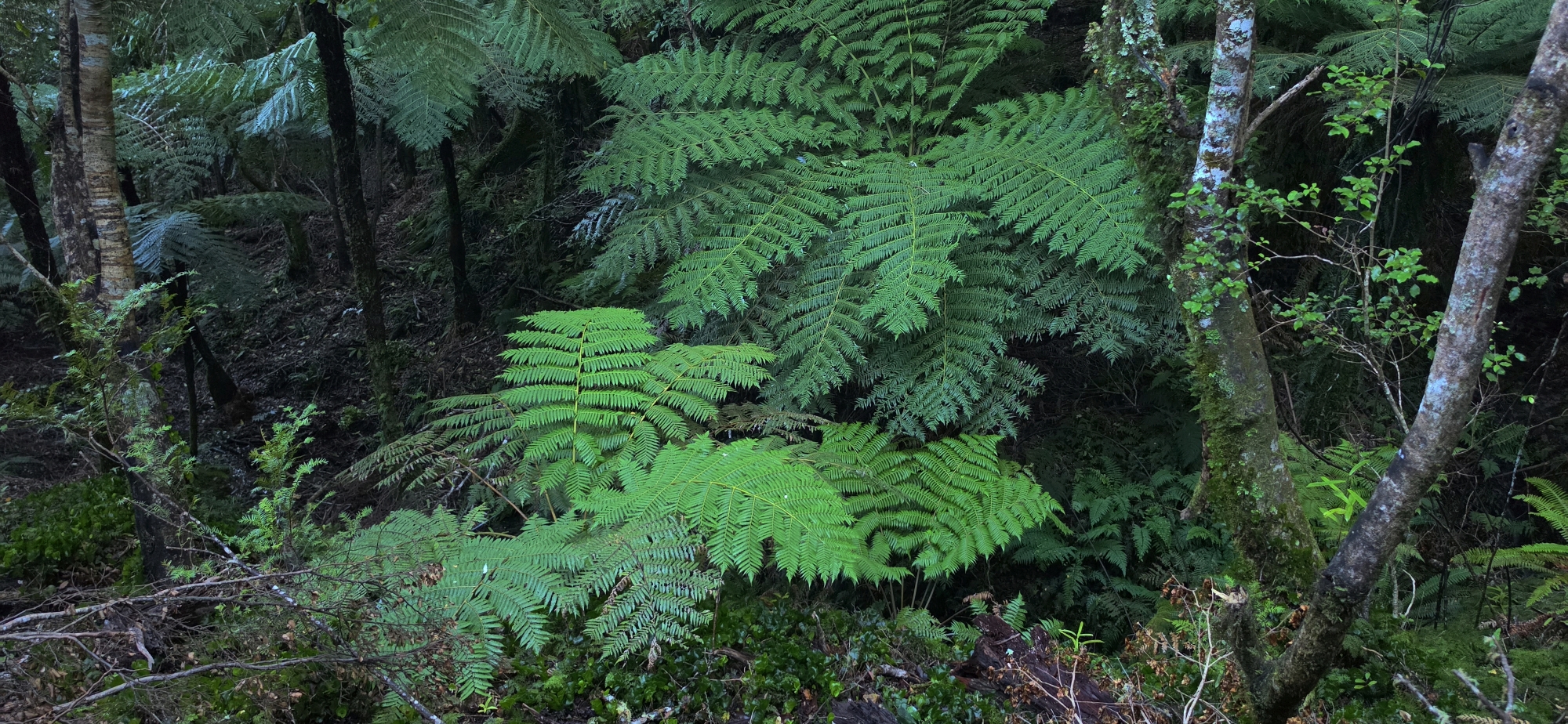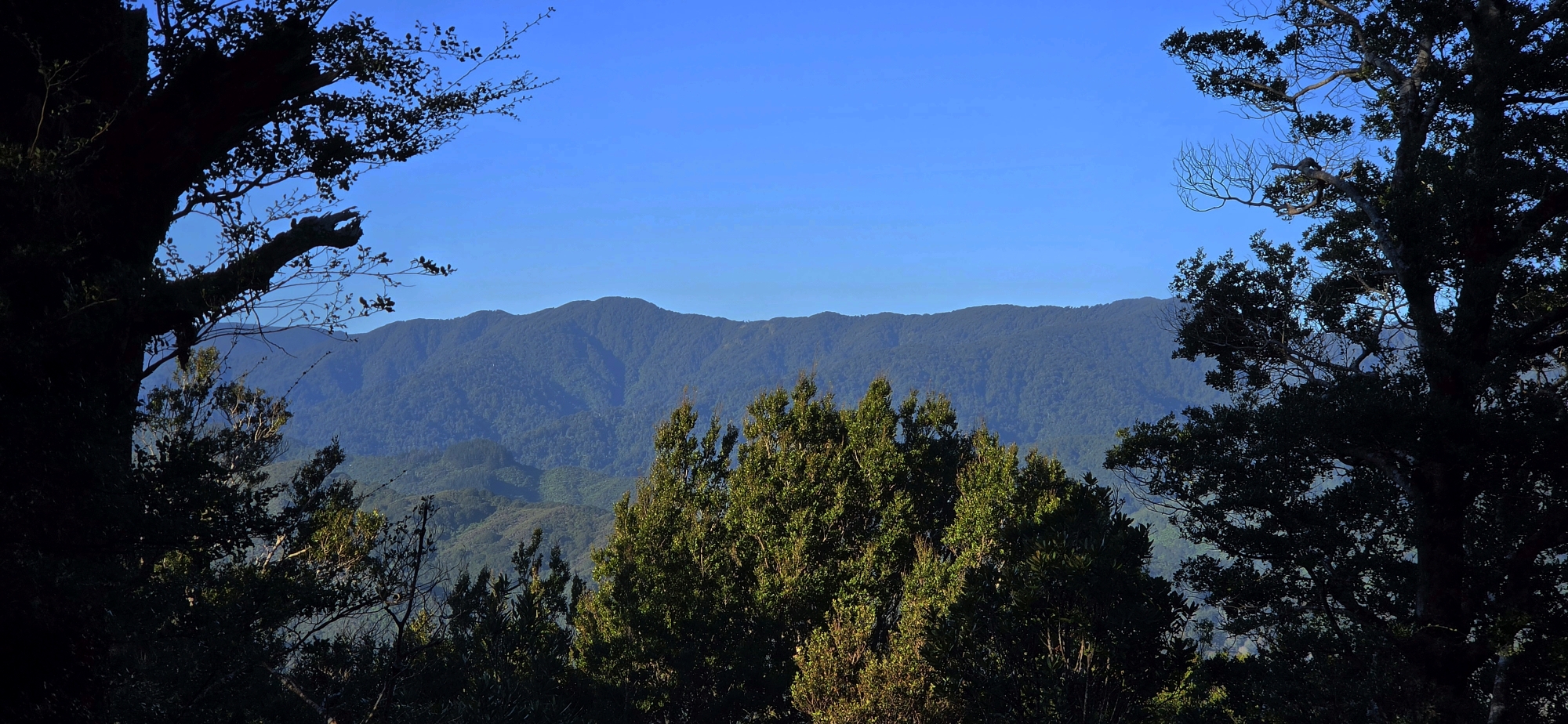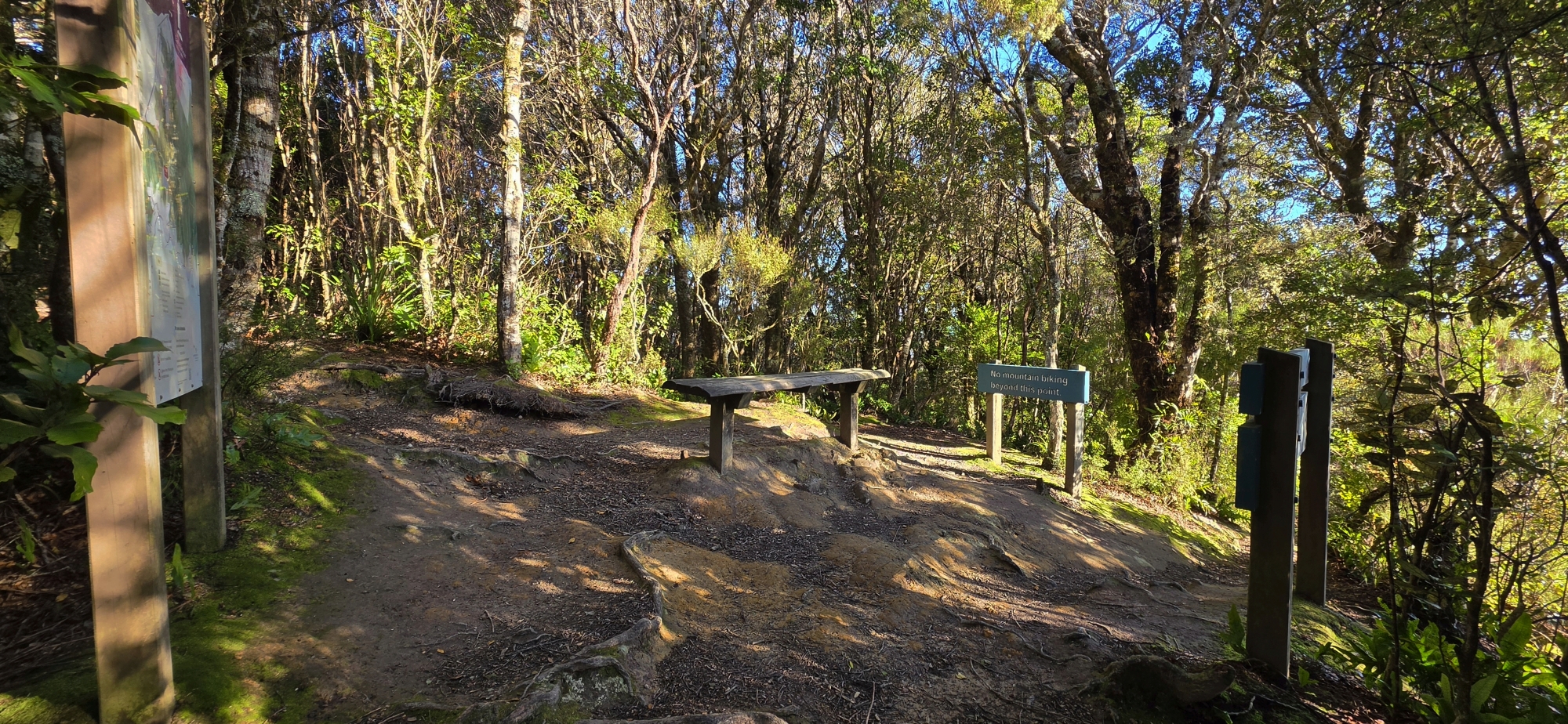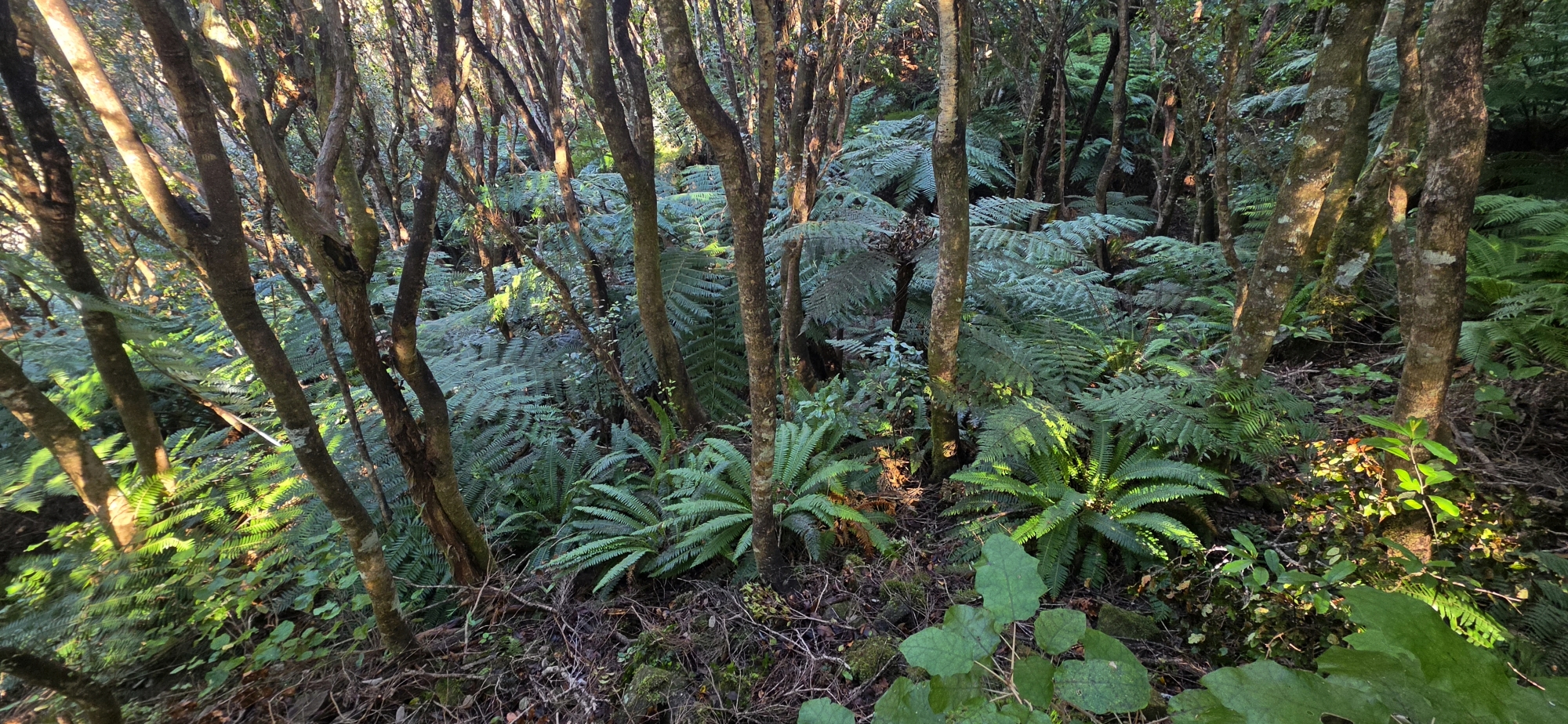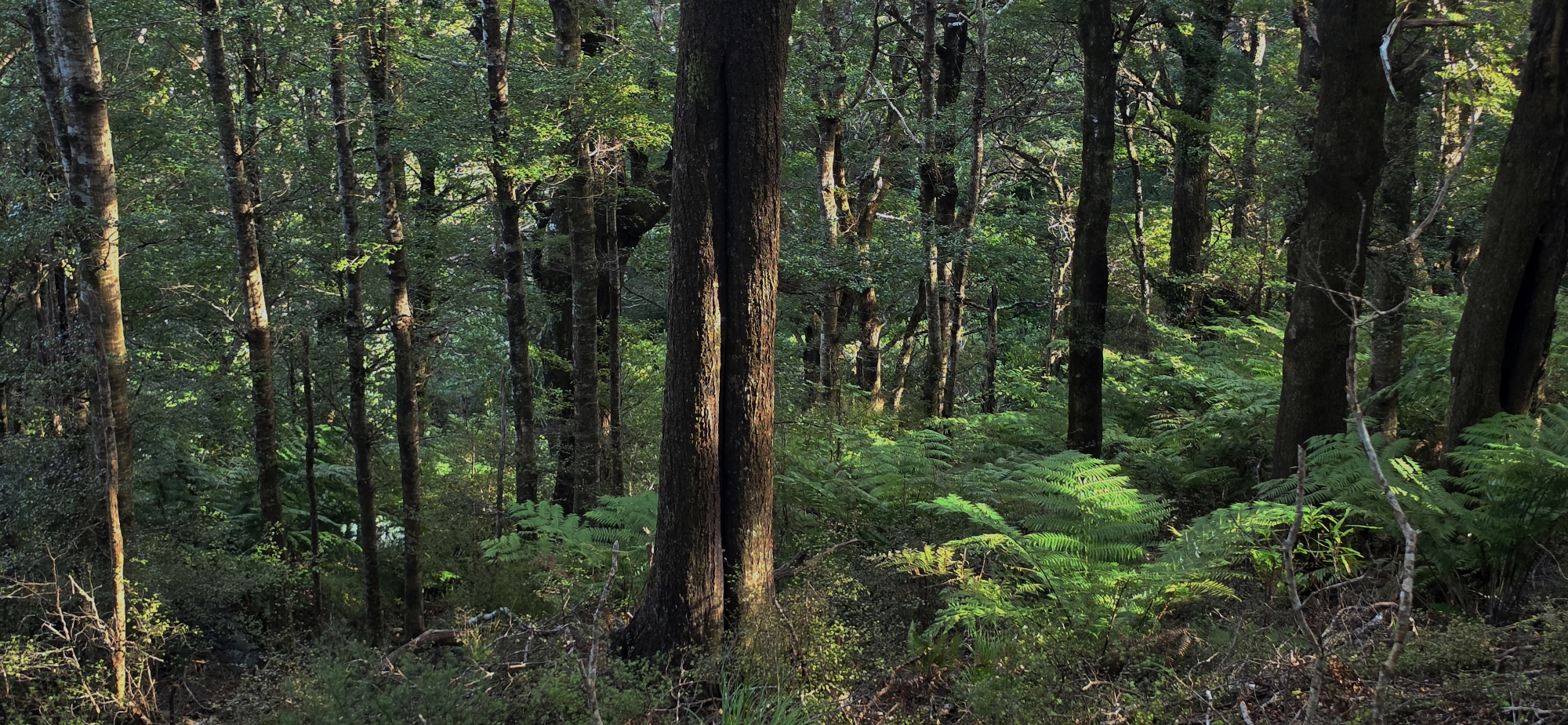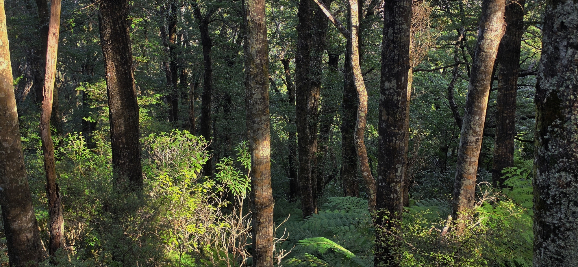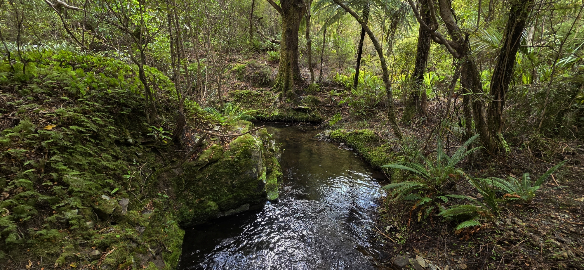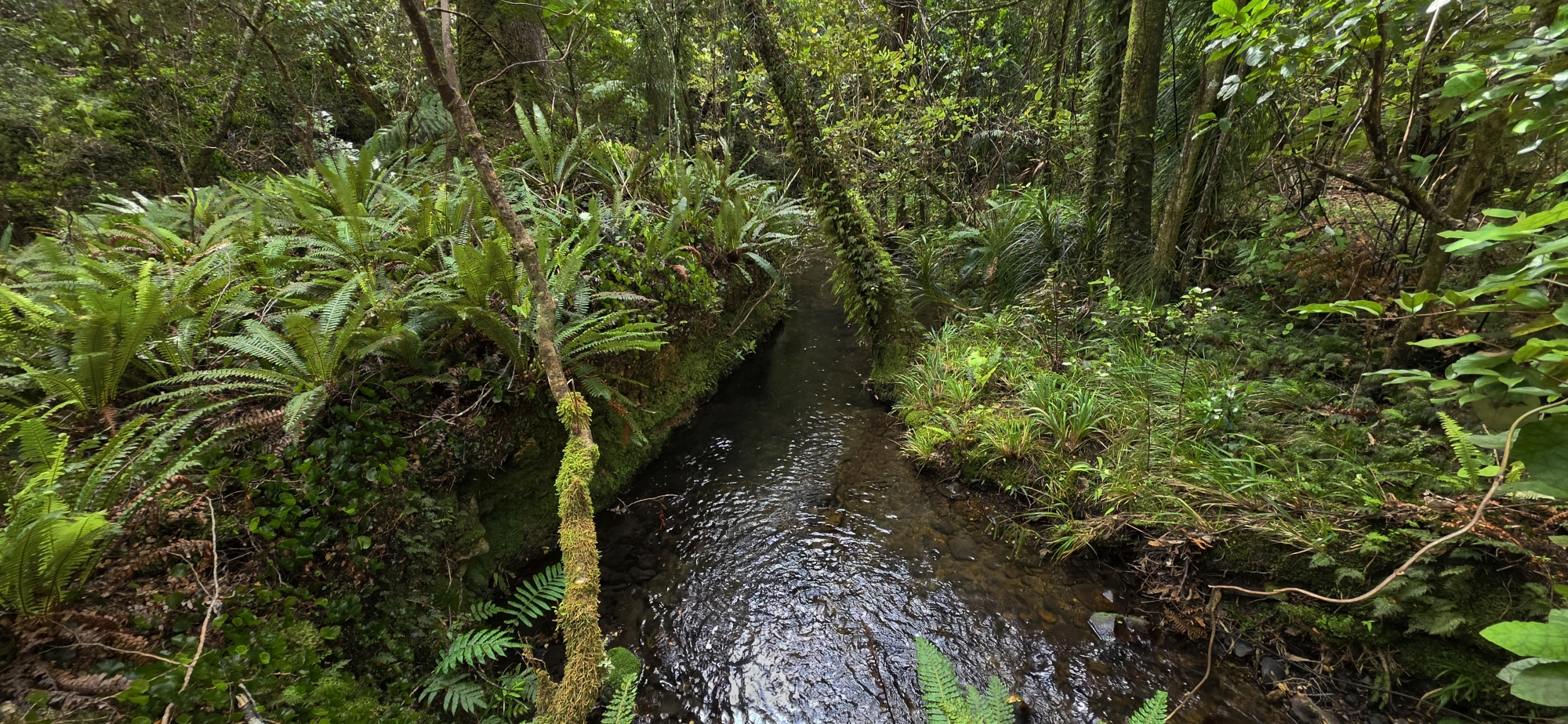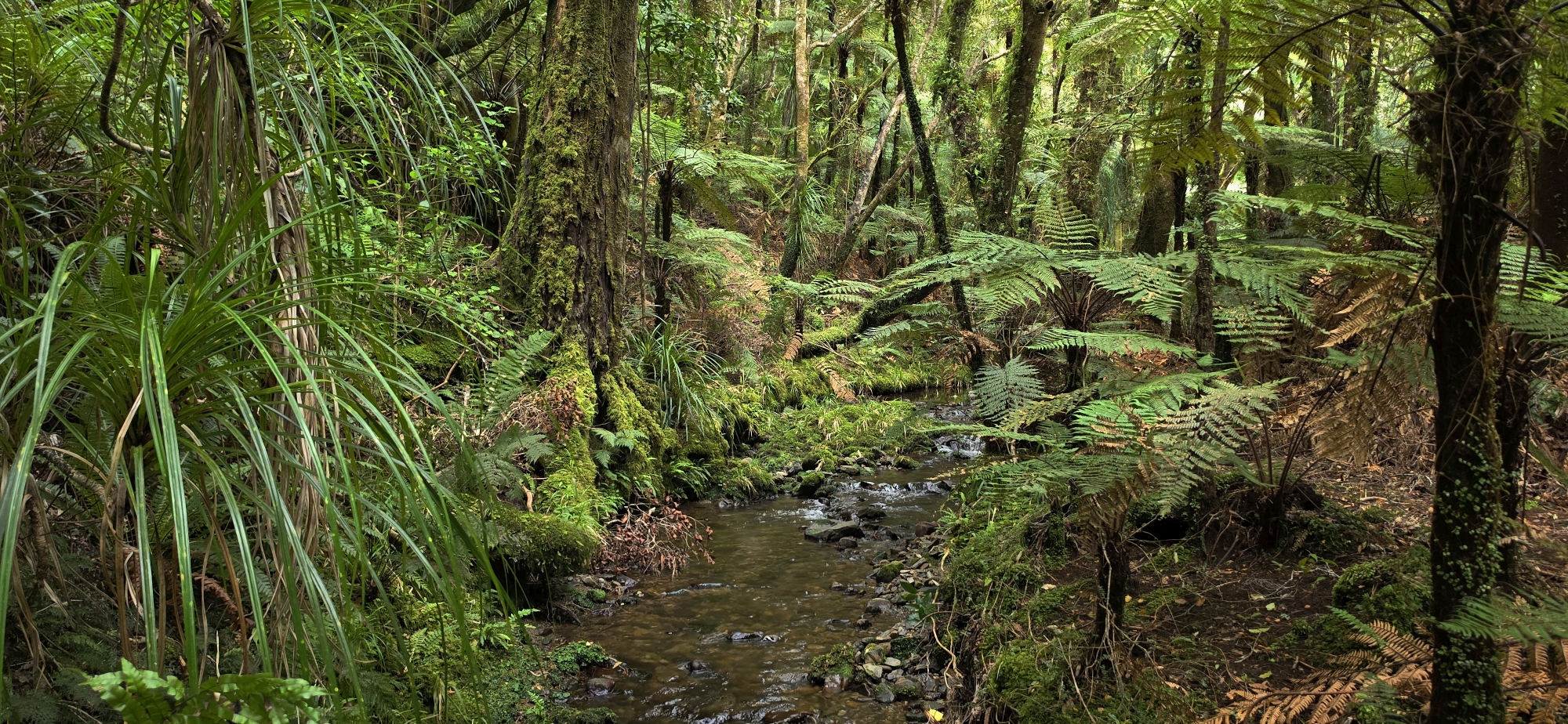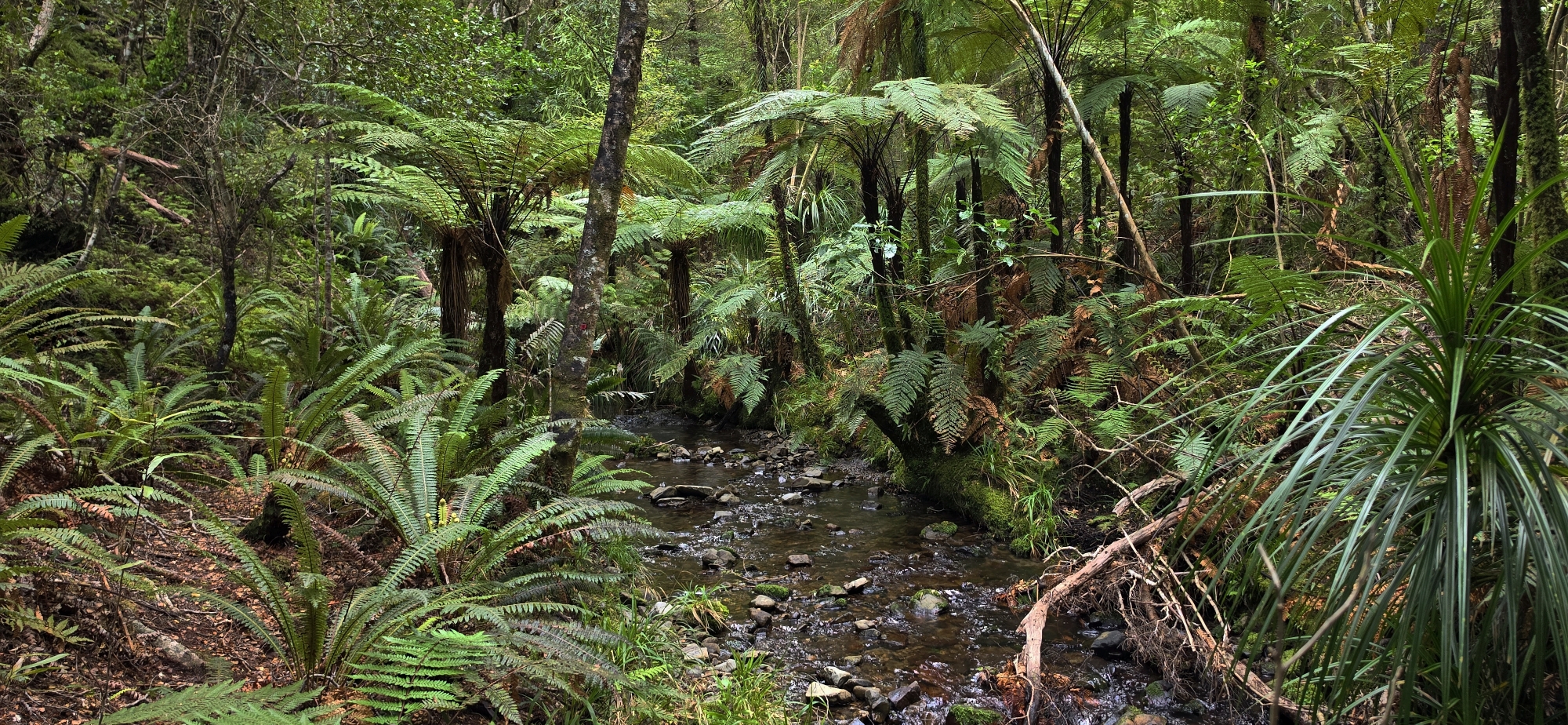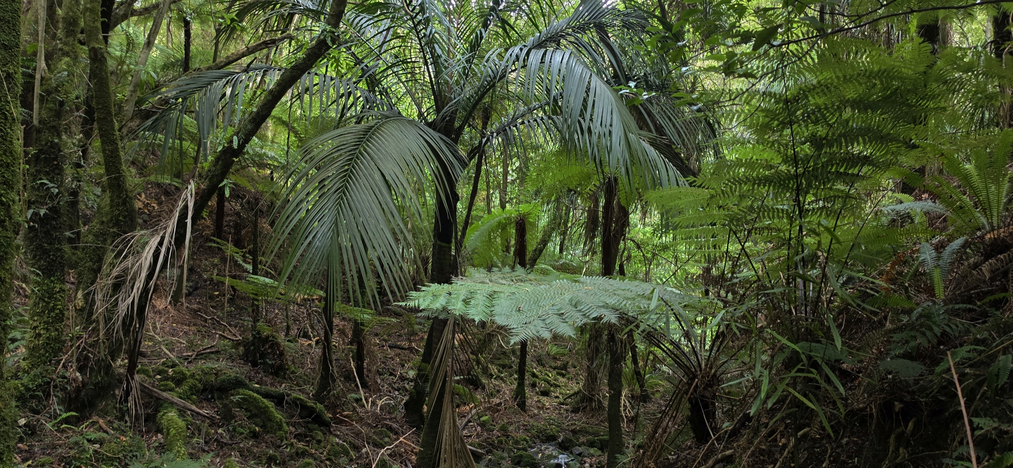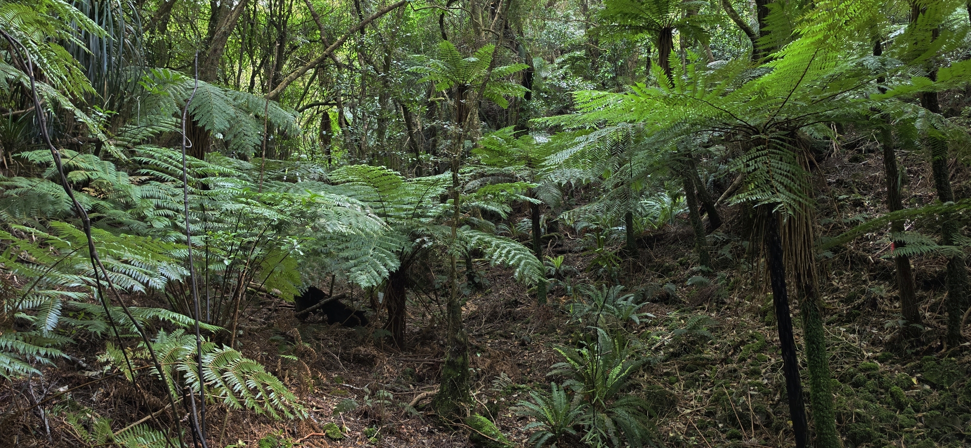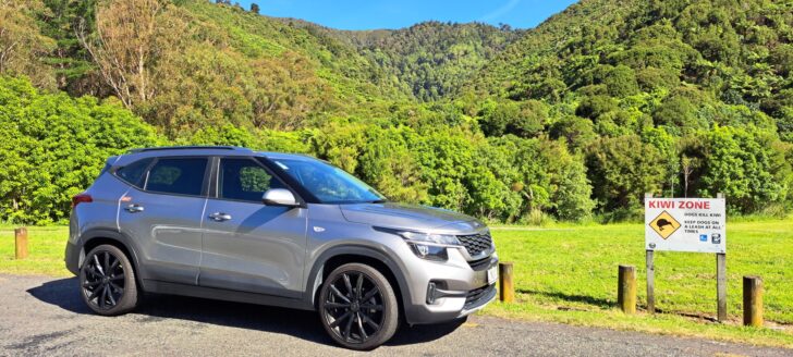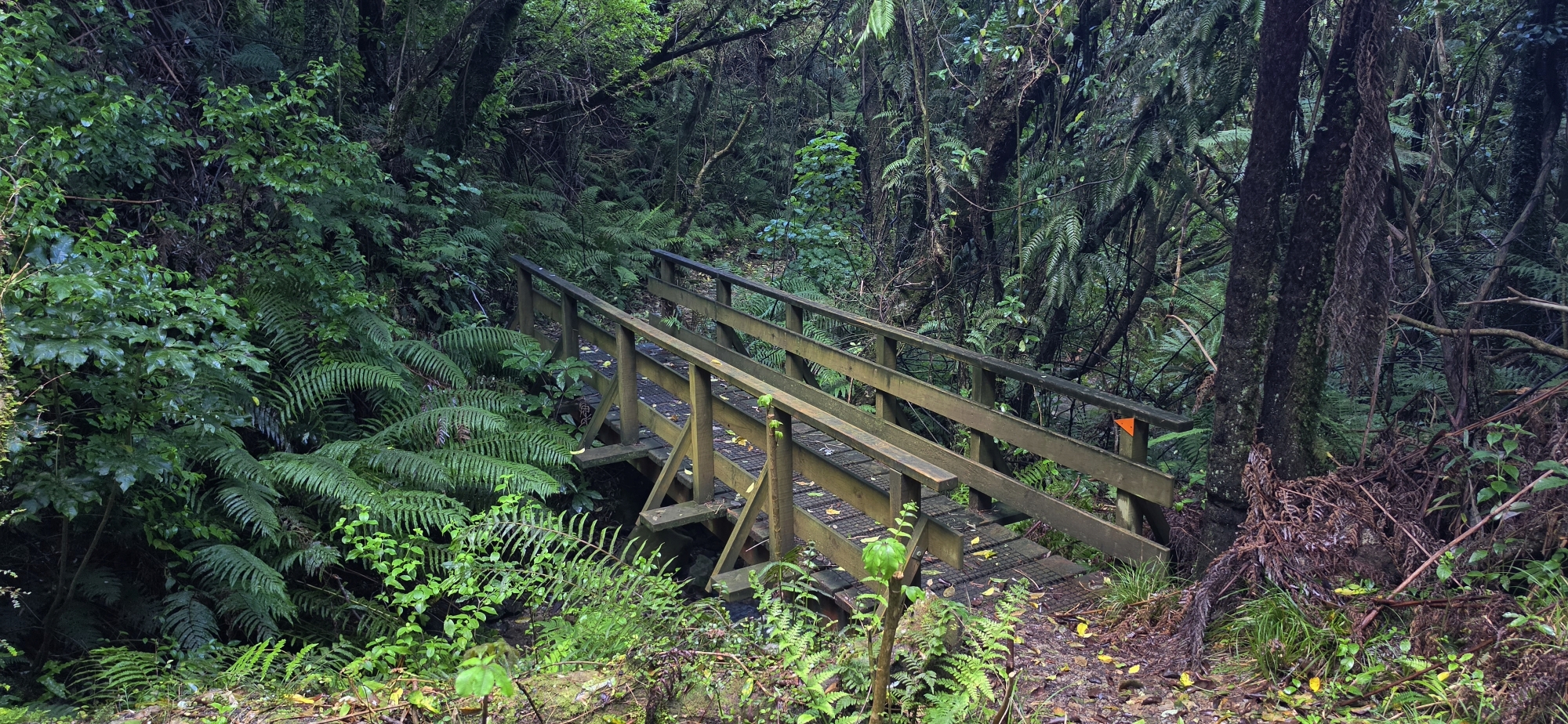
The Northern Forest is the large, bush-covered section of East Harbour Regional Park lying between Wainuiomata and Eastbourne. It stretches across the ridges above Lowry Bay, York Bay, Days Bay and Eastbourne, with access from both sides of the hills. It is one of East Harbour Regional Park’s four distinct areas, alongside Gollan’s Valley, Parangarahu Lakes and Baring Head/Ōrua-pouanui.
Landscape and forest
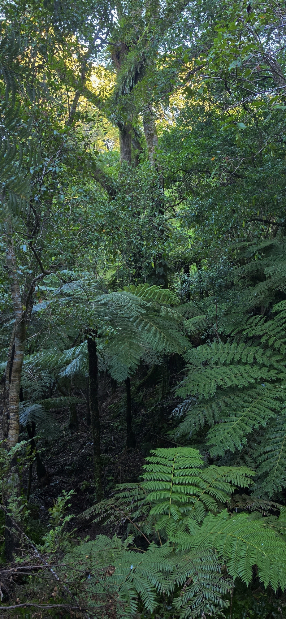
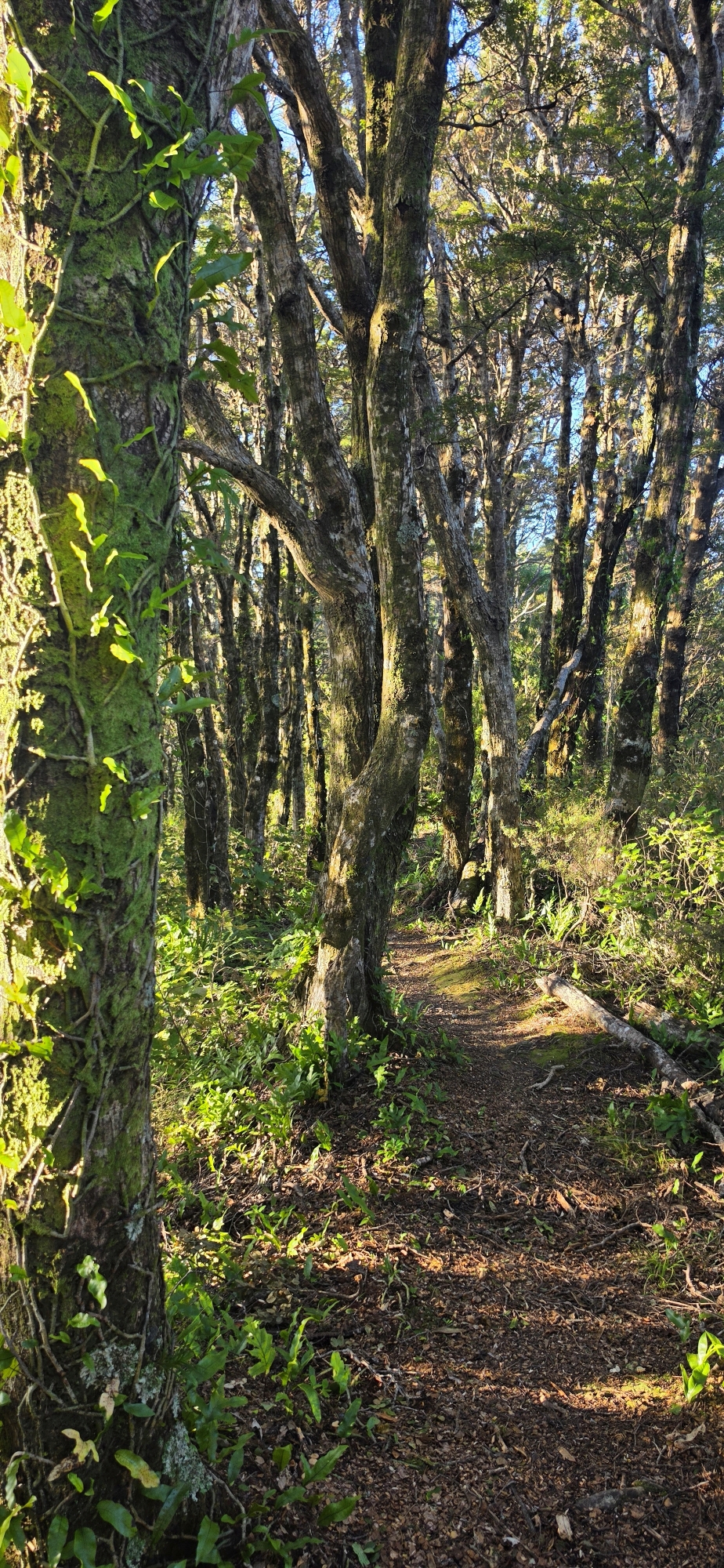
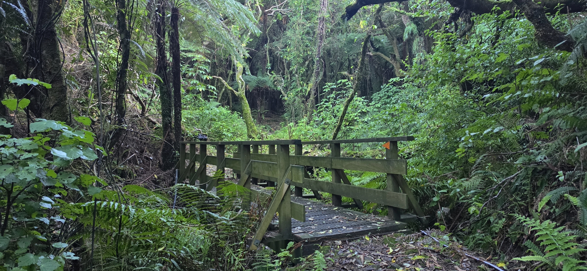
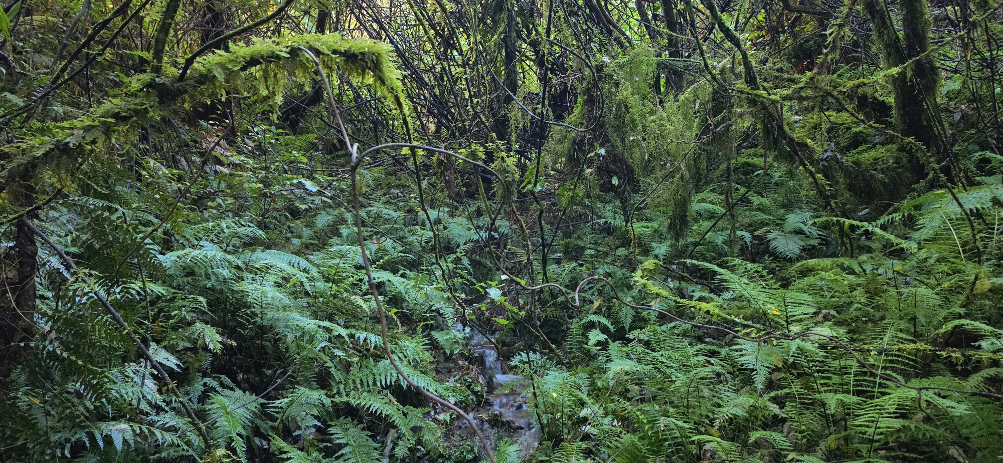
The forest covers a rugged landscape of steep ridges, narrow gullies and deeply incised stream valleys. Much of the higher country contains mature hard and black beech forest, mixed with northern rātā, kāmahi and regenerating broadleaf vegetation. Lower and wetter valleys contain areas of kahikatea, pukatea and nīkau, while a pocket of lowland rimu–tawa forest has been identified near Butterfly Creek.
Northern rātā is one of its most distinctive features. The area also has a particularly rich native orchid flora and is home to numerous native forest birds. Tūī, kererū, pīwakawaka, korimako, riroriro, miromiro, ruru and kārearea have all been recorded, while North Island robins have previously been returned to the forest through restoration work.
Tracks from Wainuiomata
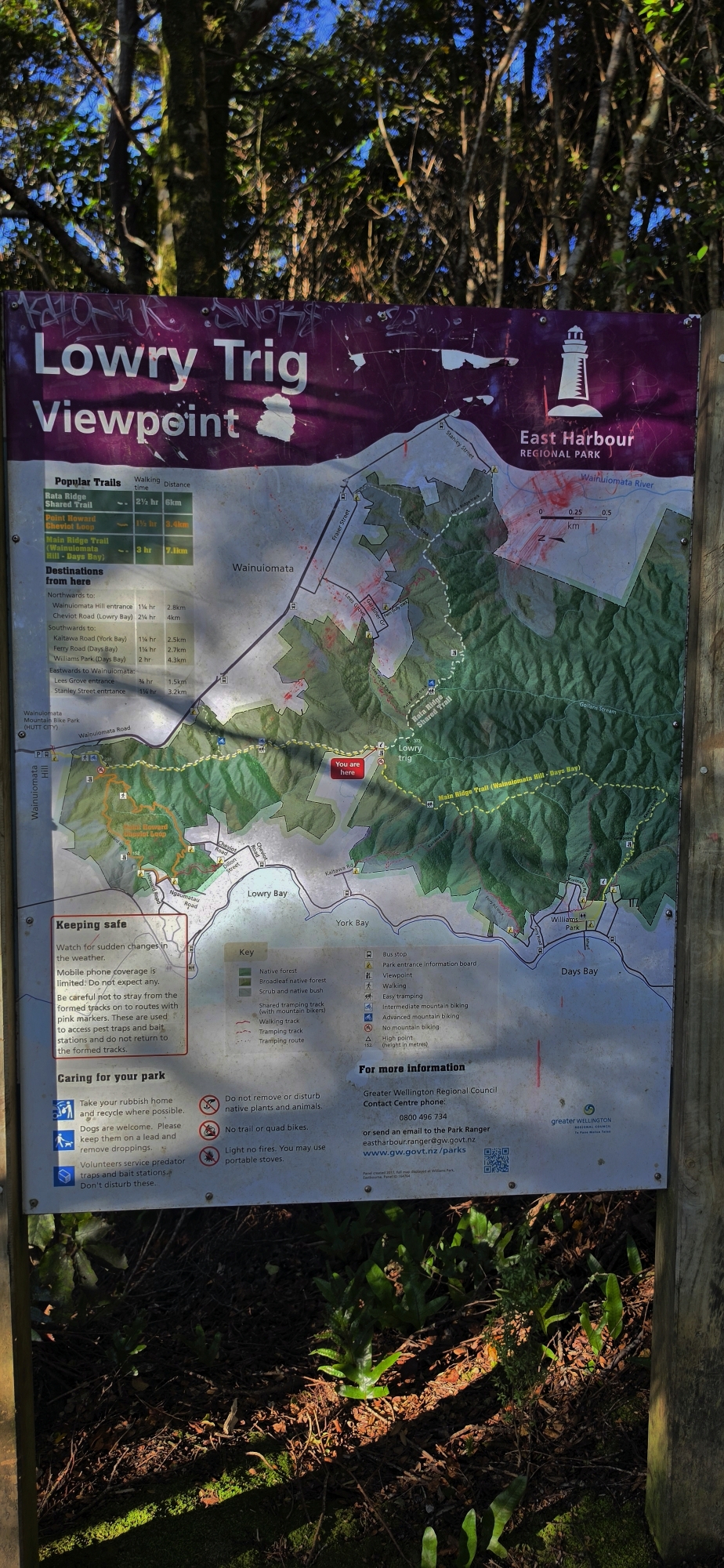
Several walking tracks provide access to the Northern Forest from Wainuiomata, climbing through sheltered gullies and mature native bush towards Lowry Trig and the Main Ridge Track.
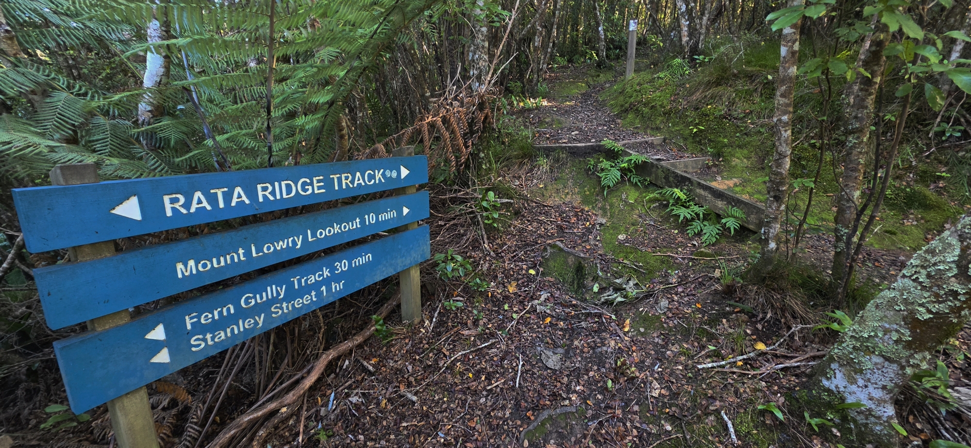
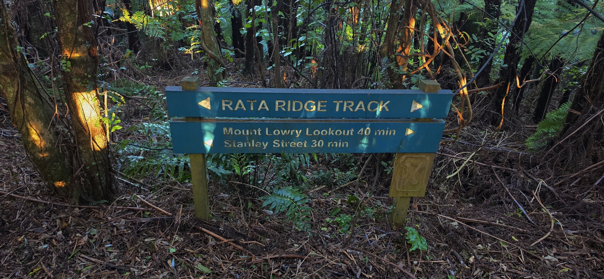
Rātā Ridge Track, starts at Stanley Street at what some people call the Stanley Street Track, which climbs up to the ridge through mature beech forest towards Lowry Trig, where it connects with the wider ridge network. The longer 6-kilometre route to the Wainuiomata Hill Road summit takes approximately two hours and offers an opportunity to explore more of the Northern Forest. The Zigzag Track provides another access point from Wainuiomata, connecting with Rātā Ridge via a series of steep bends. Both routes have challenging sections that can become slippery after rain, making them more demanding than the Lees Grove circuit.
The Wainuiomata Hill Road entrance, provides access to the northern end of the Main Ridge Track. From here, walkers can reach Lowry Trig or continue southwards into the forest. For more experienced trampers, the 13-kilometre Traverse follows the ridgeline towards Hawtrey Trig and Eastbourne, taking approximately five hours.
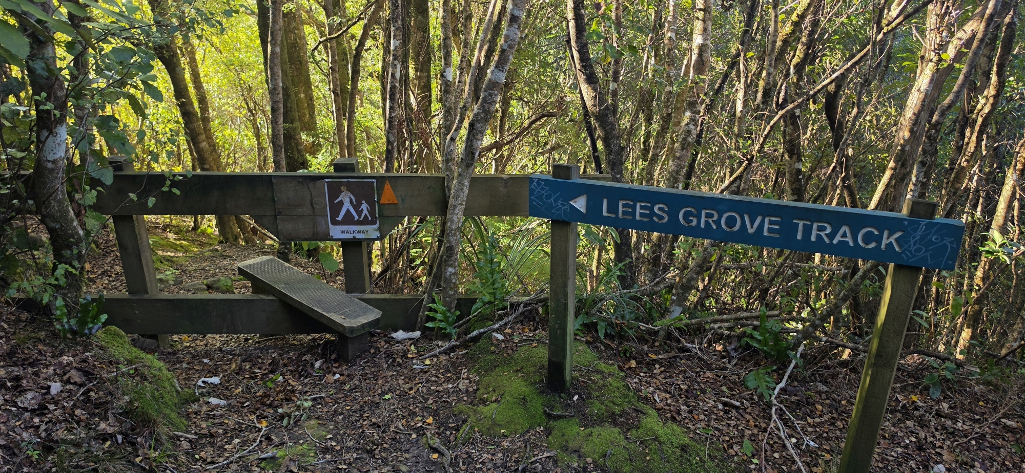
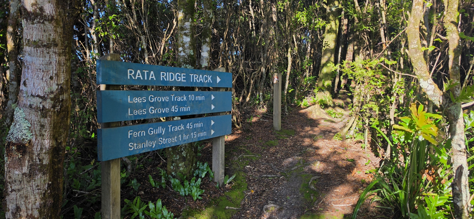
Lees Grove Track is one of the most popular entrances, climbing through native forest to Rātā Ridge. It can be combined with Fern Gully Track and a short detour to Lowry Trig, the highest point in the Northern Forest at 373 metres, to form the 4.8-kilometre Trig Loop. The circuit takes approximately 1 hour 30 minutes, with Fern Gully providing a gentler descent.
Tracks from Eastbourne
The Northern Forest can be accessed from Eastbourne via several walking tracks. Bus Barn Track climbs approximately 2 kilometres through native bush to the Main Ridge Track, providing connections to Butterfly Creek and surrounding ridges.
Kōwhai Street Track offers another entrance, climbing approximately 1 kilometre through native forest. From here, walkers can descend towards Butterfly Creek or continue towards the main ridge. The 7.4-kilometre Butterfly Creek Loop takes approximately 2 hours 30 minutes.
Gollans Valley
Gollans Valley extends southwards from the forested hills bordering Wainuiomata and eastwards from the ridge behind Eastbourne. Its principal waterway, Gollans Stream, winds through rugged terrain, fed by numerous smaller tributaries descending from the surrounding hills. The upper valley is dominated by dense native broadleaf forest, interspersed with podocarps, tree ferns and a rich variety of native vegetation. Steep ridges, deeply incised gullies and numerous bends in the stream make this a particularly rugged and sometimes difficult landscape to navigate.