
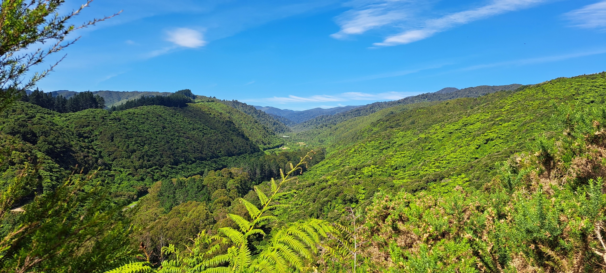
Wainuiomata Regional Park borders extensive lowland native forests in the lower North Island.
History
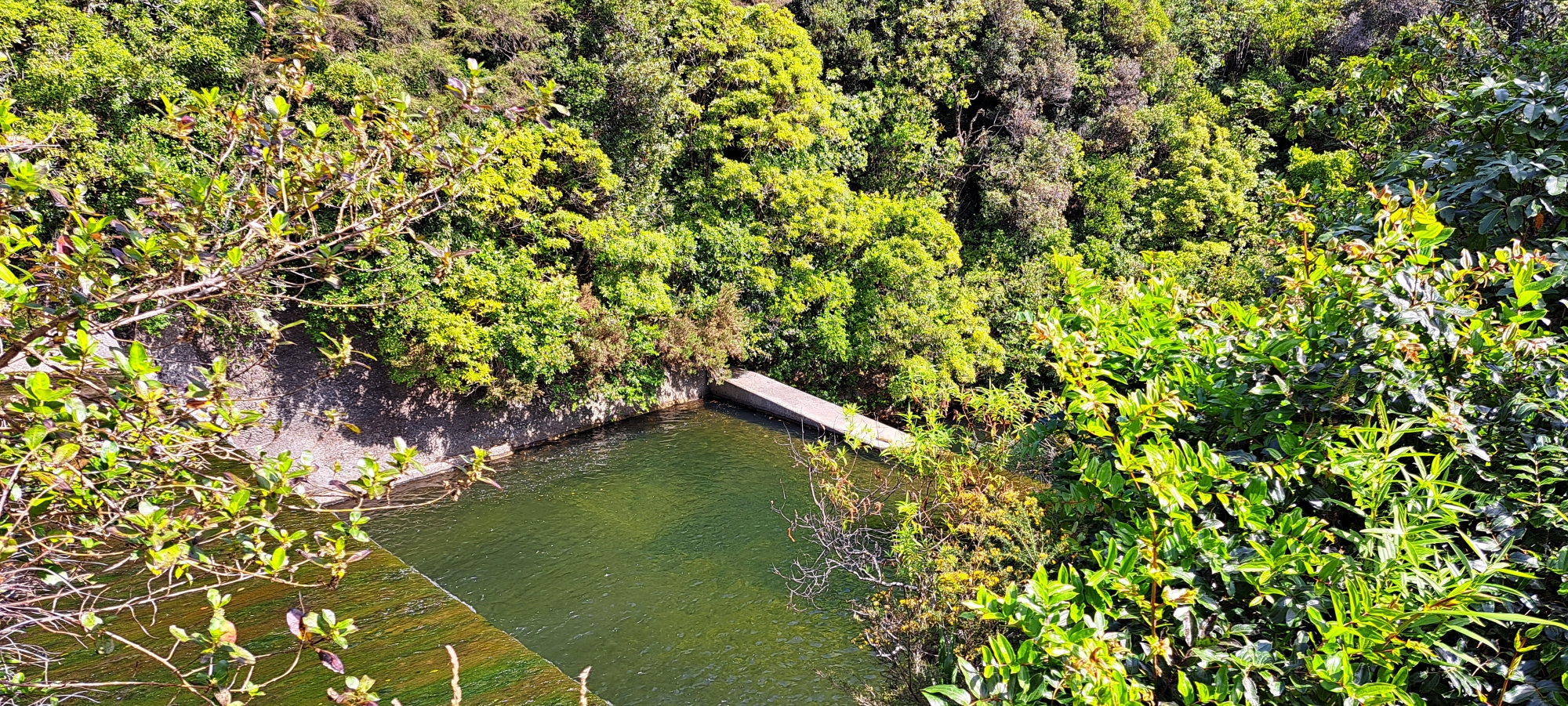
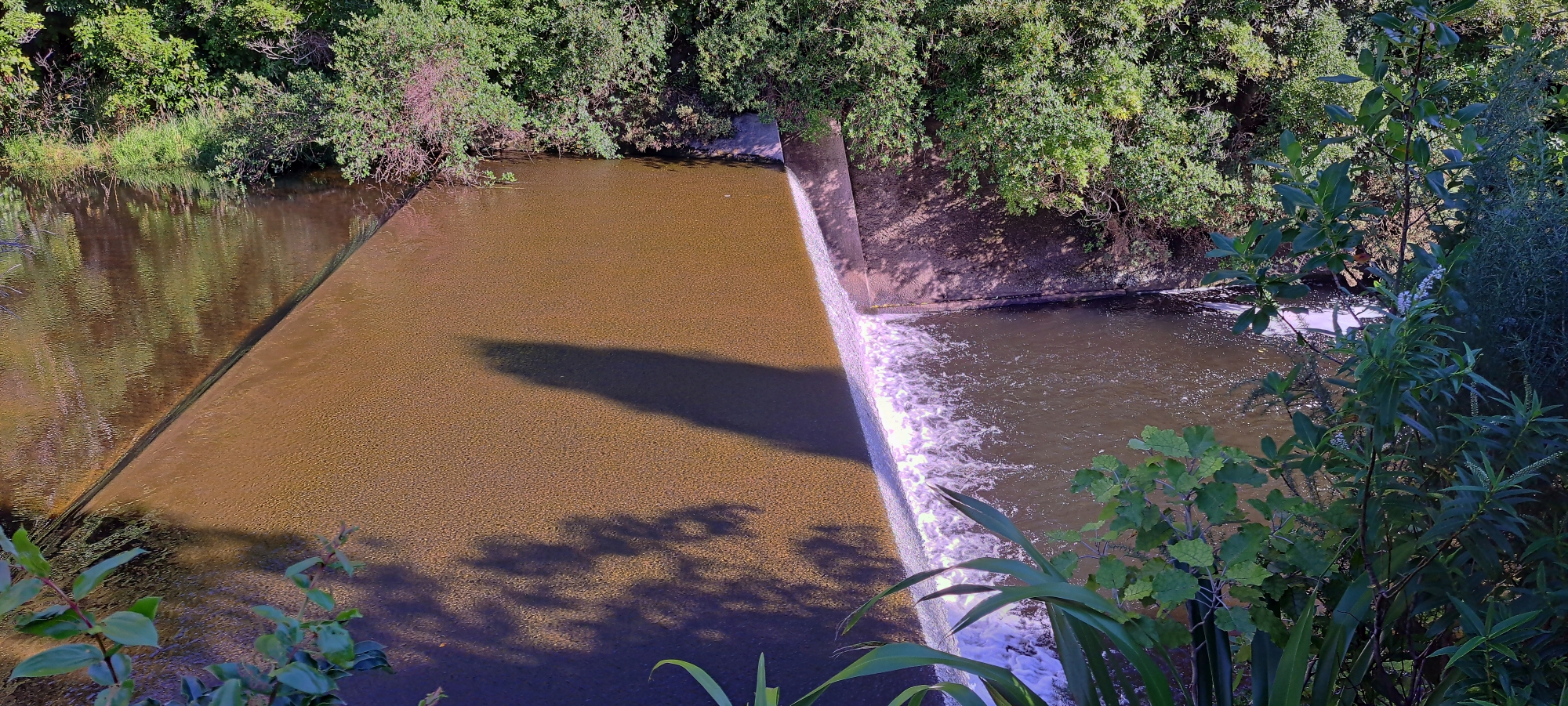
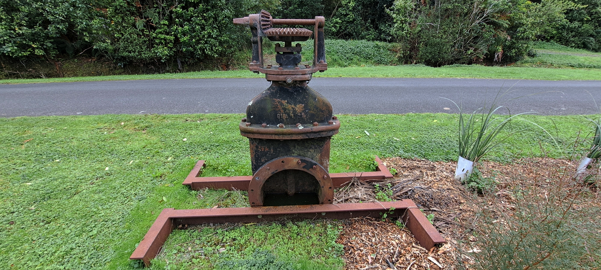
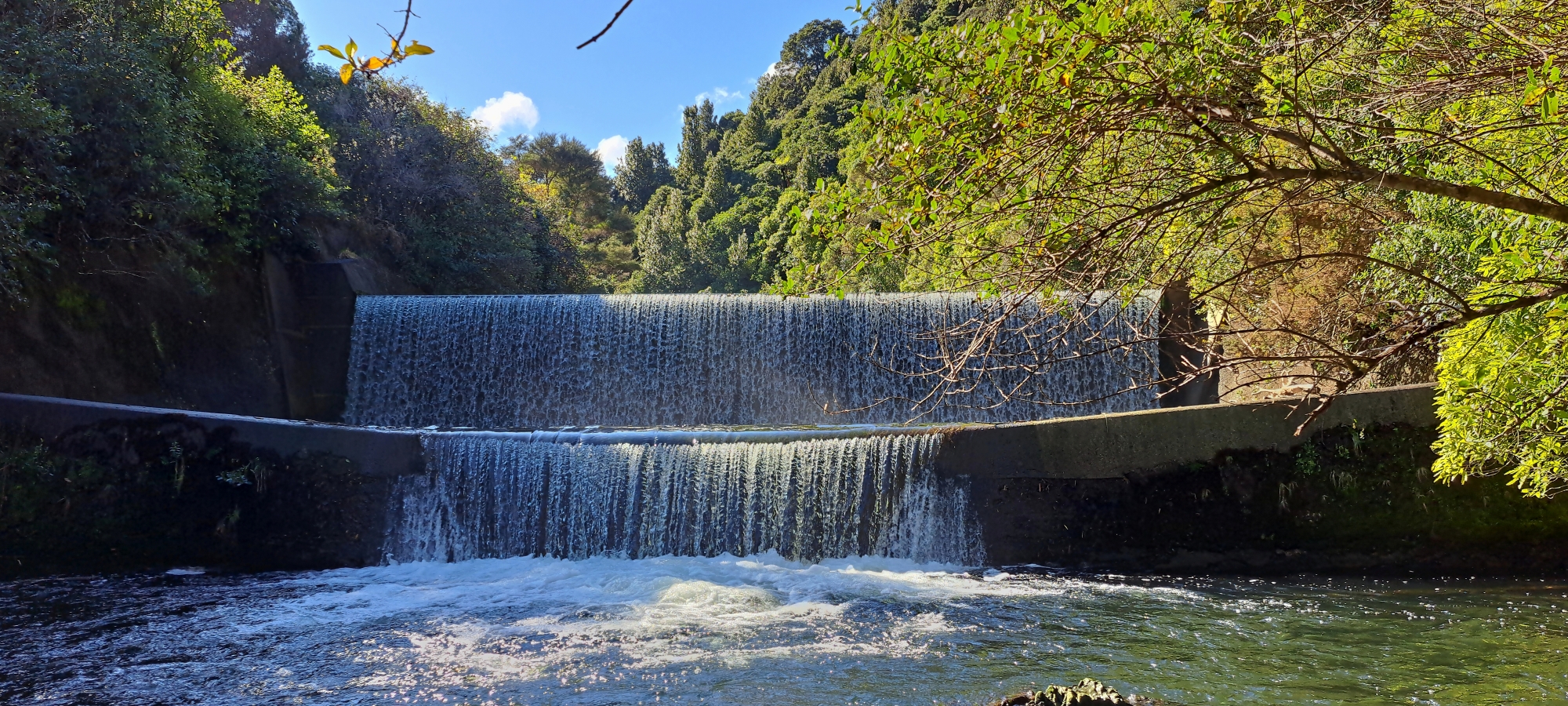
The area now within the regional park was originally logged by the Sinclair family in the 1860s. In the 1880s, a dam was built, and the area became part of the water catchment that supplied the Wellington region with most of its water. In 1911, a larger dam called Morton Dam was constructed further upstream, outside the park’s boundaries.
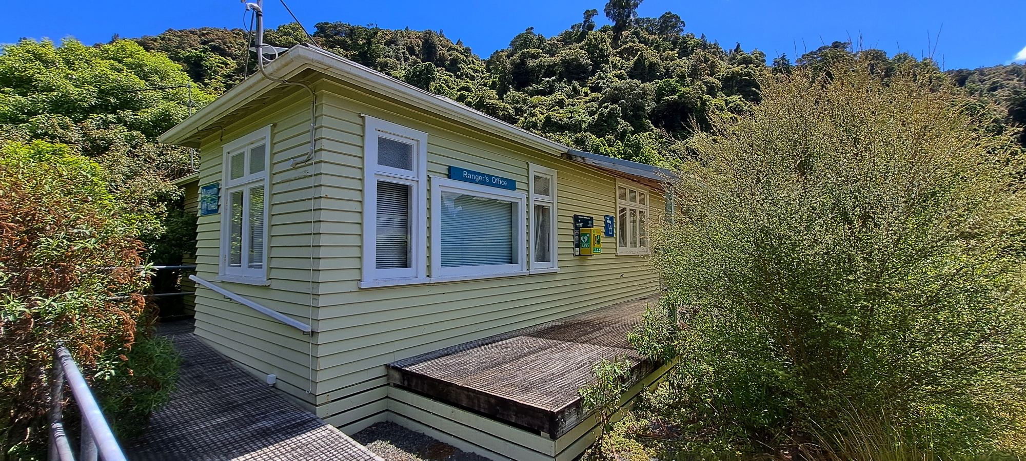
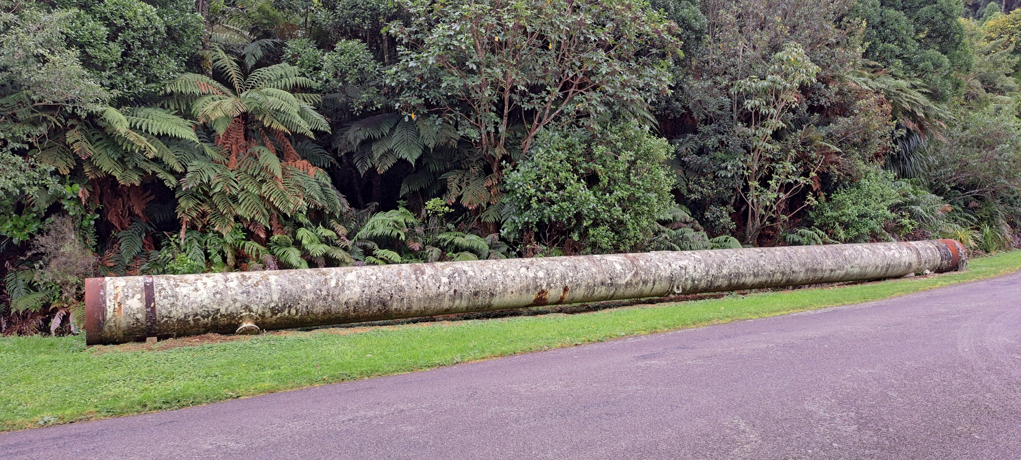
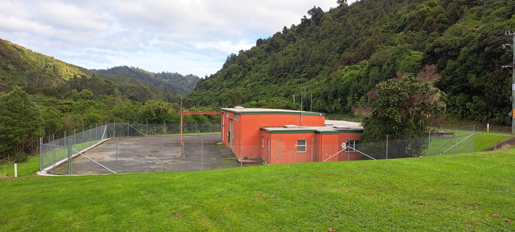
 With the construction of the dams, various houses, cottages, and huts were built to accommodate staff and serve other purposes. Over time, the cottages and huts were removed, but a few houses remain at the Lower Dam site. Today, one of these houses is occupied by the park ranger, and another serves as the ranger’s office and houses the Wainuiomata Water Museum.
Public access to the area up to the Lower Dam began when the site was incorporated into Wainuiomata Regional Park. This transition happened after the dams were decommissioned and the area was officially designated as a regional park in the early 2000s. Morton Dam now lies within the new water catchment boundary.
Today
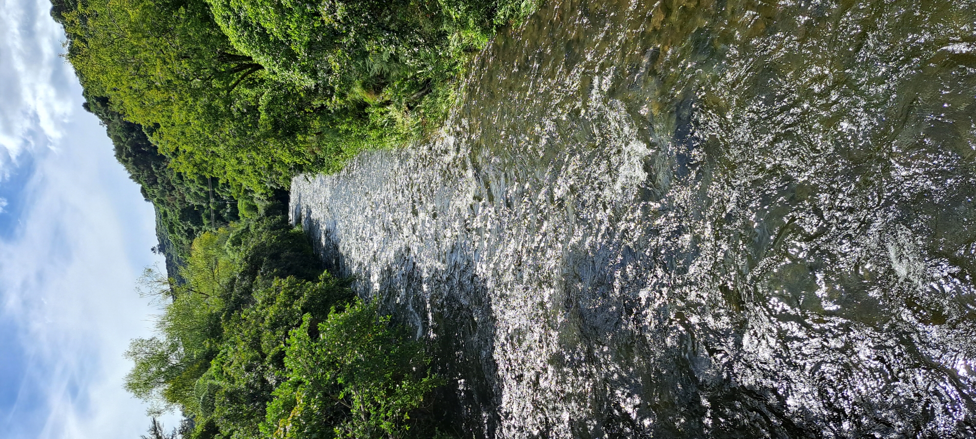
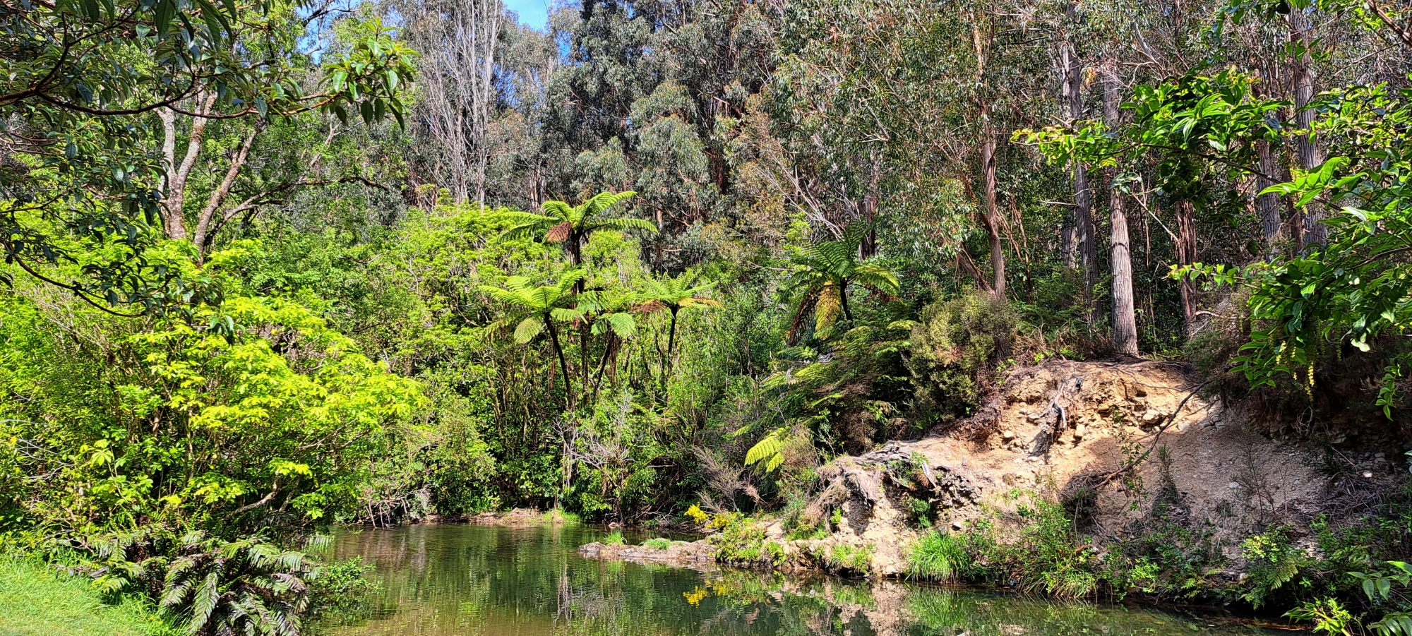
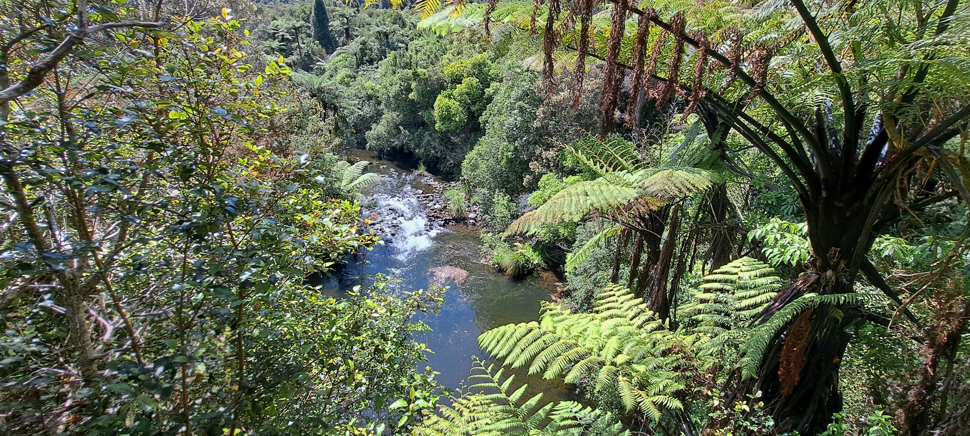
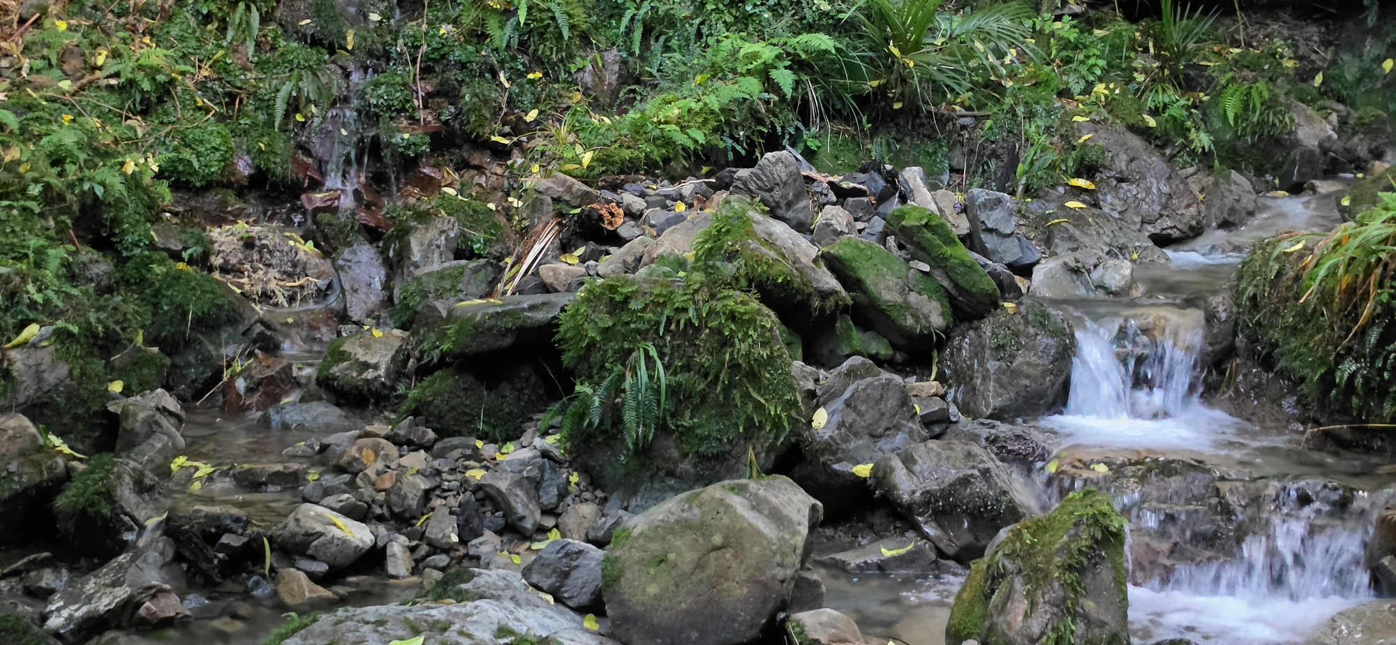
Wainuiomata Regional Park boasts a variety of walking tracks, from easy strolls to more challenging routes. The area’s rich history, dotted with artefacts, and the Wainuiomata River, which offers natural swimming spots, make it a park that visitors are drawn to repeatedly. Though not vast, fully exploring the park can take quite some time. With its connection to Remutaka Forest Park, the possibilities for exploration are nearly endless.
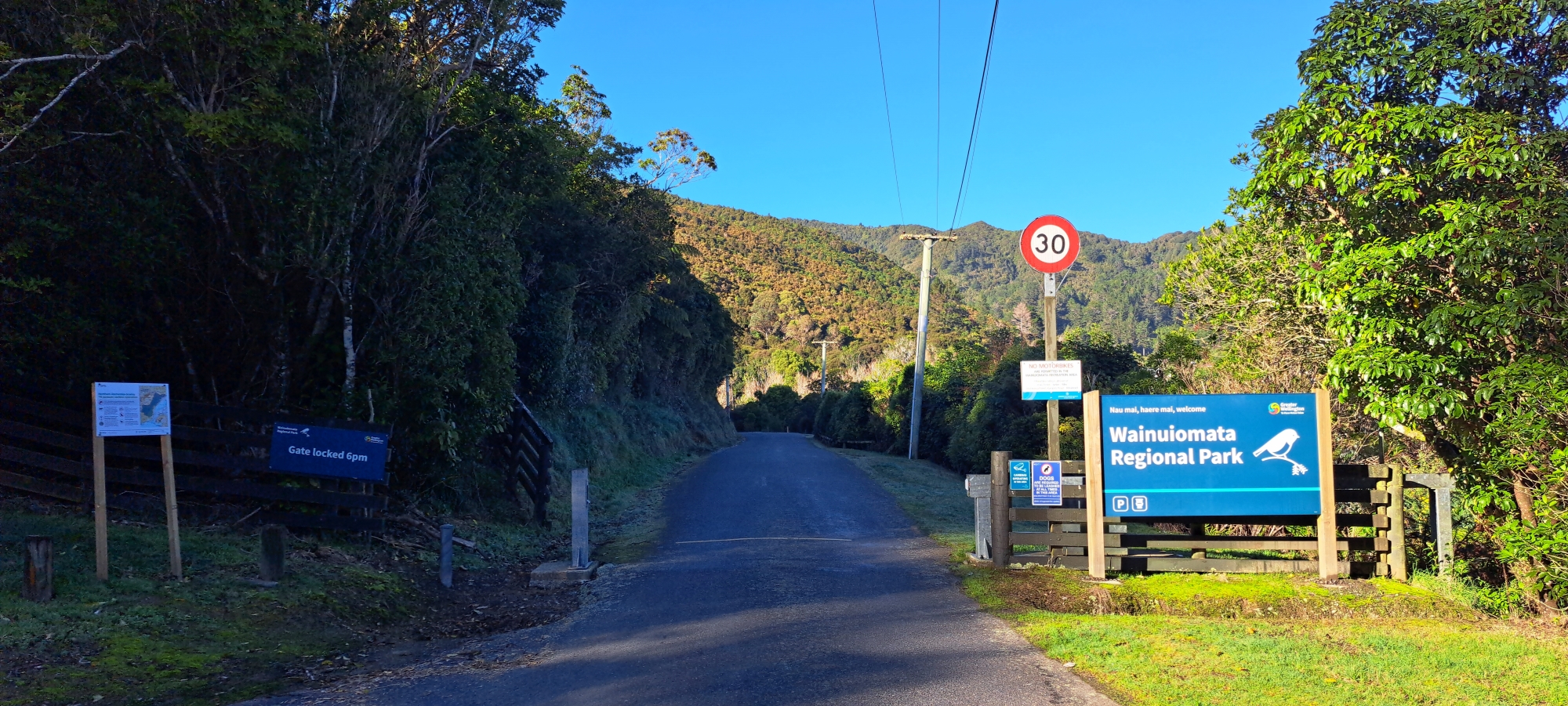
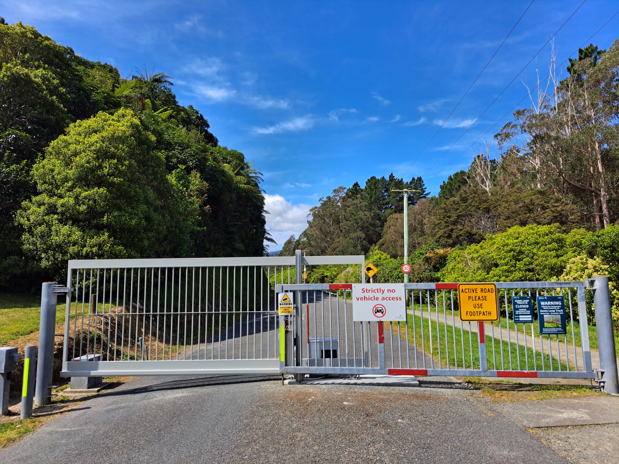
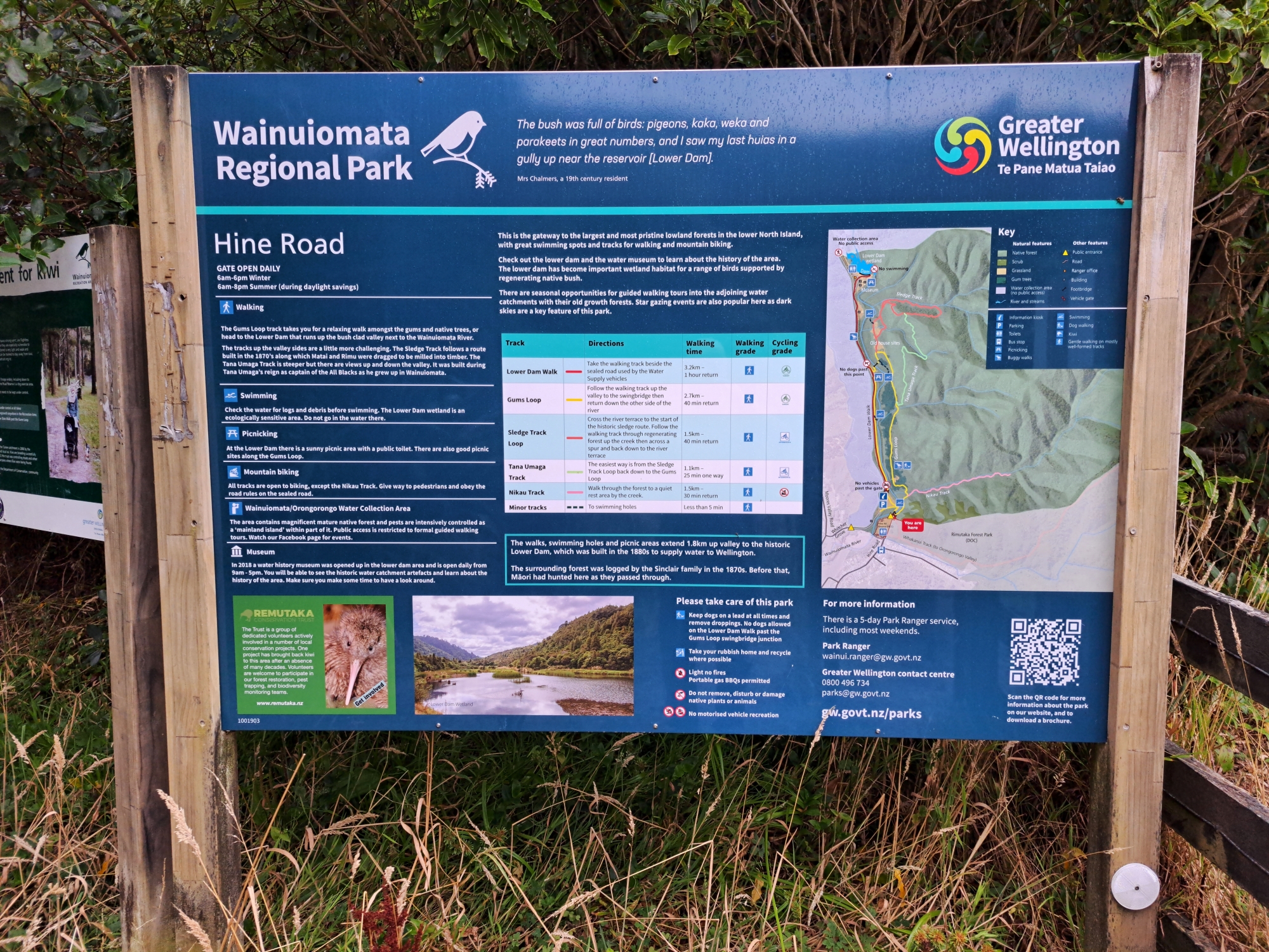
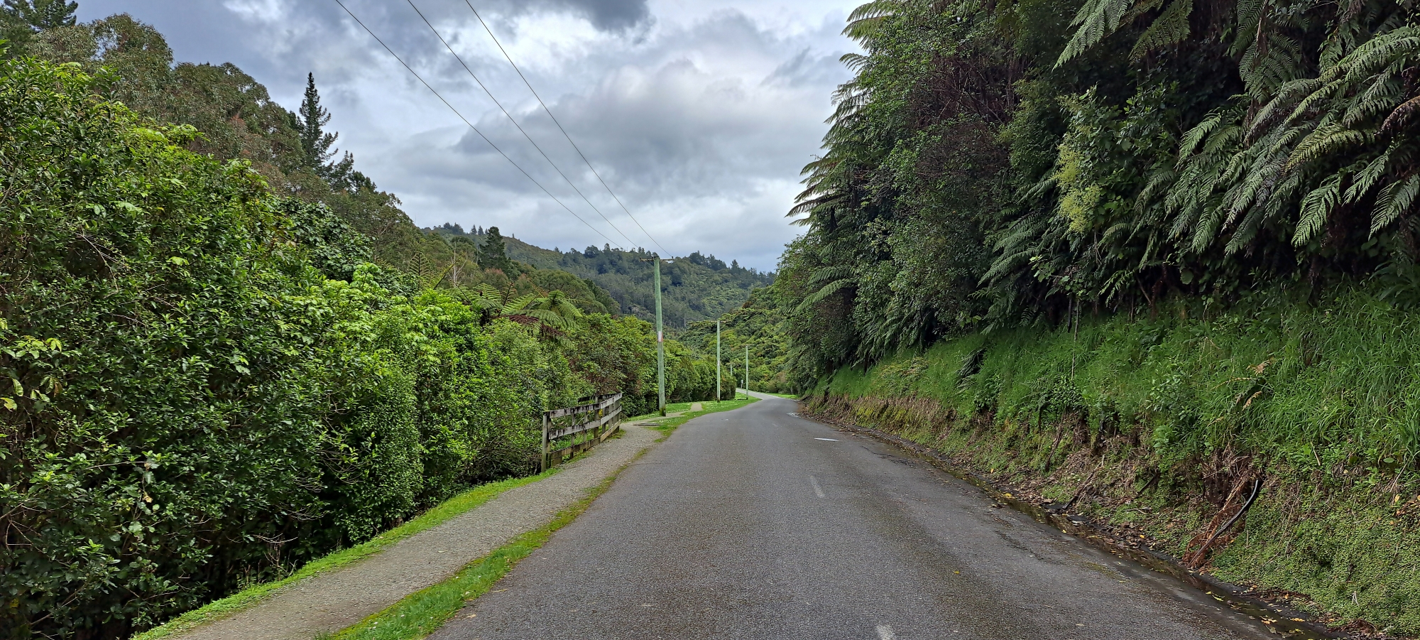
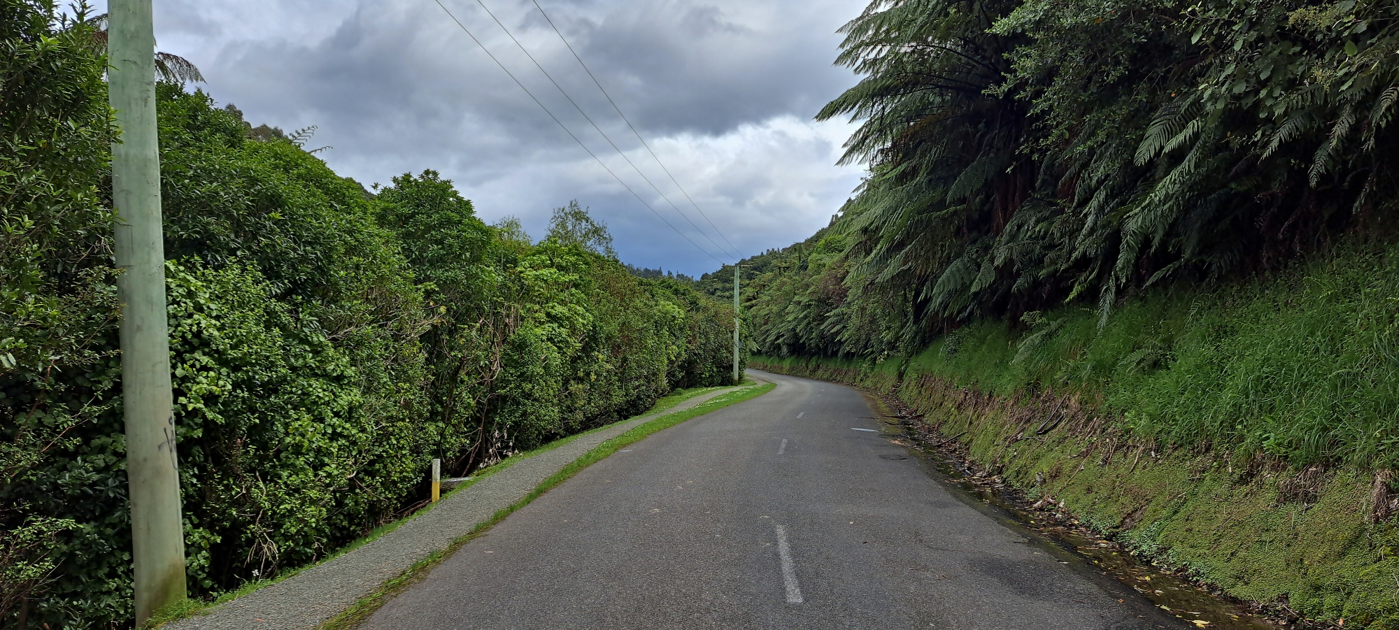
The park has two main entrances. One is at the end of Hine Road, within the Hine Road Recreational Reserve, where there is parking and toilet facilities. This entrance provides easy access to the Whakanui Track and the Gums Loop Walk. The other entrance is on Reservoir Road, continuing from Whitcher Grove, where the Lower Dam Walk begins, which also serves as the starting or ending point for the Gums Loop Walk. This entrance has parking but no toilet facilities, and the gate closes at 8 pm from October to April (summer) and at 6 pm from May to September (winter). Both entrances lead you close to the Wainuiomata River, with access to some excellent swimming spots.
Dark Sky Reserve
Wainuiomata Regional Park is pursuing accreditation to become a dark sky reserve, making it one of three in the Southern Hemisphere. Despite Wellington city’s light pollution dimming most stars, the park remains one of the top spots for stargazing in the area.
Walks
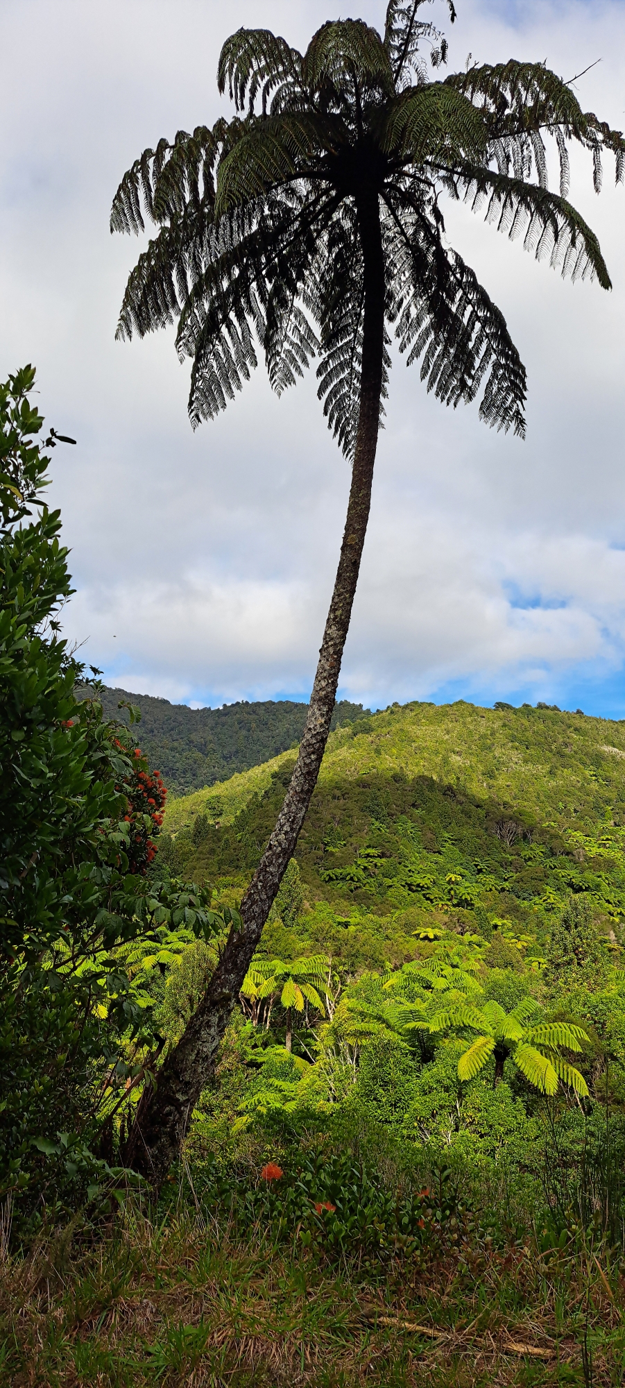
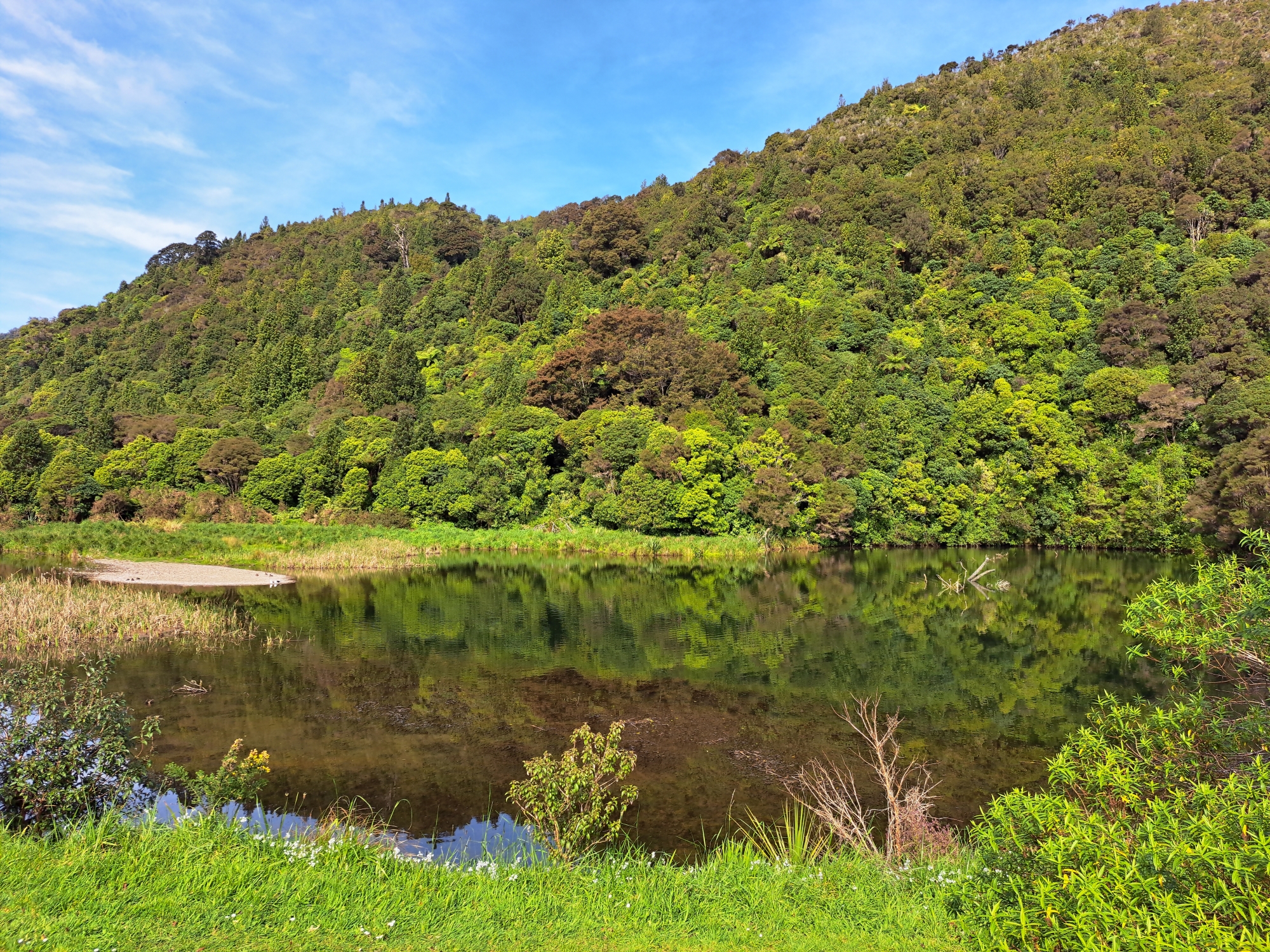
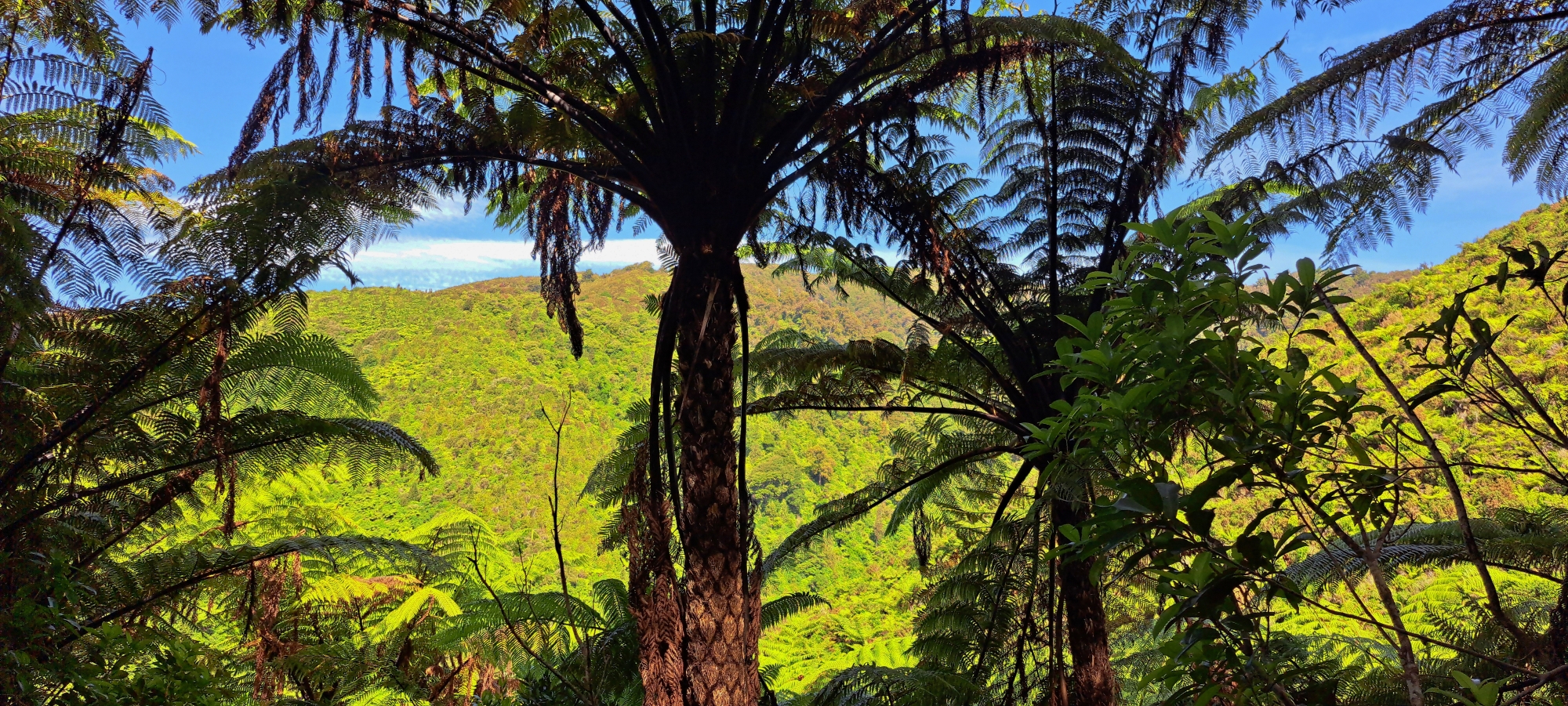
Wainuiomata Regional Park offers a compact but varied group of walks at the northern edge of the Wainuiomata waterworks landscape. The park combines river scenery, swimming holes, regenerating bush, gum trees, old house sites, historic water-supply features, and access towards the larger forested hills beyond. Most walks are short enough for casual visitors, but they still give a strong sense of the valley’s natural and historic character.
Lower Dam Walk
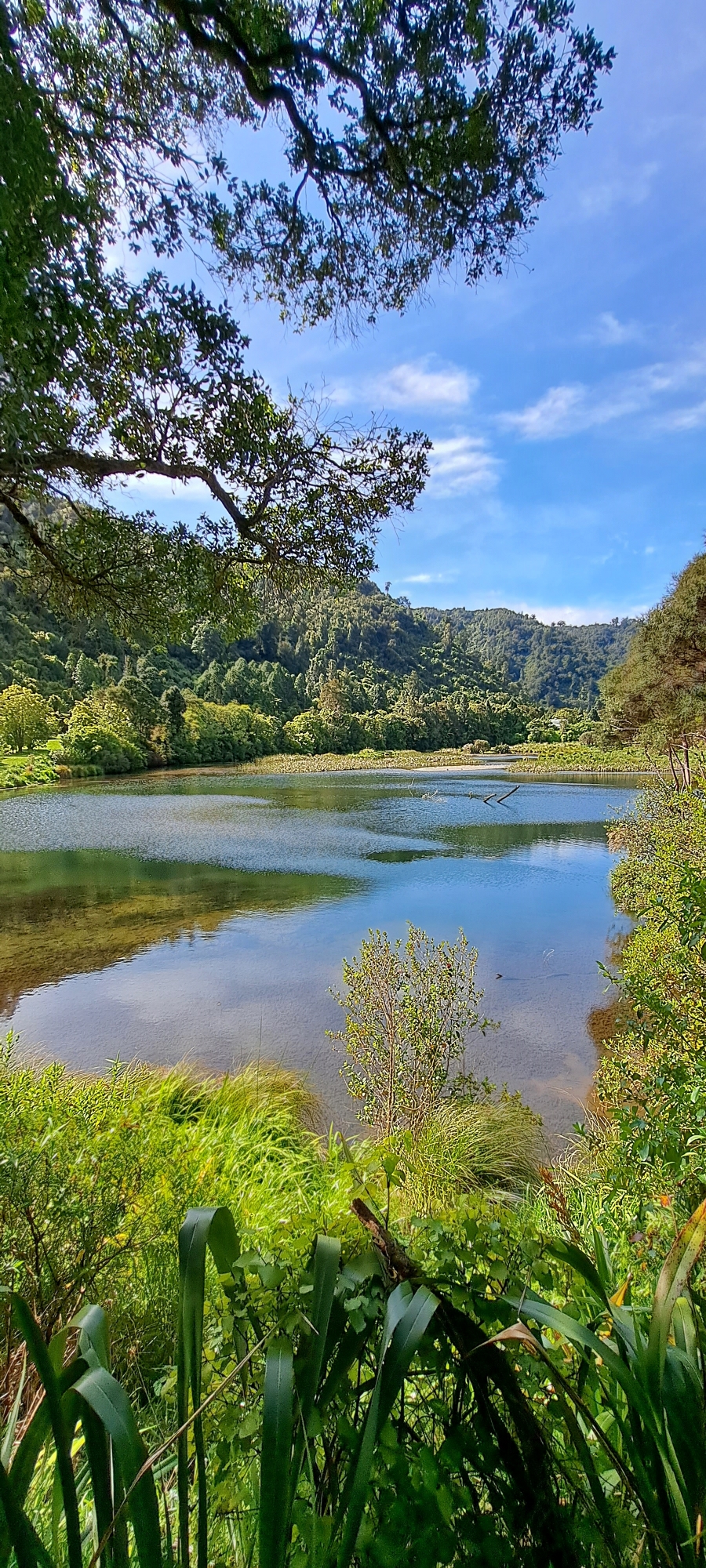
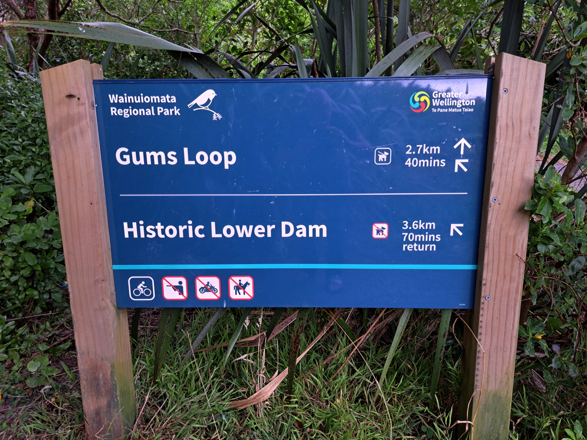
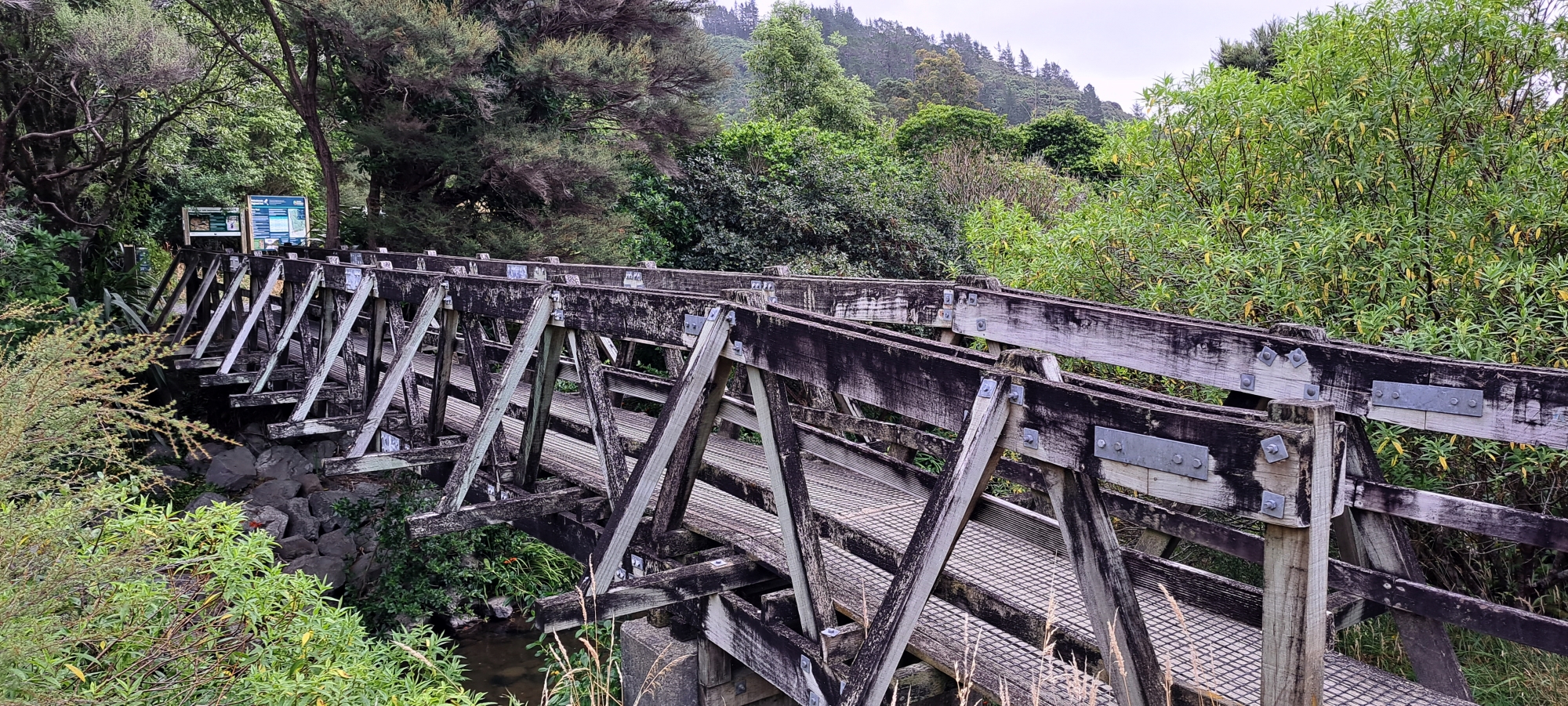
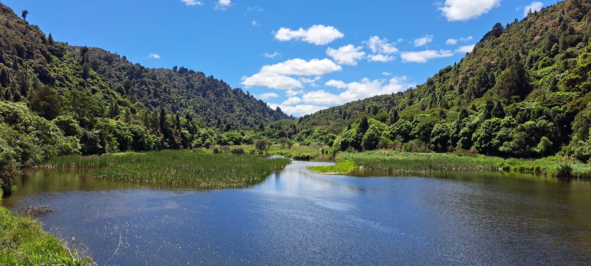
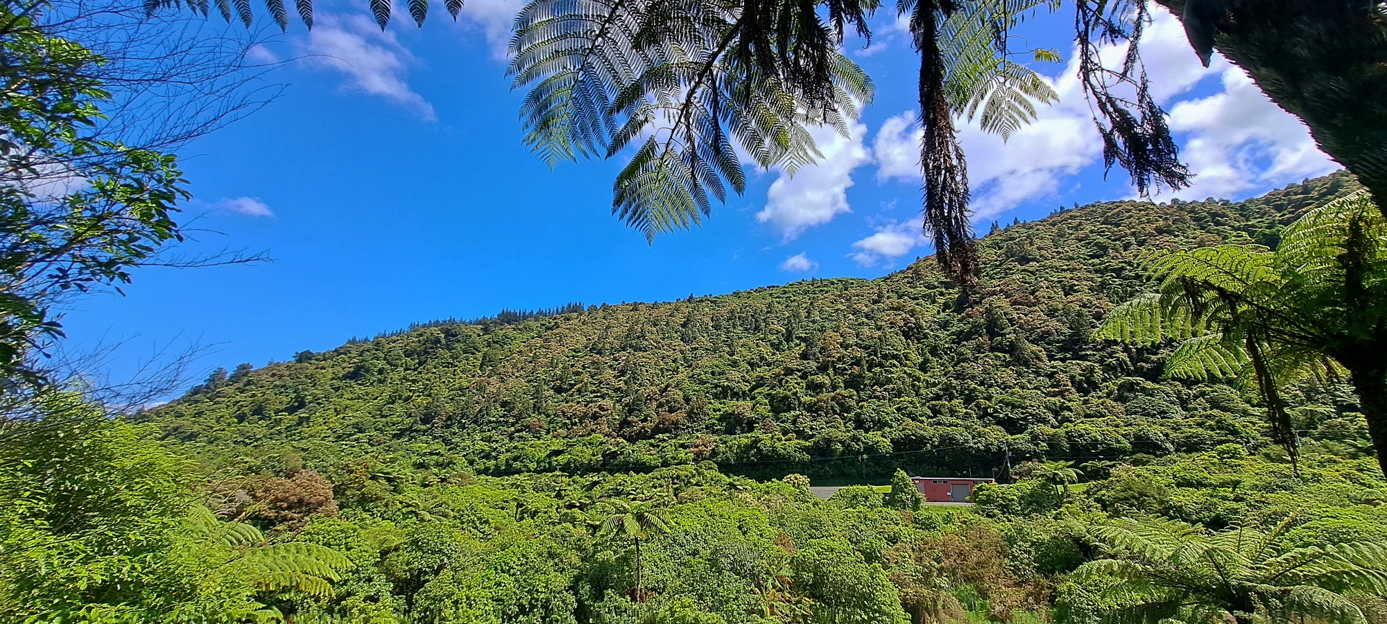
Lower Dam Walk follows the easy route from the Reservoir Road entrance towards the historic Lower Dam. It is one of the best walks for exploring Wainuiomata’s water-supply history, with access to the water museum, wetland area, birdlife, and views of one of New Zealand’s oldest dam sites.
Gums Loop
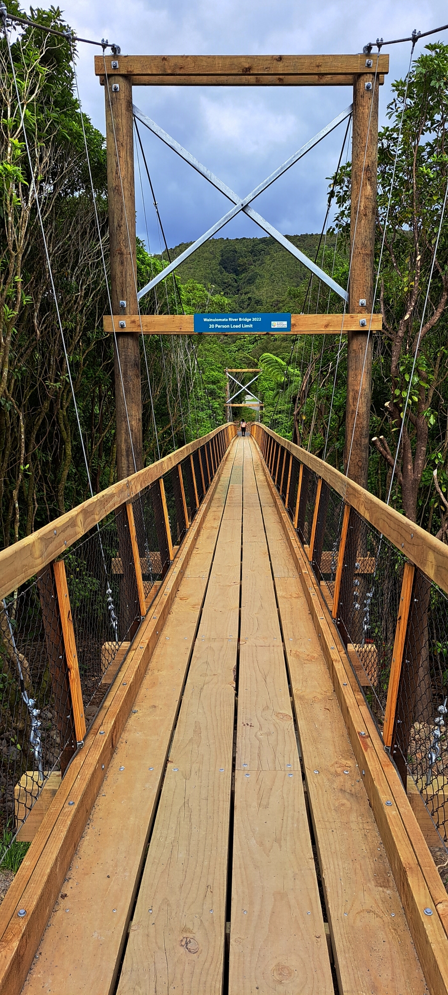
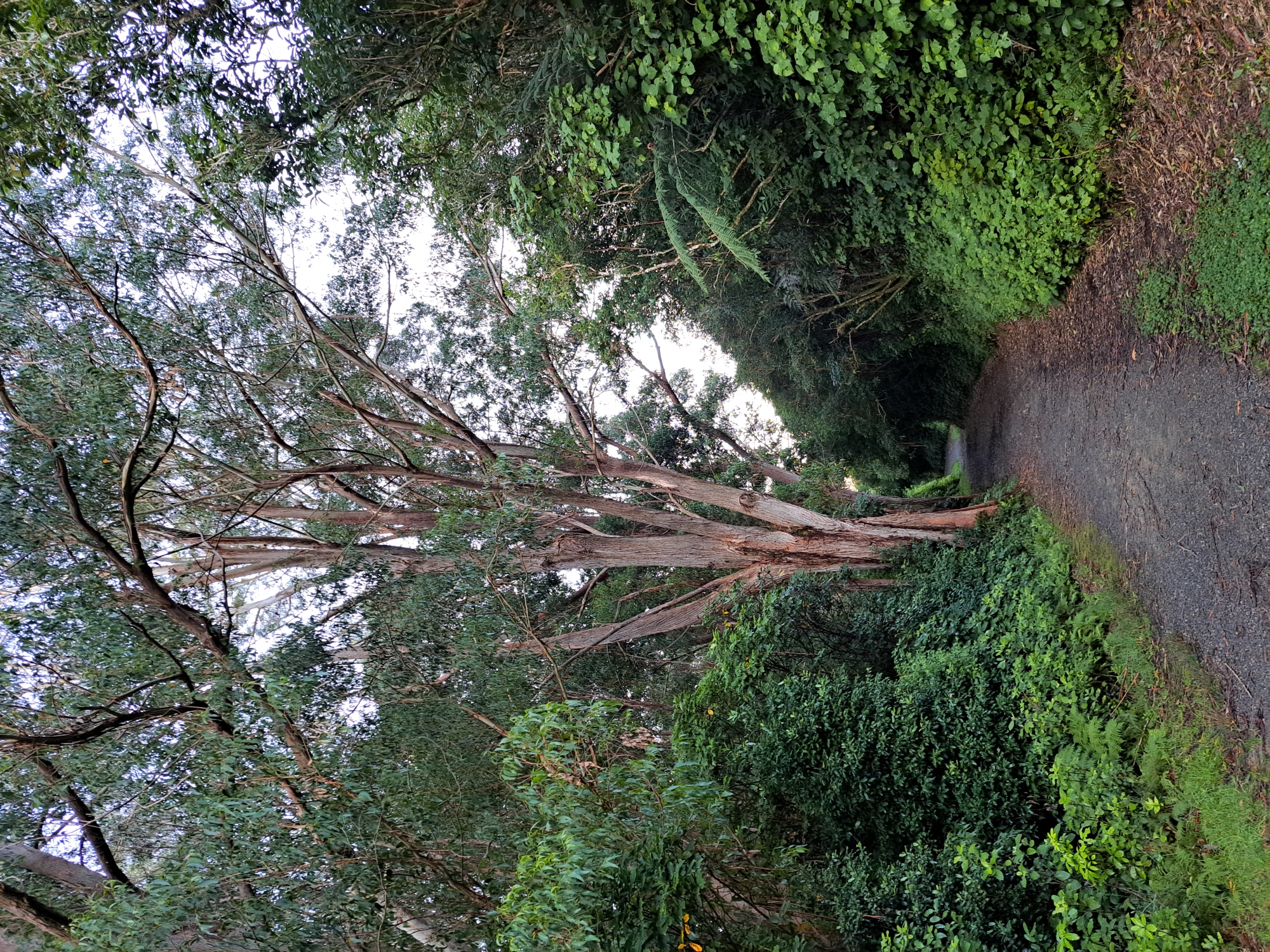
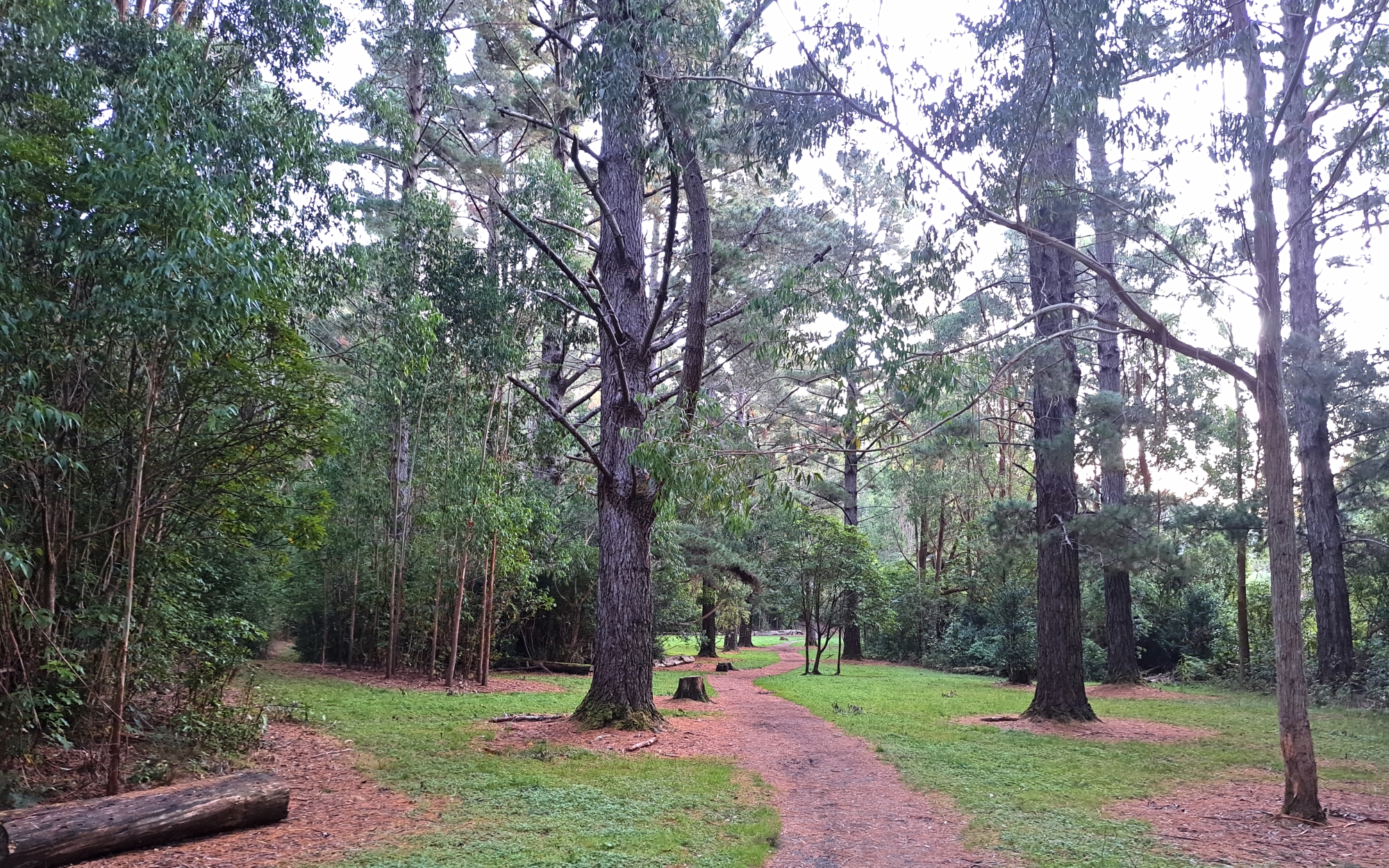
Gums Loop is the main family-friendly circuit in Wainuiomata Regional Park. It crosses open grassland before following the Wainuiomata River through gum trees and regenerating bush, passing old dam-construction house sites before returning by the sealed road.
Nikau Creek Track
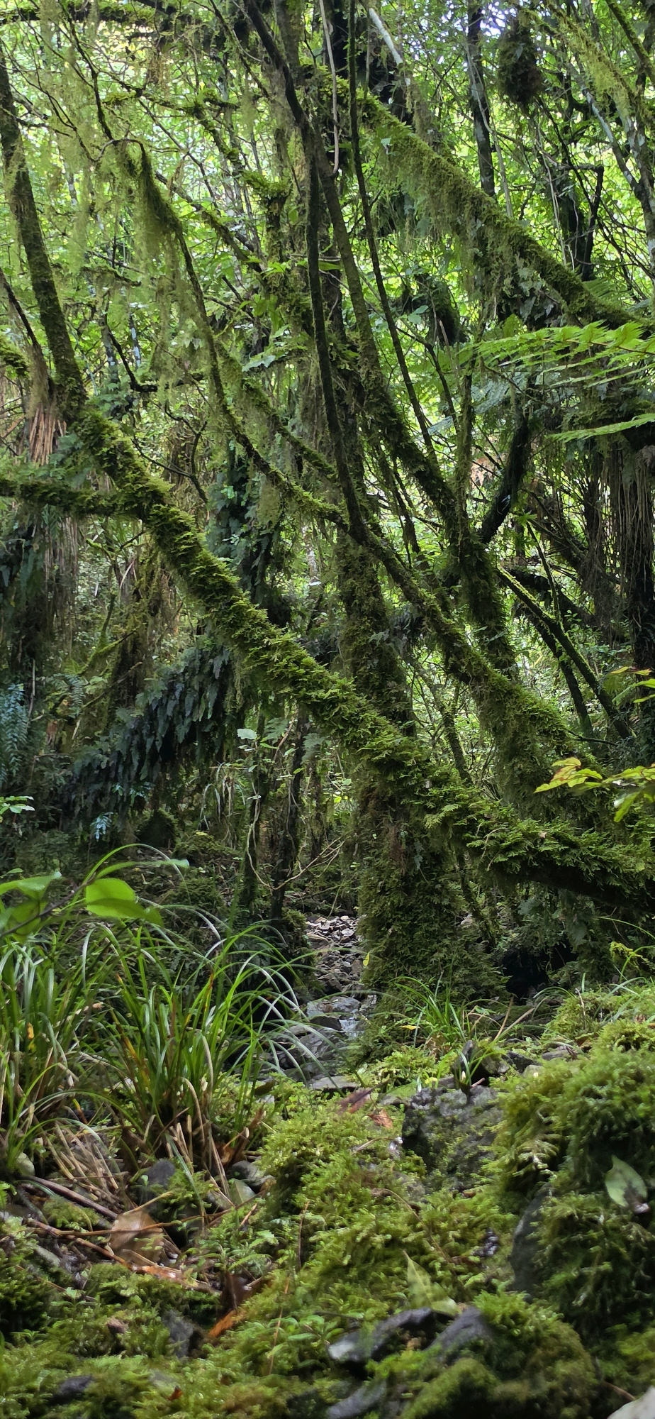
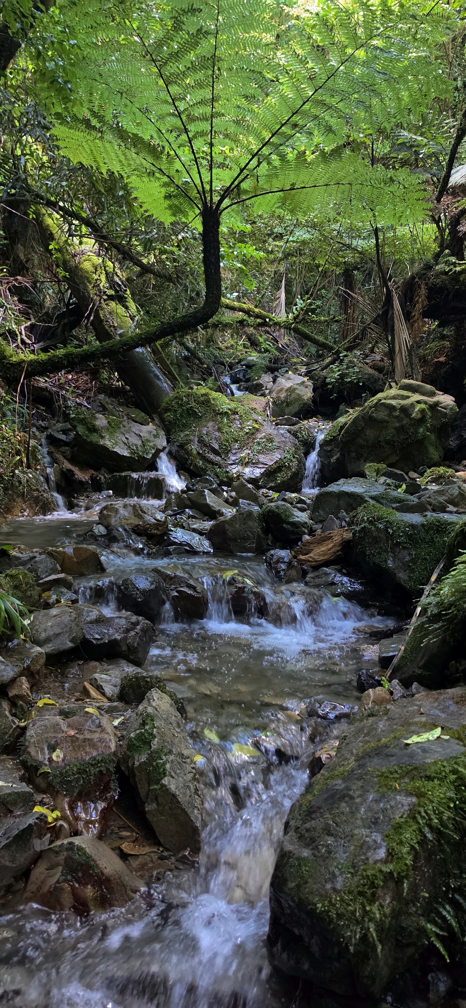
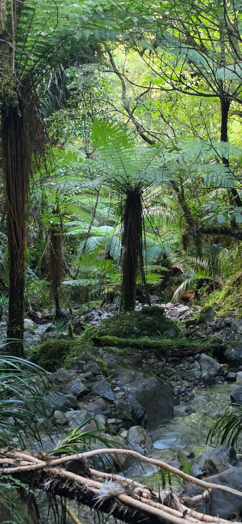
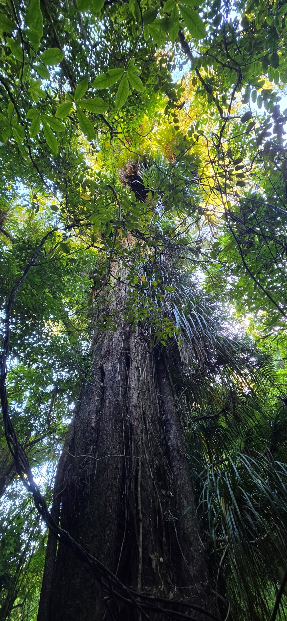
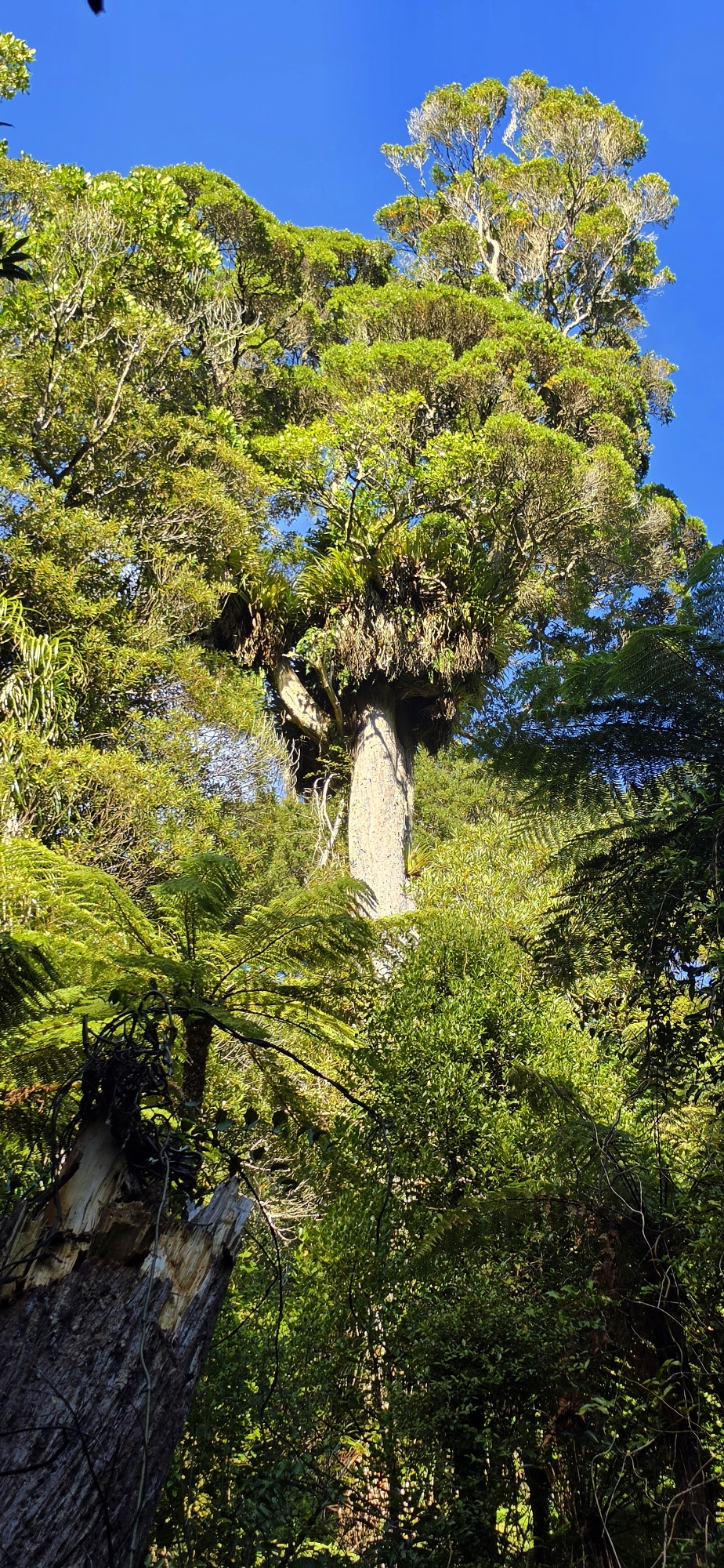
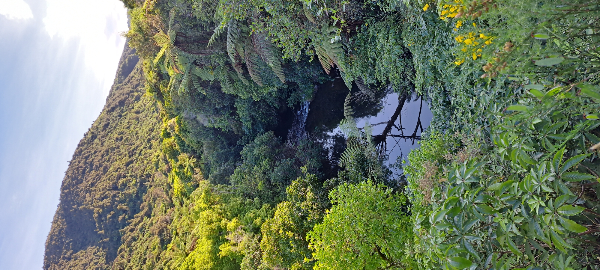
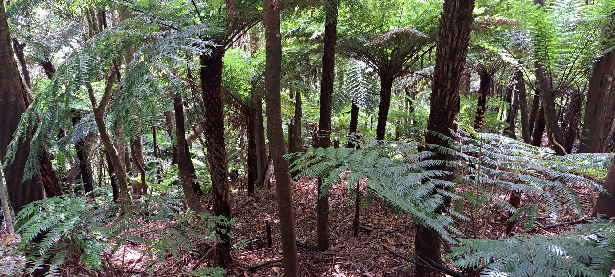
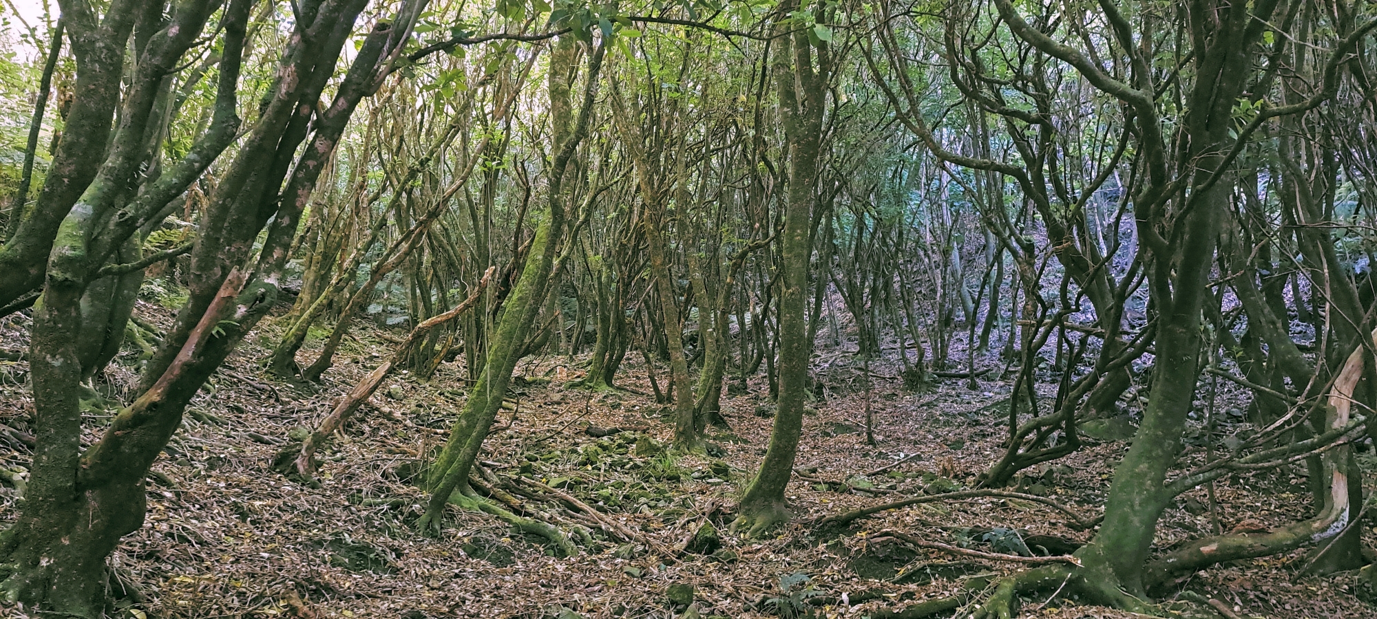
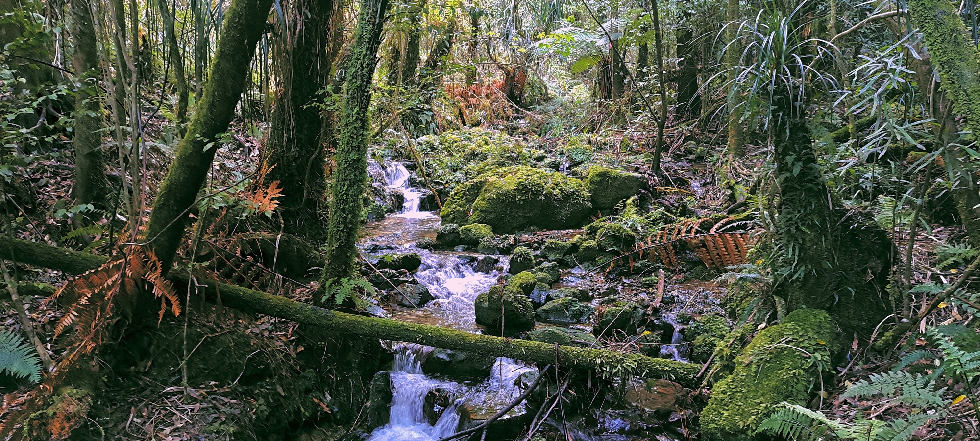
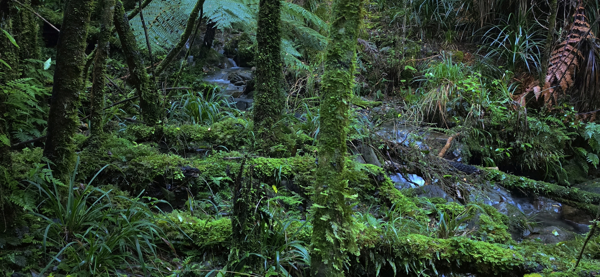
Nikau Creek Track branches off near the Gums Loop and follows Nīkau Creek into native bush. It is a short there-and-back walk with a quieter feel than the main loop, passing through regenerating forest before reaching more mature bush.
Sledge Track
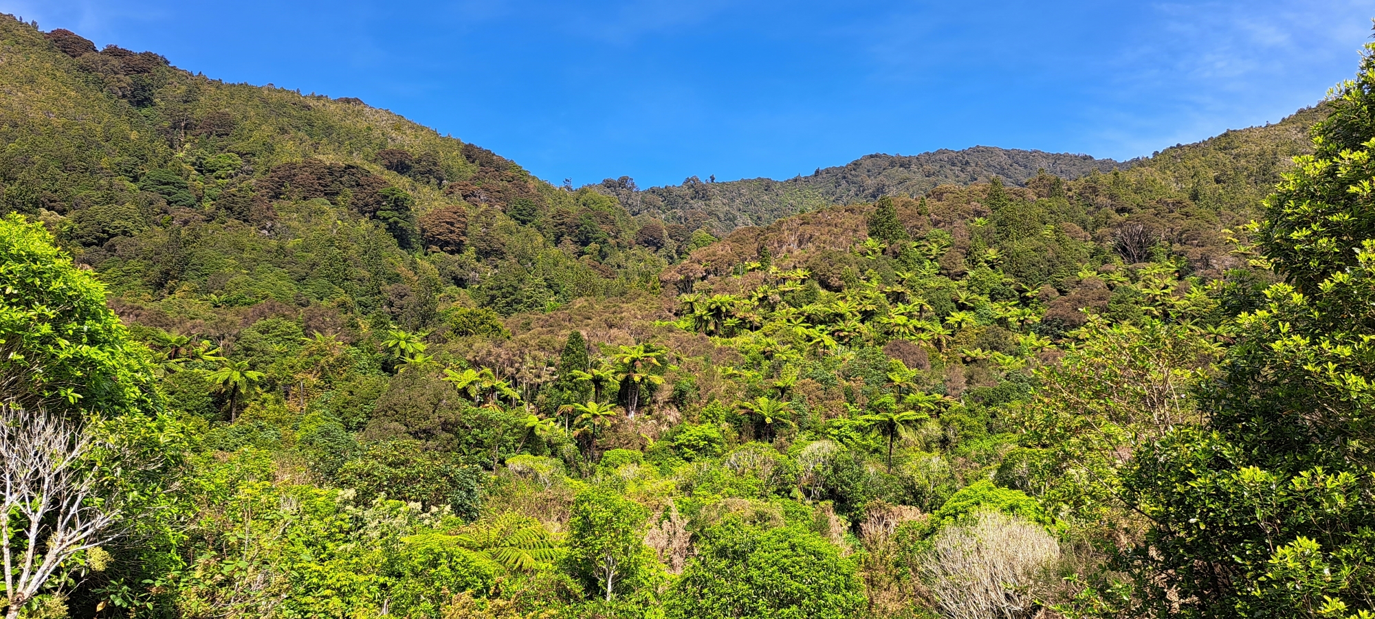
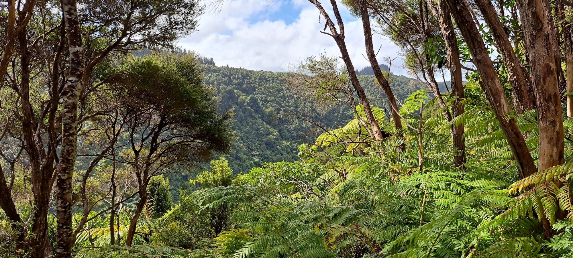
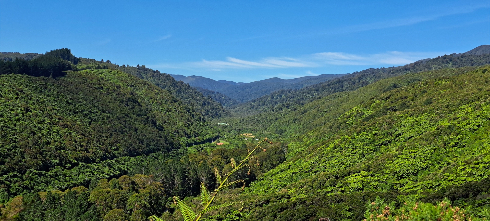
Sledge Track climbs through native bush beside Sledge Track Creek and follows part of an old logging route associated with the Sinclair family. The walk gives visitors a stronger sense of the park’s early European history, with bush, creek scenery, old house-site areas, and views back over Wainuiomata Valley.
Tana Umaga Track
Tana Umaga Track is a short but steeper route that links well with Sledge Track and Gums Loop. It was originally formed as a geological survey route and now gives walkers views towards the Lower Dam wetland and upper Wainuiomata River valley.
Whakanui Track
Whakanui Track begins near the Hine Road side of the wider park area and leads into Remutaka Forest Park. Although it is better treated as a Remutaka Forest Park tramp, it is an important Wainuiomata access route, connecting the valley with the Ōrongorongo River and longer forest tramping options.












DISCUSSION