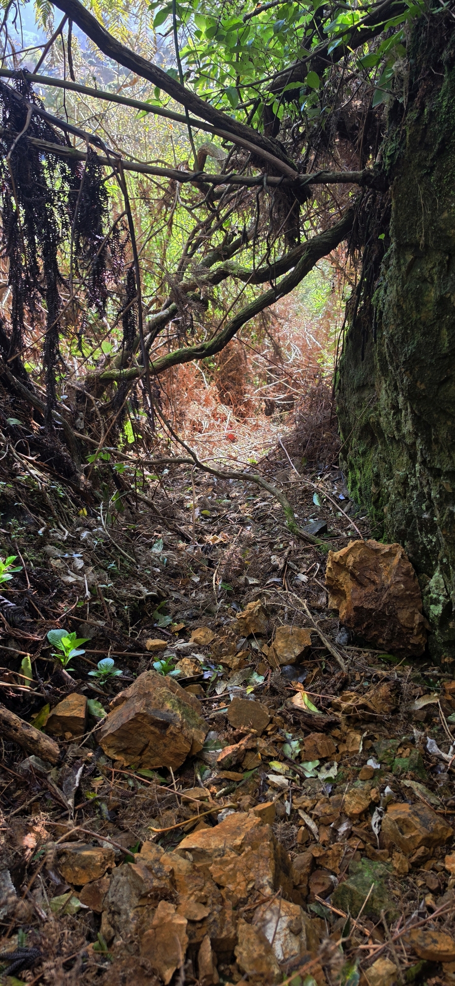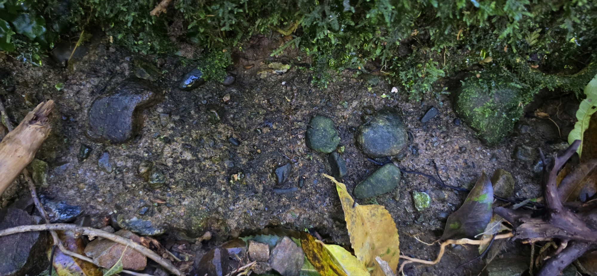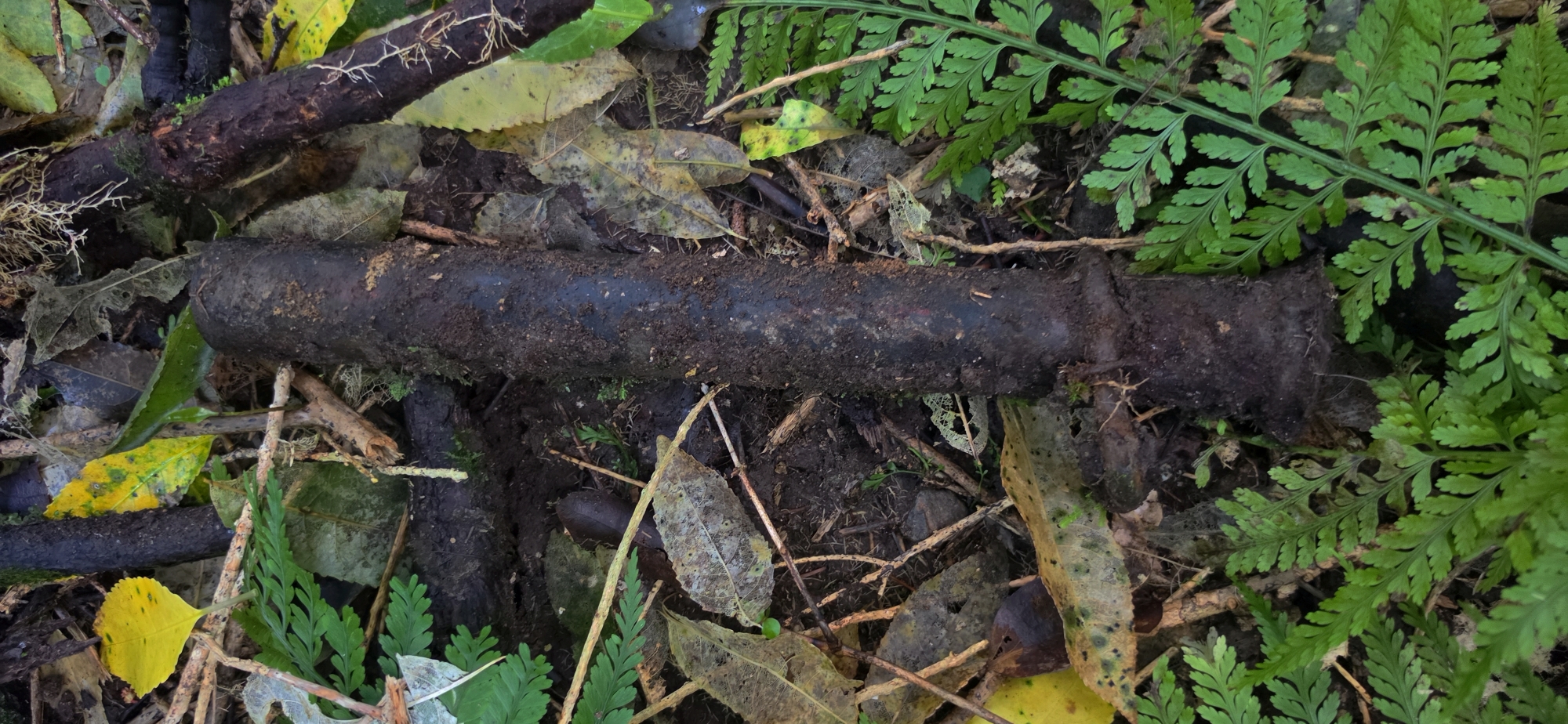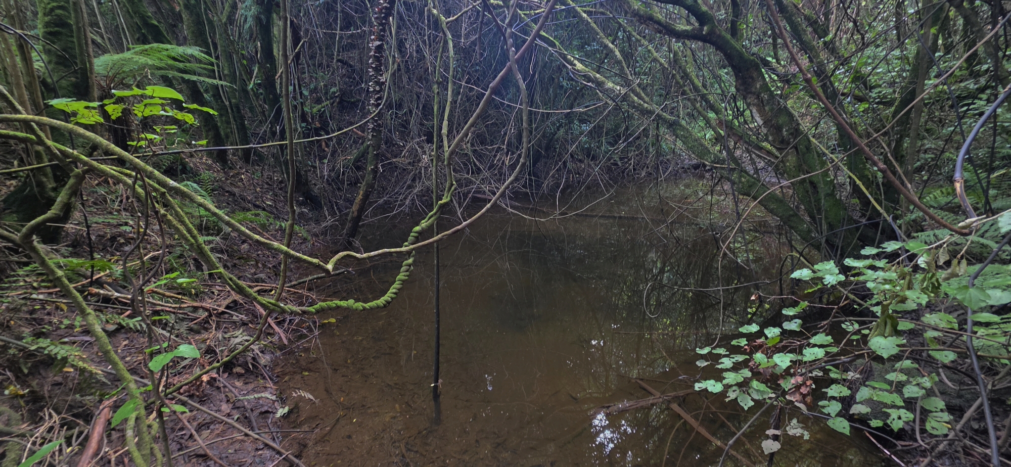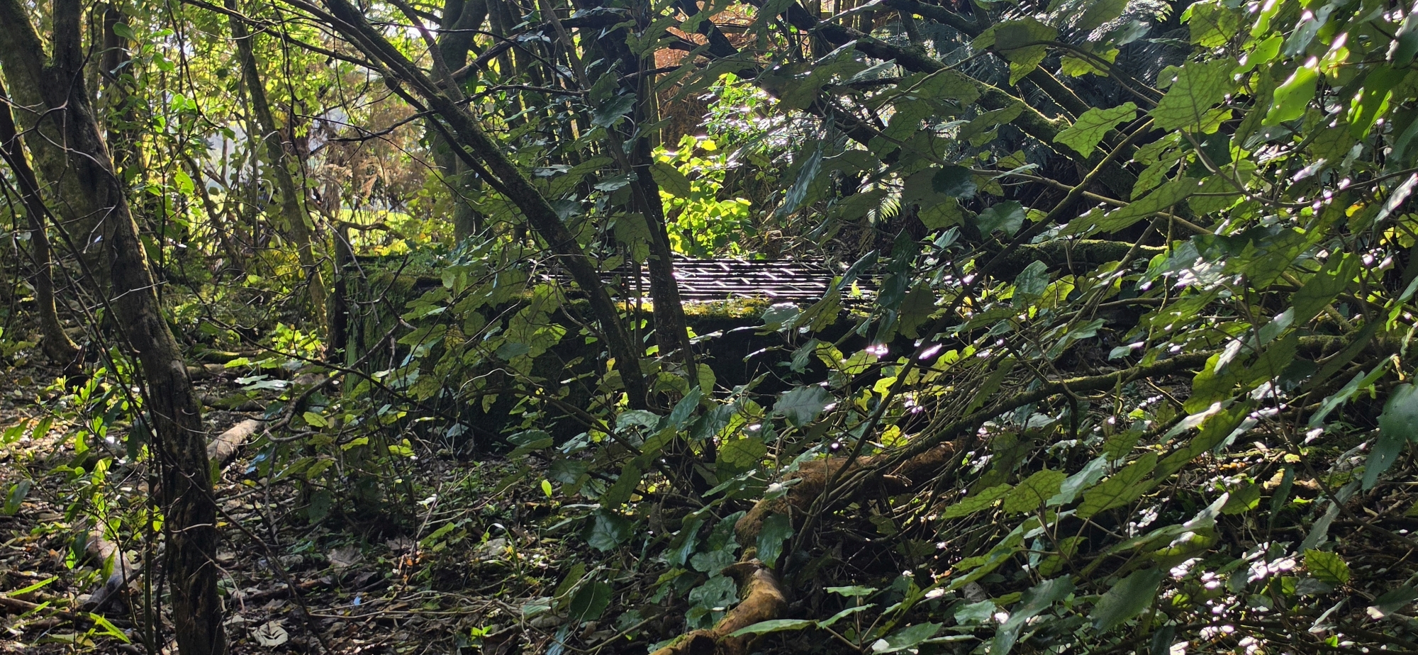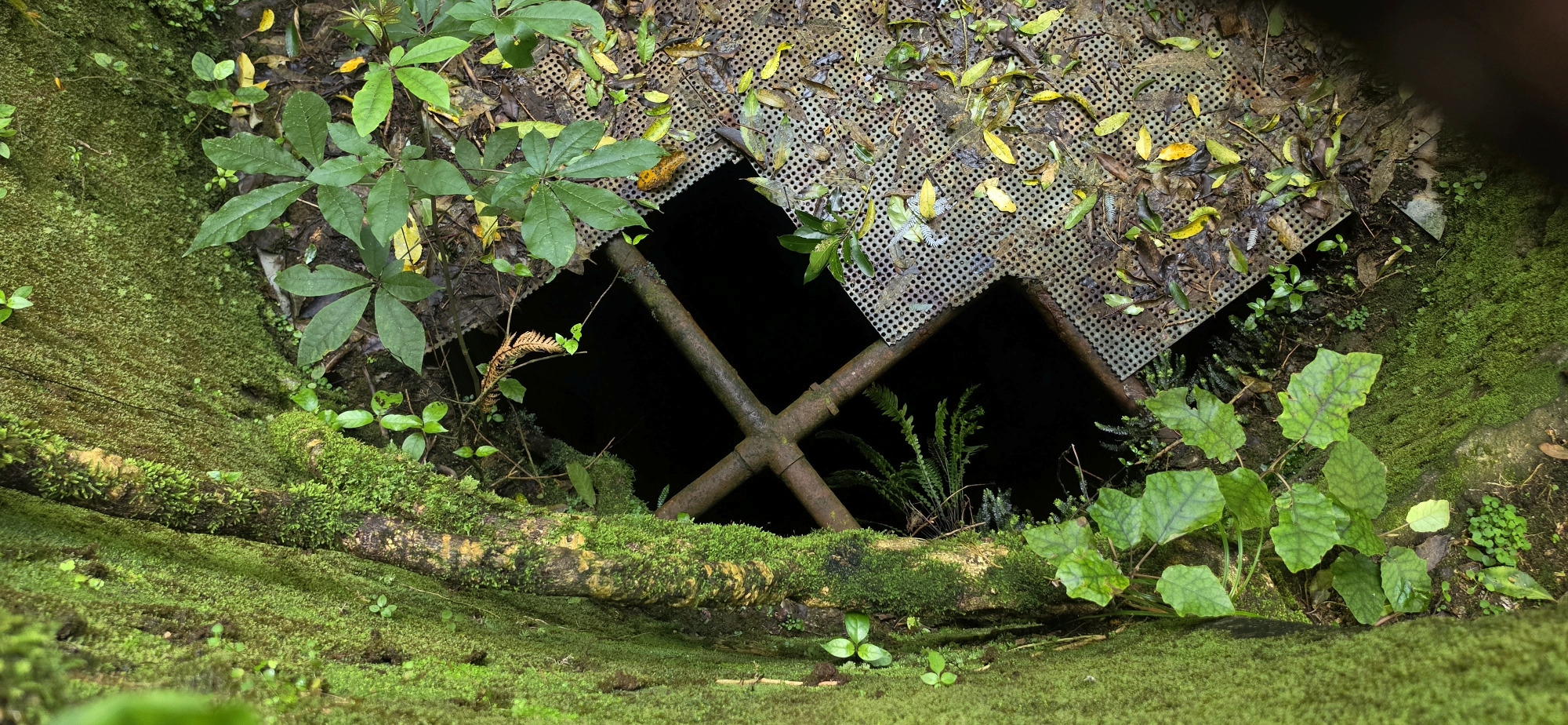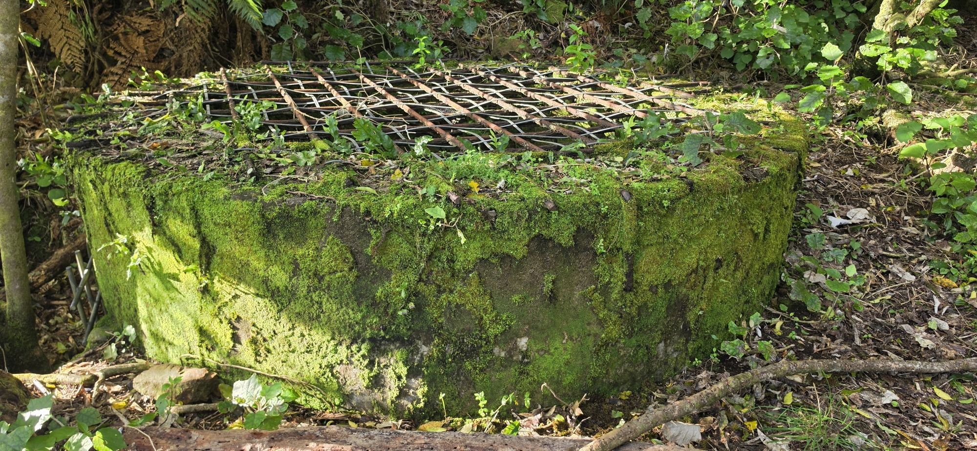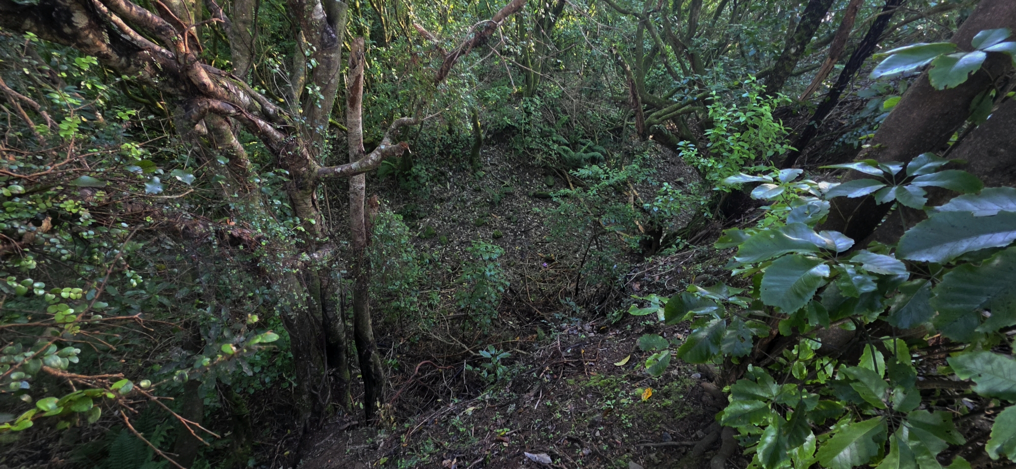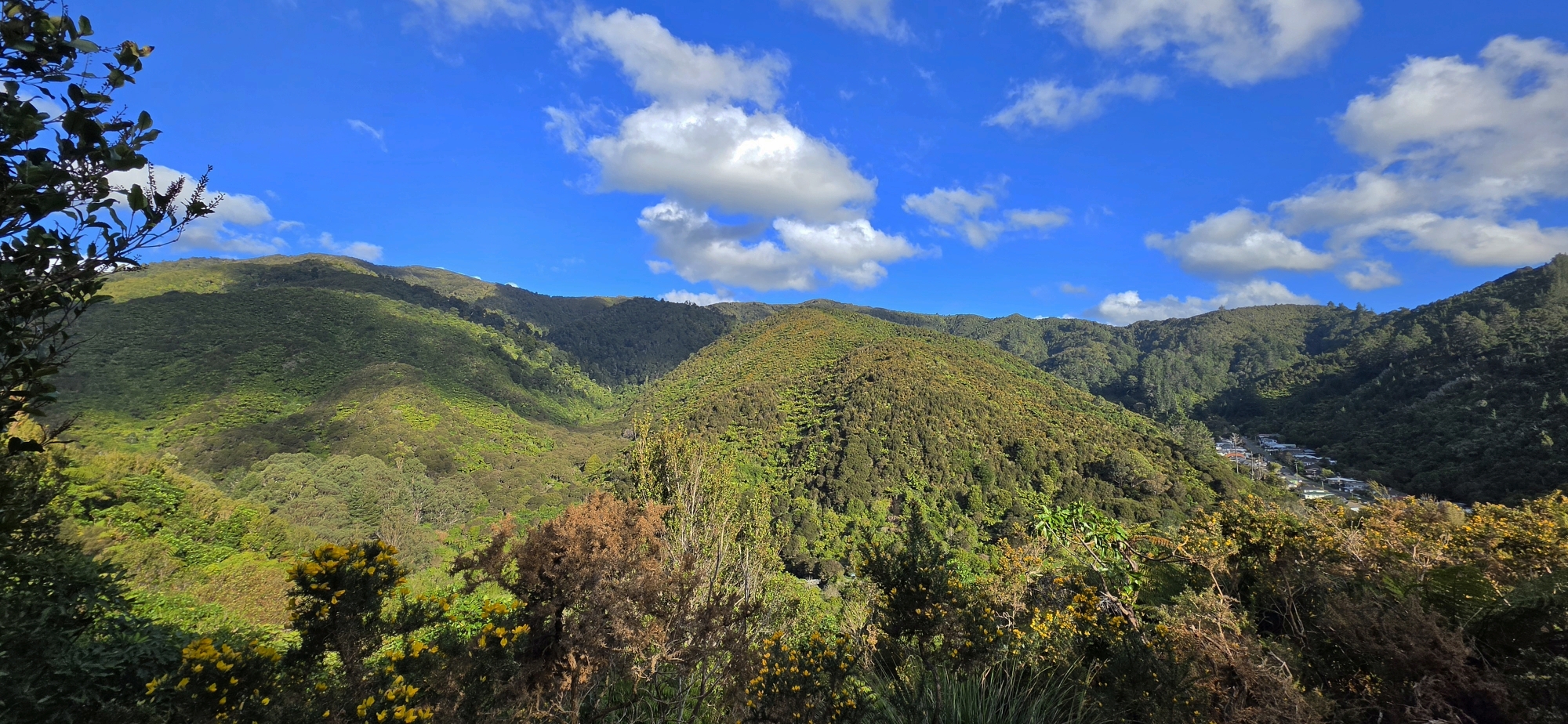
Searching a section of hillside for the water race and following forgotten tracks
The plan for today had been to tackle one of two big expeditions I have been wanting to do for quite some time. Unfortunately, I got away later than expected and also had to be home earlier than planned. That ruled out anything too ambitious, so while heading towards Wainuiomata I started thinking about somewhere easier that I could explore.
I decided to head to the Hine Road Recreation Area car park and explore a section of hillside where, despite several previous searches, I have never been able to find any definite sign of the old Wainuiomata water race.
For some time I have been trying to work out exactly where the race runs through this area and, in particular, to solve the mystery of a trench that curves around a spur above or below it. I suspect the trench may be part of the old water race access track, which ran above the race and provided access to the manhole entrances. On an earlier bush bash I followed what appeared to be this track around the spur, only to find myself walking directly into the mysterious trench which I do not think was a coincidence.
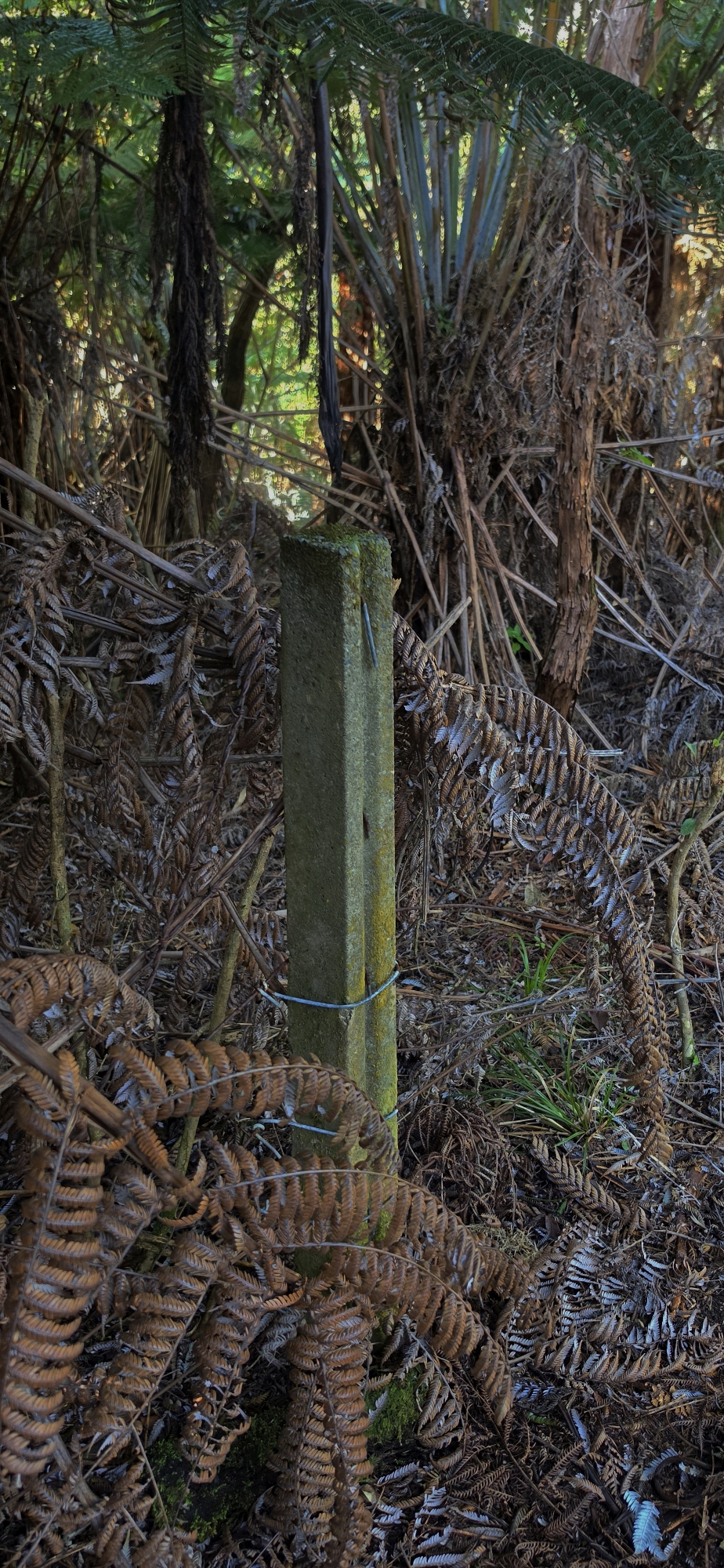
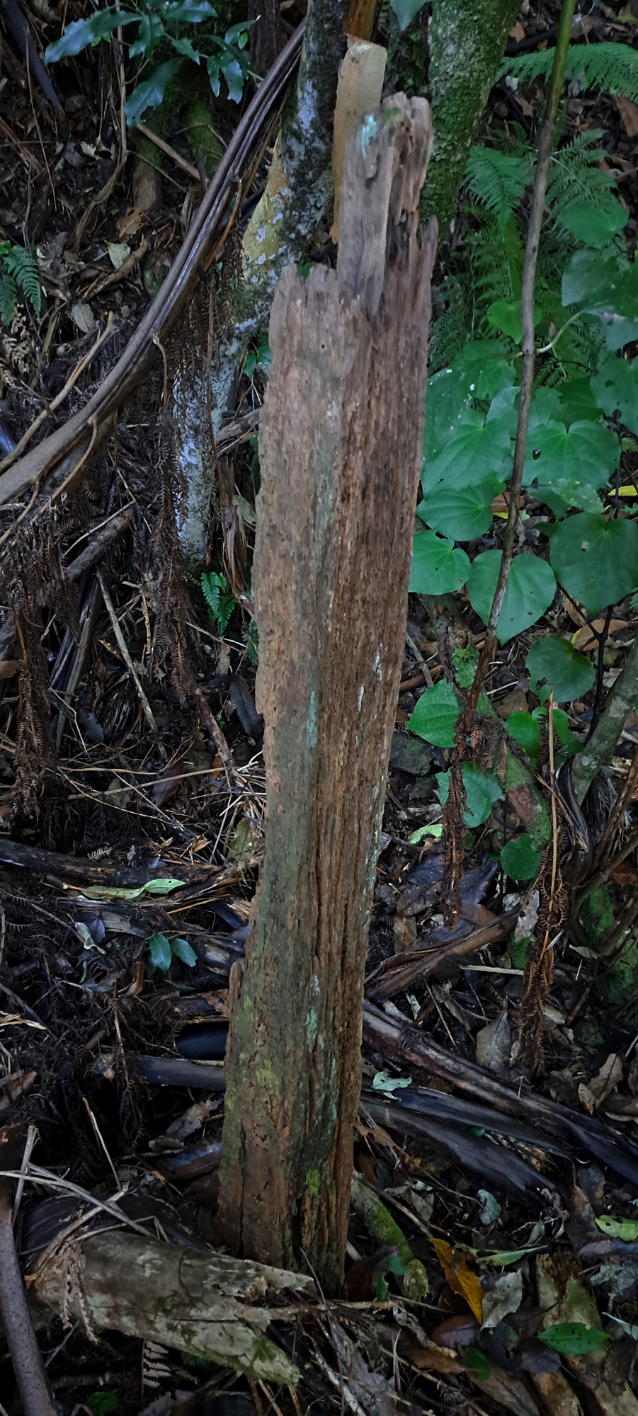 Further east is another clue: an old wooden post standing beside the track. It looks as though it may once have held a sign or marker, so the idea today was to search both areas more carefully for any evidence of the buried race.
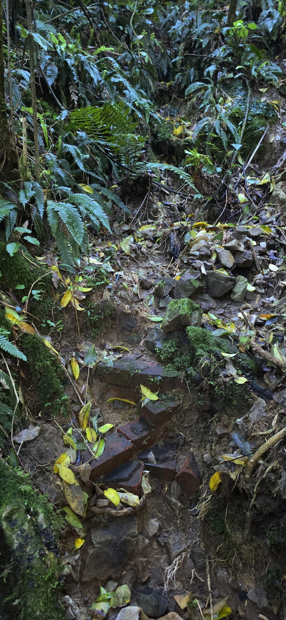
I first headed to the Scour Pipe, part of the Orongorongo Pipeline system, and from there followed the trench. I cleared away some loose rocks and debris in likely-looking spots, but found nothing. I then continued on to the old wooden post and searched around there as well, with the same result.
Perhaps the race lies slightly further to the left or right and I simply missed it. Who knows? In the locations where I have already found access points to the water race, they have generally been positioned against the bench cut of the old track, so that was where I concentrated my search.
From there I pushed further east and came across a depression beneath a tree on the steep hillside. It looked interesting enough to investigate, so I removed a few rocks and stones, but soon hit dirt and clay. That would require proper digging.
It is difficult to know whether the site is a genuine candidate. The sections of the water race I have found elsewhere tend to be buried beneath rocks that have gradually moved down the steep hillside over the decades. When I hit solid dirt or clay, I usually begin to suspect I am looking in the wrong place.
I marked the spot for another visit and moved on.
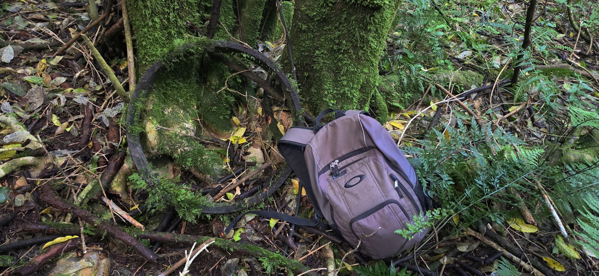 Next I headed towards an area where, on an earlier trip, I had discovered a large metal ring. I managed to relocate it and also found an old metal pole nearby. The ring itself was surprisingly heavy when I lifted it. What either object was originally used for remains another small mystery.
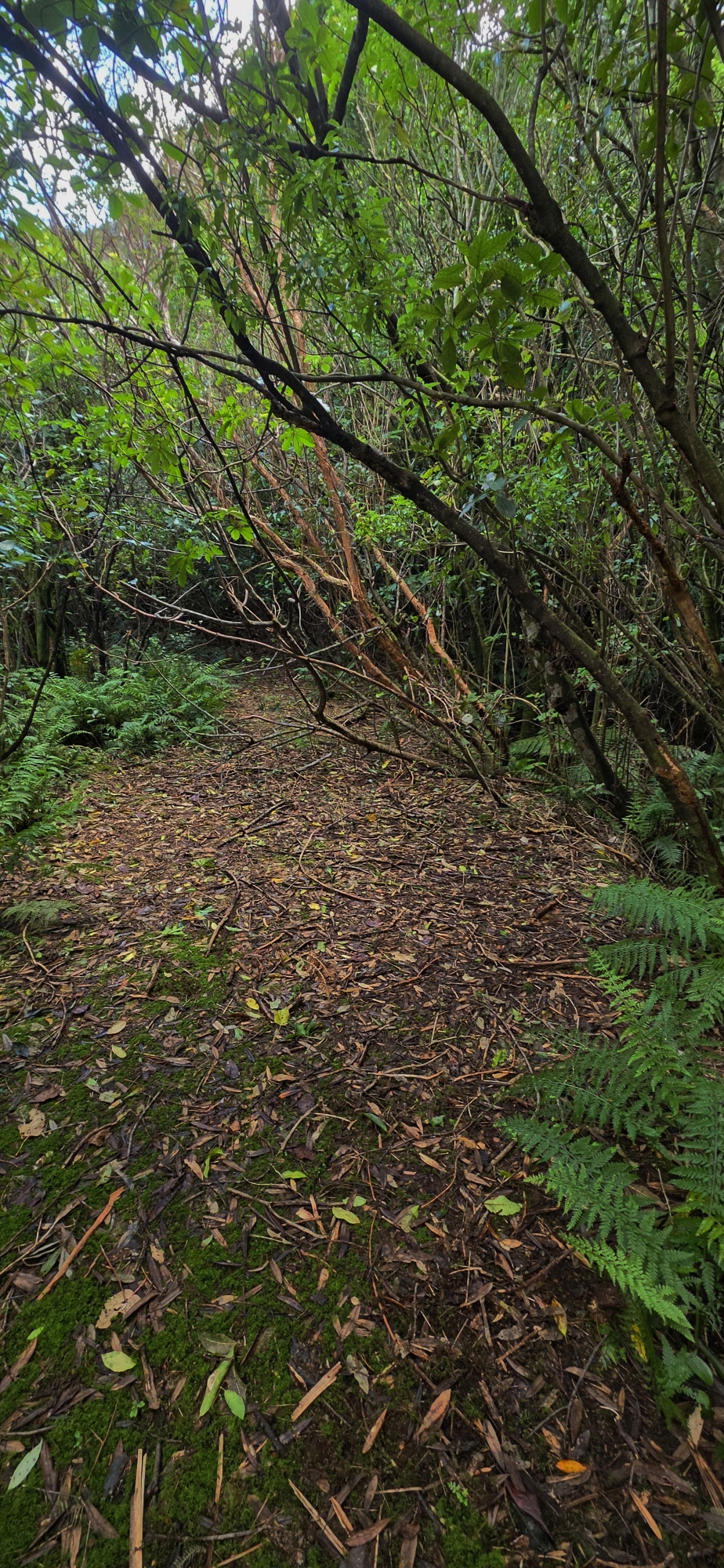
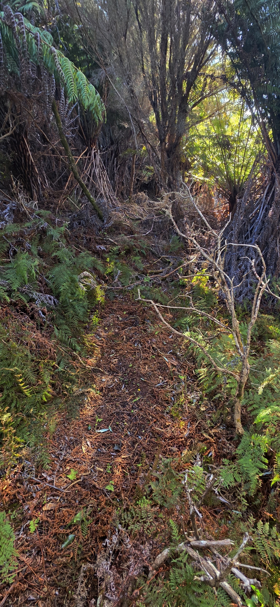
I then dropped down to the road below the hillside and continued along it. Near the security gate I followed what appears to be an old track running slightly above the road. The route is heavily overgrown, but despite cutting across a steep hillside it remained remarkably flat, but quite narrow. I followed it as it gradually gained height before beginning to descend again as it ran along and slightly above the road. Rather than following this track as it headed downward, I decided to bush bash directly up the hillside.
That brought me out between the old wooden post and the mysterious trench. From there I headed for the trench, then headed up to the earth bridge on Maintenance Track, an old section of track or road running above the Orongorongo Pipeline. I then photographed the water trapped behind it this bridge and continued towards the Old O-K Venturi Meter Hut. Before reaching the hut, I turned uphill towards an area where I believe another section of the water race track survives.
However, instead of following that route which I have done before, I decided to keep climbing straight up the hillside as it looked inviting and I kept heading up till I reached the ridgeline.
Along the top is an old fence marking the boundary with private property extending from Moores Valley. Beside the fence is an old track, now partly swallowed by gorse and young mānuka. I had encountered it on an earlier bush bash, but had never followed it for any great distance.
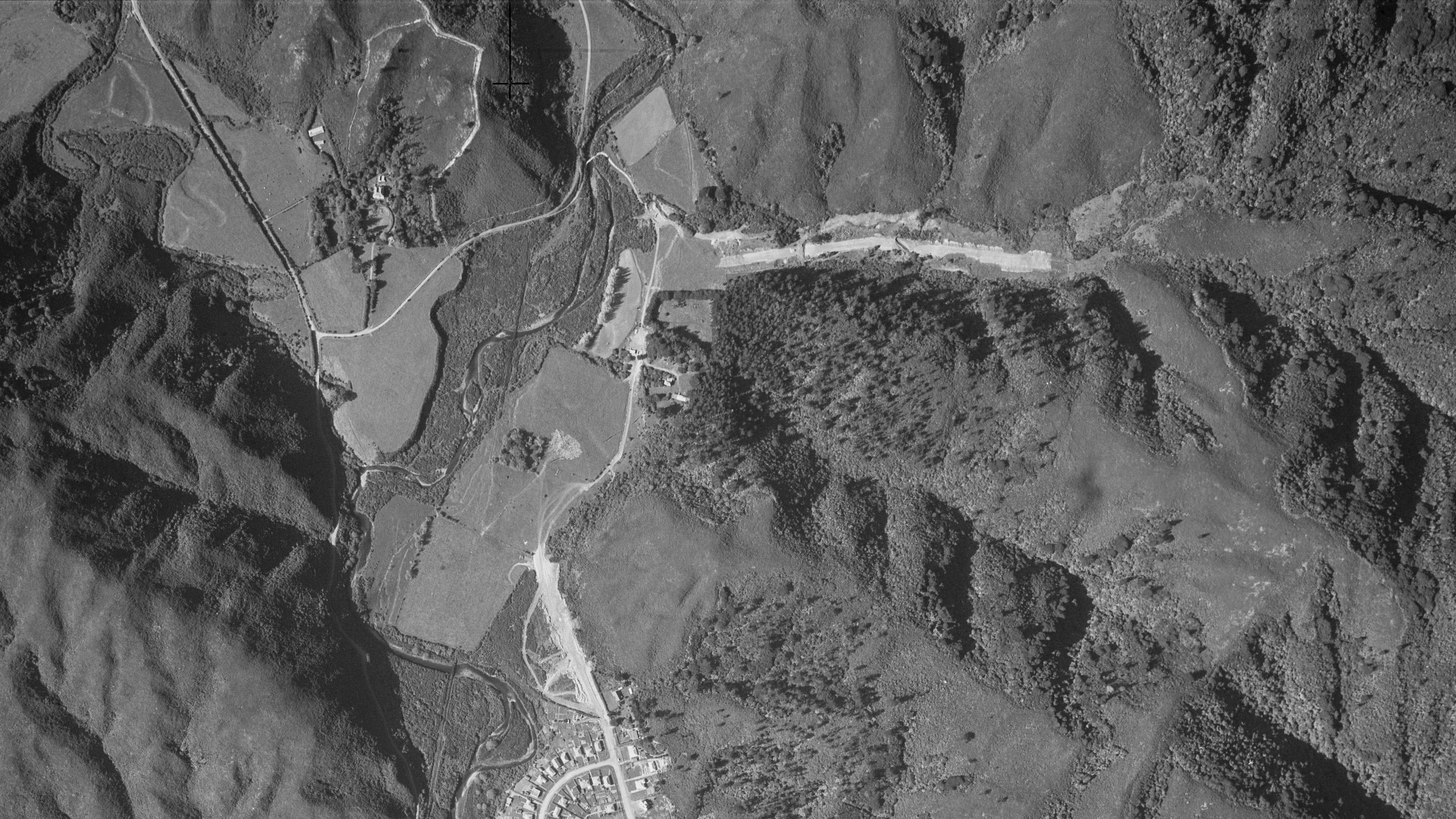
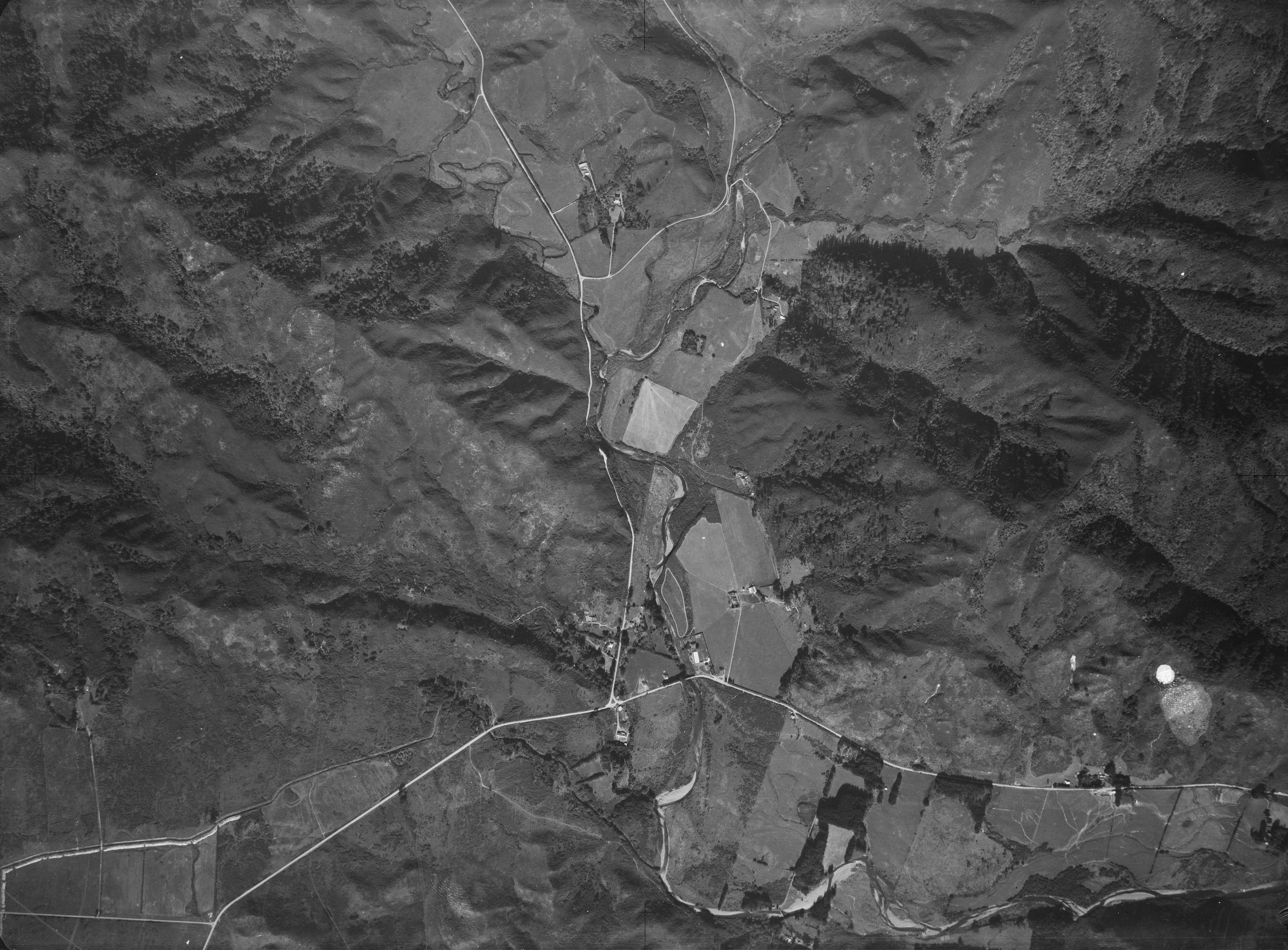
1954 aerial photo
This time I headed west along it.
As I walked, it gradually dawned on me what I might be following. The route lined up remarkably well with a freshly cut firebreak visible in aerial photographs from the early 1950s, around seventy years ago. However, when I examined aerial photographs from the early 1940s, the same track could still be seen, although much more faintly.
1941 aerial photo
This suggests that the original track may date back considerably further. Those 1940s aerials also appear to show that the track began on the property known as House Northbrook.
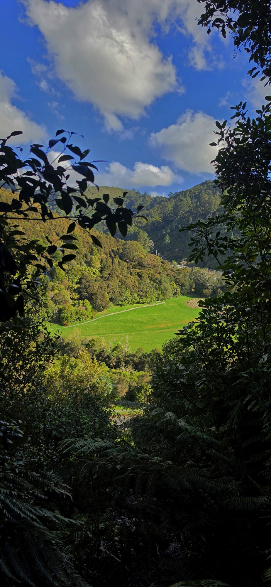
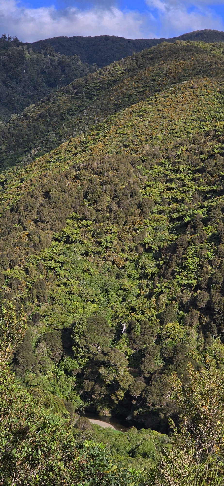
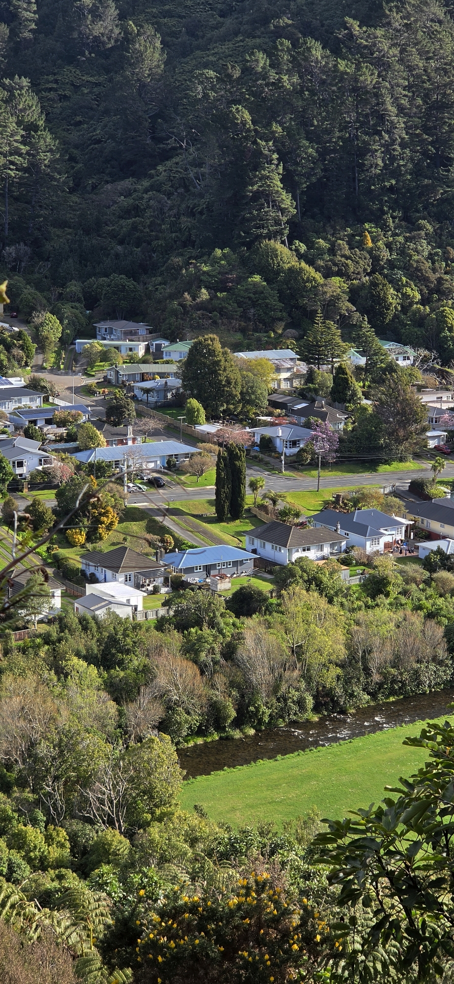
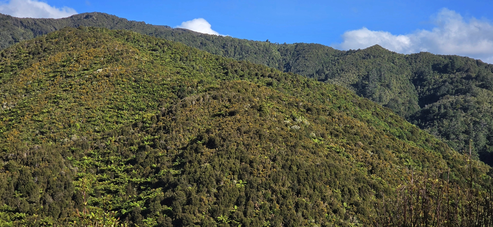
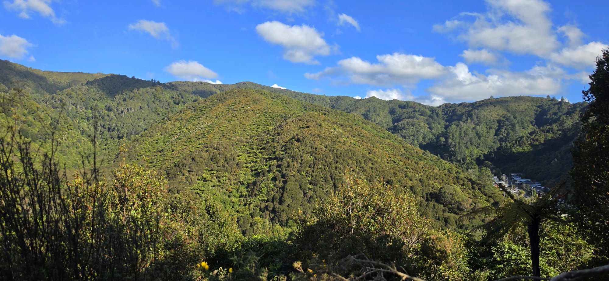
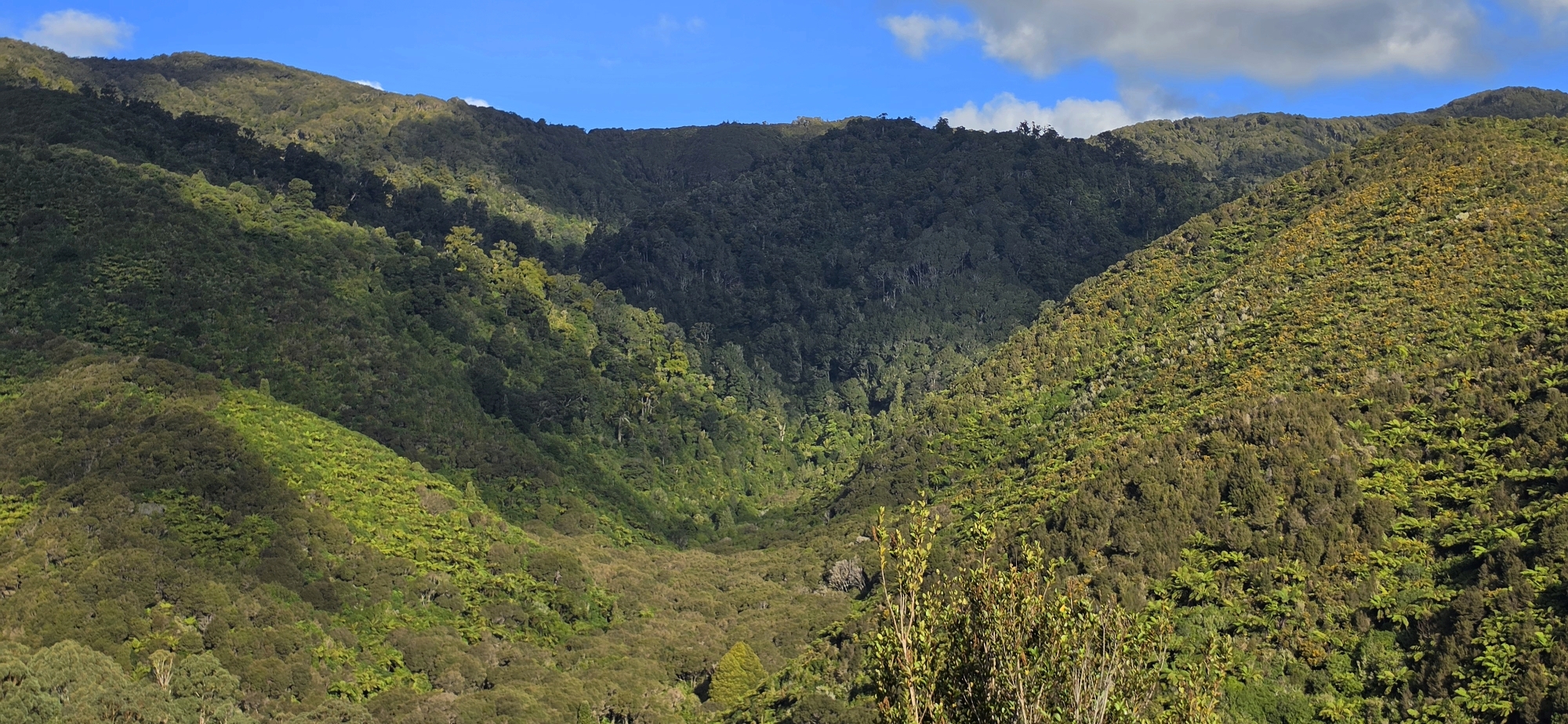
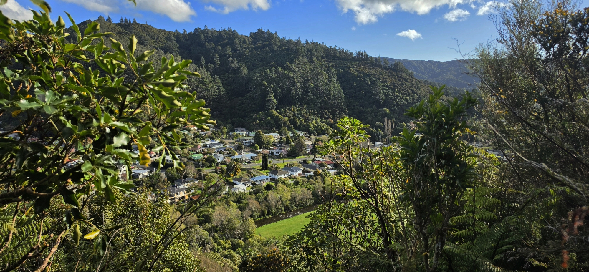
At times the track disappeared into thick gorse and I had to detour around the worst sections. Every so often the vegetation opened just enough to give me partial views down across the regional park, the recreation area, Hine Road and Sunny Grove. Of course I took photos when I had the chance.
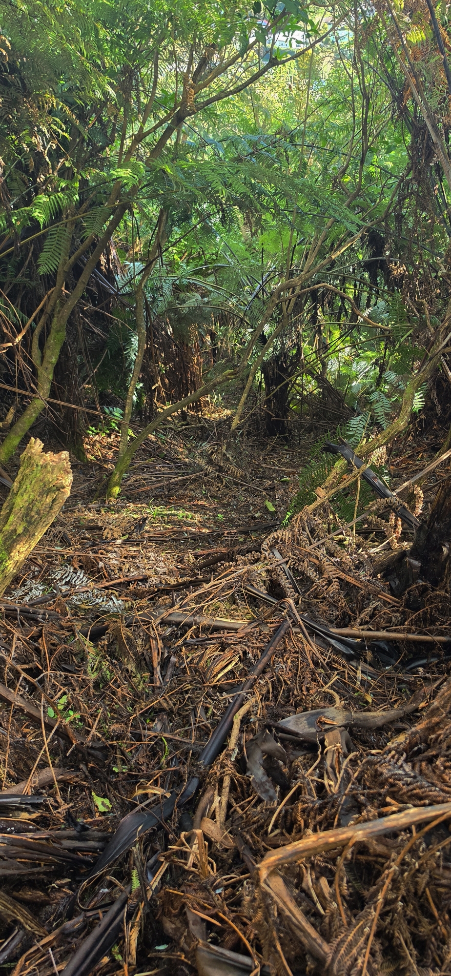 Eventually, I reached the end of the ridge, where the ground dropped away steeply. There appeared to be an old route descending the hillside, although it did not seem to be part of the original firebreak. Judging by my position, I calculated that if I followed it downhill, I should emerge somewhere near the shaft of Coleman’s Tunnel.
That calculation proved correct.
This raised an intriguing question: why would the shaft at Coleman’s Tunnel have been a track leading down from the old firebreak above or near that firebreak? Could it have been another access route used during the construction of Coleman’s Tunnel in the early 1880s?
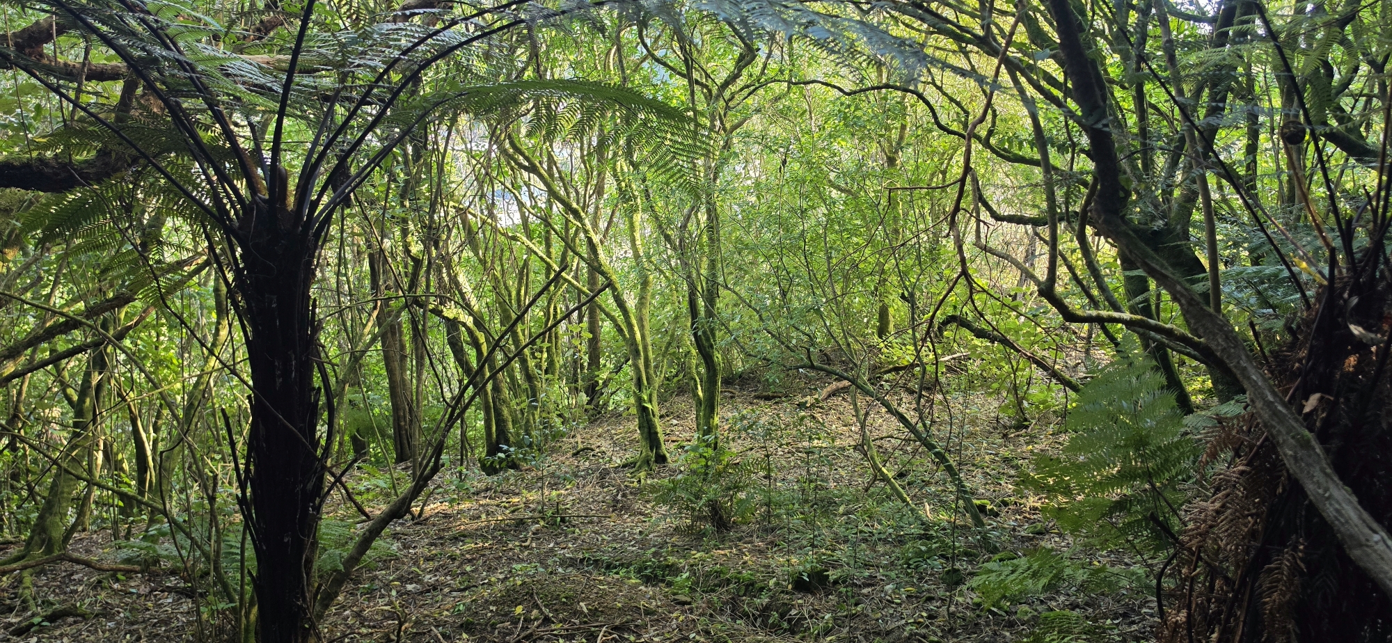 The area around the shaft also appears to be one of the widest sections of the Water Race Track, suggesting it may once have served as a working area where tools, equipment and construction materials were stored or handled while the tunnel was being built.
It is in this section that you can see the exterior of the water race itself where soil had been removed to expose it. From there it was only a hop, skip and a jump to the tunnel shaft.
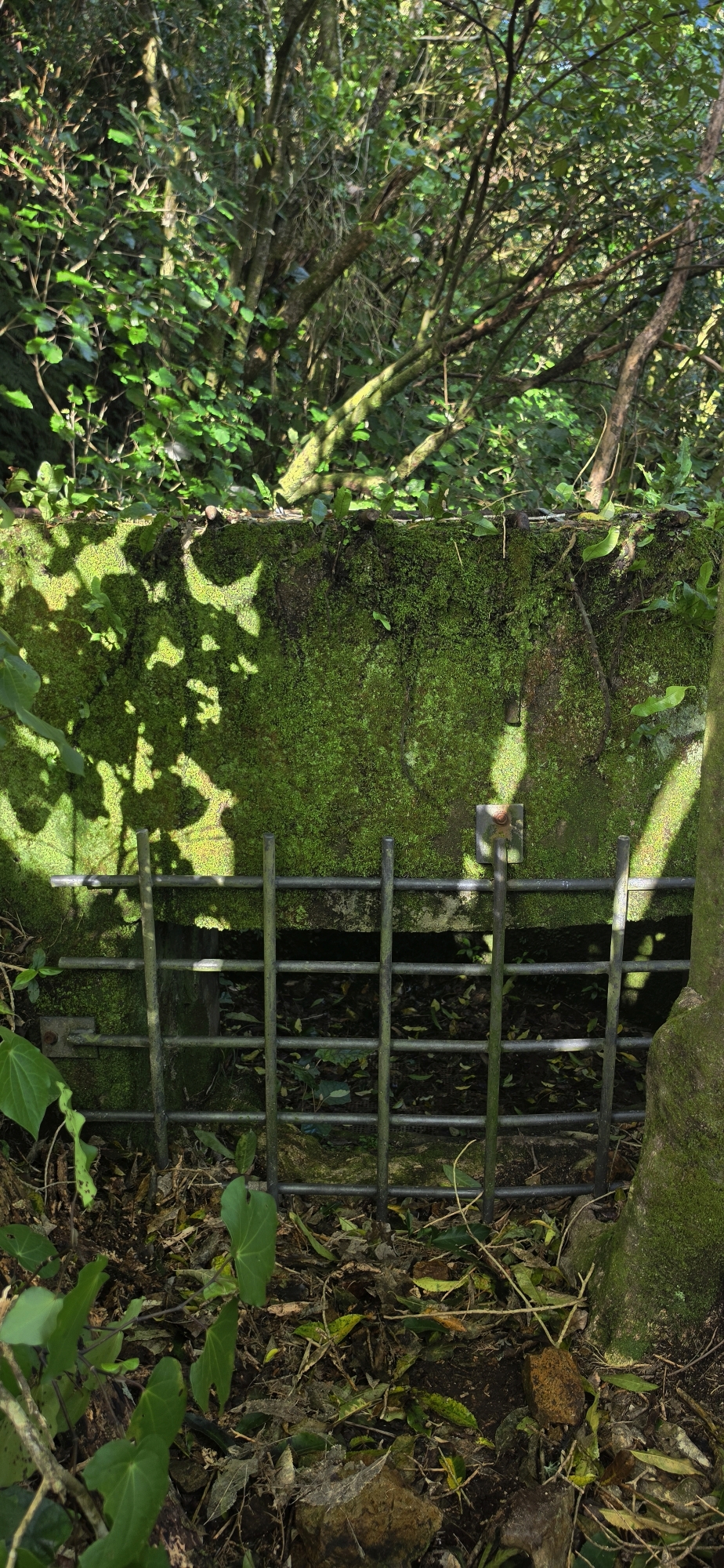 At the front of the shaft is an opening that acted as an overflow outlet whenever too much water entered the system. During the 1880s and 1890s, overflow water poured through here and travelled down a chute carved into the rocky bank below.
I had explored this chute before, but this time it seemed steeper than I remember it. I followed it all the way down to see where the water would actually have gone.
That turned out to be more adventurous than expected.
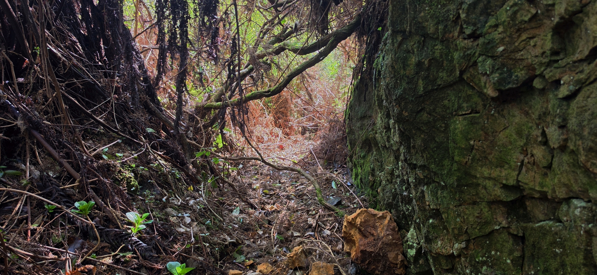 Given its steepness and rocky floor, I had to use nearby branches and vegetation to steady myself as I descended. At one point a handhold suddenly gave way. A small avalanche of fine, dry soil slid into the chute and straight down the neck of my T-shirt. Because I was nearing vertical at the time, I could feel the dirt running down my back and stomach.
There was only one solution. Off came the shirt momentarily so I could shake it all out.
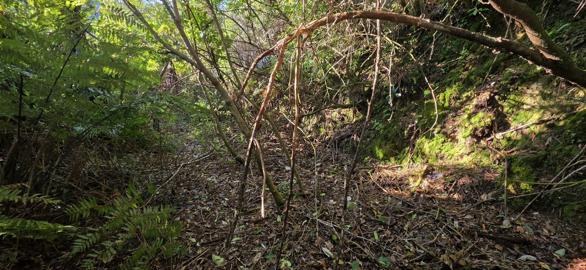 In no time at all, the chute reached the remains of the Orongorongo Maintenance Track below, which is now extremely overgrown.
That raised another question.
If overflow water came down the chute, did it simply continue downhill towards Reservoir Road below? That seems an unusual arrangement, as a large volume of water flowing directly down the slope could have caused serious erosion and potentially damaged the entrance to Coleman’s Tunnel further below the road.
Perhaps there was once a trench or channel running roughly along the line of what later became the Orongorongo Maintenance Road. If so, it may even have influenced the route or construction of the later road or track. Without further evidence, however, exactly what happened to the overflow water after it left the rocky chute remained a mystery at least to my mind at the time.
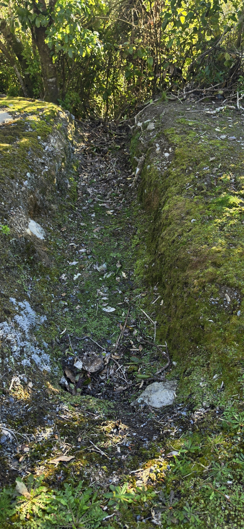
Once I emerged onto Reservoir Road, another possible clue appeared. Alongside the road is a trench below the bank above and it leads towards a narrow pipe running beneath the road. From there, an earth cut water channel carries water into what is now Richard Prouse Park below.
This could, of course, be a more recent feature, but I am inclined to think it may be older. Modern drainage would more commonly use pipes or formed culverts rather than a relatively crude channel cut directly into the ground.
There is also a drain alongside the road, a little further south, which appears to funnel water back into the underground tunnel. If this drain existed in the 1880s and 1890s, then at least some of the excess water must have made its way back into the tunnel. At first thought, this seems to defeat the purpose of removing the excess water in the first place. However, on reflection, it probably did not matter. By this stage, the main water supply had already entered the 30-inch pipe to Wellington, while any excess water flowing back into the tunnel could simply continue through it and discharge onto the land below.
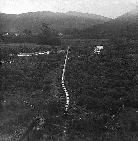 In the 1880s and 90s, the area below the road likely looked very different from what we see today. Old photographs suggest it was largely covered in regenerating scrub and low vegetation, rather than the developed parkland that now occupies the site. At the time the tunnel and shaft were operational, directing overflow water into this area was therefore unlikely to have caused any problems.
There is also an old photograph from the 1880s showing Coleman’s Tunnel, with the shaft visible on the hillside above. I have tried to trace what I believe may have been the route of the overflow, and I think part of it may be visible in the photograph.
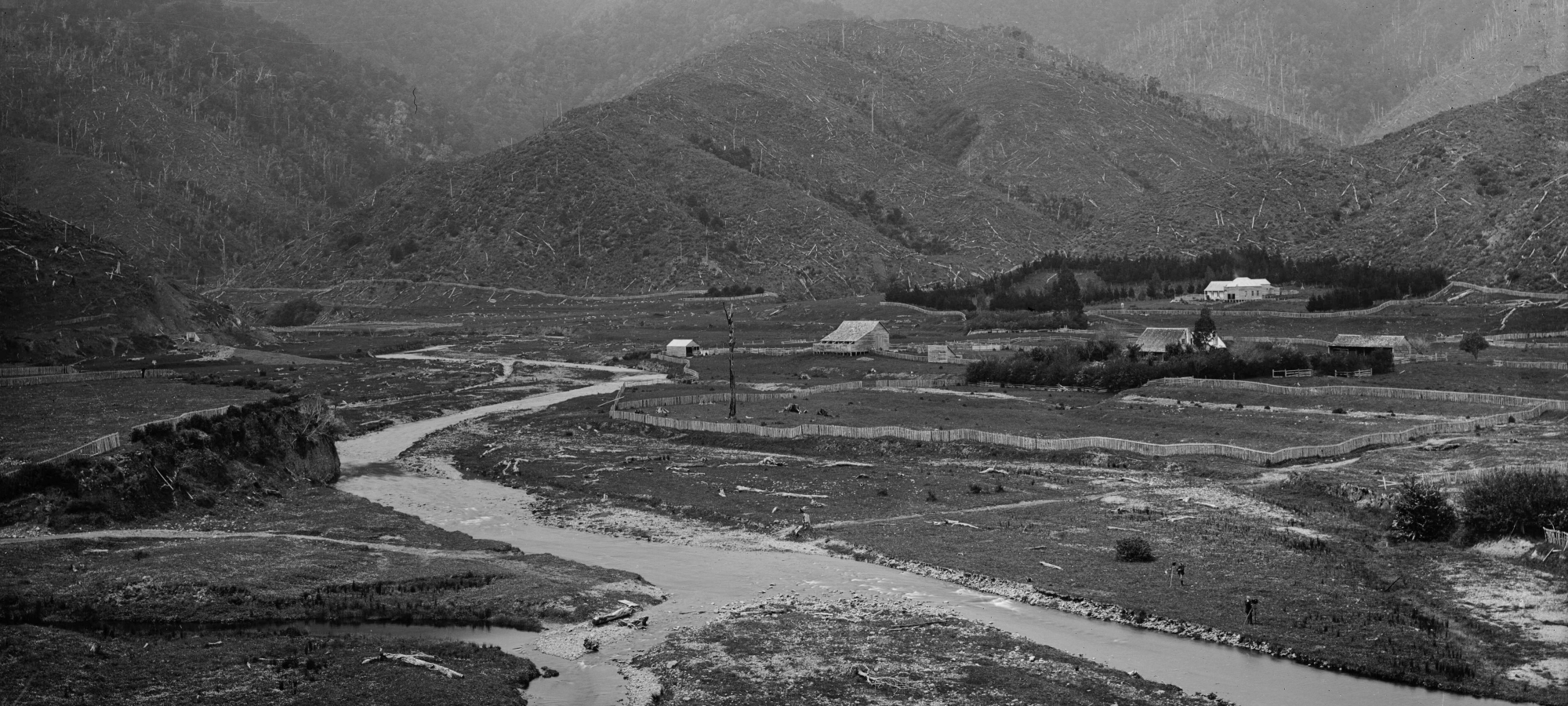 What happened to the water after it left the main chute, however, remains a mystery. Looking closely at the image, it is possible to imagine the water being carried horizontally along the hillside before dropping down at various points. That interpretation is far from certain, though. Fallen trees, shadows and other features in the photograph can easily create misleading patterns and lead to pareidolia, so it would be unwise to draw too much from the image alone.
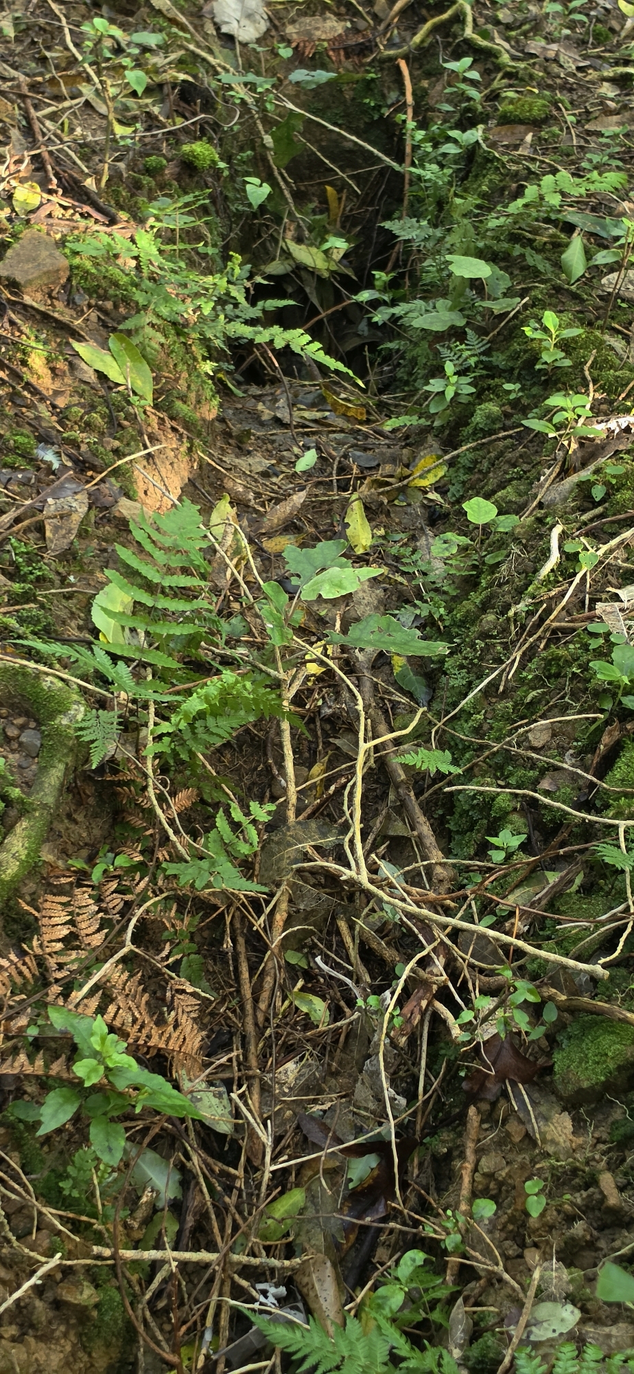
The same photograph, also shows a former stream of the Wainuiomata River running between Top Pool and Secret Pool. I took a photograph this old stream bed during this exploration, and that image is in the gallery below.
I eventually headed back to the car. I had not solved the mystery of the missing section of water race, nor had I conclusively identified all of the old overflow route from the shaft at Coleman’s Tunnel.
But that is often how these explorations go.
So, while I came home with relatively little actually solved, I did uncover several new clues and burned a few calories in the process.
I’m not sure about you, but I call that a win.