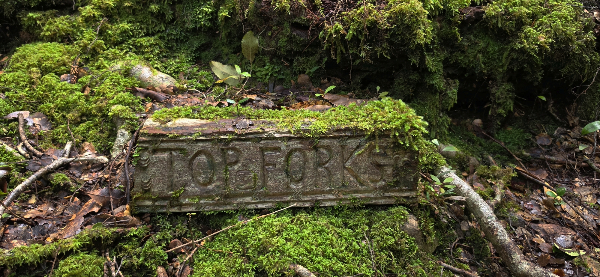
A third attempt at finding evidence of historic gold prospecting in the Northern Forest
The plan today wasn’t to explore the hillside directly behind Lees Grove like the last couple of times. Instead, the aim was to head towards Lowry Trig, then drop into a gully I had scouted on an earlier bush bash.
There was a reason for choosing this particular gully.
An old newspaper article from 1901 describes an exploration somewhere in or near Gollans Valley, where several men located a quartz reef and examined an old winze that had been sunk about 10 feet into it. I had often wondered whether this could be connected with the old workings I had been told about behind Lees Grove.
The location certainly seemed possible. It wasn’t actually on the Lees Grove hillside itself, but beyond it, over the ridge and down into a gully overlooking Gollans Valley. But still behind Lees Grove all the same.
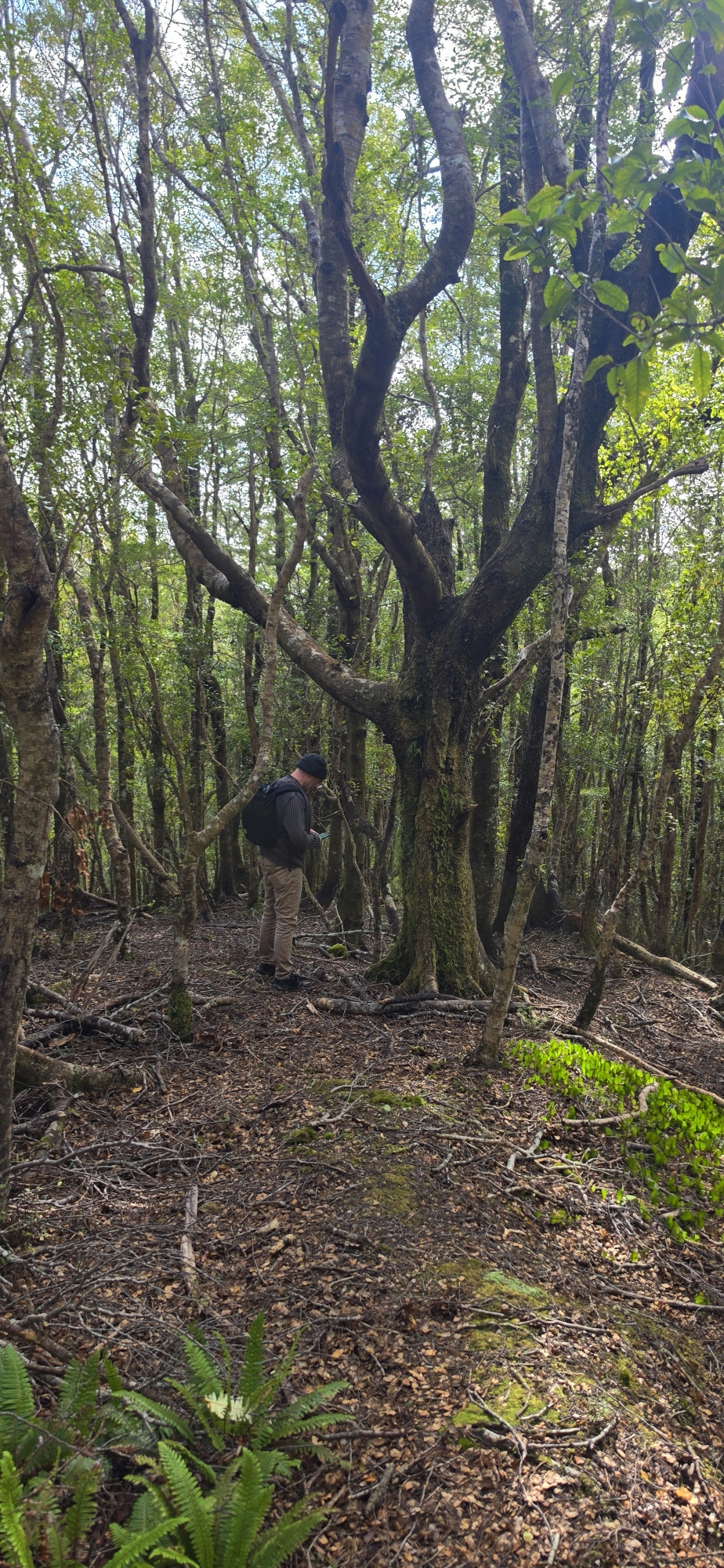
Tony Weir joined me for the trip, and we set off up the Lees Grove Track. We passed Lowry Trig and continued to the lookout not far beyond it before backtracking slightly and leaving the track by dropping down into the bush.
We were looking for a location that matched this description from the old newspaper article:
At last we heard somewhere up in the southern sky a faint halloo, and as venturing along insecure places, the slipping of a foot on which must have sent the unlucky one rolling far down the mountain flank, the welcome intelligence “I have found the reef!” came sailing to us on the wings of the morning, and hastening we soon, after several hairbreadth escapes, conquered the highest spur overlooking Gollan’s Valley, and were pointed out by our [text missing] three feet thick, housed between a hanging wall of sandstone and footwall of slate.
Someone had, a great many years ago, sunk a winze on the reef for a depth of about 10ft, for from the bottom thereof grew to a height above the shaft a fern tree. This winze enabled me to make the following observations.
On this high spur, overlooking Gollan’s Valley to the south, and at the head of a watered gully trending down to the valley, this quartz measure crops out, and its downhill side is covered with rotten papa and quartz boulders, so that one cannot well ascertain its dimensions nor composition further than that the surface quartz is more or less cavernous, the cavities being more or less filled with peroxide of iron.
In simple terms, we were looking for the head of a stream in a gully on a high spur overlooking Gollans Valley with a view to the south.
And where we were standing seemed to fit, although the trees obscured the view.
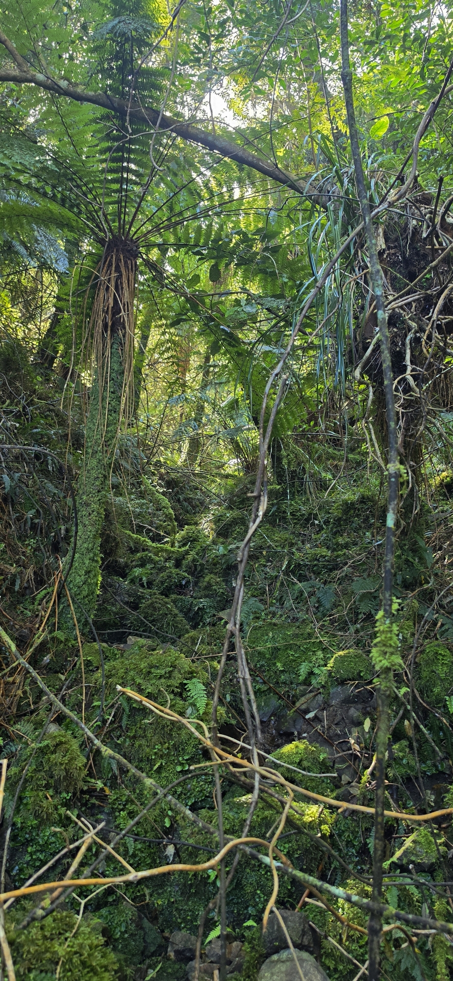
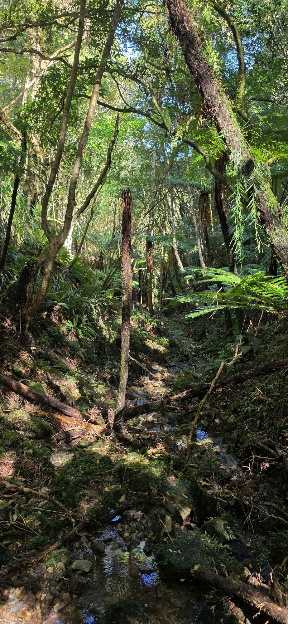
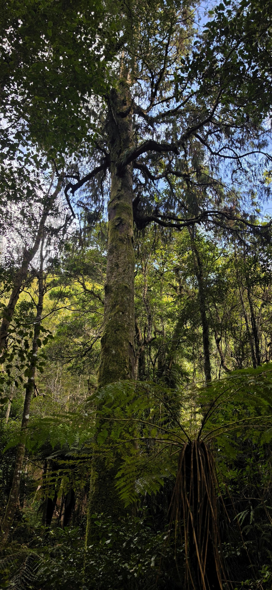
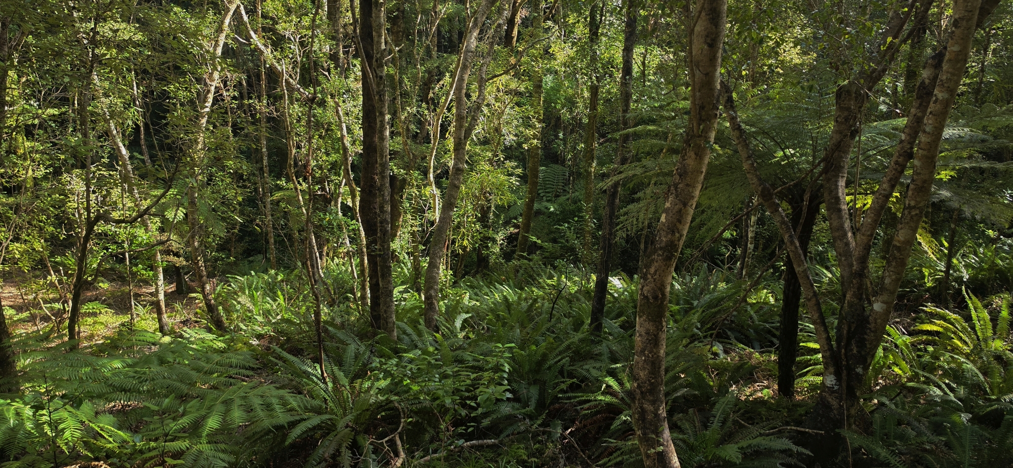
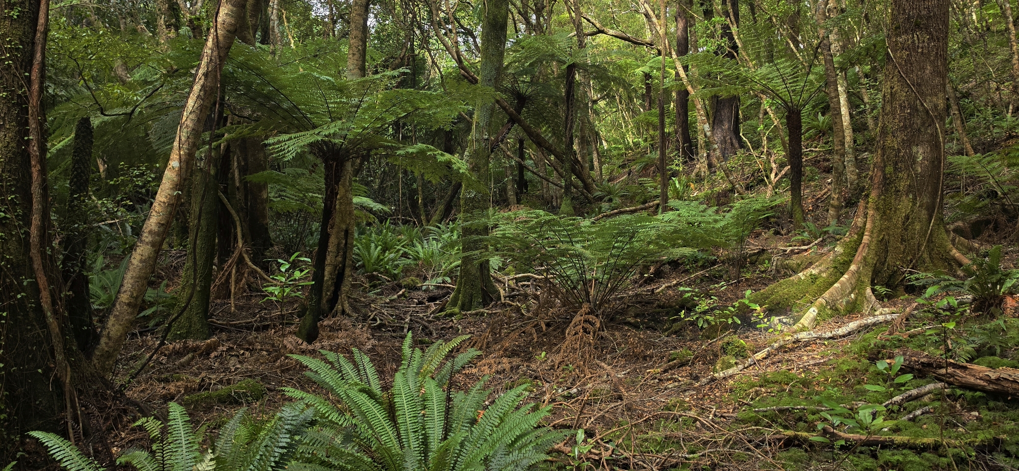
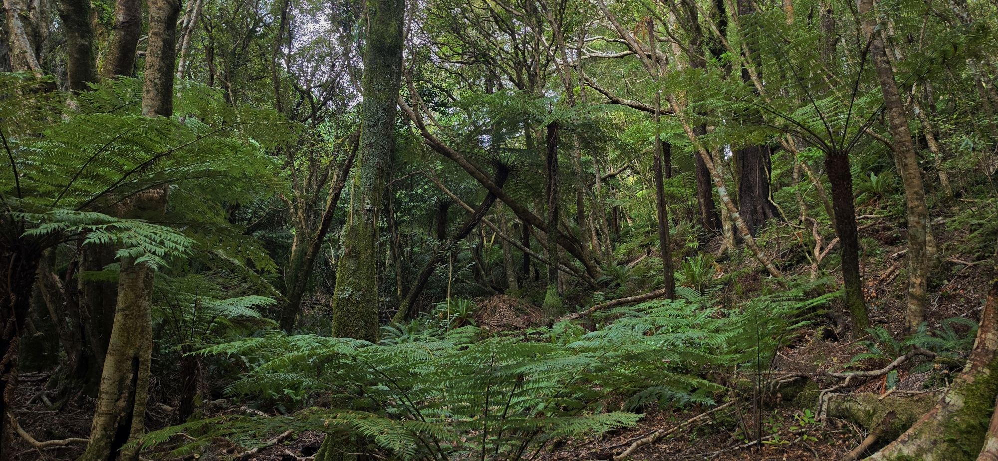
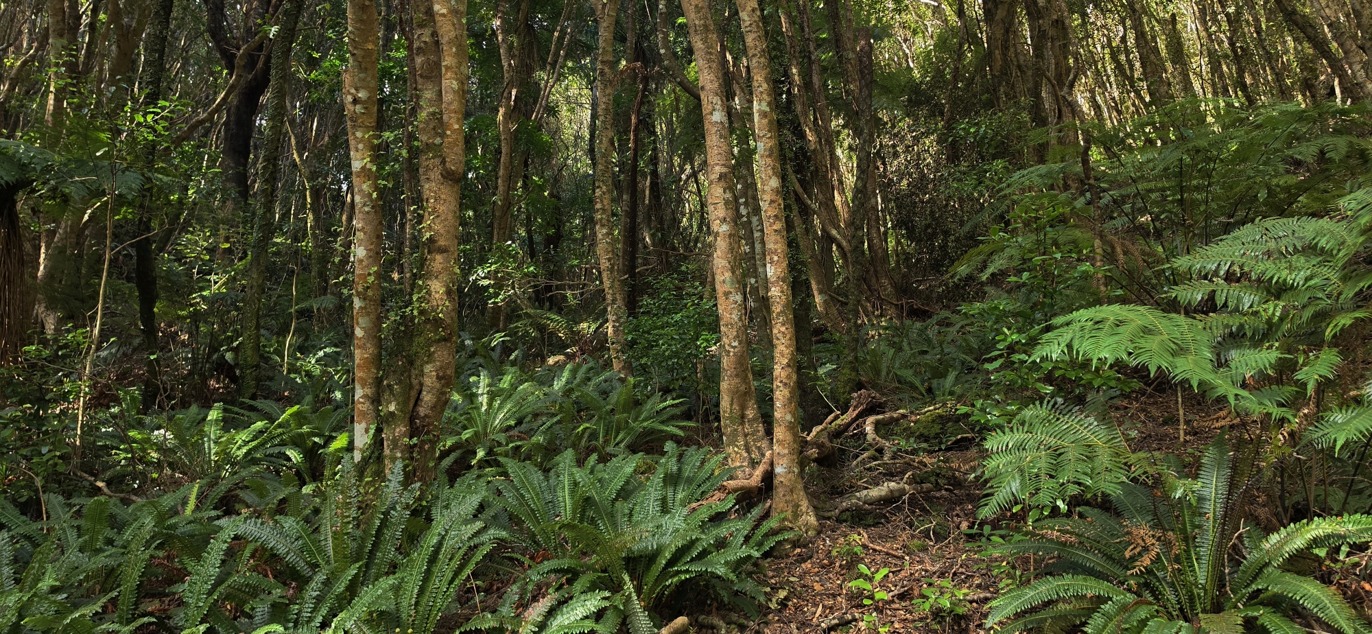
The descent was steep enough to demand some care, although there were plenty of trees, roots and branches to grab as we worked our way down. Supplejack was everywhere, looping between trees and across our route, so we zigzagged where possible to avoid the worst of it.
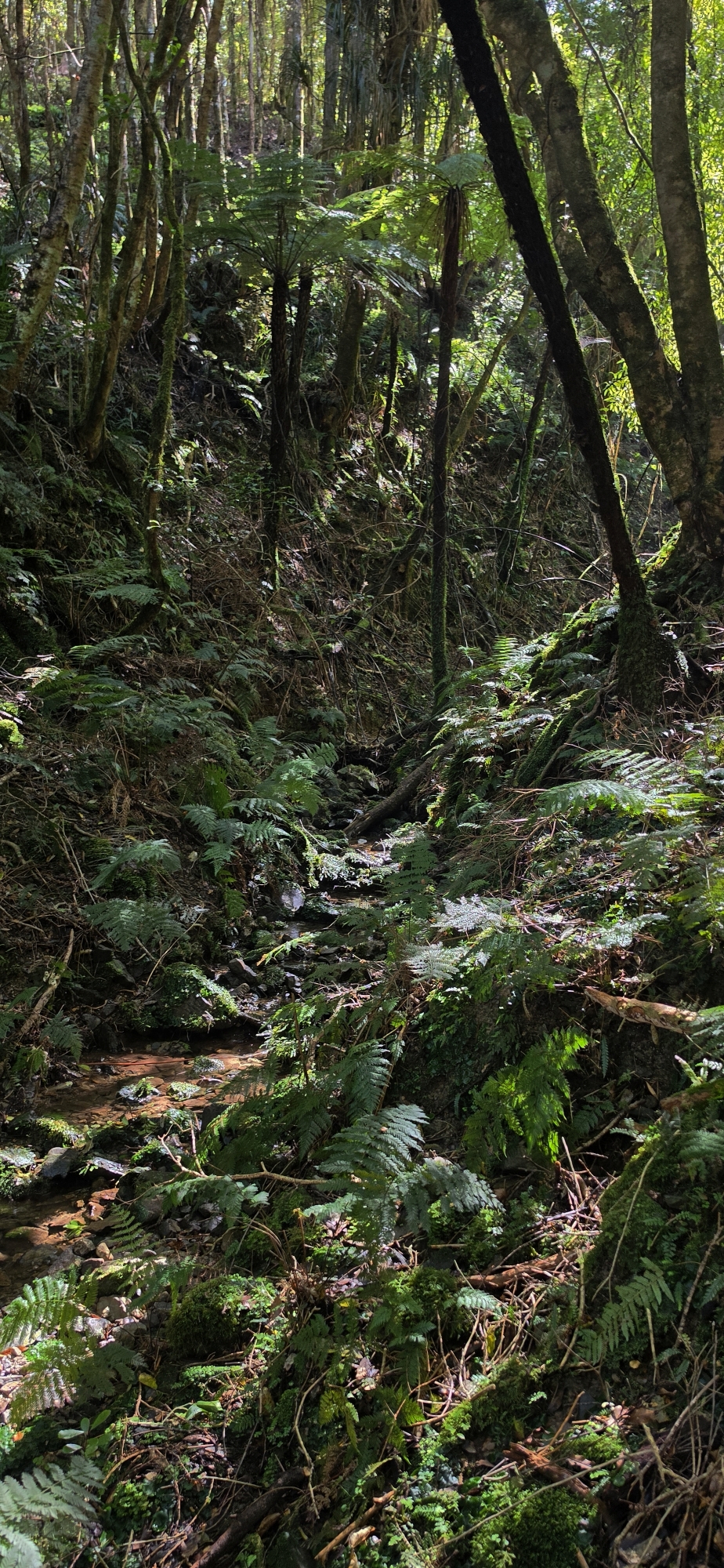
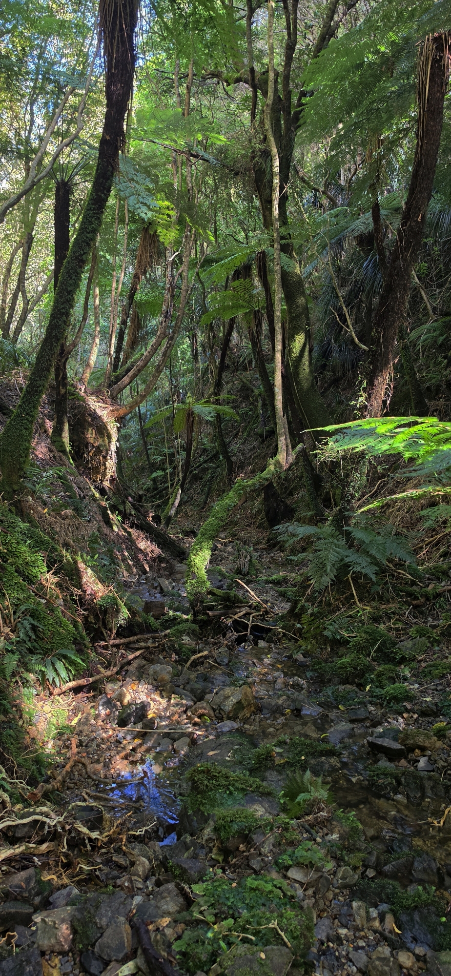
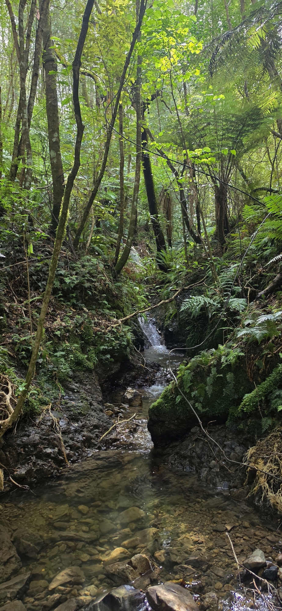
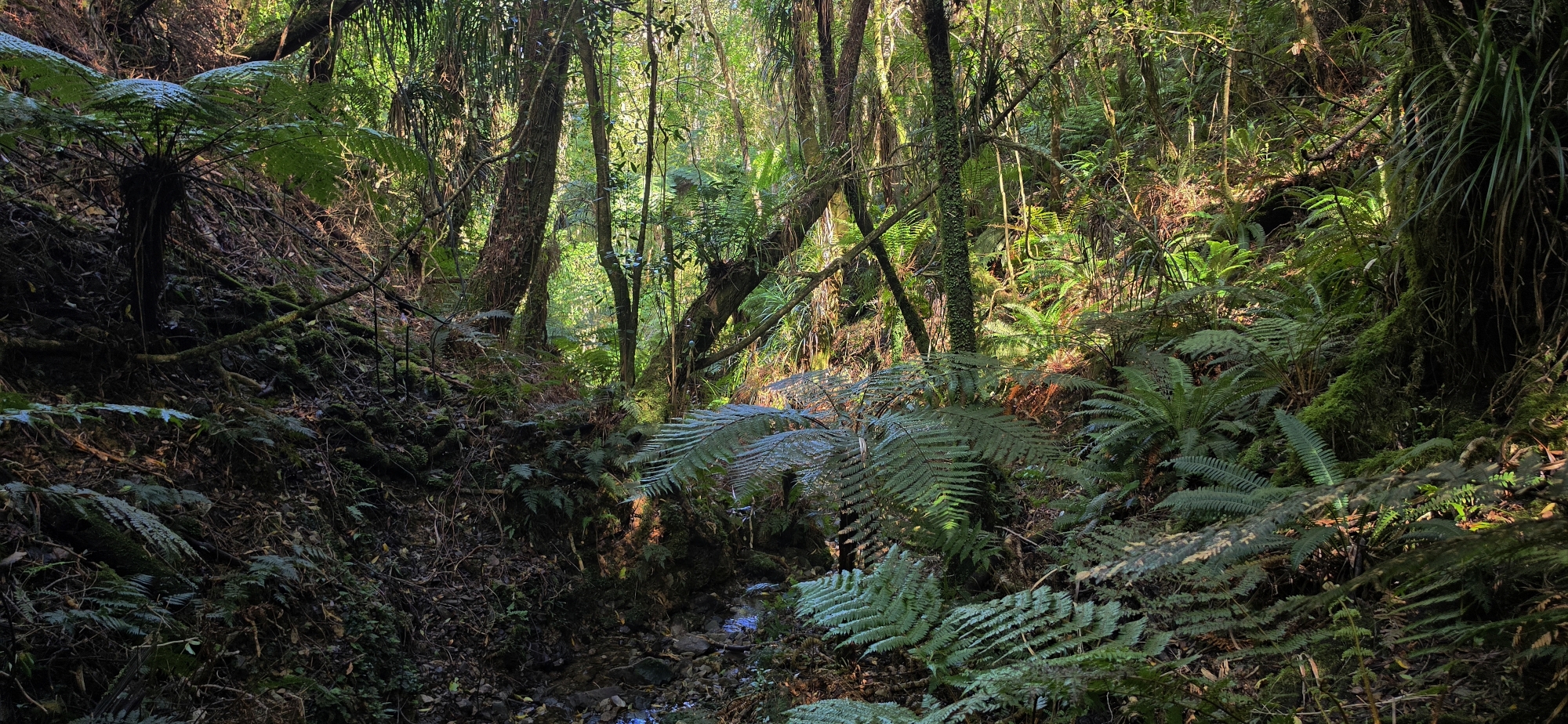
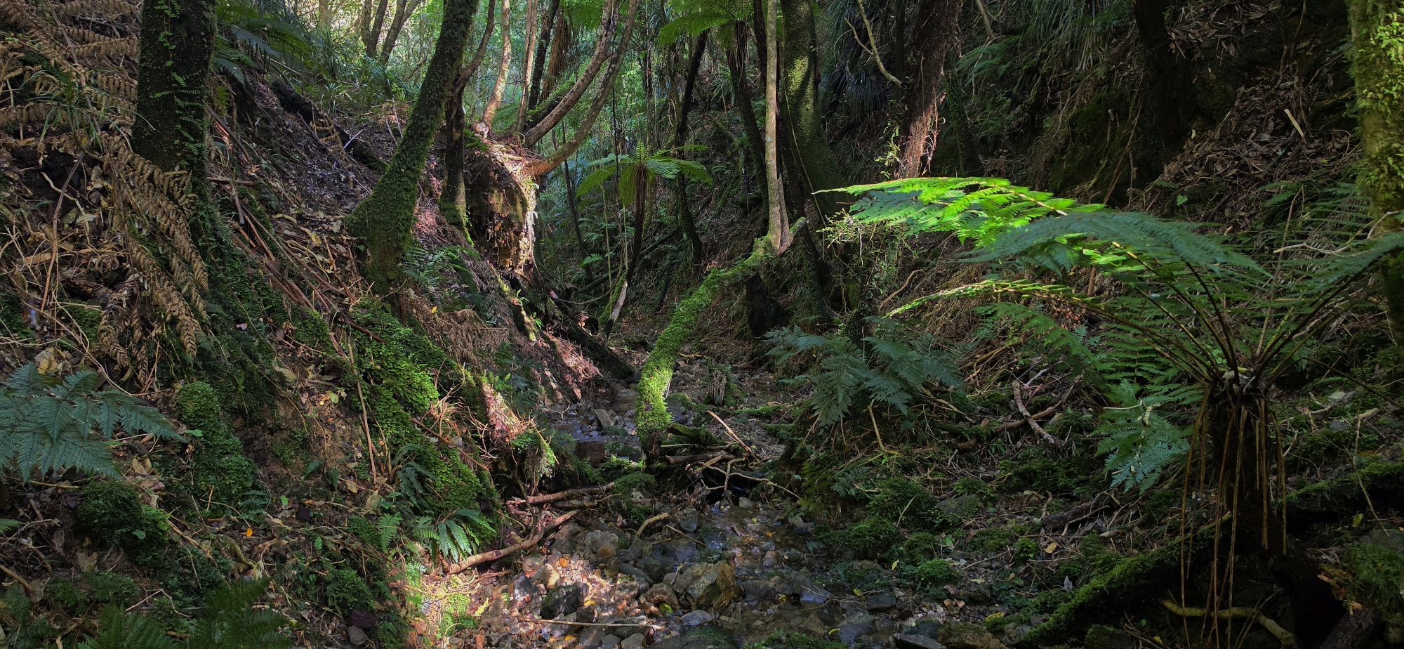
Once down in the gully, things became tighter, damper and slightly darker.
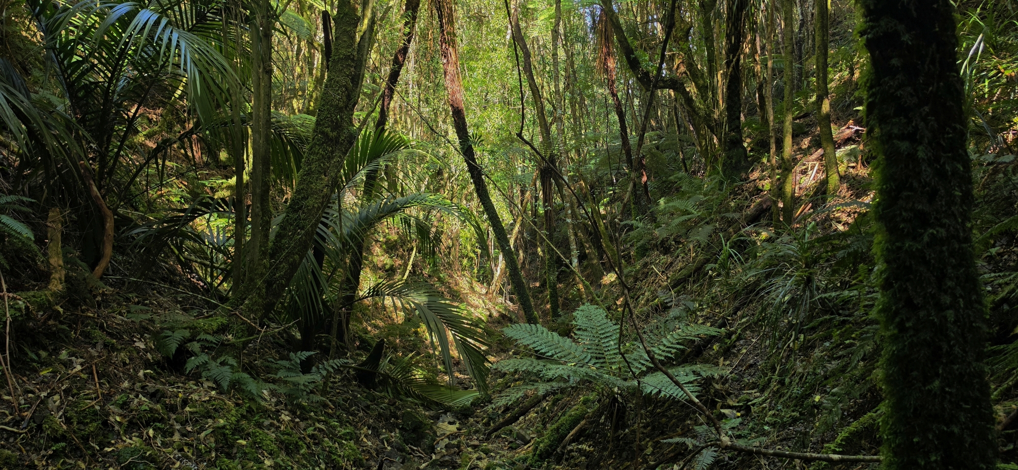
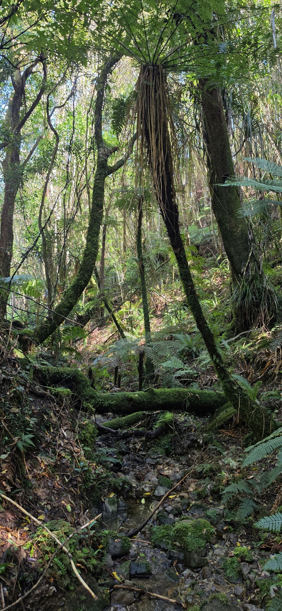
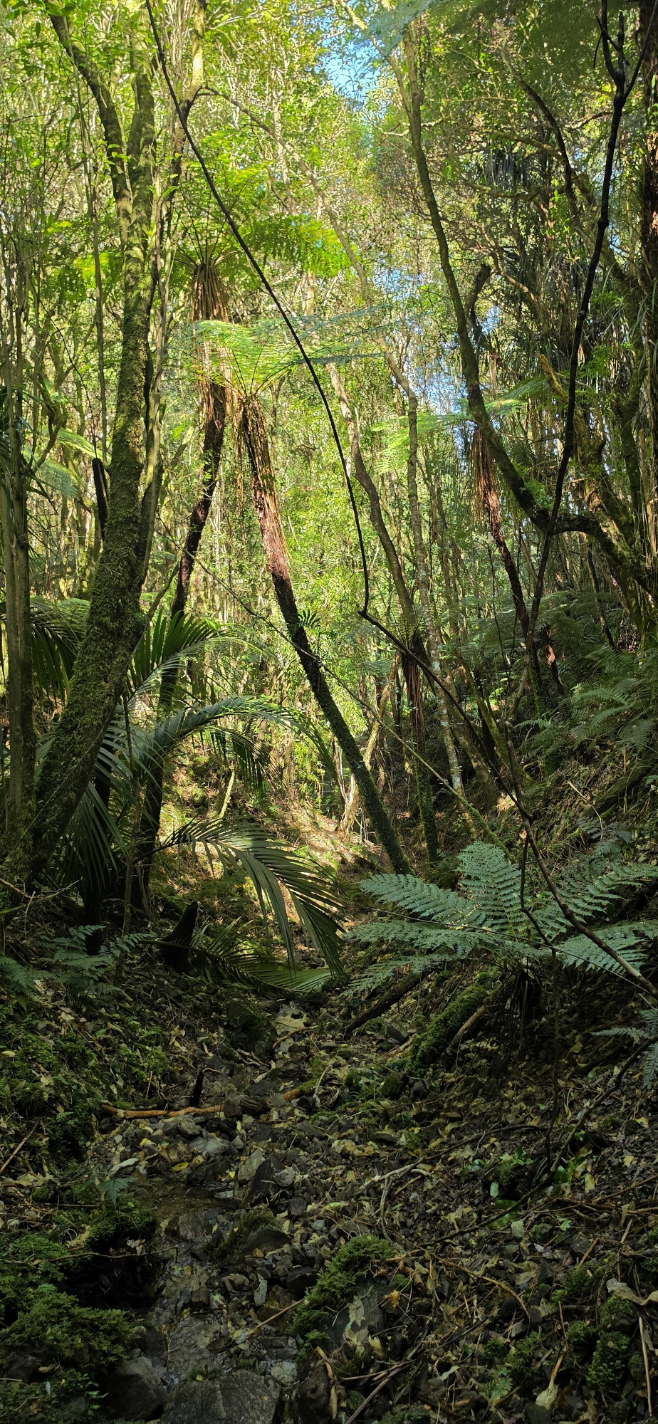
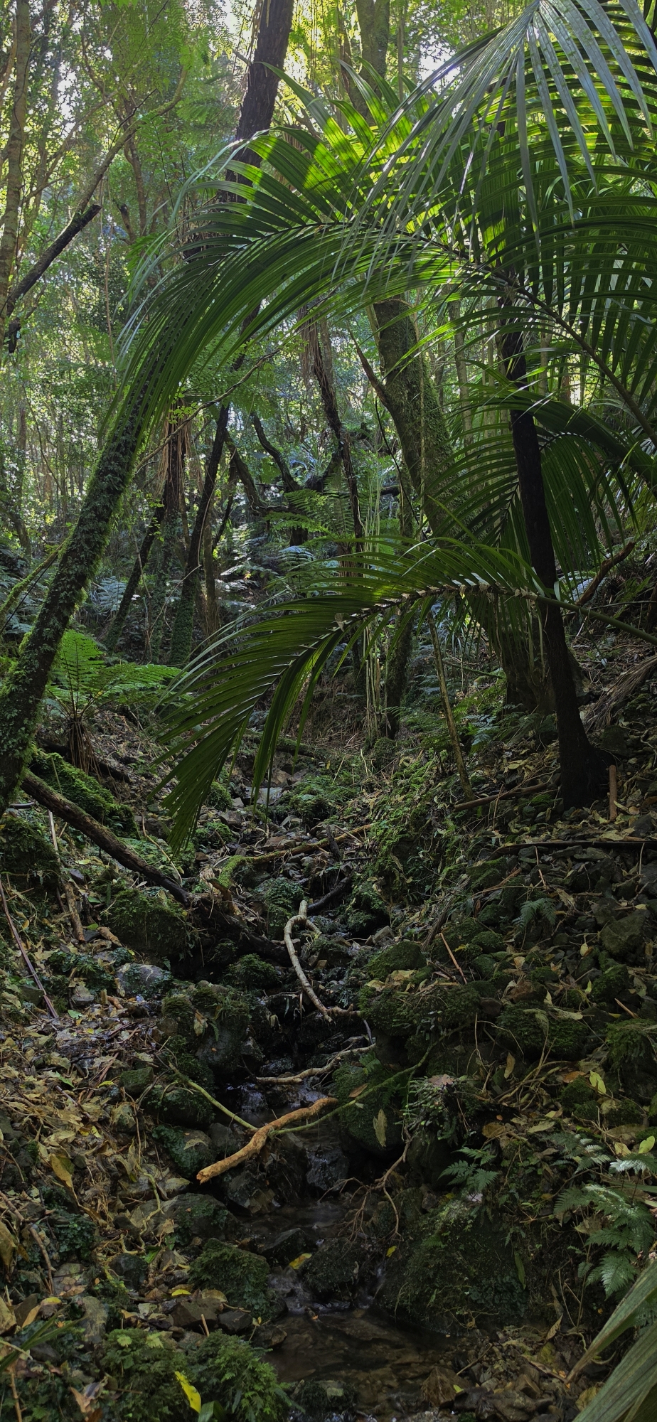
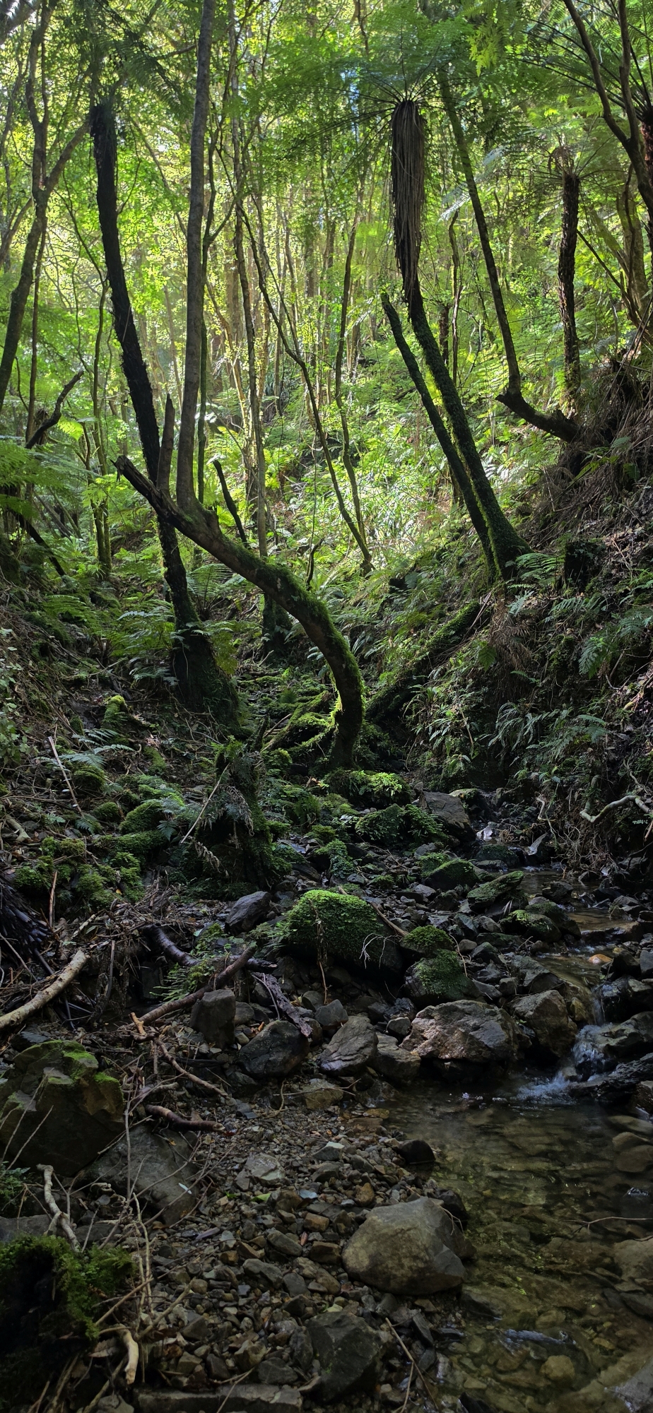
Eventually a creek began to form. Fallen trees blocked the creek bed in places, supplejack tangled through the undergrowth, and progress became slower. At times it was easier to climb partway up the western flank and sidle above the worst of it, dropping back towards the creek whenever the bush opened up.
All the while, we were looking for some sign of the old winze and its spoil.
A winze is essentially a vertical or steeply inclined mining shaft, and I had been told that there was a shaft behind Lees Grove somewhere that has a mound of excavated spoil beside it.
But there was no obvious sign of either.
We continued following the unnamed creek downhill until it eventually merged with another, larger creek. At the time, I assumed this was Gollans Stream.
It wasn’t.
Some research after the trip revealed that both creeks were actually part of a western branch of Gollans Stream. That discovery meant I had to come back and rewrite this part of the story, but it also gave us a much clearer understanding of the terrain.
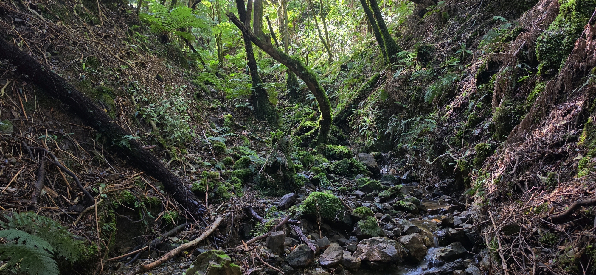
Believing at the time that we had reached Gollans Stream, the original plan was to turn upstream and follow it back towards the Rātā Ridge Track, near where its headwaters began.
However, we had reached the junction sooner than expected, so we changed plans and continued southward down the new and larger creek.
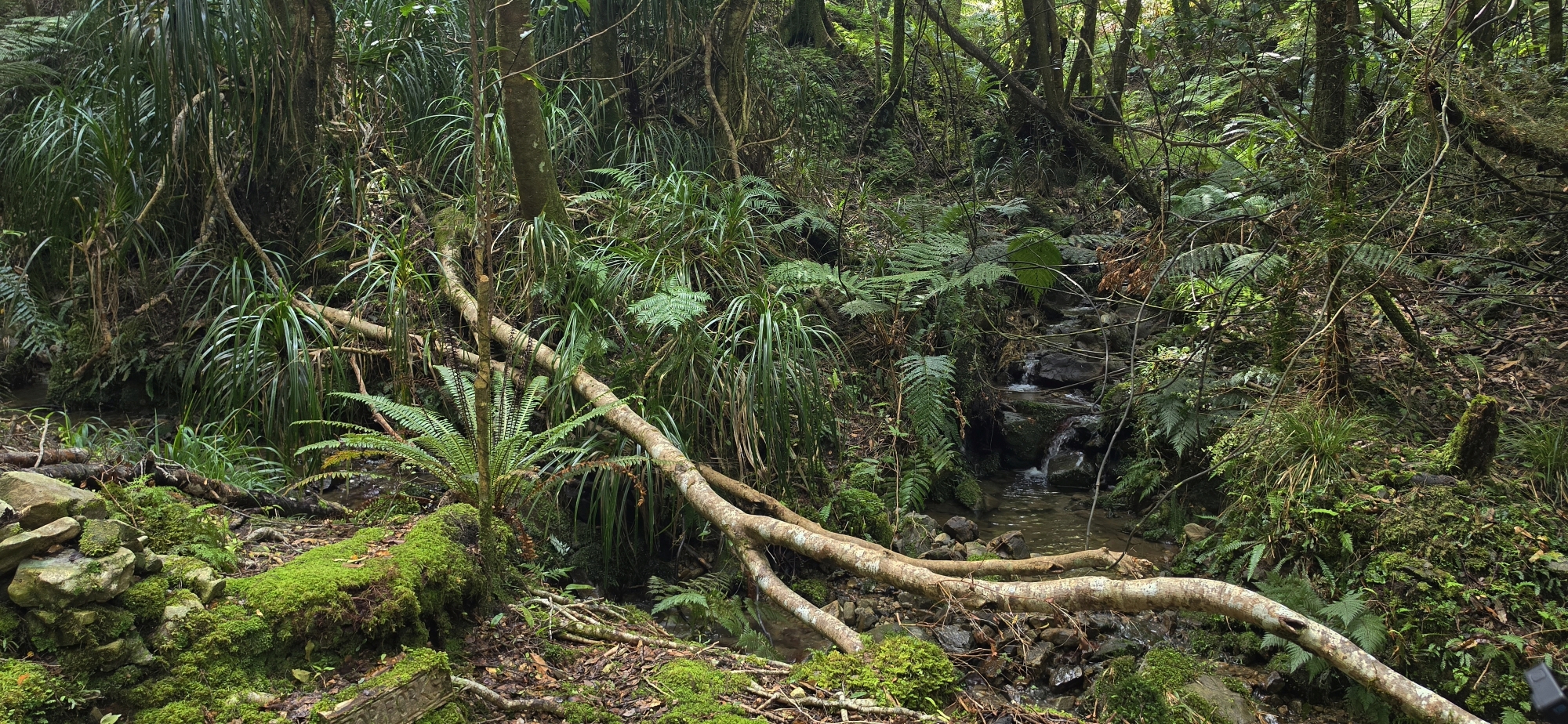
The flow had now roughly doubled in volume, and before long we reached another junction where a stream entered from the west, from the direction of Days Bay.
Then we found something unexpected.
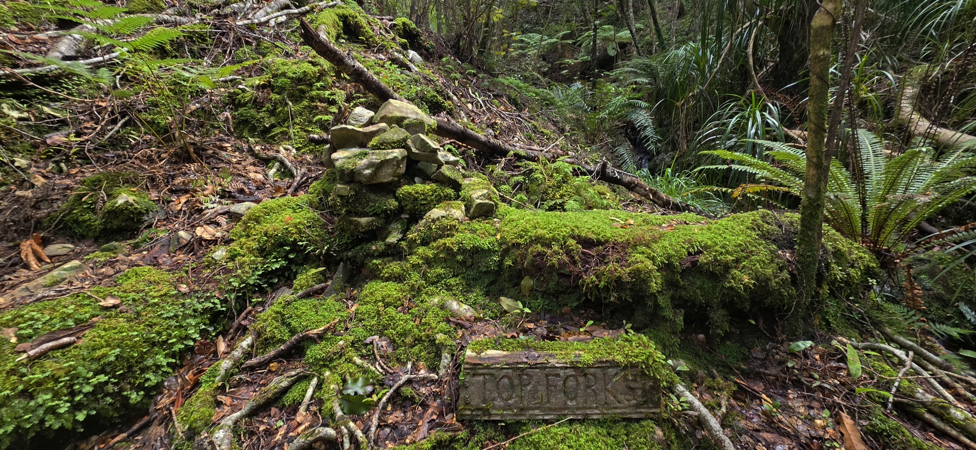
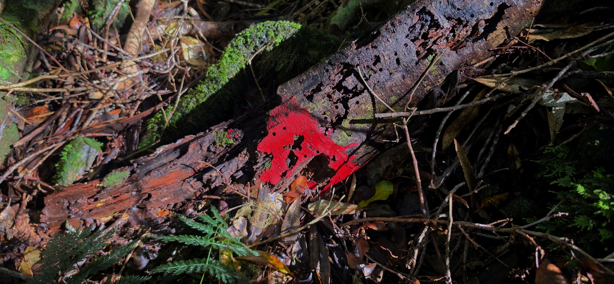
Carved into wood or stone were the words:
“Top Forks”
It was an odd thing to find so deep in the bush.
Technically, it wasn’t even the uppermost fork, because the unnamed creek we had followed joined the stream further upstream. However, the name likely was given from the perspective of someone travelling up the creek from Days Bay or nearby.
Regardless, whoever carved those words must have known the area reasonably well. It was strange to imagine someone coming back to this remote junction often enough for it to acquire a name.
It certainly felt like the middle of nowhere.
We kept pushing downstream until the vegetation became increasingly dense and difficult. Rather than forcing our way directly through it, we climbed onto the eastern side of the valley, where we found a flatter terrace or plateau and followed it south for a short distance.
By then it was becoming obvious that continuing much further could turn the trip into a bigger expedition than we had planned.
So we turned for home.
There were two obvious choices. We could retrace our route back up the creek and then climb towards Rātā Ridge, covering the section at the head we had not yet explored due to coming down from a different branch. Or we could head directly up the eastern ridge instead.
We chose the eastern ridge.
Partly because it looked more interesting, and partly because I dislike retracing ground I have just covered despite then taking us to the branch we had not explored yet.
The climb was a grind.
We steadily fought our way upwards through the bush, gaining altitude metre by metre until we eventually reached the ridge. From there we followed it for some distance before it frustratingly began dropping again.
Fortunately, we didn’t lose all the altitude we had worked so hard to gain. Before long, the ridge began climbing once more.
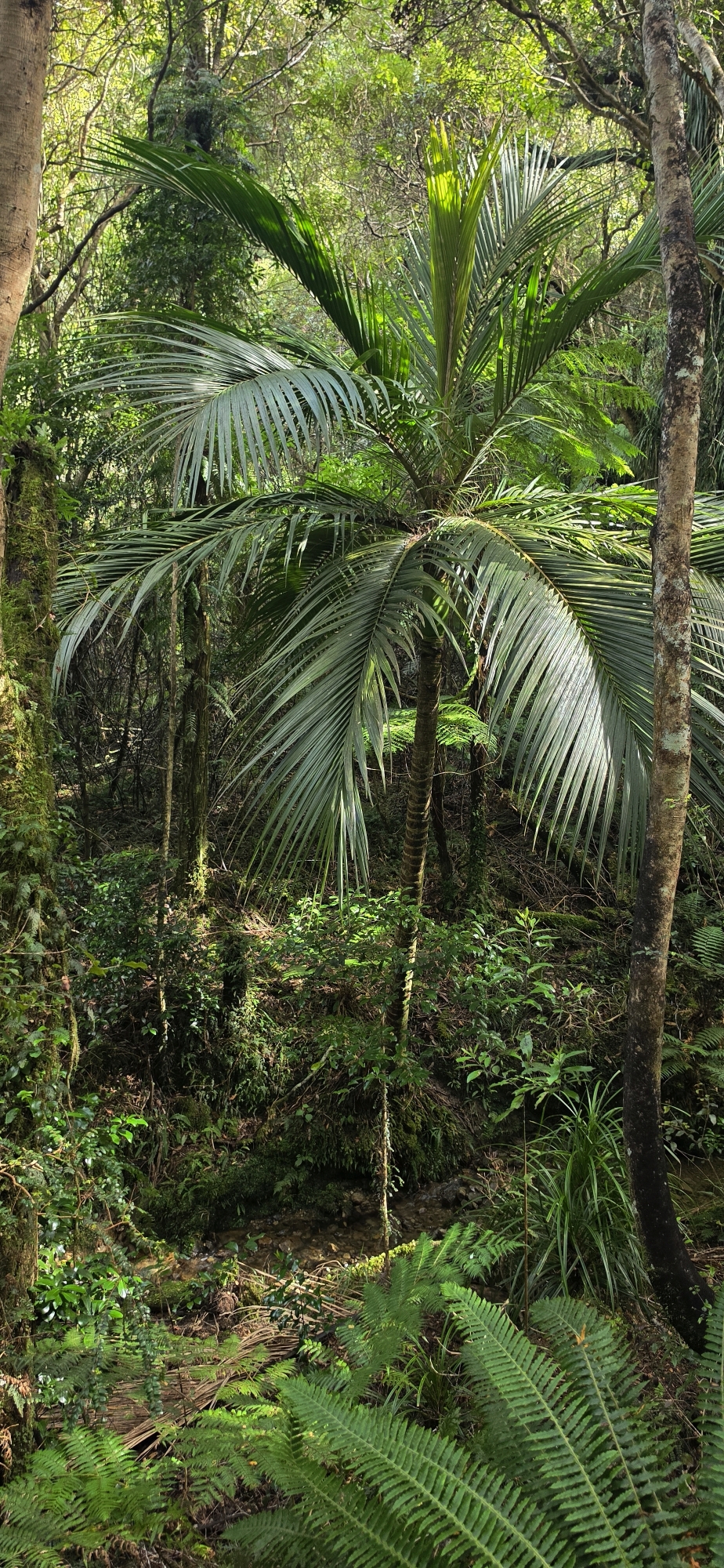
The surrounding ridges, including the one we were following, were all surprisingly high, and I imagine from their tops, they offer impressive views over the valleys below. Unfortunately, the bush was simply too thick to get a decent photograph from anywhere.
Eventually, our ridge merged with the Rātā Ridge Track.
From there it was straightforward travelling back to the Lees Grove Track and finally out to the car.
It had been a decent day’s exploration, and the sore legs afterwards confirmed that.
More importantly, it gave us a much better understanding of the country.
Research Tony carried out after the trip showed that the ridge we had climbed was the ridge separating the two western branches of Gollans Stream from the main Gollans Stream gully itself.
That changed our understanding of the entire route we had completed.
With this new information, we can now return and attempt the original mission properly: follow the other western branch downstream until it meets Gollans Stream, then follow Gollans Stream back upstream back towards the ridge.
Having already walked the full length of the extreme western branch, we could now rule that stream out and confirm there was no visible evidence of historic gold prospecting along it.
So for now, the elusive winze remains exactly that: elusive.
No shaft, no spoil heap, and sadly, no gold bars to compensate us for all the mud, supplejack and sore legs.
Never mind.
There’s always next week.