Retracing the Route of a Historic Search for Gold-Bearing Reefs
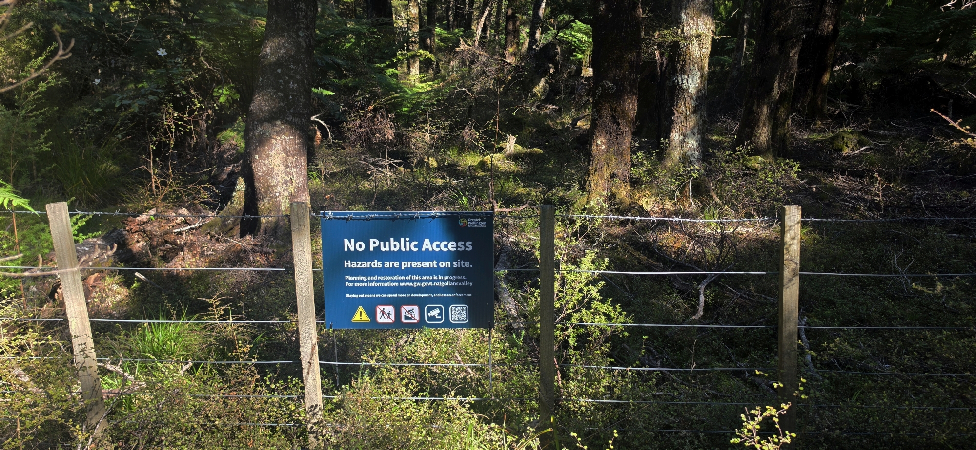
The plan today was to retrace the route to a gold-bearing reef somewhere in Gollans Valley.
Back in 1901, a man named Henry Savage guided a small group to what was described as the Gollans Valley reef, an expedition recorded in an old newspaper article from 1901. On a high peak in the valley, the group examined an old winze that Savage had previously discovered, which had been sunk about 10 feet into the ground. They also talked of other reefs onroute.
The newspaper’s description of their journey provided enough information for myself and some friends to attempt to follow the same route, although there were gaps that required a fair amount of guesswork.
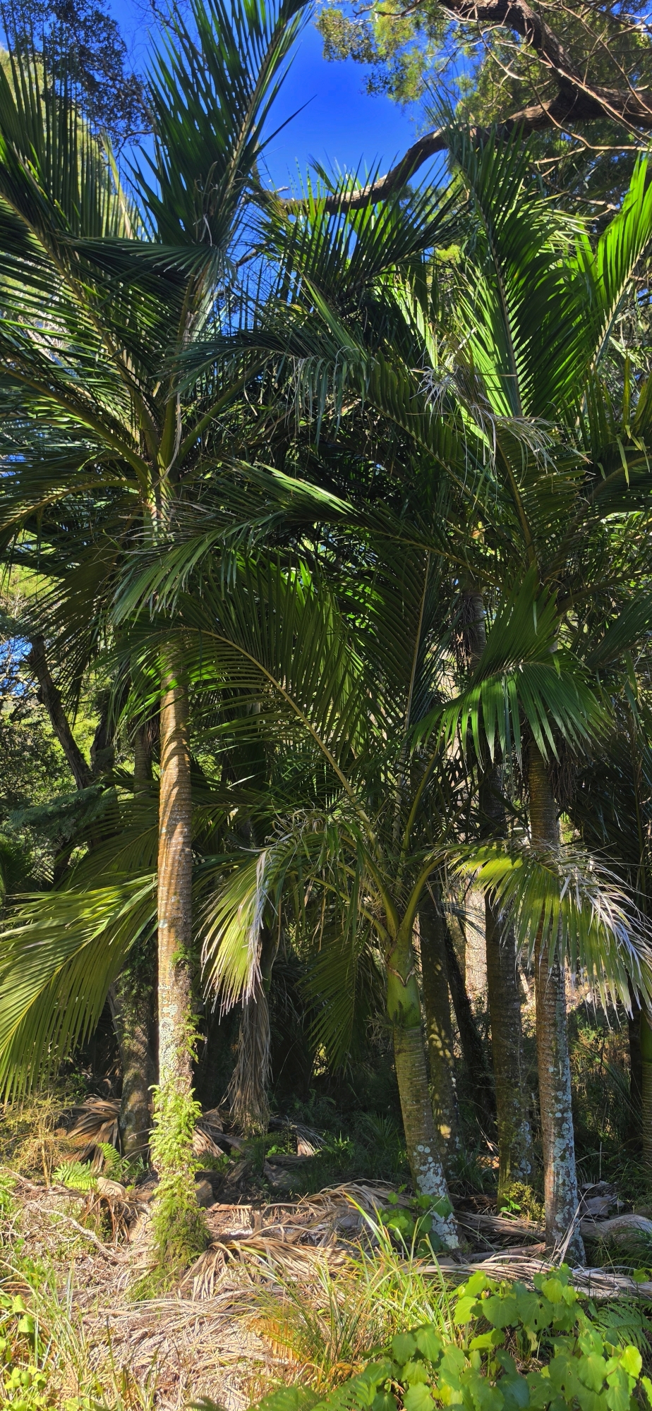
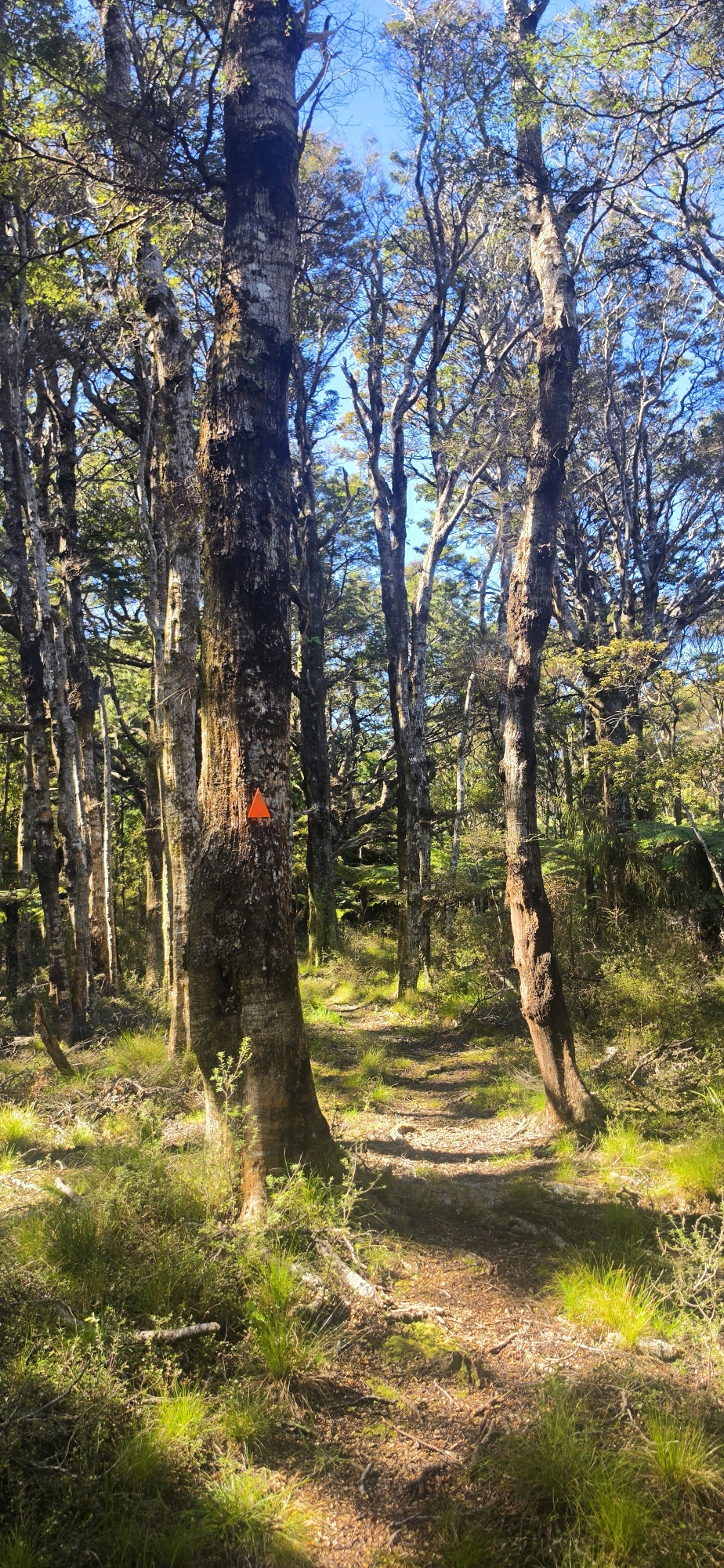
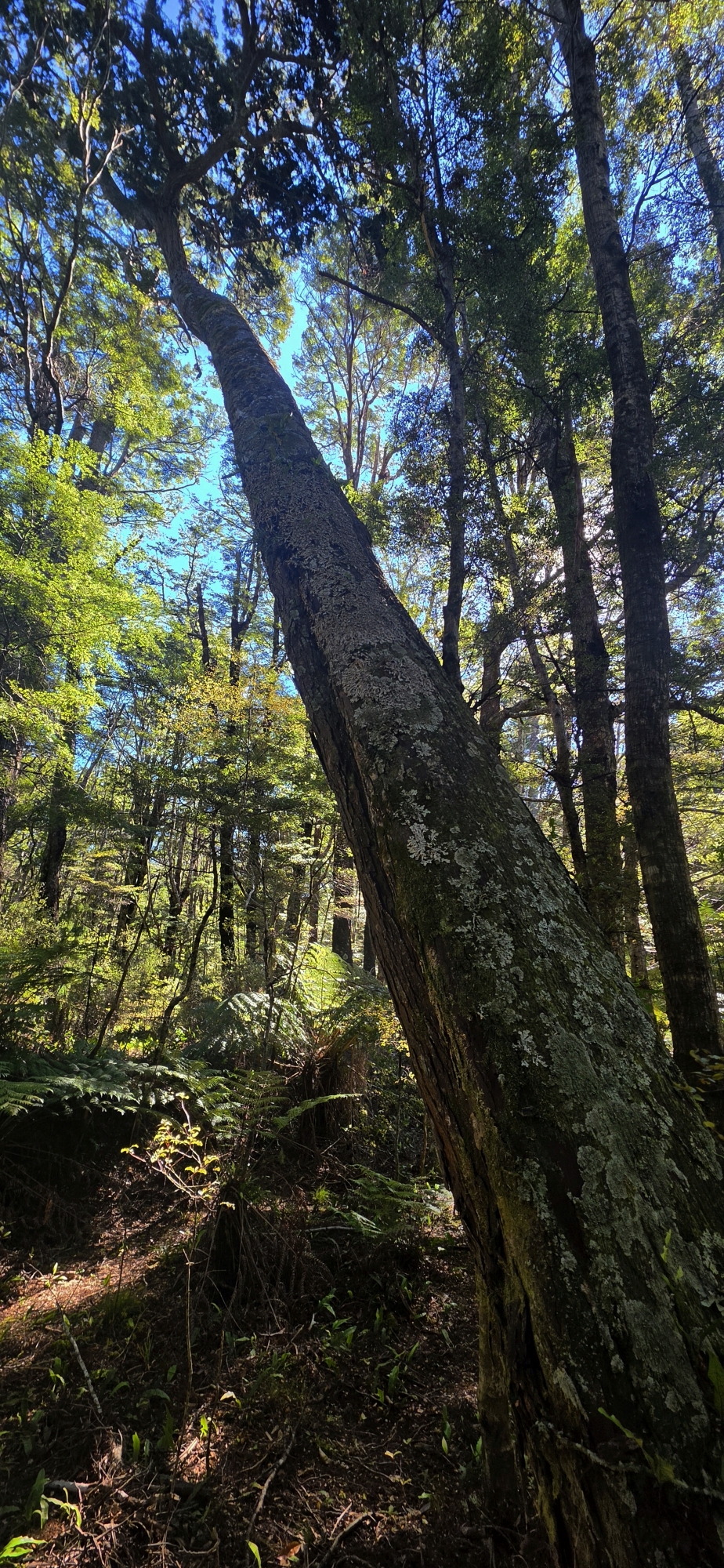
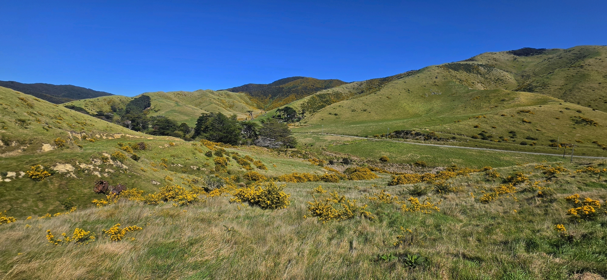
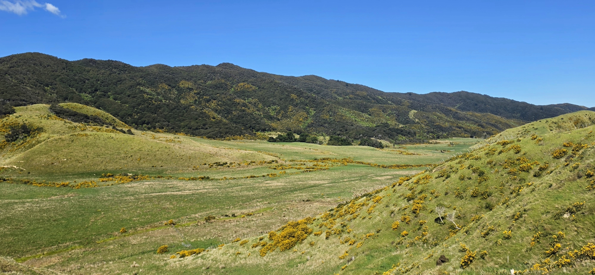
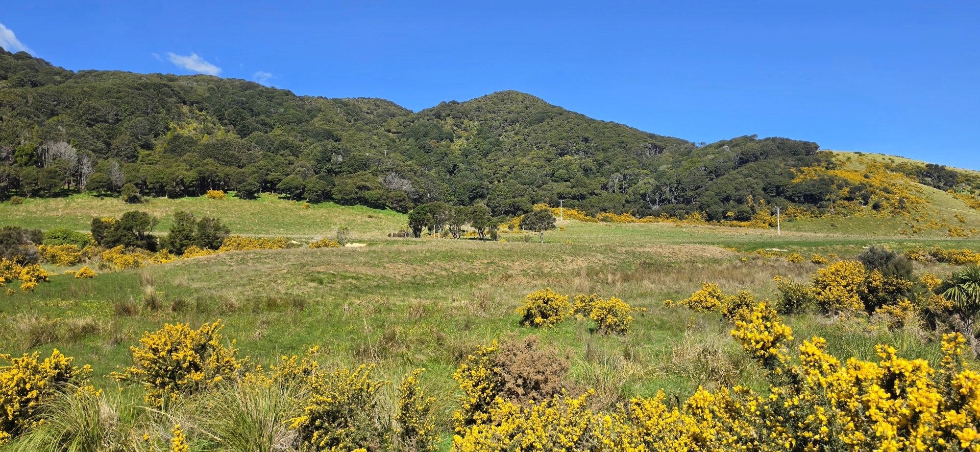
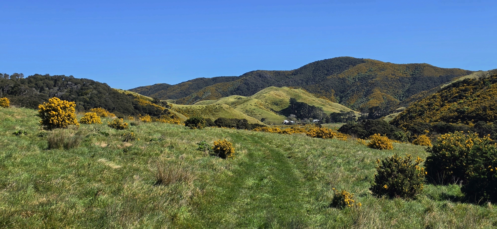
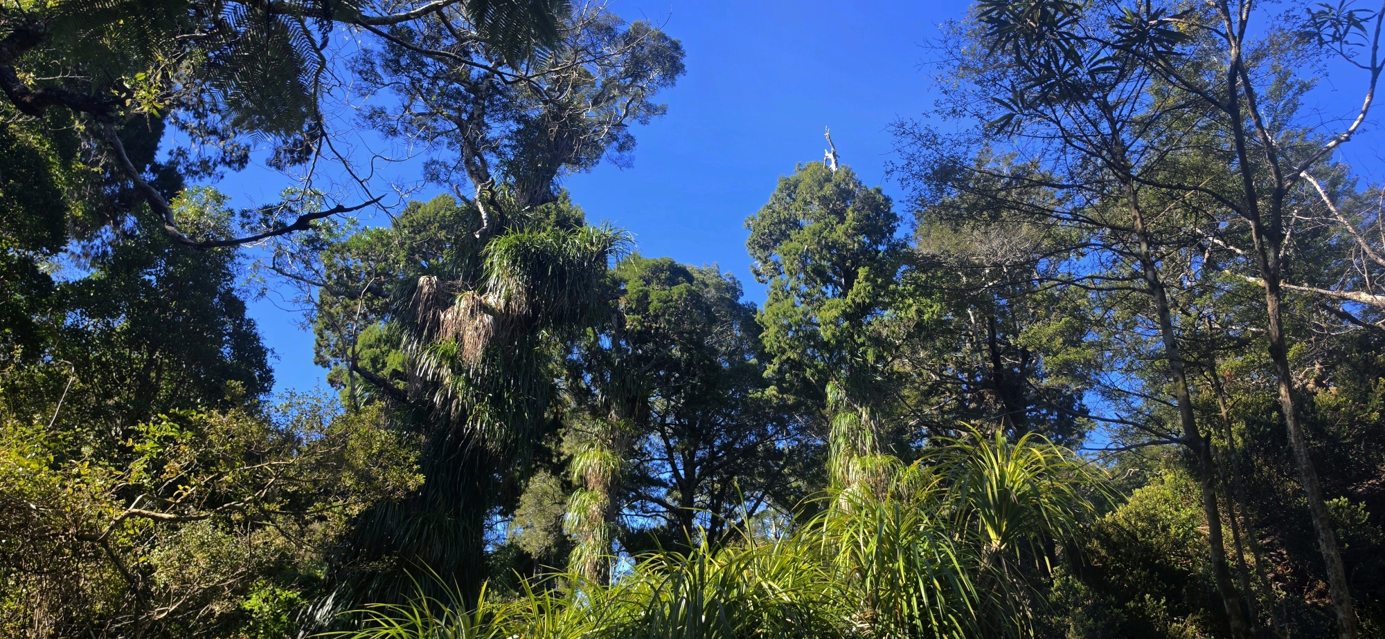
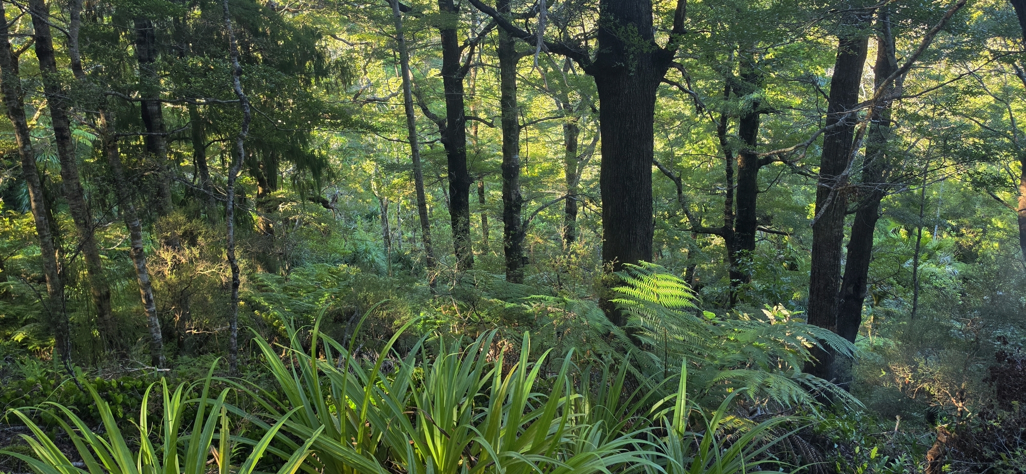
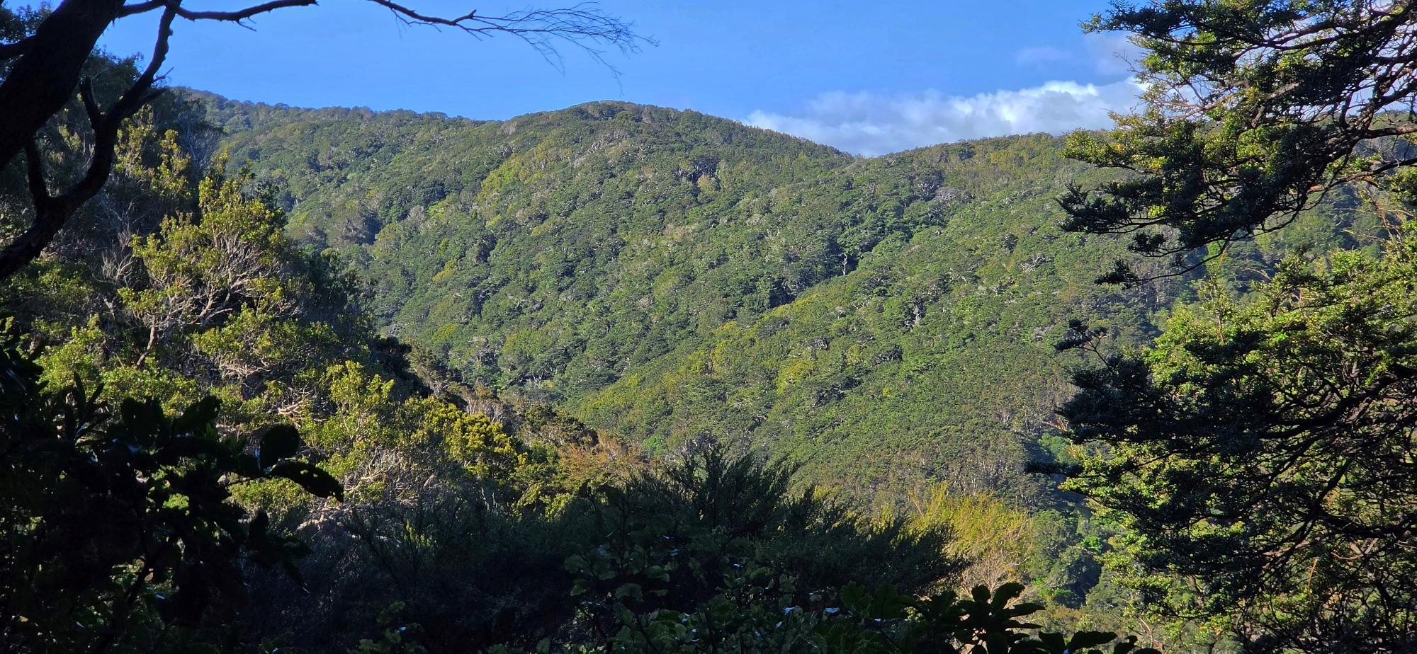
We started near Burdan’s Gate and made our way towards Gollans Valley. Once we had gained enough height to look across the valley, a broad expanse of farmland stretched out below us, while ahead rose the forested slopes of the eastern range. Coast Road lies beyond this ridge and was hidden from view. To the north stretched the extensive Northern Forest, dominated by broadleaf forest with smaller podocarps scattered throughout.
We followed the old description as closely as we could, searching for anything that might resemble a reef or winze, but found nothing obvious. There was no hole, excavation, exposed reef, or gold bar to speak of.
That was hardly surprising. Around 125 years have passed since Savage led the original party into the valley, and the landscape has undoubtedly changed. Vegetation has grown, slips and erosion may have altered the slopes, and an old 10-foot-deep winze could now be completely obscured.
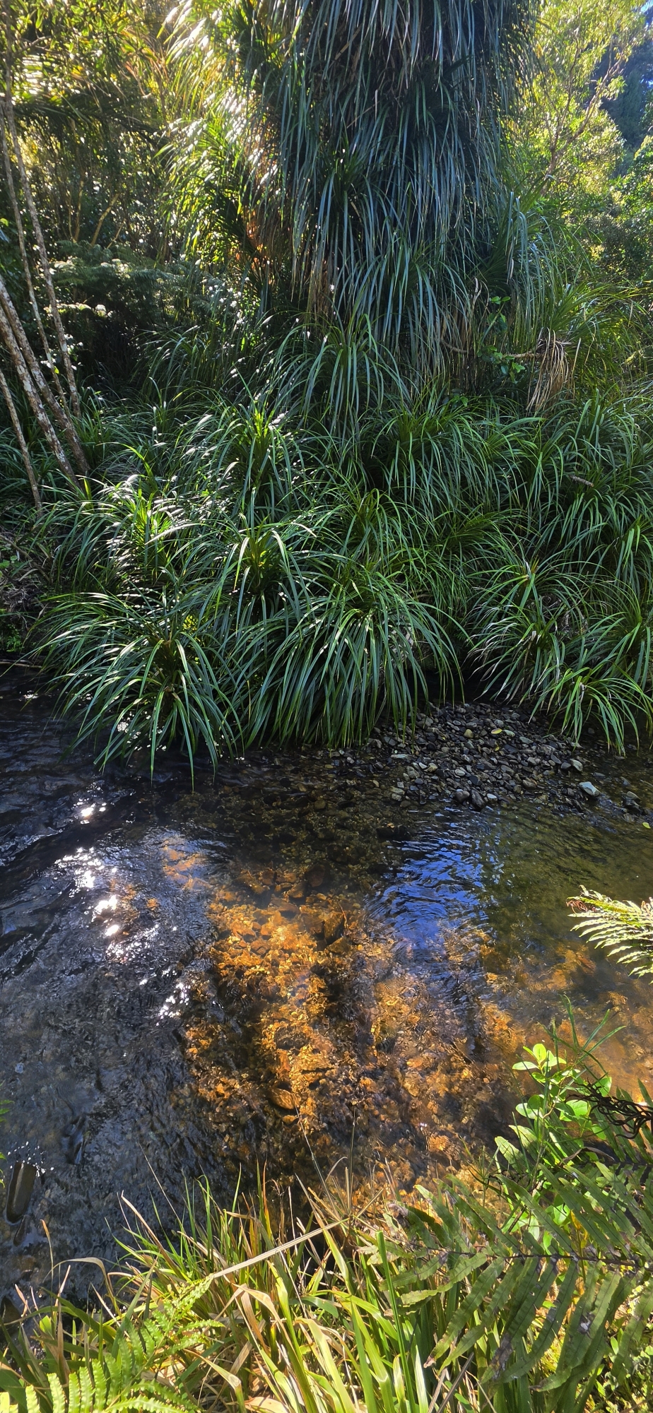
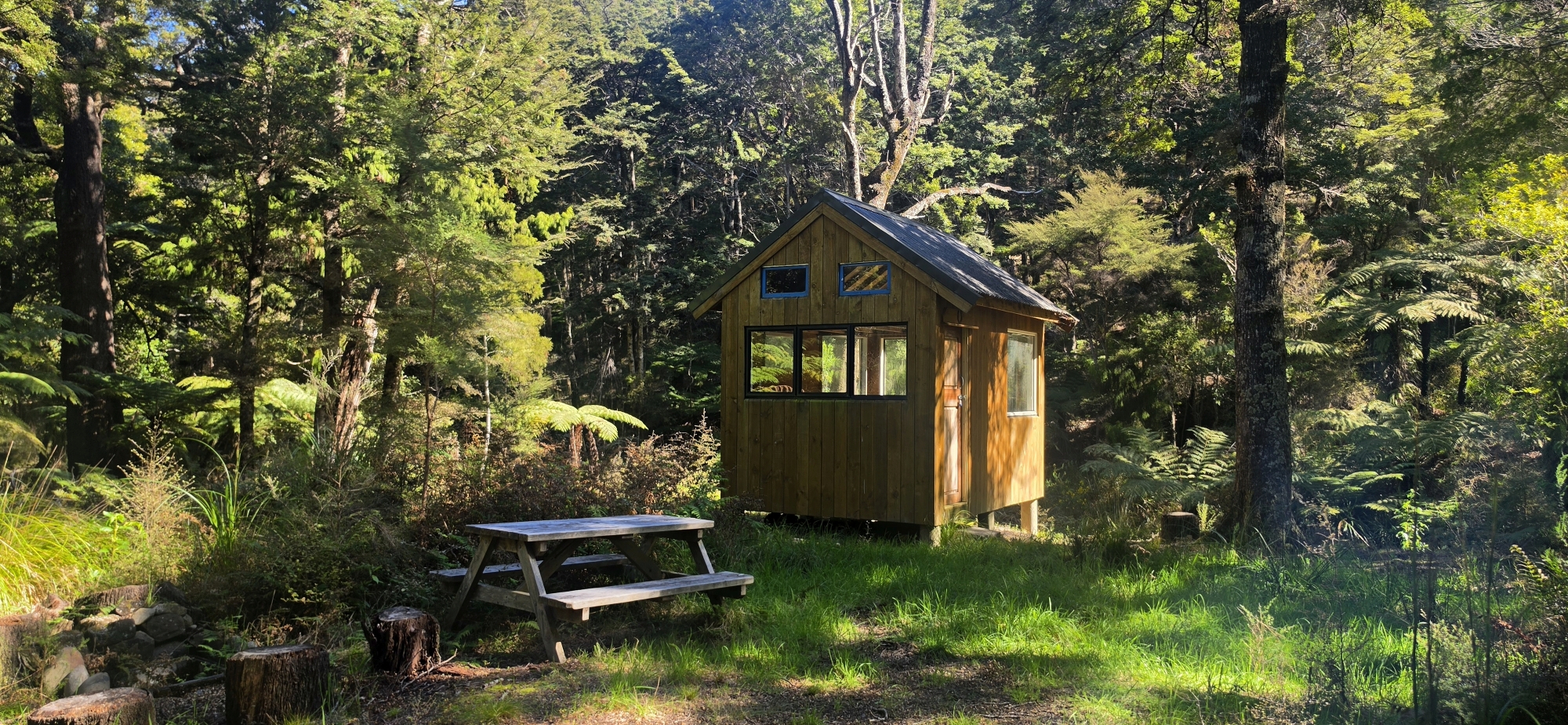
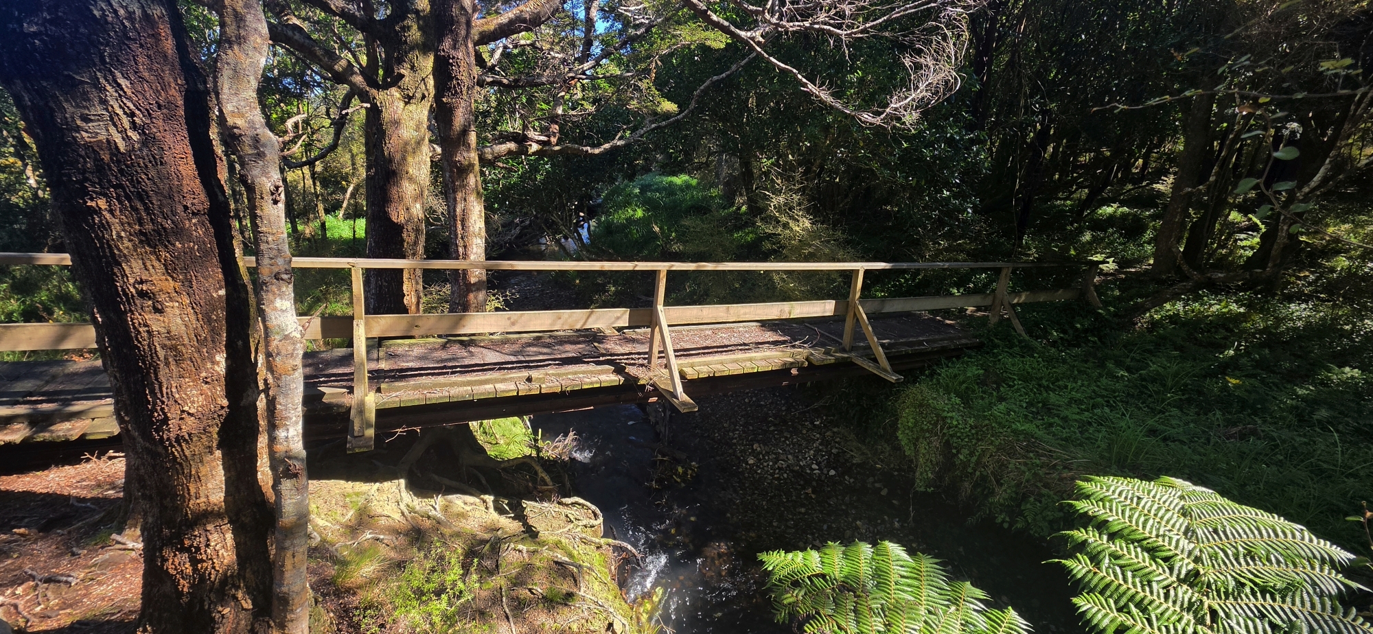
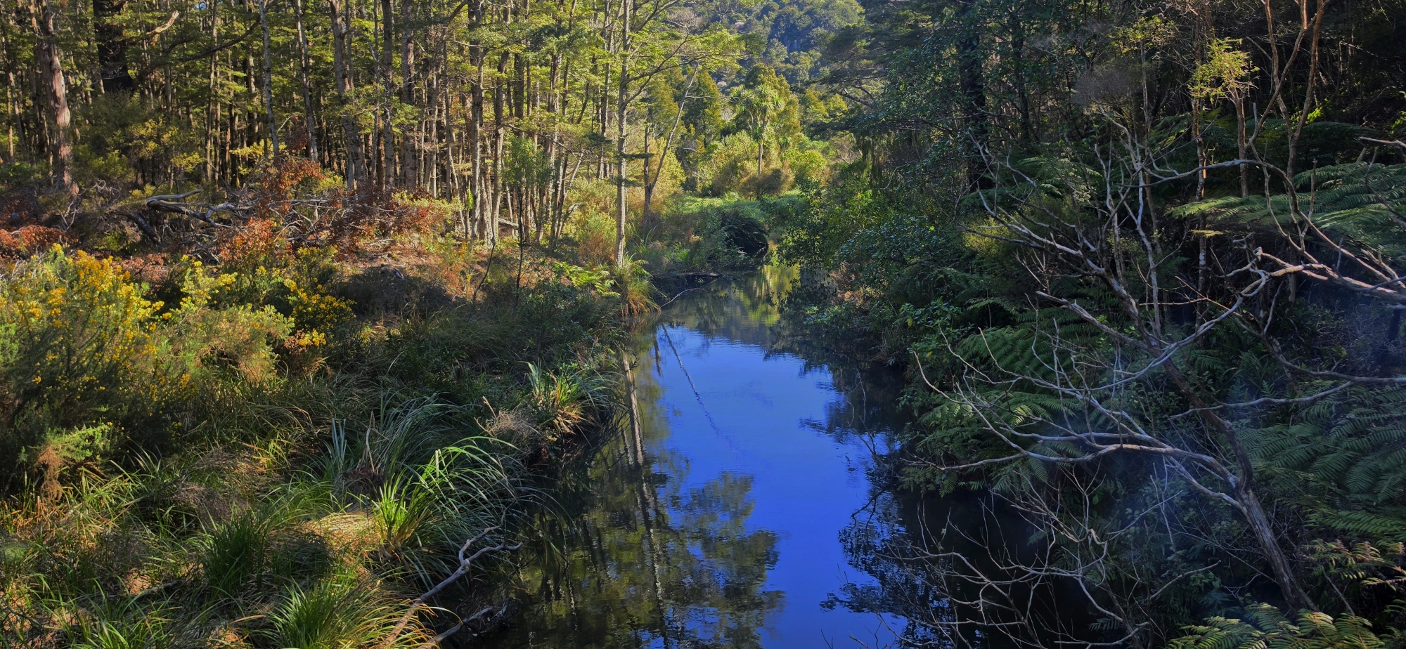
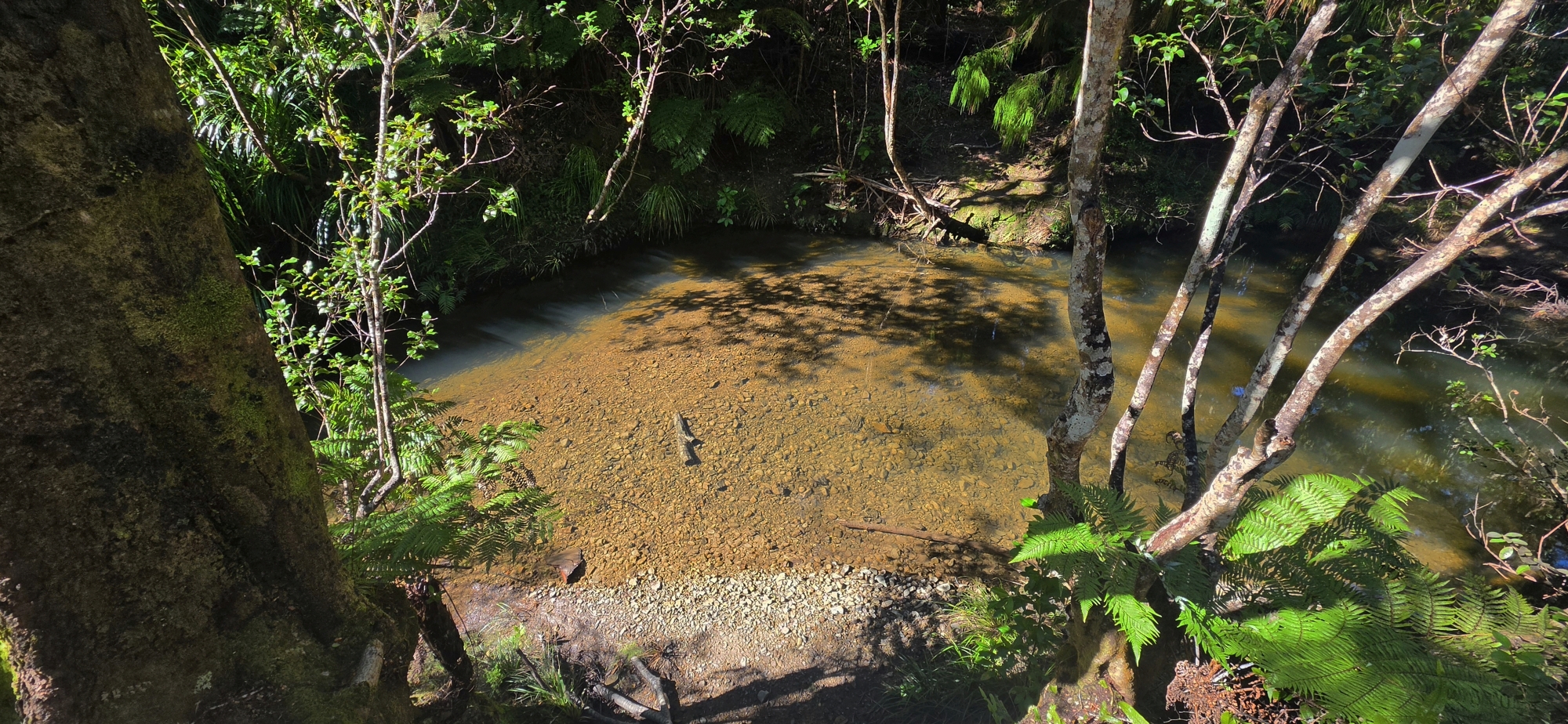
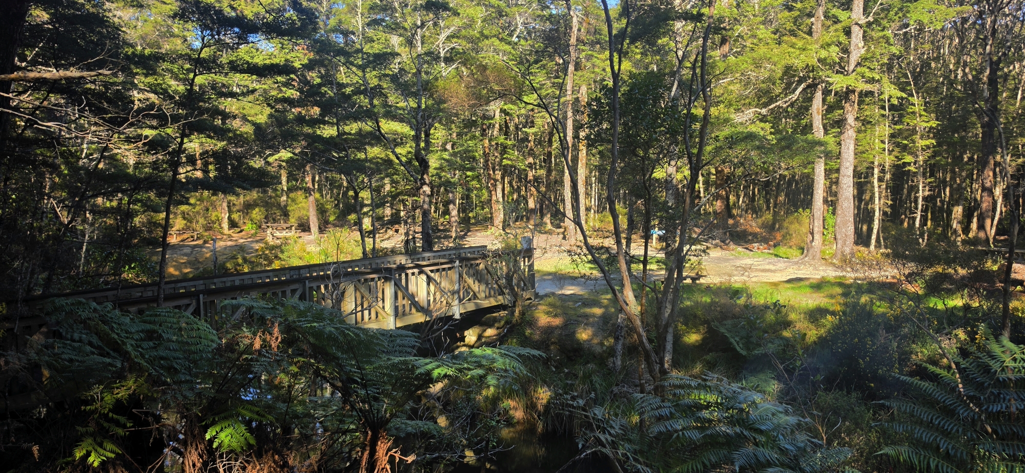
Finding nothing did not deter us, so we continued upstream along Gollans Stream. Eventually we found a track that led to a small hut next to Gollans Stream and a bridge near the junction with Butterfly Creek, where there is a track and a campsite.
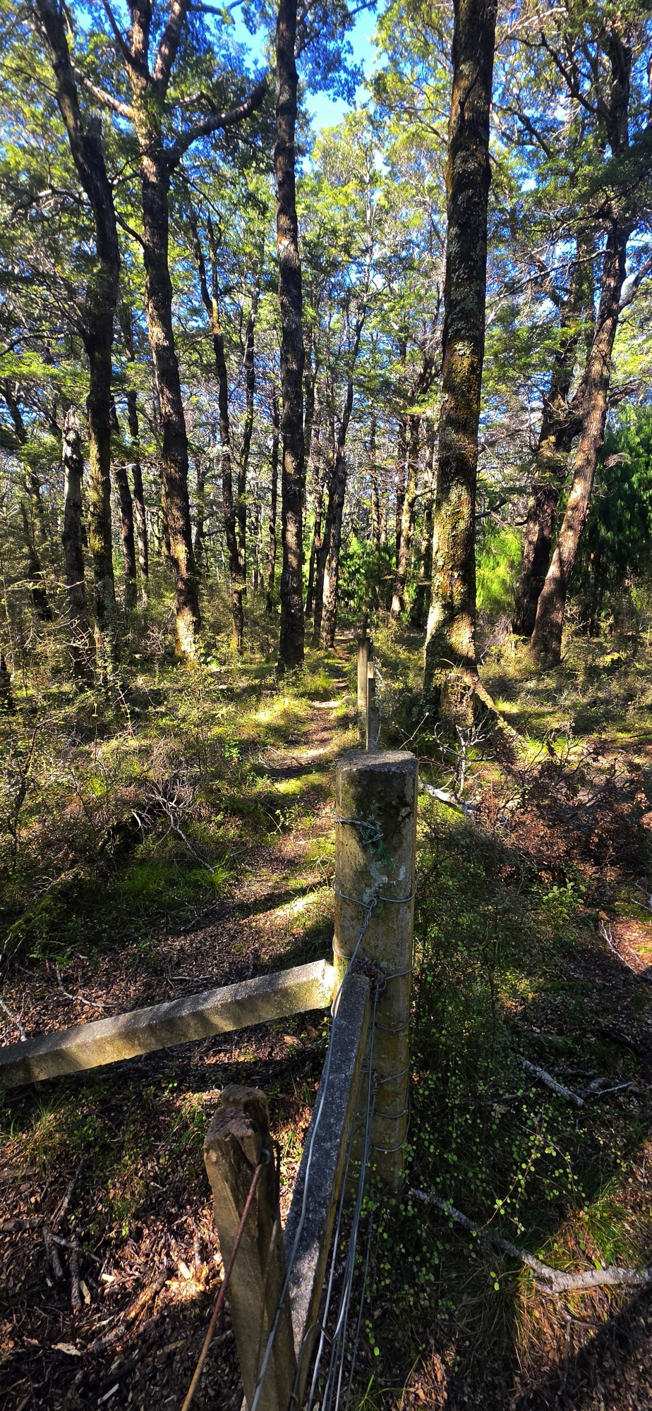
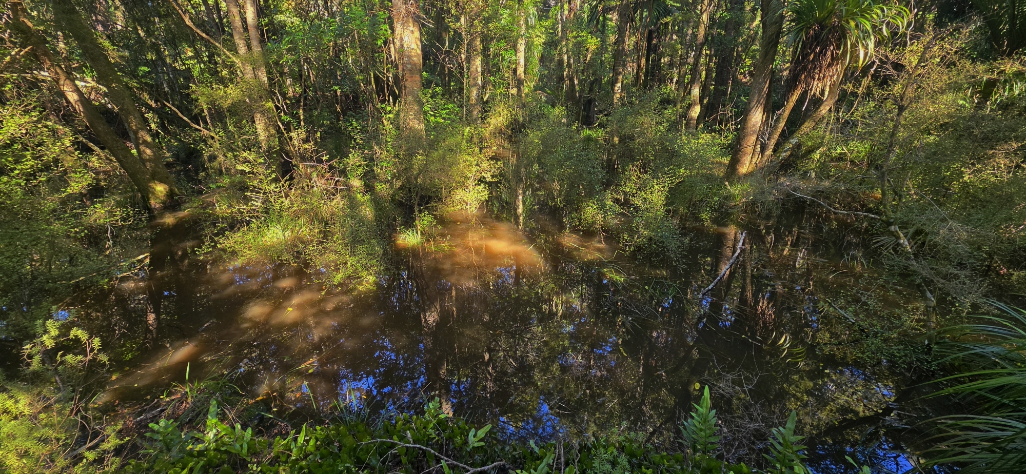
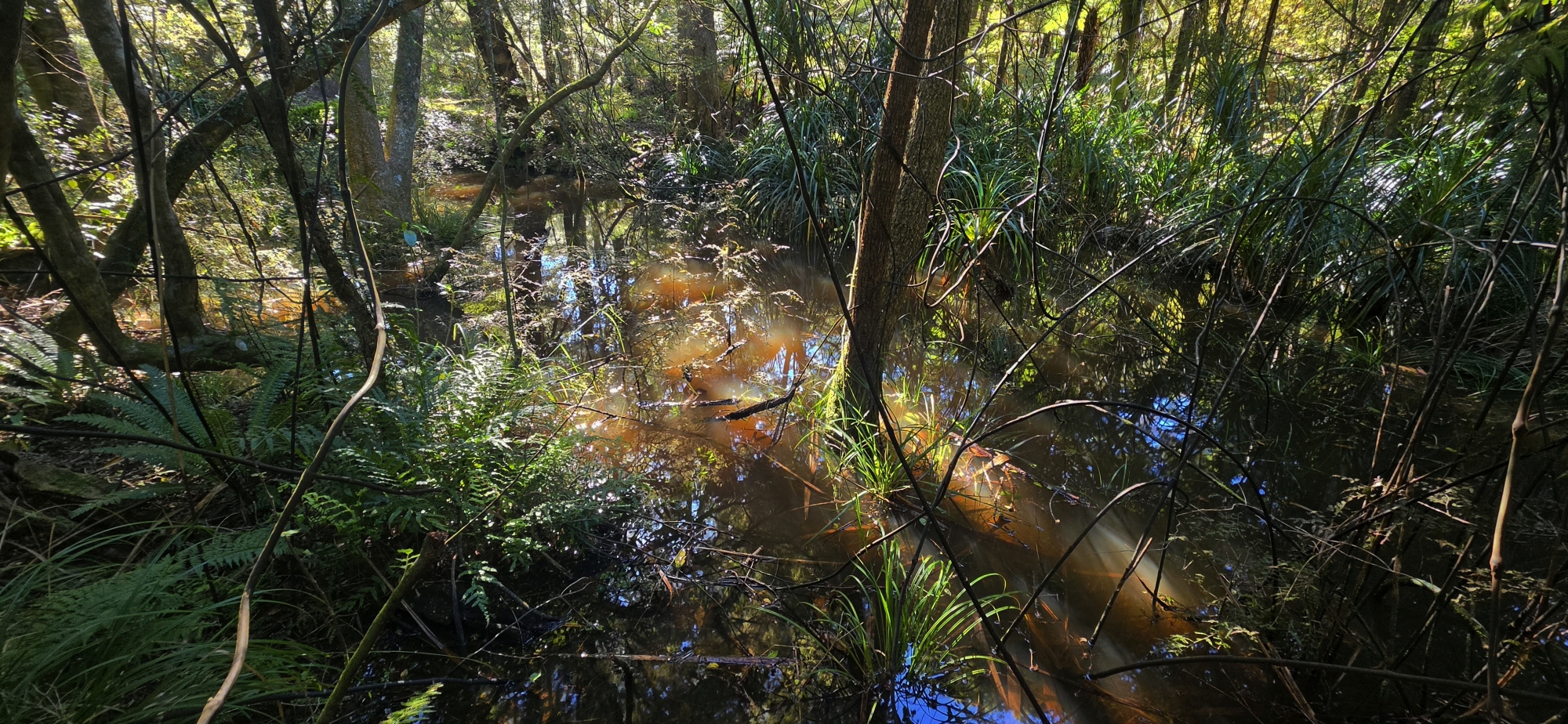
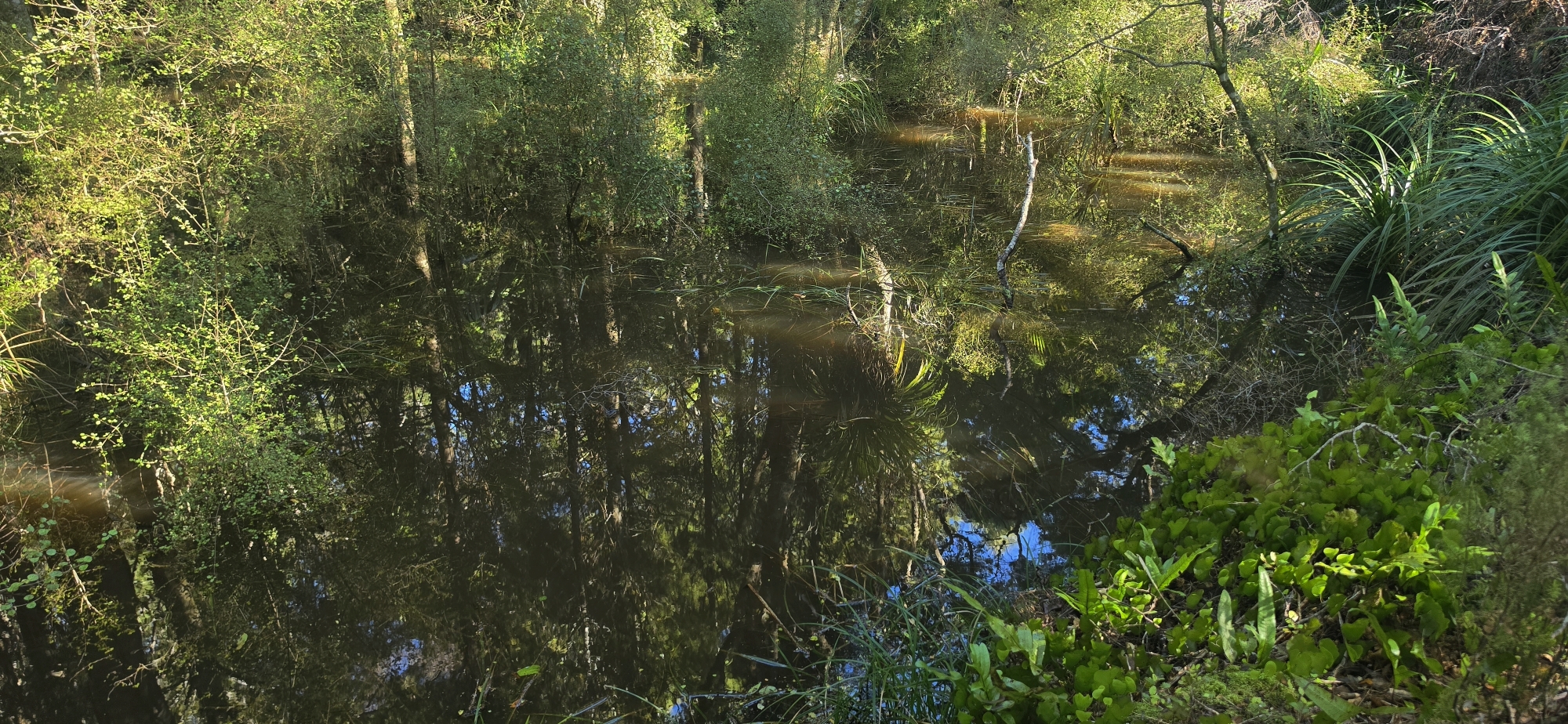
Before heading out, we continued farther upstream along Gollans Stream to scout the area for a future trip. The forest floor beside the stream became quite swampy in places, although there was usually enough raised ground to make our way through without getting our feet wet.
Eventually we decided we had gone far enough and returned to the campsite.
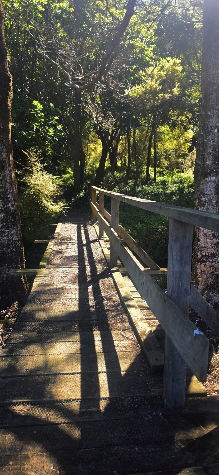
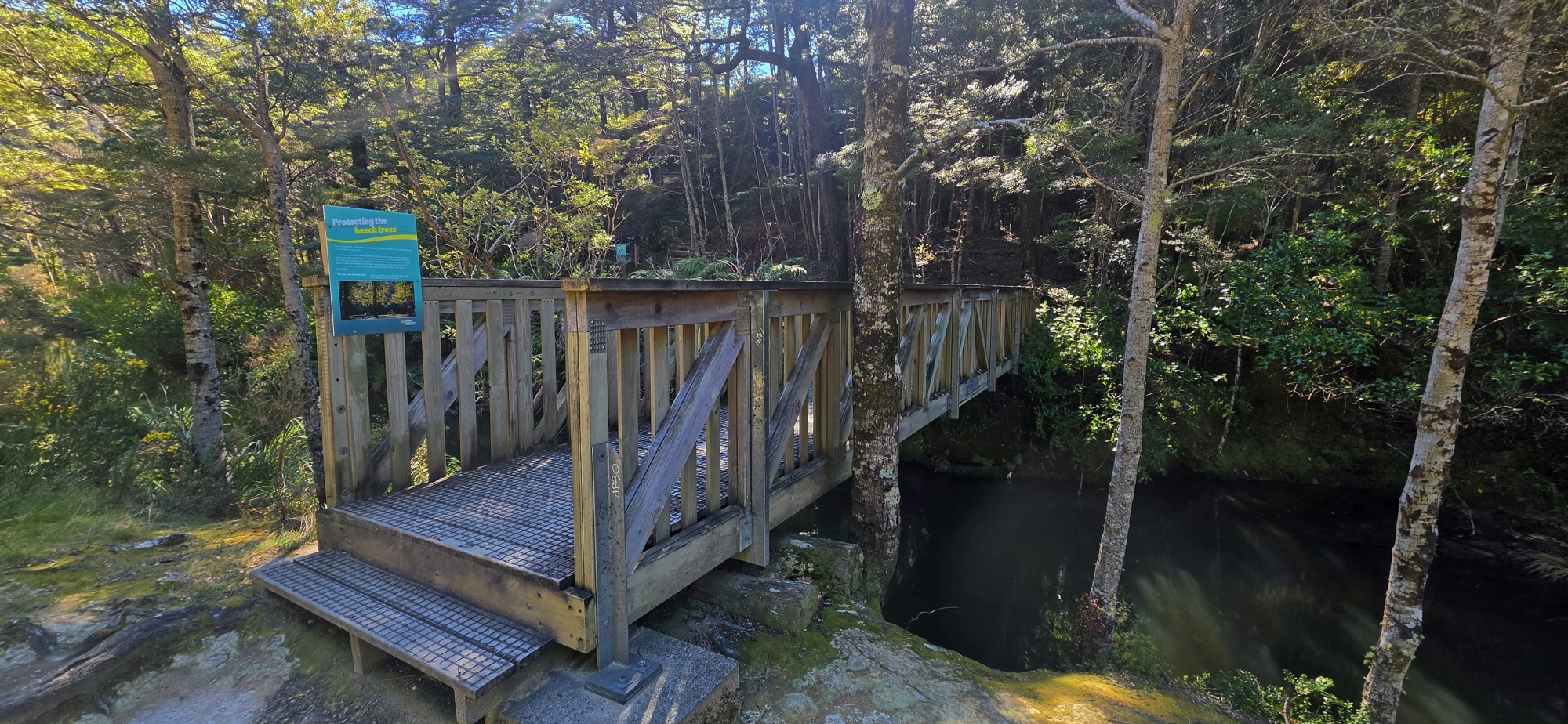
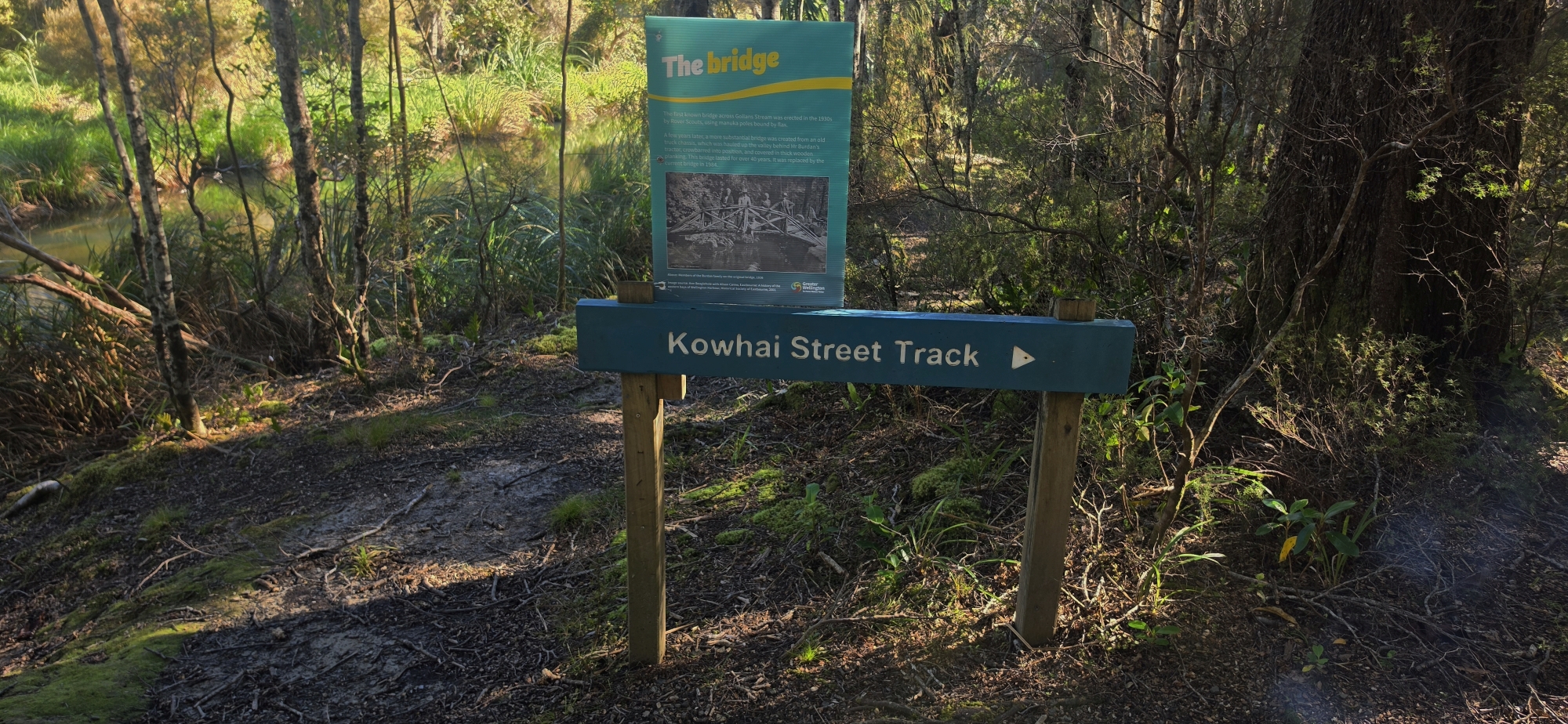
From there, we crossed the Gollans Stream Bridge and read about the history of this bridge in a information sign which read:.
The first known bridge across Gollans Stream was erected in the 1930s by Rover Scouts, using manuka poles bound by flax.
A few years later, a more substantial bridge was created from an old truck chassis, which was hauled up the valley behind Mr Burdan’s tractor, crowbarred into position, and covered in thick wooden planking. This bridge lasted for over 40 years. It was replaced by the current bridge in 1984.
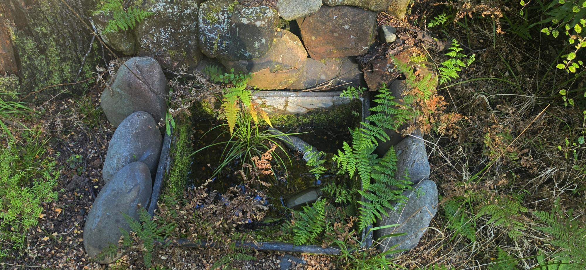
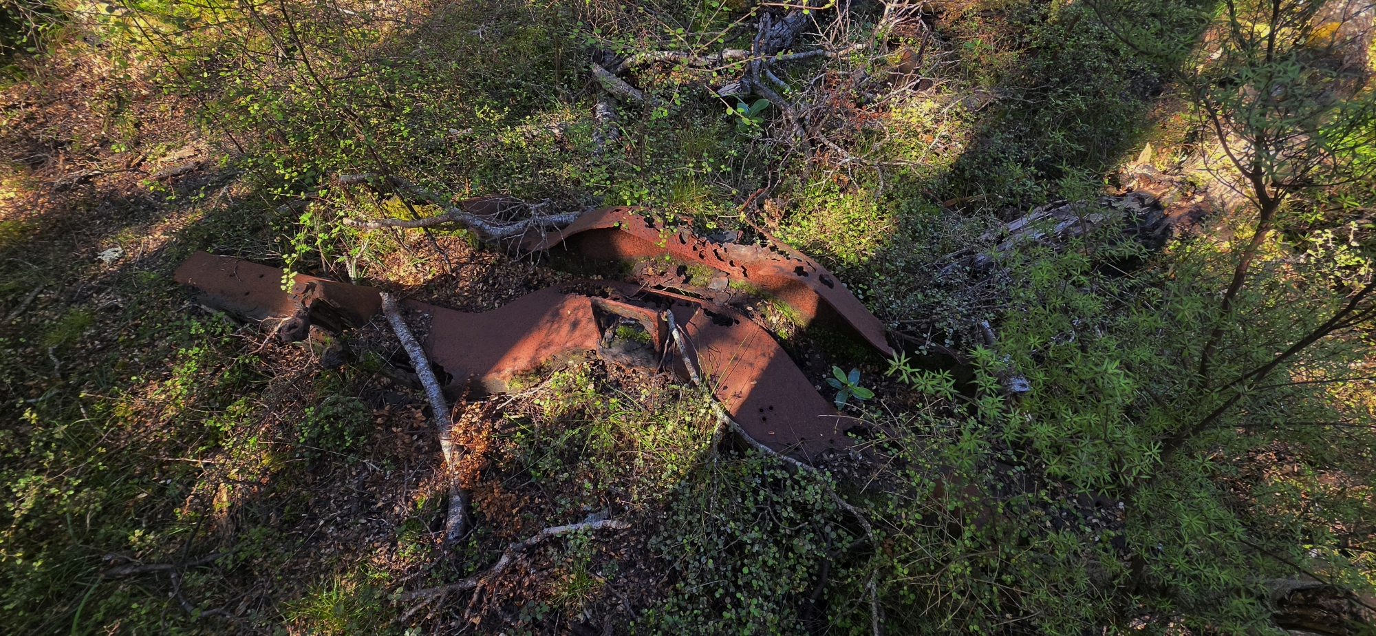 This explained something we had come across earlier in the bush: a metallic object that appeared to be the front section of an old truck chassis.
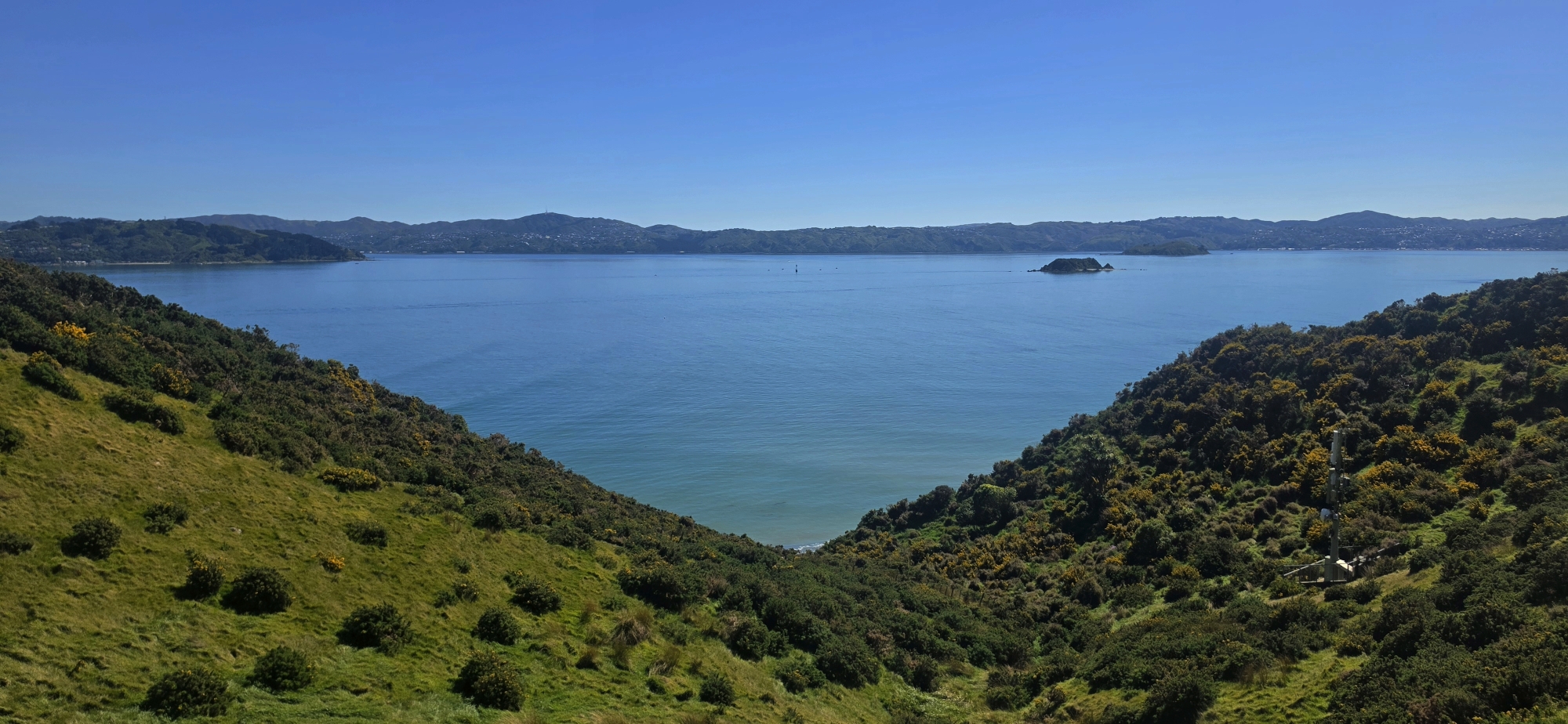
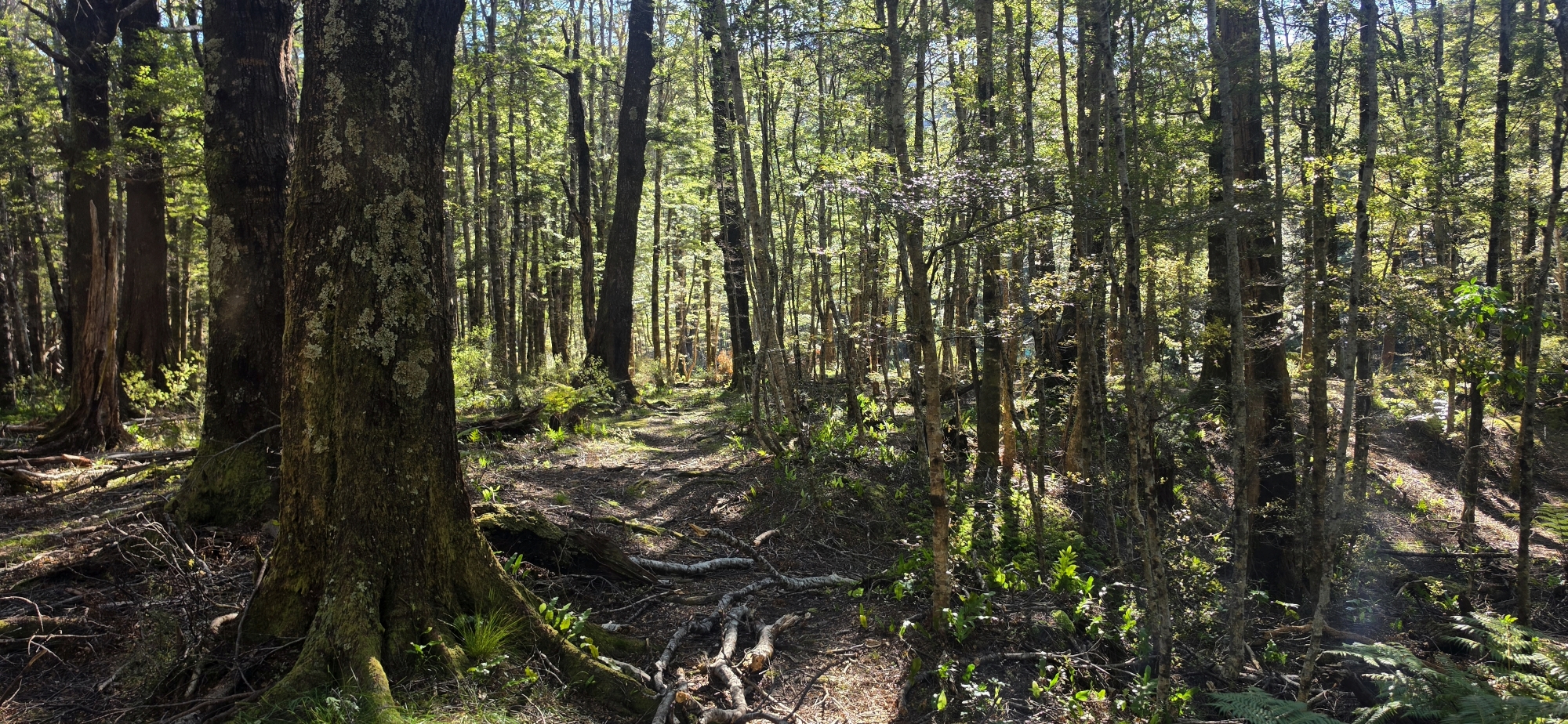
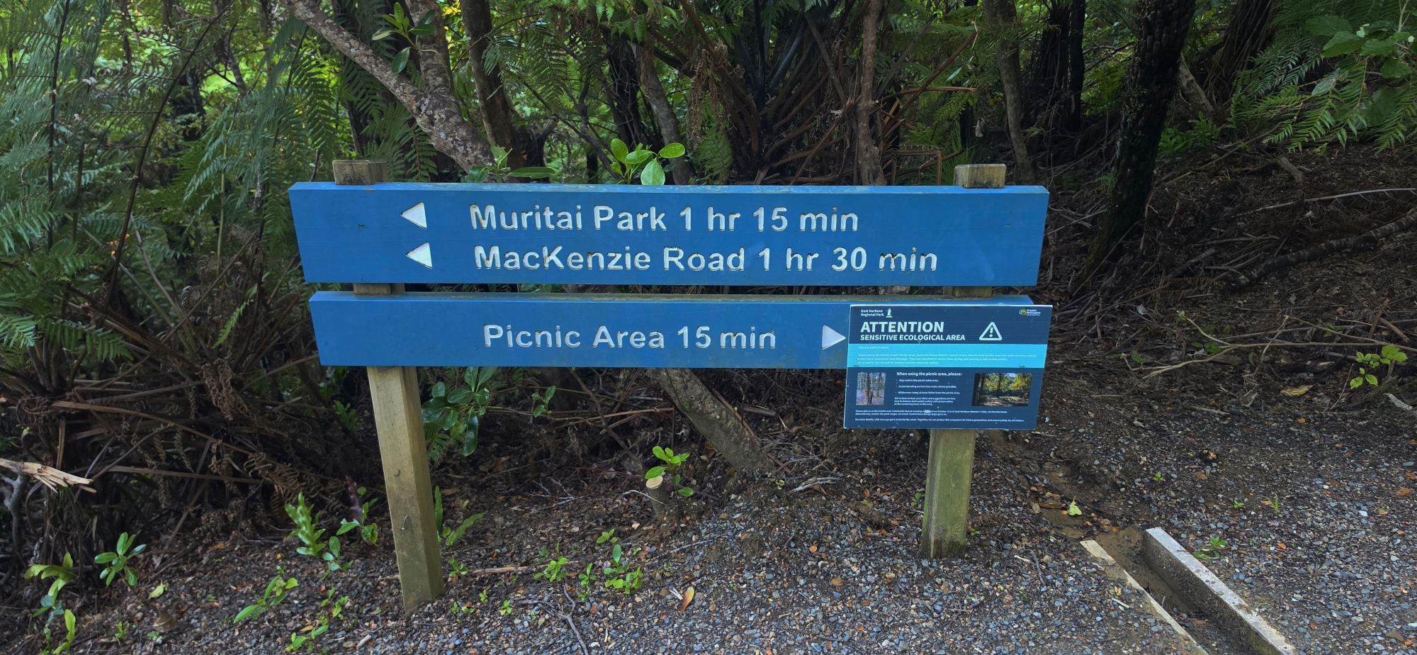
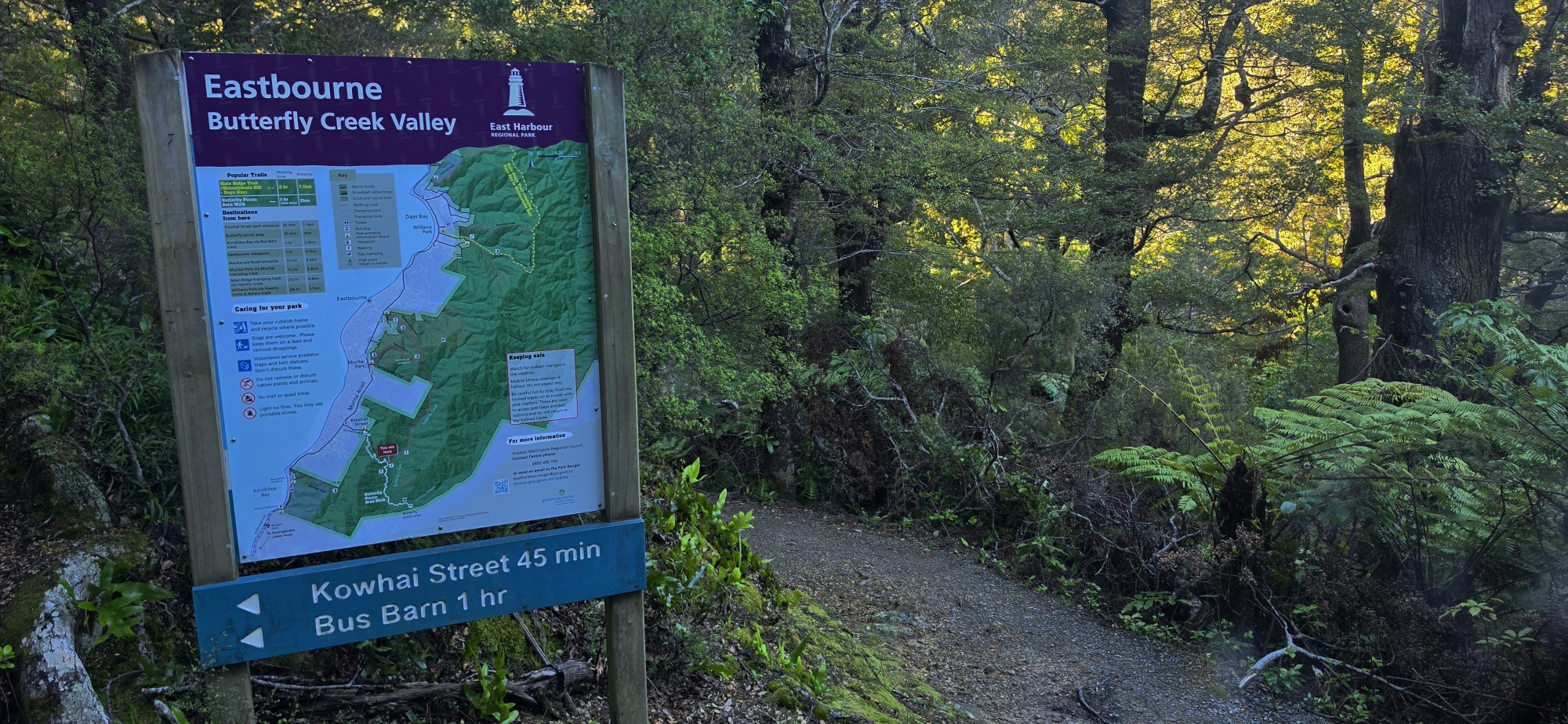
From the bridge, the journey out became much easier as we followed established tracks through and above the Butterfly Creek Valley. The route still required a final climb over the range before descending via the Bus Barn Track to near Burdan’s Gate. From the ridge, we had clear views of Sugarloaf Hill, with Mt Matthews rising further in the distance.
Although we had not found the elusive Gollans Valley reef, the trip helped narrow down the terrain described in the 1901 account and gave us a much clearer understanding of the valley. More importantly, it provided useful reconnaissance for our next trip, when we plan to follow Gollans Stream from its source downstream towards Butterfly Creek while once again searching for traces of historic prospecting activity. Another area of interest is Sugarloaf Hill, although exploring that location may require a little more planning.