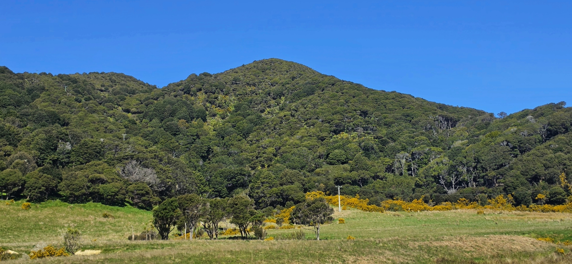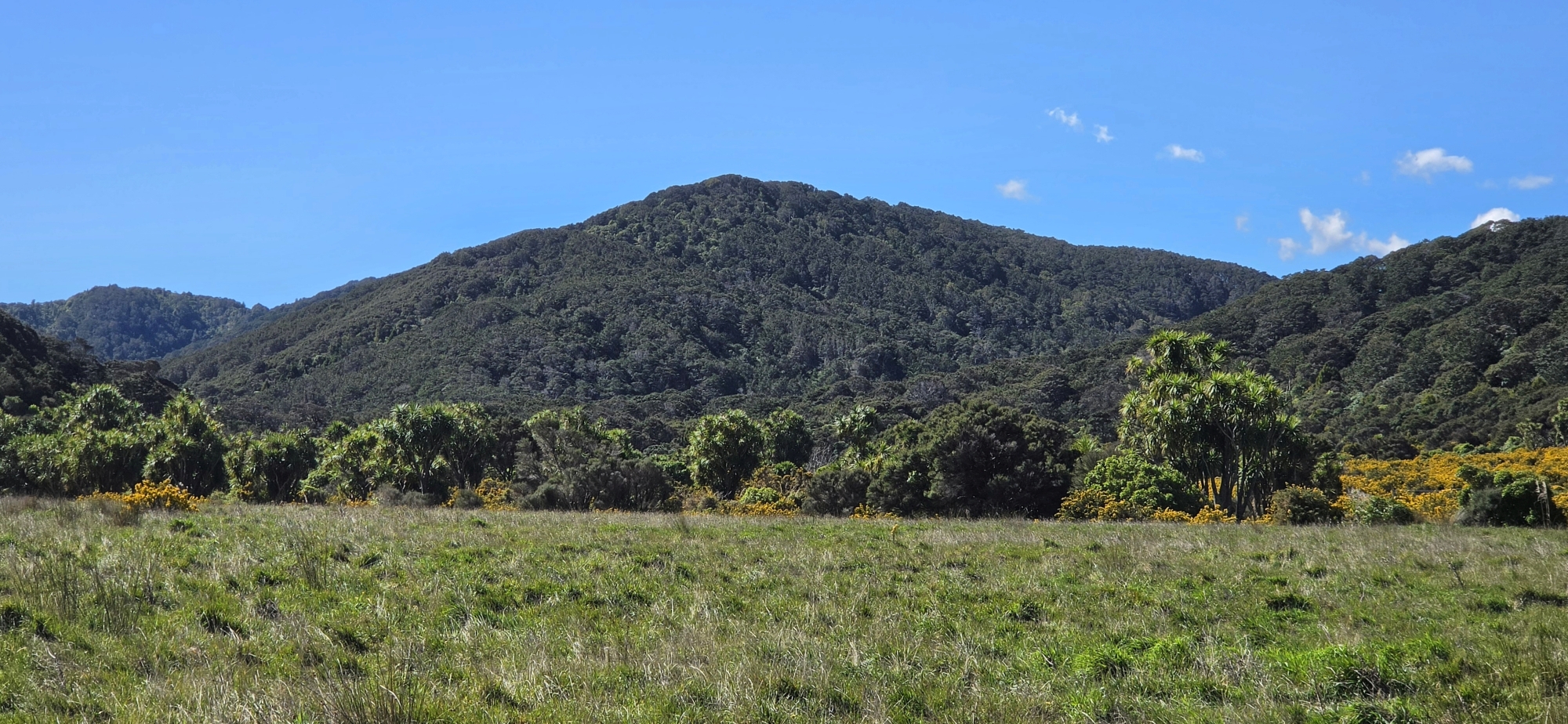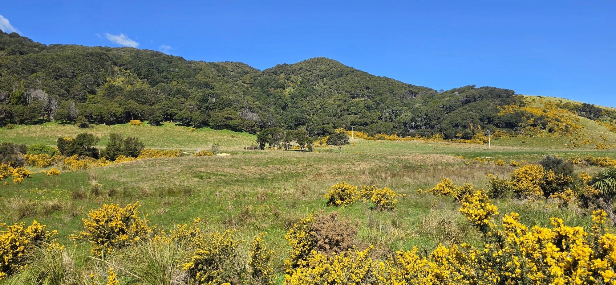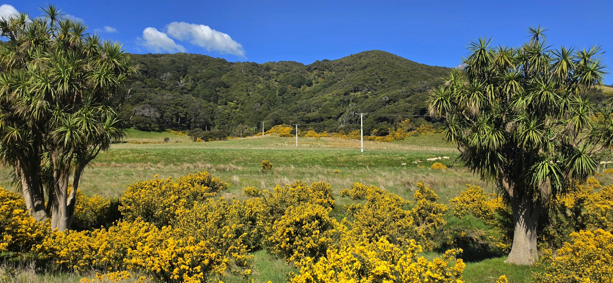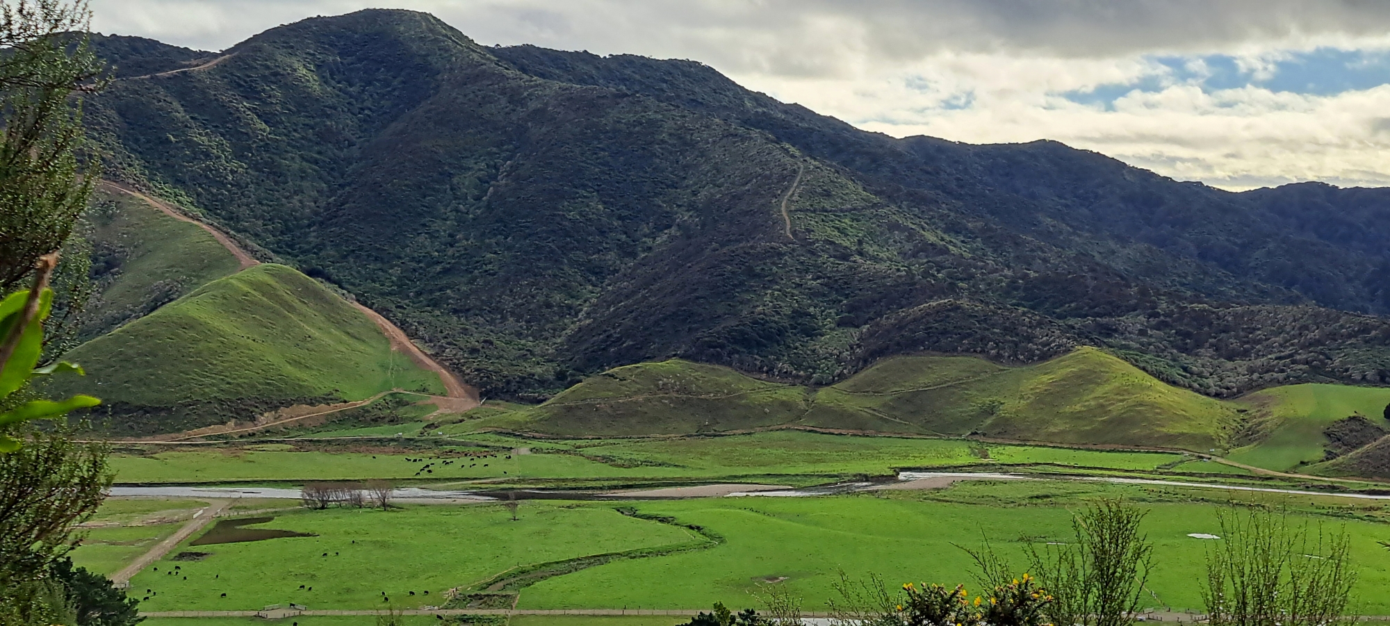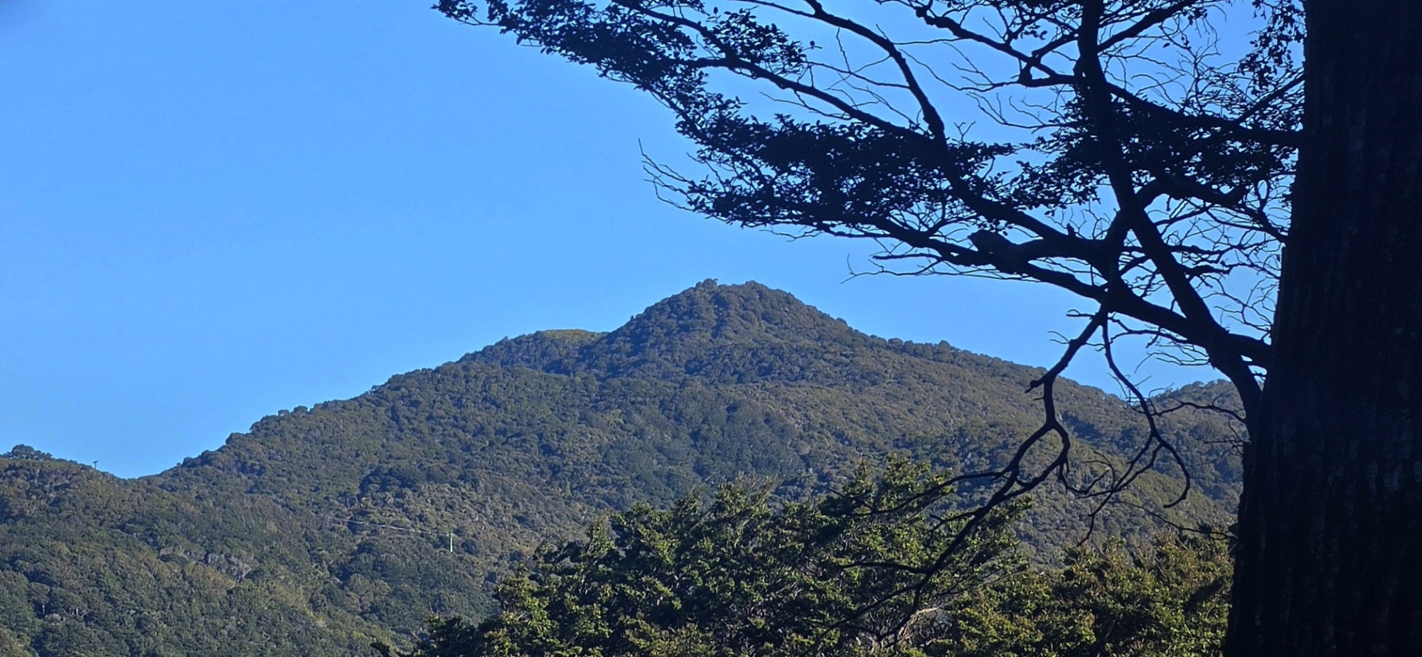
Looking towards Sugarloaf Hill, a distinctive 302-metre high point rising above Gollans Valley and Coast Road valley in Wainuiomata.
Sugarloaf Hill in Wainuiomata takes its name from the traditional sugar loaf, a solid cone of refined sugar commonly sold before granulated sugar became widespread. Its prominent conical profile reminded early settlers of these sugar loaves and led to the name Sugarloaf. The name was already in use by the early 1880s, appearing as “Sugar Loaf” on survey maps of Wainuiomata dating from 1882 and 1883.
Sugarloaf also has connections with Wainuiomata’s early gold-prospecting history. Local place-name records state that John Charles Grace, an early Coast Road settler and substantial landowner, prospected for gold in the Sugarloaf area, with later members of the Grace family also searching there.
During the Second World War, the hill took on a very different role. In 1942 a bivouac was constructed on Sugarloaf by the signal unit of the Somes Platoon of Bush Guides, part of the Wellington Home Guard. A photograph taken by noted photographer John Dobree Pascoe in December 1942 survives in the Alexander Turnbull Library collection.
The surrounding landscape has changed considerably since European settlement. Much of the original forest of the lower Wainuiomata Valley and neighbouring hills was milled during the nineteenth century and converted to farmland. Today the slopes around Sugarloaf contain a mixture of pasture, gorse, scrub and regenerating native vegetation.
Below Sugarloaf lies Gollans Valley. Its eastern face falls into the Coast Road valley, where the slopes become less forested and take on a more open, rural character across Baker’s Farm.