
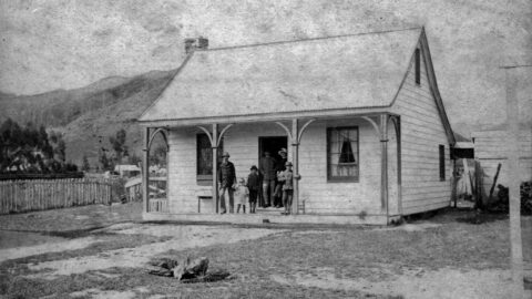
In 1867, John McIlvride, the postmaster, is believed to have constructed the Wainui-O-Mata school masters house.
Wainuiomata: Photos (Page 21)
Photographic timeline of Wainuiomata
Documenting Wainuiomata with an ever growing collection of photos. This includes locations such as the town centre, suburbs, landscapes, coastline, rivers, and reserves.
Photo articles are dated by the age of the main photo or the main subject rather than when the article was written. This places the photos in a timeline. Some photos date back to the 1800s. We either have permission to show these old photos or they have no copyright. Modern photos on the site were taken by David Johnson of Wainuiomata.Net unless otherwise specified.
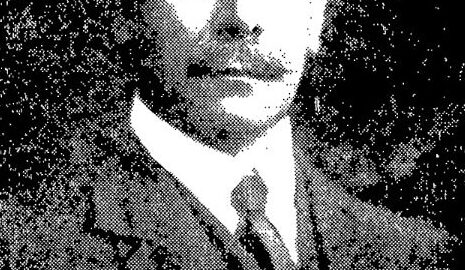
William Hobbard Morton (1866–1923) was Wellington’s Chief Engineer, overseeing key infrastructure projects, including the Morton Dam.
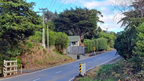
Collis House, built in the early 1860s, is named after the Collis family who settled in Wainuiomata. The house...
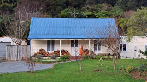
Thomas Scholes (1839–1923) constructed this cottage around 1865 on Coast Road, and it remains standing at 103 Coast Road...
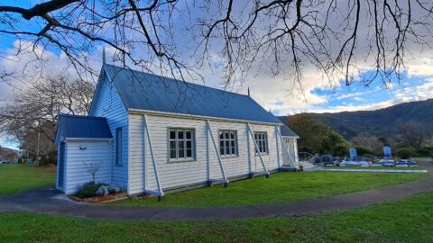
This historic Church, situated in Wainuiomata's oldest churchyard, held its inaugural service on February 6, 1866.
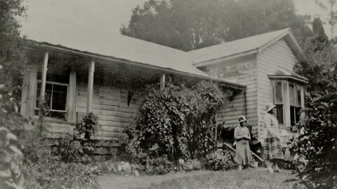
A photograph of Brookfield taken during the 1920s or 1930s. The Crowther home, built by John Crowther around 1863-1866,...
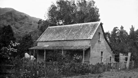
The old homestead, Willow Bank, Wainuiomata was built in 1862. Willow Bank was on the west bank of the...
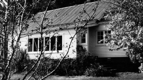
Constructed in the early 1860s, Sinclair House was the home of Isabella Sinclair (1803 – 1882). Subsequently renamed Dyers...
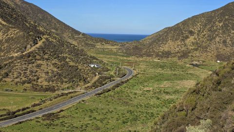
Coast Road in Wainuiomata, connects suburbia (Homedale) to the rugged southern coastline of the North Island.
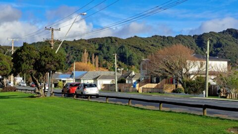
Fitzherbert Road, originally known as Swamp Road before 1959, extended to the base of the hills leading to Naenae...
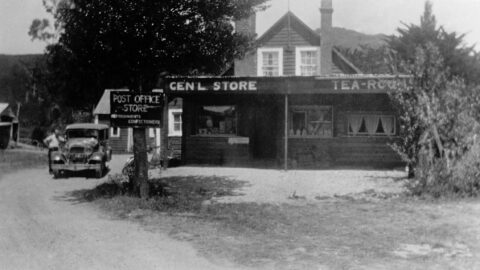
The McIlvride cottage on today’s Moores Valley Road was later expanded to include a store and post office.
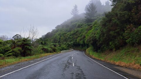
Moores Valley Road connects the oldest shopping area to a valley that epitomises the rural charm of Wainuiomata.
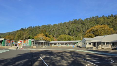
Established in 1857, Wainuiomata Primary School, a state school, resides in Homedale, the oldest suburb in Wainuiomata.
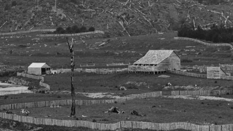
Moness Woolshed formed part of Hugh Sinclair’s former property, known as "Moness". The site is now occupied by Richard...
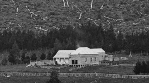
Glenhill was the family house of John Sinclair, located around 136 Hine Road today. Glenhill means a narrow...

Gollans Valley, located in the hills between Eastbourne and Wainuiomata is the only property in Wainuiomata with an Eastbourne...
WAINUIOMATA TOURS

Step into the wilderness of Wainuiomata and experience it for yourself. Learn more →.
WAINUIOMATA MUSEUM

Located in Wainuiomata Primary School, it is open 2pm-4pm every Sunday. Learn more →.
BUY ME A COFFEE
Support Wainuiomata.Net with a donation and help us continue to uncover local history, capture photos, drink coffee, and promote Wainuiomata.
Scan or click the code below:


Support
Make a donation and help us continue to uncover local history, capture photos, drink coffee, and promote Wainuiomata.
Scan or click the code below:
DISCUSSION