
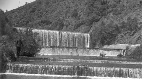
In a 1909 photograph capturing the lower dam spillway, an intriguing detail emerges in the corner: a self-portrait of...
Wainuiomata: Photos (Page 19)
Photographic timeline of Wainuiomata
Documenting Wainuiomata with an ever growing collection of photos. This includes locations such as the town centre, suburbs, landscapes, coastline, rivers, and reserves.
Photo articles are dated by the age of the main photo or the main subject rather than when the article was written. This places the photos in a timeline. Some photos date back to the 1800s. We either have permission to show these old photos or they have no copyright. Modern photos on the site were taken by David Johnson of Wainuiomata.Net unless otherwise specified.
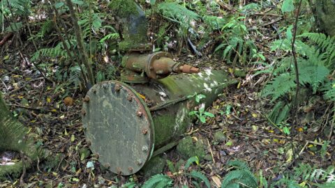
The Morton Dam pipeline was a key part of Wellington’s early 20th-century water supply system. Constructed between 1908 and...
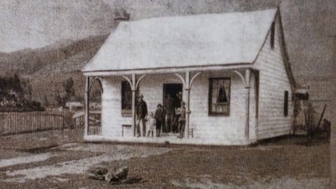
Wainuiomata Primary School (circa 1987), a state school, resides in Homedale, the oldest suburb in Wainuiomata.
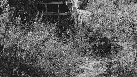
John Coleman was a contractor in the late 19th century who played a vital role in developing the region’s...
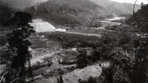
This photograph shows Morton Dam in Reservoir Valley Wainuiomata, under construction, likely taken between 1907 and 1908.
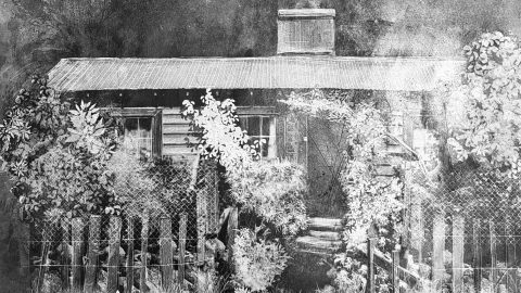
Mackay Cottage was built after 1907 for Morton Dam workers and was removed in 1980. During the war, Mackay...
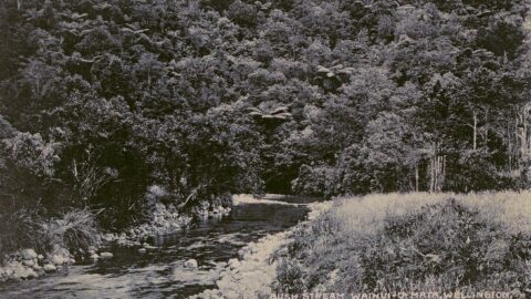
View of the Wainuiomata River circa 1906. The scene may depict a swimming hole resembling either Swing Bridge Pool...
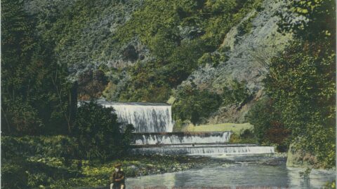
Postcards featuring this picturesque view of the spillway date back to 1905. They were widely circulated, along with other...
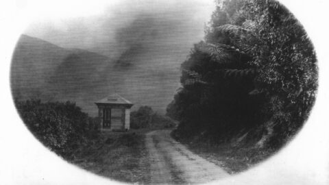
Discover the history of the venturi meter installed around 1902 near Reservoir Road, used to measure flow in Wellington’s...
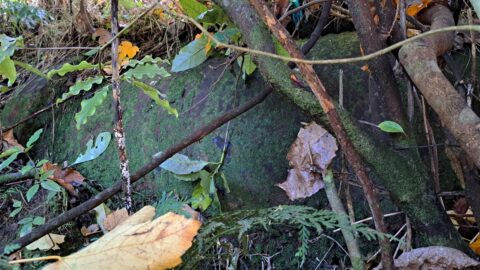
A new pipeline between the old dam and Coleman’s Tunnel in Wainuiomata was constructed between 1899 and 1902.
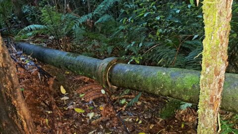
This pipe may have functioned as a scour pipe from the Orongorongo pipeline. It is hidden in the bush...
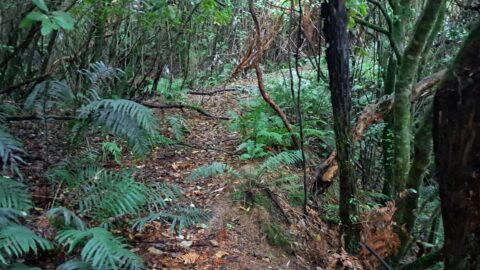
Along a short section of Maintenance Road, an old track parallel to Reservoir Road, there is an earth bridge....
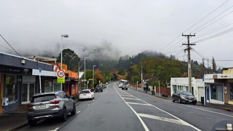
Before 1958, Main Road in Wainuiomata was known as Wainuiomata Road because this area was the focal point of...
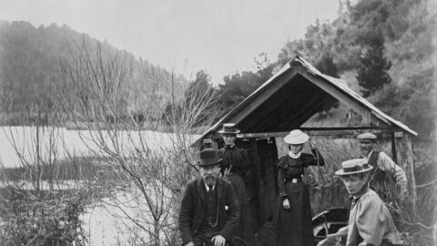
Unidentified men and women at Lower Dam, Wainuiomata Reservoir, circa 1890s. The man in foreground is possibly Arthur Thomas...
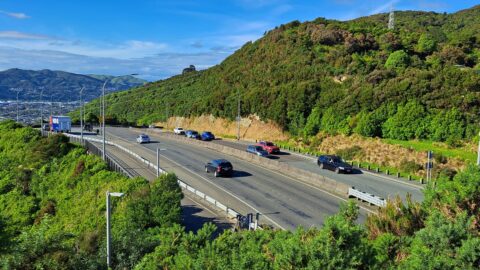
Wainuiomata Road that opens out to four / five lanes and goes over the Wainuiomata Hill. The road rises...
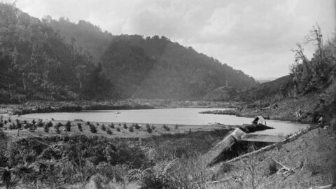
This 1888 view of the original Wainuiomata dam shows the spillway on the right, newly planted pine trees in...
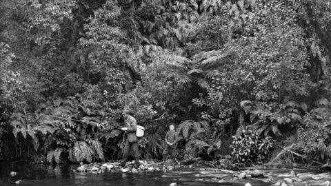
A fisherman and possibly his son, is pictured along what is likely Wainuiomata River. Could be near Reservoir Road...
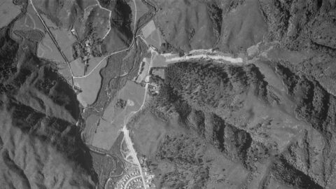
Aerial photos from 1941, 1942, and 1954 reveal up to four Sinclair family homes, including Glenhill, Northbrook, Moness, and...
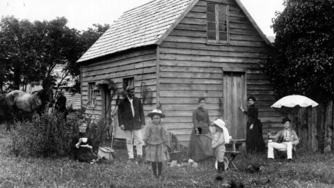
The McIlvride family are pictured on their property. Elizabeth stands beside the fishing basket, while John is on the...
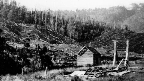
The Sinclair Sawmill Hut in Moores Valley is visible in the background. This photograph was taken by Frederick James...
WAINUIOMATA TOURS

Step into the wilderness of Wainuiomata and experience it for yourself. Learn more →.
WAINUIOMATA MUSEUM

Located in Wainuiomata Primary School, it is open 2pm-4pm every Sunday. Learn more →.
BUY ME A COFFEE
Support Wainuiomata.Net with a donation and help us continue to uncover local history, capture photos, drink coffee, and promote Wainuiomata.
Scan or click the code below:


Support
Make a donation and help us continue to uncover local history, capture photos, drink coffee, and promote Wainuiomata.
Scan or click the code below:
DISCUSSION