Wellington City Council Archives, 00125-17: CC-BY.
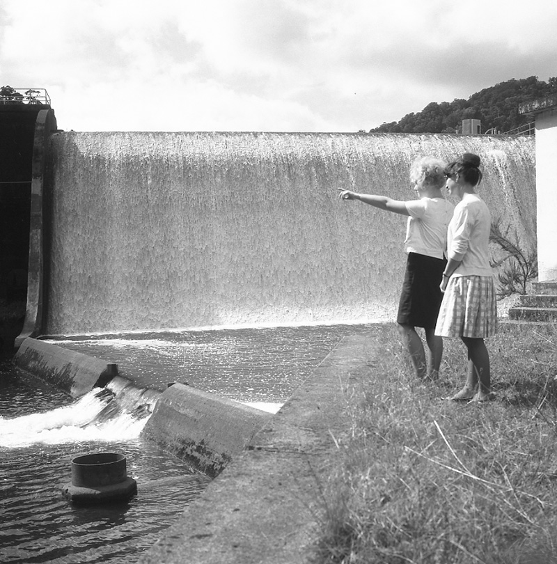
Wellington City Council Archives, 00125-17: CC-BY.
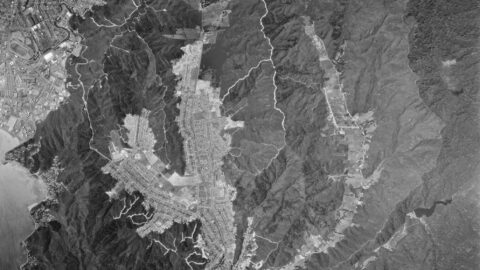
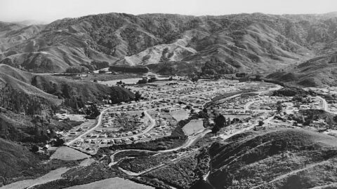
Aerial image of Wainuiomata in the year 1974. The image contains numerous freshly cut firebreaks on the surrounding hills.
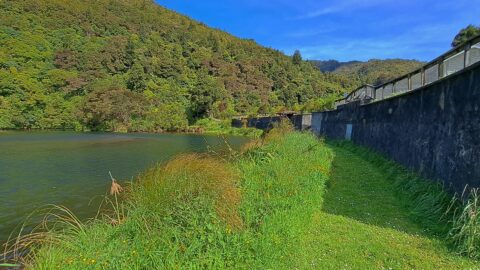
Photo of the Old Dam in 2022. The reservoir was once thirty feet deep but was largely filled when...
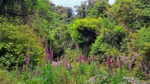
There is no track here, but trekking up Skerretts Creek involves a lot of rock hopping. Eventually it opens...
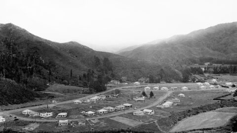
Aerial view of Homedale (circa 1946) showing some interesting features. They are as follows: 23 houses in Poole Crescent;
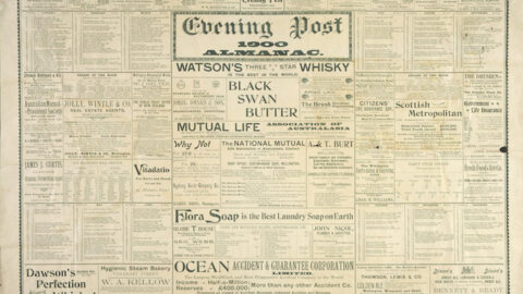
Tenders for laying water mains from Petone to the Hutt River (about 2 miles), will be received at the...
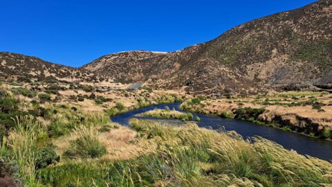
The lower reaches of Wainuiomata River as observed during summer. It traverses arid looking terrain in the month of...
A timeline taken from the same lookout near the car park at the top of the Wainuiomata Hill. Click...
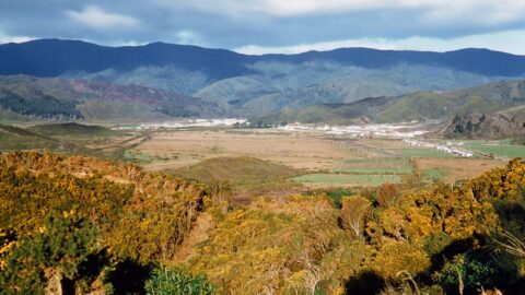
A color image of the Wainuiomata Valley from the summit of Wainuiomata Hill. While there is housing, Parkway is...

Located in Wainuiomata Primary School. It is open 2pm-4pm every Sunday. Learn more →.