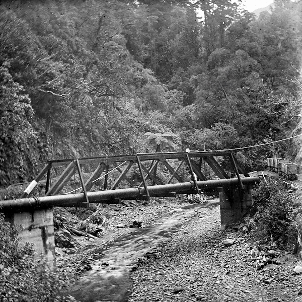
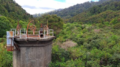
View of the Orongorongo River Tunnel Pipeline around the year 1924. To the right you can see a jigger.
Wellington City Council Archives, 00125-28: CC-BY.
The party is now being moved to complete the survey of the Wainuiomata route, work on which was suspended...
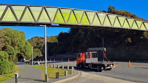
The Pukeatua Bridge crosses over the top of Wainuiomata Hill Road. The bridge links pedestrian and cycling pathways along...
The committee beg to report… That one half the penalties incurred in Mr D. Sinclair’s contract for tunnel at...
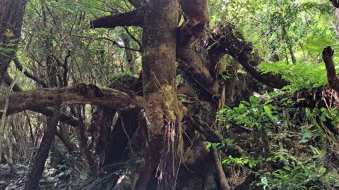
At some point, a landslide has moved these trees farther down the steep incline beneath the McKerrow Track.
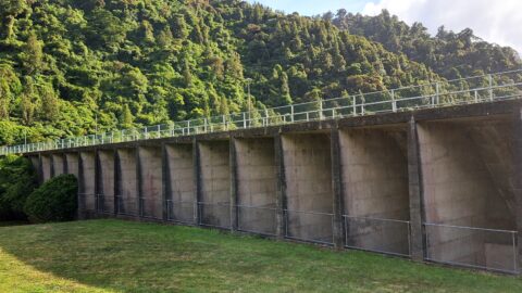
View from atop Morton Dam looking at what was once the area of stored water. This is what 36...
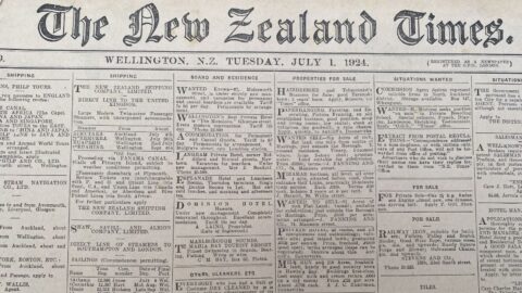
We learn that Mr G. H. Bayliss, contractor for a portion of the Wainui-o-mata Waterworks, met with rather a...
Mr Bayliss, contractor for the construction of the Wainuiomata dam, having asked the City Council to compensate him for...
Built from 1908 to 1911, the Morton Dam in the Wainuiomata River catchment was named after William Hobbard Morton.

)