Photo circa 1970s of the beginning of Reservoir Valley showing pipes on the left and a firebreak going up the hill overlooking Nikau Creek Gully. The grassy expanse is now integrated into Richard Prouse Park.
Photographer: Jeremy Foster.
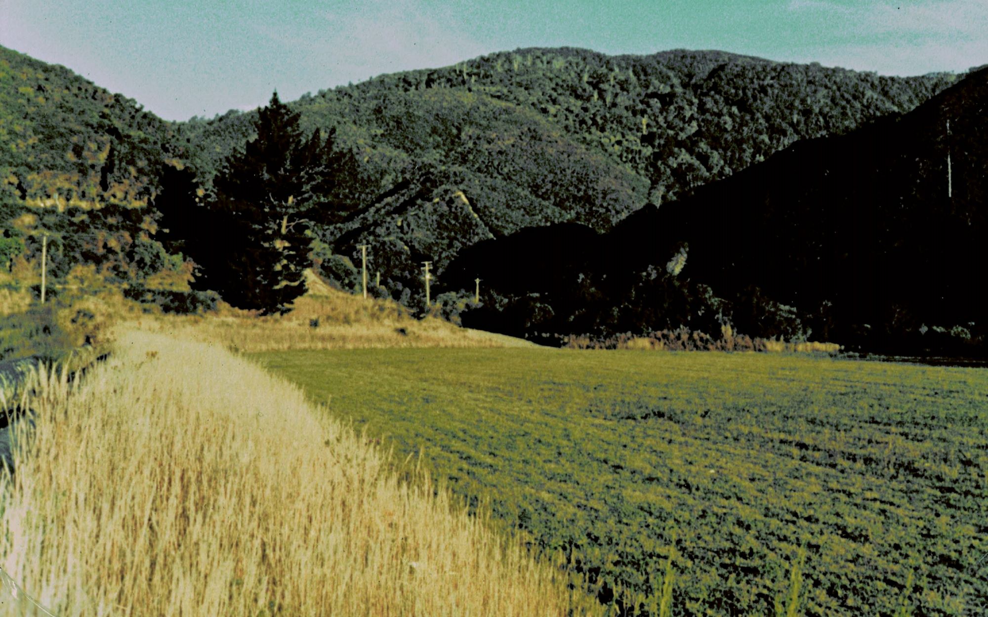
Photo circa 1970s of the beginning of Reservoir Valley showing pipes on the left and a firebreak going up the hill overlooking Nikau Creek Gully. The grassy expanse is now integrated into Richard Prouse Park.
Photographer: Jeremy Foster.
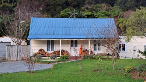
Thomas Scholes (1839–1923) constructed this cottage around 1865 on Coast Road, and it remains standing at 103 Coast Road...
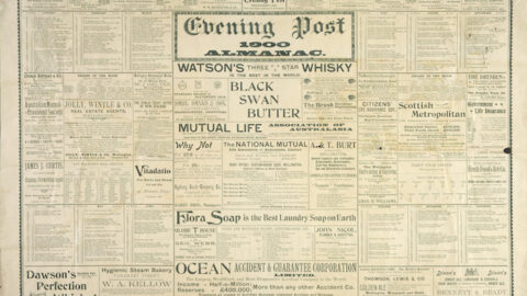
1869 Jan – John Stack – commenced employment at Haslam’s Sawmill. Evening Post: 19 Jan 1870.
He then went on to criticize at some length the engineering in connection with the Wainui-o-mata waterworks, especially the...
The two-foot flume was adopted on the report of the City Engineer, and was the only one that could...
During the day Burns followed his dog down a gully after a goat, which he secured. When he came...
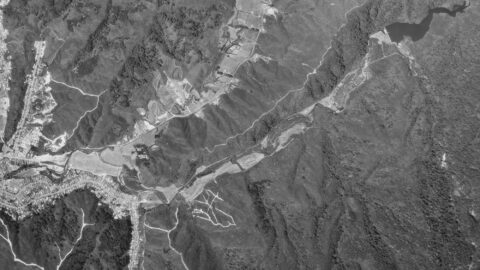
1974 aerial photograph depicting Homedale and Reservoir Valley, showcasing numerous firebreaks present during that era.
The Committee recommended that Messrs Sinclair be paid £8 per acre for the land taken for the Wainuiomata reservoir...
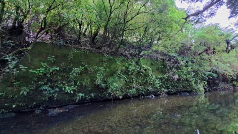
A concrete wall aligns part of the Wainuiomata River in Reservoir Valley. Situated on the northern side with Reservoir...
