Pictured is a view toward Wellington from atop the Whakanui Track in 1989.
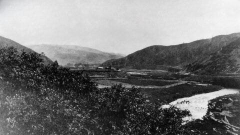
In view is the valley where Coast Road is located with the entrance in Wellington Harbour further out. Wellington city can be seen in the background.
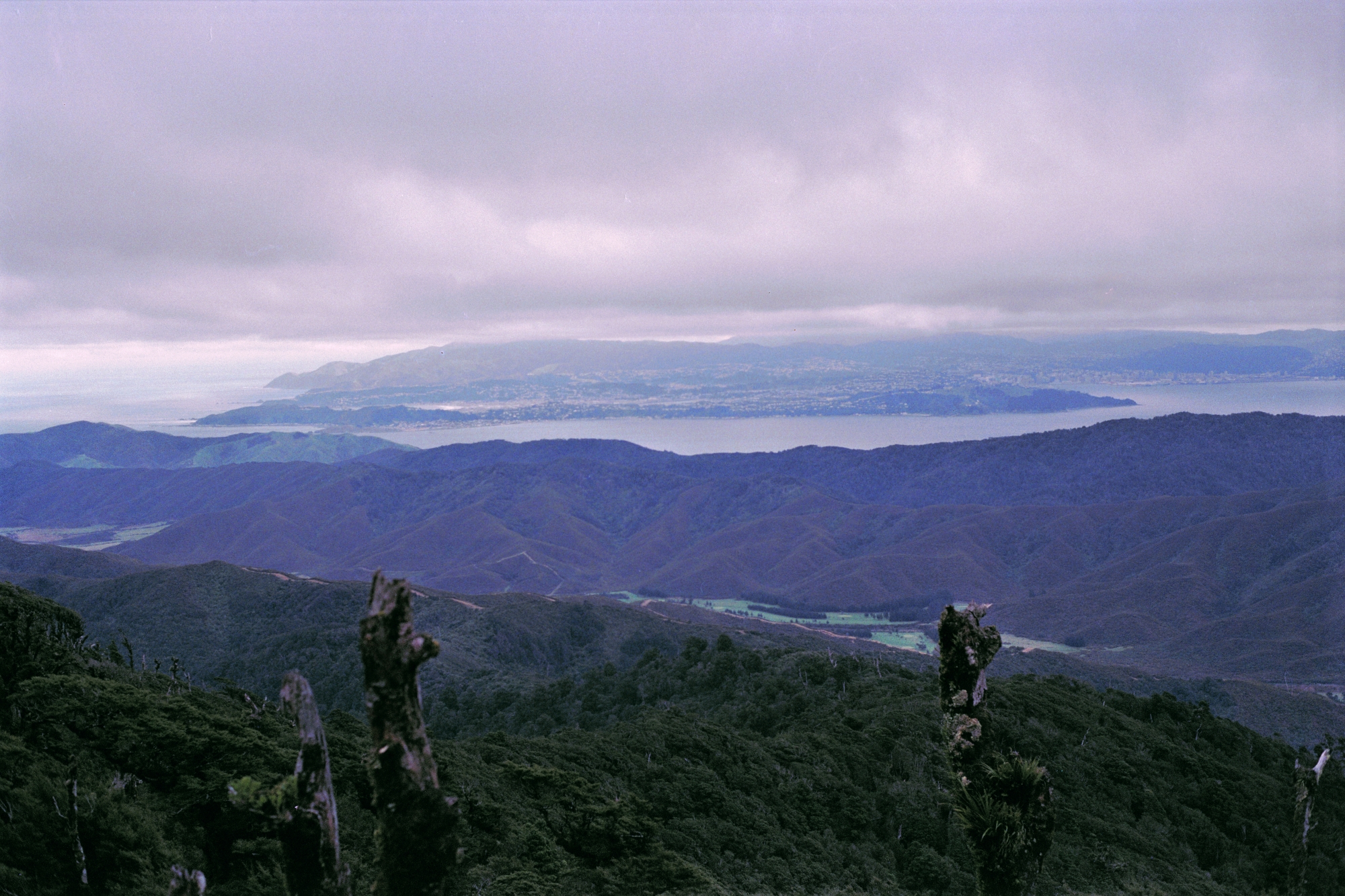
In view is the valley where Coast Road is located with the entrance in Wellington Harbour further out. Wellington city can be seen in the background.
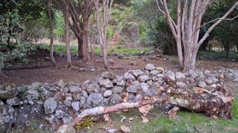
Mackay Cottage was built around 1912 for Morton Dam workers and was removed in 1980. During the war, Mackay...
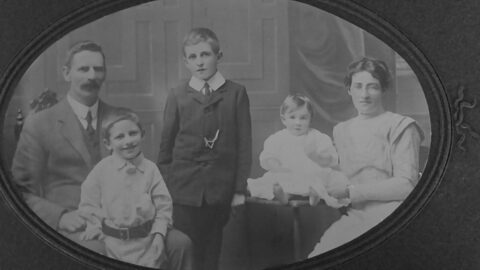
Edgar Hine emigrated to New Zealand in 1879. He was a bond holder in the Wainuiomata Development Company as...
At Messrs Luke, Sons and Williams was a locomotive engine, and this was also seized under the impression that...
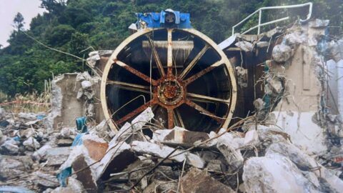
Pictured is the dismantling of the Morton Dam strainer facility during the 1990s. Morton Dam was decommissioned earlier in...
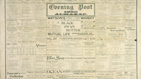
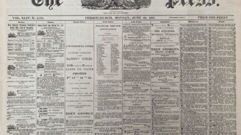
Dr Hector's analysis failed to discover payable gold in the Wainuiomata quartz. -- The Christchurch Press.
This view captures a fenced-off Hine Road Recreation Area in the 1870s or 1880s. In that era, the reserve...
Opening of Tenders by the City Council for the Wainuiomata water supply scheme… The tenders were then read by...
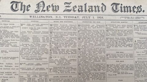
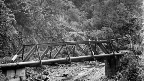
View of the Orongorongo River Tunnel Pipeline around the year 1924. To the right you can see a jigger.
