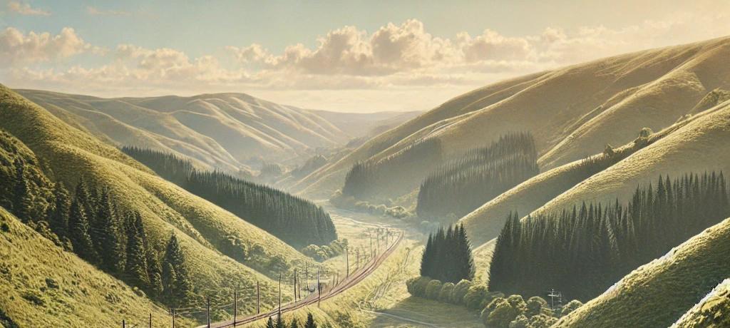
Impression of railway line passing through Wainuiomata.
Few know that Wainuiomata was once considered as a route for the Wairarapa railway.
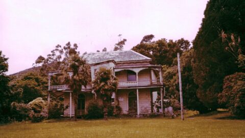
In January 1871, Mr. John Rochfort embarked on an exploration to find a feasible railway route from Wellington to the Wairarapa via Wainuiomata. Guided by John Sinclair, Rochfort aimed to evaluate a path discovered by Sinclair and his brothers. The proposed route began at the Hutt, crossing the dividing range at an elevation of 547 feet before descending to Sinclair’s home in Wainuiomata.
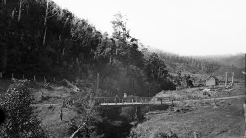
The path then followed the Wainuiomata River, ascending 421 feet over six and a half miles, before climbing another 751 feet to cross the range between Wainuiomata and the Orongorongo River. At 1,495 feet above sea level, this was the highest point of the proposed route. Despite these climbs, Rochfort calculated that the required gradient would be too steep for the limited distance available, posing a challenge for railway construction.
After further exploration, the team encountered a significant obstacle at the saddle between the Orongorongo and Wairongomai Rivers. The land abruptly dropped 900 feet, making it impossible to proceed without substantial additional work. Rochfort concluded that this route was impractical due to the steep terrain and dangerous slips along the way.
Despite the exploration’s failure, Rochfort’s report solidified the view that a railway over the Rimutaka Range, rather than through Wainuiomata, was the most viable option for connecting Wellington to the Wairarapa. His findings laid the groundwork for future infrastructure development in the region.
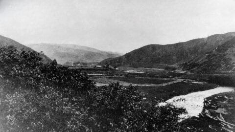
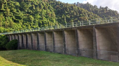
In August 1919, A Mr. J. P. Luke raised an important inquiry in the House of Representatives, asking whether the Minister of Public Works would provide an assurance that any future railway line, connected with a proposed deviation of the Wairarapa line, would not pass over the council’s watershed at Wainui-o-mata. This concern highlighted the potential impact such a railway could have on the vital water supply for the region, emphasizing the need to protect essential infrastructure from disruption. The inquiry underscored the importance of balancing infrastructure development with environmental and public resource considerations.
The Chosen Route: Rimutaka Hill
Ultimately, the Rimutaka Range was chosen for the railway line that would connect Wellington to the Wairarapa region. Construction of the line through the Rimutaka Range, particularly the notorious Rimutaka Incline, became one of New Zealand’s most ambitious engineering projects. Opened in 1878, the railway featured steep grades and tight curves, and required the use of the Fell mountain railway system, a specialized technology to help trains manage the challenging incline.
The Rimutaka Incline became famous for its scenic but difficult terrain, stretching 4.8 kilometers and ascending to a height of 265 meters over a relatively short distance. The trains required extra braking and traction systems to safely traverse the route. This unique rail section remained in operation until 1955 when the incline was replaced by the Rimutaka Tunnel, which allowed for faster and more efficient rail transport.
