In this adventure, I find another site with remnants of an old hut and explore Skerretts Creek.
Initially, I intended to embark on the Kittyhawk expedition, for which I had even purchased new boots, realizing my old ones were insufficient. However, it soon dawned on me the folly of undertaking a full-day expedition in brand-new boots. To avoid discomfort and the possibility of blisters, I decided it would be wise to break the boots in first, with a shorter trek or two. The question then arose: where should I go? In a previous expedition, I located the site of the Black House, but I had a gut feeling there was more to find in that general vicinity. So I decided that this would be the perfect location. Further, if the boots gave me some grief, I could leave the area quickly as it is closer to civilisation than the top of a mountain peak.
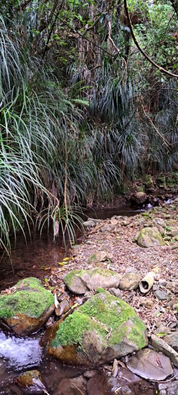
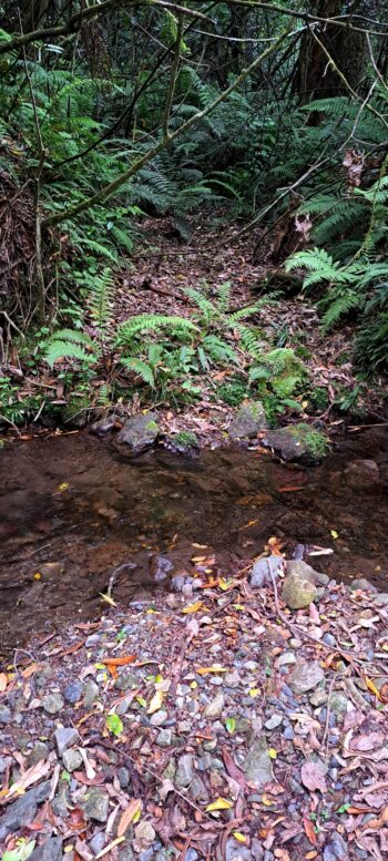
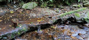
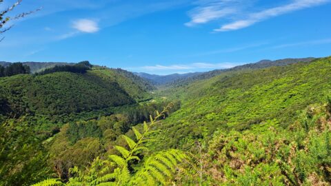
So I started my trek at the top of Sunny Grove and ventured off the beaten path earlier than usual if heading to the Black House. I made my way at an angle in order to arrive at the correct location. I initially believed this area to be a swamp, yet I traversed it without getting my boots wet. Alongside the wetland, there were pathways on the edge of a nearly dried-up stream, likely due to the recent hot weather and limited rainfall. I imagine this would all be boggy in the winter months though.
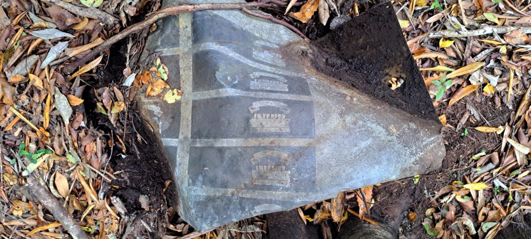
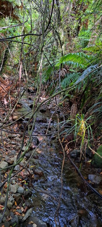
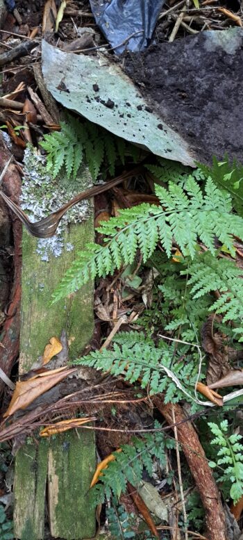
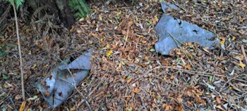
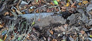
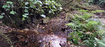
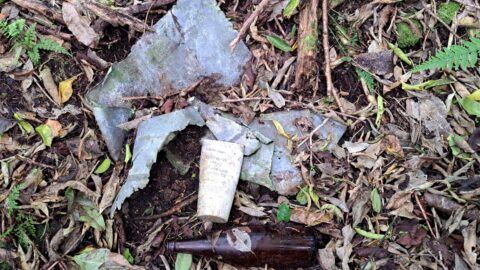
Once at the Black House site, my plan was to follow an unnamed creek up a gully behind the site. I began the walk and as I progressed up the creek (without a paddle;), in no time at all, I caught sight of some man-made materials sticking out of the ground higher up the bank to the right, so I headed for that. It was a black polythene type sheeting that for some reason was laid around a tree on the bank and was sufficiently spread out to perhaps stop vegetation from growing there. I couldn’t think of a logical reason for doing that though given the bank was a little steep. The black sheet was covered in foliage and there was also some half buried tin tiles and a seriously corroded metal object of some kind. But was this part of the Black House site? I think not, because it was above the Black House. In time, things fall downward, not up. At least according to Newton. Could it then have been a location for dumping rubbish from the Black House? No, because you don’t dump rubbish on a steep slope.
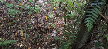
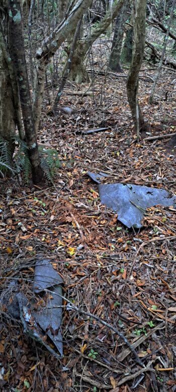
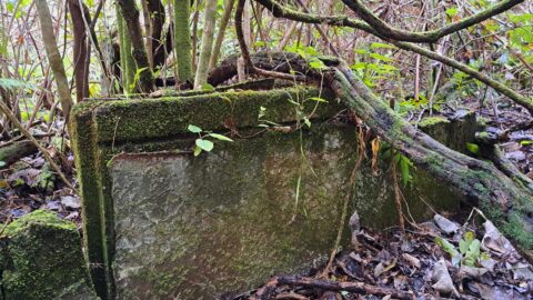
From here, I thought it smarter to continue up the hill as there might be something else of interest close by and I could always head back down the creek on the way back. I ascended the bank and eventually came to a flattish area where the vegetation wasn’t as thick. I noticed more discarded tin scattered about, which too resembled the Black House site, but a smaller site nevertheless. I started thinking that this may be the real site and the earlier site was connected. I also wondered what the site could have been. An old aerial photograph dated 1942 came to mind as does this old photo of Wainuiomata taken in 1958, when the Sunny Grove valley was farmland with grass hills extending up the hills in some sections. According to those photos, I was in an area that was logged, but with some patches of old growth. So the location could have been farmland once. Additionally, I came across what appeared to be an old fence post. Thus, my hypothesis is that this might have been a shed or a hut situated on some farmland or even a hut in the area of old growth, but close to the farmland.
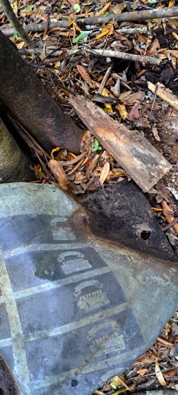
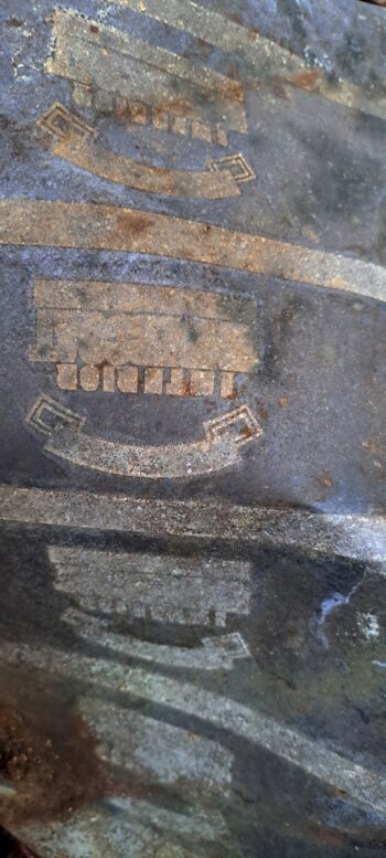
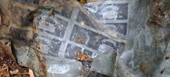
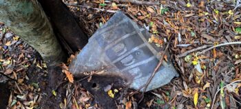
The discarded tin tiles bore a distinct emblem or logo with the word ‘Interior’ being visible. (This is a different brand of interior tile to that which is at the Black House.) The existence of this tin suggests something a bit more luxurious than a shed perhaps and more akin to the Black House. Also, I started to think the artefacts from lower site were probably part of this site, but storms had washed them down with some of the material ending up in the unnamed creek below, to eventually be washed away forever down adjoining Skerretts Creek.
Having captured images of this second location, I proceeded to explore further uphill, only to find nothing of interest. Descending back down the gully and in the creek, I found the journey challenging due to the abundance of vines. Deciding to abandon the gully, convinced I wouldn’t discover anything noteworthy, I went back up the hill and over to losely retrace my steps back on the hill, except heading down in the opposite direction. The goal was to search for additional artifacts around the two sites I had previously identified. Despite the revisit and not uncovering anything new, I was content, recognizing that it would help me remember the locations for next time, if I chose to return at another time.
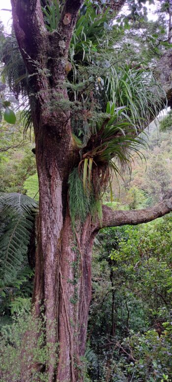
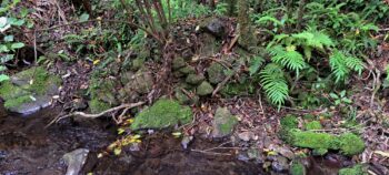
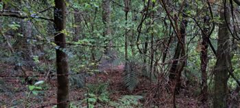
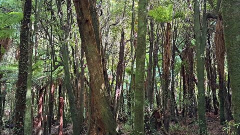
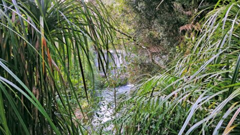
Descending the hill further, I instead took a more direct line down, that bypassed the Black House site. This led me through an area with some old giant beech trees and other species. These were clearly not harvested by the Sinclair family during their logging activities in the 1880s. This observation is also corroborated by the same 1942 aerial photo and helps locate the precise location from an aerial view. Continuing on, my path eventually brought me down to Skerretts Creek.
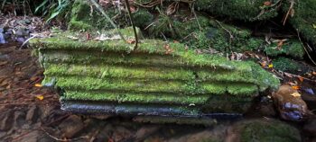
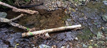
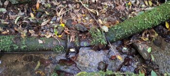
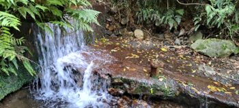
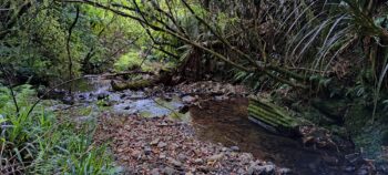
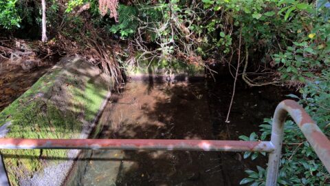
Once this was over, I decided to proceed up Skerretts and reached the lower weir that I had seen before on other explorations. Continuing upstream from there, I ventured into a small area of the creek I hadn’t explored before. There, I stumbled upon an intriguing ribbed artifact resting on the creek bed. Its unusual shape sparked my curiosity. For a second, I wondered if it could be a piece of the Kittyhawk plane wreck, rather than a remnant of the old water catchment system. But that idea was rejected when I got closer. I tapped on one side of the object and it produced a distinct metallic sound, yet the other side was concrete. It was likely a component of the waterworks scheme that operated here in the mid-1950s. The ribs on the side of the artefact might have accommodated small water pipes. Perhaps it was a filter or an intake?
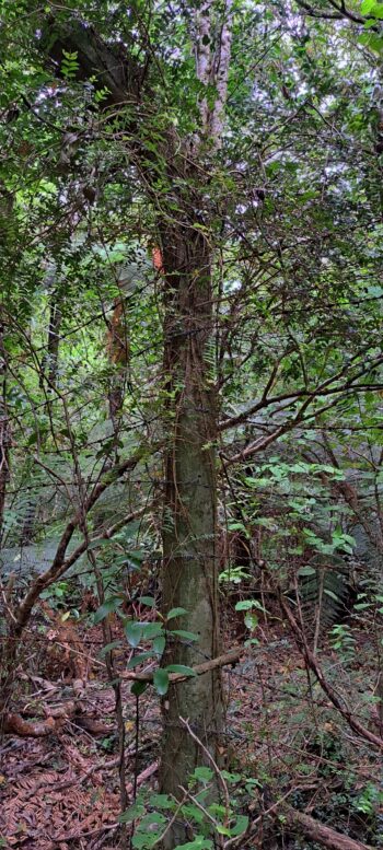
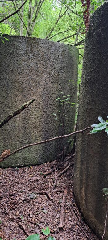
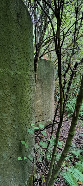
I then ventured out of the creek and came across the old barbed wire fence that was used to stop people venturing into the water catchment area when the water scheme was operational, some 70 years ago . Following that, I walked up the lower Whakanui to the two abandoned water tanks and walked around them. From here, I walked through the bush to the old barbed wire fence posts near where I was earlier and took photos of them. The barbed wire was anchored into the ground and was as secure and tight as it was when it was constructed in the mid 1950s.
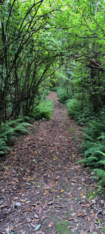
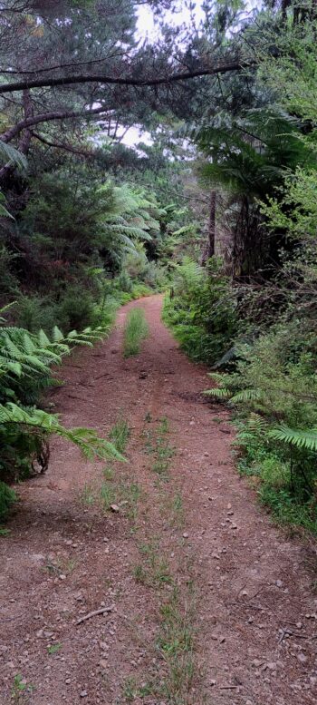
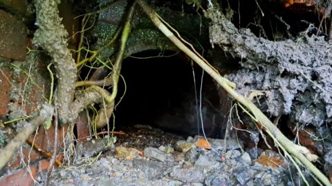
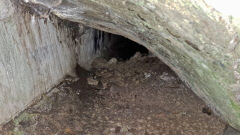
I then made my way up the hill behind the posts until I reached the nearby Mount Crowther Track. There, I explored the two disused water tanks along the track. Afterward, I continued down the trail back toward Sunny Grove. Along the way, I discovered a small creek, which I followed for a bit, and then I came across an abandoned pipe before finally arriving at the Sunny Grove terminus.
Overall, this exercise session went well and my legs and arms were a bit sore. Furthermore, my recently acquired boots demonstrated both comfort and dryness, even after traversing several creeks. Now I think my boots are ready for the upcoming Kittyhawk expedition, but my body begs to differ at the moment. Let’s see where I go next.

