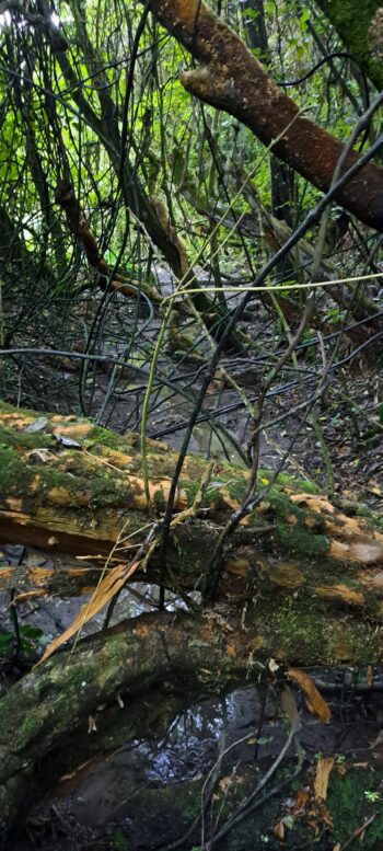
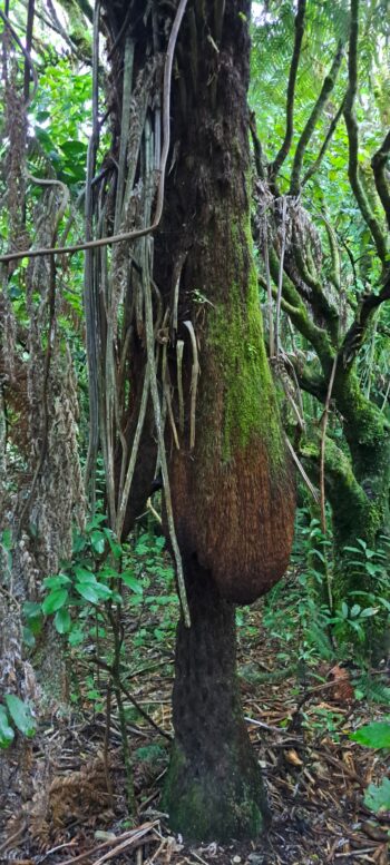
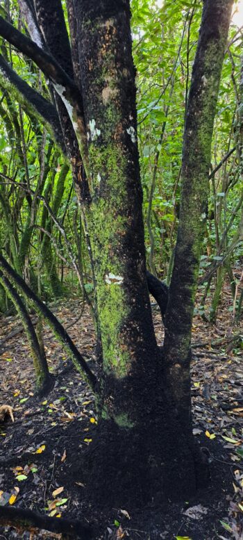
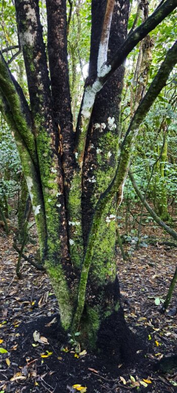
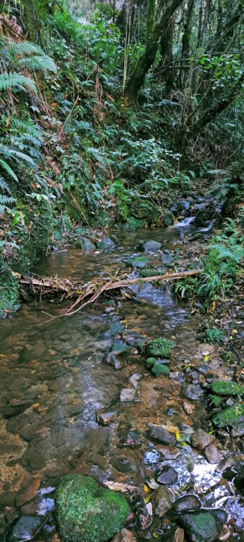
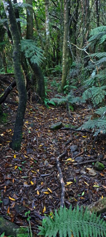
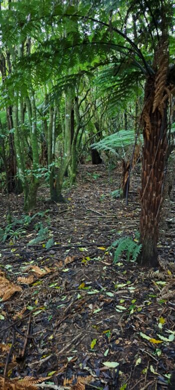
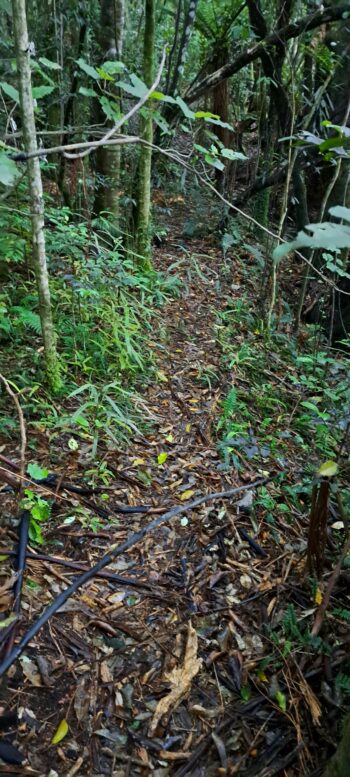
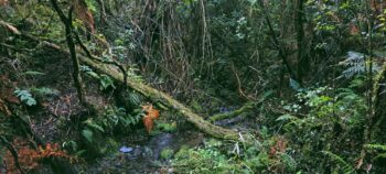
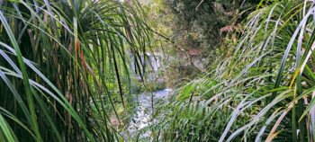
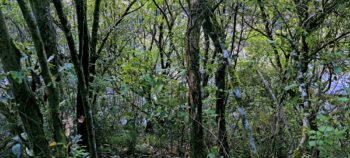
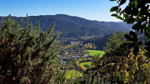
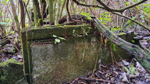
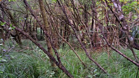
I went off the beaten path in Reservoir Valley to try and find an old track to Lower Dam.
Today, I decided to revisit an old trail I explored over 50 years ago. As a child living in Sunny Grove, my favorite place to explore was Reservoir Valley, right behind my house. Back then, Gums Loop Meadow was pasture where horses grazed. You could stroll along the grassy area all the way to the south side of the Wainuiomata River at Lower Dam. Nowadays, this isn’t really possible, but anything is achievable if you’re determined enough. So that was my mission today: to see if I could walk all the way to Lower Dam, starting from Gums Loop Walk and excluding Reservoir Road as that was out of bounds when I explored the area as a kid.
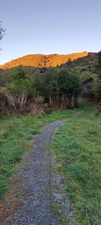
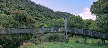
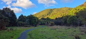
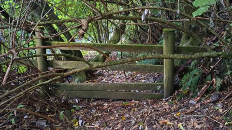
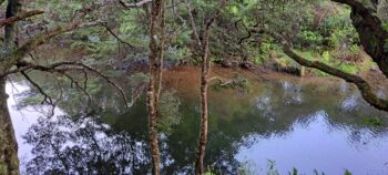 I walked along Gums Loop Walk behind Top Pool and through Gums Loop Meadow and then turned off the track onto a smaller sidetrack to Swing Bridge Pool where I took some photos. I then walked around the pool and along a grass track to photograph the old Swing Bridge. From here it was onto Sledge Track where in no time at all, I veered off track and into the bush near Wainuiomata River after seeing an old fence in the distance. This was a spur of the moment decision as it was onroute to Lower Dam and I thought I might be able to find remnants of some old cottages and huts that existed in the area, which was once known as The Terrace.
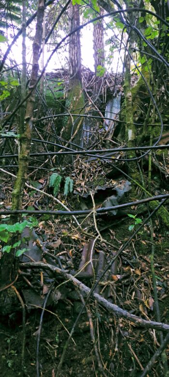
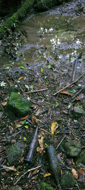
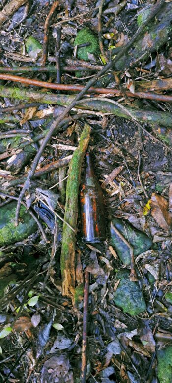
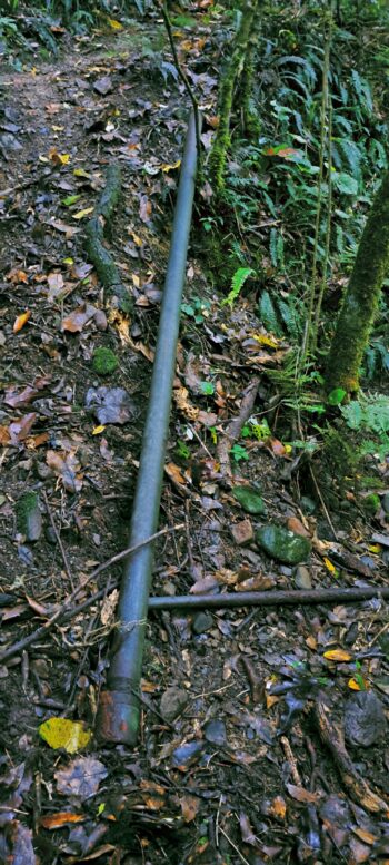
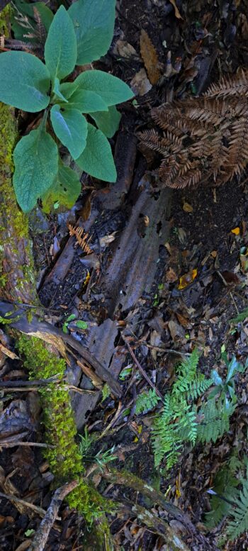
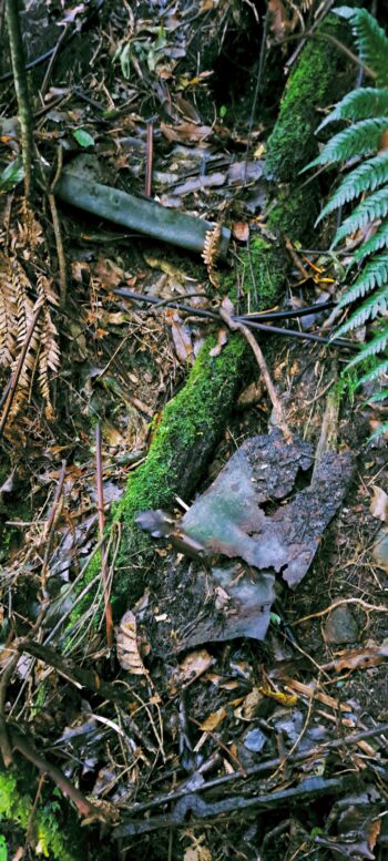
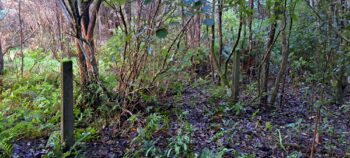
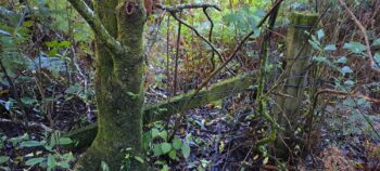
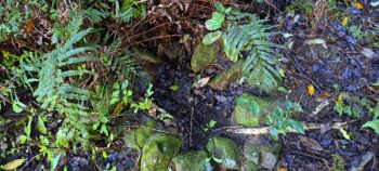
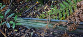
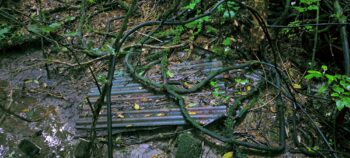
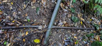
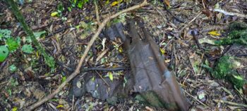
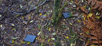
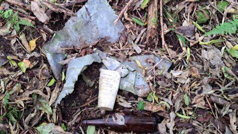
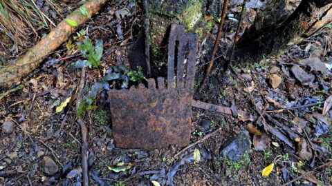
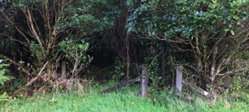 The fence perhaps indicated that this was the site of a hut, known as the Pearson/Scout Hut, which existed until 1995. I descended a slippery bank and quickly noticed remnants of mostly half-buried corrugated iron sheets. Additionally, I found some metal poles and a large metal object whose purpose I couldn’t determine. The area was a mix of bush and swamp, but I managed to steer clear of the swampy sections as I walked through.
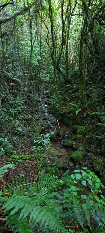
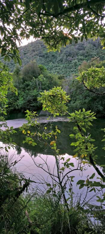
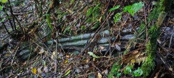
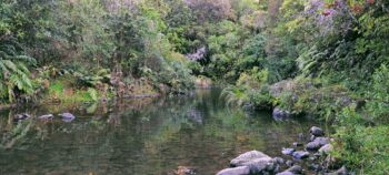
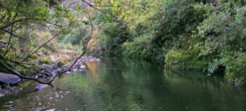
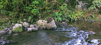
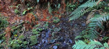
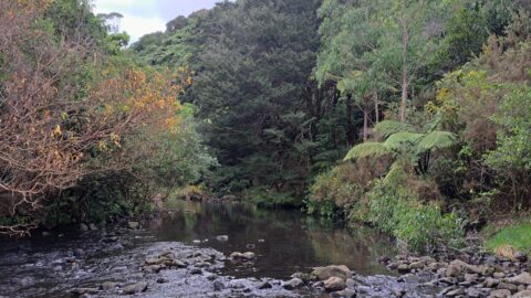
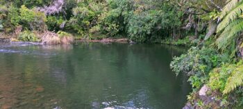 Eventually, I emerged from the bush onto a sidetrack off Sledge Track that takes you to Sledge Track Pool, also known as Discreet Pool, which got that name back when this area was off-limits to the public. As I climbed a bank to get onto the sidetrack, someone walking by saw me climbing up and asked if I was okay, probably wondering why I had come from there. After a chat with the guy, I took some photographs of the pool and downstream too as I could see another pool and an old pipe between, that was probably once part of the waterworks further upstream.
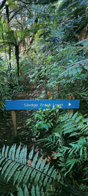
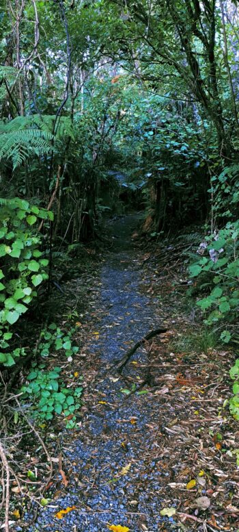
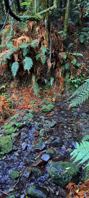
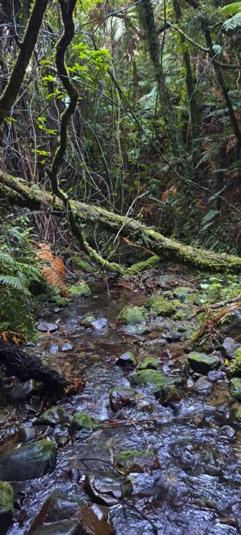
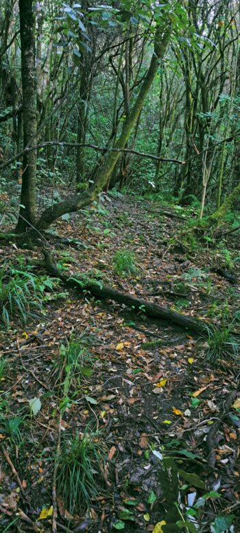
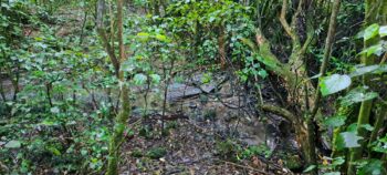
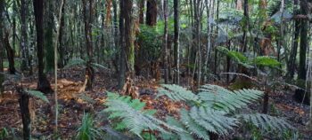
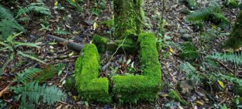 From there, I walked along Sledge Track for a bit until I reached a sign at a junction pointing right, with a smaller track to the left. I took the left track, which quickly led me to Sledge Creek. After crossing the creek, I continued through a pleasant, flat area of bush that was quite easy to navigate. Further in, I saw what looked like an old track that repeatedly seemed to peter out, then start again. Before I crossed over a further unnamed creek, I saw what looked like remnants of an old chimney, but it could also have been an outdoor firepit, although looking at the photo now, I can see a pipe coming from it. Perhaps this is all that was left of an old cottage or hut. I could probably answer that question myself if I bother to look at some old aerial photos of the area.
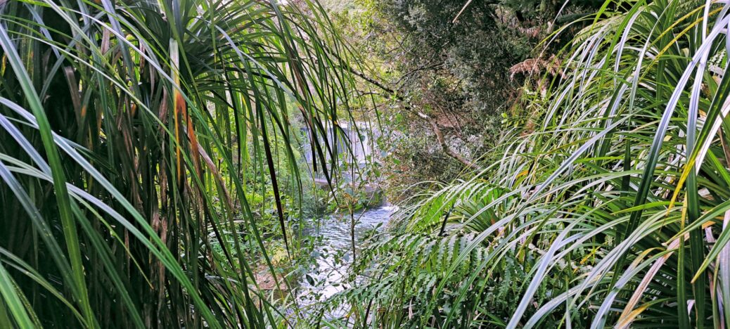
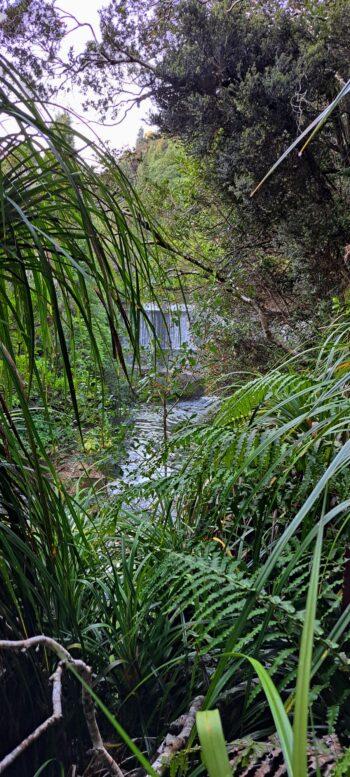
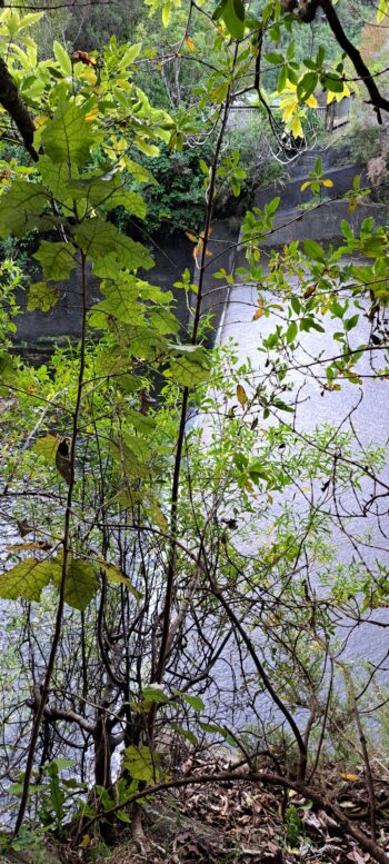
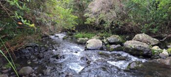
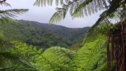
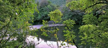 Further on, I could hear the rush of rapids or a waterfall. This suggested that I was likely close to Lower Dam, so I pressed on. The Wainuiomata River then ran along the hillside forcing me up its steep slope. Amazingly, there was a track here, but hard to spot at times and precarious. I followed it and then could see I was above the cascades of the dam. However, the vegetation was too thick to get a decent photo, so I decided to descend where a creek flowed down the slope. I had to use small trees to anchor myself at times and in a one area where the vegetation was thinner, I was able to take a few photos, albeit partially obscured by trees.
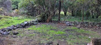 Once I had some photos, I ascended back up and along with another photo opportunity, then followed the track along the steep slope, and headed back into the flat area of bush and eventually crossed back over Sledge Creek. At this point, I wondered if I had enough light in the day to do the rest of Sledge Track, the sun was near setting and I decided to walk back to Gums Loop Walk instead. I took some photos of the Mackay Cottage site onroute and headed toward home at which point I jogged out of the park part of the way, to get some extra exercise and to also exit while there was still some light.
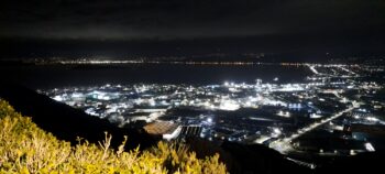 On the way home, I stopped at the car park on the summit of Wainuiomata Road. There was one spot available, as many people were taking photos of the aurora due to a solar storm. I couldn’t see anything unusual with the naked eye, except for a white glow above central Wellington. I couldn’t tell if it was the aurora or just a reflection of the city lights against some low cloud. I still got a great shot, but whether it was the Southern Lights or the Wellington Lights remains a mystery. Apparently, you need a camera with a good lens and you need to use a slow shutter speed. My camera is my phone, so I probably fell way short of capturing it. Anyhow, another great adventure and a good workout to boot. I think my next journey will be somewhere nearby and deep in Reservoir Valley, as there is still plenty of terrain there left to explore.

