My mission today was to find remnants of a tramway system from Naenae to Wainuiomata.
 Today’s hike was set to be a bit different as I planned to start my trek outside of Wainuiomata. The idea was to scale the eastern hills at Naenae and end up in Moores Valley, with the goal of discovering remnants of a tramway. The Strand Brothers, who operated mills in various locations around Wellington during different years, once ran this tramway around 1907. A rail cart used to descend the hill behind the location of Rata Street today. It was powered by a winch stationed at the top of the ridge. The Strand Brothers stated that they were astonished by the abundance of native timber at the head of Moores Valley in Wainuiomata and puzzled as to why earlier loggers hadn’t tapped into this resource.
This isolated area in Moores Valley is also accessible via Brookfield Lane off Moores Valley Road. There’s a gate here with an old “Private Property” sign attached, so for mere mortals, there is no way to enter this valley. And most would never think to go there as it is hard to grasp the vastness of the valley from this spot. Actually, I first glimpsed the area while walking along the high ridges of the Whakanui Track, where its expanse caught my eye in the distance. At first, I thought it must be part of the Hutt Valley, as I couldn’t imagine such a large valley lying beyond Moores Valley Road. But once I realised it was in Wainuiomata, I marked it as a place for future exploration.
Now back to the history of this place. Logging took place in and around 1907. Logs were winched out of upper Moores Valley and taken up the hill to the ridge behind Naenae, and then winched down to a mill by rail cart. For more details on this operation, you can read this newspaper article from 1907.
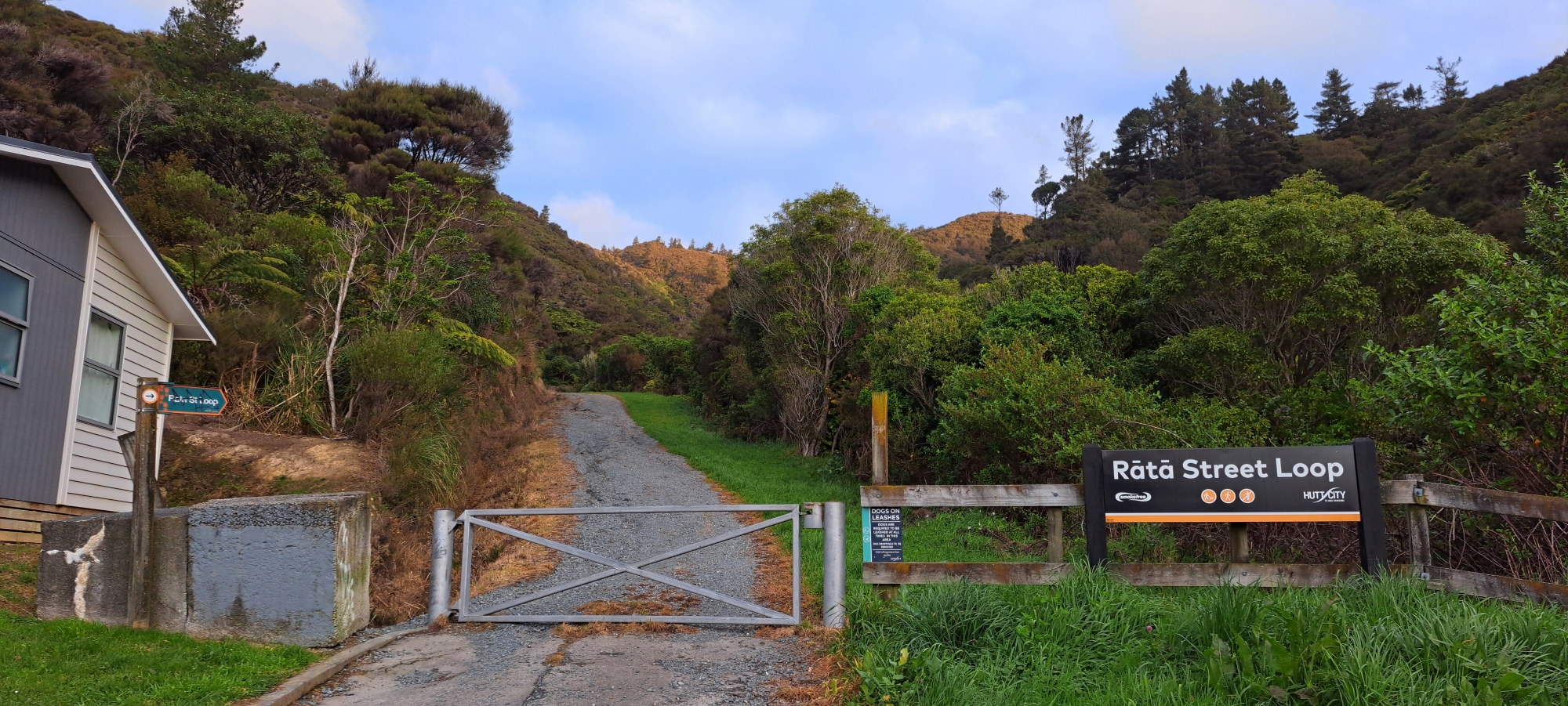 Now for my trip. I started my day by heading to Rata Street in Naenae, parking at the foot of the Rata Street Loop Track. The initial part of the walk was an unsealed road with a locked gate stopping vehicles from entering. The road ends at a water tank, and from there, it turns into a typical walking track. About halfway up the hill, the track levels off before looping back around to Rata Street. Around this point, it must cross the path where the old tramway once ran. So I left the track and bush bashed up the hill in what I thought would be the likely route of the tramway given the topography of the land. I didn’t discover anything significant except for what appeared to be an old rotting stump with a strong hue of red indicating it might have been a Rātā, Rewarewa , or a Tōtara. Surrounding the stump was low growth forest.
As I approached the ridge, I stumbled onto a newly laid track that connected to the ESNZ Track which runs along the ridge. Unfortunately, I found no evidence of the tramway on this side of the hill and began to doubt if I had taken the correct route. While I did follow what may well have been the route given the shape of the land I trekked through, I did cross from time to time this freshly laid track that takes you to the ridge. So if I was in the right place, it seems I may have been two months too late to find any hard evidence as the land here has been altered. I do have another potential route slightly to the north which I might explore on a future trip, that might yield some hard evidence, if it is the correct location.
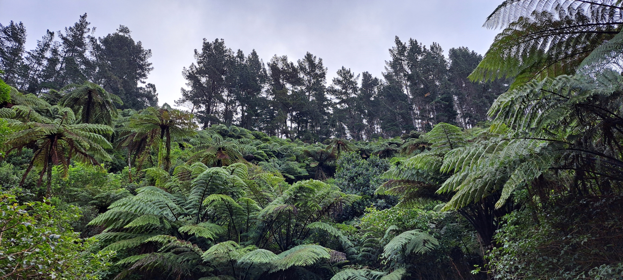
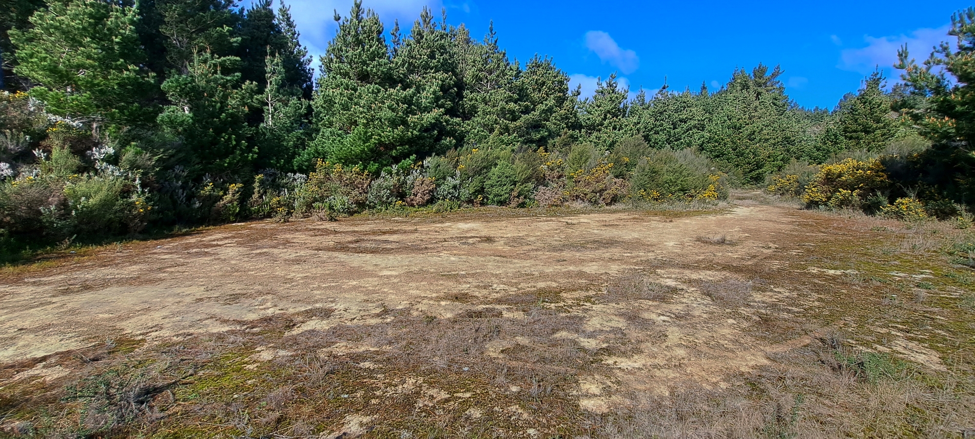 Once on the ridge at the ECNZ Track, the real mission for today was to find evidence of this tramway’s operations in Wainuiomata which is a lot more isolated from where I had just trekked. On the ridge, I encountered a wide circular clearing which might have been where the winch was once located, and it was directly above the route I had just taken. From here, I entered a pine forest on the other side of the ridge and descended the steep hill toward Moores Valley in Wainuiomata. The dense tree cover obscured any views, so it was just a matter of carefully placing one foot in front of the other to avoid slipping over and keep doing that till I reached the valley floor below. The ground was wet despite its steepness and so it was slippery due to recent significant rains. Typically, I avoid such walks after rain, but the forecast for the coming week wasn’t promising, so it was either today or wait for another week. But I needed some exercise now, so today it was.
About a third of the way down the hill, I came across two rusted drums, almost disintegrated, suggesting past human activity from decades past. Could these date back to the tramway days? Perhaps they were left when the pine trees were planted in th 1970s? Another possibility is that they were simply discarded down the hill from the wide area located on the ECNZ Track above, and were washed down the hill to their present location.
 As I continued, the steep gradient eased, but the forest floor was cluttered with rotting trees, some still standing. I learned this the hard way when I pushed over a decaying tree, which instantly crumbled into dust. Later, when I moved a thin tree out of my way, it must have dislodged a rotting trunk above me. I heard a log crashing through the trees and it hit me on the head and disintegrated as it was in an advanced state of decay. But the core was a bit more solid and it grazed my head, skimming my ear and landing on my shoulder. For a moment, I stood there, bracing for pain, but it never came. I felt fortunate, but then I noticed blood trickling from my ear and there was a small scar on my shoulder. The log may have been heavy, but it was also soft which was fortunate.
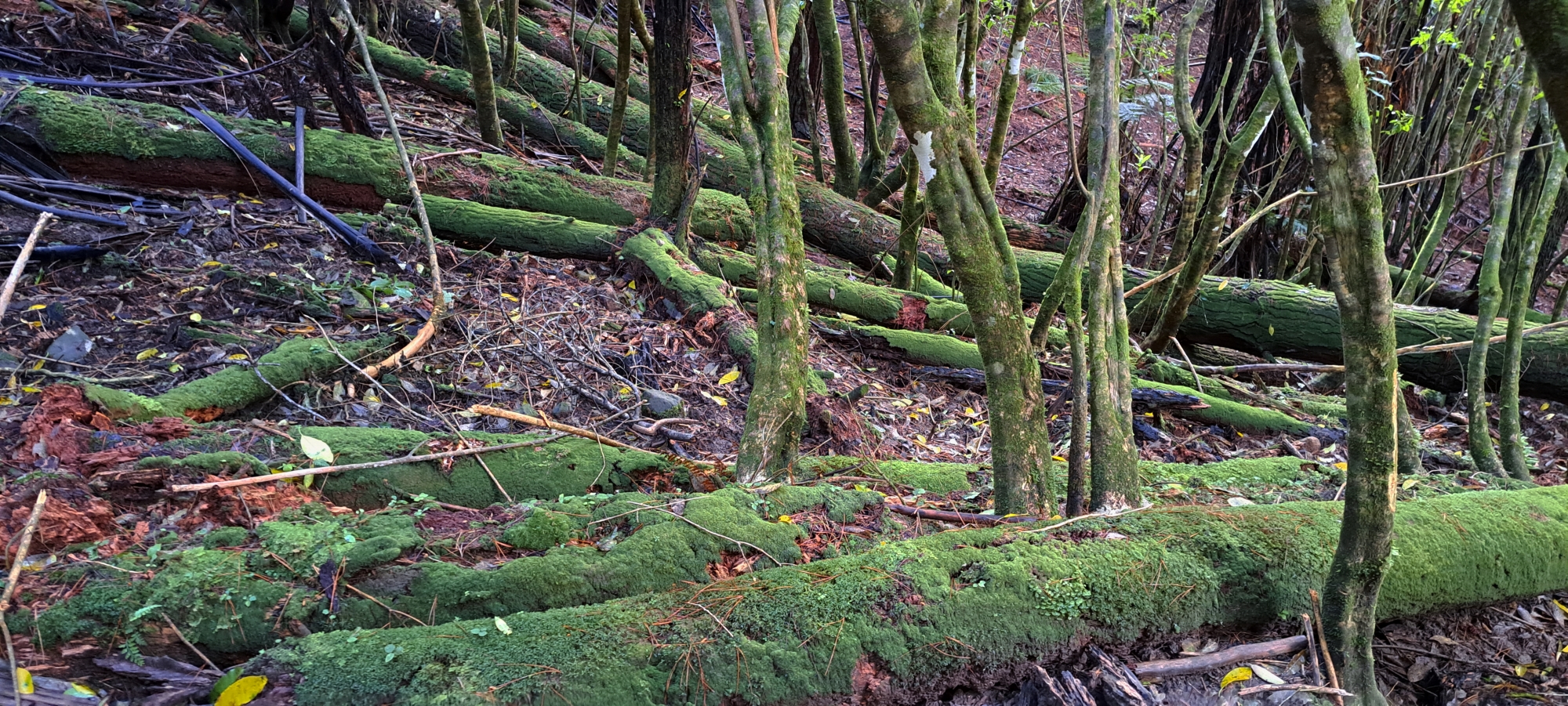
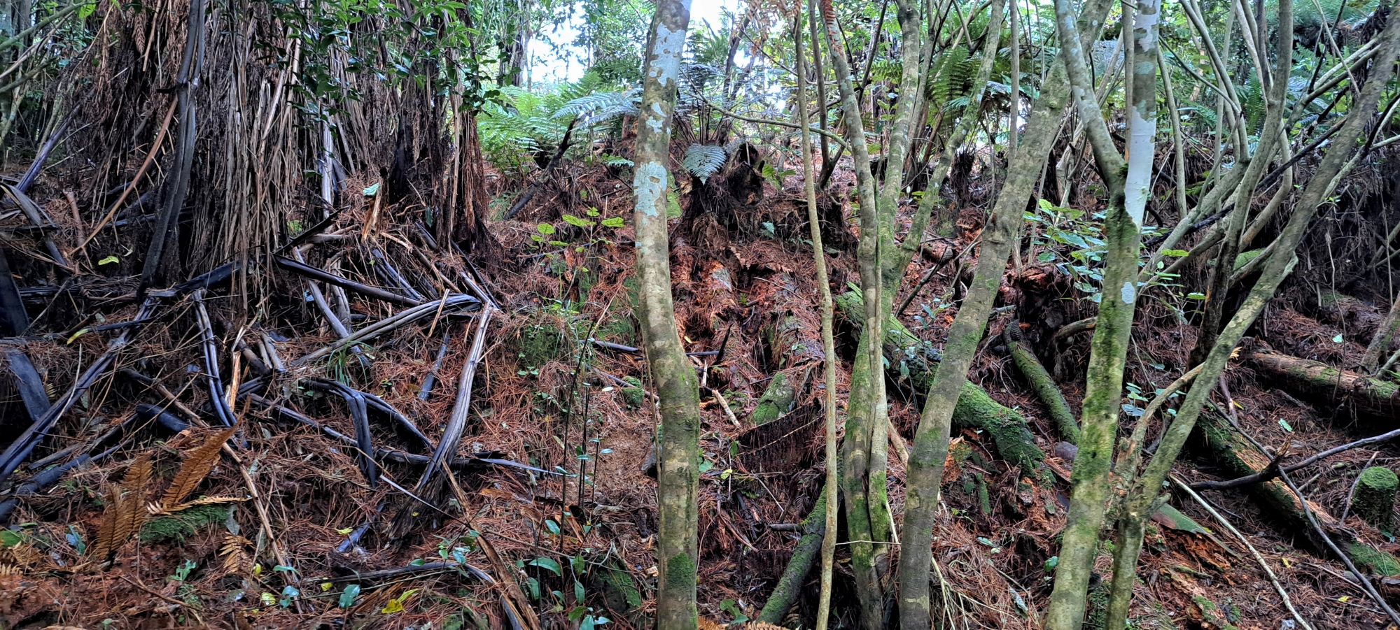
 Further down the hill, I heard running water and soon a small stream emerged. The stream joined another, which was itself a convergence of two streams. I wondered if this might be the source of Wainuiomata Stream. The land eventually levelled out and I came across an old track carved into the hillside. Could this have been part of the tramway? A 1907 newspaper article mentioned a main trunk line with lines branching off from there, which were moved around depending on where trees had been cut and were slated to be cut next. This path was in the right direction and around the correct location to be part of the main trunkline, but if I was wrong about that, it could still be part of the extended trunk lines. I was doubtful that this track during the 1970s when pine trees were planted or later if some were harvested. The pines here were very tall suggesting that they may be the original plantings and I found no stumps in this area. Besides why cut a track of this nature for dragging trees out when you could do that without the track?
 Following this old carved out track that may have been the tramway route, I eventually came out of the forest and reached the valley floor, where the Wainuiomata Stream meandered toward Moores Valley Road. I was at the head of the valley, near the ridge that separates Naenae, Whitemans Valley, and Wainuiomata. Surprisingly, there was a grass road / track here. Then I noticed a bus stop. Yes, a bus stop sign in the middle of a grassy area, next to a deep pond, just off this road. Someone with a sense of humour had placed a bus stop sign here, so waiting for a bus to get me out of this valley was not an option.
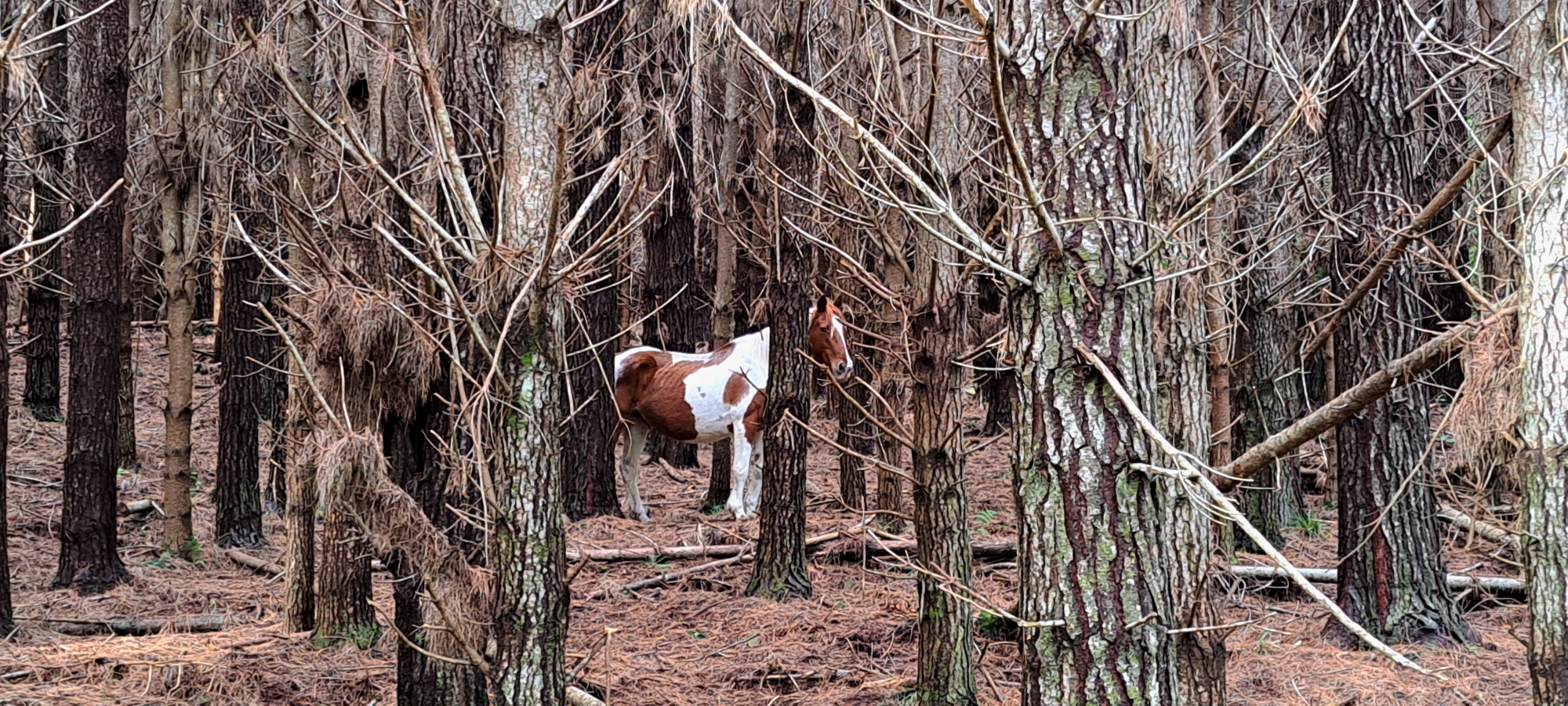 I then had to choose which direction on the road to take. As I pondered, I spotted an old shed in the pine forest and headed towards that, which determined my direction on the road. The shed was all boarded up, so I moved on, following the road as it initially led in the direction of Brookfield Lane. However, the road turned back on itself and veered up the hill towards a large pylon in the direction of Whitemans Valley. So, I turned around and headed in the opposite direction on the road, in order to head south toward Brookfield Lane and Moores Valley Road in the distance. Along the way, I noticed a beautiful brown and white horse in the forest and took a couple of photos. It looked a bit mystical in this isolated setting, perhaps it was a unicorn that had lost its horn?
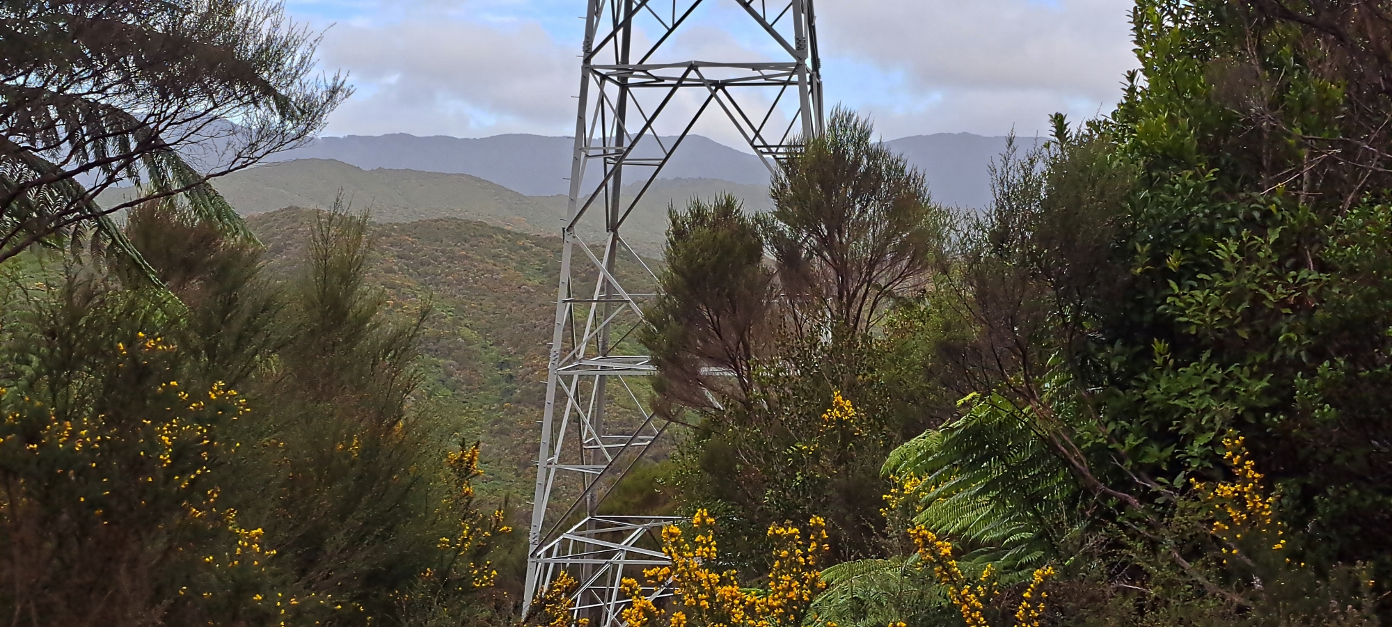 The road began to climb up the hill, and I realised it was there to service multiple electrical pylons that crossed over the valley. I pressed on, noticing there didn’t seem to be a track along the valley floor below, so this road was probably my best option, especially considering that the valley floor was a bit flooded from recent rains. The valley floor was also the location for the Wainuiomata Stream which flowed through swampy conditions surrounded by sodden grasslands, dotted with thick large patches of gorse and toe toe or pampas. I realised I was just too far back in the valley to connect with a large farm that has an entrance on Brookfield Lane. I may trek through here in the summer though, when the landscape has dried out.
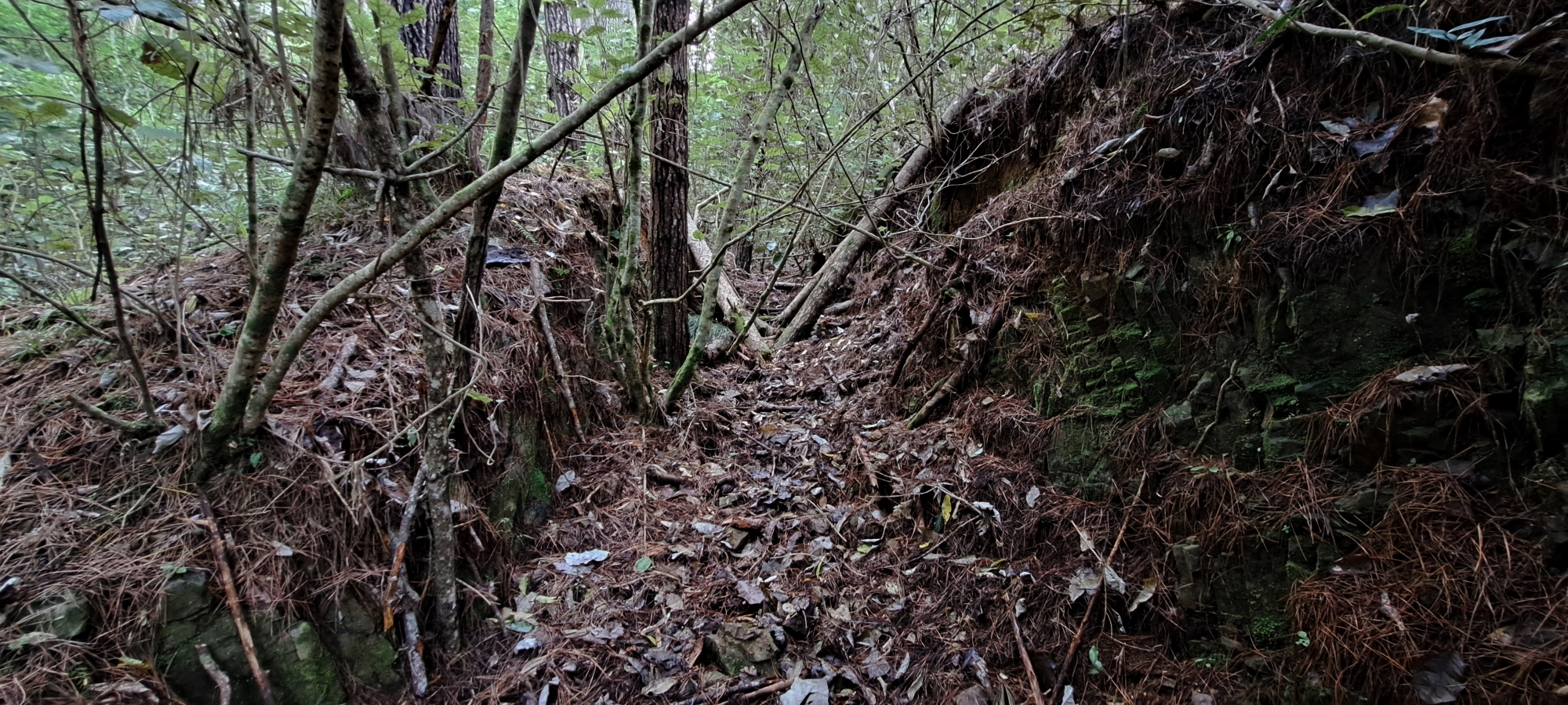
 The road / track I was on began to descend and even here, I saw evidence of a possible tramway track in the forest above, which looked cut out from a steep bank. This could have been one of the branch tracks off the main trunkline. I didn’t follow it, but faced a decision. Should I head down to the valley floor again, hoping to find a track to the farm or perhaps end up on the farm itself. Or should I veer off the road and ascend the steep hill above, to get back on the ridge and the ECNZ Track? I chose the latter, reasoning that if I returned to the car in Naenae, my transport home would be sorted. Otherwise, if I continued down Moores Valley, I’d have to figure out how to get back to Naenae where my car was parked. But I was a bit concerned now as it was 4:30 p.m., with maybe two hours of daylight left. The hill looked challenging as it was still really high, despite me being half way up the hill. It was also steep and covered in dense bush.
 I entered the bush and started climbing. I did manage to avoid areas of dense vegetation and climbed up through random areas where there were more pine trees, making for an easier ascent. Eventually, I reached what I thought was the top, only to find more thick bush and not the ECNZ Track I was expecting. I was a bit lost at this point and thought I must have veered off on an angle to the ridge I was trying to reach. I scouted around for a view to get my bearings and saw that the ridge I was on was connected to another ridge which was probably the ridge I needed to be on. I walked toward the section where the ridges joined. Yes, it was in the wrong direction compared to where I was earlier on the ECNZ Track, but at this point, my priority was getting on the correct ridge and track as it would certainly make my life easier and there would be more light due to being above the thick forest.
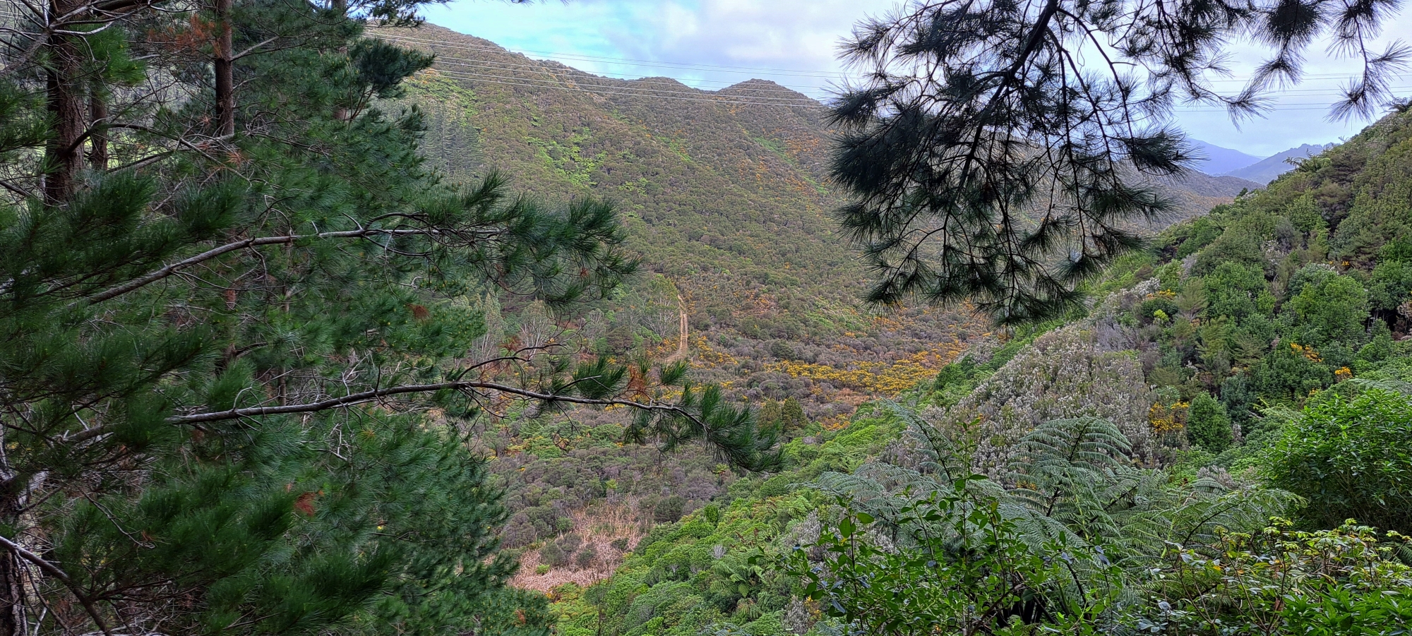
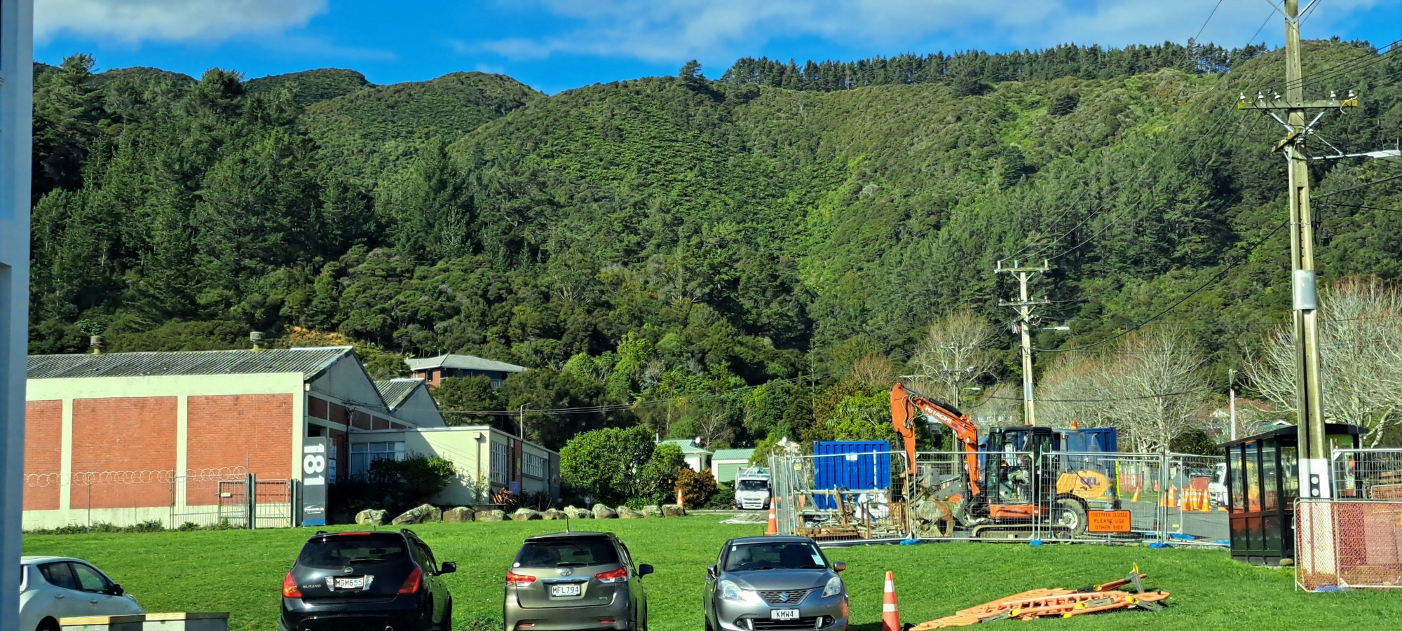
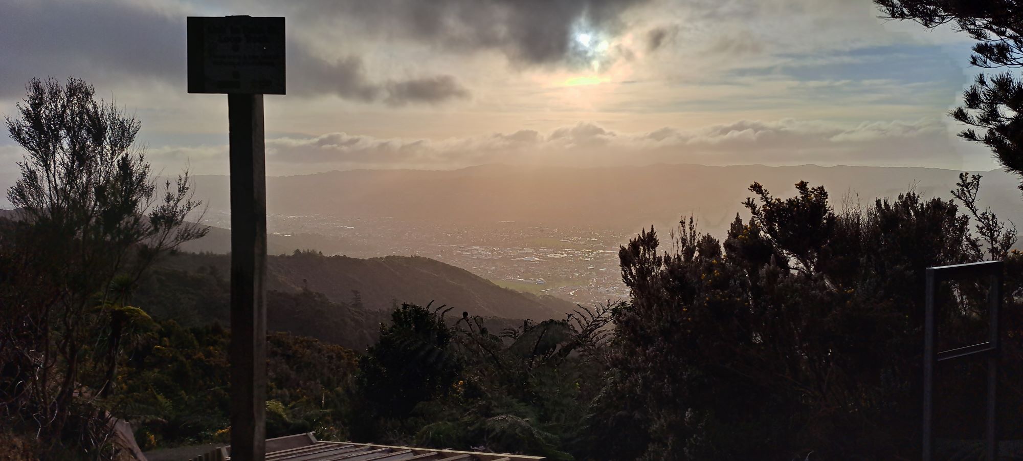 My cunning plan worked. I connected to the correct ridge in quicker time than anticipated and I found the ECNZ Track. Although the track was overgrown in places and I started to doubt if it was the ECNZ Track. However, I eventually reached the spot where I suspected the tramway winch had been located. This was also the spot that I had descended towards Moores Valley to begin with. From here, I could take it easy and head down the final hillside toward my car. I decided to walk down the newly laid track that led down to the Rata Street Loop Walk. The views were pretty good. I could see the old Avalon Studios building and Fraser Park from up here, a place I would visit the very next day to watch my son play a football match.
On the way down toward Rata Street, I noticed the sole of one of my boots was hanging off making it a bit hard to walk. I bought these boots about a year ago, around the same time I started this website. They lasted through 28 bush-bash adventures. When I got back to the car, I tossed the boots into a rubbish bin and I noticed I wasn’t feeling too good. I hadn’t eaten all day since I wasn’t feeling that great in the morning, so a lack of food might explain it. Once I got home, I took a warm bath and then fell asleep on the couch. Honestly, I felt like I might be getting too old for this shit. But who knows, my next adventure might make me feel young again.


