Today was set to be a different kind of bush-bashing adventure—yes, I know I always say that! But this time, it was different for two reasons: I had a colleague join me, and we weren’t embarking on a long journey. Instead, we planned to explore a small area due to time constraints, along with the fact that recent heavy rains had left the ground soggy, making a more ambitious outing impractical. So, I chose to explore the area just below Sinclair Cemetery, a spot I’d been wanting to closely look out for a while, but was saving it for a day just like today. This area sits below the bank on the western edge of the cemetery, spanning two properties in Sunny Grove. Here, Skerretts Creek flows north, with houses perched on elevated ground above it, leaving the lower parts of the properties as untouched bushland. My curiosity about this area was driven by two reasons.
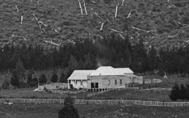
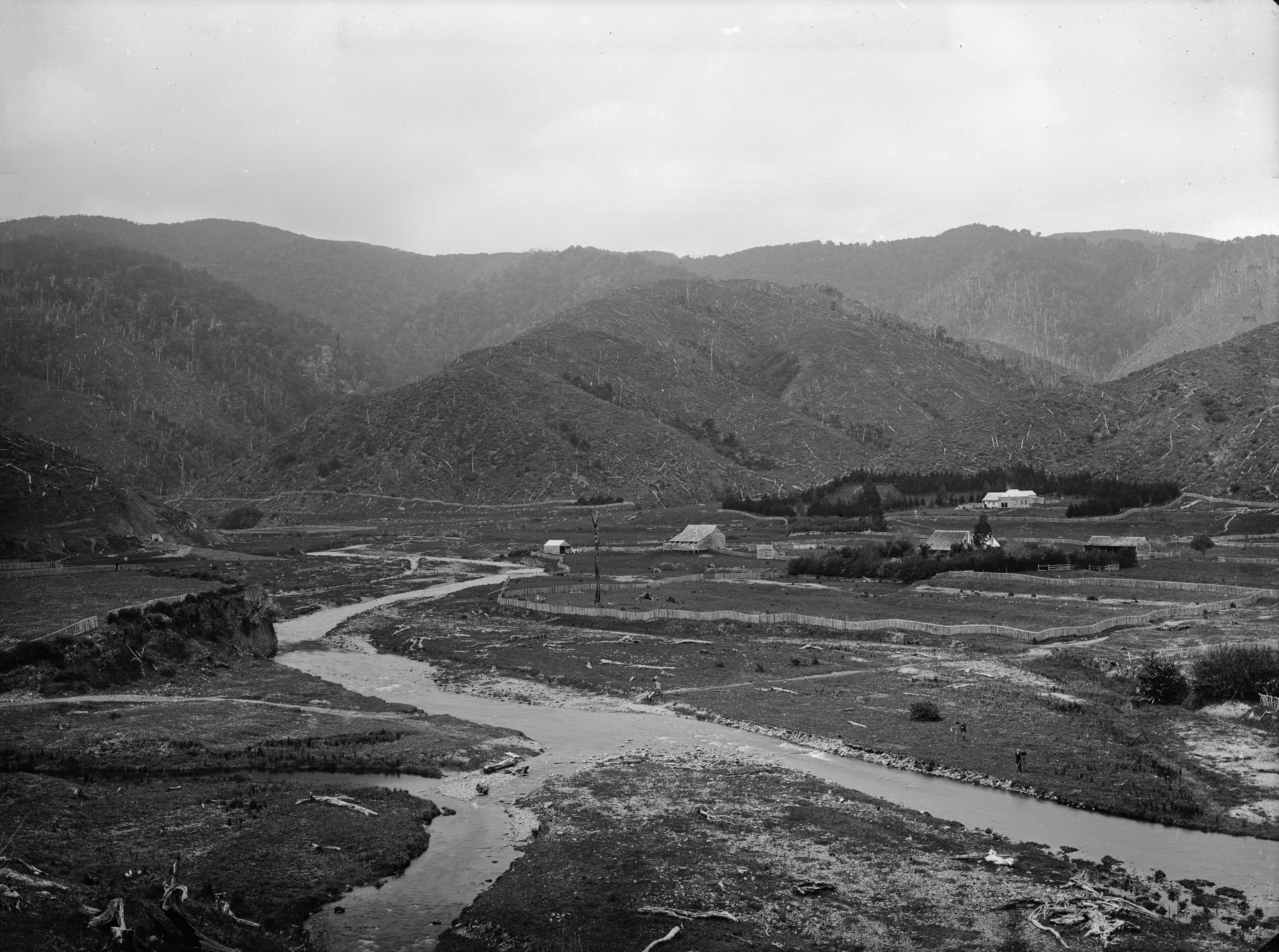 In an 1880 photograph taken from The Rock, looking out over what is now Richard Prouse Park, you can clearly see Sinclair Cemetery, with its distinct fence and trees surrounding the grounds. When zooming in on the western side of the fence, there appears to be a feature that looks like an entrance to the cemetery. However, given the steepness of the bank, it seems unlikely that an entrance would have been located there. The second reason for my interest was a concrete platform on one of these properties, which a resident had mentioned to me. I had permission to check it out.
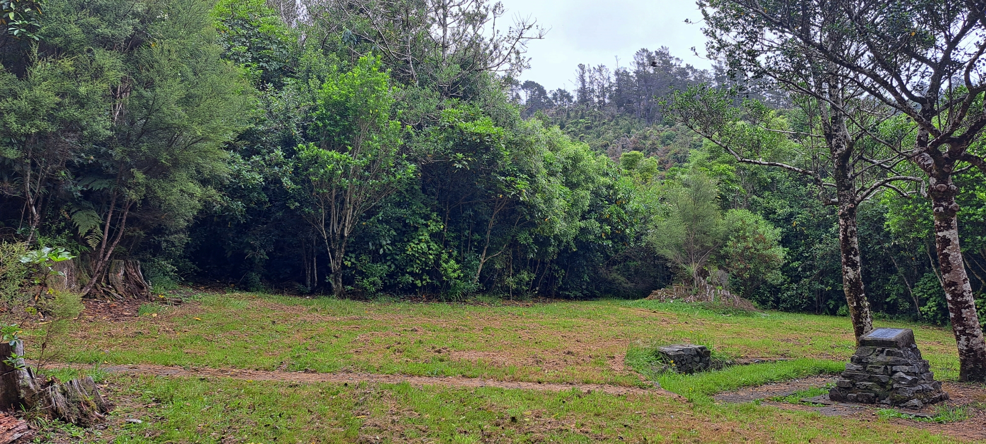
Today was the day. After picking up my colleague, we drove to the Hine Road Recreation Area, parked, and headed towards Sinclair Cemetery. I started by mentally mapping out the cemetery, noting four old macrocarpa tree stumps in each corner and using diagonal lines to locate the centre, which indeed matched the location of a modern stone cairn and plaque. I then observed the perimeter of holly trees, which formed a rough rectangle, while the macrocarpas outlined a more square shape. I had previously noticed that the southern line of holly trees were surrounded by bush, unlike the others on the site, and I was curious about this difference.
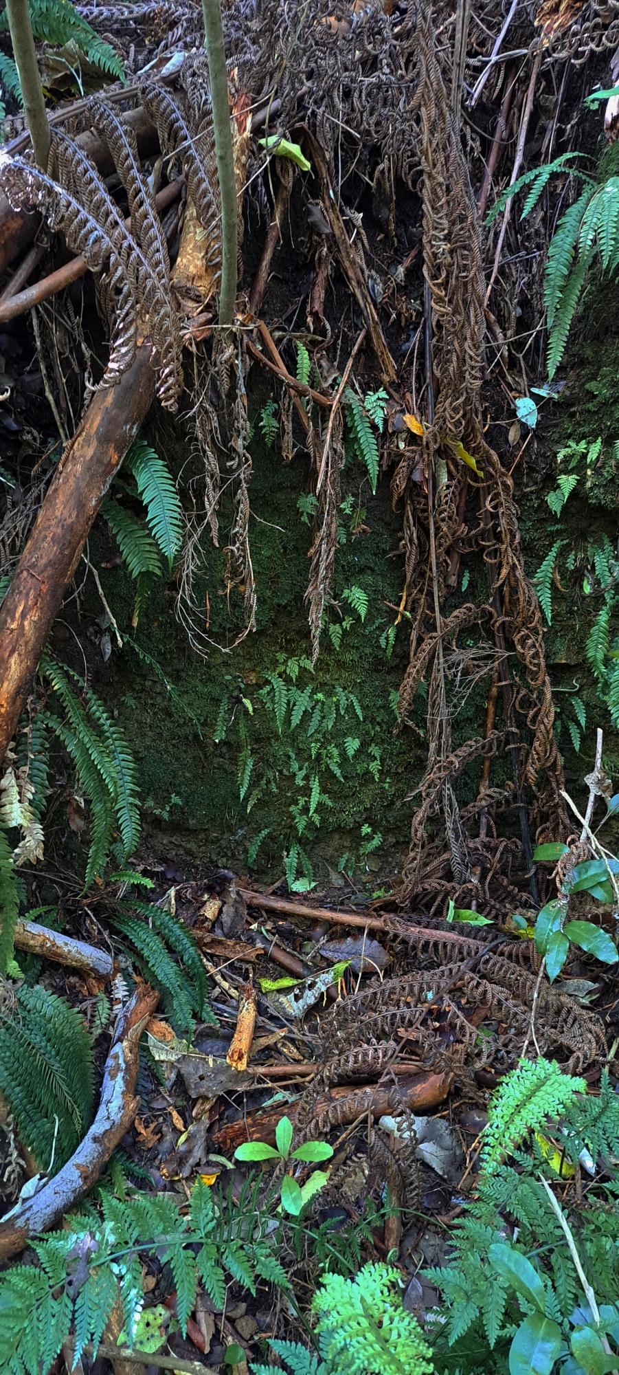 Next, we looked over the edge of the steep bank to the private properties below. I was quite familiar with the area, having lived in one of these properties as a child. The section of bank on the southern end of our property and into the neighbour’s property has always been the easiest way to access the cemetery, even in the late ’60s and early ’70s. However, on this occasion, we took a more challenging route down the bank by heading toward the southern line of holly trees within the bushland. Once inside, we followed what appeared to be an old track leading towards the bank and the private properties. There seemed to be two cuts in the bank, providing a tricky but manageable descent. Once at the bottom, we were on private land, and it was time to search for the concrete platform. It didn’t take long to find, as it was situated at the base of the cut bank.
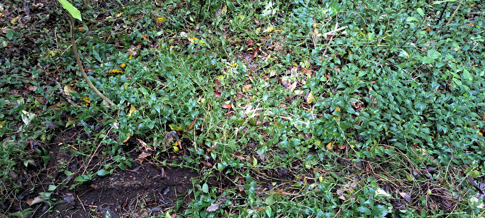 Upon closer inspection, the platform was roughly the size of a large grave, with my colleague lying down on it for a photo to give a sense of scale. The corners were shaped to hold posts or columns, suggesting that this was once a small structure. I later reached out to long-time residents of the area. One was my father, who moved to Sunny Grove in 1966 as the original home owner of his house which occupies one of these properties. He was unaware of any structure down there. Of course, the neighbour who had told me about the platform also didn’t know its history, hence the reason for telling me about it. The next neighbour along, was the original owner of his house too. He recalled the area being mostly bushland, except for a pool that my father and his neighbour built next to Skerretts Creek, where they stocked trout. My father also built a bridge across the creek on his property, but like the others, he had no memory of there ever being a small building or structure on this site.
The platform is difficult to spot unless you’re deliberately looking for it, as it’s well camouflaged by leaf litter and a thick mat of ground-cover plants. It seems to have been in this state since at least the late 1960s. I never noticed it while growing up, even though I passed through the area often. This suggests it predates housing in Sunny Grove, unless it was constructed during the early development phase.
Before Sunny Grove was subdivided, the land was farmland leased by Cephas John (Jack) Cullen. Prior to that, it was owned by John “Jack” Wakeham, and before him, by the Sinclair family, who logged the area in the mid to late 1800s and lived at their homestead, Glenhill, near the cemetery.
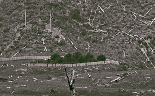 Returning to the 1880 photograph, the feature that resembles a cemetery entrance, despite the steep bank, paired with the cut bank, track, and concrete platform, raises intriguing questions. Was there once an elaborate entrance to the cemetery here? While it seems unlikely given the steep terrain, the Sinclair family’s wealth, abundance of wood, the proximity of Glenhill, and the presence of infrastructure from before the housing era, all suggest that something existed here. The mystery remains.


