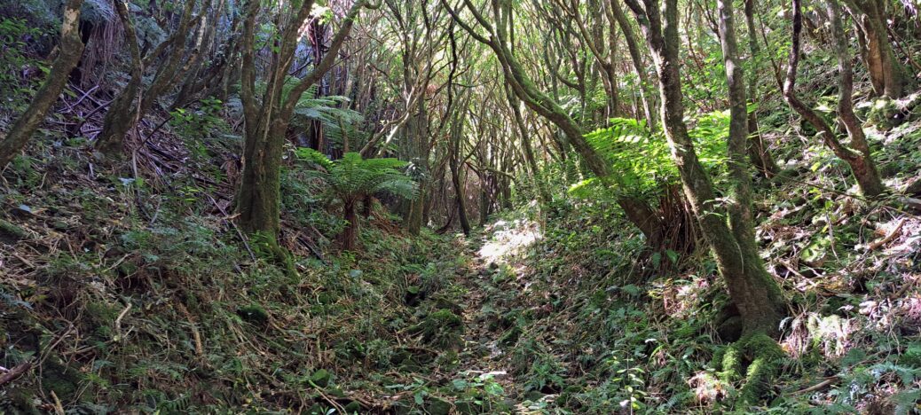
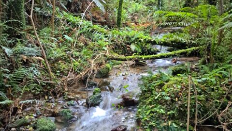
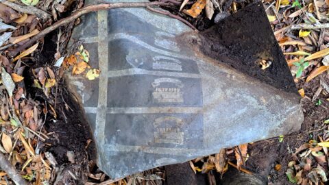
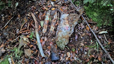
After completing Bush Bash 31, I immediately embarked on another, starting from The Rock on Moores Valley Road, where I had parked my car. From here, I had already explored the last section of Wainuiomata Stream and now it was time to follow a smaller stream further west that flows down The Rock. I later found out that this stream is called Dynamite Creek. As with most streams and creeks, this one provided a clearer path towards the ridgeline compared to navigating through dense native bush. The area I was going to explore is within the boundaries of the Wainuiomata Scenic Reserve.
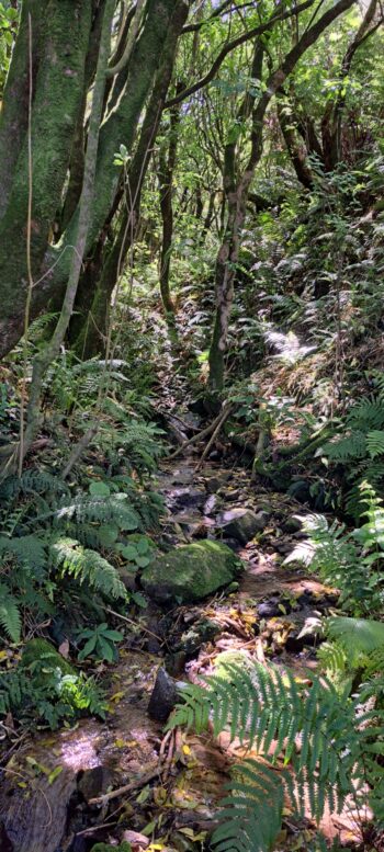
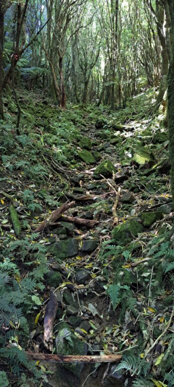
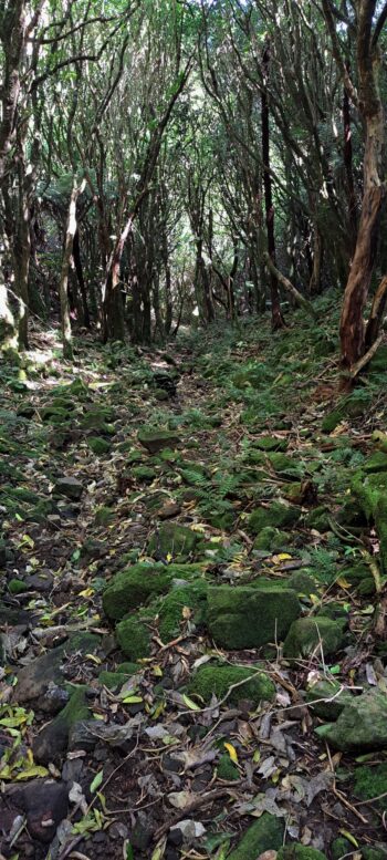
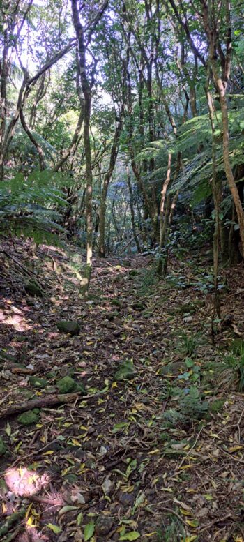
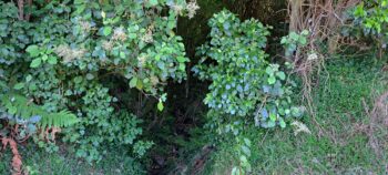
 After finishing this morning’s bush bash, I paused for lunch before heading up the creek which flows under Moores Valley Road and empties into the Wainuiomata River. The walk wasn’t particularly difficult, as the creek bed consisted of rocks and some boulders, with sparse vegetation, making the walk more open. There was also a rough track beside the creek bed too. My aim was to go beyond the creek’s source to see what lay further on. About a third of the way up, the creek split into two, and I followed the branch that continued in the main direction until I reached the ridgeline.
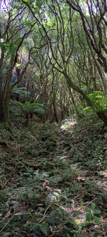
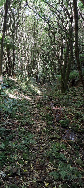
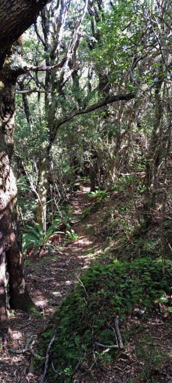
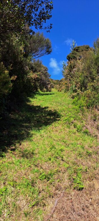
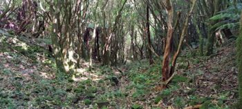
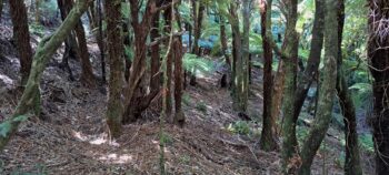
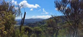
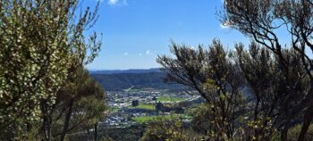
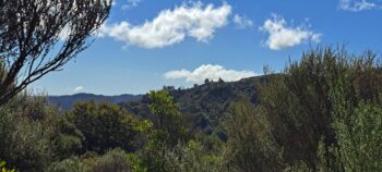
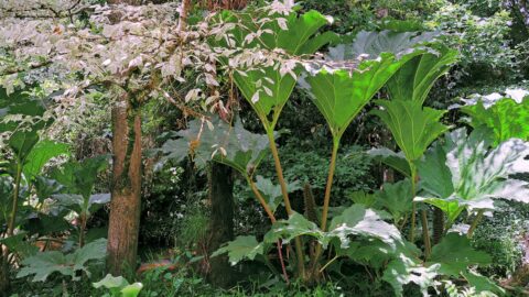
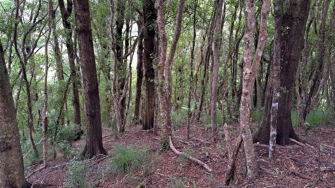
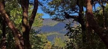 To my surprise, on the far side of the ridge, I encountered large trees, mainly beech and tawa, while the ridgeline itself was covered in manuka and kanuka, likely thriving in the greater sunlight the ridge provides. A narrow, rough track stretched westward along the ridge, so I chose to follow it. Eventually, I reached a point above Hair Street, where I had views looking west over Wainuiomata, including Parkway, The Wainuiomata Hill, a wind farm near Makara, and even the South Island in the distance. I predicted that continuing to walk the track would have taken me towards the Wainui Centre Mountain Bike Trail, but I realised it would be dark before I returned to civilisation, so I turned back. I had after all completed another bush bash earlier in the morning, so this was an afternoon walk.
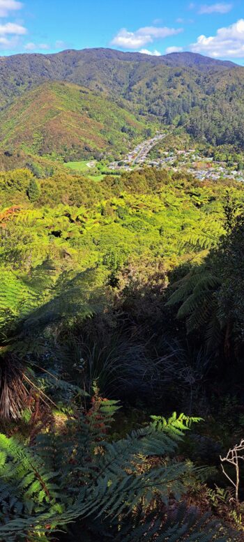
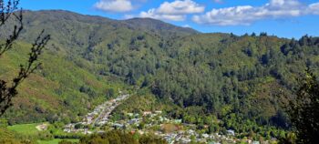
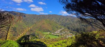
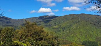
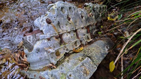
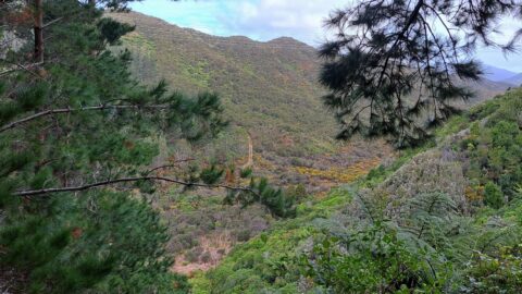
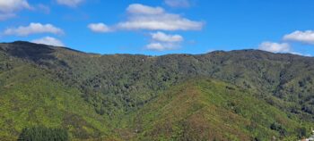 On my way back along the track, I discovered a side track branching off the ridge trail that I hadn’t noticed before, and since I’m not a fan of retracing my steps, I decided to take it. The track hinted at great views, but trees obscured any views I was hoping to get. Eventually, the track crossed the top of a gully, revealing a stunning view of Sunny Grove, Hine Road, and McKerrow Ridge in the distance. I could also see the hills where Skerretts Creek flows, and the approximate location of a 1943 plane crash. It felt like I had a pilot’s view of the range.
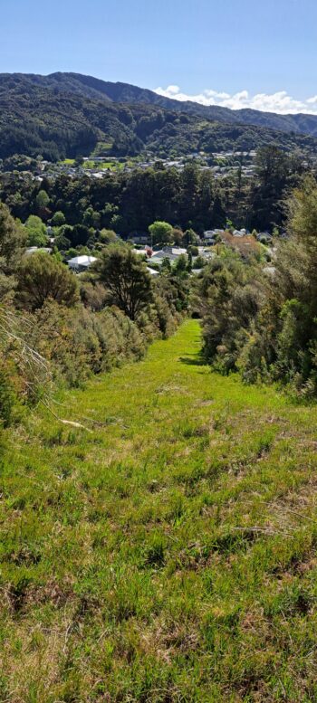
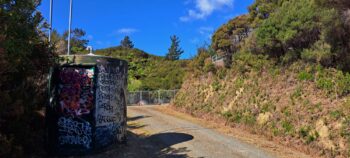
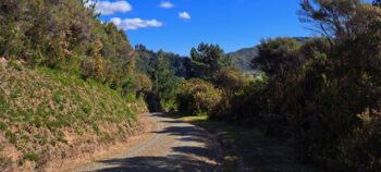
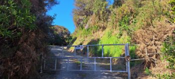
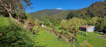
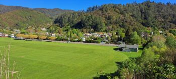
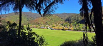
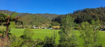
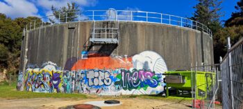 Further along, another opening provided a similar view before the track descended, leading towards Hair Street. I soon reached the Gawler Reservoir, then Gawler Grove, and finally Hair Street. From there, I made my way back to Moores Valley Road, stopping to snap some photos of the Richard Prouse Park pipeline and views over the Wainuiomata River, towards Richard Prouse Park, Hine Road, and Harry Todd Recreation Reserve.
By the time I was back in the car, after completing two bush bashes, I felt sore but content with the exercise and the photo opportunities.
Reflecting on this bush bash, I realised I had underestimated the size and scope of this wilderness area called Wainuiomata Scenic Reserve. It has much more to offer than I had thought, and I’ll definitely be exploring it more in the future.

