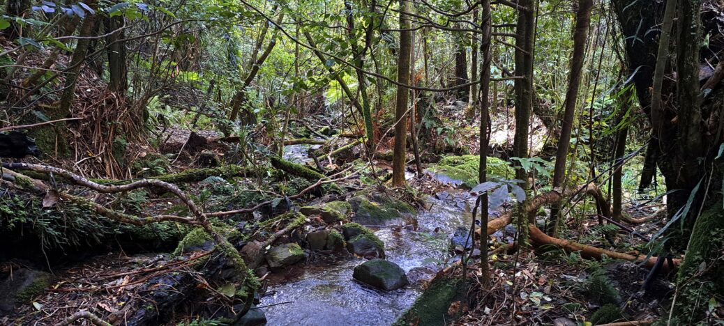
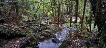
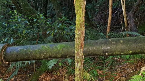
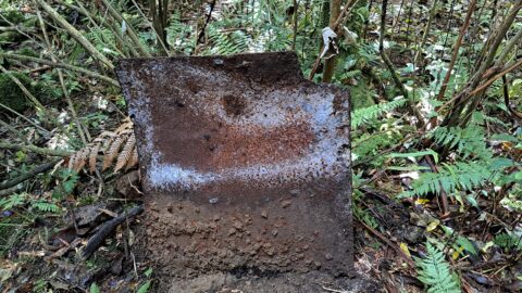
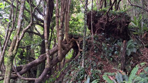
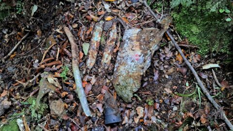
Today, I set out to explore the last few outlying areas of Sledge Track and Sledge Track Creek that I hadn’t covered in previous trips. On past excursions, I had ventured beyond Sledge Track, following what seemed like an old trail winding deeper into the valley. I eventually turned back when the path began to fade, though there was still a small hill I hadn’t crossed, which might reveal more beyond. As it was getting late, I left that final section for another time, and today was the day. I’d also previously ventured up some of the tributaries that feed into Sledge Track Creek. Why, you might ask? Because this track holds historical significance; it was once used for logging in the mid-to-late 1800s, with bullocks with sledges hauling logs from the forest. I wondered if any remnants of those logging days lay hidden in the forest.
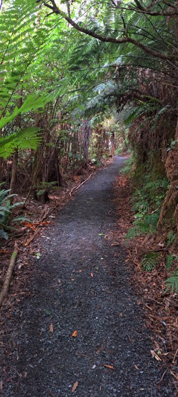
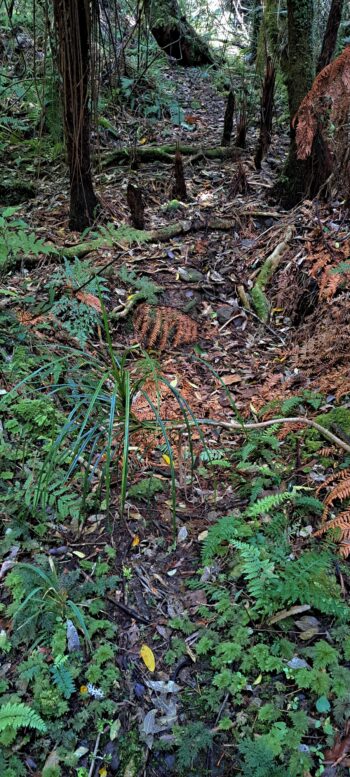
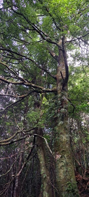
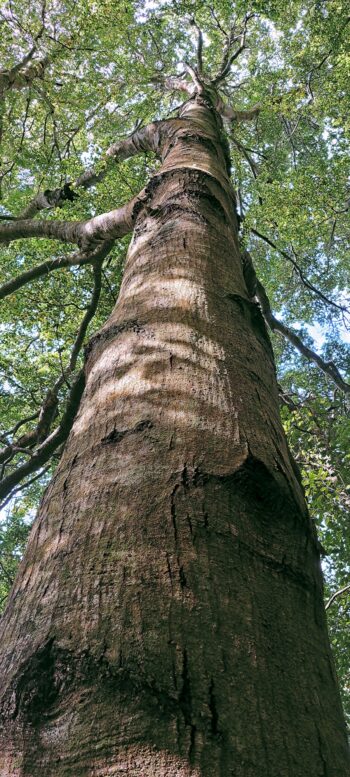
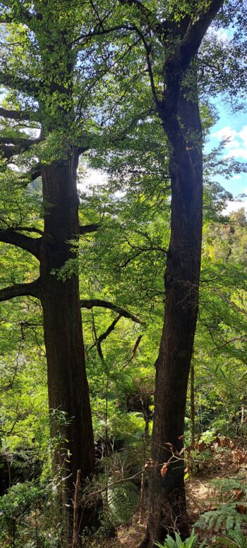
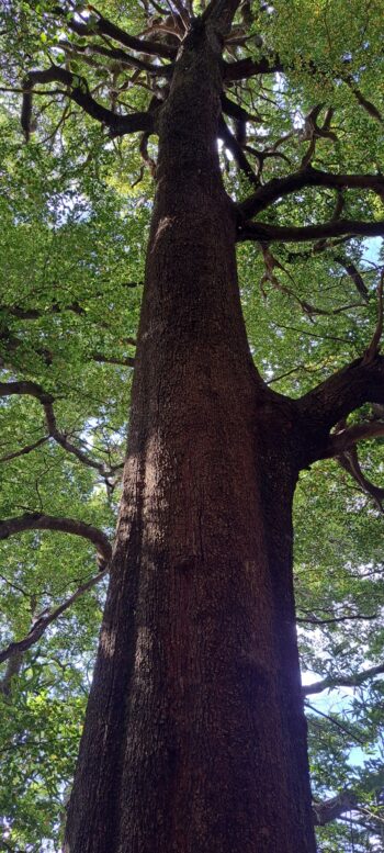
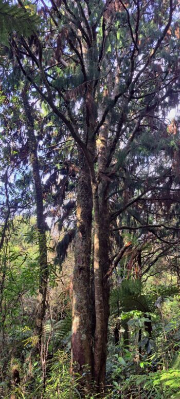
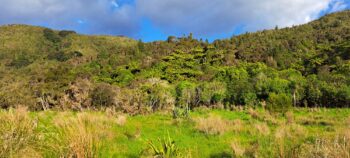
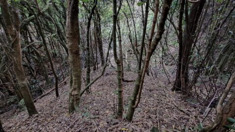
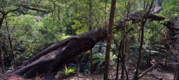 I began along Gums Loop Walk until I reached Sledge Track, where I took the right-hand path after the first fork. Further along, I started bush-bashing between the tracks of the fork. There wasn’t much to see there aside from native bush, so I eventually re-joined the track and continued until I encountered a sign marking the way. Often, such signs are meant to deter walkers from veering off onto an old track beyond, and sure enough, there is one here. I had already explored it on a previous adventure though, but this time I followed my previous footsteps until I branched off up the eastern hillside. The larger trees there made the vegetation less dense, making it easier to walk further into the valley.
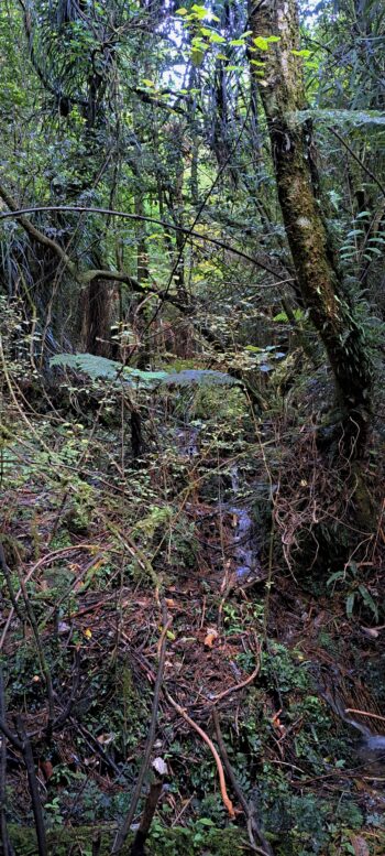
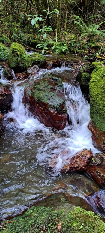
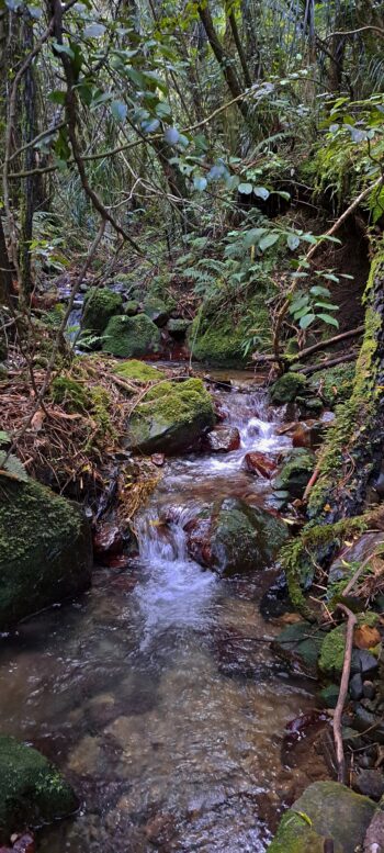
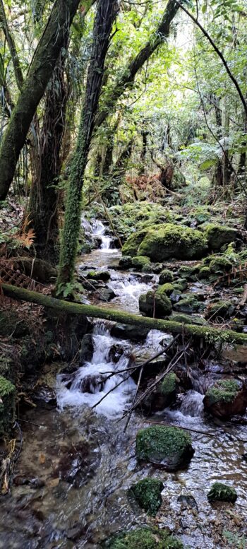
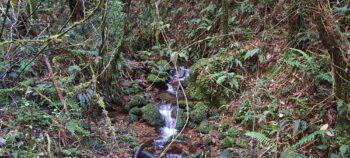
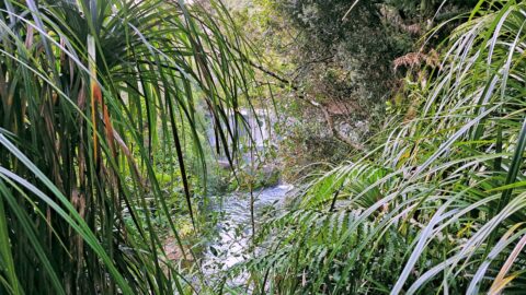
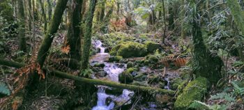 Descending back down to the valley floor, I continued upstream, where the creek divided into two narrow gullies, each of which split again into tight gullies. I decided to cross each one, only to find them all choked with thick supplejack vines, with the terrain too closed in to support the large trees that would have attracted loggers. Seeing little reason to press further into any of these gullies, I opted to turn back.
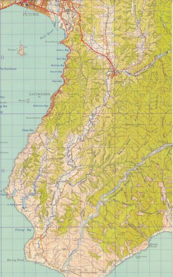 On my way back, I glanced across the valley and spotted the eastern slope, thinking it might be worth climbing one day. The top of the ridge once held a historical route known as Solomons Track, which connected with the Whakanui Track. So, while I didn’t uncover any hidden relics or mysterious ruins today, I came away with an idea for another journey on a fine day in the future.
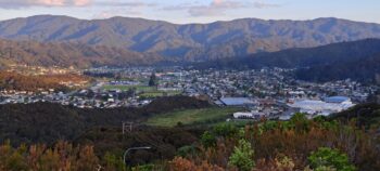
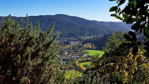
But the adventure wasn’t quite over. On my way back over the Wainuiomata Hill, I decided to stop for a quick, complimentary photo, capturing the sweeping views of Wellington Harbour and the Wainuiomata Valley.

