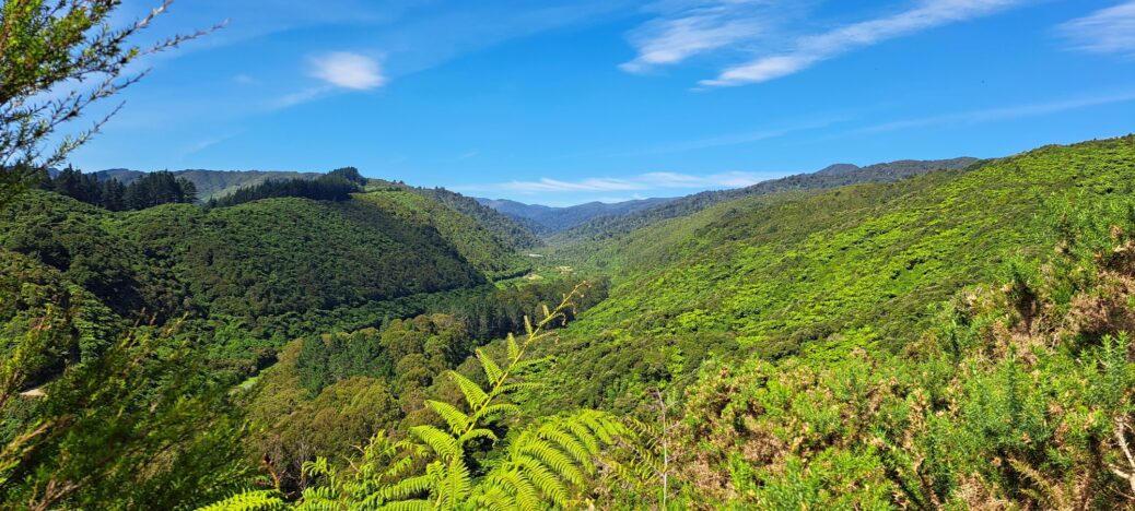
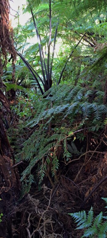
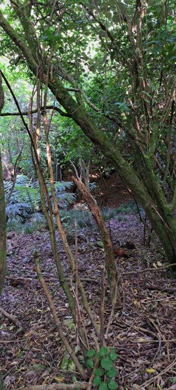
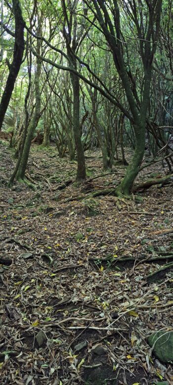
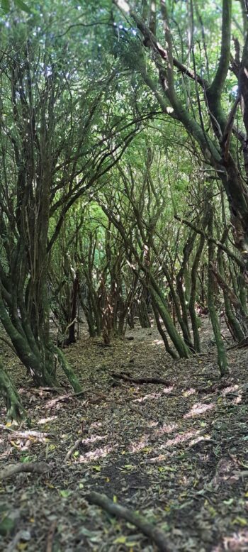
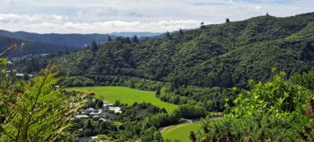
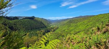
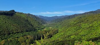
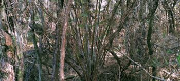
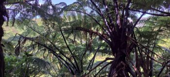
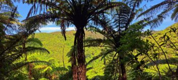
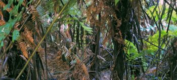
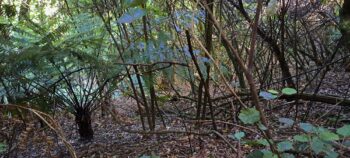
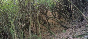
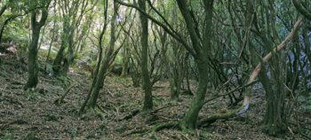
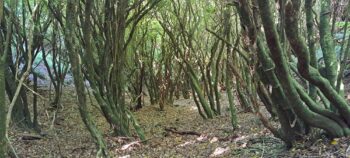
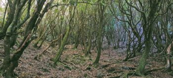
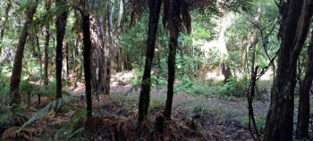
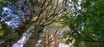
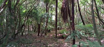
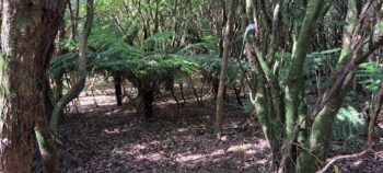
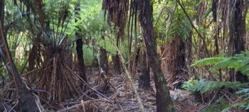
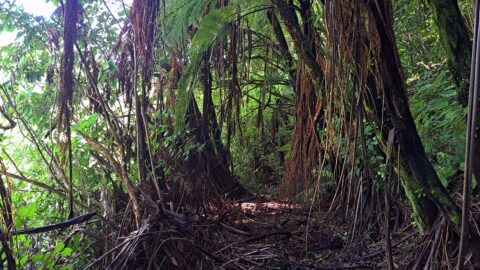
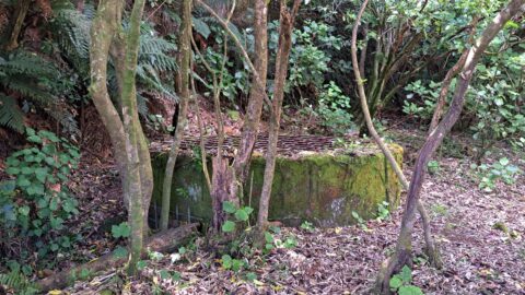
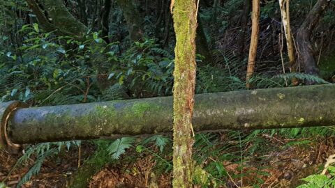
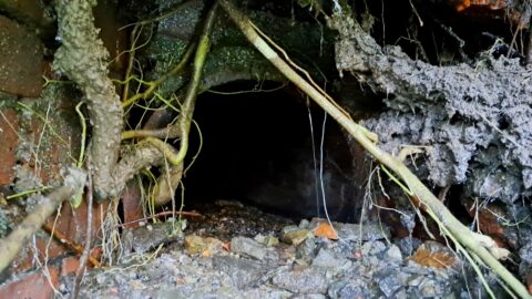
Starting at Sinclair Cemetery, I climbed the hill behind Sunny Grove to capture photos of the landscape.
In Bush Bash 1, my first attempt at bush bashing as an adult, I decided to tackle the hill behind the odd-numbered properties on Sunny Grove, a hill I had climbed many times as a child. On that occasion, I only made it halfway up the hill, following an old firebreak overrun with gorse, which made for a challenging ascent. On the return leg, I decided to traverse along the hillside to find an easier descent and discovered a narrow gully with a stream. That was when I learned an important lesson: walking in gullies is often easier than navigating spurs, as gorse and bracken thrive in sunlight, while native ferns and larger trees prefer sheltered environments.
Even on that first outing, I gained valuable knowledge about the bush. Now armed with two additional years of experience, I decided to attempt a similar trek in the same area. Conveniently, I also needed to visit a family member on Sunny Grove to assist with an Internet issue, so I planned to combine the walk with this errand.
I arrived in Wainuiomata just after 2 p.m. and decided to visit the Wainuiomata Museum first. There, I met Lance Stewart and Dawn Chambers, both historians, with Dawn being a descendant of Wainuiomata’s pioneering Sinclair family. After a good chat, I headed to Sinclair Cemetery and explored a disused section of the Whakanui Track nearby. My plan was to follow that track, identify a gully with larger trees, and ascend it to reach the ridge for a potential photo opportunity.
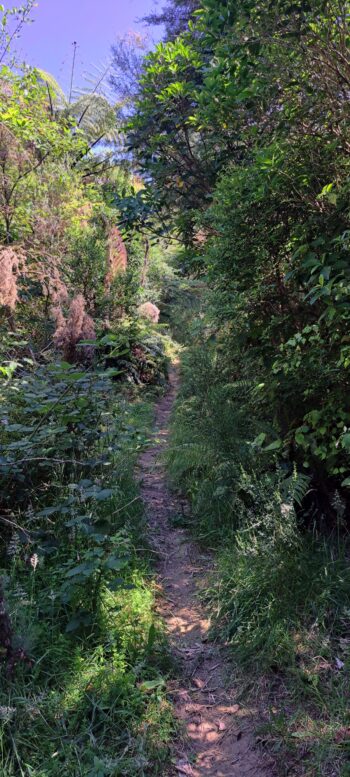
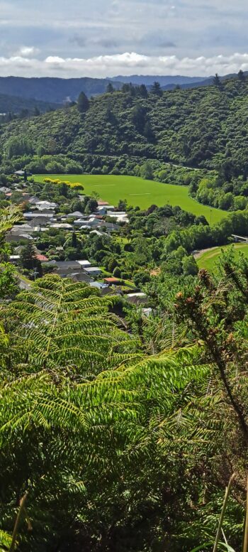
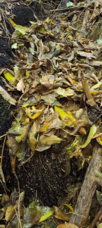
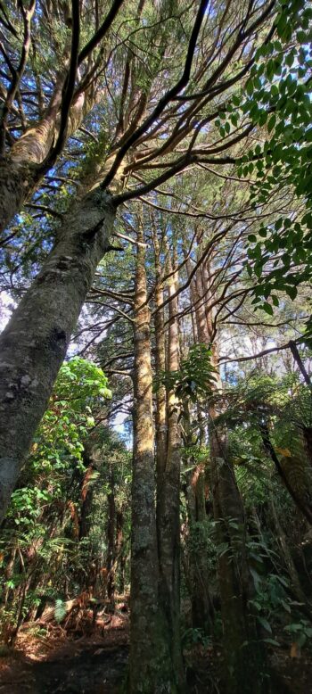
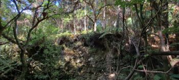
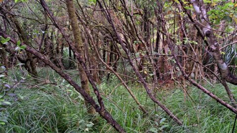
I set off and almost immediately, I discovered an open area behind some thick bush that I hadn’t noticed before which was surprising since I had lived in Sunny Grove from 1966. As a child, I often climbed a firebreak nearby, which was now overrun with gorse some 50 years later and no longer a practical route. I ascended through this newly discovered open area under a thick canopy of a regenerating forest growing atop a slope containing numerous loose rocks. About halfway up, it got steeper, less open, and the rocks had mostly disappeared, but there were numerous small tracks I could follow. These were likely made by animals as I spotted signs of pigs or goats in the area. As I climbed further up, the terrain became more difficult, with gorse bushes and dense undergrowth requiring careful manoeuvring. Occasionally, the vegetation opened up, offering views of Hine Road, Richard Prouse Park, and the distant Wainuiomata Hill Road.
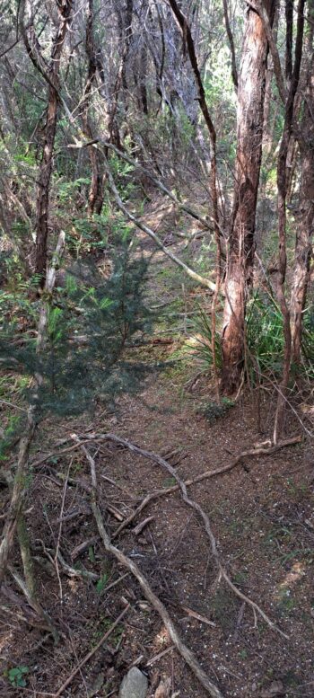
The final stretch to the ridge proved particularly challenging, as dense gorse dominated the terrain. However, the presence of young mānuka or kānuka trees offered slightly easier passage. The abundance of gorse was encouraging, as it suggested I might be nearing the ridge; gorse typically thrives in sunny, exposed areas. With renewed determination, I pressed on and eventually reached the top. There, I discovered remnants of an old firebreak, likely cut during the 1970s but possibly dating back to earlier times as a forestry track. Although much of it was now overgrown with gorse, some smaller sections remained walkable.
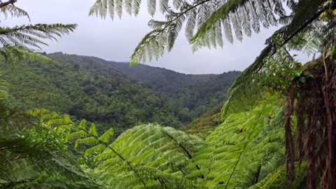
I heading further east on the ridge to see if I could get a view of Nikau Valley and to capture photos of Reservoir Valley. While I found a couple of spots with good views of Reservoir Valley, Nikau Valley below me remained obscured by trees and ferns. Deciding to descend into Nikau Valley rather than retrace my steps, I found the route much easier, with occasional glimpses of the opposite side of the valley through the trees, but no areas open enough to see the whole valley.
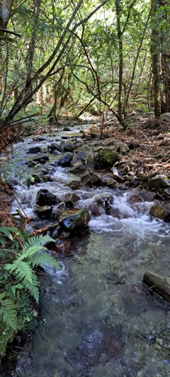
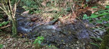
The descent was steep at the top, but manageable, with plenty of vegetation to hold onto. Eventually, I came across the source of a stream, where water seeped out of the ground and gathered below as it flowed downhill. Skirting the steeper edges of the stream further down, I followed its path until I reached Nikau Track near a stand of young kahikatea trees. At this point, I realised I had descended this same creek on a previous outing when I explored the hillside above Top Pool in Bush Bash 17 and then headed down to Nikau Valley. I didn’t realise it at the time, until I emerged at the same stand of Kahikateas.
Instead of returning via Nikau Track, I crossed it and took a photo of Nikau Creek. I then noticed a steep bank with a plateau above, which I had explored in Bush Bash 15 and decided to return this way, passing a site where a manuka/kānuka bivouac had once stood in the 1970s. I eventually reached Gums Loop Meadow and followed Gums Loop Track back to the Hine Road car park.
The walk, though challenging was undertaken in warm weather. It took a few hours and was thoroughly rewarding. With the promise of more summer walks ahead, I felt content for now to put my techy skills to use by helping someone with their Internet connection.

