I climbed the hill behind Sunny Grove again, but further up the valley this time.
 On my previous bush bash, I tackled the hill behind the odd-numbered properties on Sunny Grove, climbing to the ridge before descending into Nikau Valley and Nikau Creek Track. Today, I decided to take on the same hill but further south, aiming to ascend alongside a creek flowing down the slope and then to possibly cross the ridge and descend into Nikau Creek Valley again.
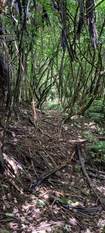
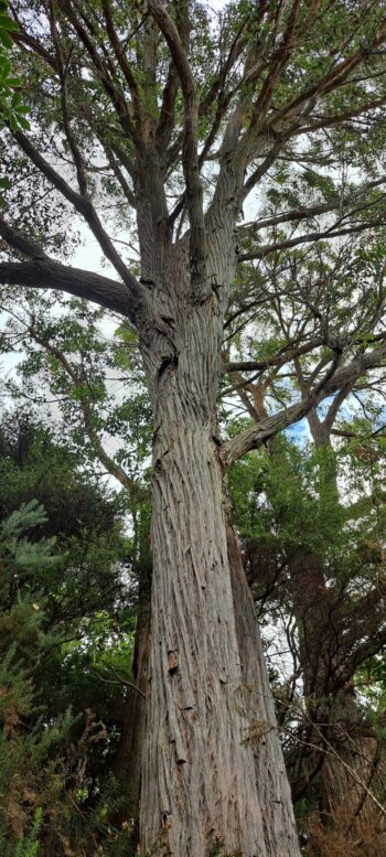
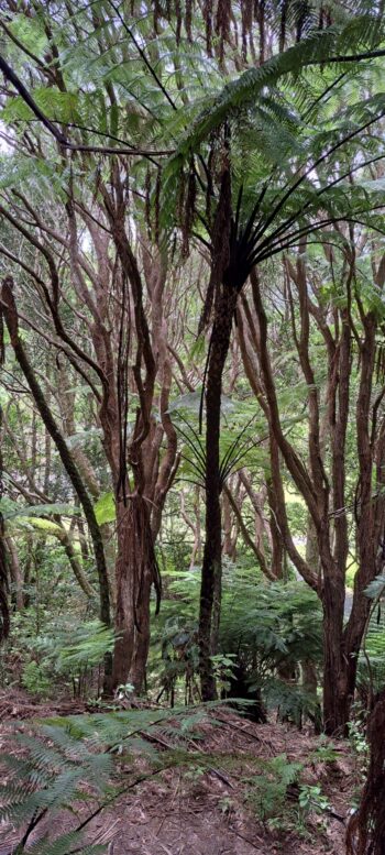
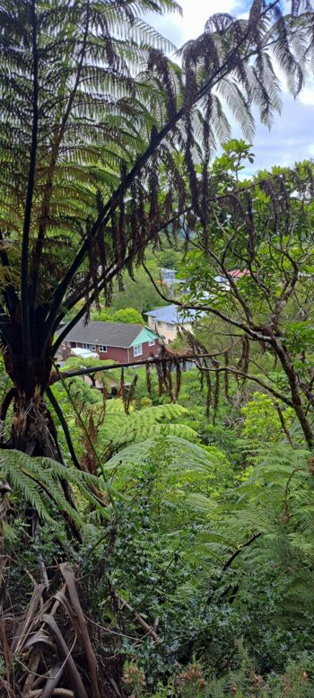
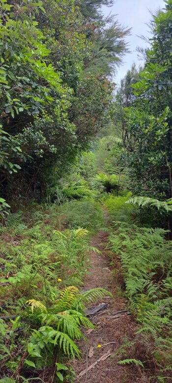
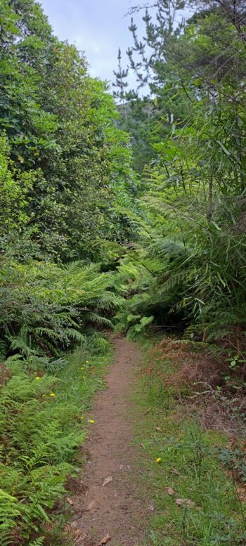
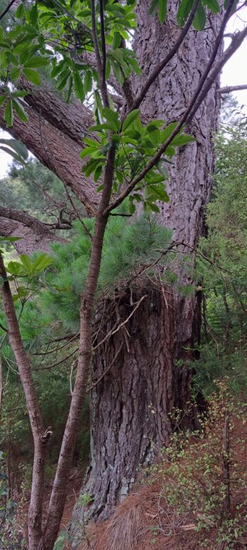
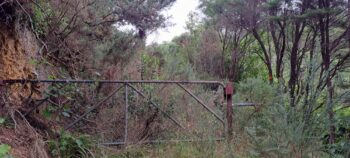
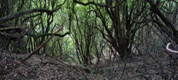
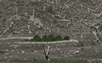
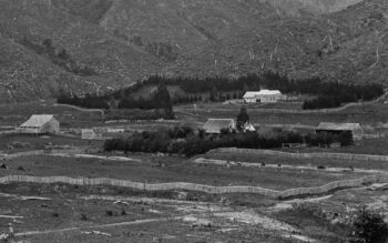
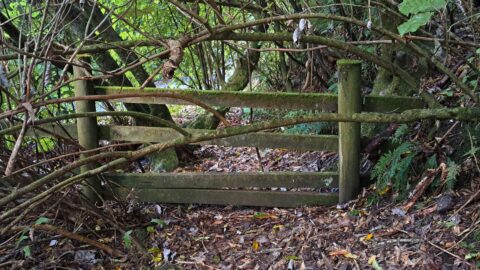
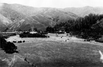
 Starting once more at Sinclair Cemetery, I followed a disused and overgrown section of the Whakanui Track sometimes referred to as Sunny Grove Track but not to be confused with the Old Whakanui Track. I passed through the regenerating forest I explored last time, briefly stepping under the canopy to capture a photo I missed on my previous visit. While there, I spotted a track, likely formed by animals, leading around the hill towards Hine Road Recreation Area. I followed it until I came across two large eucalyptus trees. Curious about the possibility of an old fence located here, as trees were often used to anchor No. 8 wire, I searched for evidence but found none. Historical photos from the 1880s show a wooden fence in this area, possibly predating No. 8 wire.
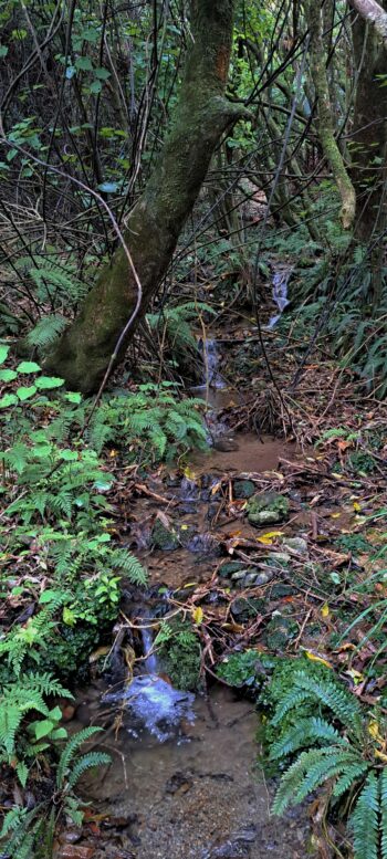
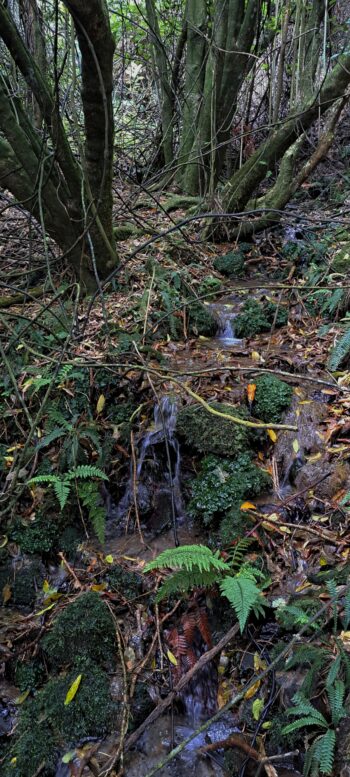
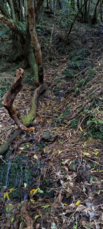
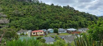
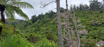
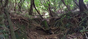
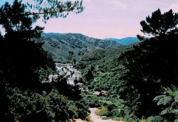
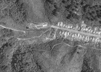
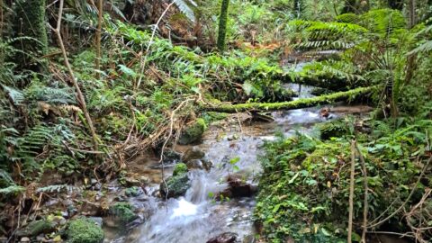
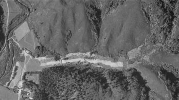 Continuing down toward Sunny Grove Track again, I ventured further up the valley until I reached the largest creek on the hillside behind Sunny Grove. As a child, I’d explored this creek and remembered there was native bush here and freshwater crayfish (kōura) in the creek, but this time I intended to climb all the way to the top of the hill. In the old 1957 aerial photo to the right, you can see the creek / gully I walked up where the largest trees appear on the hillside. To the right of these trees, is a stand of two lone trees (pines) although they appear as one tree in the photo. It was here that I found remnants of an old fort or shed.
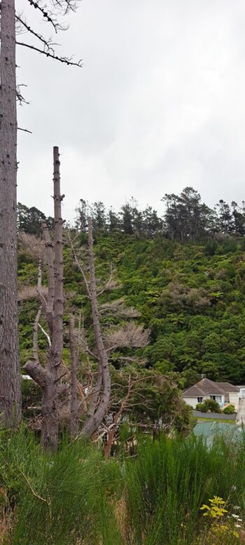
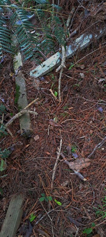
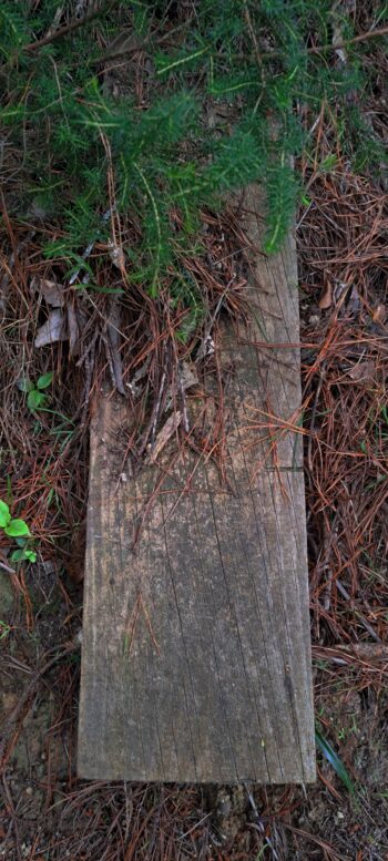
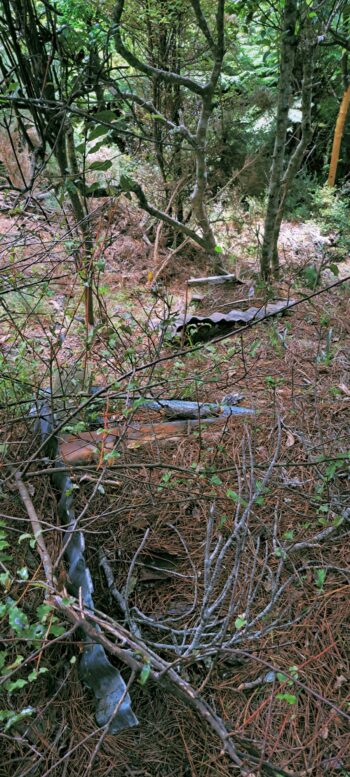
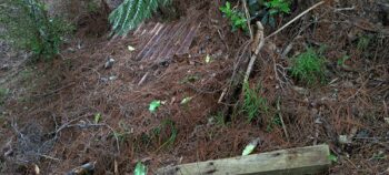
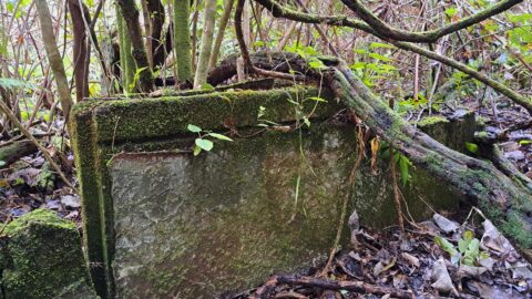
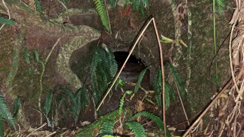
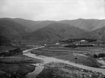
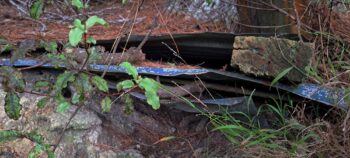 While walking along the creek, I noticed some pine trees that looked to be near a century old, so I briefly diverged my route to take a closer look. Scattered beneath their trunks were wooden posts and sheets of corrugated iron, partially buried under pine needles and soil. This might have been an old fort built for some Sunny Grove children back in the day, or perhaps an older shed from when the area was used as pasture, as seen in historic photographs. The land was seeded as pasture some time after logging took place in the 1860s and 1870s. Standing beneath the pine trees and above the remnants, I observed that the top of the gully was crowned with large trees, which seemed like an inviting direction to head toward.
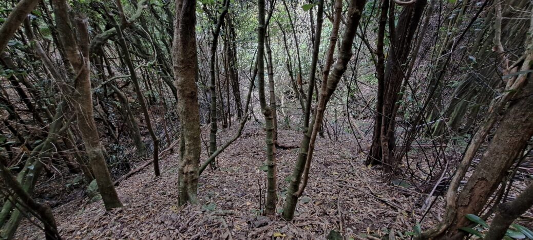
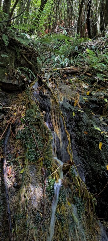
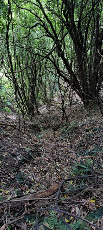
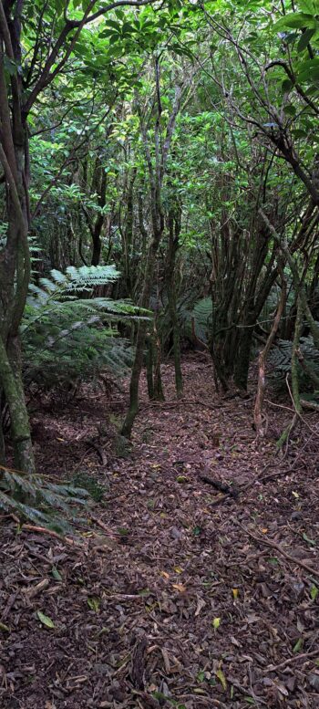
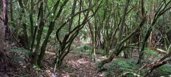
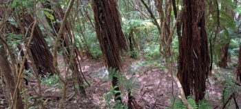
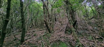
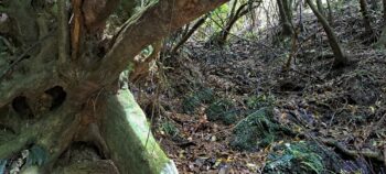
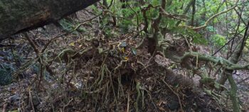
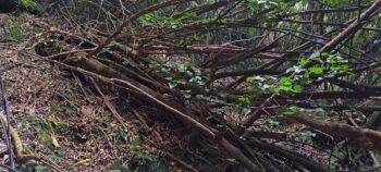
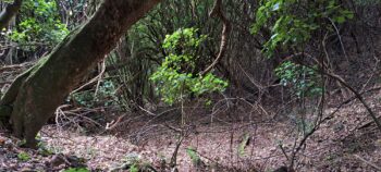
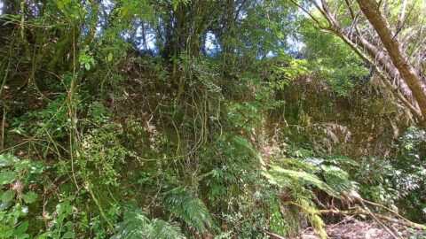
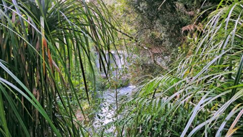
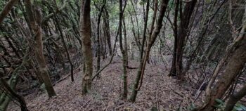 I descended slightly toward the creek and followed it up again until it split into two branches. One side had a waterfall and steeper terrain, while the other was less steep and led toward the large trees I saw earlier. To avoid getting wet, I climbed the spur between the two branches. The ascent was steep and precarious, with few handholds. Many medium-sized trees leaned outward from the bank due to slips, their roots still clinging to the slope. Gradually, I veered toward the creek arm with the large trees, only to find it also split into two. The easiest route appeared to be the spur between these new branches though. Soon, the incline eased, but the vegetation grew thicker. I knew I was near the top of the ridge.
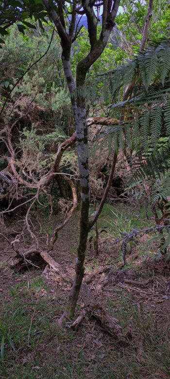
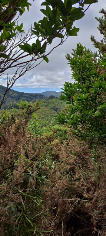
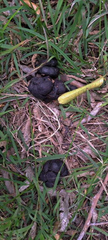
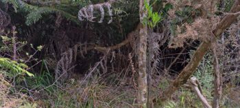
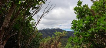
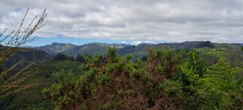
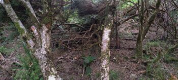 Spotting a patch of sky ahead, I made my way towards it and emerged onto an old firebreak that was freshly cut in the 1970s, but it could have existed earlier. The summit offered no photographic opportunities, just gorse, small trees, and dense bushes high enough to obscure what would be a nice view below. Animal trails crisscrossed the area, marked with droppings. Checking the time, I saw it was around 4:30 p.m., leaving enough daylight for a descent into Nikau Valley.
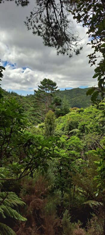
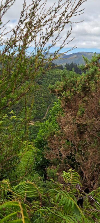
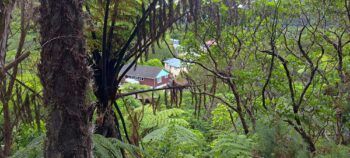
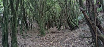 The bush on the Nikau Valley side was dense, but I managed glimpses of the landscape below. I was certain I was substantially further along the ridge than during my last descent into the valley. However, I spotted the Maintenance Track and the firebreak road climbing the hill in the distance which I saw last time. The approach into Nikau Valley appeared challenging, with no clear entry point through the thick bush and with no idea how steep the descent would be. Opting for an easier route, I headed north, closer to where I descended last time, but I was still further south when I found a manageable path downhill. And would you believe it, I ended up in the same gully as last time, near the kahikatea trees on Nikau Track. From there, I quickly made my way back to the car.
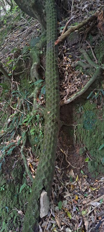
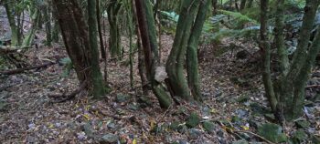 Although this adventure mirrored my previous one, it was far more gruelling. The section of hill I climbed was alot steeper and higher. There was even a rock embedded into a trunk and another wedged between two trees (see photos), a testament to the steep incline and loose hillsides I had traversed. I could tell it had been a tough climb as my T-shirt was so drenched with sweat it looked as if I’d dipped it into Nikau Creek. Thankfully, I had a fresh shirt waiting in the car. With the day’s adventure behind me, it was time to head home for dinner.

