This was going to be more of a history tour than a bush bash. Nevertheless, it would require bushbashing to see the sites I wanted to visit.
 I began by visiting the Scour Pipe site, then continued to the Earth Bridge and Maintenance Track, an old unsealed section of Maintenance Road a track that was used to access the buried Orongorongo pipe. From there, I headed towards Meter House, but before reaching it, I detoured up a small creek flowing down the hillside at a wide point in the track. The waterway soon became choked with supplejack, so I turned back and continued along Maintenance Track to Meter House, and then on to Coleman’s Tunnel.
My interest in the tunnel despite visiting it on multiple occasions stemmed from learning about the issues it faced in the 1880s and 90s, particularly the overflow or bywash problem caused by the water race overfilling the shaft or pressure well at Coleman’s Tunnel. The only solution was to intermittently turn off the water supply to regulate the flow. Reports from the time suggested that this wouldn’t have been an issue if a pipeline had been used instead of a water race, shaft, and tunnel. Ironically, the pipeline was said to be a cheaper option. On top of that, the water race suffered serious leakage, though some attributed this more to poor maintenance than design flaws.
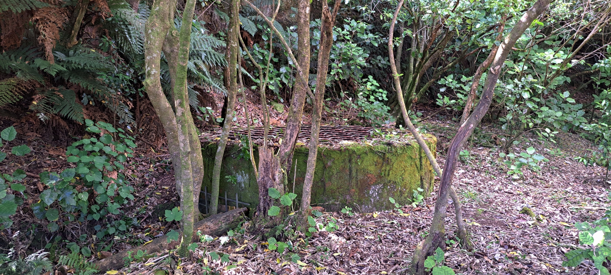
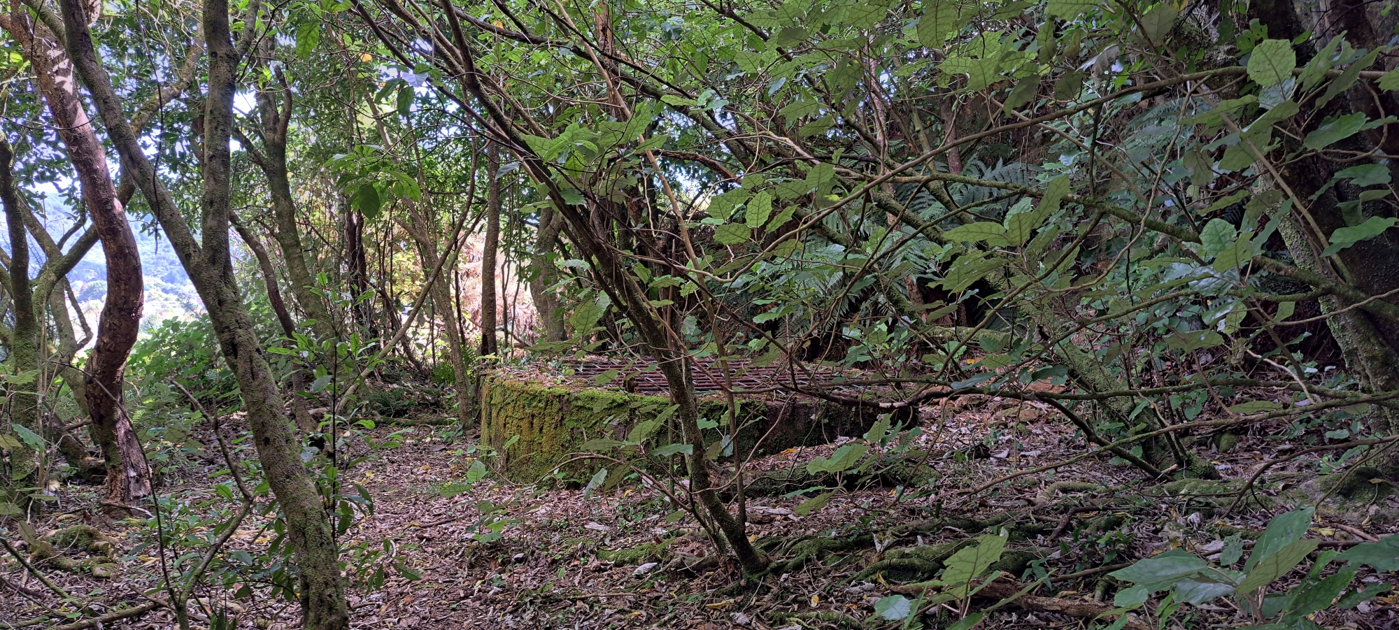
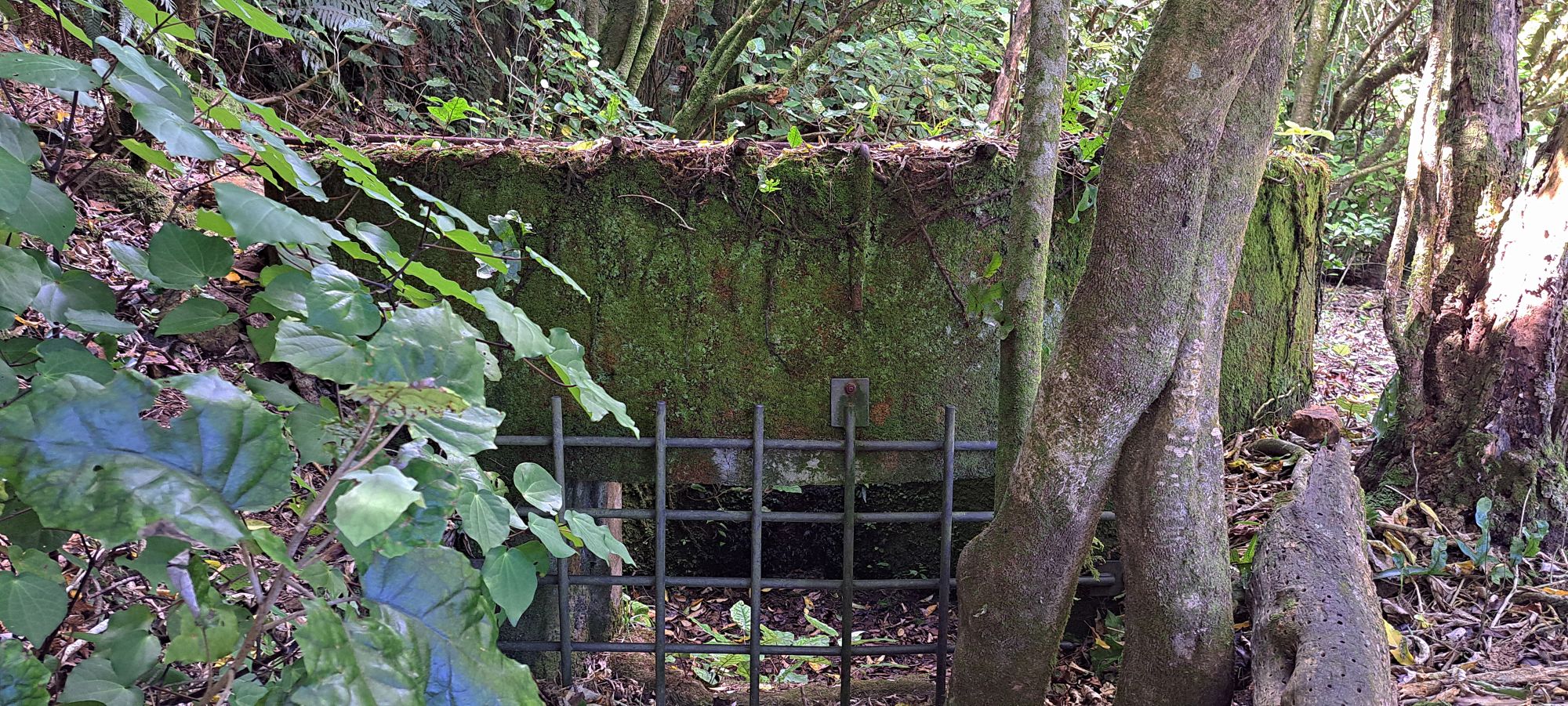 I searched for physical evidence of the overflow and found an outlet on the shaft at Coleman’s Tunnel and a distinct chute cut into the bank below. After taking some photos, I also photographed the inaccessible exit to the water race before it met the shaft. This is one of only four known points where the race is visible, as most of it lies buried several feet underground.
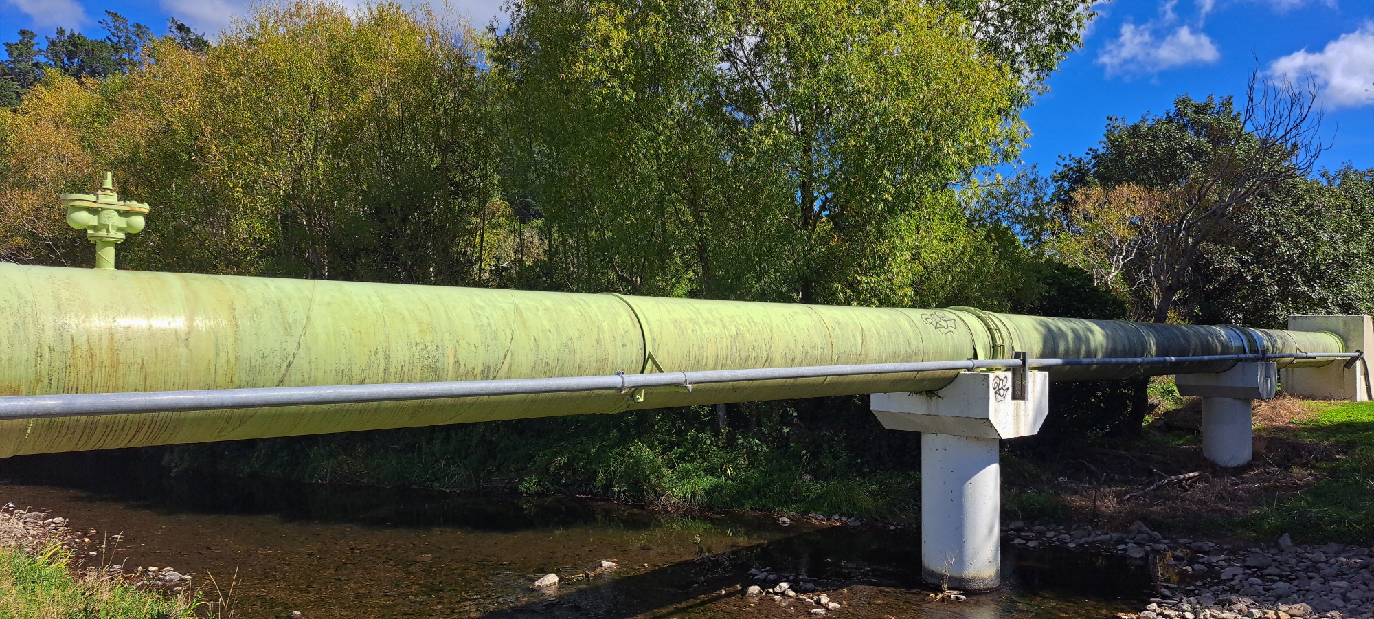
Eventually, this water race system was replaced by a pipe running under or beside Reservoir Road, which proved far more efficient. This was my next stop, photographing this replacement pipe where it is visible above ground. This should not be confused with the main pipeline running across Richard Prouse Park, over the Wainuiomata River, and through to Seaview. The replacement pipe connected the dam directly to the main pipeline near the entrance to Coleman’s Tunnel.
 The entrance to Coleman’s Tunnel and its connecting main pipeline were buried decades ago. Before that, the Orongorongo pipe had been laid to run parallel to the main line. Today, a small section of the Orongorongo pipe remains visible near Coleman’s Tunnel, alongside Reservoir Road.” In 1988, both the Orongorongo and Wainuiomata pipelines were replaced by a single pipeline known to some as the Green Pipe.
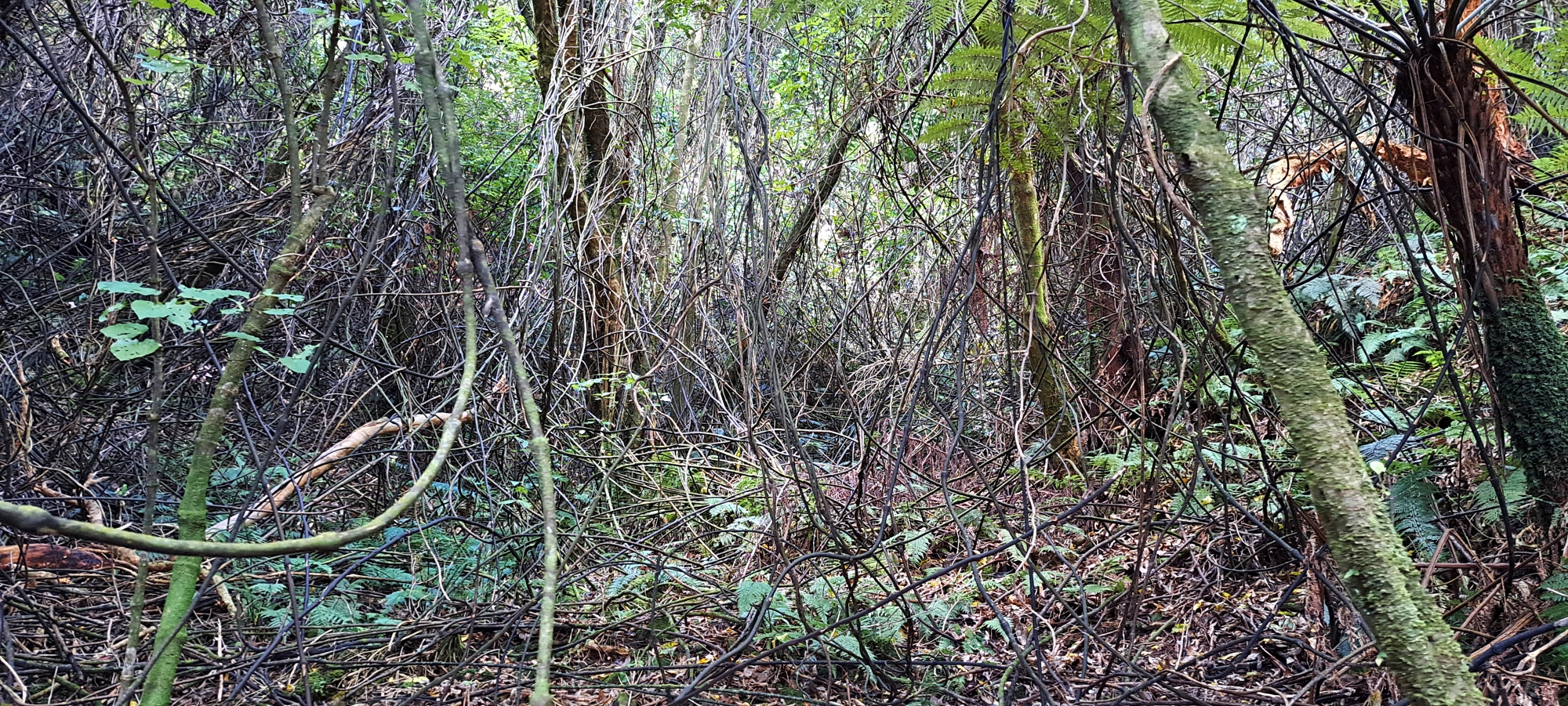
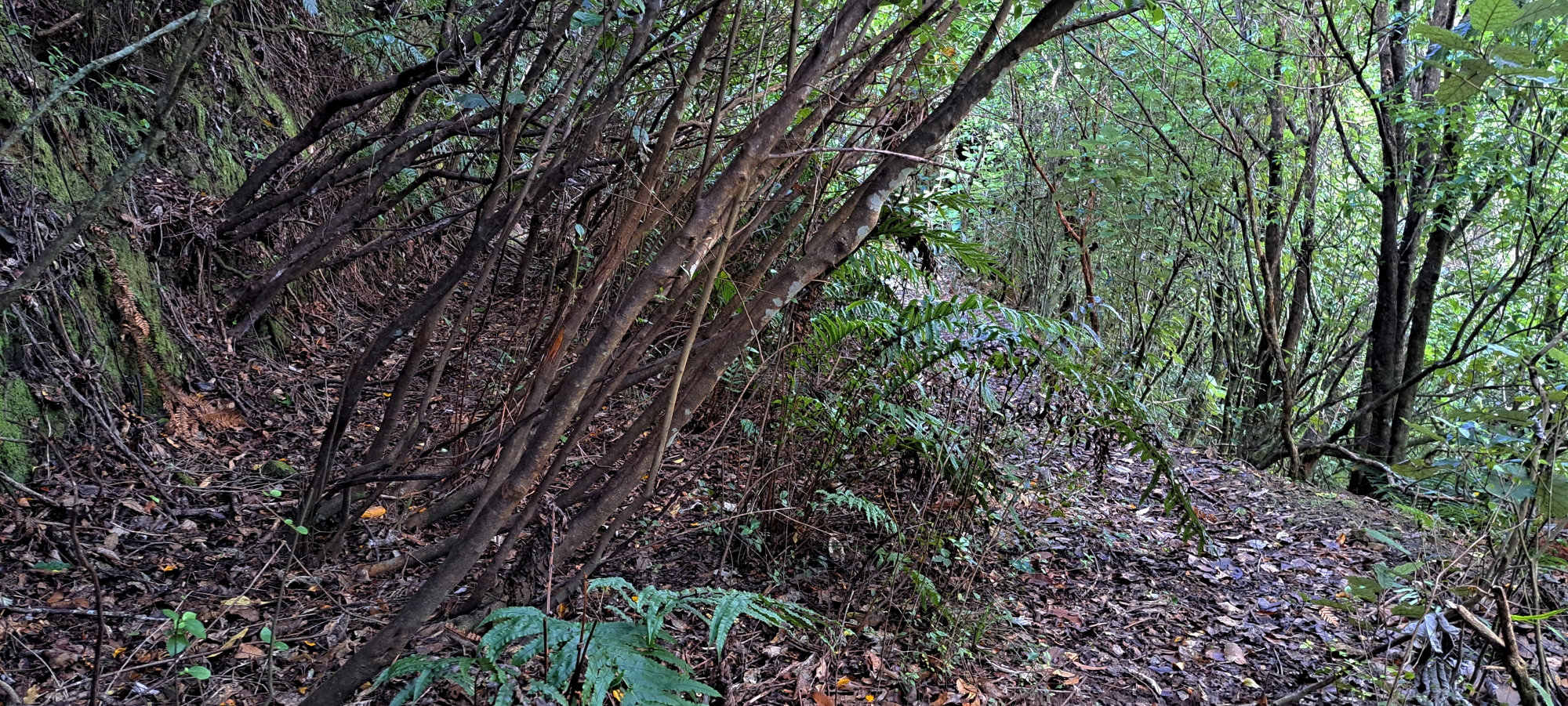
 Back at the Coleman Tunnel shaft, I opted not to return via the lower Maintenance Track. Instead, I followed an older, higher route that begins at the shaft. I believe this was the original maintenance track for this section of the water race, predating the lower track which was later cut to service the Orongorongo pipe. The upper track is now very narrow, more like a ledge in places, likely because the bank beneath it was cut into to accommodate the newer route for the Orongorongo pipe below. Despite this, the old track remains clearly visible in some sections. I followed it until it re-joined Maintenance Track just above the roof of Meter House.
 I felt a bit uneasy walking this overgrown track though. It is drier because it receives more sun which makes it more ideal for wasp nests. Further, gorse and a crumbling bank lined the path, both attractive to nesting wasps. I’m wary for good reason. In Bush Bash 40, I was stung around 100 times after stepping on a nest in similar terrain. Since then, I think I’ve developed a level of PTSD. On more recent bushwalks, too short to write about, I’ve been so focused on avoiding wasps that I’ve struggled to enjoy the adventure.
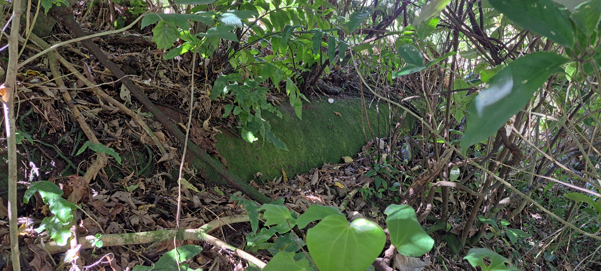 Moving on, I returned to Reservoir Road and headed to the visible section of the replacement pipe I mentioned earlier. This is the only known above-ground portion I am aware of, so I photographed it. Although, it does look like a section of this pipe also hangs over the Wainuiomata River near the Pump Station.
While in this location, I decided to also look for evidence of an old track that once led to a bridge known as Cullen’s Bridge which provided access to a homestead called Glenhill. This access bridge had spanned the Wainuiomata River, providing vehicle access from Moores Valley to the house and surrounding farmland which is now Hine Road and Hine Road Recreation Area. Before Hine Road was built, there was no easy public access to this land, as the area blocking passage was in the hands of another owner.
Cullen’s Bridge was named after Cephas John Cullen who leased Glenhill in the 1940s. This home was originally owned by the pioneering Sinclair family. Located roughly where 136 Hine Road stands today. The home was later renamed Riverlea after it was sold in 1883. Built in the 1860s, the house remained until the 1940s, with some remnants still visible into the early 1960s. It stood near another Sinclair residence known as Moness.
I took photos of what looked like the old track to Cullen’s Bridge, then I continued towards the Green Pipe crossing the Wainuiomata River. From there, I followed a track leading to the Hine Road Recreation Area.
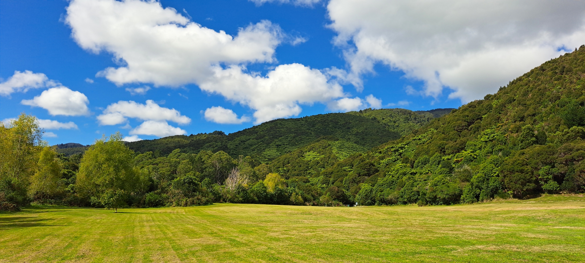
At the recreation area, I took some early autumn photos of Skerretts Creek, the Wainuiomata River, and the reserve and backing hills. I also photographed what might have been a small section of the old track on this side of the river, that once connected to Cullen’s Bridge to Glenhill.
All in all, this was a bush bash through very familiar ground. Normally, I try to avoid repeating routes unless there is more to discover and prefer new areas of discovery. However, given my recent bout of PTSD following a wasp attack and the fact I’ve recently uncovered more information about the old Wainuiomata water race, this felt like the right adventure for today. And, for the most part, I genuinely enjoyed it.


