Tracing the last unexplored section along the Wainuiomata Water Race Track below the Orongorongo Maintenance Track.
In Bush Bash 44, I walked along what I believe is the old maintenance track atop the water race which I call Water Race Track. To my surprise, when I rounded the last spur just before Scour Pipe, I entered a ditch which I have seen numerous times before. This ditch curves around the spur, and has long been a mystery. It sits below Maintenance Road but passes underneath Scour Pipe, which connects to the Orongorongo Pipeline above.
After giving it some thought, a theory came to mind. What if the water race is actually beneath this ditch instead of further up the hill where Maintenance Track is located, which is the current thinking. Just to be clear, the water race is not beneath Maintenance Road for all of its route, but it is assumed that the water race is just underneath Maintenance Track.
First off, what is the difference between Maintenance Road and Maintenance Track you ask? Both were part of the same private road, but one part of the road was abandoned decades ago. Nowadays, this section of road is an overgrown track. Anyway, my reasoning that the water race not being under Maintenance Track was caused by stumbling into this ditch when following what I think was Water Race Track. It didn’t align with Maintenance Track when I rounded the spur. If this is correct, it could also explain another anomaly (in my mind at least). The drainage pipe that runs beneath the Earth Bridge that contains the Orongorongo Pipeline and the assumed path of the water race near this ditch seems too deep for its purpose of passing a creek below the water race.
What if the water race was actually located further down the hillside, below Maintenance Track, and the drainage pipe was originally built to follow that lower alignment? That would help explain the big depth of the drainage pipe, the alignment between the track and the ditch, and the track beyond Scour Pipe that curves westward along the slope. Since the Orongorongo Pipeline was laid in the early 1920s, and the maintenance road above it was constructed at the same time to assist with installation and provide future access, it’s possible this infrastructure had nothing to do with the water race or its associated track.
This suggests the earth bridge may not have been purpose-built for the water race, but instead constructed over terrain already shaped by earlier works from when the race was active. With that in mind, I decided to explore the area just below Maintenance Track, starting below the earth bridge and heading toward Coleman’s Tunnel, on the theory that the water race didn’t run beneath the old road above, but followed a lower route along the slope. So I decided to walk this line, looking for exposed sections or features like manholes that might confirm the hypothesis.
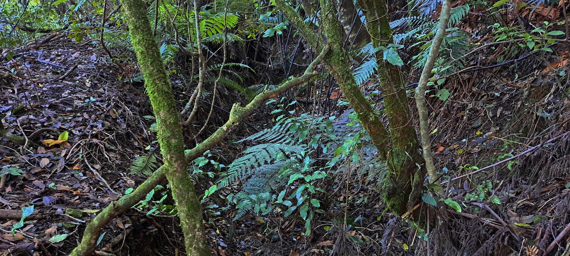
So, I parked my car then made my way up to Scour Pipe and followed the lower track running west along the hillside assuming that it could be part of Water Race Track. The track is visible, but tangled in supplejack, which made it slow and difficult to get through. After a while, the track began to fade into the steep hillside, probably due to rockfall and debris from construction of Maintenance Road above which is now just an overgrown track. The slope here is unstable as the slope is steep and is covered in loose rocks, so progress was slow.
I eventually reached an area just below Orongorongo Meter House, located on Maintenance Track where I know the water race track runs underneath and where you can see the Water Race Track above the hut. I climbed back up and tried to figure out where exactly the Water Race might descend below the track and along the hillside I had just explored. It’s hard to say, but I did notice that this section of Maintenance Track for some reason, is the widest anywhere along the whole route including Maintenance Road.
From there, I followed Maintenance Track back toward the earth bridge, then descended back down to what could be Water Race Track and continued down the hillside to exit the bush.
My next goal was related. I wanted to follow a link track I’d discovered during Bush Bash 44, one that climbs up from the public road below and heads toward the water race track just east of the spur where the ditch is located. I retraced it again, and although I could see the water race track above, there was no obvious connection. The track simply ended. Most likely, it once zigzagged all the way up, but over time the upper portion eroded away. The steep bank here supports this assumption.
So, I climbed the bank to rejoin the water race track and walked back toward the ditch and Scour Pipe to check whether the track truly aligned with the ditch as it circled the spur. It does. After that, I left the bush and returned to my car.
My current theory is that the ditch could be part of the original Water Race Track, along with the path near Scour Pipe that continues along the hillside. It may all be part of the same alignment. The problem is, I have no concrete proof, just clues that seem to fit. The ditch connects with a track both east and west.
Further, between the exposed race further east and the ditch, I noticed several features: cuttings in the bank, some old bottles, a rotting timber post still in place, and a wooden plank and concrete brick / broken lid, half-buried in the undergrowth. These all suggest past human activity, and strong evidence of an old track. Besides this, with parts of this hypothesised track still faintly visible, it seems a good possibility that the water race runs beneath this track.
To conclude, the clearest evidence of a track here is simply the presence of what looks like an old track that is now mostly overtaken by nature. The question remains: is this the Water Race Track?
All that aside, what I had really hoped to find today was a manhole, which should occur roughly every 40 metres, or a visible section of the water race itself such as an opening or even a glimpse of the outer wall. Unfortunately, I found nothing of the sort, either because I was on the wrong track or the water race and manholes are fully buried. So for now, it remains just a theory. To recap, the idea is that the race runs lower than both the Earth Bridge and Maintenance Track, and slowly rising to run under Meter House, then further uphill to the well at Coleman’s Tunnel .
Regardless of the validity of this theory, I believe I’ve now explored the full extent of the Water Race Track, whether above or alongside the race itself. While I didn’t find any new visible sections today, on other occasions I’ve located around six spots along the near 2km route where the race can be seen. This last section I explored today just confirms there are still plenty of unknowns when trying to map the full course of the water race.
With this mission more or less complete for now, it’s time to seek out a new area to explore, ideally somewhere with a touch of hidden history waiting to be uncovered. Unless new evidence emerges to draw me back here, I’ll shift my focus to another mystery, hopefully as compelling as the search for the water race or the Kittyhawk crash site from 1943 above Sunny Grove, which captured my attention a year or two ago. These remain two of my most rewarding historical explorations in the Wainuiomata wilderness, though there have been plenty of other memorable adventures along the way, and hopefully many more still to come.


