Looking around the hillside at the bottom of Wainuiomata Road
With three hours to spare in the Hutt Valley, I set out for a short trek on the hillside above Wainuiomata Road on the Hutt side. When driving over the Wainuiomata Hill I often look out for tracks climbing the slope. One in particular had always caught my eye just after you exit the tunnel and begin the ascent towards Wainuiomata. With fine weather and time on my side, today felt like the perfect chance to explore it.
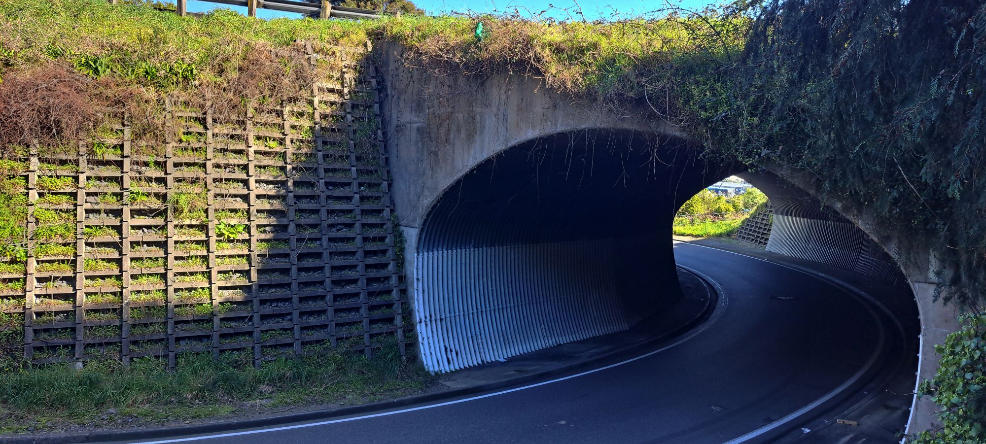 I headed to Mawson Street off Whites Line East, where there is a circuit of walkways. I joined a track and aimed for the hillside that would give me views over Wainuiomata Road. There were several options left and right but I followed Farm Track and a few connecting paths. After reaching a stand of large pines I noticed a small side track that led to a trig point. From there I bush-bashed down towards Wainuiomata Road. The slope was steep and clothed in regenerating forest. At the foot of the hill the ground flattened and I found the track I had been seeking. It led to the tunnel area on the Gracefield link road that joins Wainuiomata Road. I took a few photos and then followed the track back.
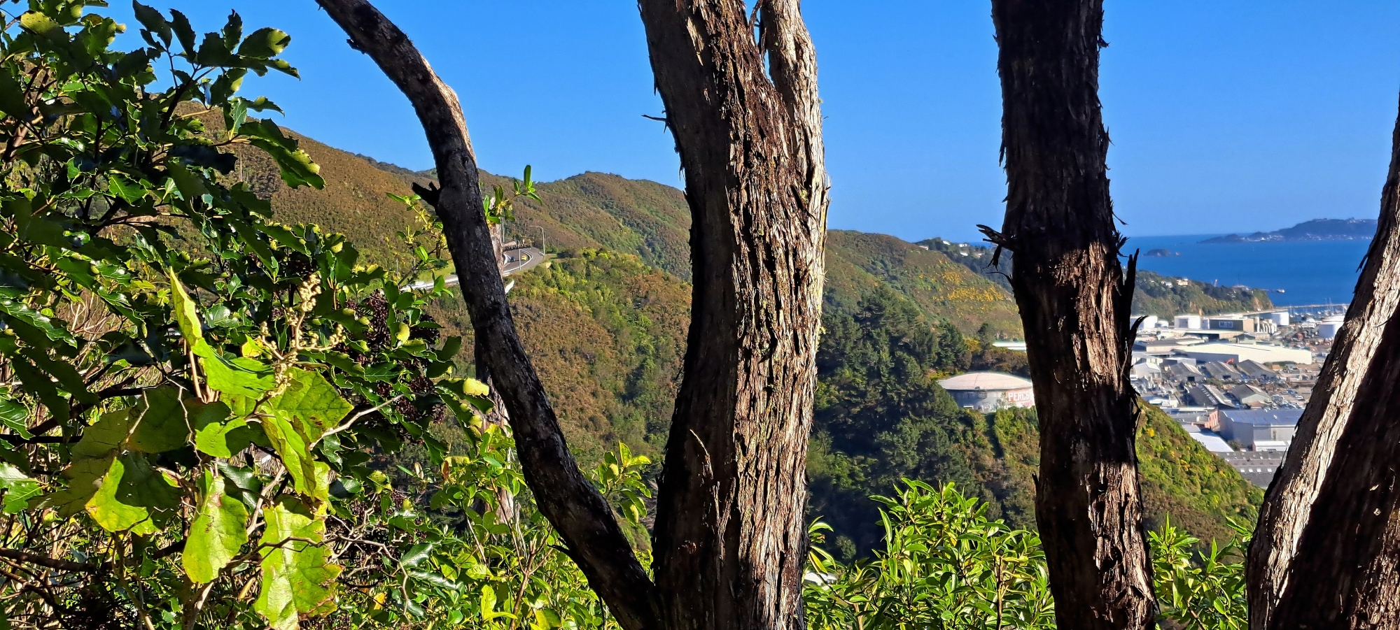
 That track joined an old bench cut which in one direction dropped into a gully choked with impassable supplejack. I took the bench the other way and it looped back to the pines. From there I climbed through bush on the Wainuiomata side to see what else I could find, with great views over Gracefield and Wellington Harbour and the occasional glimpse of Wainuiomata Road higher up.
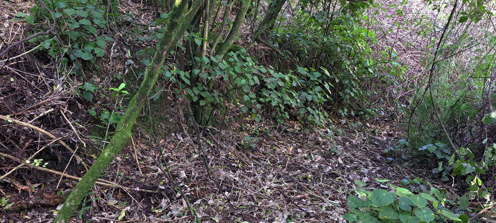
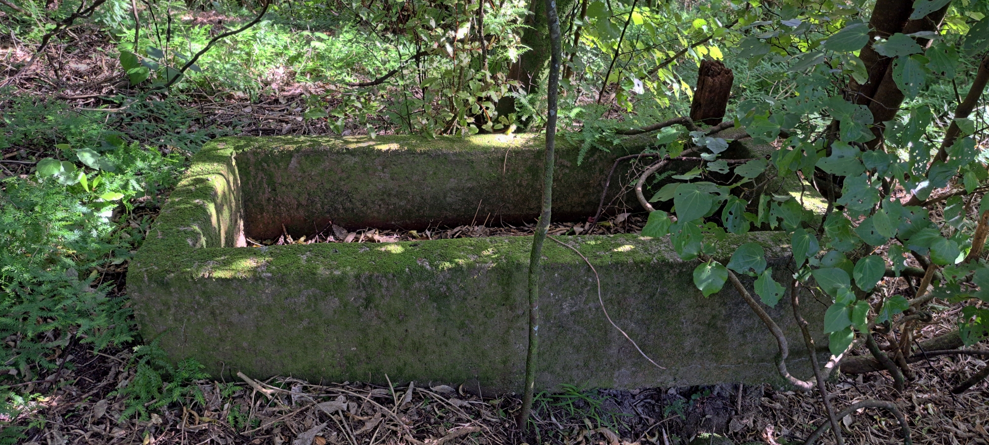 Satisfied with that hillside, I headed up to reconnect with a track and make my way back to the car. On the way I came across an old fence line that suggested these slopes were once farmland. With a nearby route called Farm Track it is easy to imagine travellers driving over the hill and seeing sheep or cattle grazing here. In my memory from growing up in Wainuiomata this area was mostly gorse. Today there is plenty of regenerating native bush. Near the fence I also spotted what looked like an old concrete water trough. At first glance it could be mistaken for a grave but I was walking through what had been farmland.
 I then found a track climbing towards the ridge that separates the Hutt Valley and Wainuiomata. I followed it in the hope it would link to a descent towards my car. It kept rising so I left it and bush-bashed downhill in the direction of Mawson Street. Eventually I rejoined the track I had entered on and descended to the car to call it a day.
Although this area is technically on the Hutt side it is closely connected to Wainuiomata via Wainuiomata Road. I had heard there was a small gold mine somewhere nearby but I did not find it. Later, while searching the names of the tracks I had walked, I came across a blog by a former resident with a video of the supposed mine.


