Further exploration of concrete huts, the water race, and pipelines
The weather had finally cleared, so I decided to continue my efforts to piece together how the pipelines and associated structures of the Wainuiomata Water Works fitted together, both technically and historically. I was joined by two friends with extensive local knowledge, and together we set out to build a clearer picture of the system. Today’s adventure required some bushbashing between sites, but for the most part, it was an easy stroll.
We began on Reservoir Road, stopping first at the site where the 30-inch Venturi Meter House existed. After confirming the exact location, we walked downhill to search for remnants of the structure, and found some. Several slabs of concrete and brick were scattered in the undergrowth below the site, likely discarded when the hut fell into disrepair or was demolished. An old newspaper article described the building as being made of concrete and brick, so these fragments were almost certainly part of it.
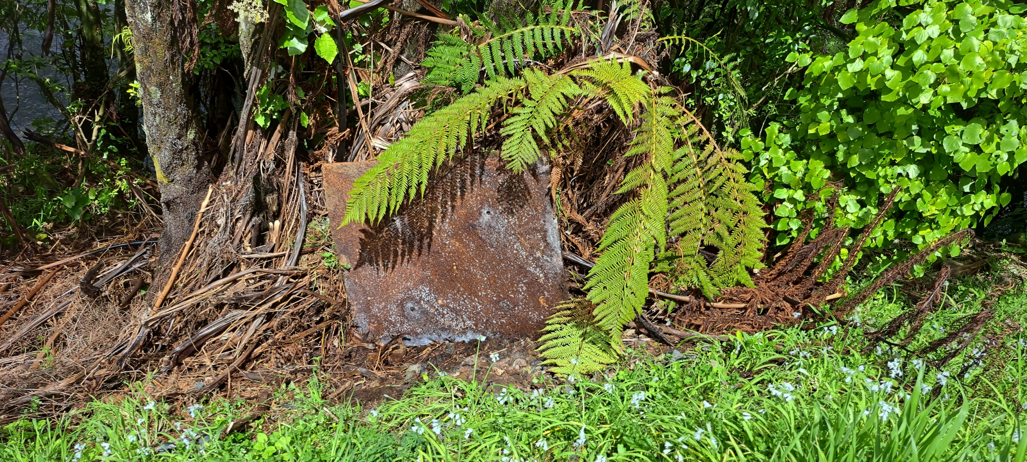
Protruding from the hillside below was an old pipe, possibly used as a scour pipe. As we prepared to leave, I noticed a sheet of iron partly buried in the ground. I managed to lift it upright for a photo, and while its purpose is unclear, it was likely part of the same structure.
We continued east along the road to an exposed section of the old water race, and just beyond it, an unassuming large rock or stone by the roadside. According to one of my companions, this was part of the race, and closer inspection confirmed it. It may have been a section of the roof or floor. Scraping away grass growing atop, revealed plank outlines used during the concreting process. A little further on, we spotted an old section of the Orongorongo pipe in the bush, so I took some photos. We then moved on to a walking path near the Wainuiomata Water Museum where the race ran directly beneath, at least according to an old map.
Next, we visited the old dam, where several interpretive signs provided excellent historical context. One included a map showing the routes of the O-K Pipeline and the Morton Pipeline, which proved particularly useful. After lunch and some photos of the dam and spillway, we examined a buried concrete hut east of the old dam, before the water catchment security gate. The aim was to photograph the interior and identify its purpose. Using flash photography through a small opening, combined with information on a display map at the old dam, suggests the building housed a strainer connected to the O-K Pipeline. Further east, we found numerous spots where the O-K Pipeline is exposed and took photos.
On the way back toward the car, we checked out an old cart wheel that probably dates back the late 1800s when the Sinclair family were logging the area.
Based on today’s findings and the historical display map at the old dam, both pipelines roughly parallel, run underground the grassy area surrounding the strainer building. The map shows the Morton Pipe connects with the older 30-inch line from the dam, while the Orongorongo Pipe continues higher up the hillside beneath Maintenance Road.


