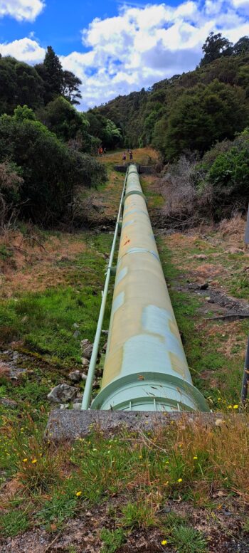
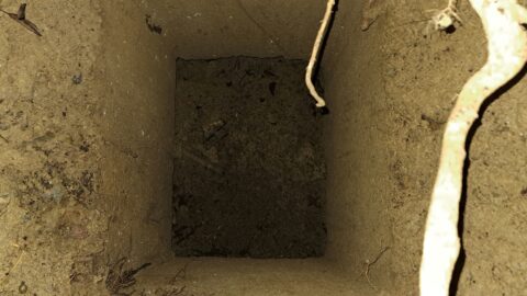
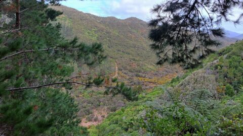
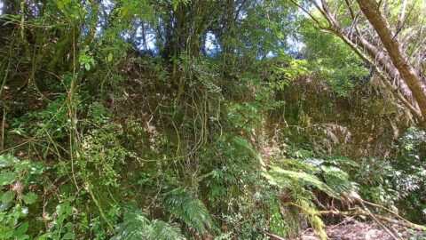
See the water catchment in Wainuiomata first hand on this informative free tour.
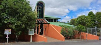
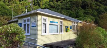 Today, I participated in the Wainuiomata Water Walk, a complimentary excursion open to all, but limited to 40 people. To join, simply visit the Eventfinda website and search for ‘Wainuiomata Water Walk.’ Our journey commenced from the Whitcher Grove car park just prior to the gated entrance on Reservoir Road. After providing my name to the welcoming ranger, the gate unlocked promptly at 9 am, allowing our tour group to drive to a designated parking area near the Lower Dam, adjacent to the Wainuiomata Water Museum.
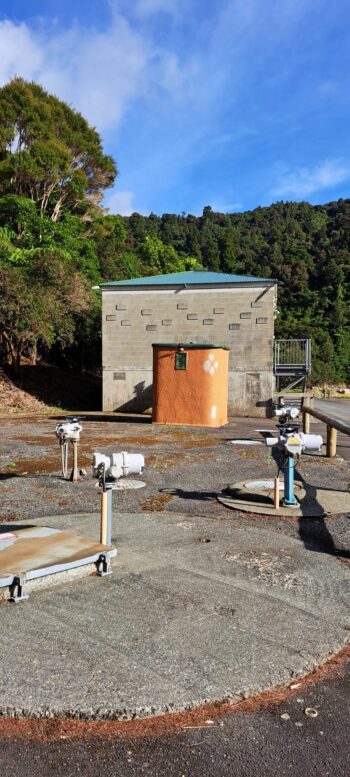
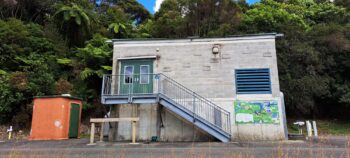
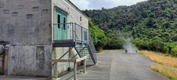
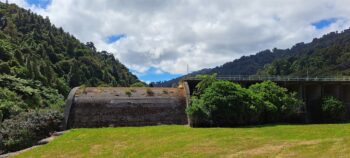
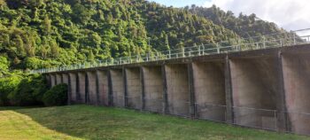
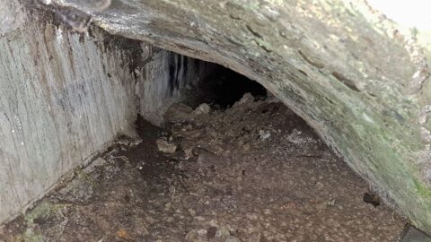
Our exploration began with a stroll to the dam, during which the ranger enlightened us about the tour itinerary and the significance of the water catchment area. Continuing along Reservoir Road and passing through another secured gate, we crossed a bridge over the Wainuiomata River, eventually arriving at the Wainuiomata Treatment Plant with picturesque views of Morton Dam. This marked our final restroom break before delving deeper into the catchment area.
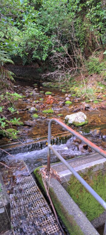
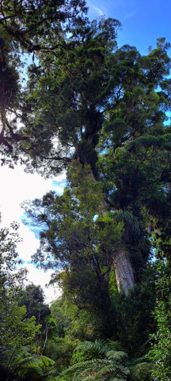
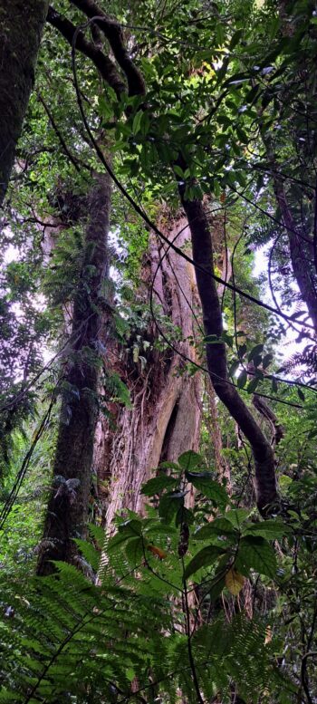
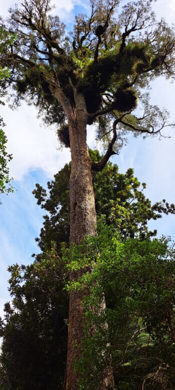
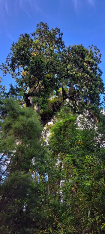
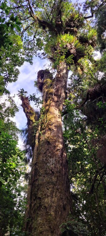
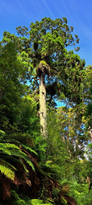
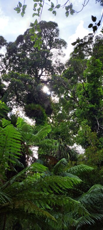
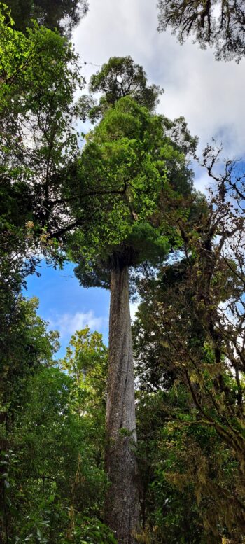
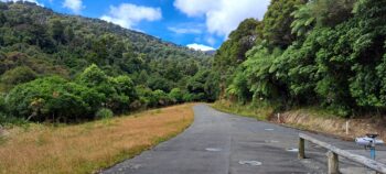
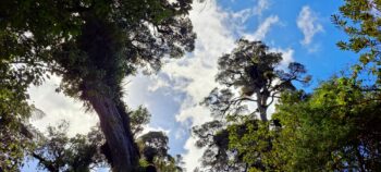
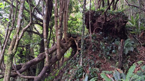
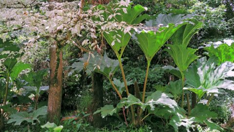
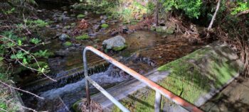 Walking up Catchment Road, we marveled at majestic trees alongside the road, including rimu and rata. This area has never been logged and is part of the proposed Puketahā Wildlife Sanctuary currently seeking funding. Regrettably, our path to the Orongorongo Tunnel linking this valley with the Orongorongo Valley was obstructed by a fallen rata tree on a bridge. However, this setback presented an opportunity to explore an alternative area later on. Retracing our steps, we encountered one of the weirs along the Wainuiomata River, the smaller of the two.
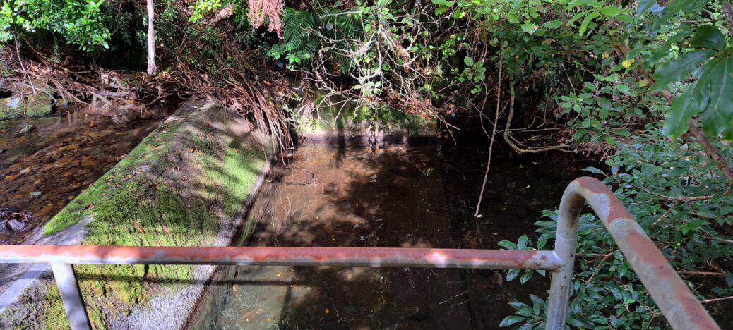
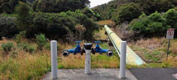
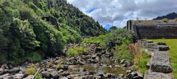
We almost returned to where we started, but turned right into Sinclair Valley which was the part of the tour that was added on due to the path being blocked in the adjacent valley. We walked to the larger of two weirs in the Wainuiomata River and learned that both weirs provide the same water supply as Morton Dam had when it was operational.
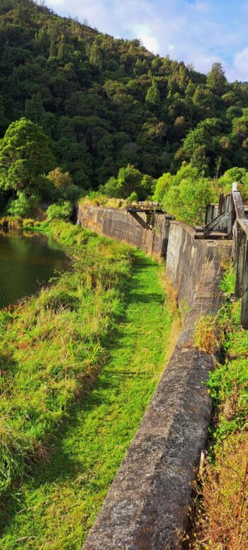
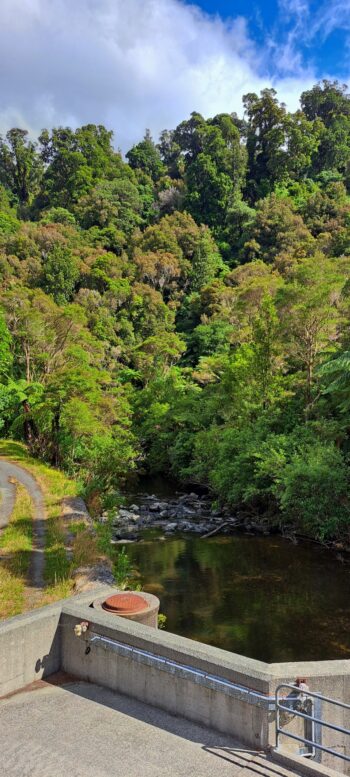
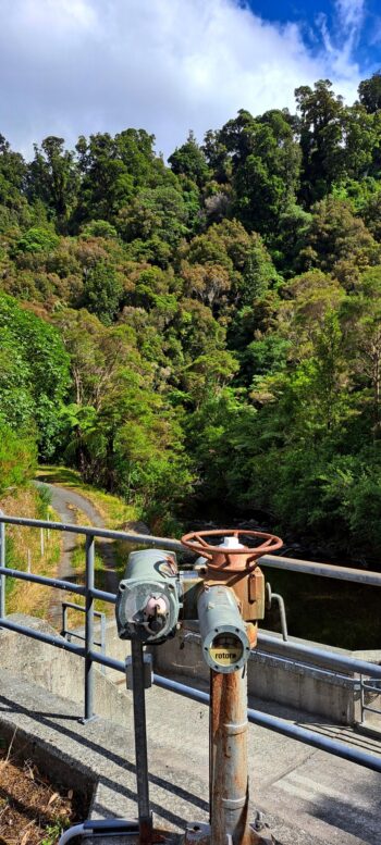
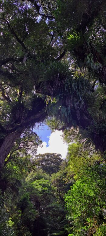
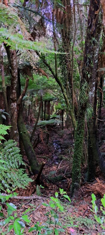
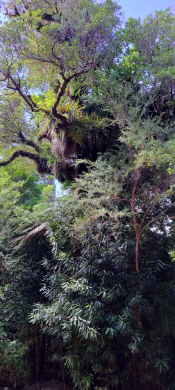
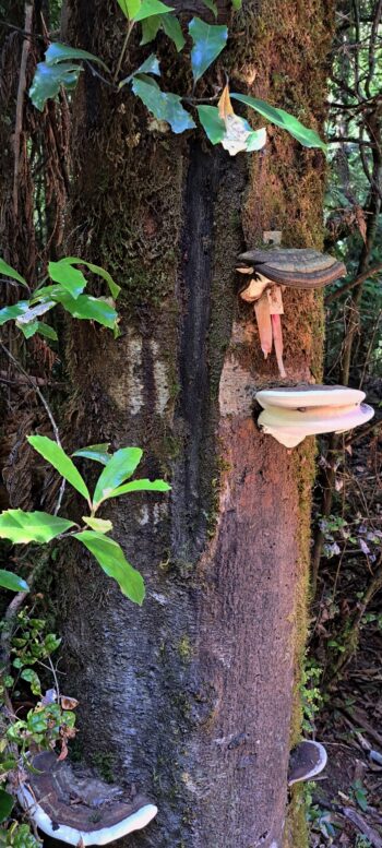
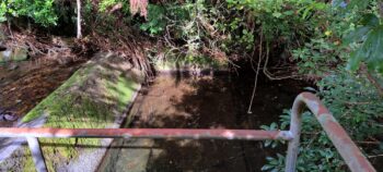
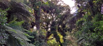
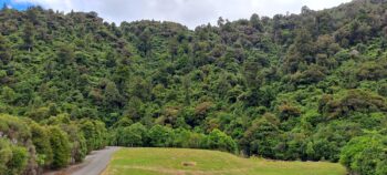
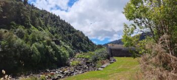
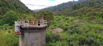
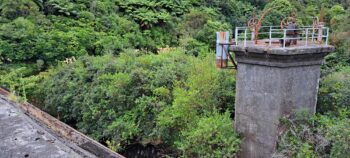 Continuing on a non-sealed road, there were clear views of towering trees, fern trees, and other species that the ranger talked about. This was in fact the same area that I had walked when doing the Old Forest Walk one month prior. Following a lunch break and chatting with some of the other walkers, we retraced our route towards the Wainuiomata Treatment Plant, where we traversed beside and atop Morton Dam. This segment proved to be the historical highlight of the tour, offering views from the top of the dam over the the vegetation that has since flourished after the dam’s decommissioning and emptying in 1988.
Our journey concluded as we walked back to the Lower Dam, whence we departed in our vehicles, bidding farewell to the restricted water catchment area. At the tour’s conclusion, I decided that I would try and rebook this walk at a later time when the Orongorongo Tunnel is accessible again.

