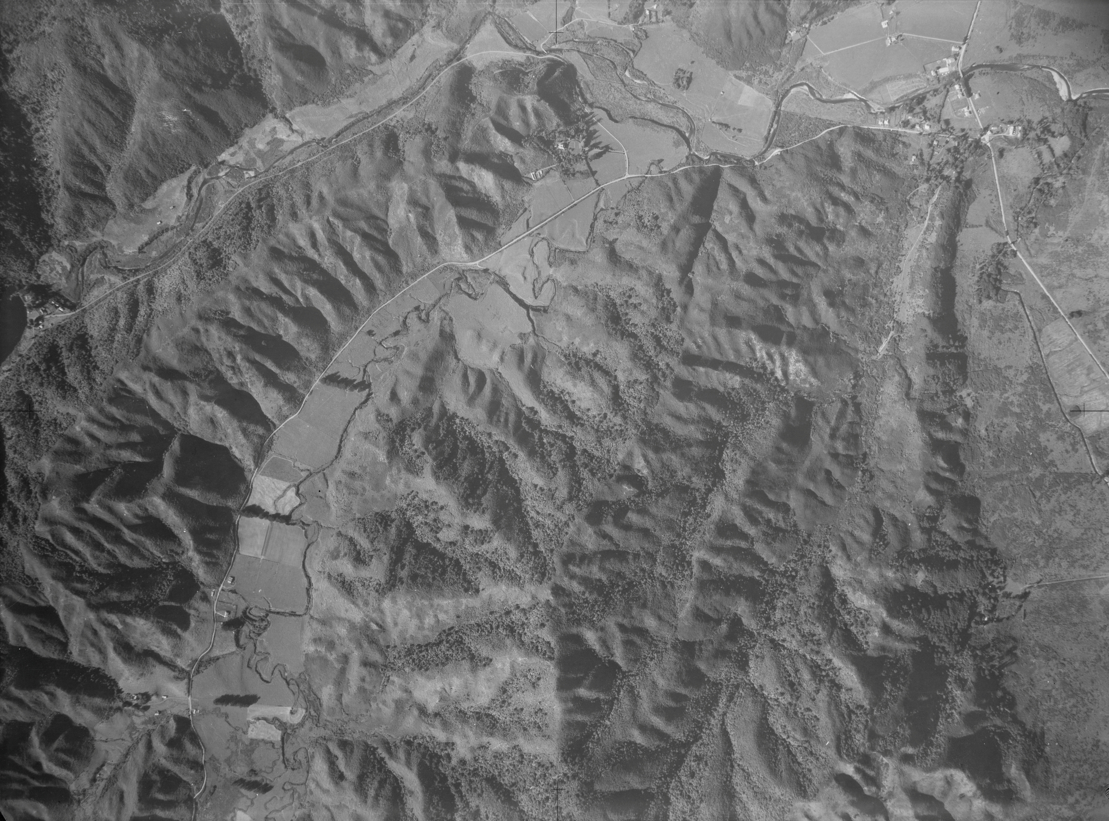
An aerial photograph taken on 17 March 1942 captures Moores Valley and Reservoir Valley, extending up to the old dam. At the time, both valleys were predominantly farmland, with Moores Valley Road, Reservoir Road, and Main Road (originally known as Wainuiomata Road) clearly visible. A track can also be seen running alongside Wainuiomata Primary School, in the location where Homedale Road exists today.
Sourced from the LINZ Data Service and licensed for reuse under the CC BY 4.0 licence.


