
Pictured is Hine Road Recreation Area in 1989.
In 1989, you could clearly see the old road above Reservoir Road from Hine Road Recreation Area. Behind is the yet to be discovered Sinclair Cemetery which dates back to 1869. It was forgotten and covered in bush till the 1990s when it was cleared and a memorial plaque was placed. Three unlaid pipes can be seen on Reservoir Road with two small fenced off construction areas. One near the pumping station and the other near where the car park is today.
The Holly Trees
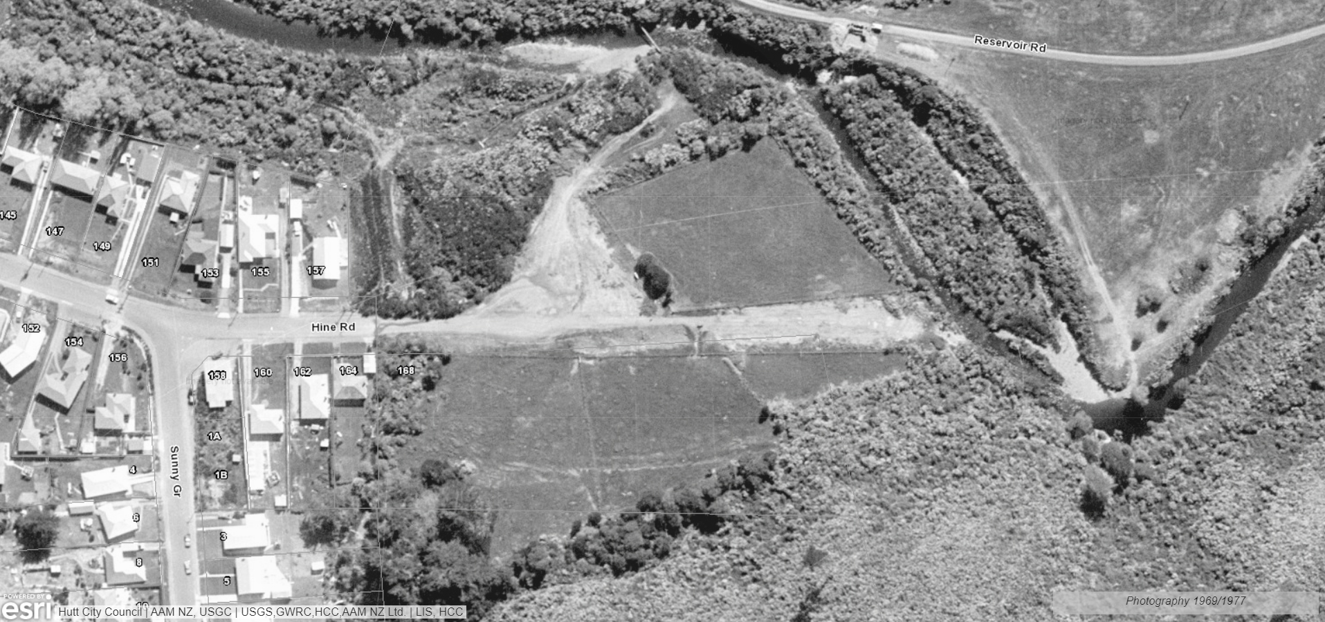 In the centre of the photo above, you can see a bunch of holly trees. This is interesting since Sinclair Cemetery was outlined by holly trees. Could it have marked a specific area and for what purpose? Looking back at old aerial photography, particularly one in 1969. It looks as though these trees marked an entrance to a rectangular property that existed here. See photo to the right. You can also see the road that included Cullens Bridge, although at this stage the bridge was not used for vehicles.
 The second aerial photo, captured in 1942, reveals an absence of holly trees. Hence, it can be inferred that the holly trees were likely planted sometime between 1942 and approximately 1960, considering the evident time required for their growth. So there is no connection timewise between this group of trees and Sinclair Cemetery.


