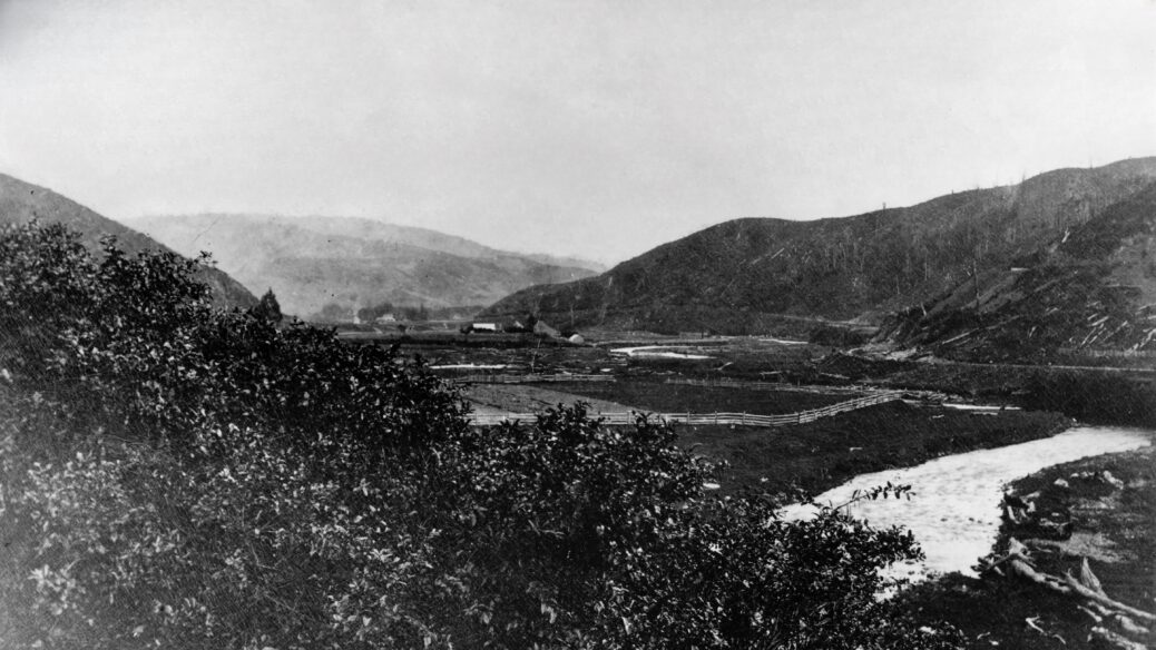
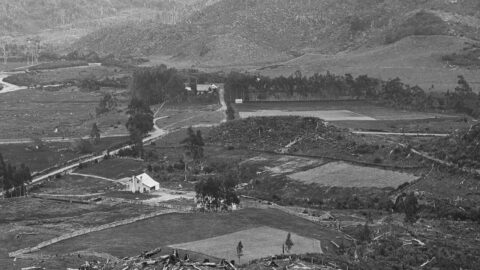
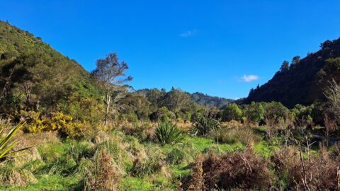
This view captures a fenced-off Hine Road Recreation Area in the 1870s or 1880s. Of course, in that era, the reserve area was farmland.
Here are some interesting observations:
Some homesteads are in view including of the Sinclair family. Colemans Tunnel is just visible in the upper-right of the photo. Smith’s Whare can also be seen near the confluence of Skerretts Creek and Wainuiomata River.
The Wainuiomata River looks flooded and the surrounding hills are stripped of trees. A sawmill operated by the Sinclair family is just out of view to the right / east in what is now the intersection of Whitcher Grove and Moores Valley Road. The Sinclairs logged present day Moores Valley, Reservoir Valley, Sunny Grove Valley, and the Hine Road area.

